Elevation of Co Rd, Berryville, AR, USA
Location: United States > Arkansas > Carroll County > Prairie Township > Berryville >
Longitude: -93.526343
Latitude: 36.348176
Elevation: 392m / 1286feet
Barometric Pressure: 97KPa
Elevation Map:
Satellite Map:
Related Photos:

Thorncrown Chapel
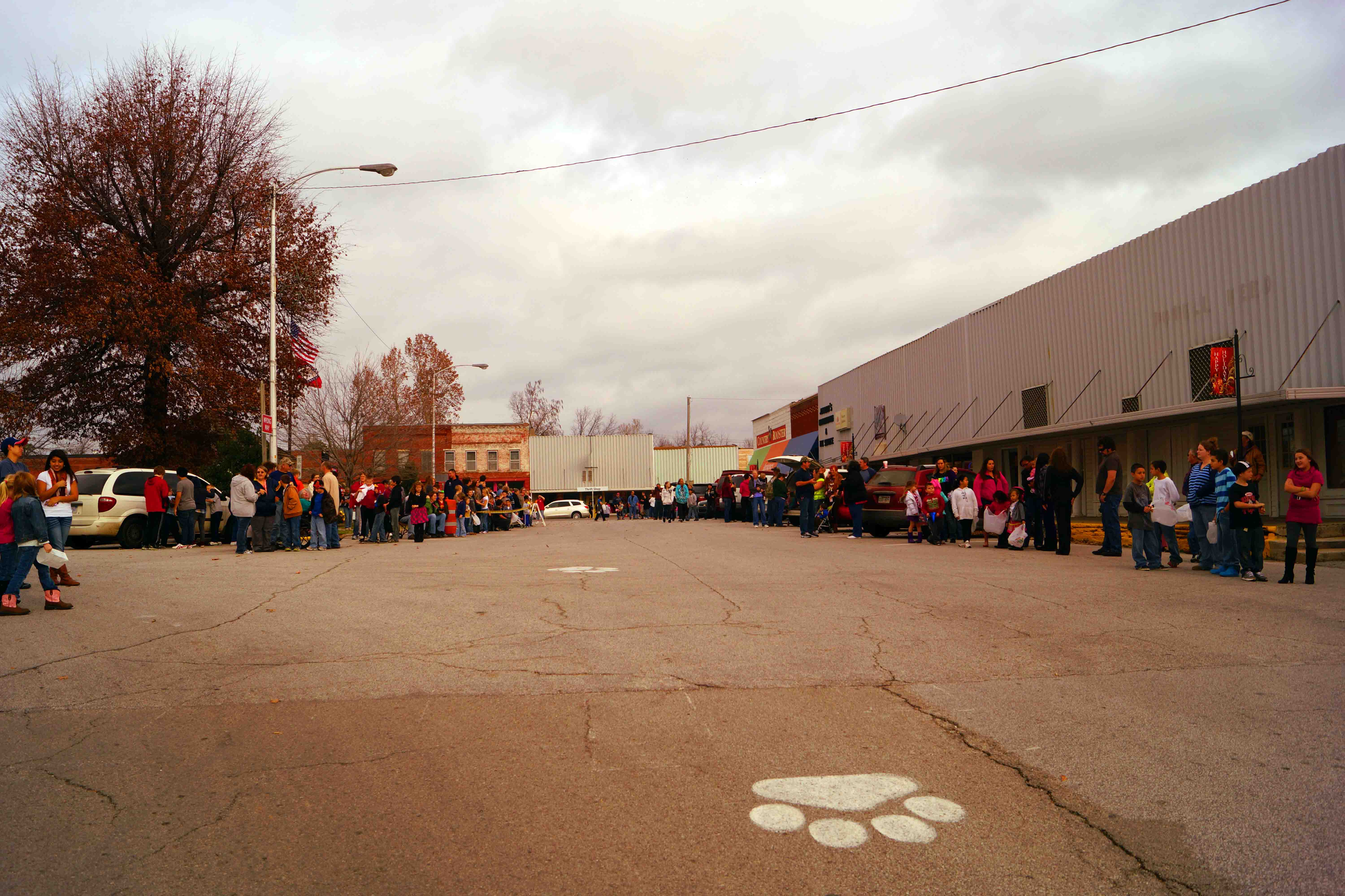
1."Your View Today" Before the Christmas Parade, Green Forest, AR
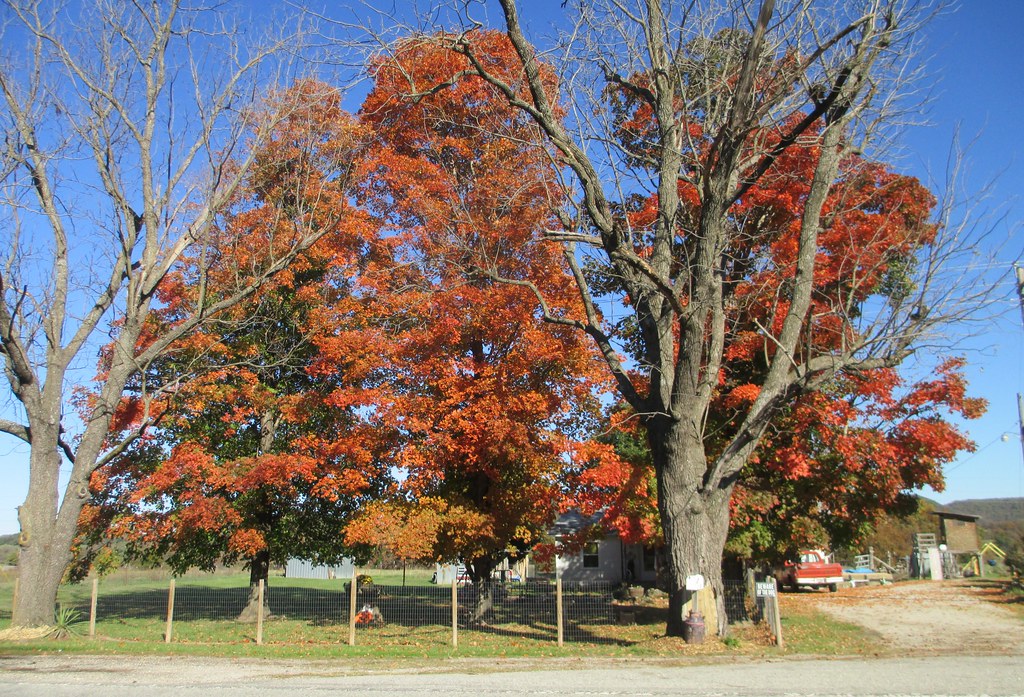
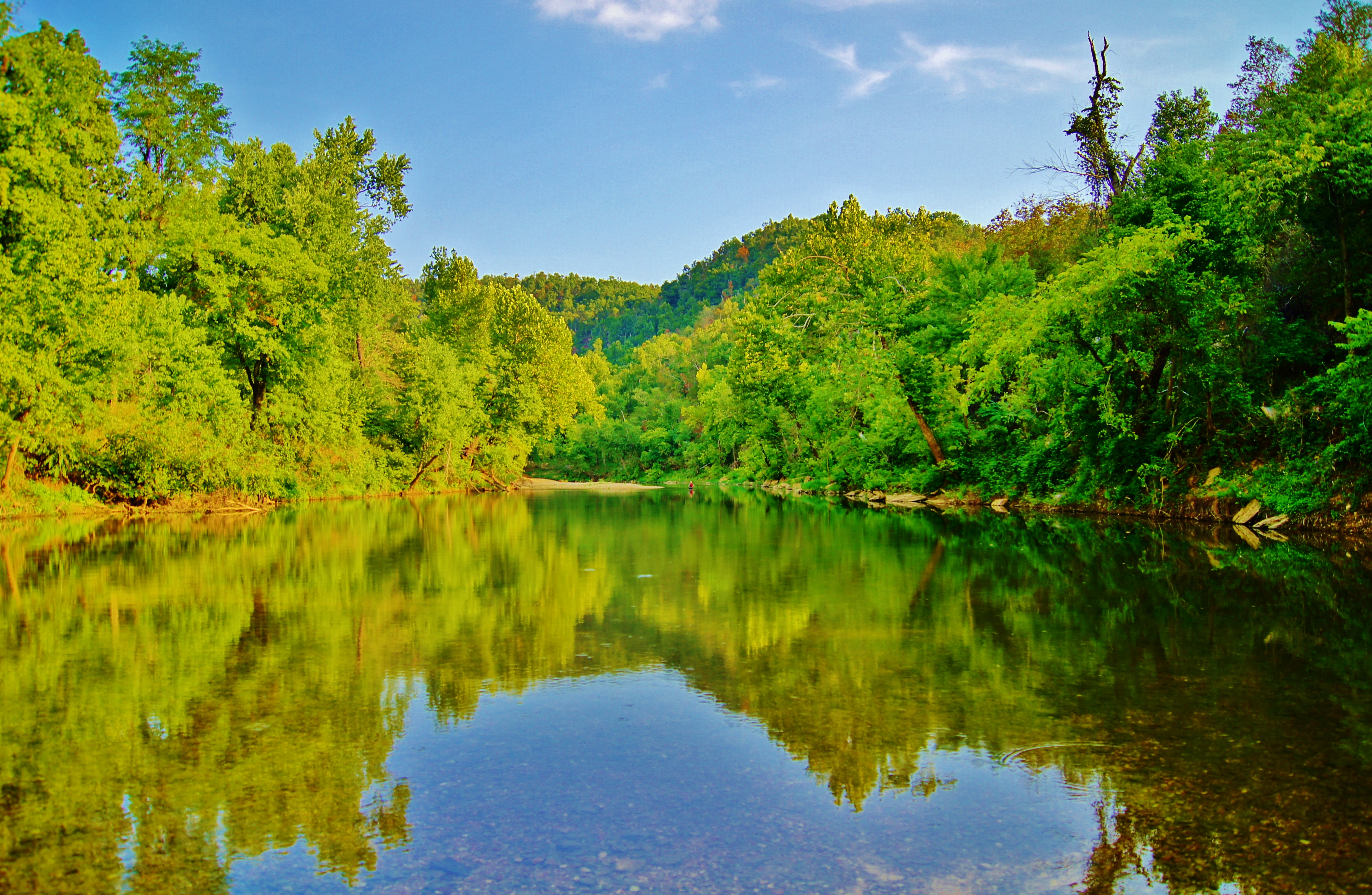
Northwestern Arkansas Landscape (Carroll County, Arkansas)
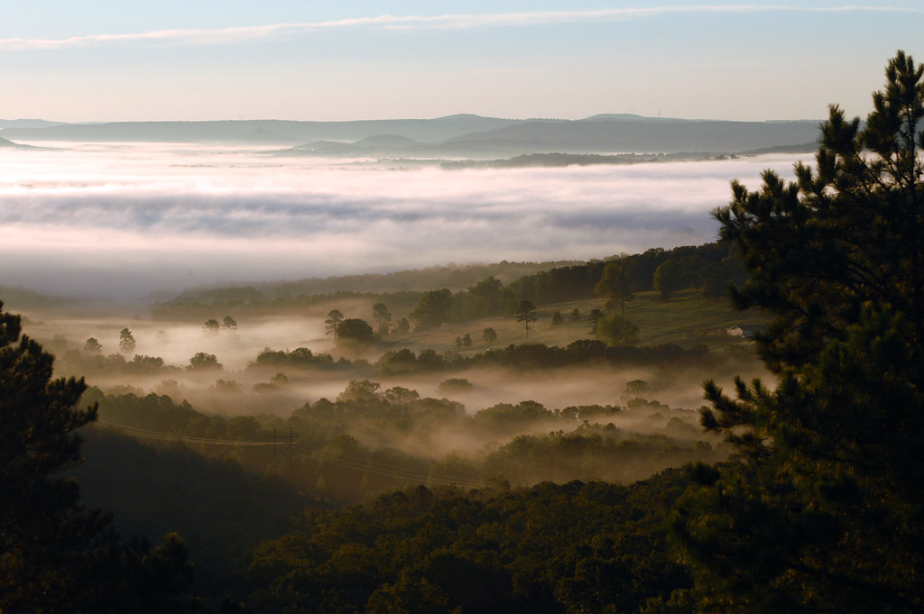
Fog in the Valley
Foggy Valley
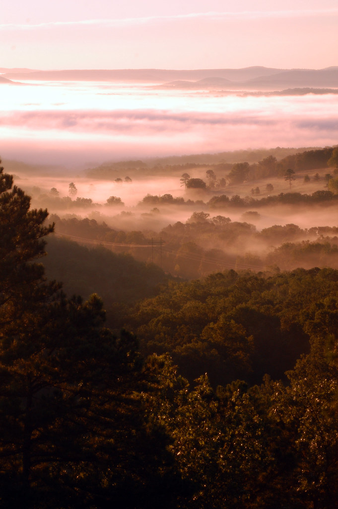
Early Morning Fog
Rockhouse Kings River HDR

Looking in the Deep

Northwestern Arkansas Landscape (Carroll County, Arkansas)
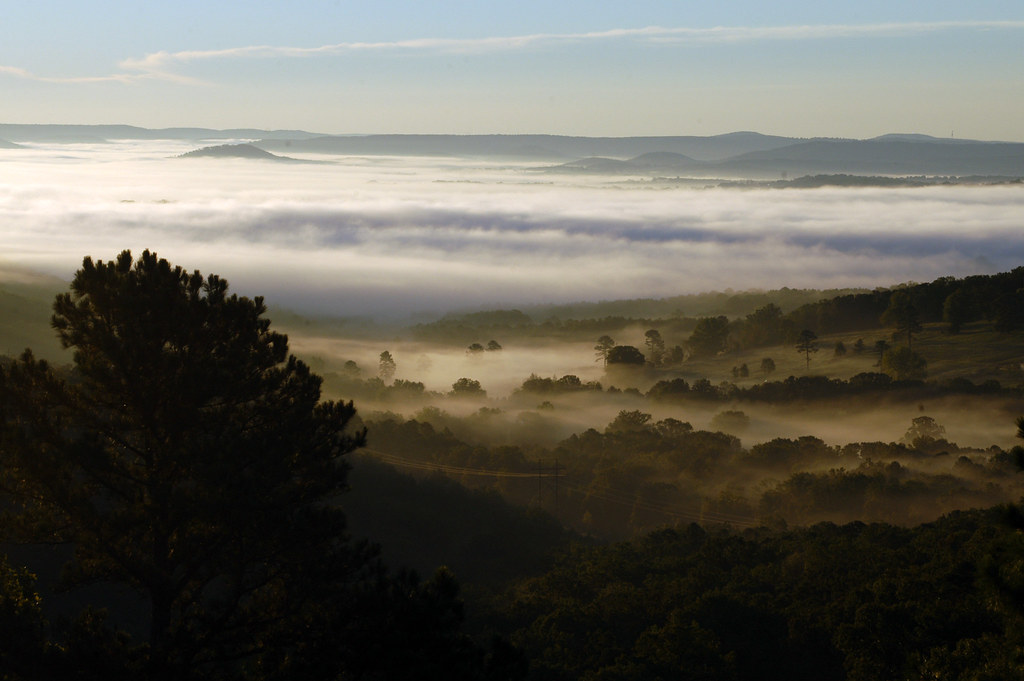
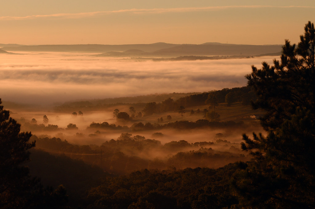
Ozarks Fog
Topographic Map of Co Rd, Berryville, AR, USA
Find elevation by address:

Places near Co Rd, Berryville, AR, USA:
1790 Us-62
881 Co Rd 603
Public Square, Berryville, AR, USA
Berryville
Taqueria Navidad
Prairie Township
83 Co Rd 5054
386 Co Rd 3082
386 Co Rd 3082
AR-21, Berryville, AR, USA
Omega Township
Bella Vista
3512 Co Rd 302
979 Co Rd 309
Christview Ministries, 992 Cr 309
County Road 315
413 Ar-23
Quigley Castle Rd, Eureka Springs, AR, USA
County Road 102
1385 County Rd 140
Recent Searches:
- Elevation of Woodland Oak Pl, Thousand Oaks, CA, USA
- Elevation of Brownsdale Rd, Renfrew, PA, USA
- Elevation of Corcoran Ln, Suffolk, VA, USA
- Elevation of Mamala II, Sariaya, Quezon, Philippines
- Elevation of Sarangdanda, Nepal
- Elevation of 7 Waterfall Way, Tomball, TX, USA
- Elevation of SW 57th Ave, Portland, OR, USA
- Elevation of Crocker Dr, Vacaville, CA, USA
- Elevation of Pu Ngaol Community Meeting Hall, HWHM+3X7, Krong Saen Monourom, Cambodia
- Elevation of Royal Ontario Museum, Queens Park, Toronto, ON M5S 2C6, Canada