Elevation of Olooloitikosh, Kenya
Location: Kenya > Kajiado County >
Longitude: 36.8034921
Latitude: -1.5764565
Elevation: 1699m / 5574feet
Barometric Pressure: 83KPa
Elevation Map:
Satellite Map:
Related Photos:

Ngong Hills

Ngong Hills, Kenya

Foto 13-08-13 12 07 27

Landing in Nairobi - Washington Dulles to Zurich to Nairobi on Swiss Air

Taken on the bus from Nairobi to Arusha, Tanzania

Taken on the bus from Nairobi to Arusha, Tanzania

Sleepy time on the bus from Nairobi to Arusha, Tanzania

Taken on the bus from Nairobi to Arusha, Tanzania
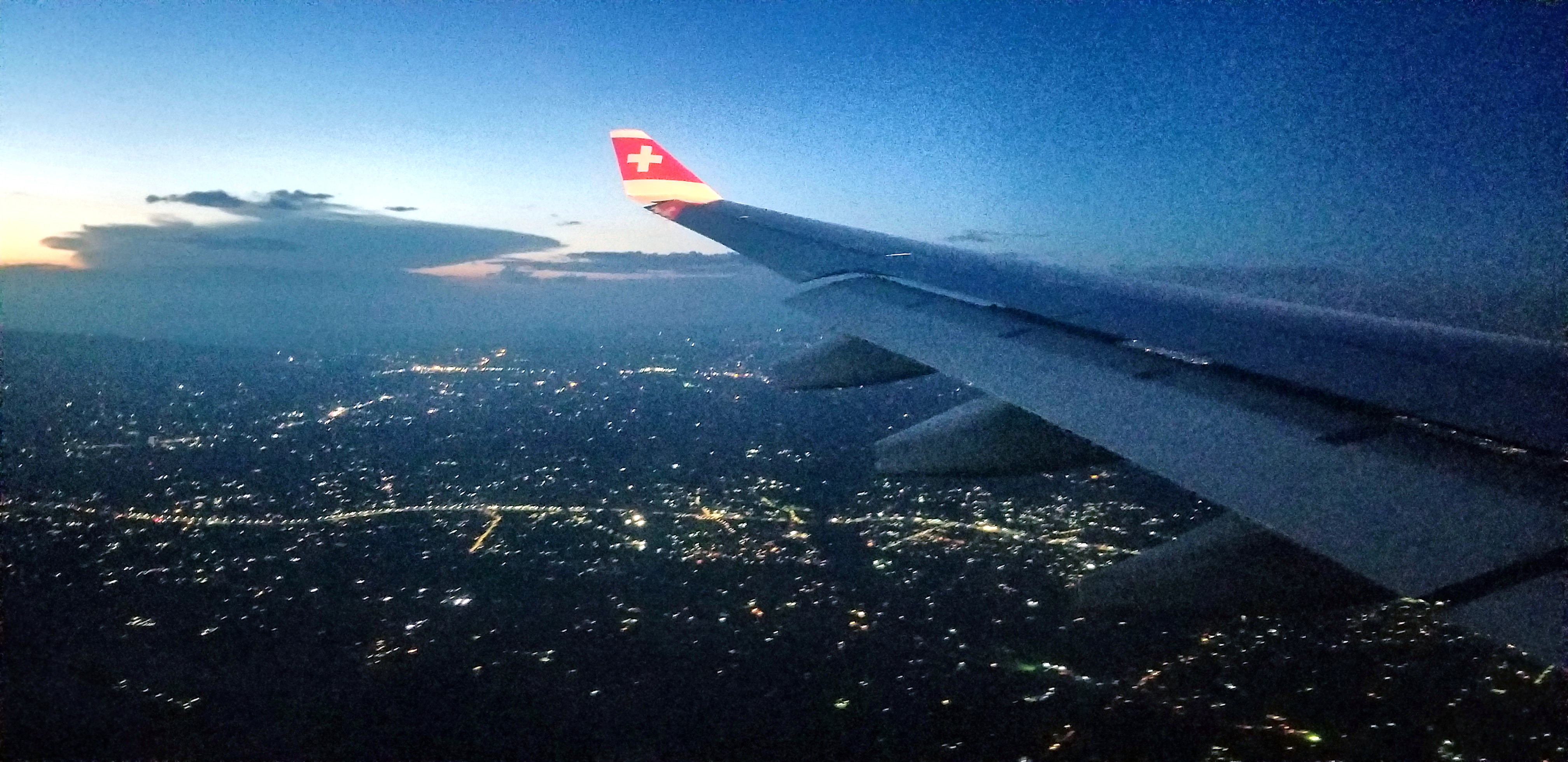
Descent into Nairobi on Swiss Air

IMG_20180106_130106.jpg

IMG_20180106_130109.jpg

It's Greener here than on the other side... #FarmHouseThings

Private Pools

#LuxuryLiving #MassiveFridge #WorkHardPlayHard

Haha.. #FarmHouseThings #FuckWCW This nigga be balling!! @legal_soul Lifestyle is What You Make It

Yeah, You see that? Are you senile? #beatsbydre #thirdeye #triangle My religion my business!

Elephants in Tsavo East National Park, Kenya

Ngong Hills, Kenya

#Kenya #roadtrip #clouds #namangaroad #instaclouds #photography #beauty #webstagram #statigram #stunningview #sunrays
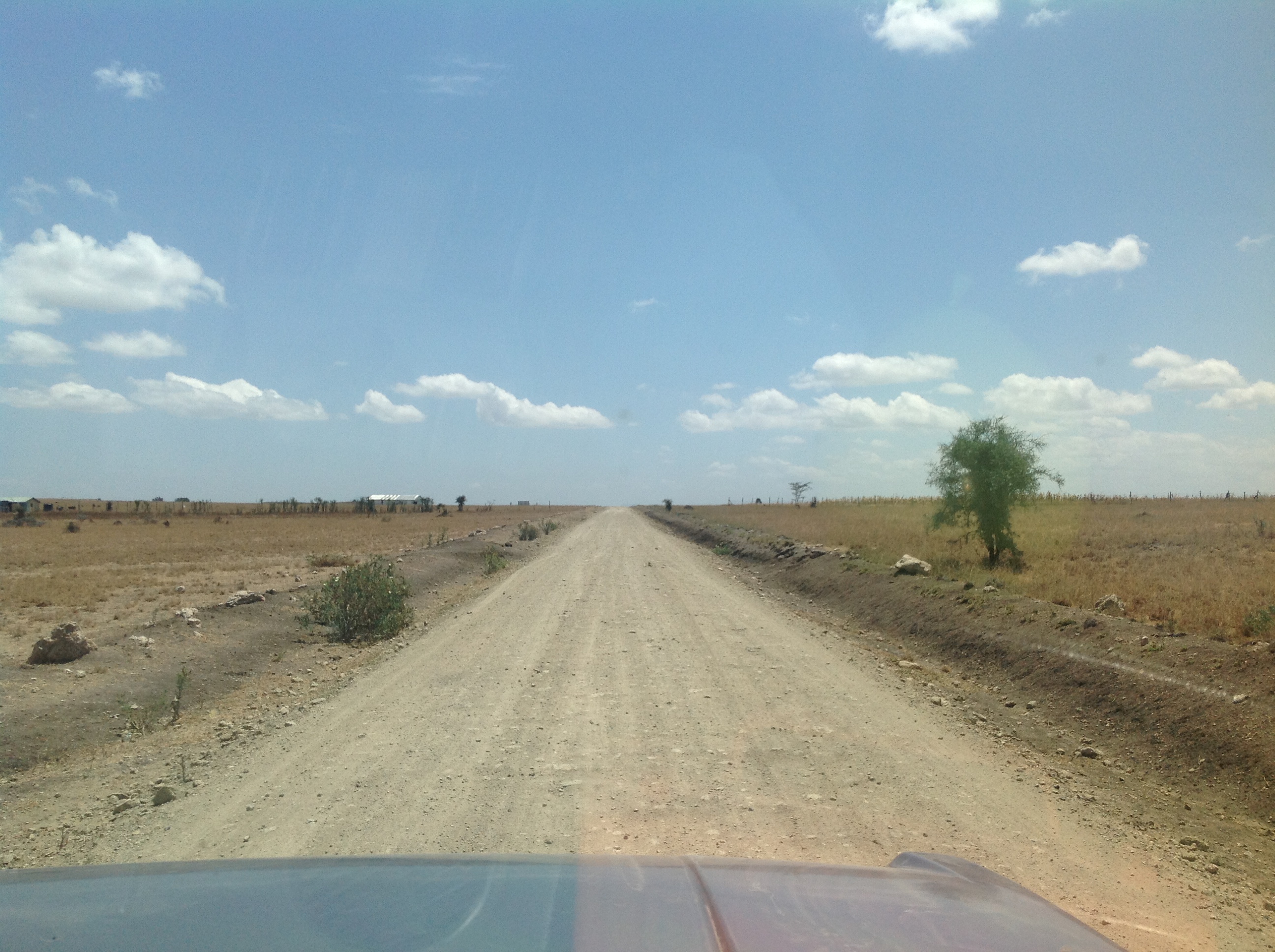
Foto 13-08-13 12 00 12

Foto 13-08-13 12 07 08
Topographic Map of Olooloitikosh, Kenya
Find elevation by address:

Places in Olooloitikosh, Kenya:
Places near Olooloitikosh, Kenya:
Kitengela
Kisaju
Kiserian
Kitengela
Athi River
Kajiado
Machakos
Kajiado County
Masii
Kibini
Kalamba
Ilmukutani Primary School
Ikalaasa
Lianai
Namanga Border Crossing
Namanga
Lake Amboseli
Longido
Amboseli
Amboseli National Park
Recent Searches:
- Elevation of Congressional Dr, Stevensville, MD, USA
- Elevation of Bellview Rd, McLean, VA, USA
- Elevation of Stage Island Rd, Chatham, MA, USA
- Elevation of Shibuya Scramble Crossing, 21 Udagawacho, Shibuya City, Tokyo -, Japan
- Elevation of Jadagoniai, Kaunas District Municipality, Lithuania
- Elevation of Pagonija rock, Kranto 7-oji g. 8"N, Kaunas, Lithuania
- Elevation of Co Rd 87, Jamestown, CO, USA
- Elevation of Tenjo, Cundinamarca, Colombia
- Elevation of Côte-des-Neiges, Montreal, QC H4A 3J6, Canada
- Elevation of Bobcat Dr, Helena, MT, USA