Elevation of Longido, Tanzania
Location: Tanzania >
Longitude: 36.702679
Latitude: -2.715672
Elevation: 1647m / 5404feet
Barometric Pressure: 83KPa
Elevation Map:
Satellite Map:
Related Photos:
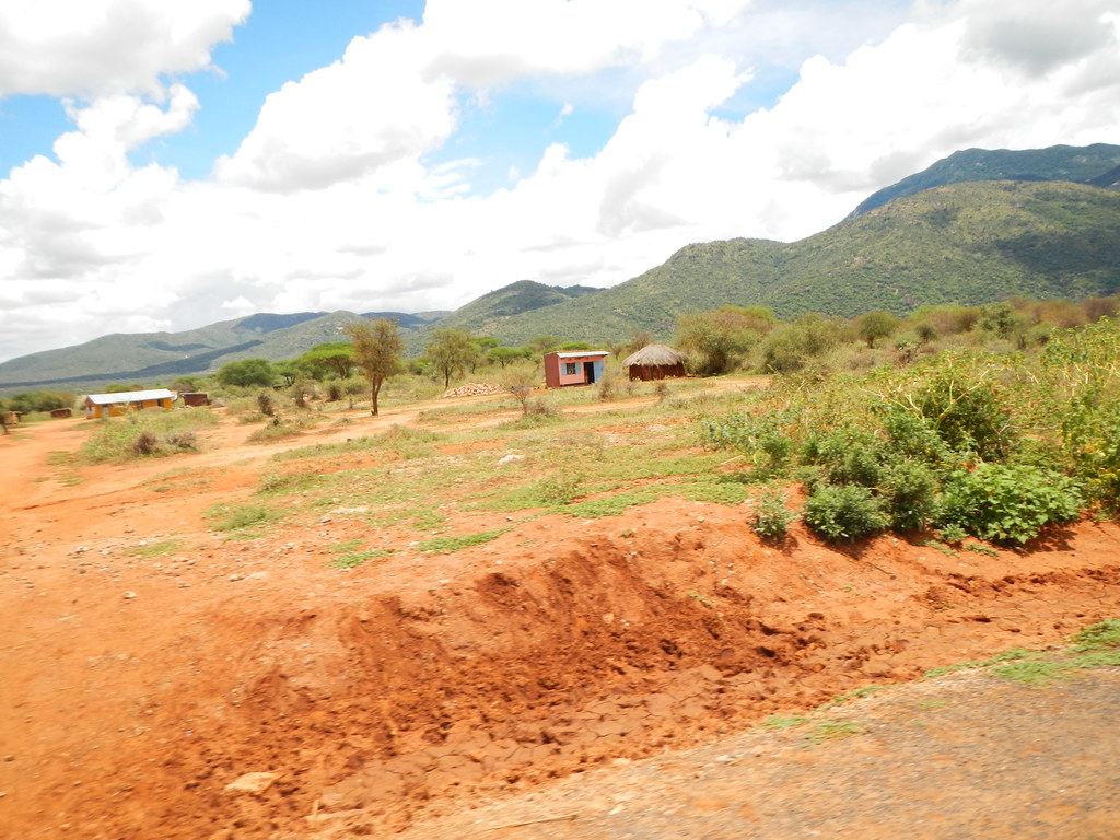
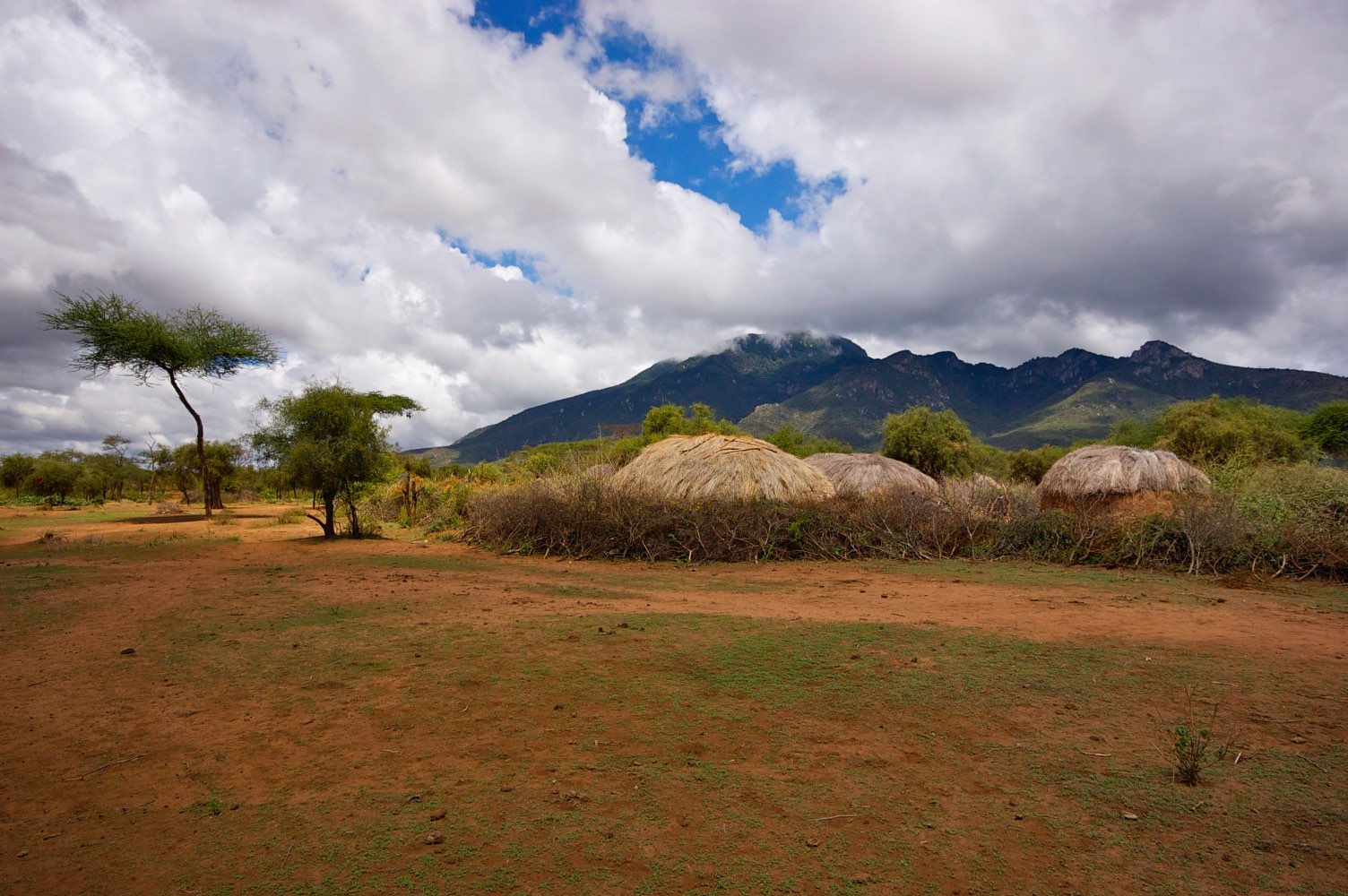
DSCN0319

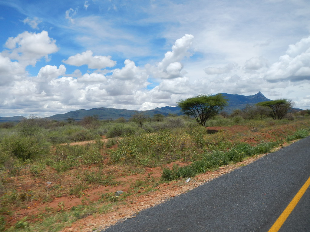
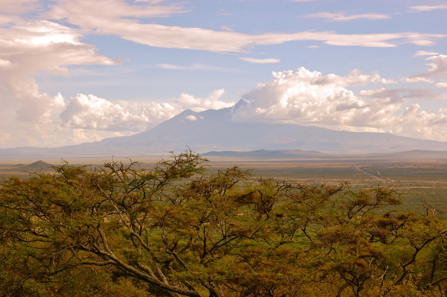
100718_africa_3825
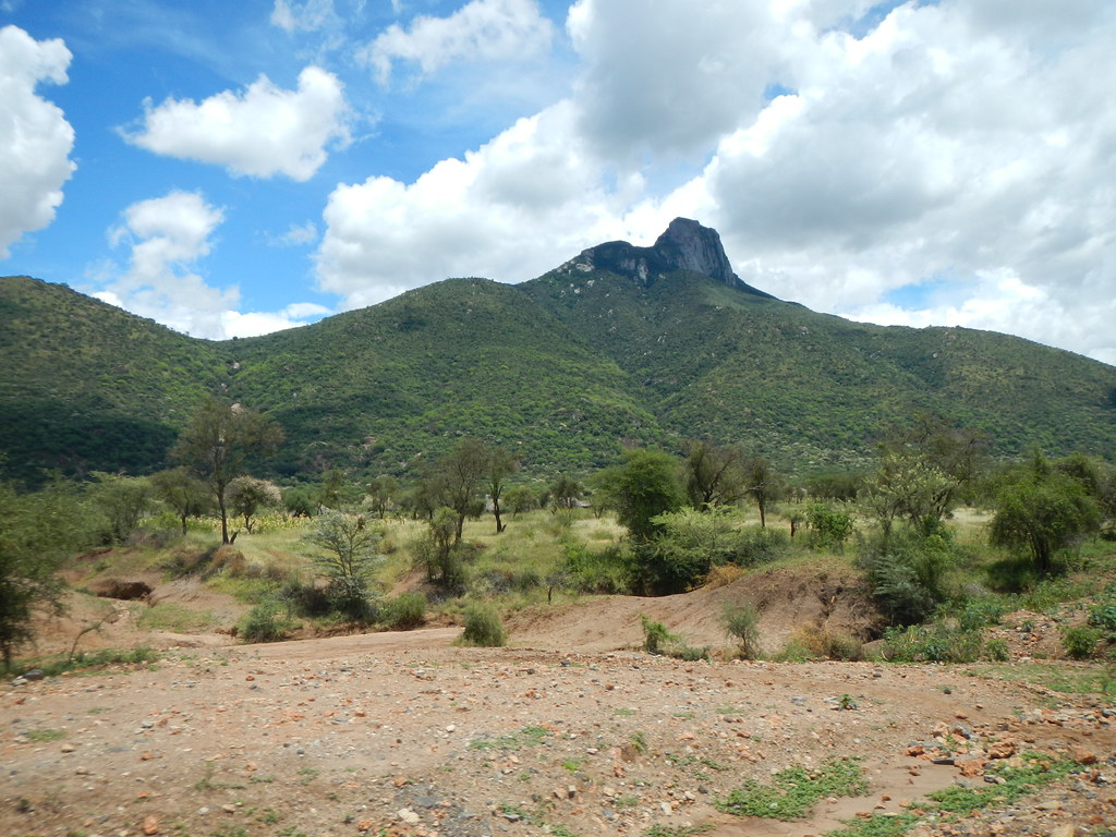
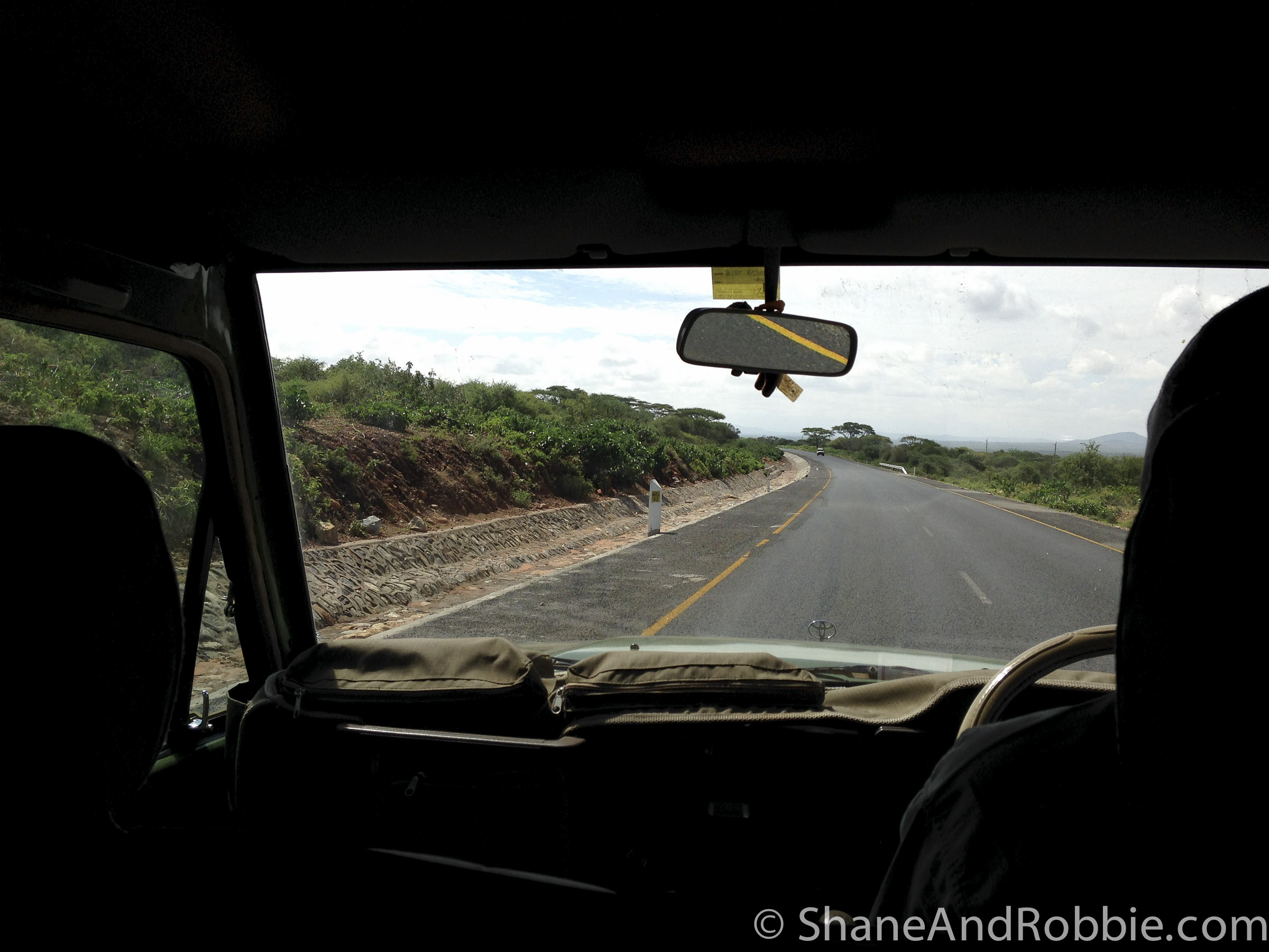
DSCN0316
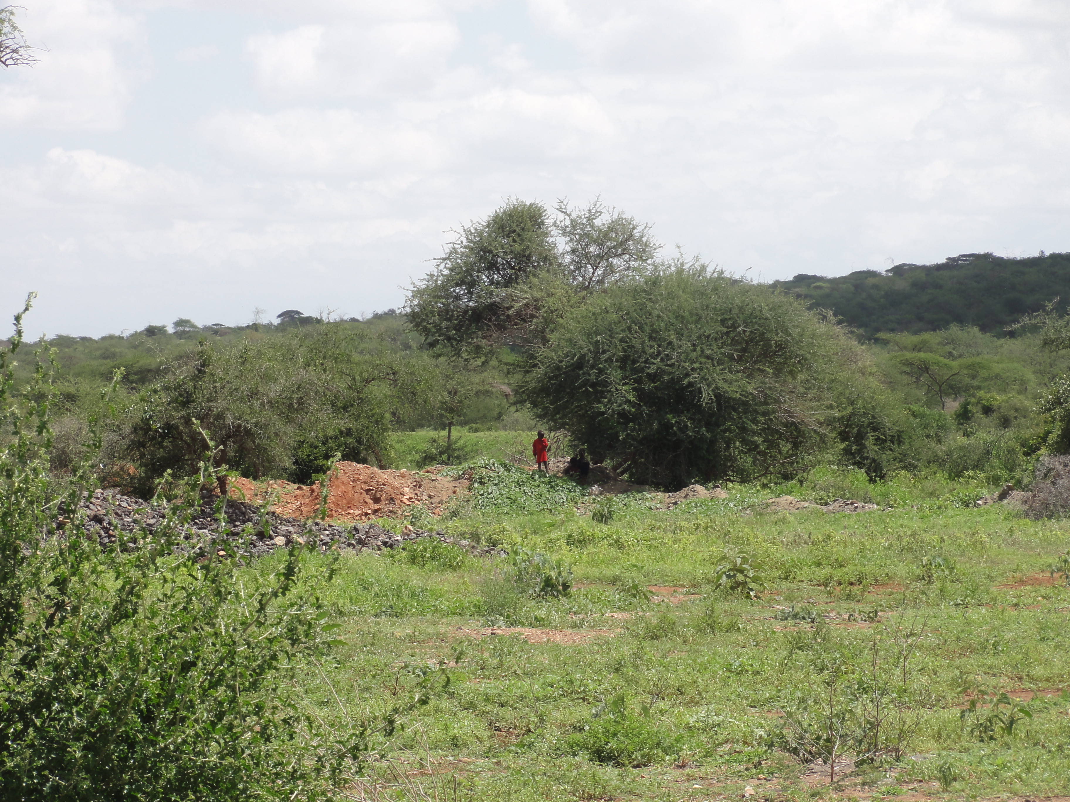
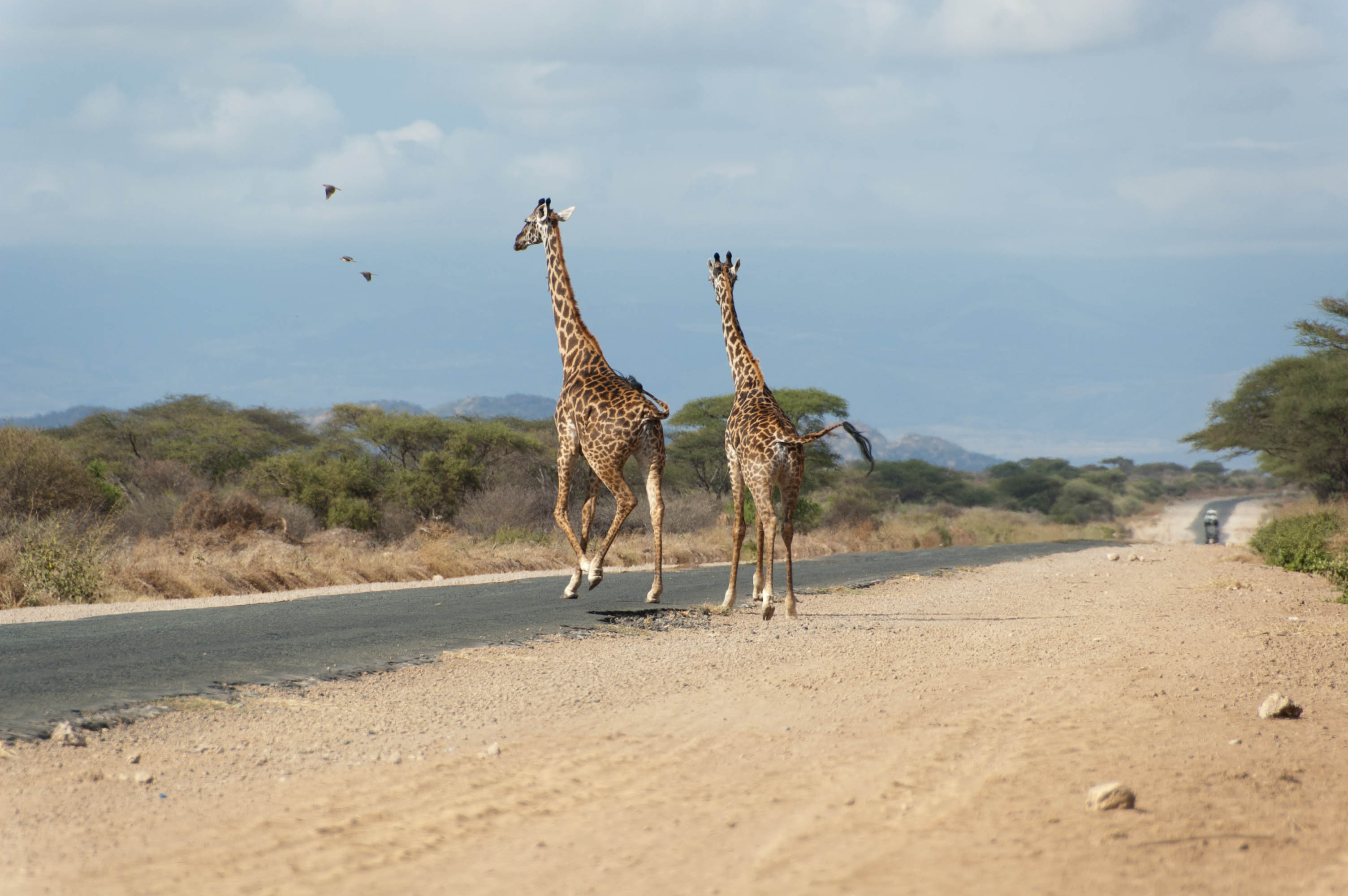
DSCN0320

DSCN0317
DSC06426

"Day's End in East Africa" #sunset #goldenhour #acacia #Tanzania #Longido #RoadTrip #RoadTripAfrica #safari #nofilter #DaysEnd #EastAfrica #ontheroad #Arusha #bordercrossing #silhouette (c) Marlene C. Francia 2016

Kenya-20131216-00726(iPhone 5)
Kenya-20131216-00725(iPhone 5)

DSC_0124.jpg

DSC_0099.jpg

DSC_0098.jpg

DSC_0089.jpg

DSC_0064.jpg

DSC_0182.jpg
DSC_0176.jpg

20090726_16.06_tanzania_P1000453
Topographic Map of Longido, Tanzania
Find elevation by address:

Places near Longido, Tanzania:
Namanga
Namanga Border Crossing
Lianai
Lake Amboseli
Amboseli
Amboseli National Park
Ol Tukai
Amboseli Serena Safari Lodge
Kajiado County
Kibo Safari Camp
Ilmukutani Primary School
Kibini
Kimana
Kajiado
Kisaju
Olooloitikosh
Kalamba
Kitengela
Kitengela
Makueni County
Recent Searches:
- Elevation of Rojo Ct, Atascadero, CA, USA
- Elevation of Flagstaff Drive, Flagstaff Dr, North Carolina, USA
- Elevation of Avery Ln, Lakeland, FL, USA
- Elevation of Woolwine, VA, USA
- Elevation of Lumagwas Diversified Farmers Multi-Purpose Cooperative, Lumagwas, Adtuyon, RV32+MH7, Pangantucan, Bukidnon, Philippines
- Elevation of Homestead Ridge, New Braunfels, TX, USA
- Elevation of Orchard Road, Orchard Rd, Marlborough, NY, USA
- Elevation of 12 Hutchinson Woods Dr, Fletcher, NC, USA
- Elevation of Holloway Ave, San Francisco, CA, USA
- Elevation of Norfolk, NY, USA