Elevation of Old Wooleybah Road, Old Wooleybah Rd, Teridgerie NSW, Australia
Location: Australia > New South Wales > Teridgerie >
Longitude: 148.999506
Latitude: -30.821501
Elevation: 270m / 886feet
Barometric Pressure: 98KPa
Elevation Map:
Satellite Map:
Related Photos:
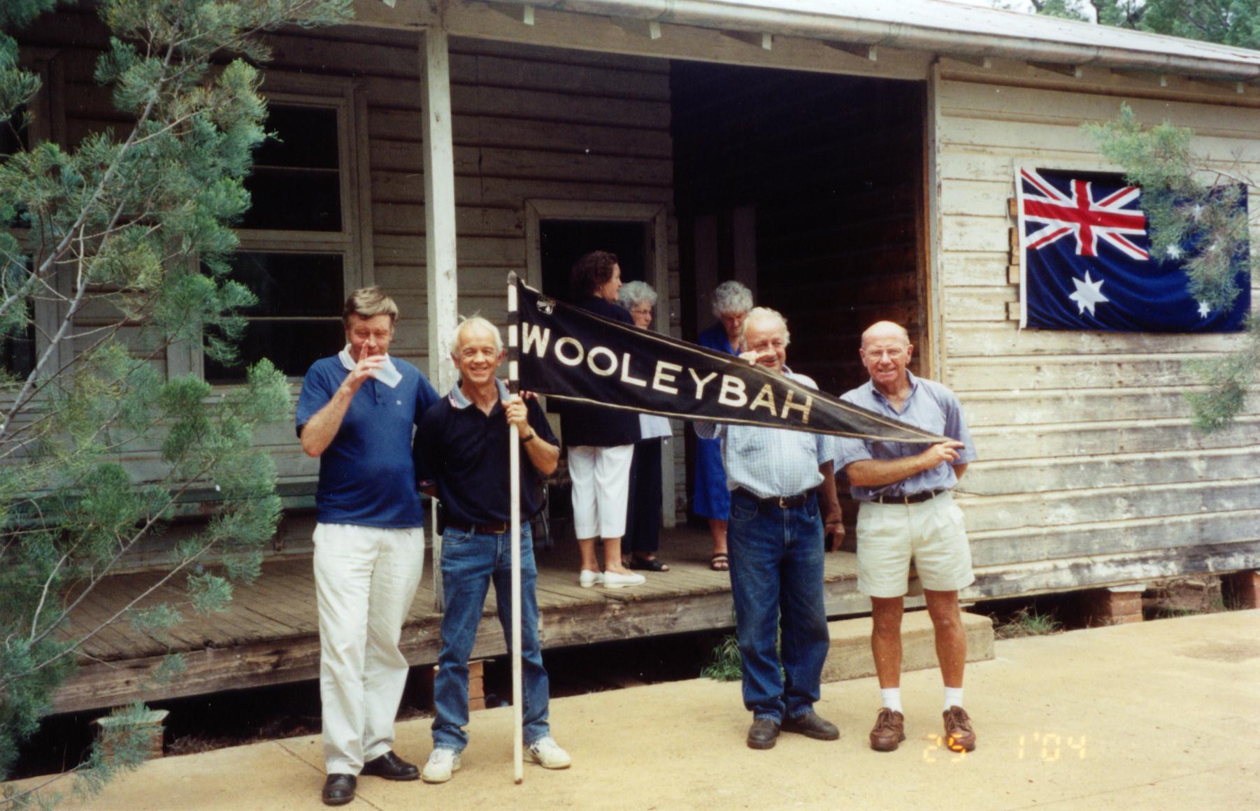
Wooleybah School
2016_Warrumbungles - 6
2016_Warrumbungles - 8
2016_Warrumbungles - 10
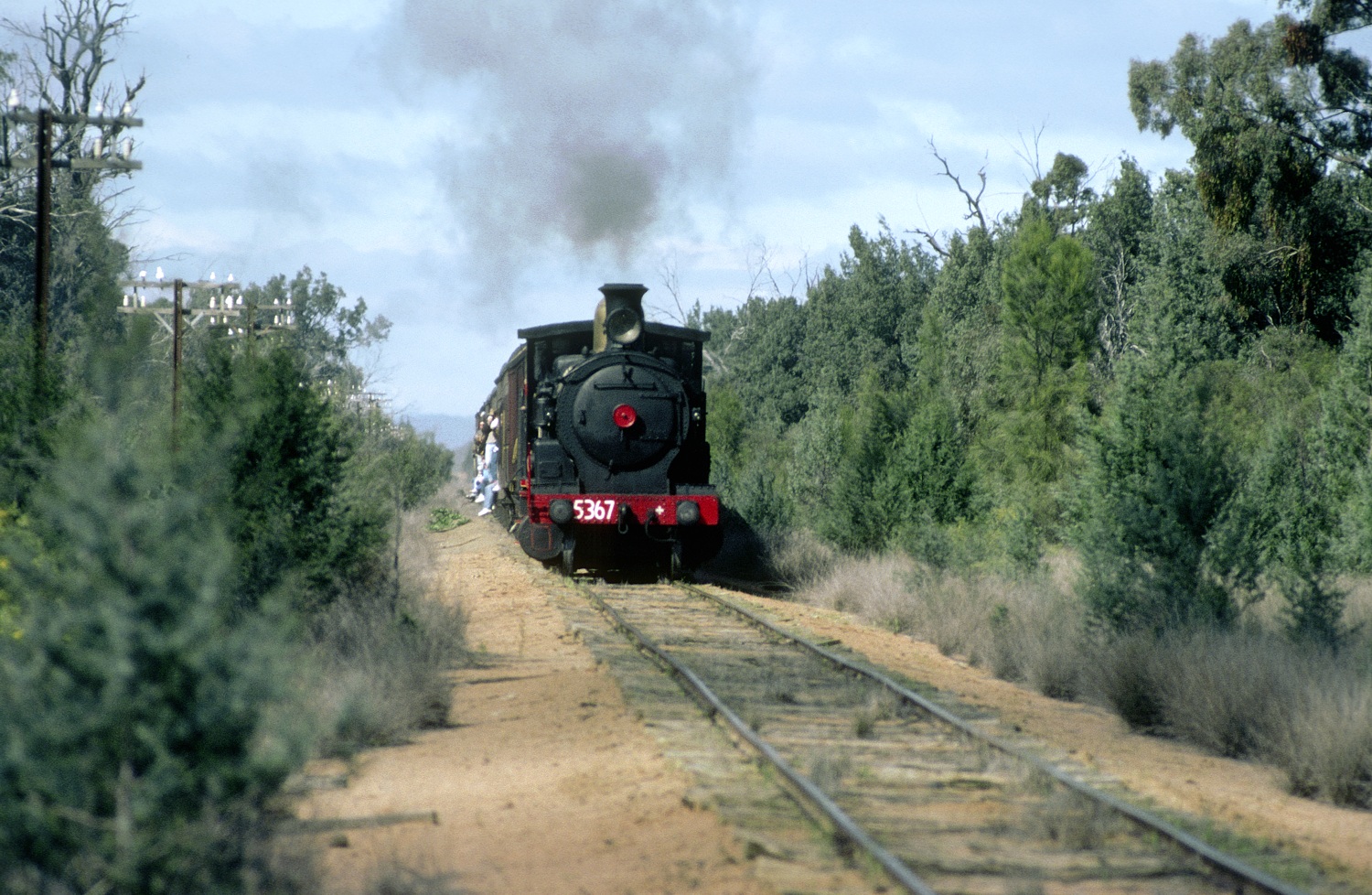
5367 near Kenebri, Gwabegar Branch, NSW, 7th August, 1988.
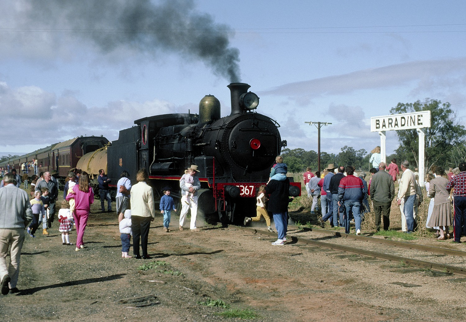
5367 at Baradine Station. Gwabegar Branch, NSW, 7th August, 1988.

4853, Baradine
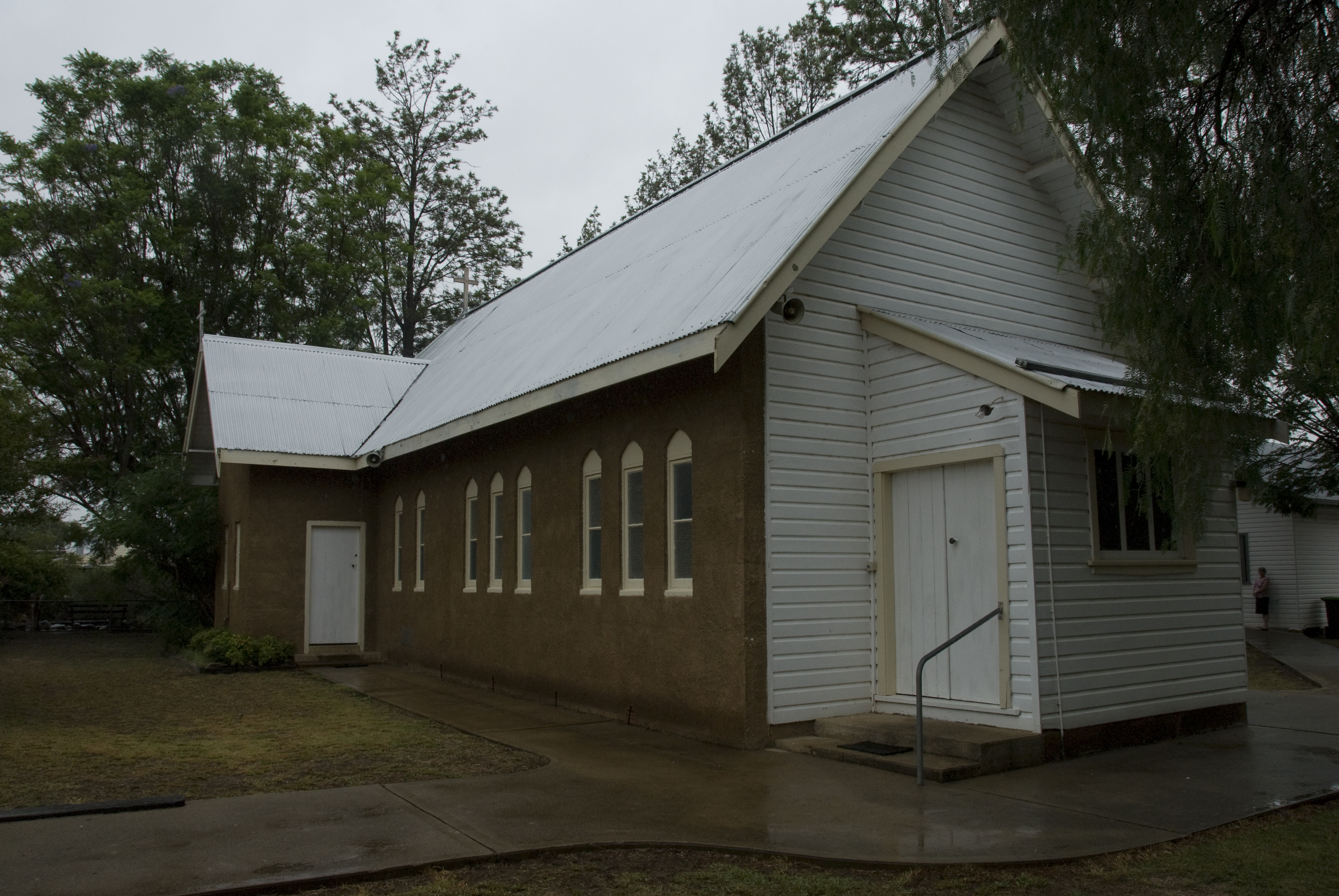
St Andrews Anglican Church Baradine NSW

Finger Lickin

Art markets, Barradine
2012-09-16 11.28.40

Tattersalls Hotel
2009-11-26 12-19
2009-11-26 12-09
Topographic Map of Old Wooleybah Road, Old Wooleybah Rd, Teridgerie NSW, Australia
Find elevation by address:

Places near Old Wooleybah Road, Old Wooleybah Rd, Teridgerie NSW, Australia:
Recent Searches:
- Elevation of Congressional Dr, Stevensville, MD, USA
- Elevation of Bellview Rd, McLean, VA, USA
- Elevation of Stage Island Rd, Chatham, MA, USA
- Elevation of Shibuya Scramble Crossing, 21 Udagawacho, Shibuya City, Tokyo -, Japan
- Elevation of Jadagoniai, Kaunas District Municipality, Lithuania
- Elevation of Pagonija rock, Kranto 7-oji g. 8"N, Kaunas, Lithuania
- Elevation of Co Rd 87, Jamestown, CO, USA
- Elevation of Tenjo, Cundinamarca, Colombia
- Elevation of Côte-des-Neiges, Montreal, QC H4A 3J6, Canada
- Elevation of Bobcat Dr, Helena, MT, USA