Elevation map of Coonamble Shire Council, Coonamble, NSW, Australia
Location: Australia > New South Wales >
Longitude: 148.189292
Latitude: -30.790320
Elevation: 155m / 509feet
Barometric Pressure: 99KPa
Elevation Map:
Satellite Map:
Related Photos:
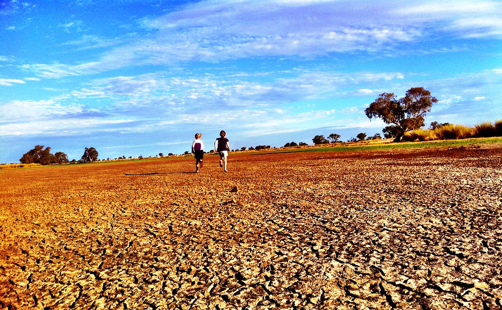
Day 110 outtake

Day 111 outtake
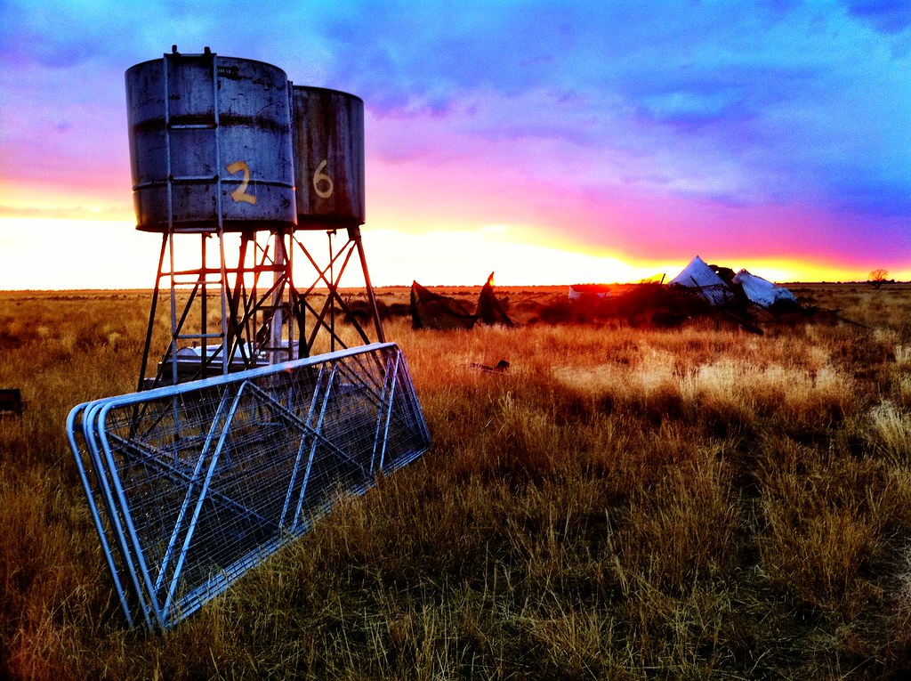
Day 111: 21 April 2011
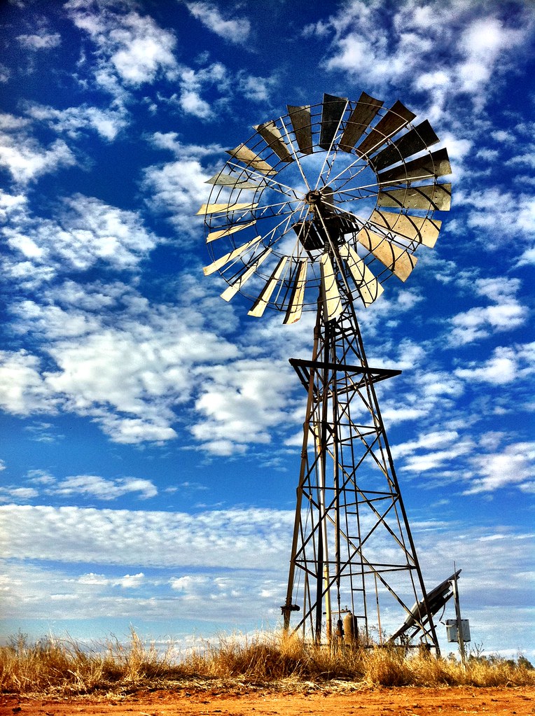
Day 110: 20 April 2011 Explored
2009-11-26 11-09
Topographic Map of Coonamble Shire Council, Coonamble, NSW, Australia
Find elevation by address:

Places in Coonamble Shire Council, Coonamble, NSW, Australia:
Places near Coonamble Shire Council, Coonamble, NSW, Australia:
Recent Searches:
- Elevation of East W.T. Harris Boulevard, E W.T. Harris Blvd, Charlotte, NC, USA
- Elevation of West Sugar Creek, Charlotte, NC, USA
- Elevation of Wayland, NY, USA
- Elevation of Steadfast Ct, Daphne, AL, USA
- Elevation of Lagasgasan, X+CQH, Tiaong, Quezon, Philippines
- Elevation of Rojo Ct, Atascadero, CA, USA
- Elevation of Flagstaff Drive, Flagstaff Dr, North Carolina, USA
- Elevation of Avery Ln, Lakeland, FL, USA
- Elevation of Woolwine, VA, USA
- Elevation of Lumagwas Diversified Farmers Multi-Purpose Cooperative, Lumagwas, Adtuyon, RV32+MH7, Pangantucan, Bukidnon, Philippines