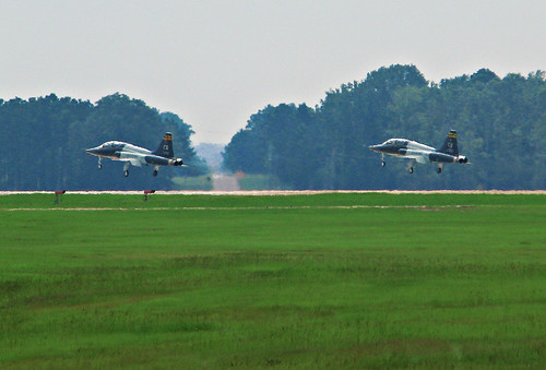
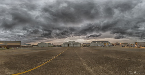
Elevation of Old Wolf Rd, Caledonia, MS, USA
Location: United States > Mississippi > Lowndes County > Caledonia >
Longitude: -88.332992
Latitude: 33.697544
Elevation: 81m / 266feet
Barometric Pressure: 100KPa
Related Photos:
Topographic Map of Old Wolf Rd, Caledonia, MS, USA
Find elevation by address:

Places near Old Wolf Rd, Caledonia, MS, USA:
110 Main St
Caledonia
Hamilton
Justin Cir, Columbus, MS, USA
Steens
200 Lakeview Dr
420 Waring Rd
Co Rd 10, Millport, AL, USA
564 Plantation Dr
3232 Military Rd
Northdale Dr, Columbus, MS, USA
Skylark Dr, Columbus, MS, USA
Witherspoon Road
6003 Hwy 182 E
E Plum St, Columbus, MS, USA
1109 N 12th St
Columbus
110 Main St
15th Street South
Maderia Dr, Columbus, MS, USA
Recent Searches:
- Elevation of Redondo Ave, Long Beach, CA, USA
- Elevation of Sadovaya Ulitsa, 20, Rezh, Sverdlovskaya oblast', Russia
- Elevation of Ulitsa Kalinina, 79, Rezh, Sverdlovskaya oblast', Russia
- Elevation of 72-31 Metropolitan Ave, Middle Village, NY, USA
- Elevation of 76 Metropolitan Ave, Brooklyn, NY, USA
- Elevation of Alisal Rd, Solvang, CA, USA
- Elevation of Vista Blvd, Sparks, NV, USA
- Elevation of 15th Ave SE, St. Petersburg, FL, USA
- Elevation of Beall Road, Beall Rd, Florida, USA
- Elevation of Leguwa, Nepal


