Elevation of Hwy E, Columbus, MS, USA
Location: United States > Mississippi > Lowndes County > Columbus >
Longitude: -88.324742
Latitude: 33.493451
Elevation: 78m / 256feet
Barometric Pressure: 100KPa
Elevation Map:
Satellite Map:
Related Photos:

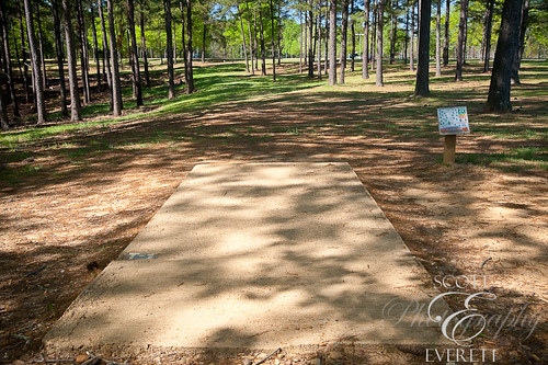
PSE8UnkBtrFlyD90-034999

Headboard and Pillows, Tennessee Williams House
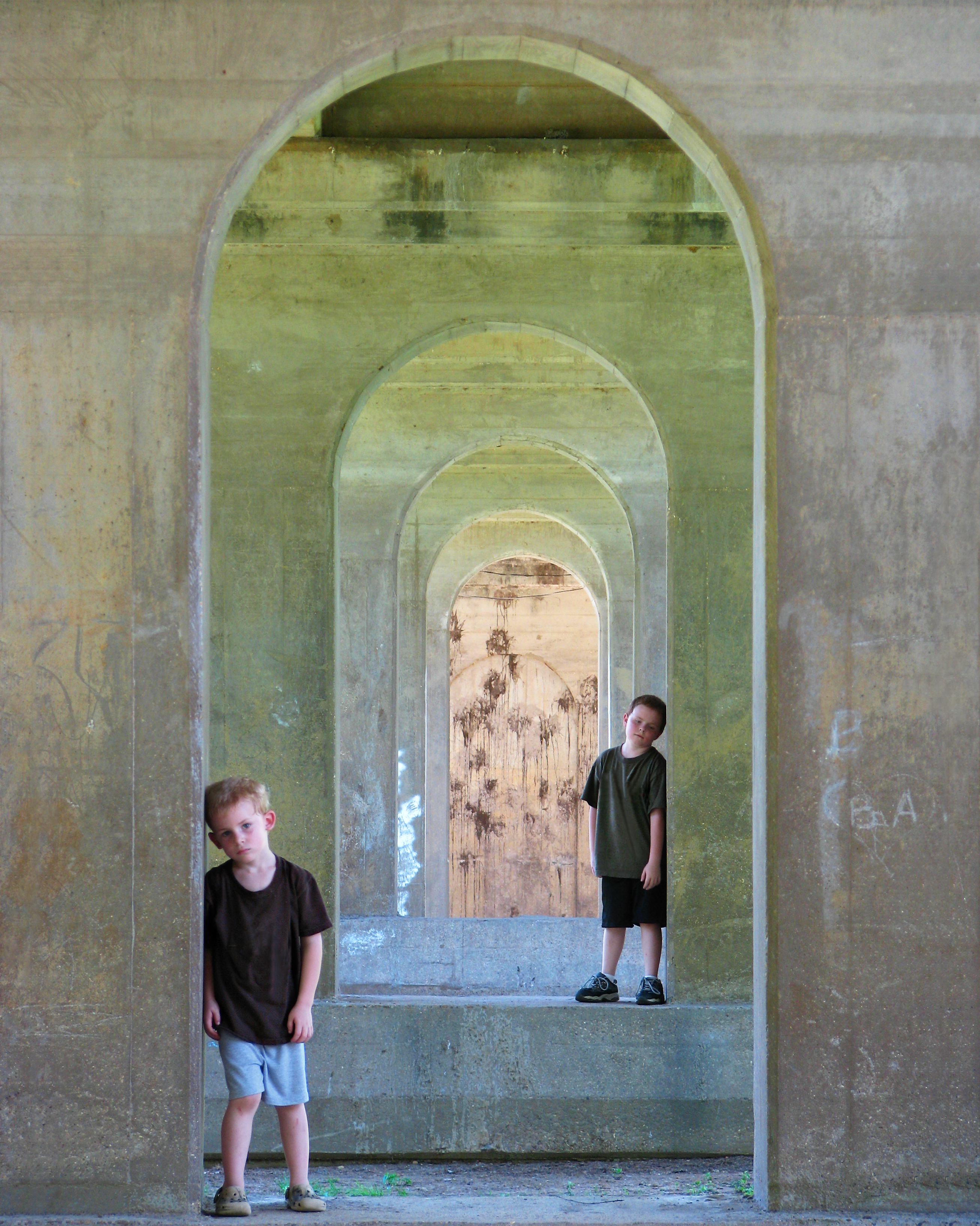
Under the Bridge

Lamp, Tennessee Williams House

Pillow, Tennessee Williams House

Various Items, Tennessee Williams House

2ndSwamp-Beauty130419_059w

HighSunWinterWoodsD90-029783

PSE8SwampD90-035116

PSE8SwmpMidSumrD90-011763
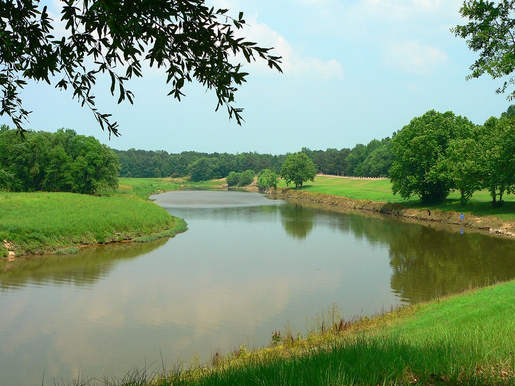
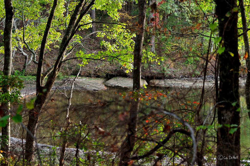
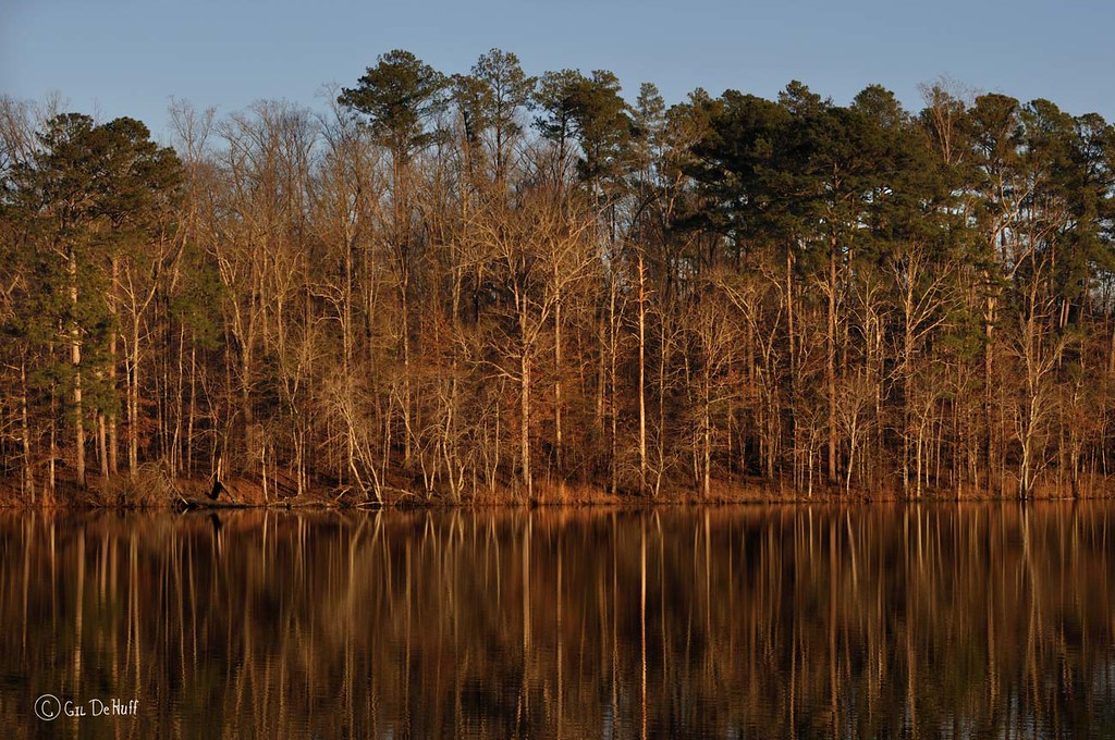
Luxapalila Creek
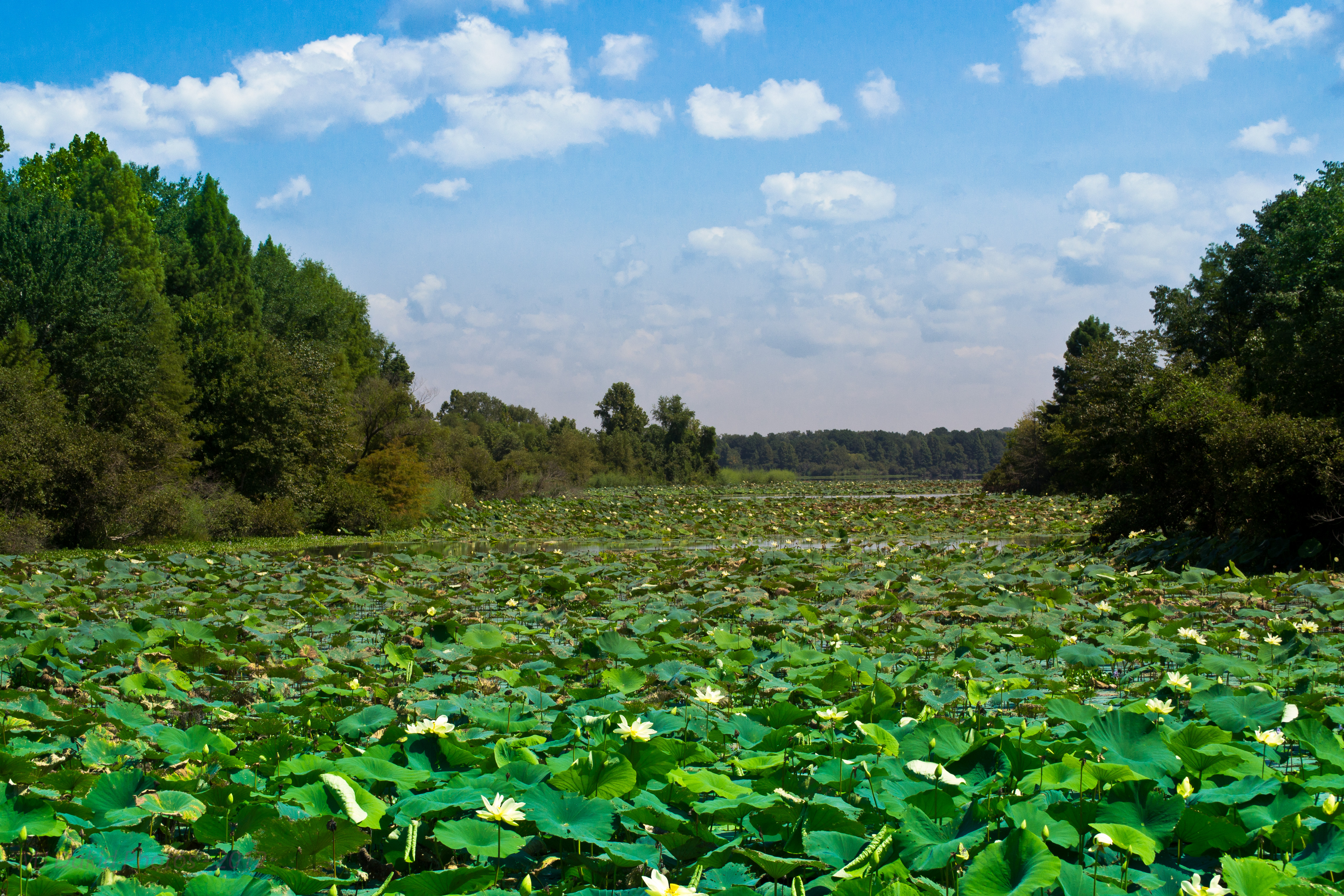
Lilly Lake MS
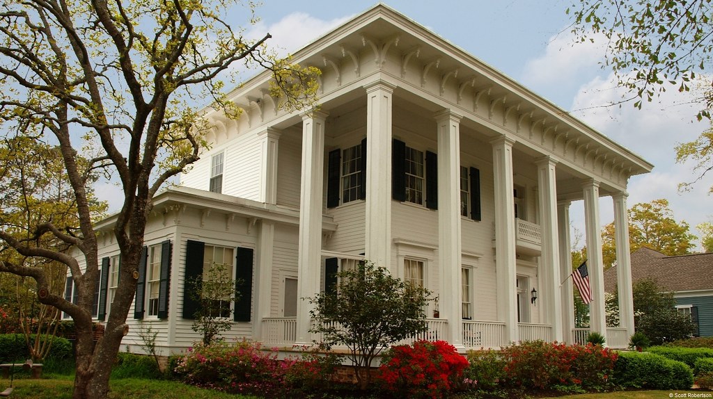
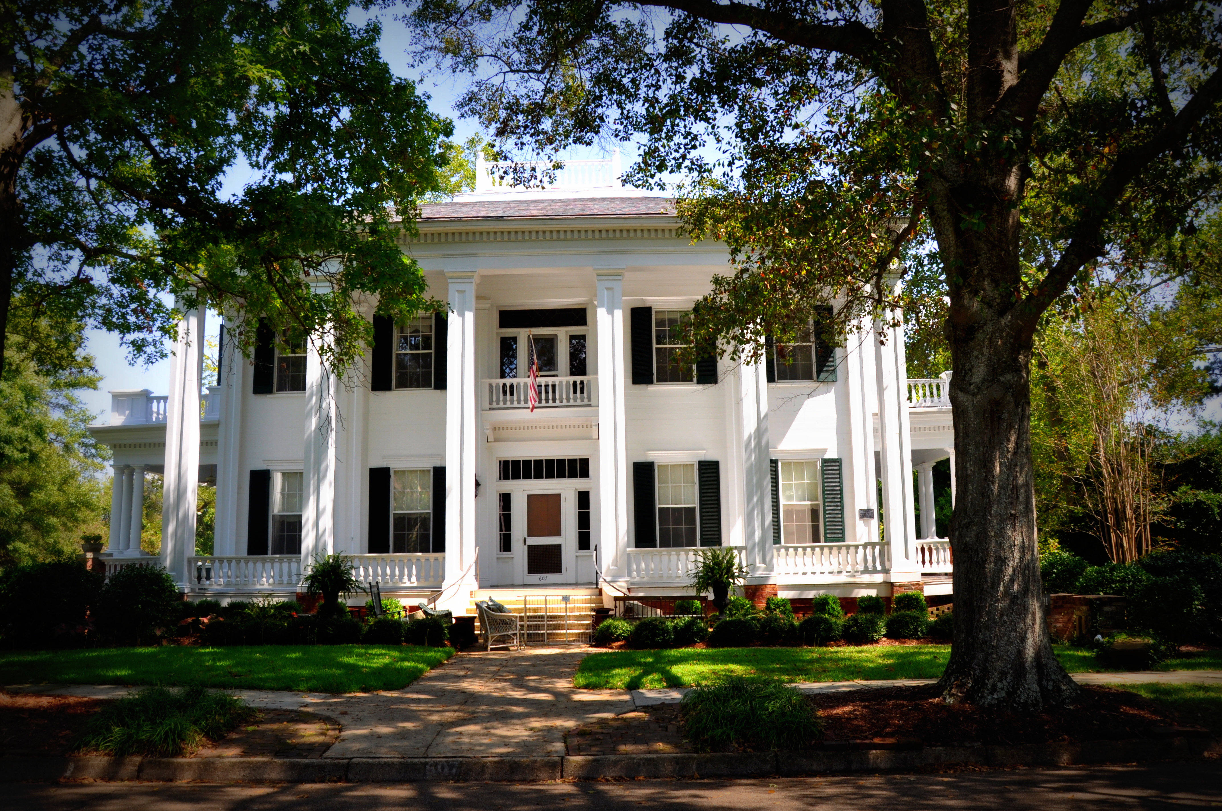
Antebellum Home (Columbus, MS)
Lake Lowndes State Park-1
NutriaDenD90-020183

Rosewood Manor, Columbus, MS
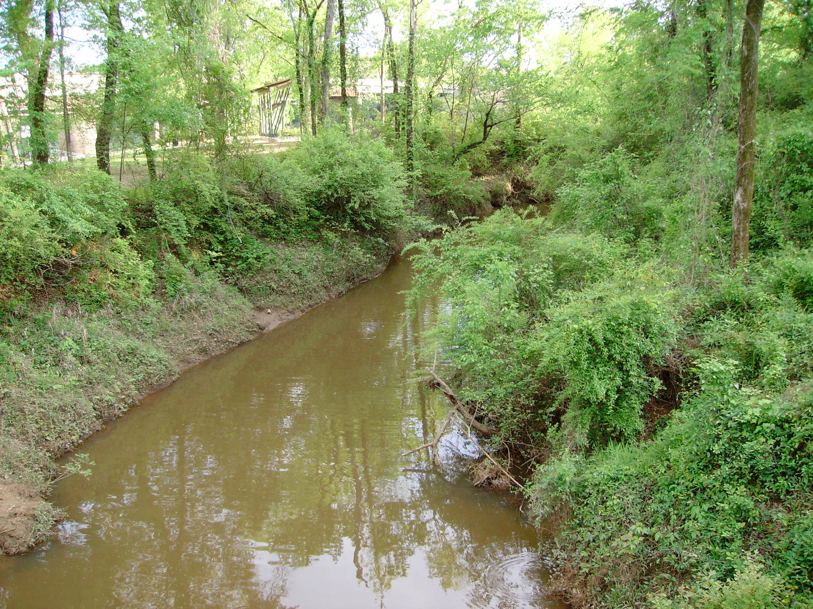
other side of the big creek
Whitehall (c. 1843)

ahh, nature
CreamyReflection130118_042-4w
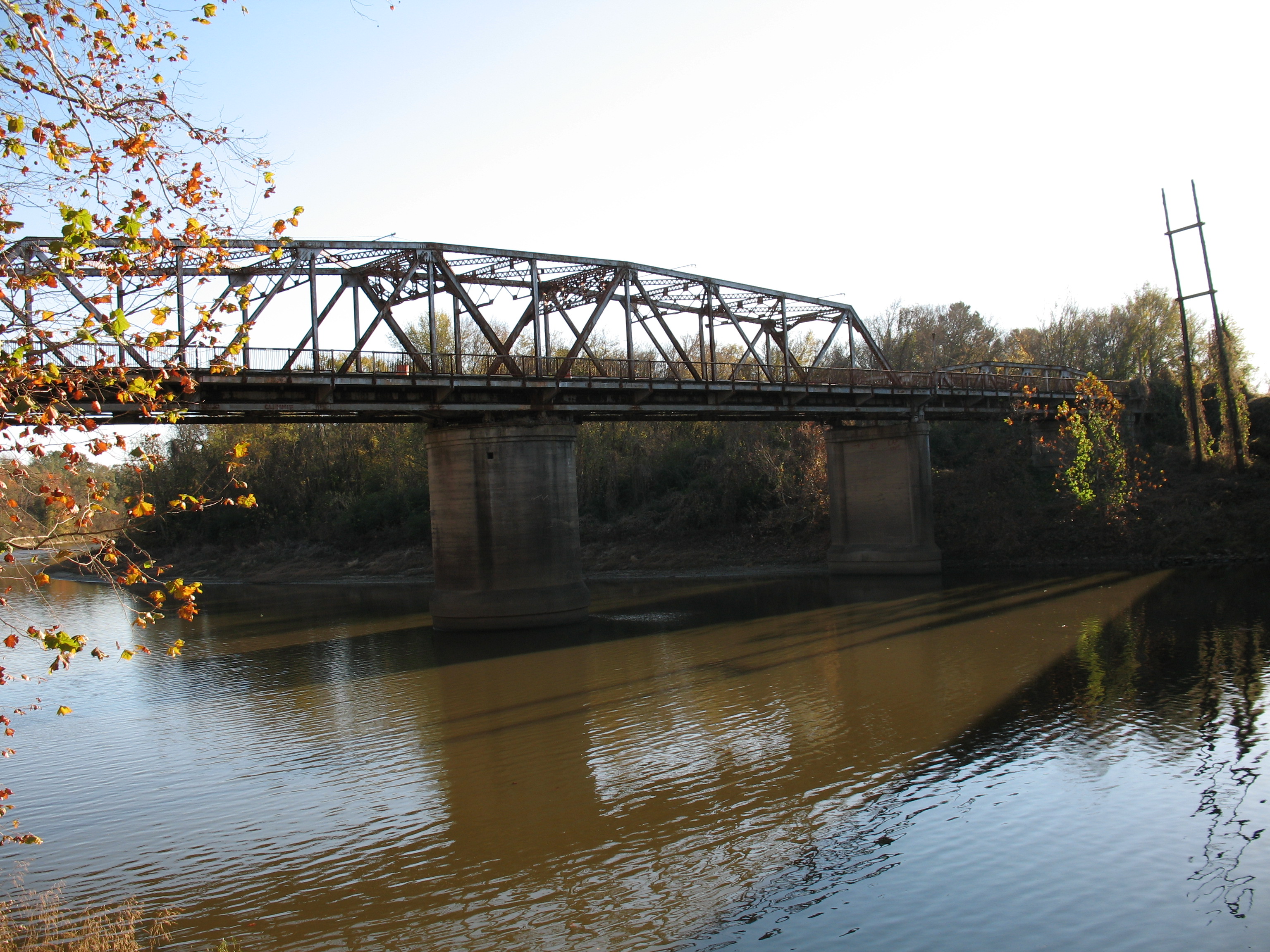
old river bridge

PSE8SloughD90-035118
Topographic Map of Hwy E, Columbus, MS, USA
Find elevation by address:

Places near Hwy E, Columbus, MS, USA:
E Plum St, Columbus, MS, USA
Skylark Dr, Columbus, MS, USA
Maderia Dr, Columbus, MS, USA
Steens
3232 Military Rd
200 Lakeview Dr
15th Street South
4300 Co Rd 30
4320 Co Rd 30
420 Waring Rd
1109 N 12th St
Columbus
Northdale Dr, Columbus, MS, USA
110 Main St
Lowndes County
564 Plantation Dr
US-45, Columbus, MS, USA
3750 Artesia Rd
Golden Triangle Regional Airport
Recent Searches:
- Elevation of Lampiasi St, Sarasota, FL, USA
- Elevation of Elwyn Dr, Roanoke Rapids, NC, USA
- Elevation of Congressional Dr, Stevensville, MD, USA
- Elevation of Bellview Rd, McLean, VA, USA
- Elevation of Stage Island Rd, Chatham, MA, USA
- Elevation of Shibuya Scramble Crossing, 21 Udagawacho, Shibuya City, Tokyo -, Japan
- Elevation of Jadagoniai, Kaunas District Municipality, Lithuania
- Elevation of Pagonija rock, Kranto 7-oji g. 8"N, Kaunas, Lithuania
- Elevation of Co Rd 87, Jamestown, CO, USA
- Elevation of Tenjo, Cundinamarca, Colombia