Elevation of Old Truckee Rd, Sierraville, CA, USA
Location: United States > California > Sierra County > Sierraville >
Longitude: -120.35091
Latitude: 39.5579248
Elevation: 1597m / 5239feet
Barometric Pressure: 84KPa
Elevation Map:
Satellite Map:
Related Photos:

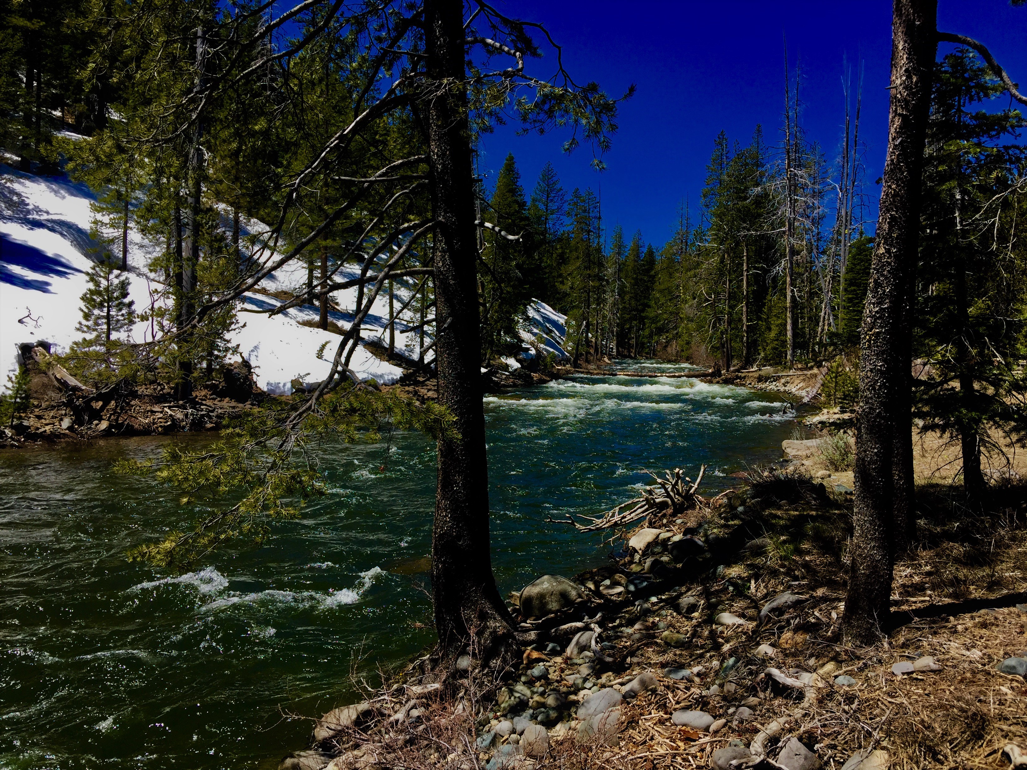
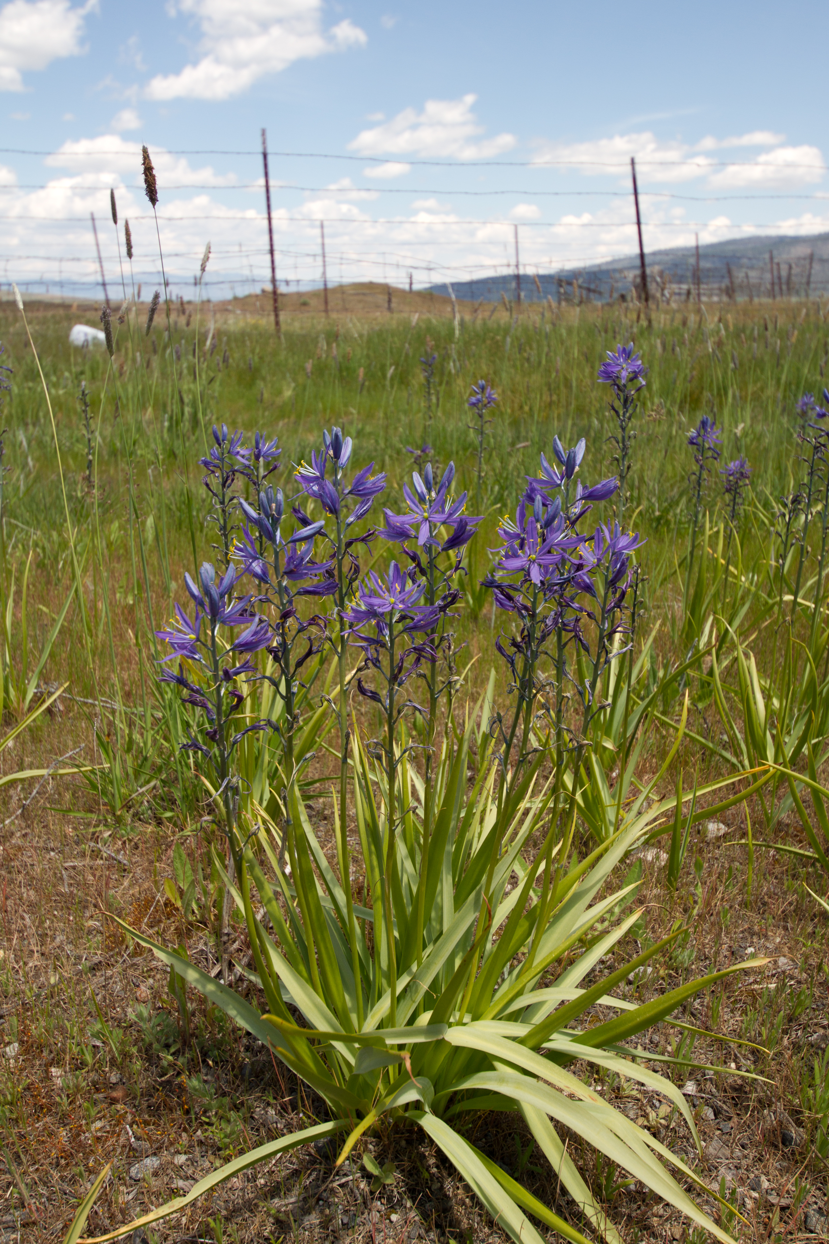
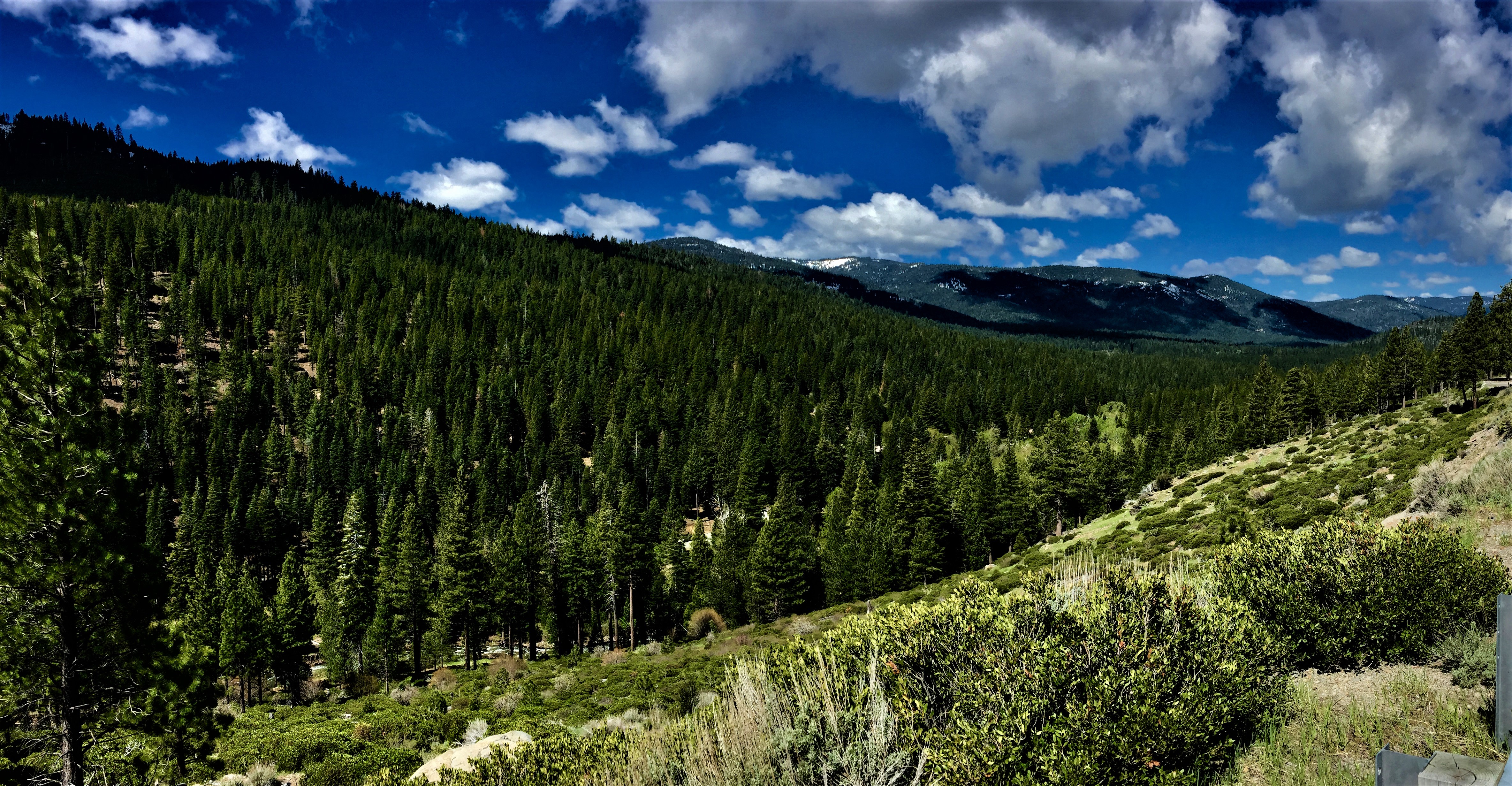
Headwaters of the The Little Truckee River
Great Trout Water

Sex on a finger tip (Bibio vestitus) March flies

Mountain Bluebird Juvenile - Multiple Views
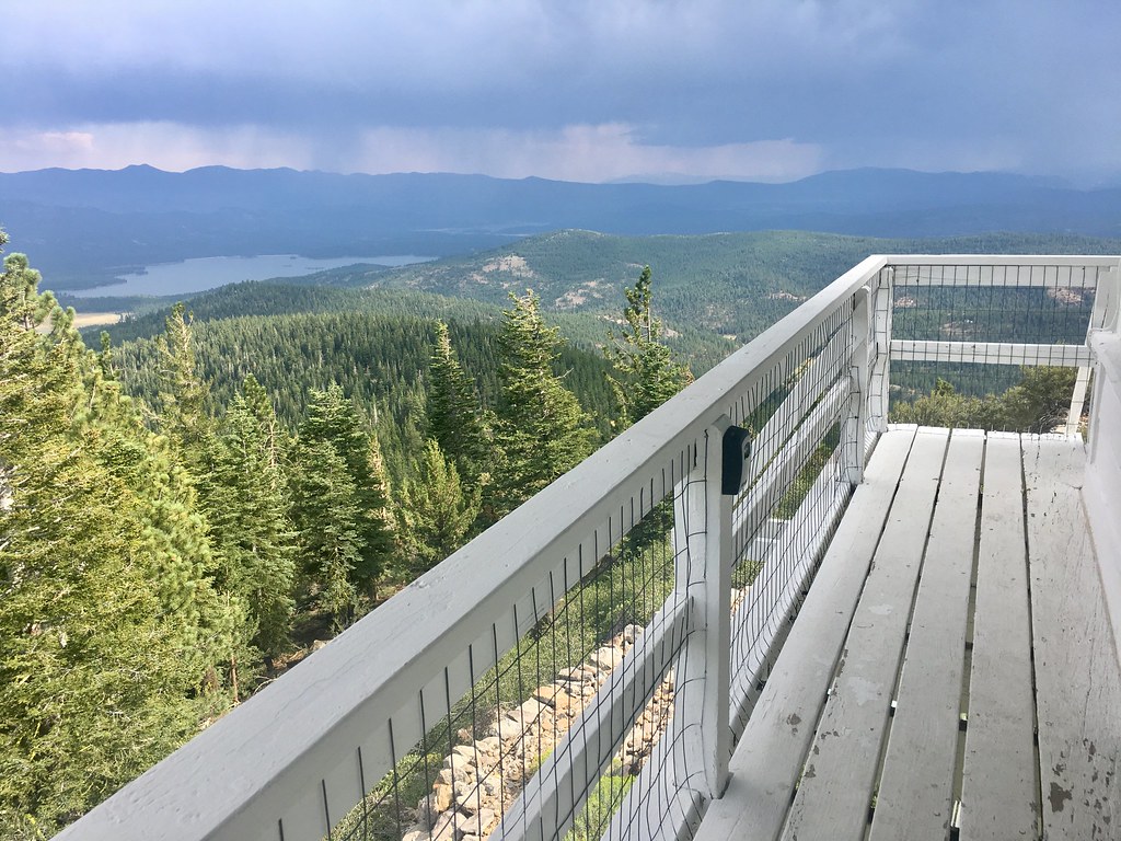
The lookout
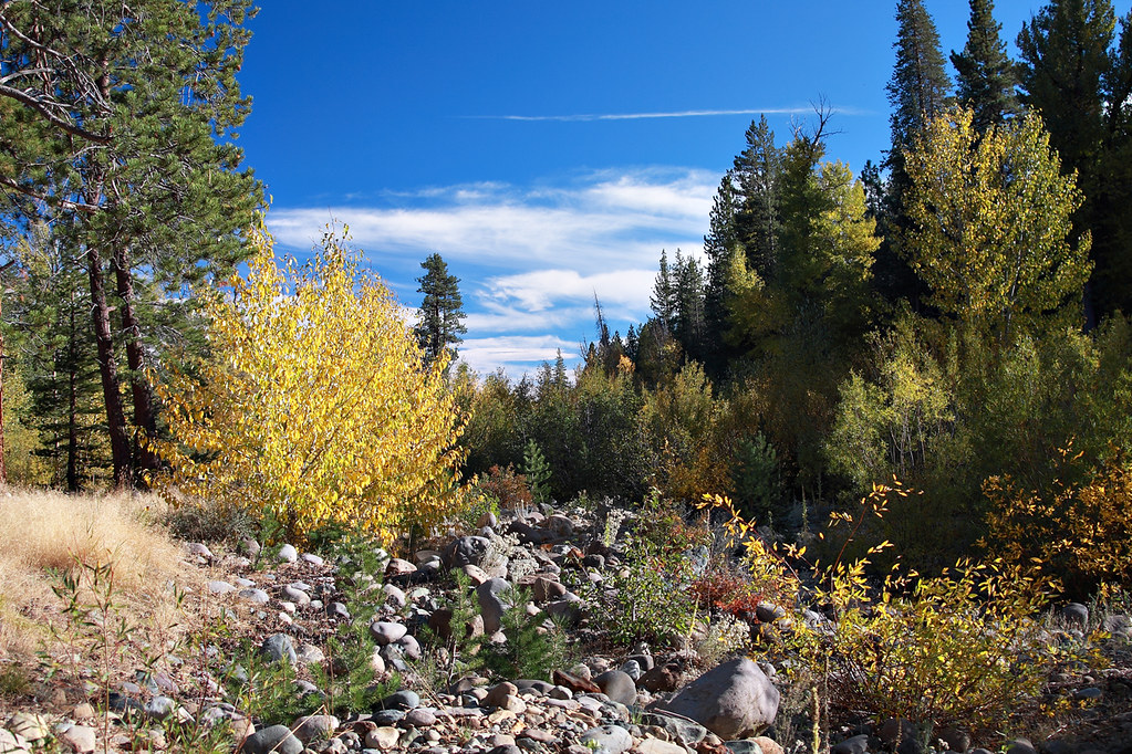
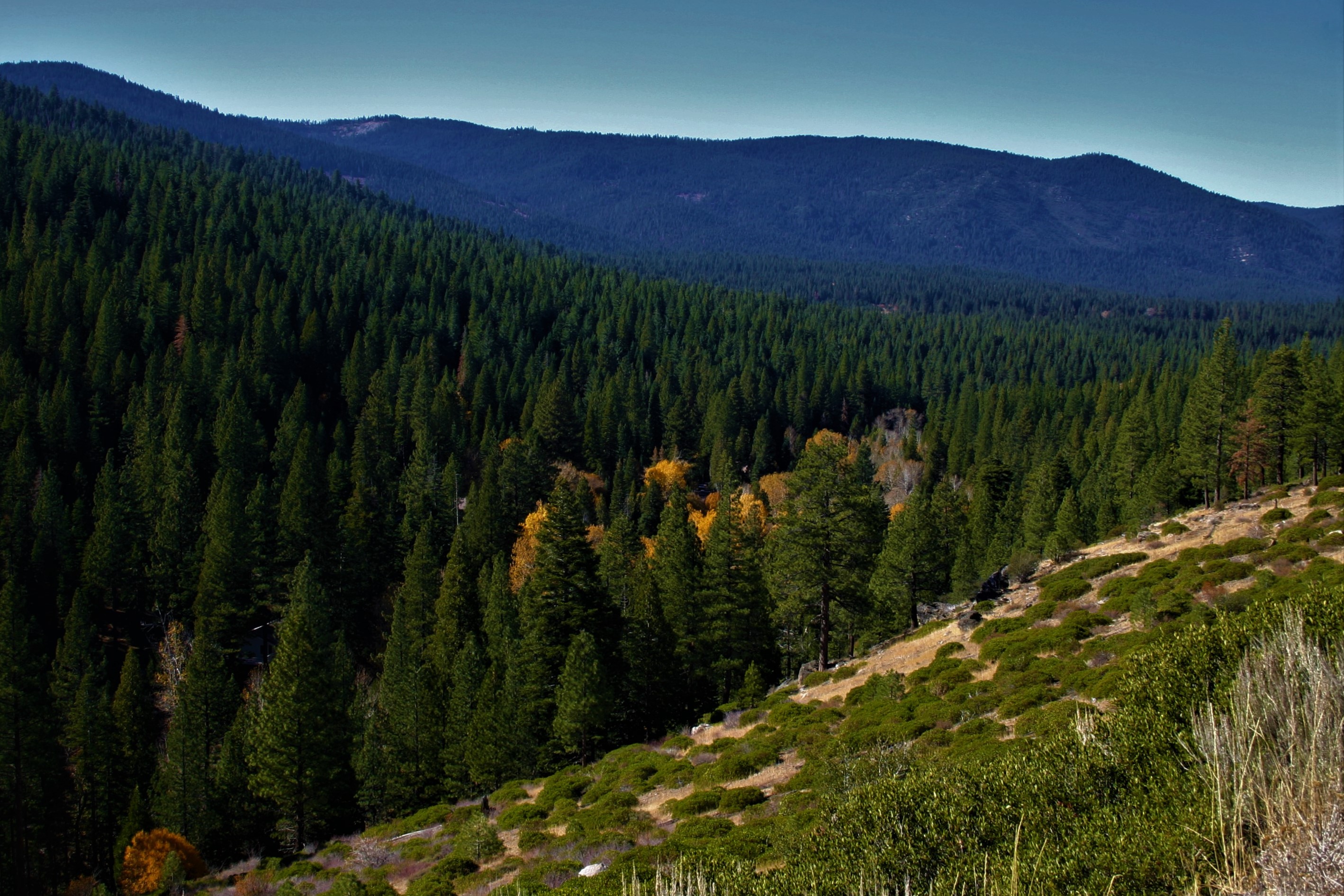
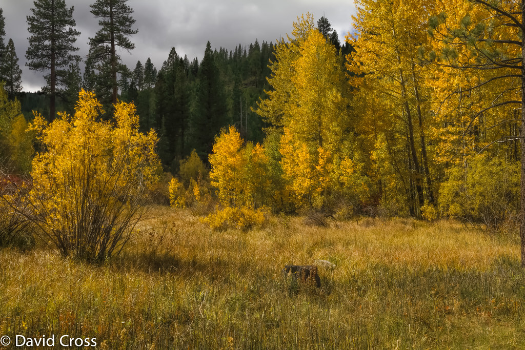
Fall In The Sierras 8618
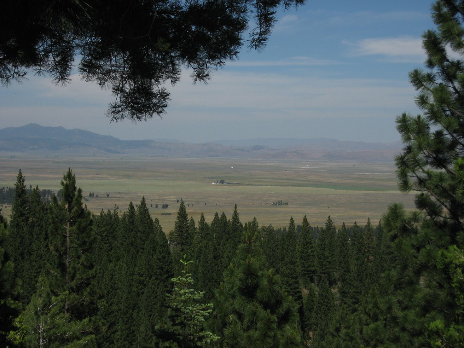
Views of the Sierra Valley from California State Route 49 Near Sierraville, California
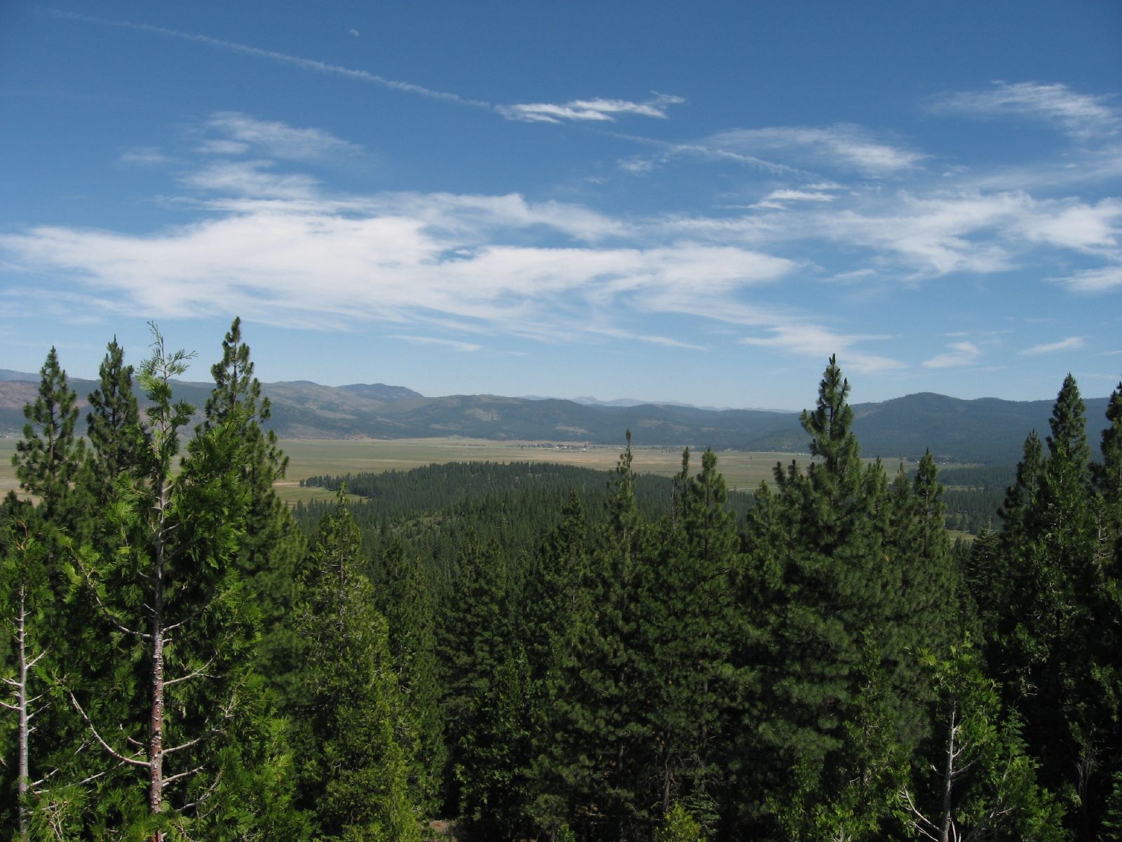
Views of the Sierra Valley from California State Route 49 Near Sierraville, California
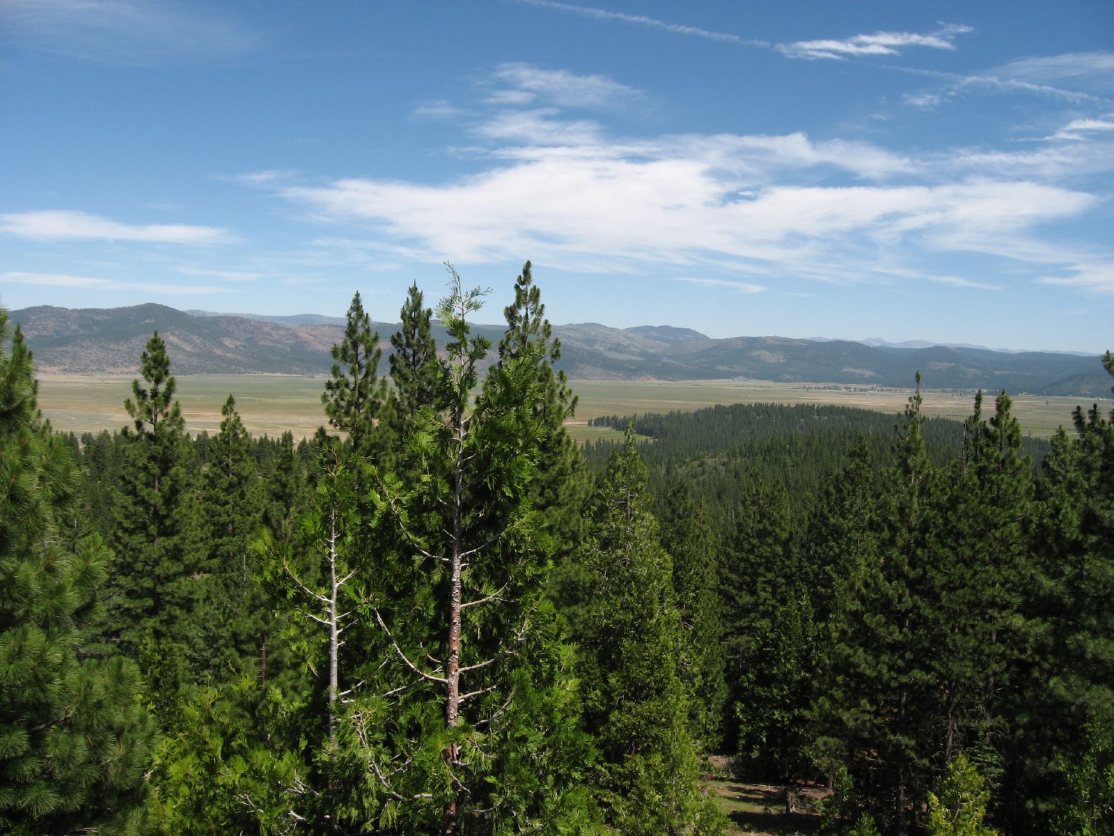
Views of the Sierra Valley from California State Route 49 Near Sierraville, California
view from Sierra Hot Springs
view, forest, Chapman's Saddle Road, Sierra Nevada, CA, 1996_07_20 001.jpg
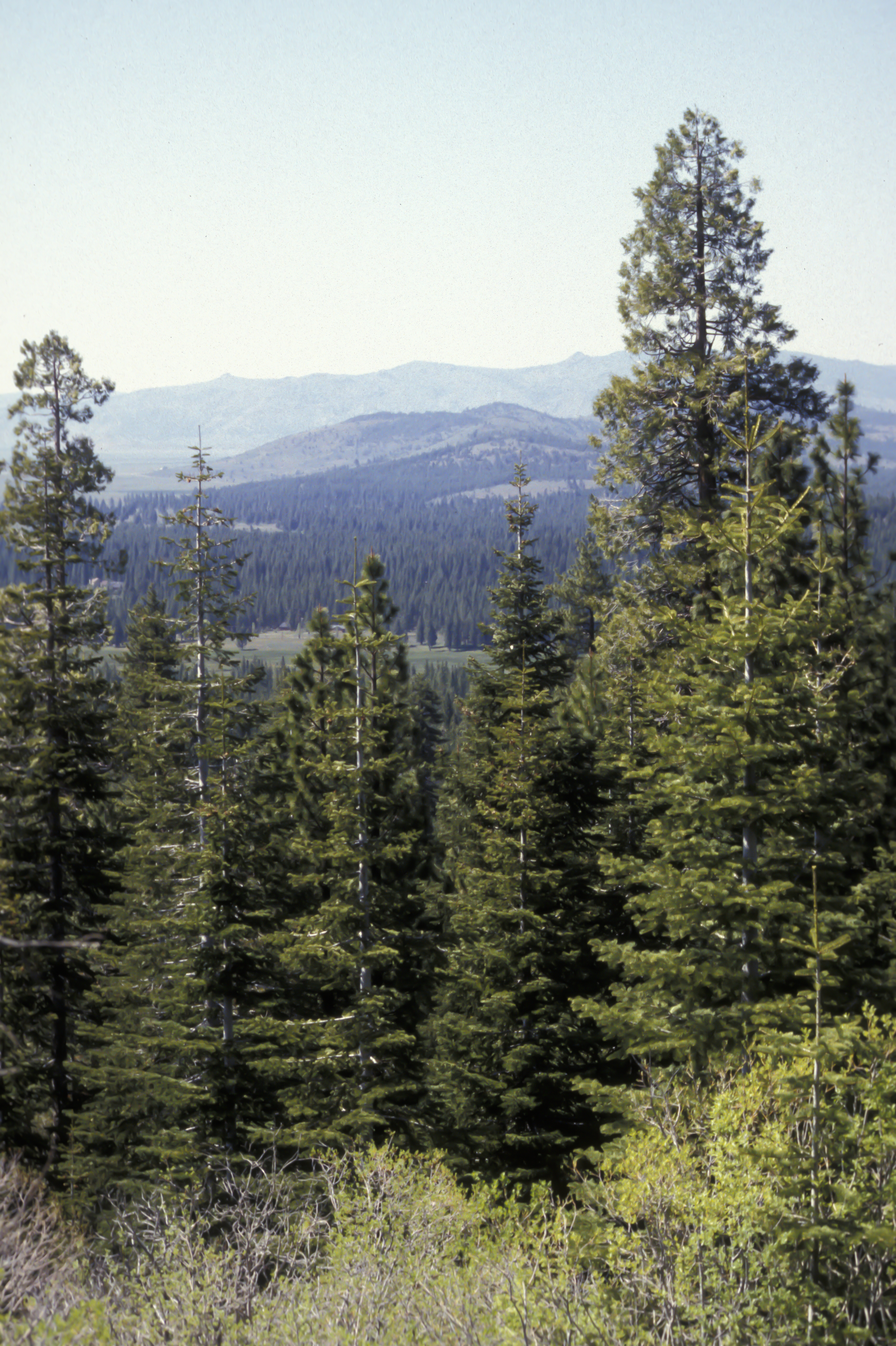
view of Sierra Valley, near Sierraville, CA, 2011-06-10 (2 of 2).jpg

Snow flower
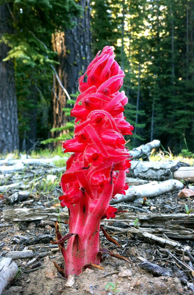
Snow flower
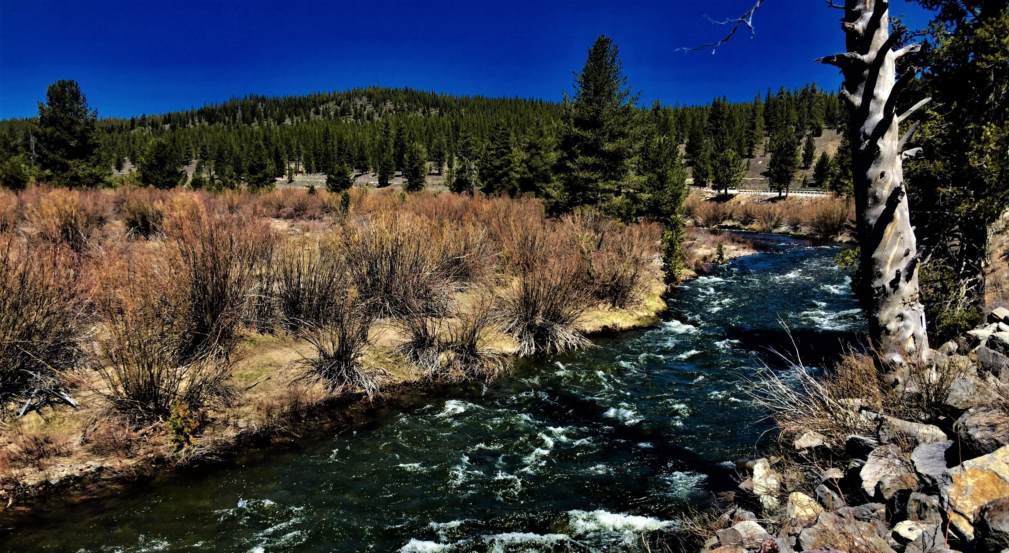
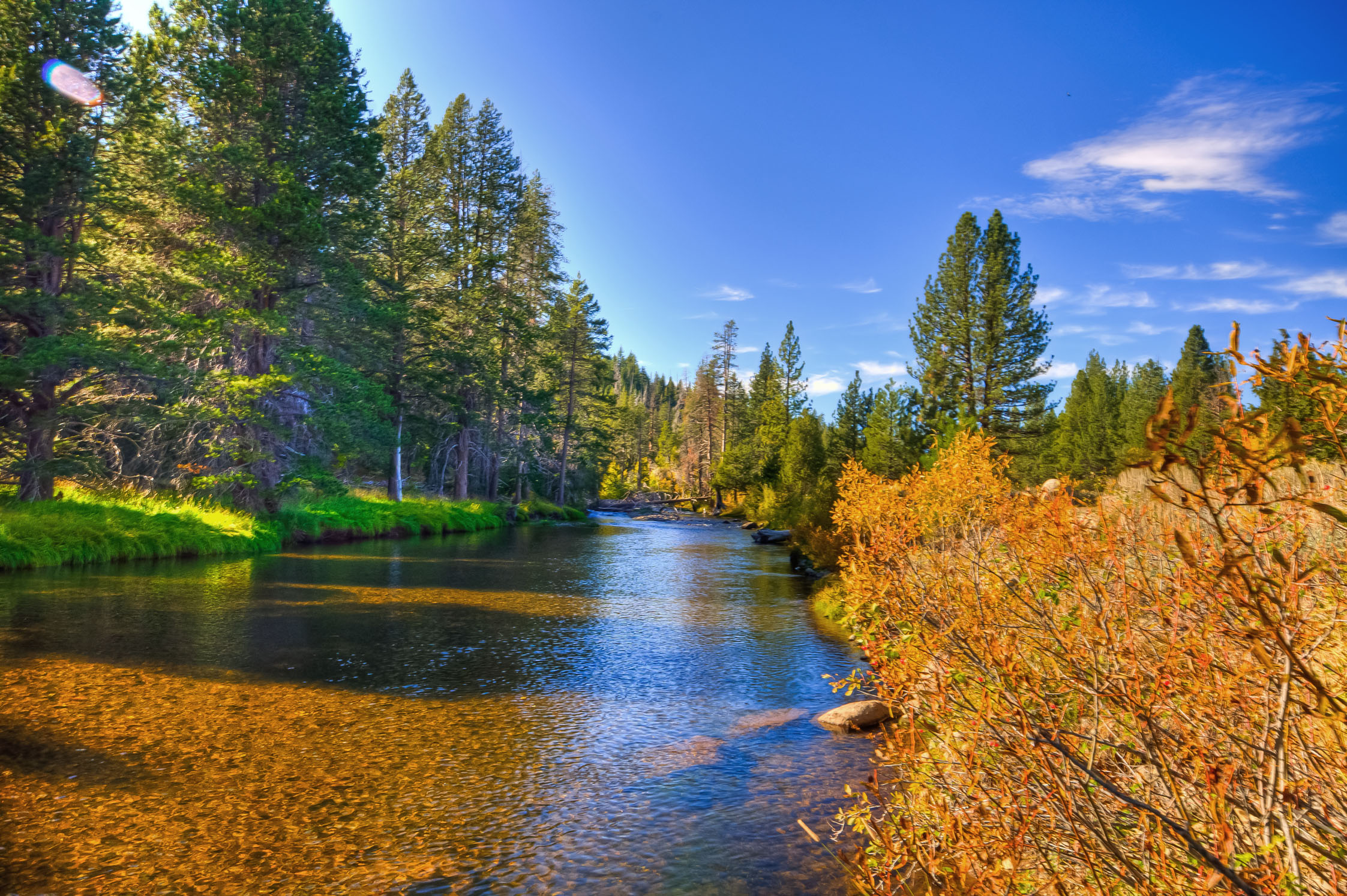
North Fork of the Truckee
High Country Meadow

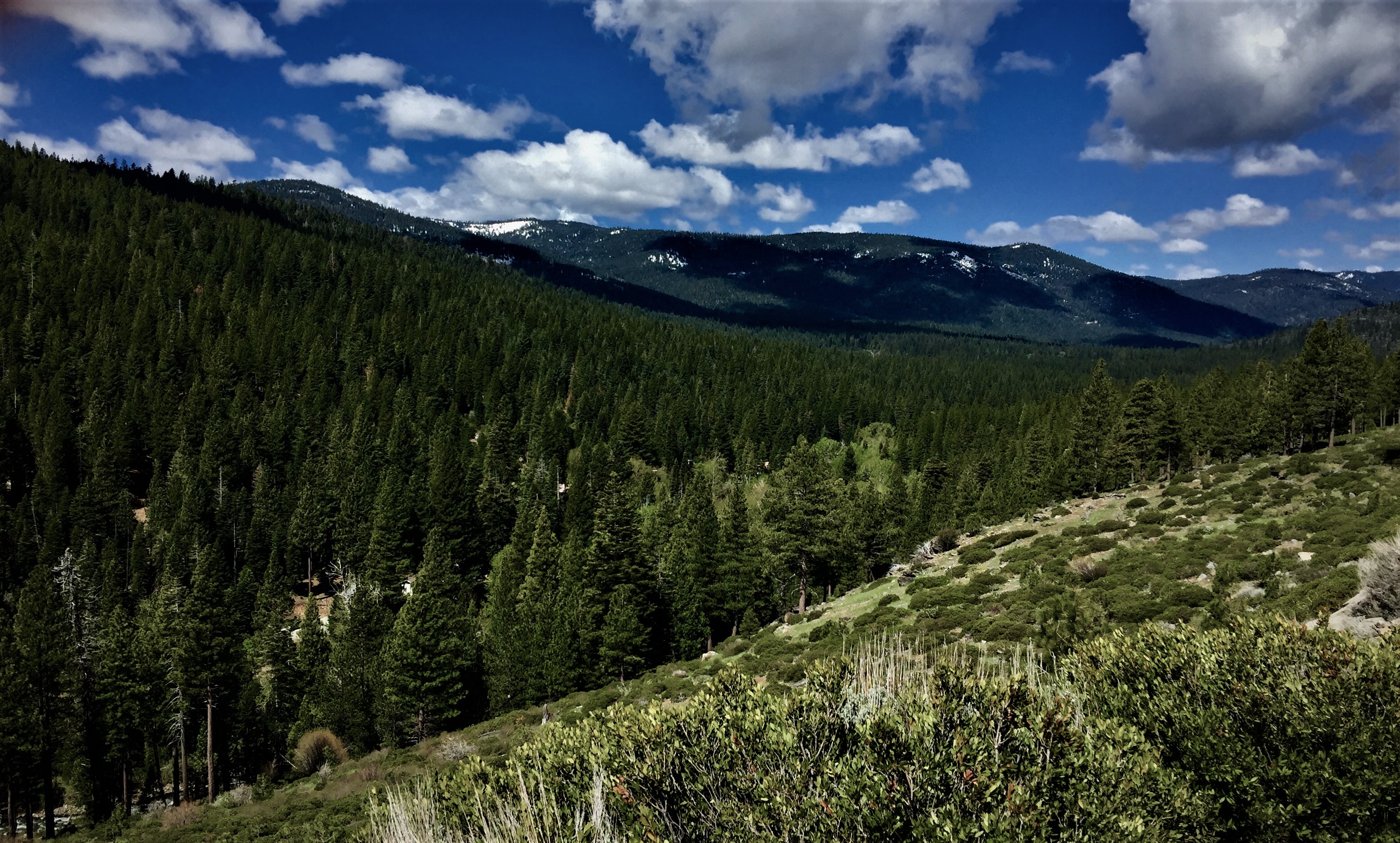
Autumn Color of the Northern Sierra Nevada Mountains
Dark Forests
The Old Barn

Webber Lake-7
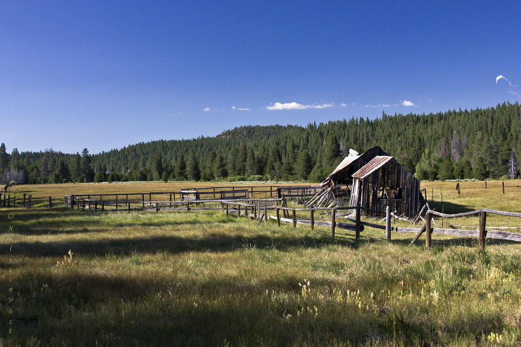
Falling Apart
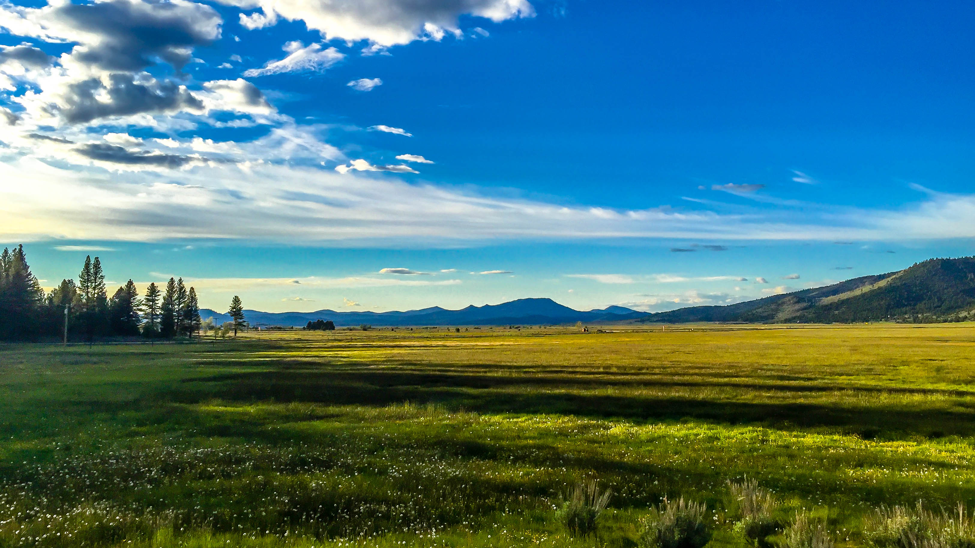
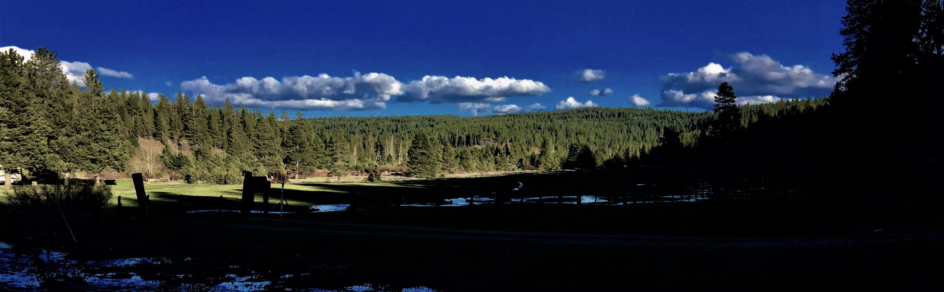
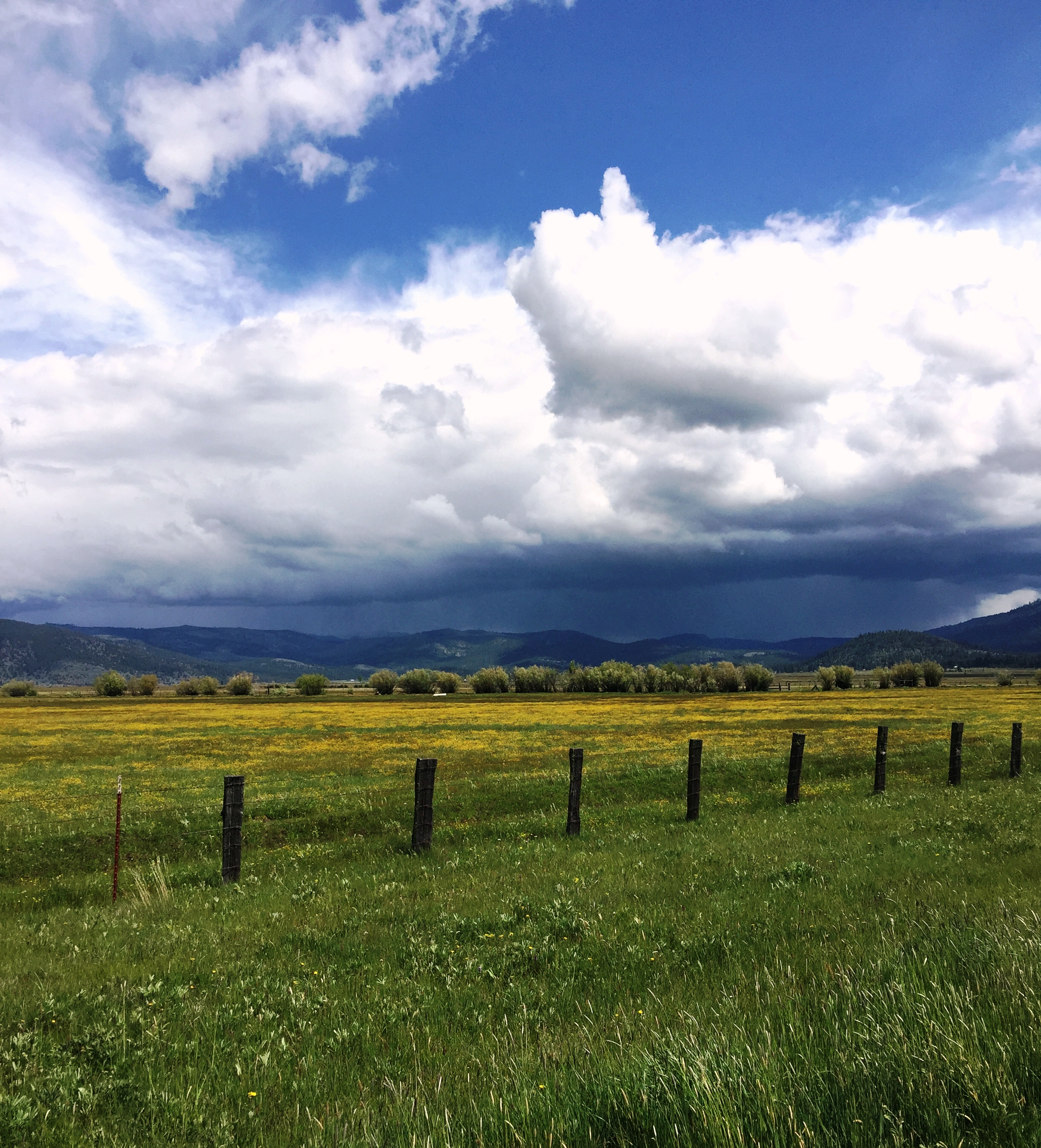
Sierraville Valley
Storms in the High Country
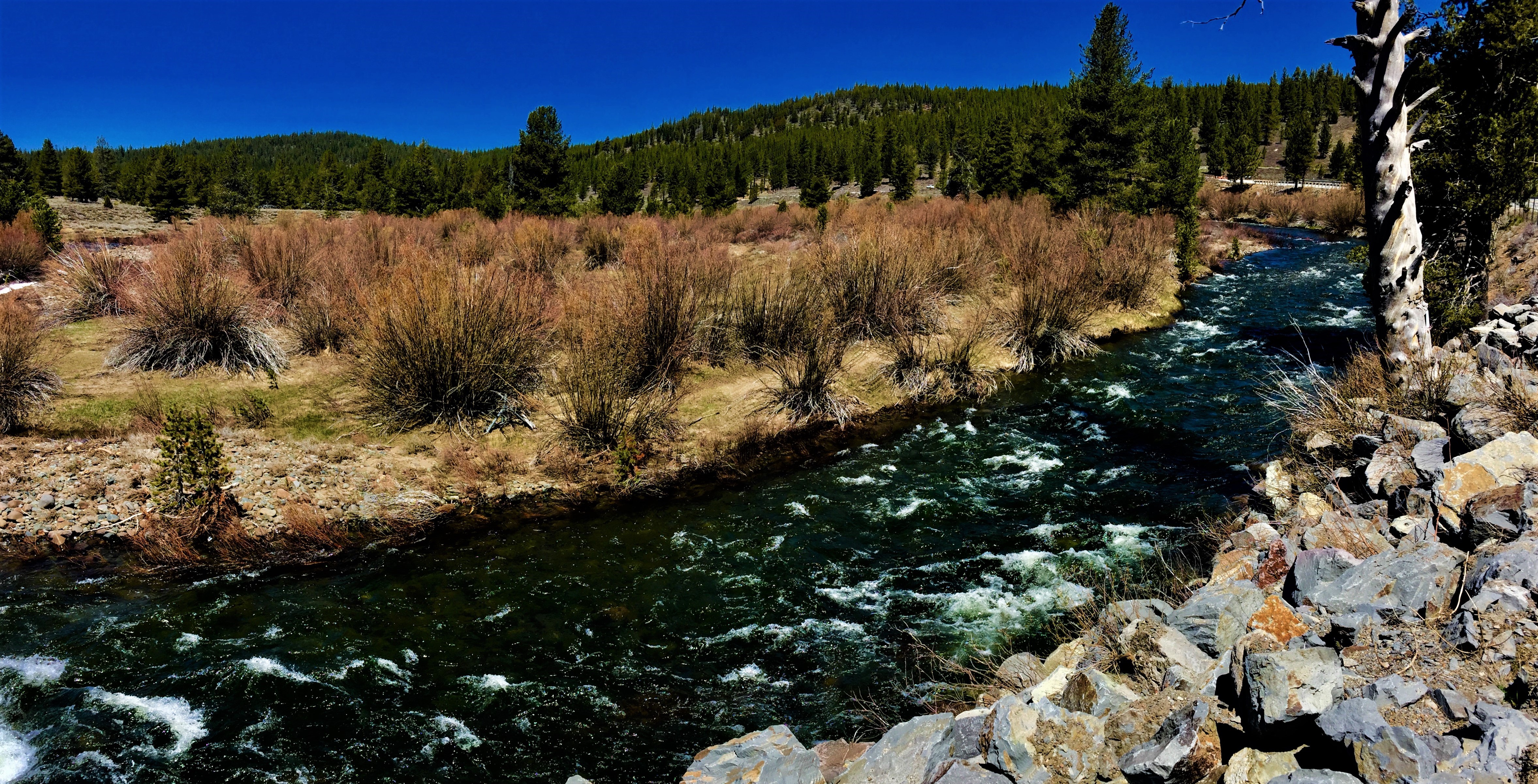
Little Truckee River @ Hwy 89
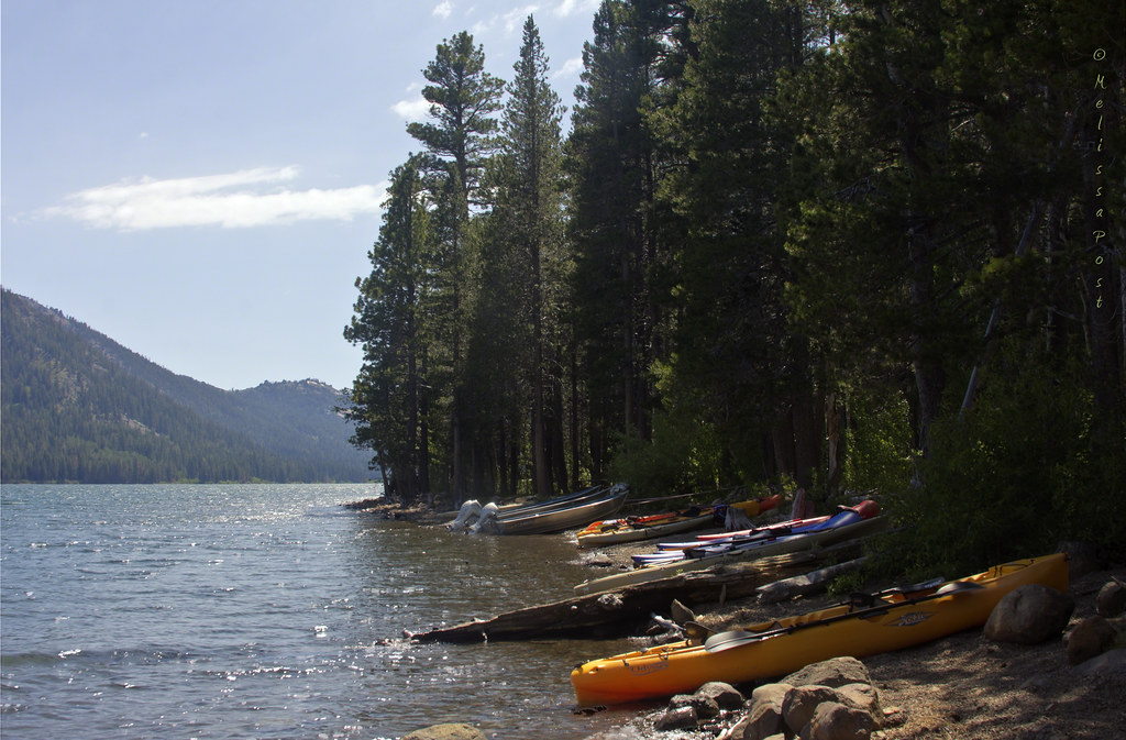
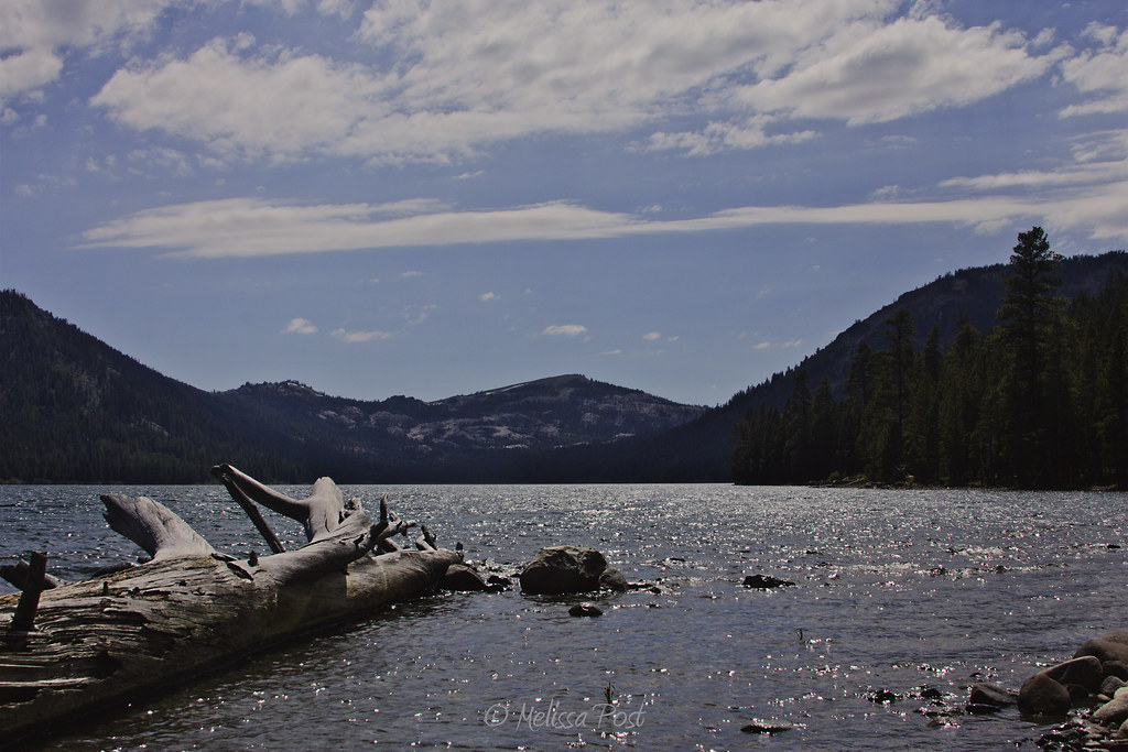
Independence Lake
Headwaters of the Truckee
Springtime in the Sierras
Independence Lake and Mt. Lola
Autumn Color Near Cold Creek

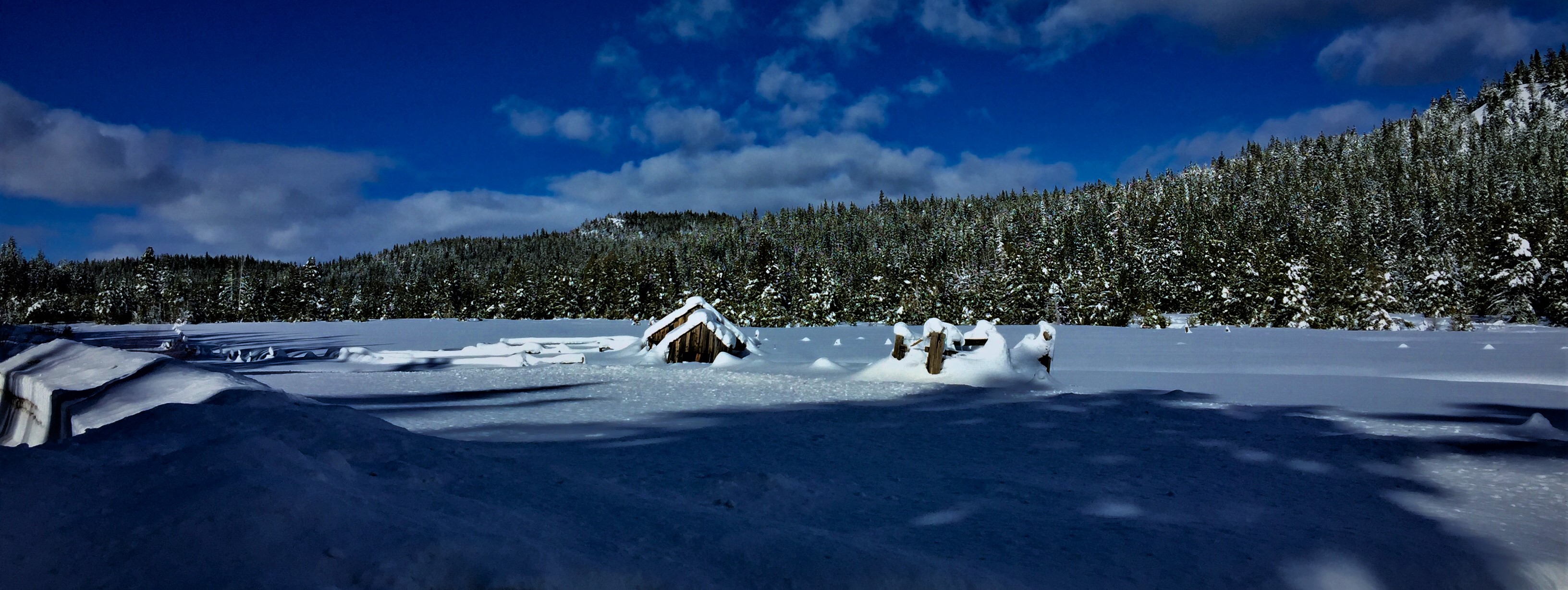
Ski day
North Fork of the Truckee River.......... Explored May2

Lazuli Bunting CY9C1981.jpg

10-6-12

Webber Falls_055
Topographic Map of Old Truckee Rd, Sierraville, CA, USA
Find elevation by address:

Places near Old Truckee Rd, Sierraville, CA, USA:
620 Old Truckee Rd
614 Old Truckee Rd
404 Old Truckee Rd
Campbell Hot Springs Rd, Sierraville, CA, USA
100 Ca-49
Sierraville
Main St, Alleghany, CA, USA
Sierra County
21040 Ca-89
220 Meadow Ranch Rd
Calpine
207 Front St
Loyalton
19 Haskell Creek Rd, Calpine, CA, USA
Haskell Peak
Sierra Nevada Field Campus
14 Carvin Creek Rd, Calpine, CA, USA
One Horse Way
Quail View Cir, Clio, CA, USA
Whitehawk
Recent Searches:
- Elevation of Slanický ostrov, 01 Námestovo, Slovakia
- Elevation of Spaceport America, Co Rd A, Truth or Consequences, NM, USA
- Elevation of Warwick, RI, USA
- Elevation of Fern Rd, Whitmore, CA, USA
- Elevation of 62 Abbey St, Marshfield, MA, USA
- Elevation of Fernwood, Bradenton, FL, USA
- Elevation of Felindre, Swansea SA5 7LU, UK
- Elevation of Leyte Industrial Development Estate, Isabel, Leyte, Philippines
- Elevation of W Granada St, Tampa, FL, USA
- Elevation of Pykes Down, Ivybridge PL21 0BY, UK