Elevation of Old Truckee Rd, Sierraville, CA, USA
Location: United States > California > Sierra County > Sierraville >
Longitude: -120.35555
Latitude: 39.560164
Elevation: 1573m / 5161feet
Barometric Pressure: 84KPa
Elevation Map:
Satellite Map:
Related Photos:
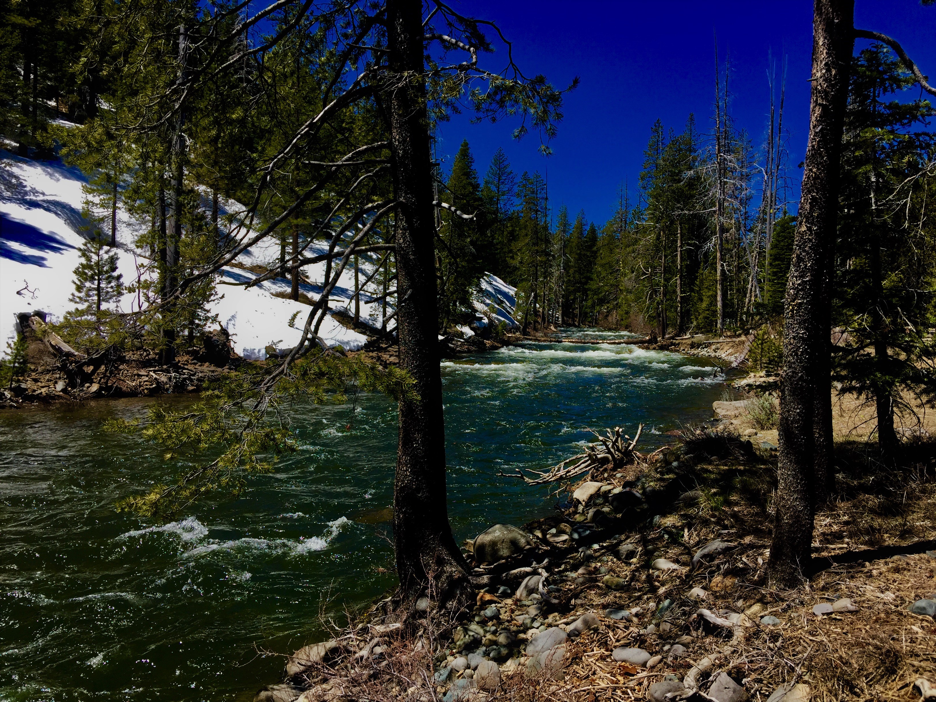
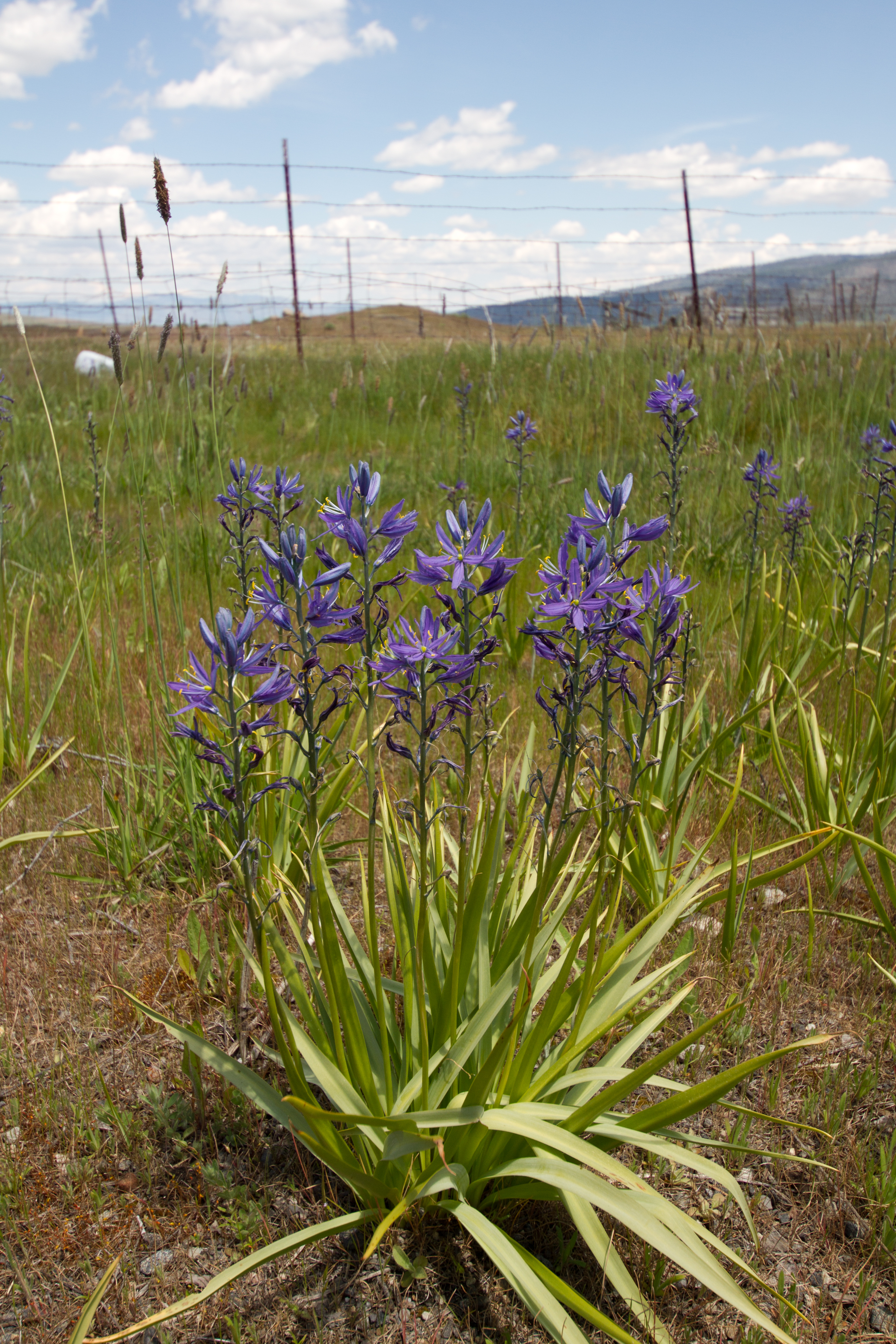
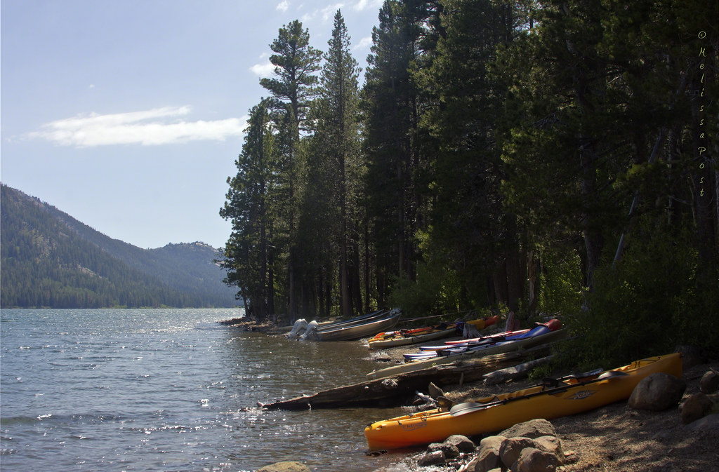
Great Trout Water
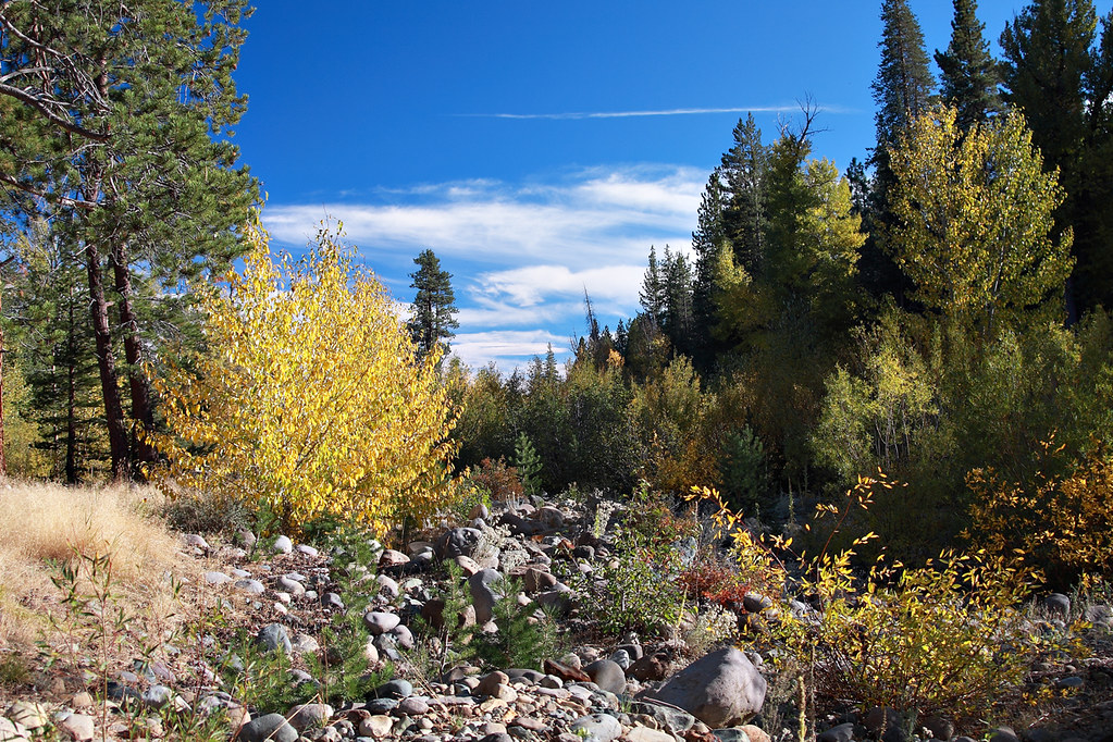
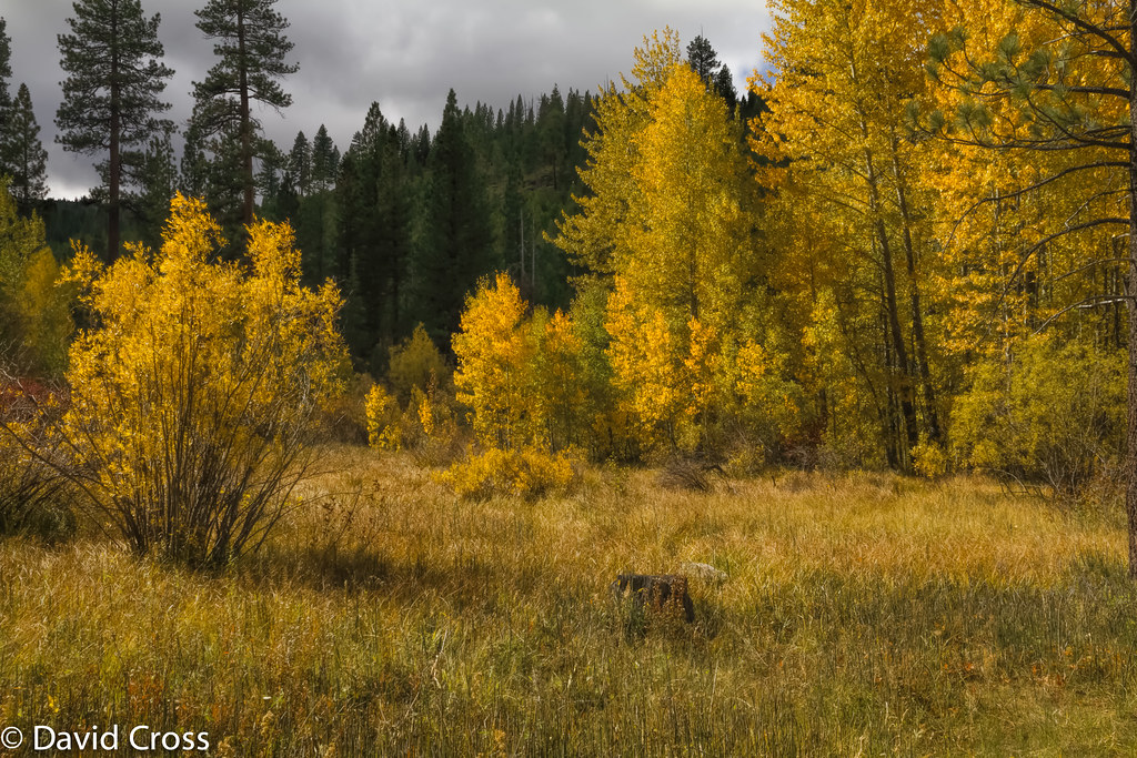
Fall In The Sierras 8618

Mountain Bluebird Juvenile - Multiple Views
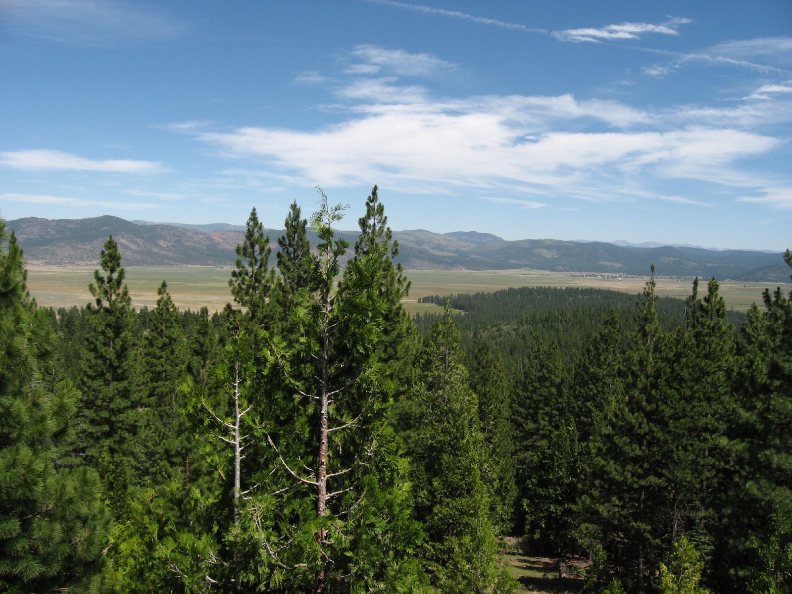
view of Sierra Valley, near Sierraville, CA, 2011-06-10 (1 of 2).jpg

Graves with a View
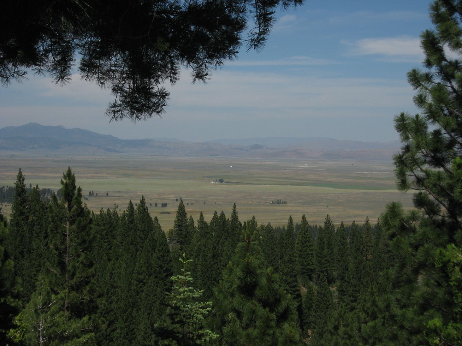
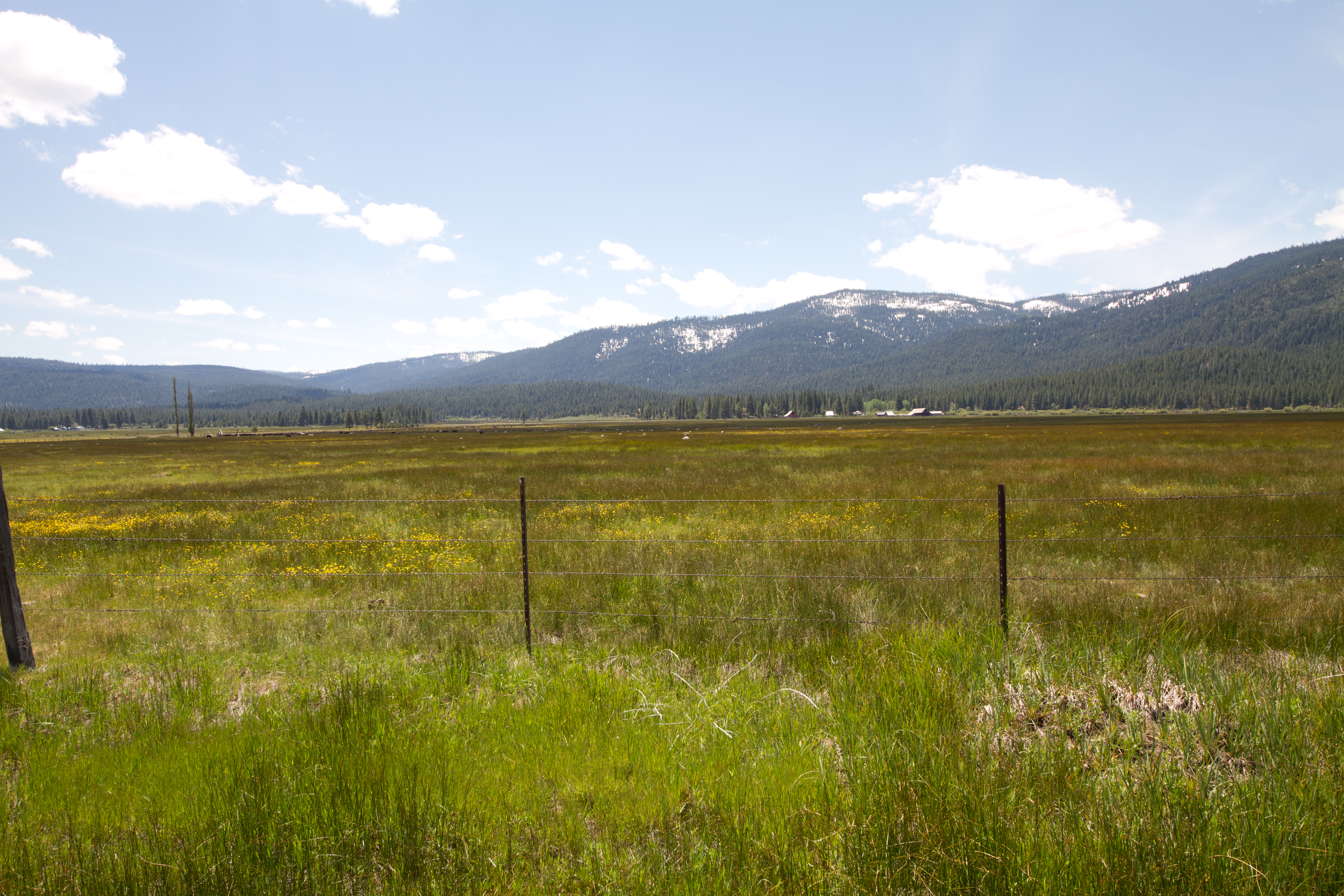
Views of the Sierra Valley from California State Route 49 Near Sierraville, California
front porch view
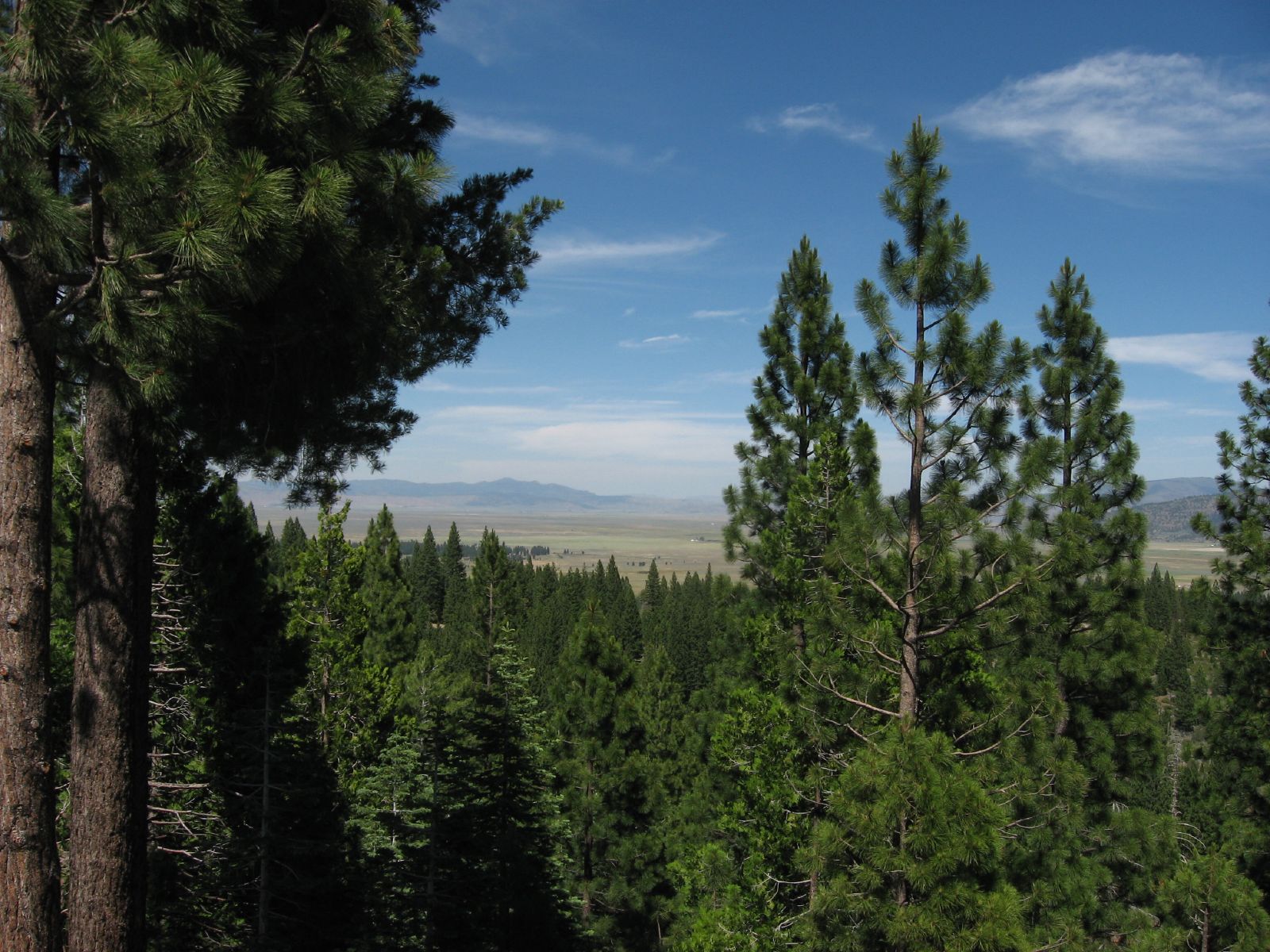
Views of the Sierra Valley from California State Route 49 Near Sierraville, California
view from Sierra Hot Springs
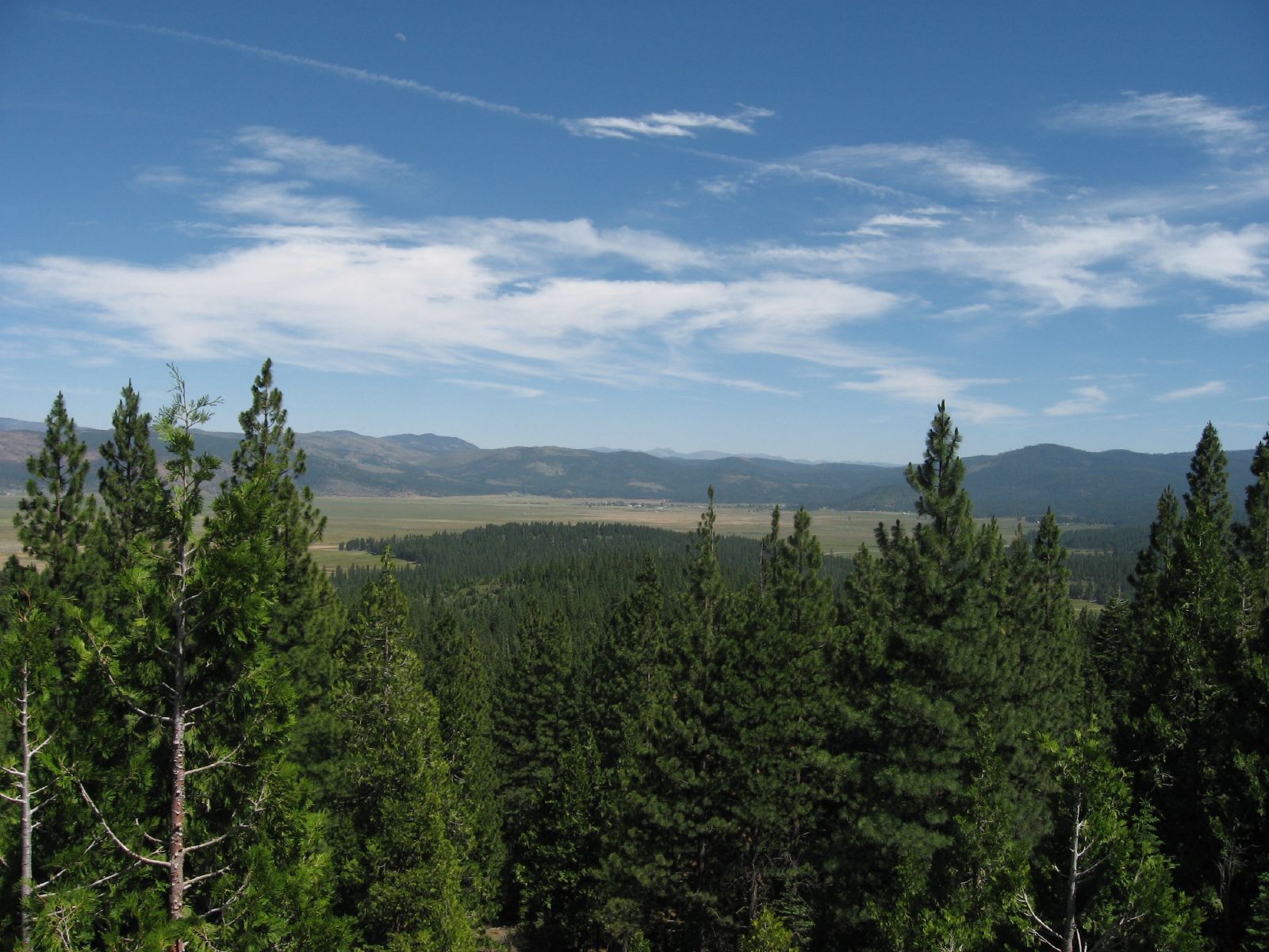
Views of the Sierra Valley from California State Route 49 Near Sierraville, California
Views of the Sierra Valley from California State Route 49 Near Sierraville, California

Female Blue
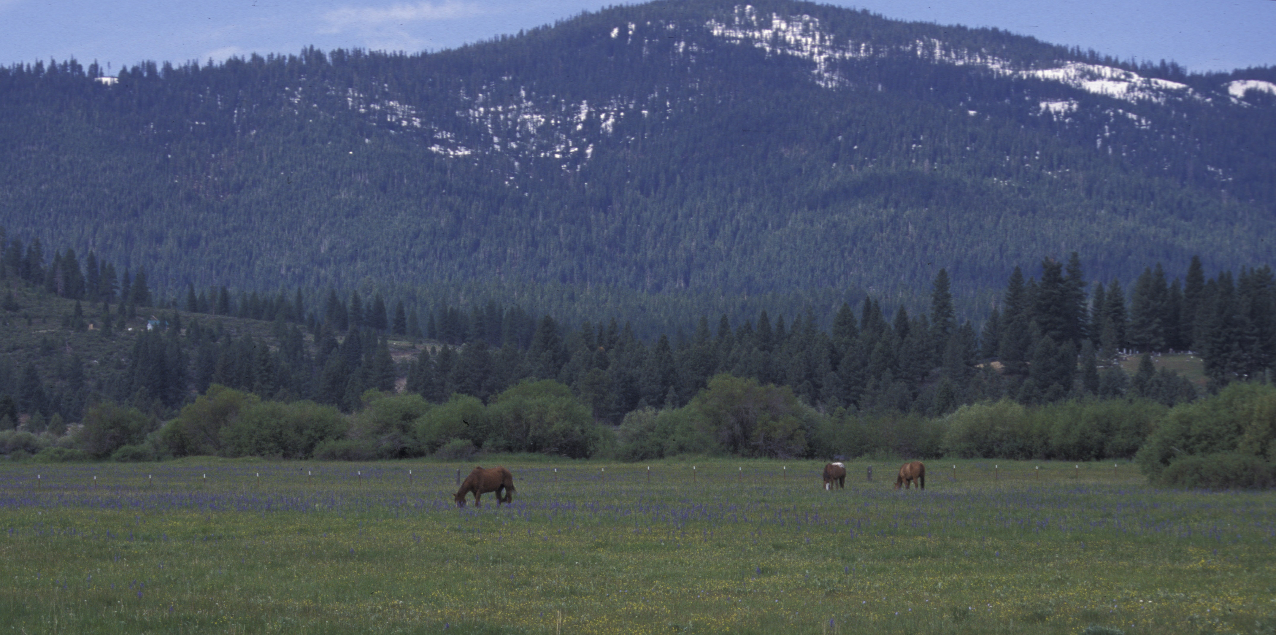
alpine meadow, horses, sierra valley, CA 1999_05_29.jpg
Views of the Sierra Valley from California State Route 49 Near Sierraville, California

PCTCA-L2North_20071124-152736
view of Sierra Valley, near Sierraville, CA, 2011-06-10 (2 of 2).jpg

Sex on a finger tip

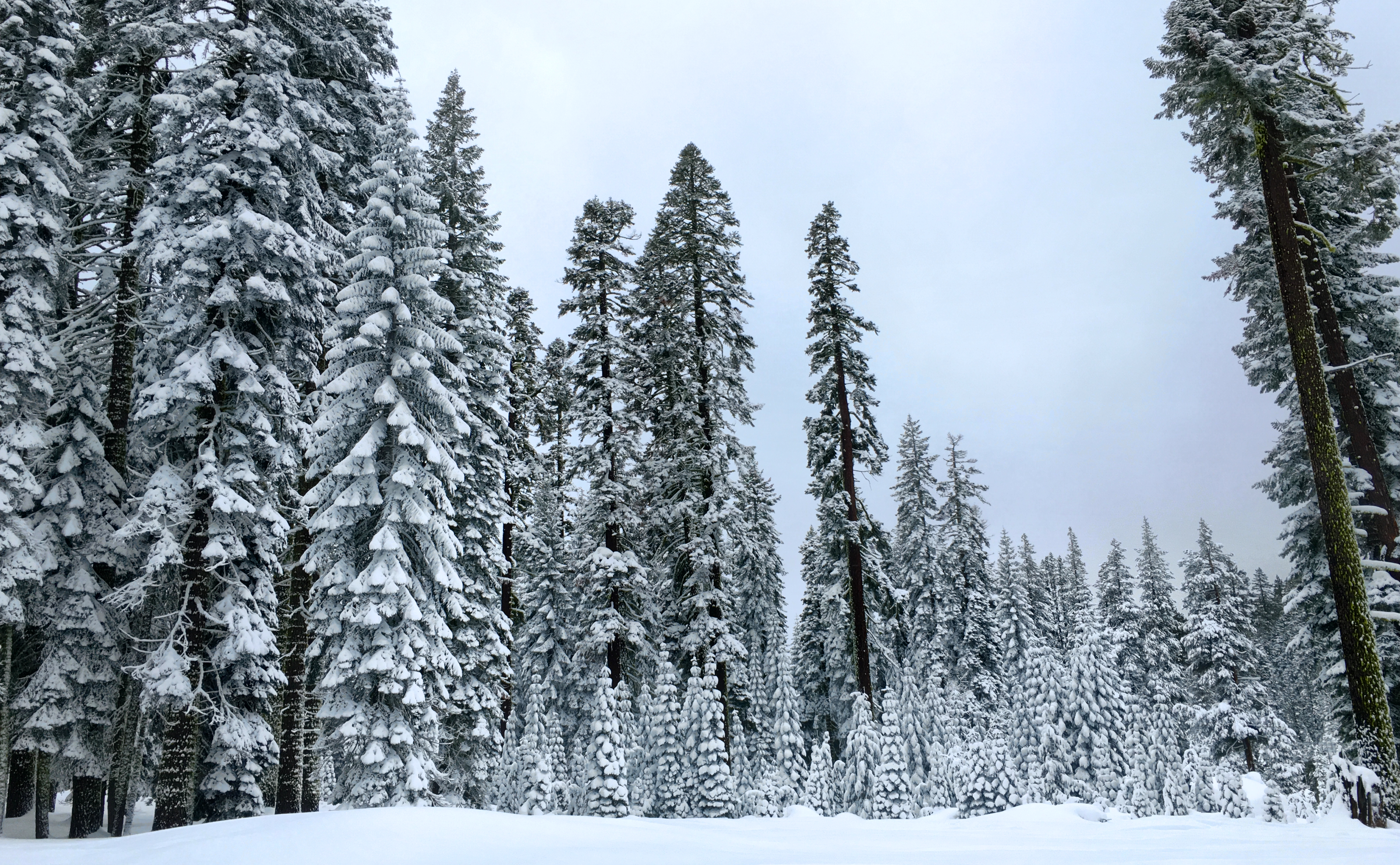
Snow flower
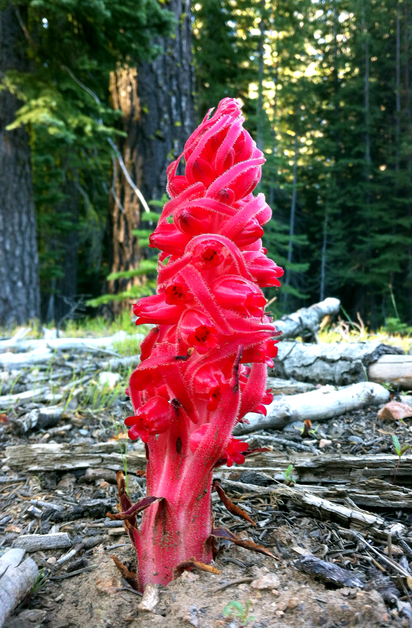
Snow flower
Hugh Dingle, Margaret and Pete Armstrong, Yuba Pass, CA 1997_05_24.jpg
view, forest, Chapman's Saddle Road, Sierra Nevada, CA, 1996_07_20 001.jpg
Falling Apart
Independence Lake
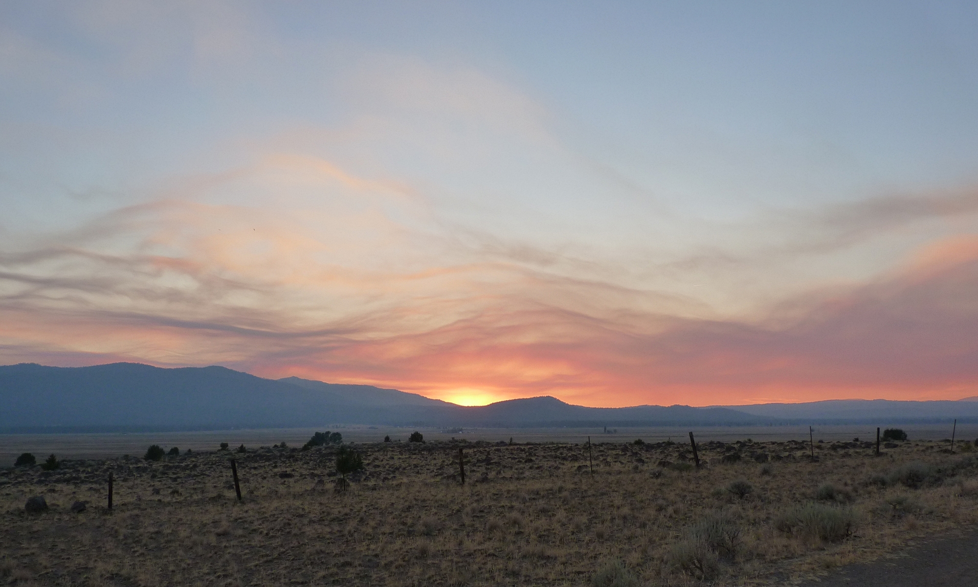
Smoky Sunset
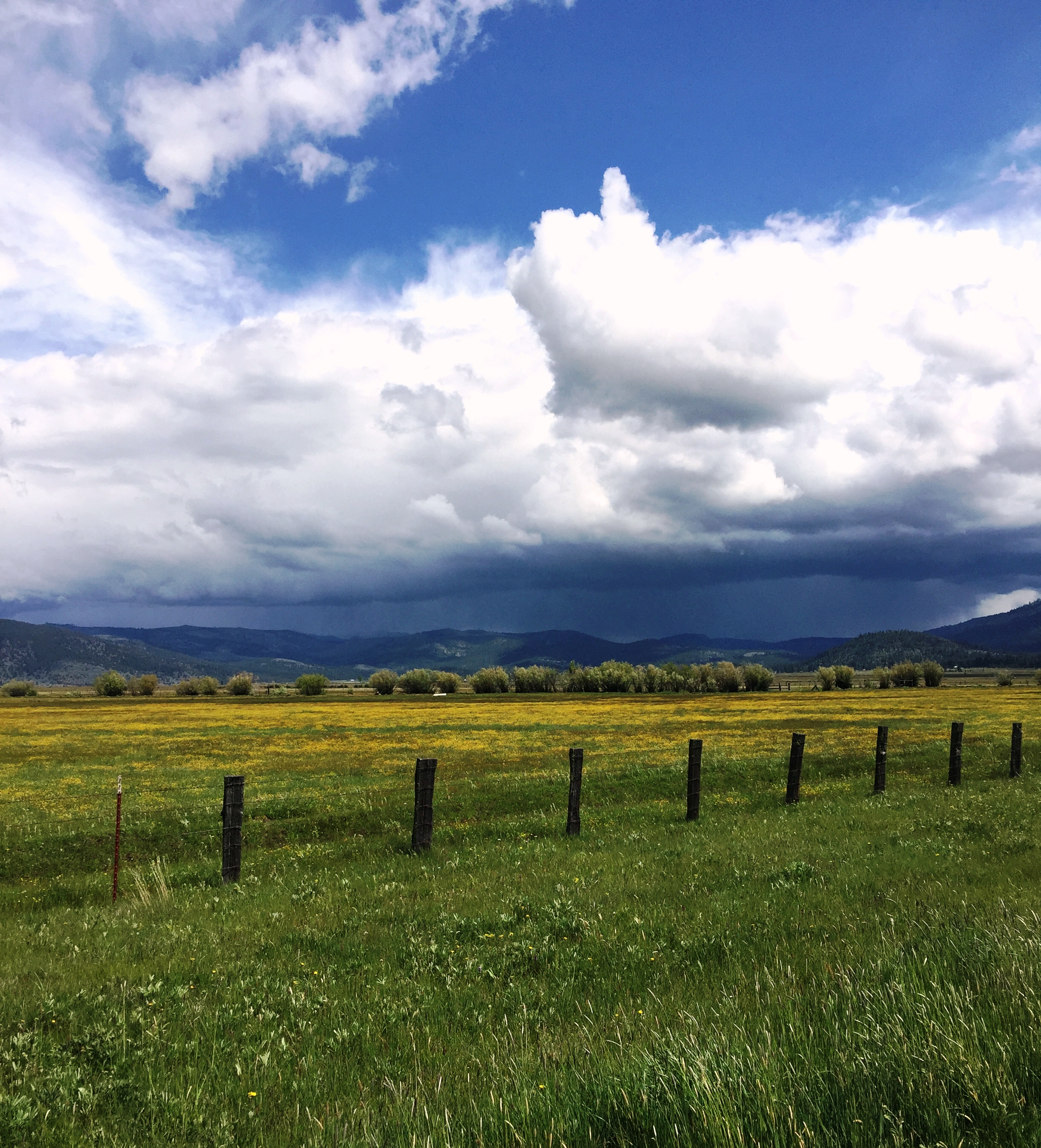
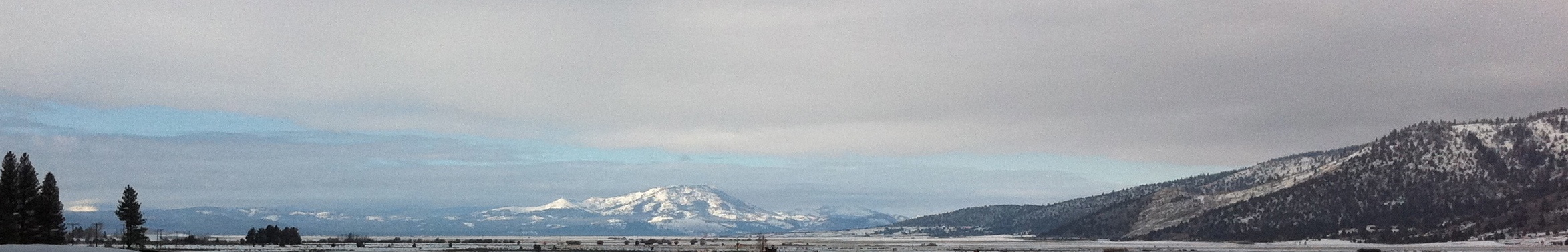
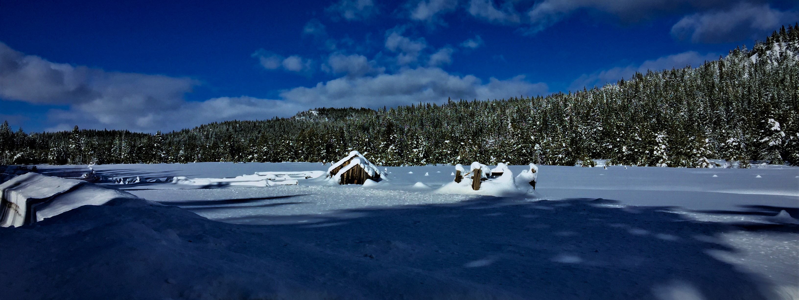
Storms in the High Country
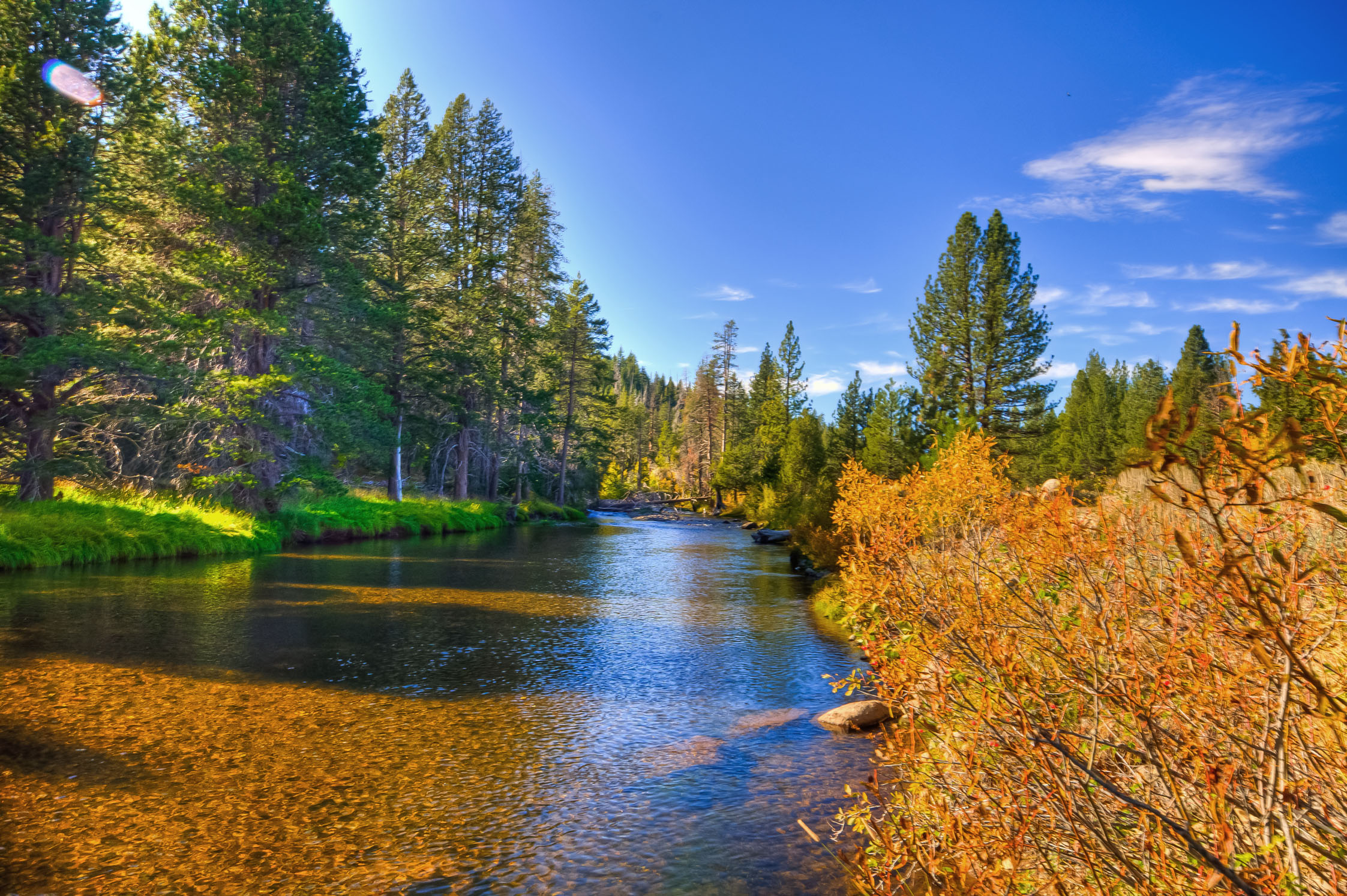
Little Truckee River @ Hwy 89
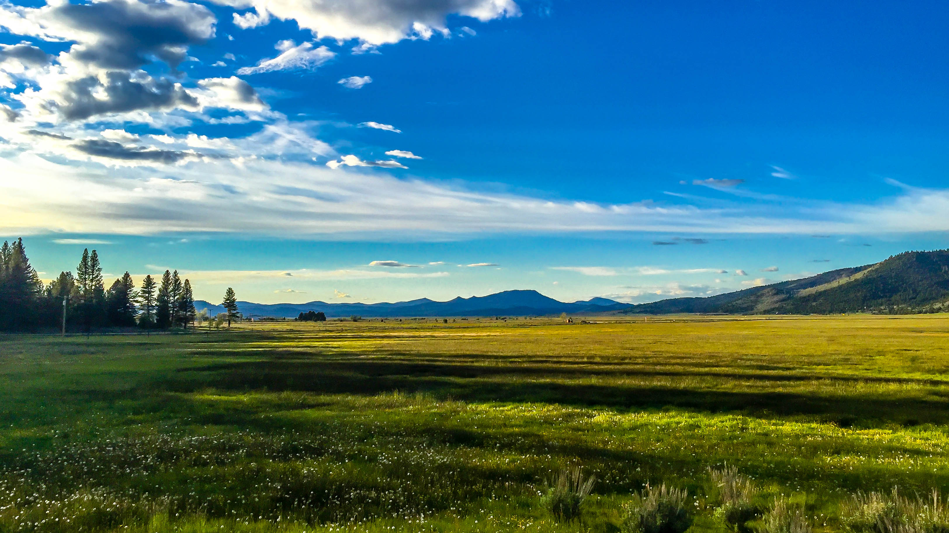
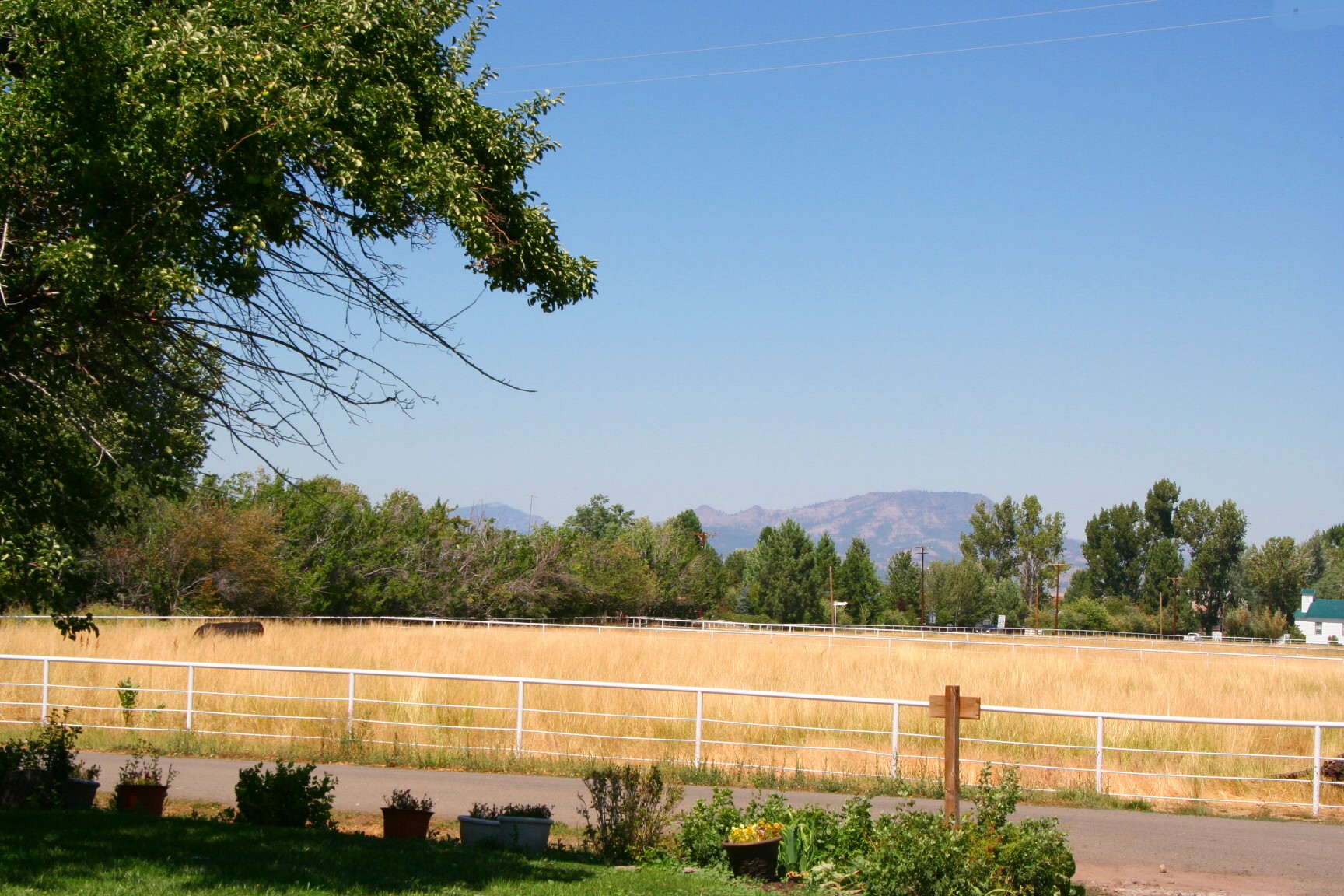
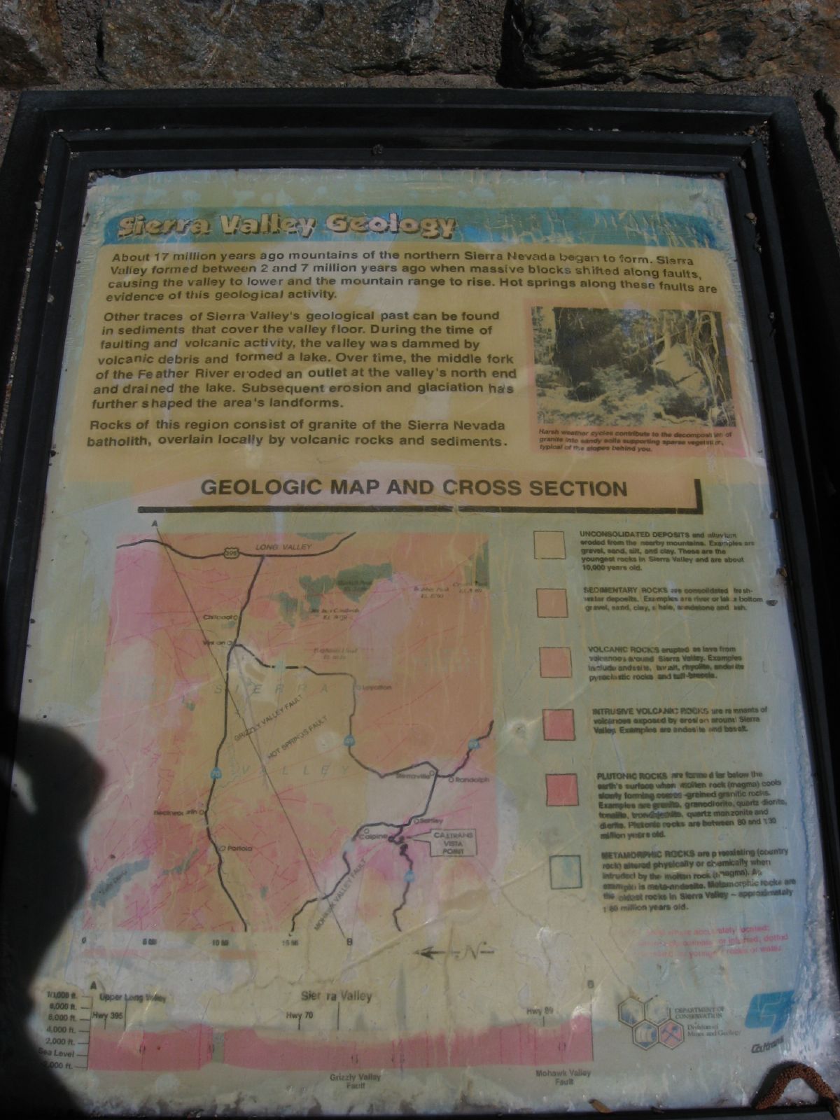
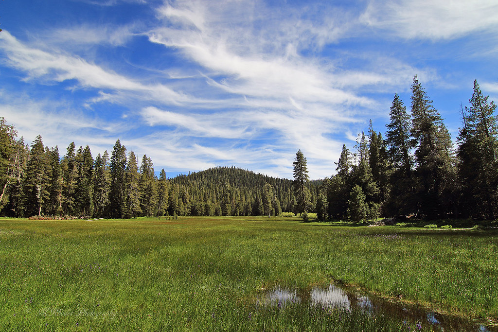
Sierraville Valley
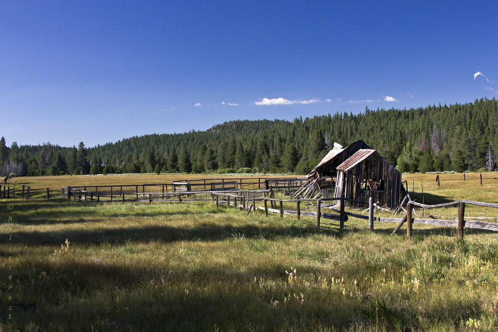
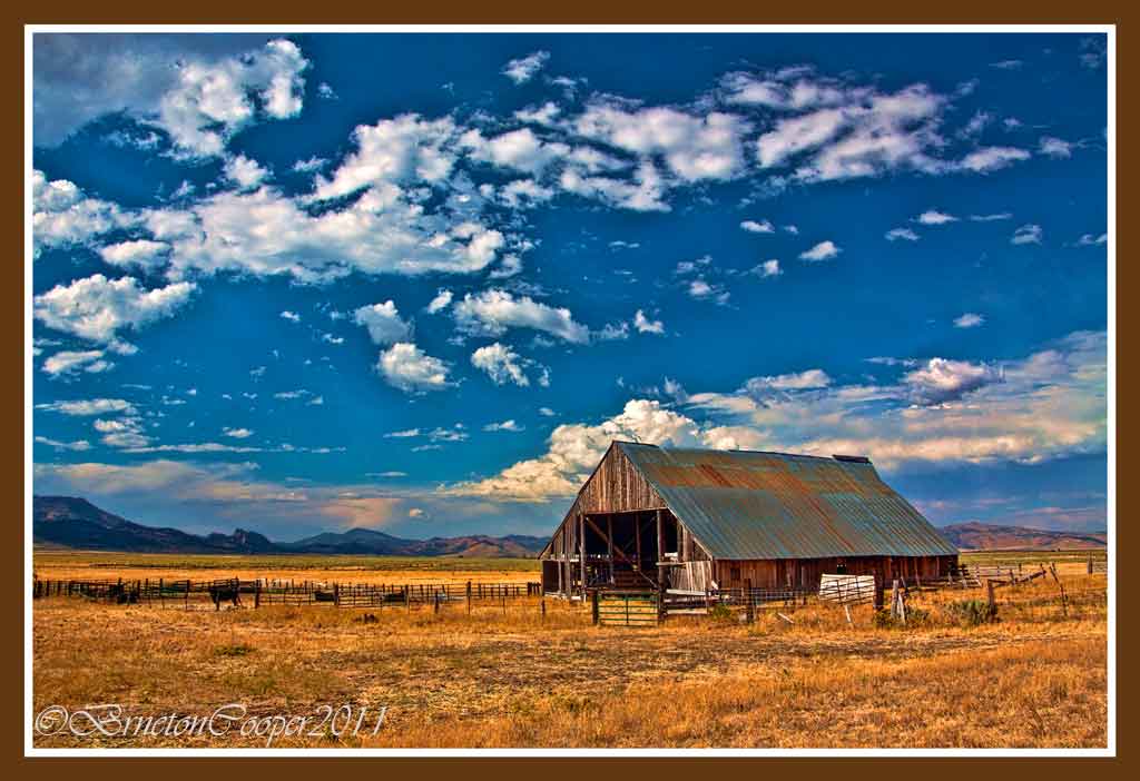
The Old Barn
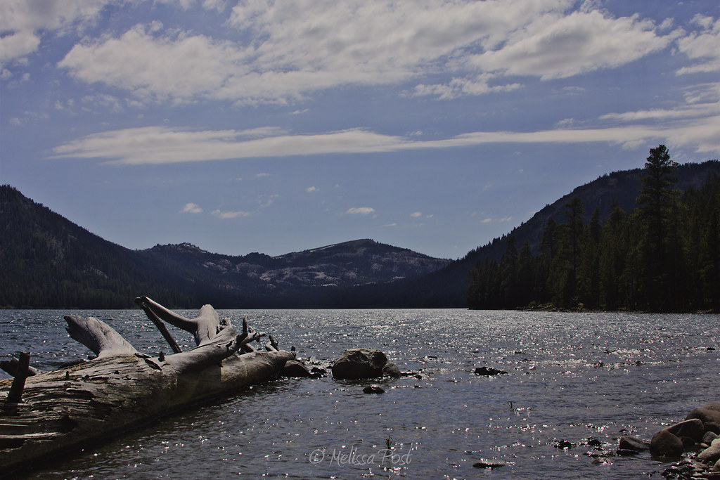
Independence Lake and Mt. Lola
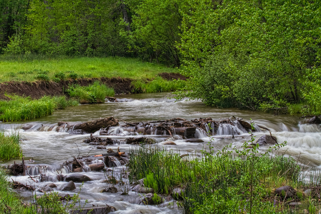
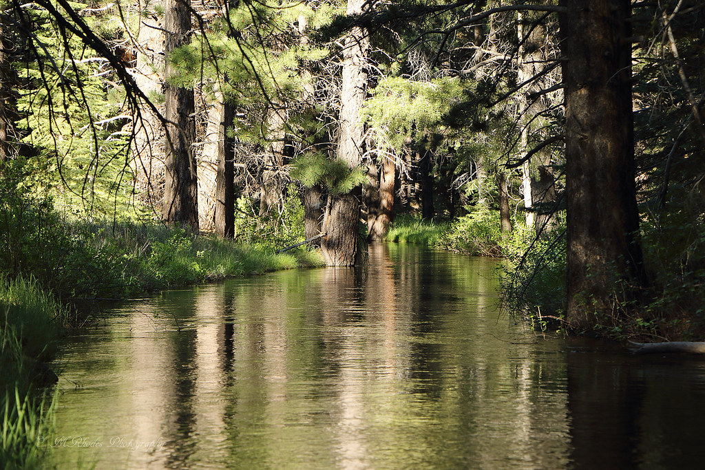
Cold Creek
Autumn Color Near Cold Creek

Lazuli Bunting CY9C1981.jpg

10-6-12
The Canal

Webber Falls_055
Henness Pass Road
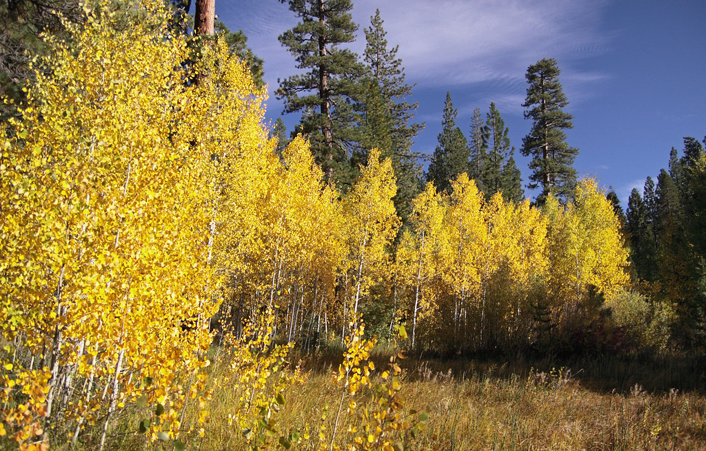
Young Aspen Grove In Full Color 4237
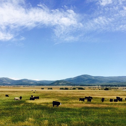
Sierraville, CA. #roadtrip #california #adventureyear2014 #traveling #mountains #clouds #cows
Sierra Valley Cattle Ranch
New knees hiking at Yuba Pass
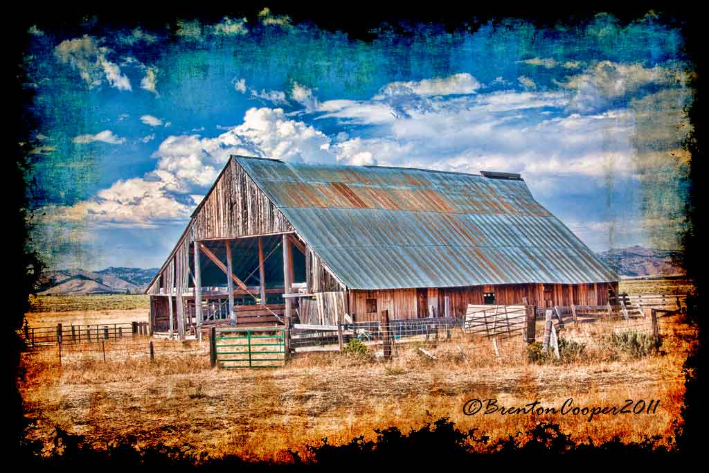
Sierra Valley Cattle Ranch Barn(HDR)
Topographic Map of Old Truckee Rd, Sierraville, CA, USA
Find elevation by address:

Places near Old Truckee Rd, Sierraville, CA, USA:
614 Old Truckee Rd
723 Old Truckee Rd
404 Old Truckee Rd
Campbell Hot Springs Rd, Sierraville, CA, USA
100 Ca-49
Sierraville
Main St, Alleghany, CA, USA
Sierra County
21040 Ca-89
220 Meadow Ranch Rd
Calpine
207 Front St
Loyalton
19 Haskell Creek Rd, Calpine, CA, USA
Haskell Peak
Sierra Nevada Field Campus
14 Carvin Creek Rd, Calpine, CA, USA
One Horse Way
Quail View Cir, Clio, CA, USA
Whitehawk
Recent Searches:
- Elevation of Kreuzburger Weg 13, Düsseldorf, Germany
- Elevation of Gateway Blvd SE, Canton, OH, USA
- Elevation of East W.T. Harris Boulevard, E W.T. Harris Blvd, Charlotte, NC, USA
- Elevation of West Sugar Creek, Charlotte, NC, USA
- Elevation of Wayland, NY, USA
- Elevation of Steadfast Ct, Daphne, AL, USA
- Elevation of Lagasgasan, X+CQH, Tiaong, Quezon, Philippines
- Elevation of Rojo Ct, Atascadero, CA, USA
- Elevation of Flagstaff Drive, Flagstaff Dr, North Carolina, USA
- Elevation of Avery Ln, Lakeland, FL, USA