Elevation of Old State Rd 64, Winslow, IN, USA

Location: United States > Indiana > Pike County > Lockhart Township >

Longitude: -87.166809

Latitude: 38.302293

Elevation: 176m / 577feet

Barometric Pressure: 99KPa

Elevation Map:

elevation map of Old State Rd 64, Winslow, IN, USA

Satellite Map:

Satellite map of Old State Rd 64, Winslow, IN, USA

Related Photos:

girls people woman usa signs man color men history boys kids buildings walking advertising children awning clothing cafe women crowd hats restaurants indiana streetscene transportation drugs shops pedestrians hotels storefronts buggy clocks buggies businesses wagons oaklandcity jeweler gibsoncounty hoosierrecollections
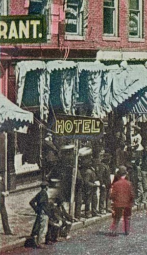
Saturday in Oakland City, Indiana, close-up section 1
girls people woman usa signs man color men history boys kids buildings walking advertising children awning clothing cafe women crowd hats restaurants indiana streetscene transportation drugs shops pedestrians hotels storefronts buggy clocks buggies businesses wagons oaklandcity jeweler gibsoncounty hoosierrecollections
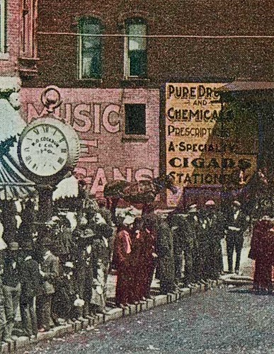
Saturday in Oakland City, Indiana, close-up section 2
advertising awning boys buggies buggy buildings businesses cafe children clocks clothing color crowd drugs girls hats hotels jeweler kids man men pedestrians people restaurants shops signs storefronts streetscene transportation wagons walking woman women oaklandcity indiana usa gibsoncounty history hoosierrecollections
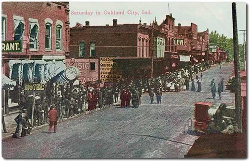
Saturday in Oakland City, Indiana
water insect geotagged pond dof dragonfly bokeh award indiana depthoffield southernindiana onwhite invite onblack flyinginsect mywinners mywinner geo:lat=38199946 geo:lon=87227701 reclaimedstripmine bestofformyspacestation
Wings in the Sun
girls people woman usa signs man color men history boys kids buildings walking advertising children awning clothing cafe women crowd hats restaurants indiana streetscene transportation drugs shops pedestrians hotels storefronts buggy clocks buggies businesses wagons oaklandcity jeweler gibsoncounty hoosierrecollections
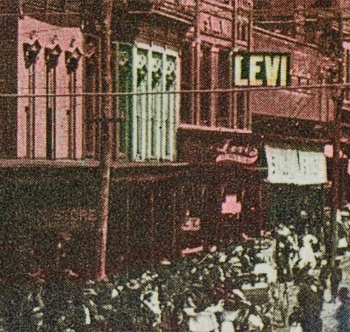
Saturday in Oakland City, Indiana, close-up section 3
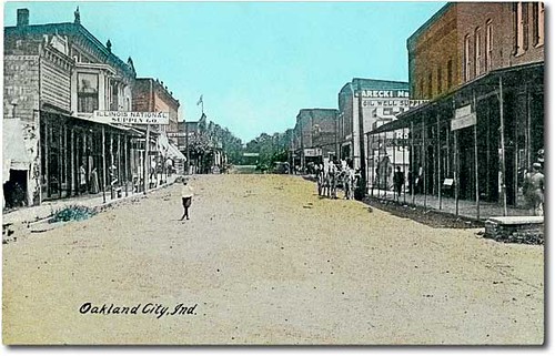
people usa signs color men history industry boys kids buildings walking advertising children women indiana streetscene flags machinery transportation pedestrians storefronts businesses wagons oaklandcity gibsoncounty hoosierrecollections
Main Street looking north, Oakland City, Indiana
colors insect geotagged weed colours dragonfly indiana southernindiana impressionism perched dots landed picnik flyinginsect colordots geo:lat=38199933 geo:lon=87227669
An Impressionist's Dragonfly
flower green yellow insect geotagged highway dof ditch bokeh indiana southernindiana wildflower i64 hoosiernationalforest flyinginsect geo:lat=38201278 geo:lon=87196373
Bidens Aristosa
panorama sony mining coal hugin nex6
Warrick County Coal Surface Mining (Strip Mine)
augusta uploaded:by=flickrmobile flickriosapp:filter=nofilter
My life❤️ these boys, and a few of me and my family.
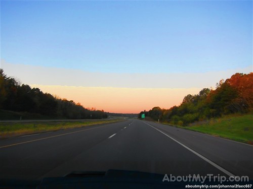
usa unitedstates indiana roadtrip warrickcounty aboutmytripdotcom
Indiana, Warrick County