Elevation of Cass Township, IN, USA
Location: United States > Indiana > Dubois County >
Longitude: -87.042439
Latitude: 38.258353
Elevation: 156m / 512feet
Barometric Pressure: 99KPa
Elevation Map:
Satellite Map:
Related Photos:

Bidens Aristosa
20080224 Cable Hat Side View

Nowhere, In.
Down by the tracks
Rita's Old House
NS 6663 319 Huntingburg IN 03 Mar 2013

My life❤️ these boys, and a few of me and my family.
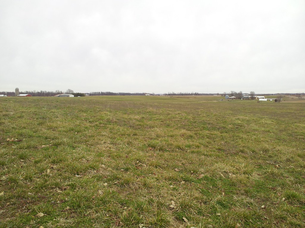
Rest Area near Santa Claus
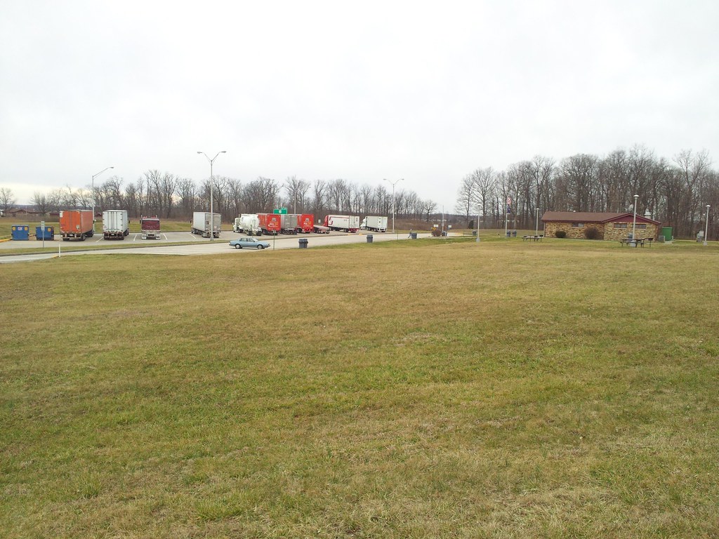
Rest Area Santa Claus
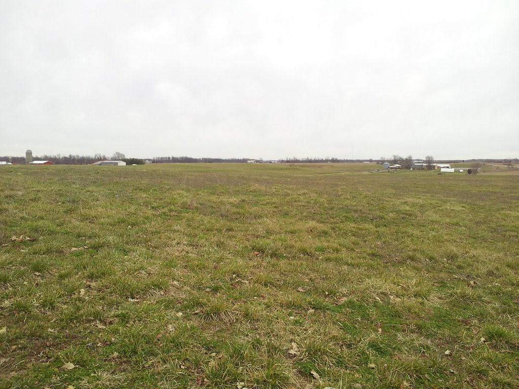
Rest Area near Santa Claus

Lincoln Homestead (2 of 2)
Topographic Map of Cass Township, IN, USA
Find elevation by address:

Places in Cass Township, IN, USA:
Places near Cass Township, IN, USA:
Linn St, Holland, IN, USA
Holland
E Old State Rd 64, Stendal, IN, USA
4040 W 1100 S
Lockhart Township
Pigeon Township
W S, Holland, IN, USA
Stendal
Dale
IN-68, Dale, IN, USA
Brooks Rd, Gentryville, IN, USA
Carter Township
Old State Rd 64, Winslow, IN, USA
N, Dale, IN, USA
IN-, Huntingburg, IN, USA
Sunward Drive
Main St, Ferdinand, IN, USA
Ferdinand
1660 Vienna Dr
Ferdinand Township
Recent Searches:
- Elevation of 72-31 Metropolitan Ave, Middle Village, NY, USA
- Elevation of 76 Metropolitan Ave, Brooklyn, NY, USA
- Elevation of Alisal Rd, Solvang, CA, USA
- Elevation of Vista Blvd, Sparks, NV, USA
- Elevation of 15th Ave SE, St. Petersburg, FL, USA
- Elevation of Beall Road, Beall Rd, Florida, USA
- Elevation of Leguwa, Nepal
- Elevation of County Rd, Enterprise, AL, USA
- Elevation of Kolchuginsky District, Vladimir Oblast, Russia
- Elevation of Shustino, Vladimir Oblast, Russia