Elevation of Old Seale Hwy, Pittsview, AL, USA
Location: United States > Alabama > Russell County > Pittsview >
Longitude: -85.17835
Latitude: 32.1298699
Elevation: 133m / 436feet
Barometric Pressure: 100KPa
Elevation Map:
Satellite Map:
Related Photos:
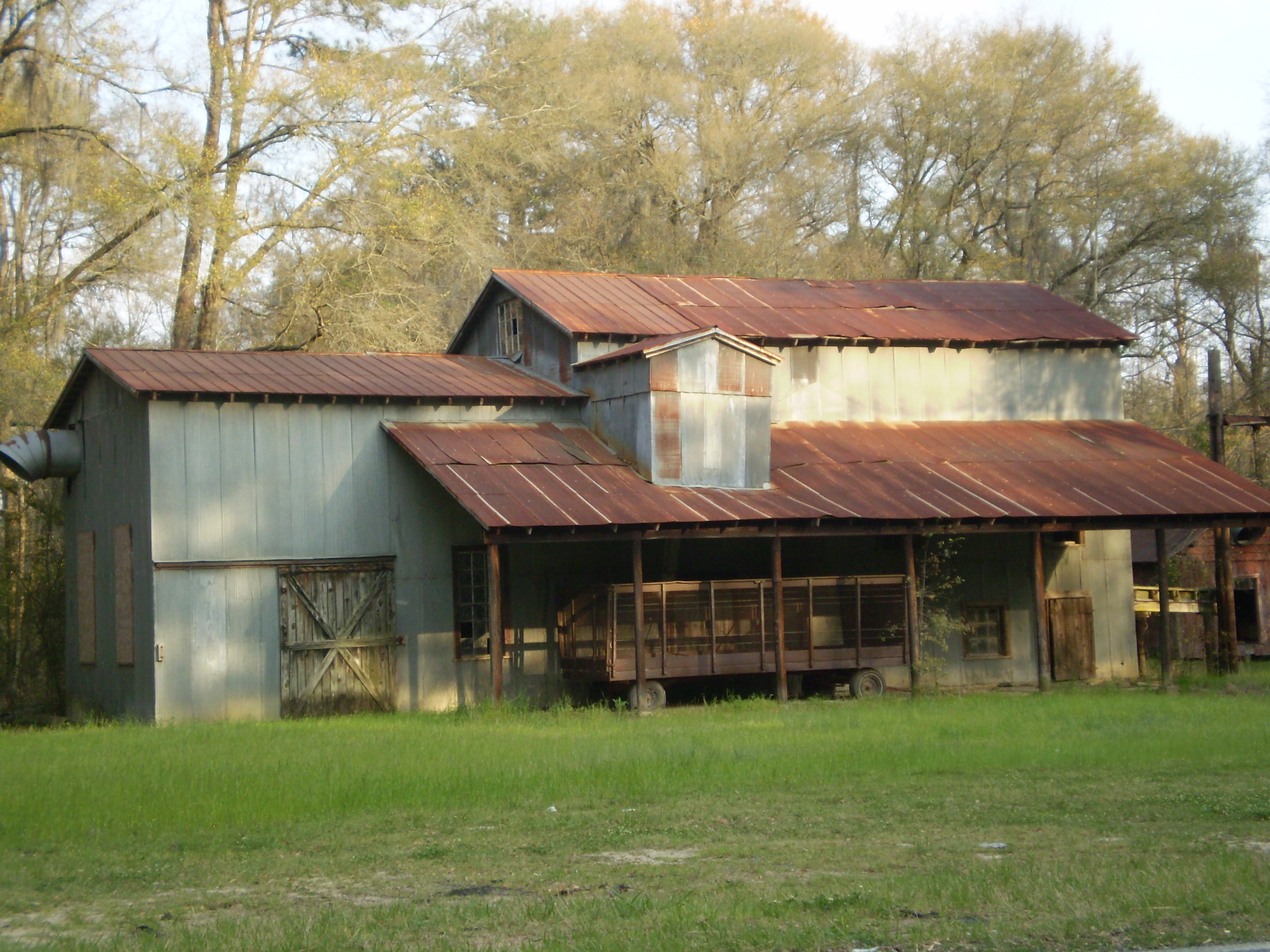
Old Jewel Of The Alabama Cotton Industry
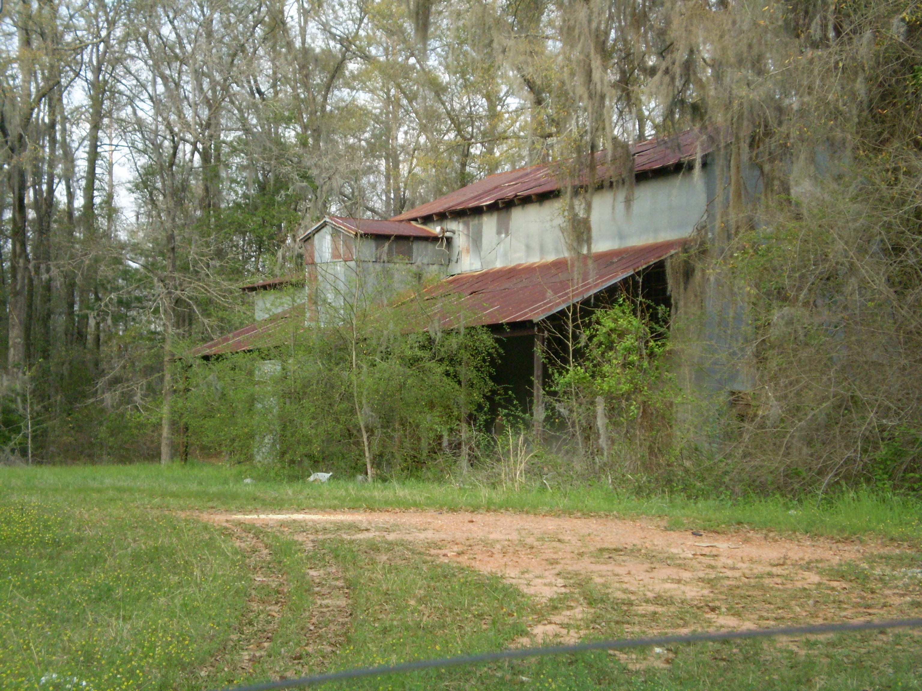
Alabama Cotton Relics............
Cloistered Bridge

IMG_3842.jpg

IMG_3837.jpg
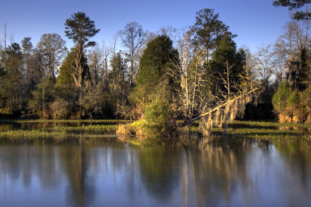
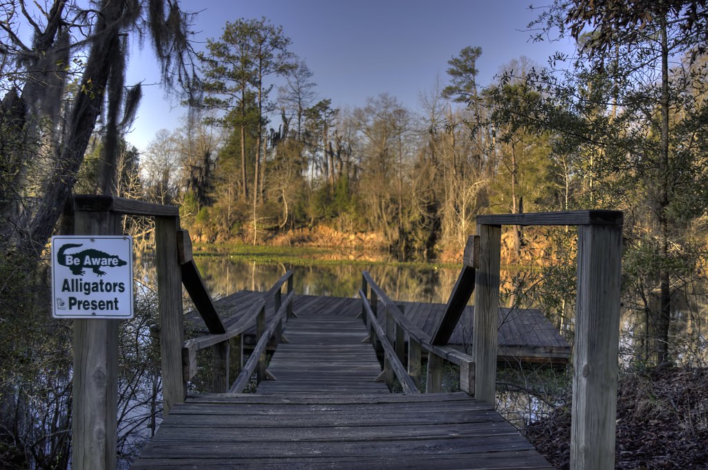
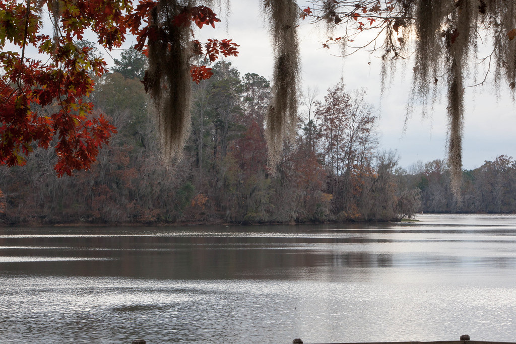
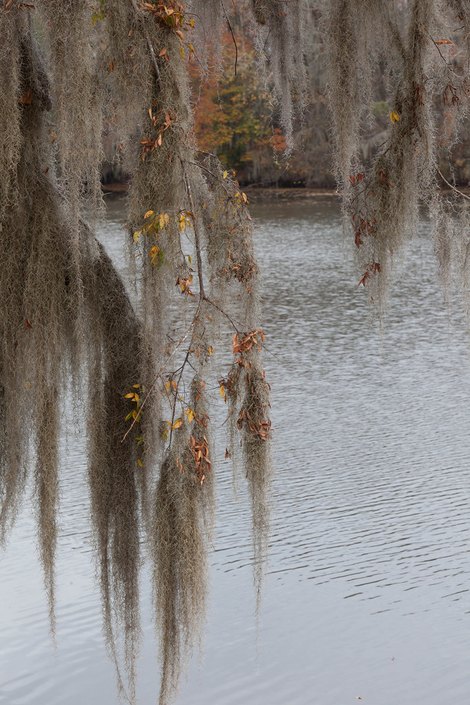
The River Swamp

Blue heron

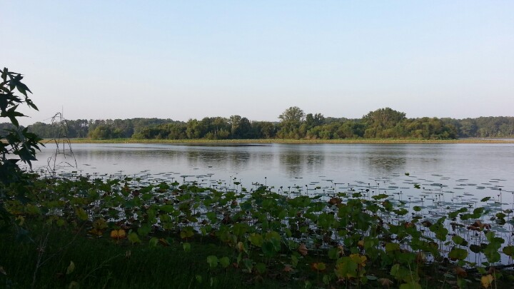
Lake Walter F. George
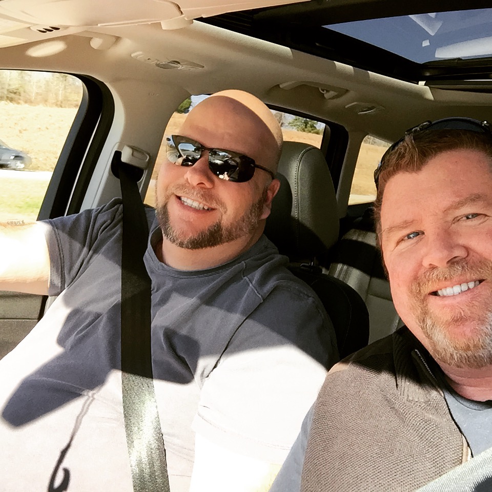
Drinking coffee
Weekend Roadtrip to Panama City beach
See Ya Later Alligator...
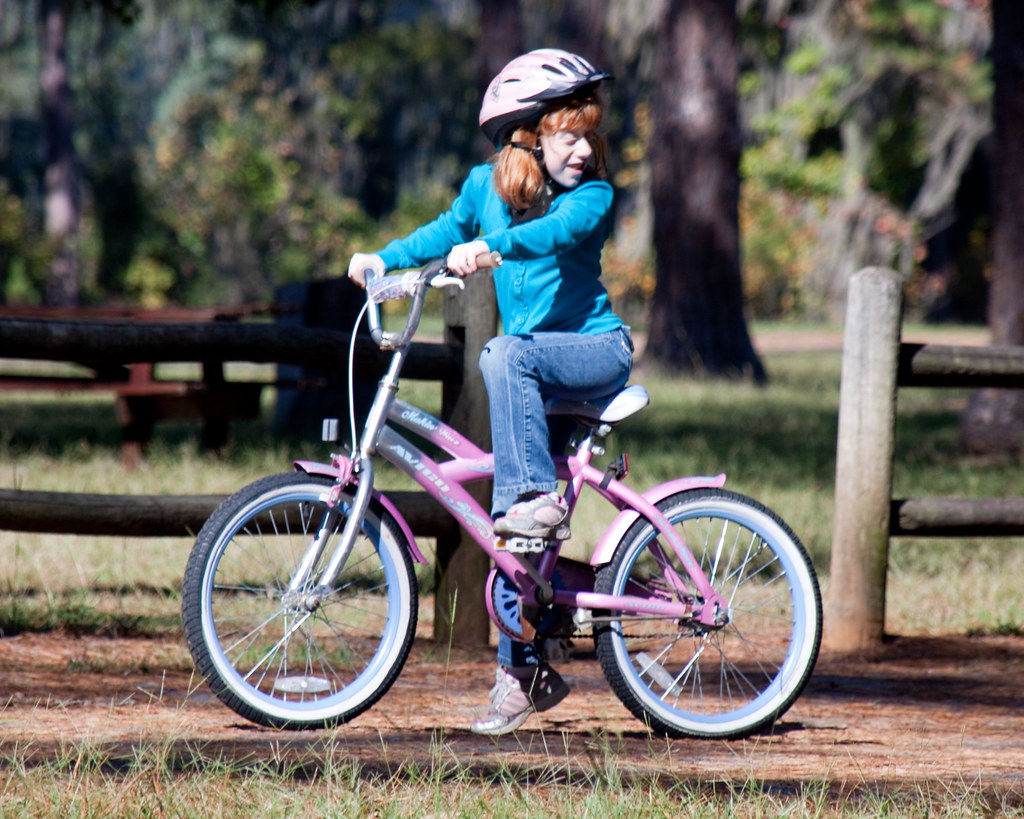
Natalie Waiting For a Friend

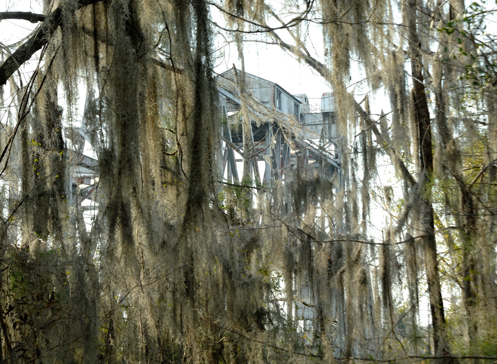
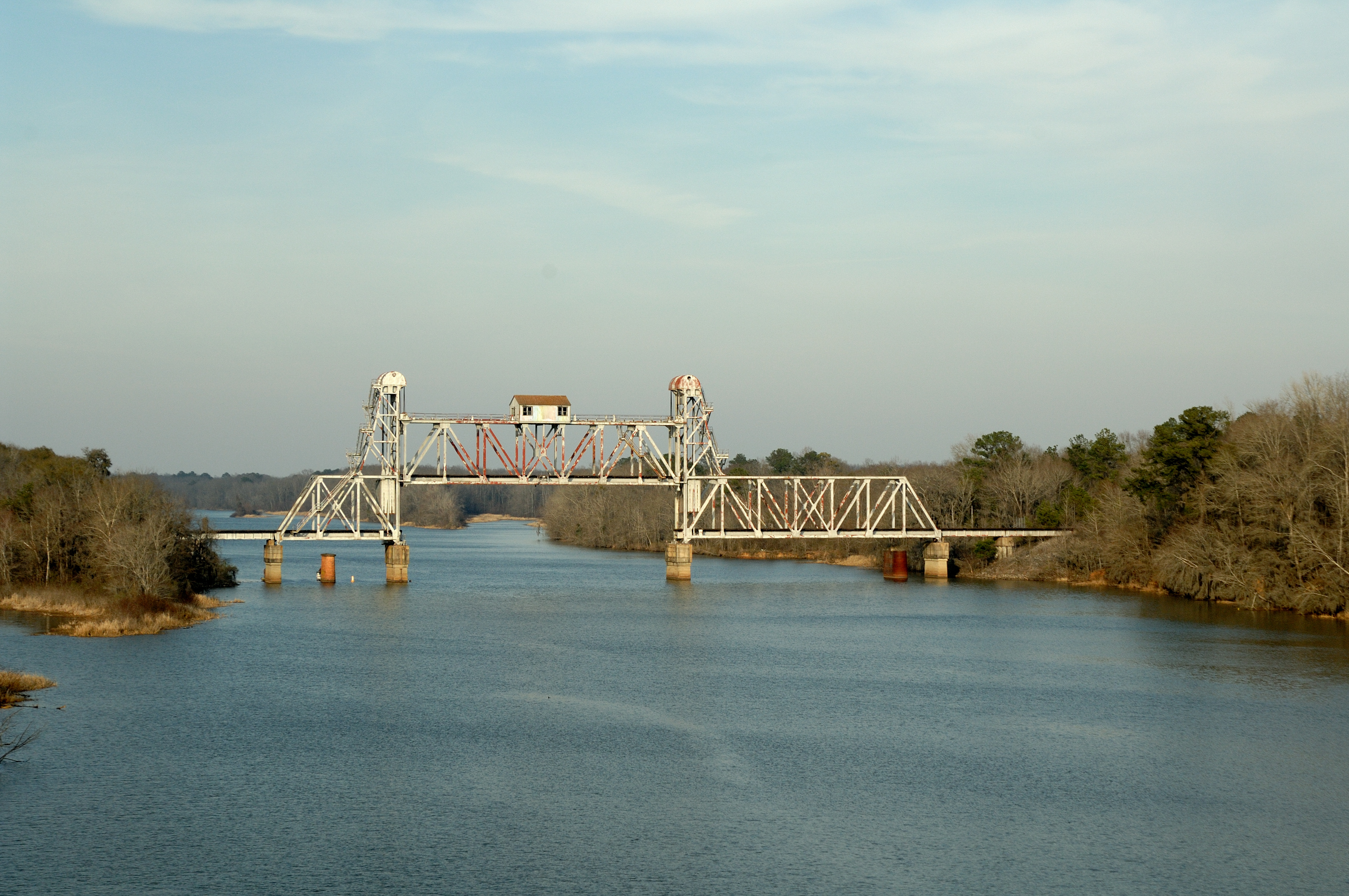
Omaha-Cottonton Railroad Bridge

Omaha-Cottonton Railroad Bridge
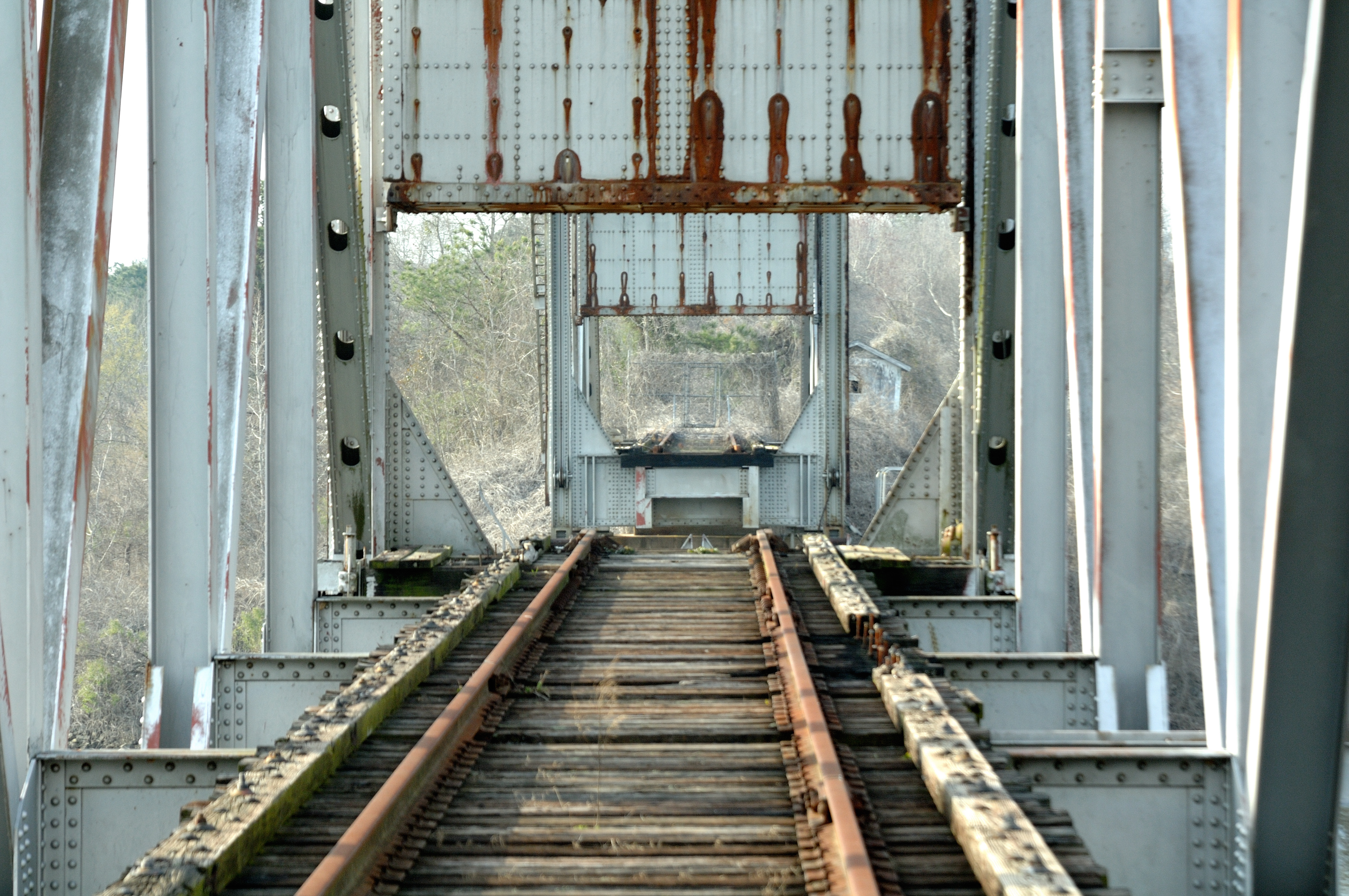
The Draw is Drawn
Abandoned RR Bridge at Omaha, GA

IMG_3846.jpg
IMG_3839.jpg
IMG_3836.jpg
IMG_3833.jpg
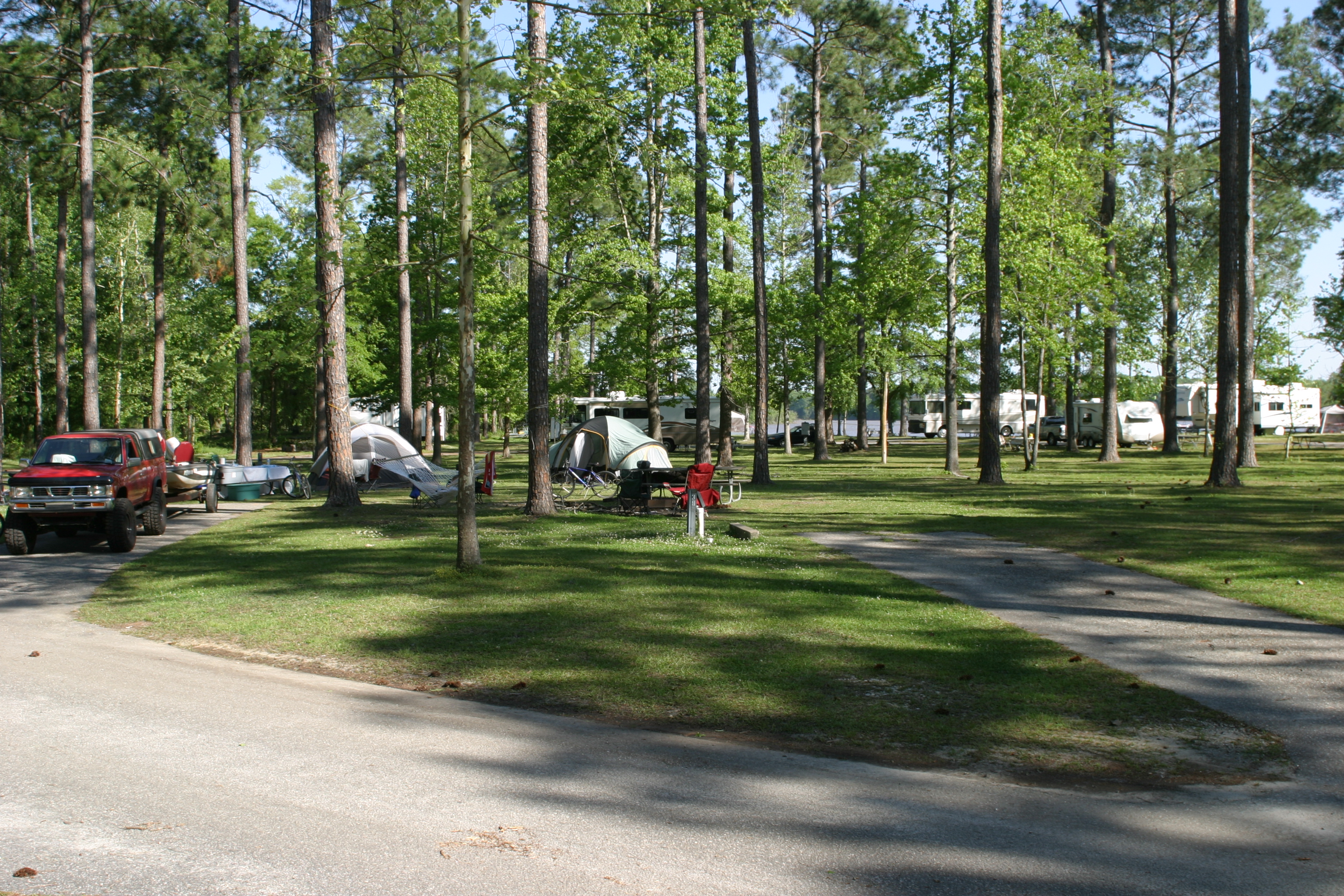
Lakepoint State Park Campground

How many birds are on this tree?

Vandalized stop sign
Topographic Map of Old Seale Hwy, Pittsview, AL, USA
Find elevation by address:

Places near Old Seale Hwy, Pittsview, AL, USA:
Pittsview
5 Briar Creek Rd, Pittsview, AL, USA
Cottonton
Co Rd 97, Eufaula, AL, USA
51 Trammell Rd
216 Firetower Rd
36 GA-39, Omaha, GA, USA
Florence
Old Hwy, Eufaula, AL, USA
323 Old Hwy 165
AL-26, Hatchechubbee, AL, USA
US-82, Eufaula, AL, USA
Co Rd 49, Eufaula, AL, USA
Omaha
Florence Road
Seale
Hatchechubbee
Brew St, Omaha, GA, USA
Co Rd 79, Midway, AL, USA
22 Pinecrest Ct
Recent Searches:
- Elevation of 15th Ave SE, St. Petersburg, FL, USA
- Elevation of Beall Road, Beall Rd, Florida, USA
- Elevation of Leguwa, Nepal
- Elevation of County Rd, Enterprise, AL, USA
- Elevation of Kolchuginsky District, Vladimir Oblast, Russia
- Elevation of Shustino, Vladimir Oblast, Russia
- Elevation of Lampiasi St, Sarasota, FL, USA
- Elevation of Elwyn Dr, Roanoke Rapids, NC, USA
- Elevation of Congressional Dr, Stevensville, MD, USA
- Elevation of Bellview Rd, McLean, VA, USA