Elevation of Old Hwy, Eufaula, AL, USA
Location: United States > Alabama > Barbour County > Eufaula >
Longitude: -85.0958
Latitude: 32.0006
Elevation: 74m / 243feet
Barometric Pressure: 100KPa
Elevation Map:
Satellite Map:
Related Photos:
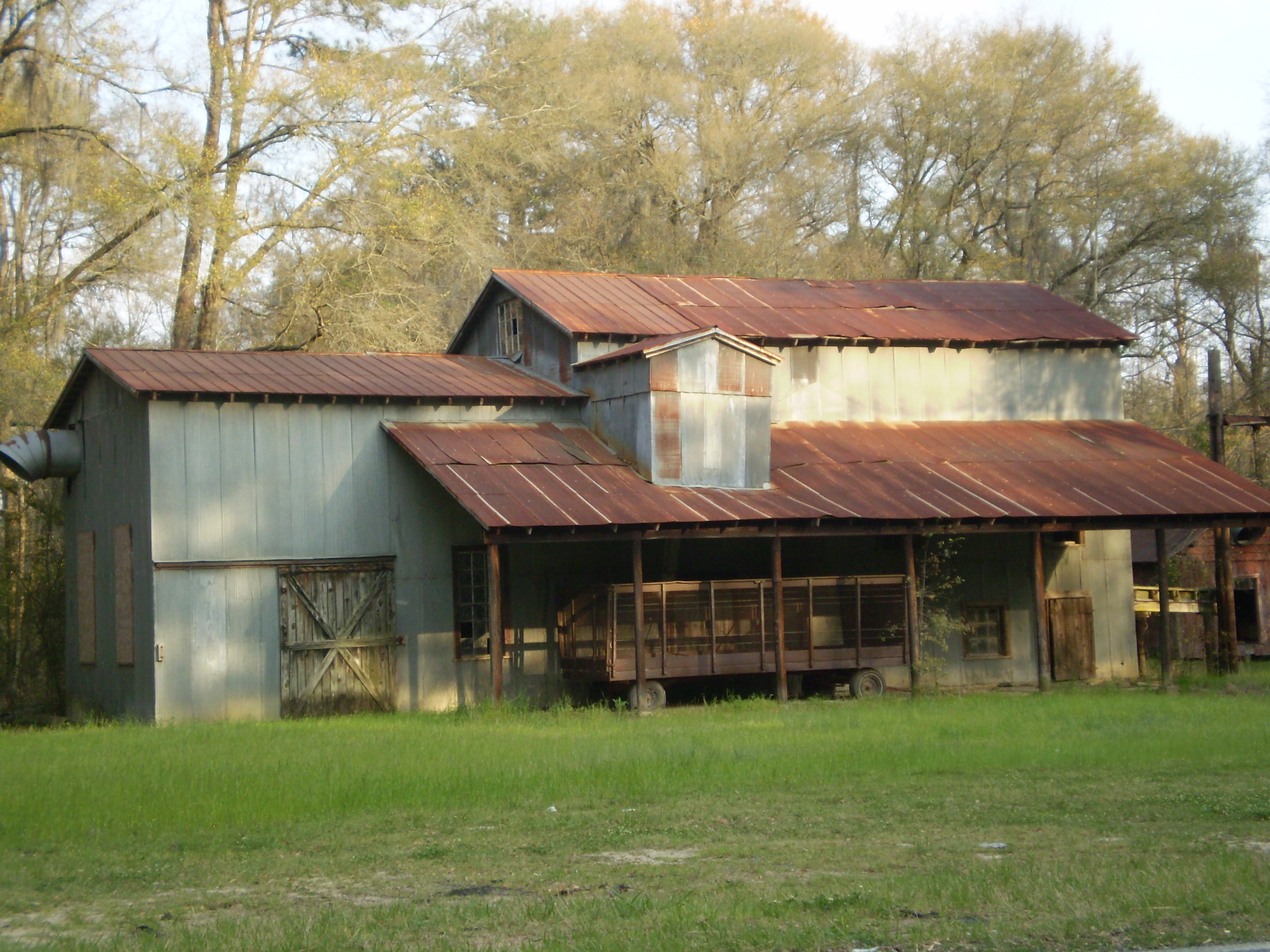
Old Jewel Of The Alabama Cotton Industry
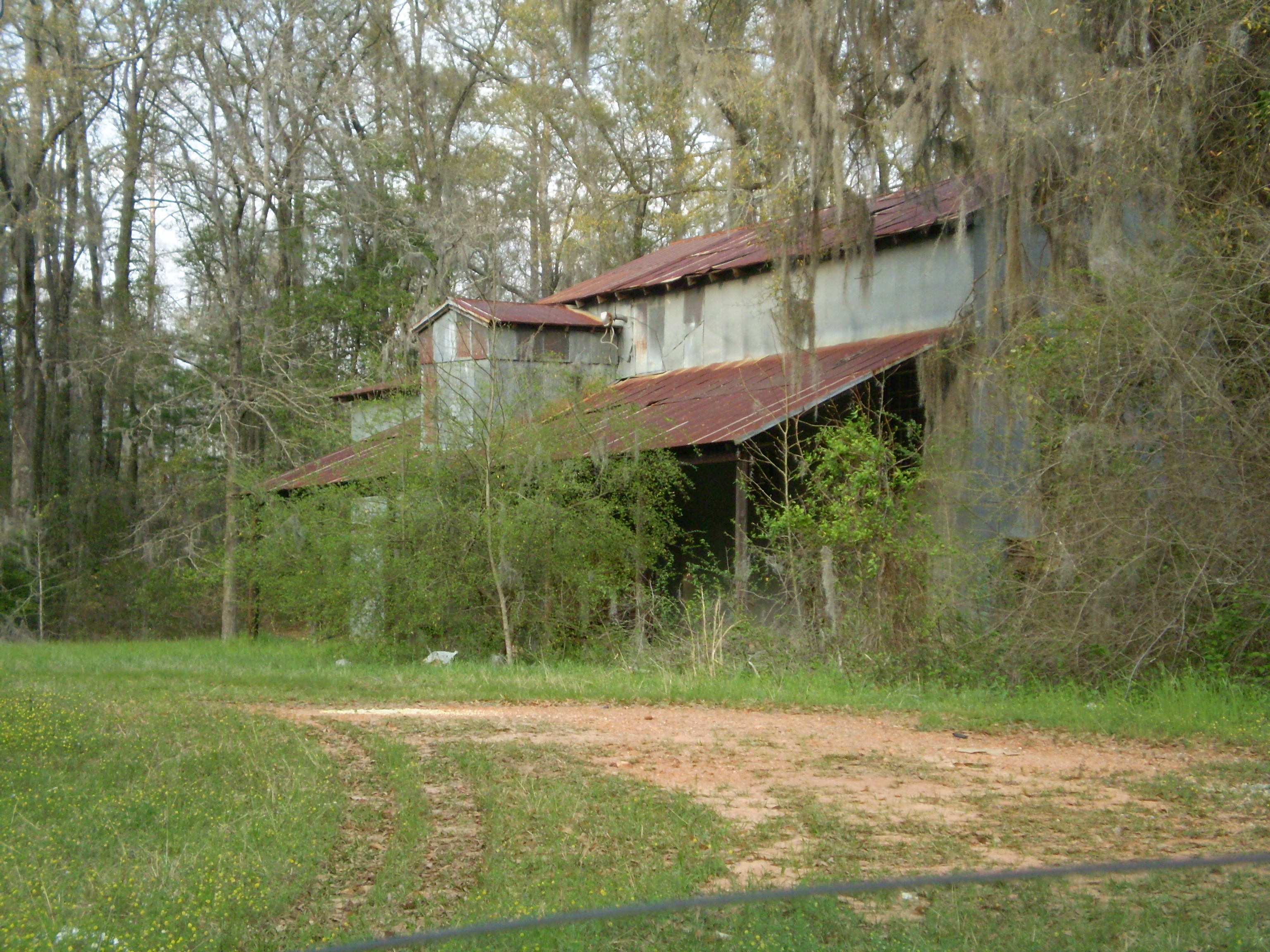
Alabama Cotton Relics............

Pyrisitia lisa (Little Yellow) Butterfly (top view)

IMG_3842.jpg
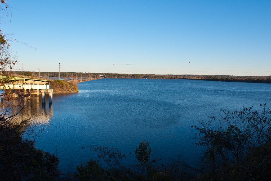
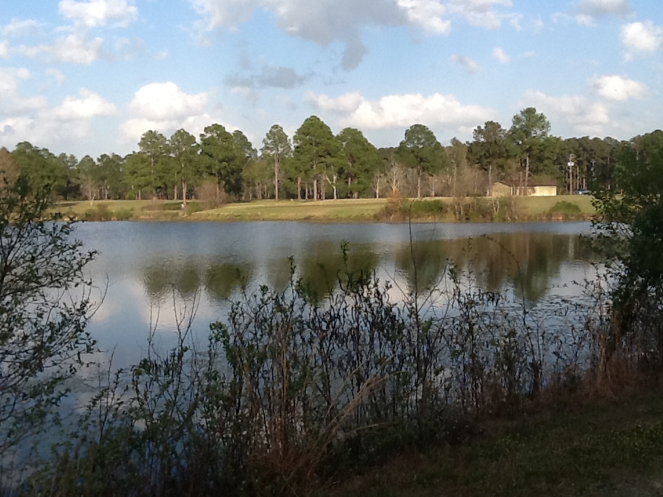
Walter F. George Reservoir
IMG_3837.jpg
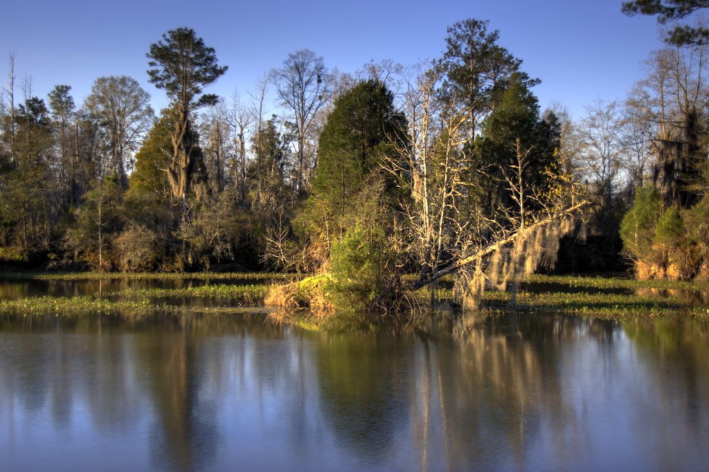
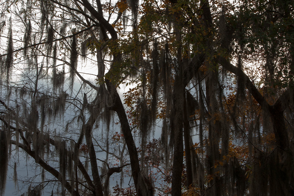
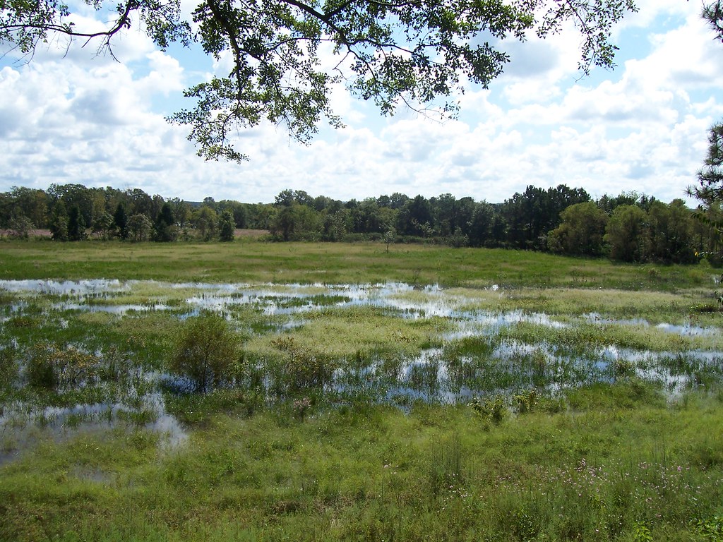
The River Swamp

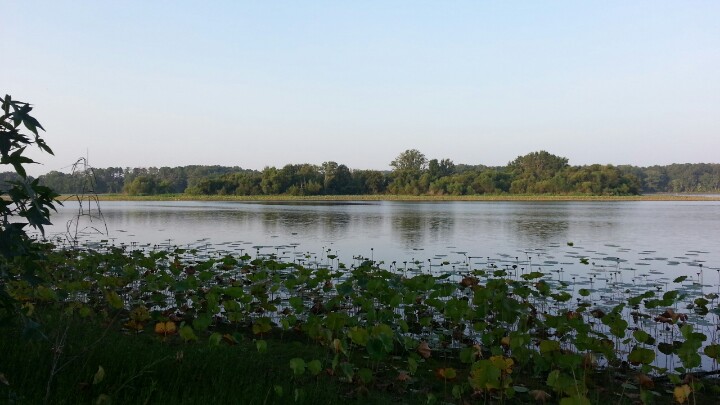
Lake Eufaula
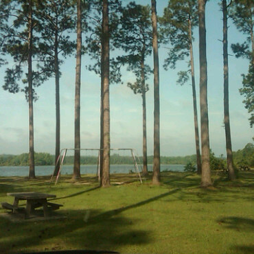
At Lakepoint Resort
Lakepoint Resort State Park, Eufaula, AL

Blue heron
Lakepoint Resort State Park, Eufaula, AL

Palm Warbler

Lake Walter F. George
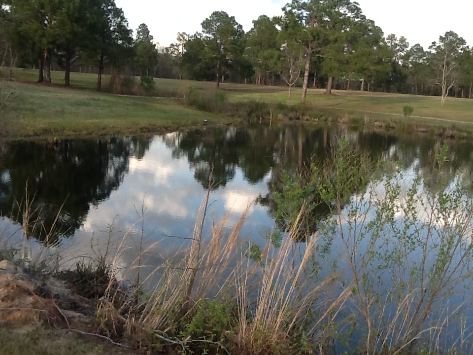
Eufaula National Wildlife Refuge
Drinking coffee
Topographic Map of Old Hwy, Eufaula, AL, USA
Find elevation by address:

Places near Old Hwy, Eufaula, AL, USA:
323 Old Hwy 165
Co Rd 97, Eufaula, AL, USA
826 Ga-39
51 Trammell Rd
N Eufaula Ave, Eufaula, AL, USA
36 GA-39, Omaha, GA, USA
Florence
538 Cotton Ave
Georgetown
29 Middle St, Georgetown, GA, USA
57 Church St
Eufaula
US-82, Eufaula, AL, USA
449 Winding Way Blvd
214 Woodhill Cir
255 Winding Way Blvd
Barbour Ln, Eufaula, AL, USA
Cottonton
Old Seale Hwy, Pittsview, AL, USA
Florence Road
Recent Searches:
- Elevation of Corso Fratelli Cairoli, 35, Macerata MC, Italy
- Elevation of Tallevast Rd, Sarasota, FL, USA
- Elevation of 4th St E, Sonoma, CA, USA
- Elevation of Black Hollow Rd, Pennsdale, PA, USA
- Elevation of Oakland Ave, Williamsport, PA, USA
- Elevation of Pedrógão Grande, Portugal
- Elevation of Klee Dr, Martinsburg, WV, USA
- Elevation of Via Roma, Pieranica CR, Italy
- Elevation of Tavkvetili Mountain, Georgia
- Elevation of Hartfords Bluff Cir, Mt Pleasant, SC, USA