Elevation of Old Scab Mountain, Washington, USA
Location: United States > Washington > Naches >
Longitude: -121.21647
Latitude: 46.894004
Elevation: 1900m / 6234feet
Barometric Pressure: 80KPa
Elevation Map:
Satellite Map:
Related Photos:
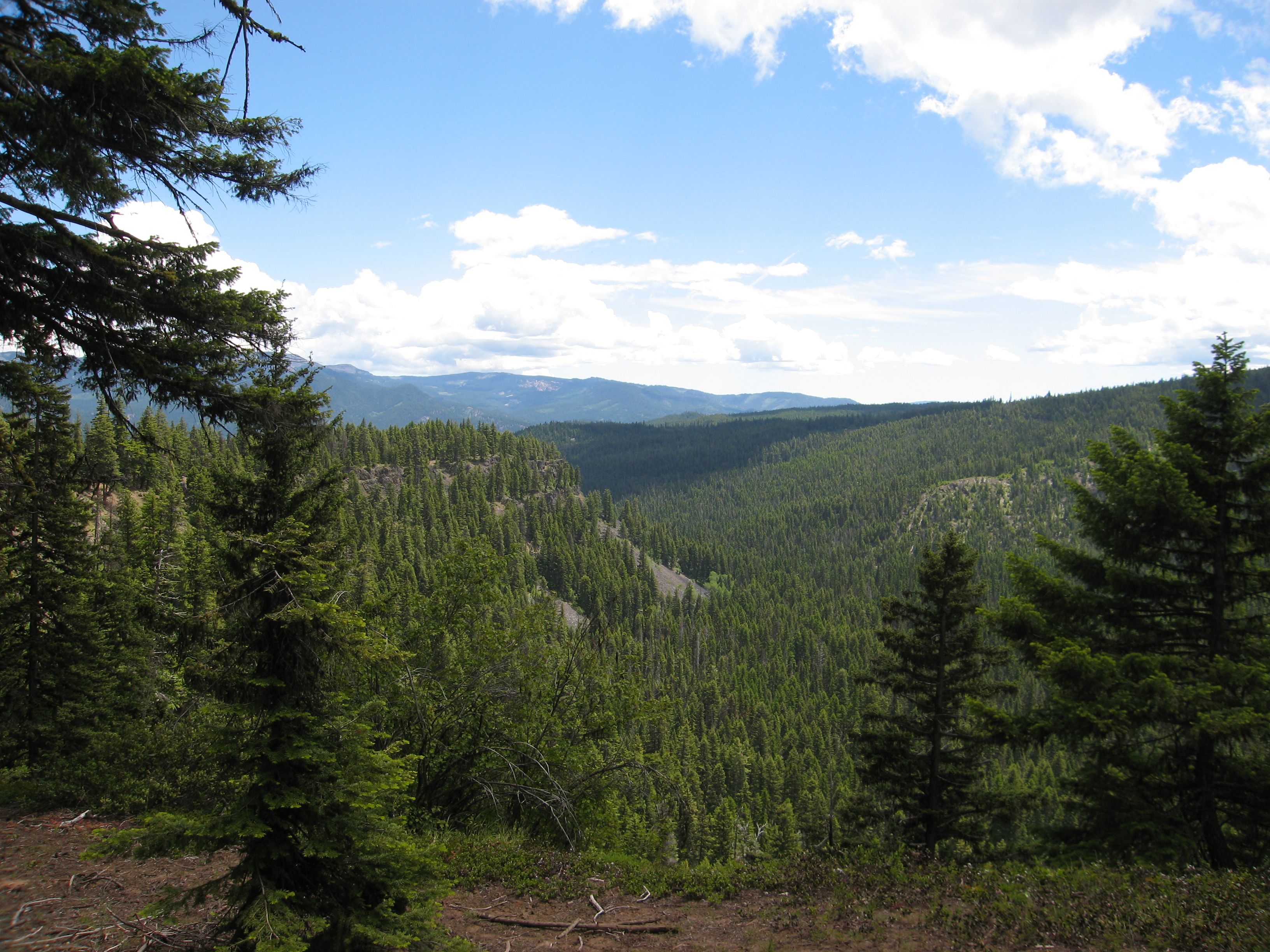
A Wonderfully Expansive View of Western Washington
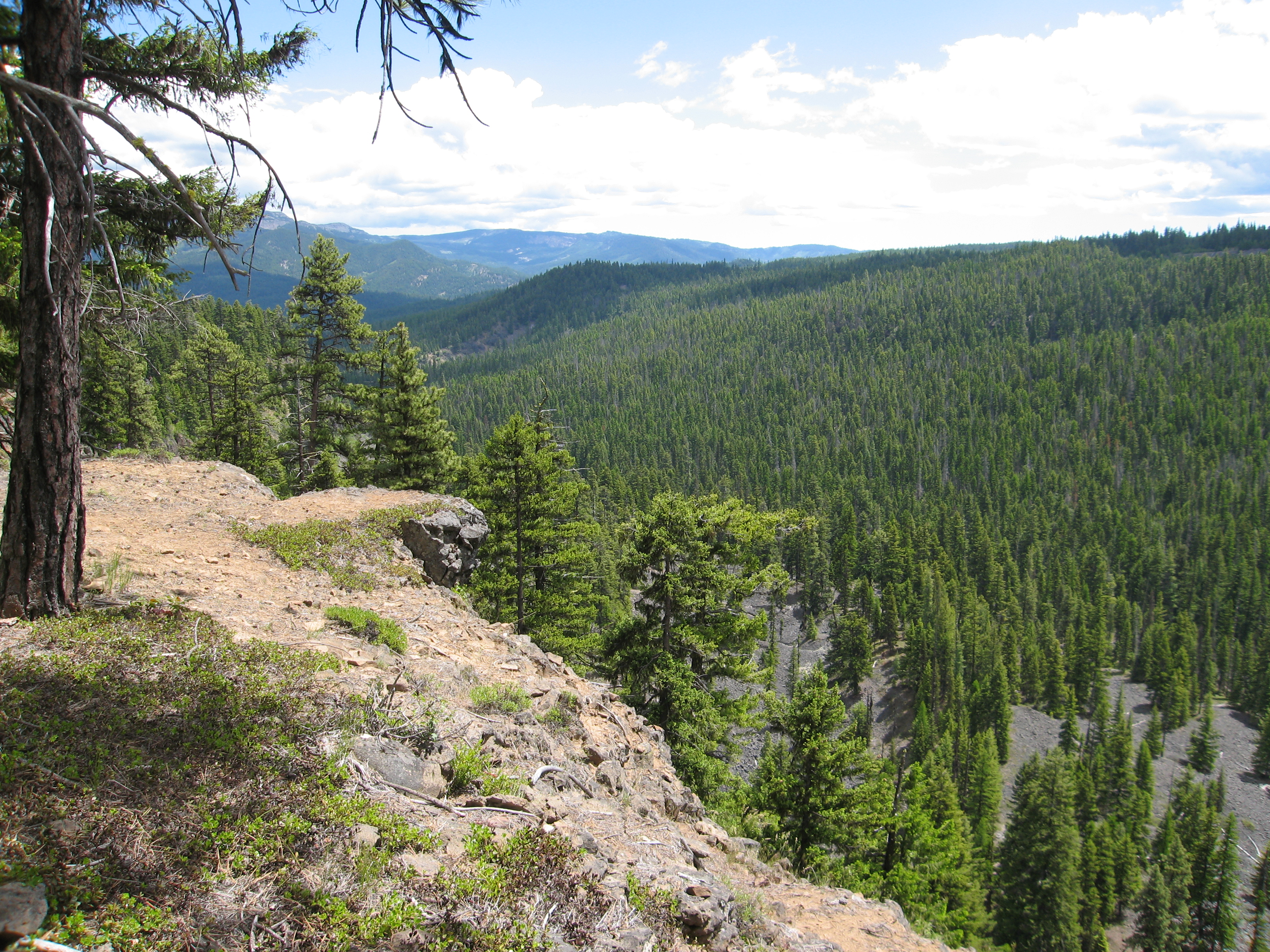
100627_011-Another view
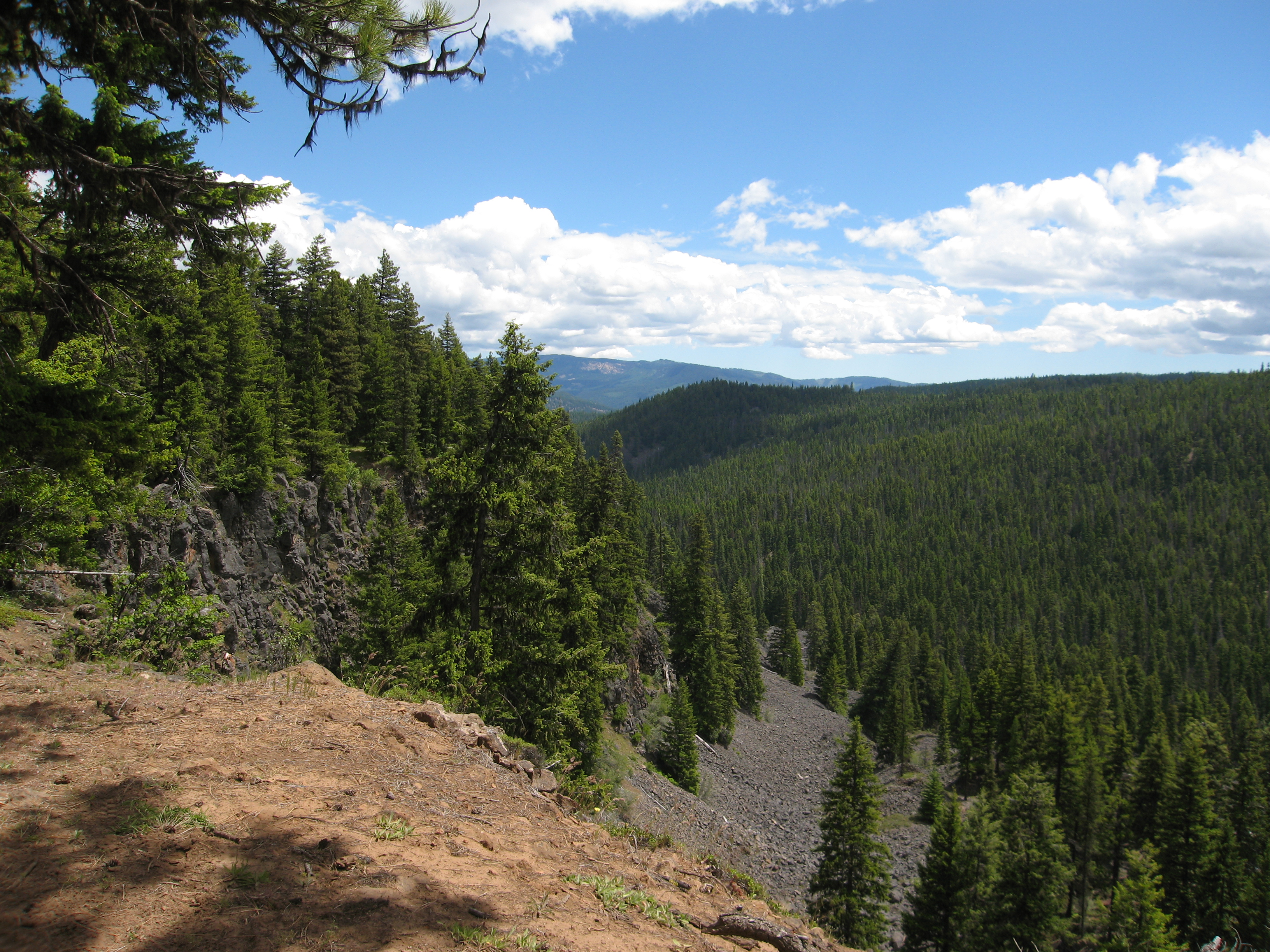
100627_010-Another view
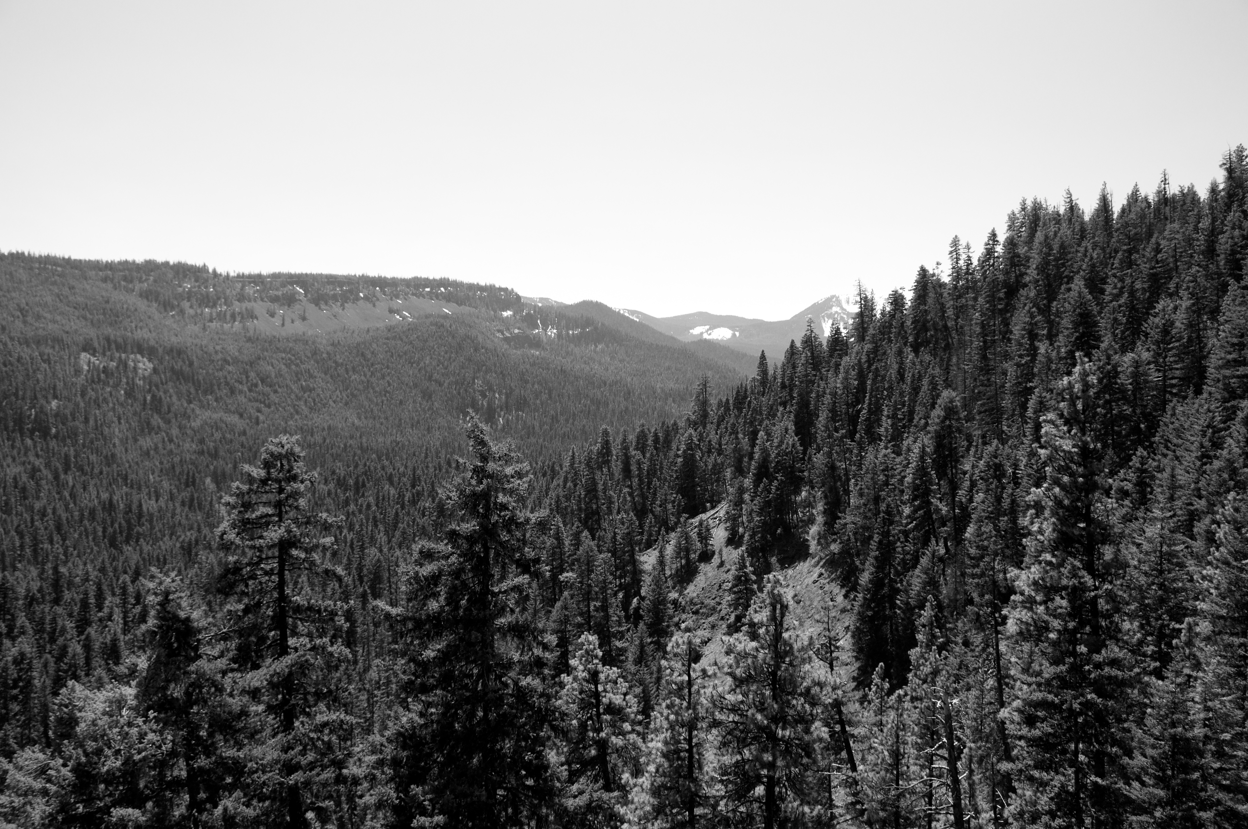
100627_005-First view
Topographic Map of Old Scab Mountain, Washington, USA
Find elevation by address:

Places near Old Scab Mountain, Washington, USA:
Goose Prairie
American River
Fifes Ridge East
Fifes Peaks West
Fifes Ridge West
98937 Wa-410
80 Wapiti Run Ln
80 Wapiti Run Ln
80 Wapiti Run Ln
80 Wapiti Run Ln
80 Wapiti Run Ln
80 Wapiti Run Ln
Raven Roost
Cougar Valley
Cottonwood Campground
81 Pine Cliff Dr, Union Gap, WA, USA
Crown Point
Norse Peak
Pickhandle Point
Rimrock Lake
Recent Searches:
- Elevation of Corso Fratelli Cairoli, 35, Macerata MC, Italy
- Elevation of Tallevast Rd, Sarasota, FL, USA
- Elevation of 4th St E, Sonoma, CA, USA
- Elevation of Black Hollow Rd, Pennsdale, PA, USA
- Elevation of Oakland Ave, Williamsport, PA, USA
- Elevation of Pedrógão Grande, Portugal
- Elevation of Klee Dr, Martinsburg, WV, USA
- Elevation of Via Roma, Pieranica CR, Italy
- Elevation of Tavkvetili Mountain, Georgia
- Elevation of Hartfords Bluff Cir, Mt Pleasant, SC, USA