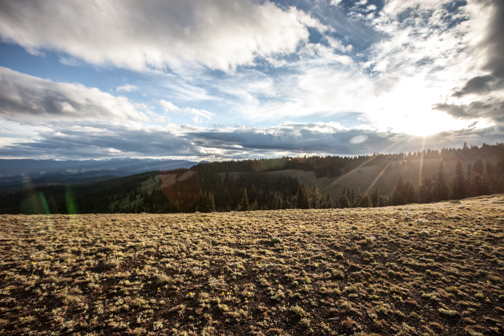
Elevation of Cottonwood Campground, Naches, WA, USA
Location: United States > Washington > Naches >
Longitude: -121.02611
Latitude: 46.9072222
Elevation: 694m / 2277feet
Barometric Pressure: 93KPa
Elevation Map:
Satellite Map:
Related Photos:
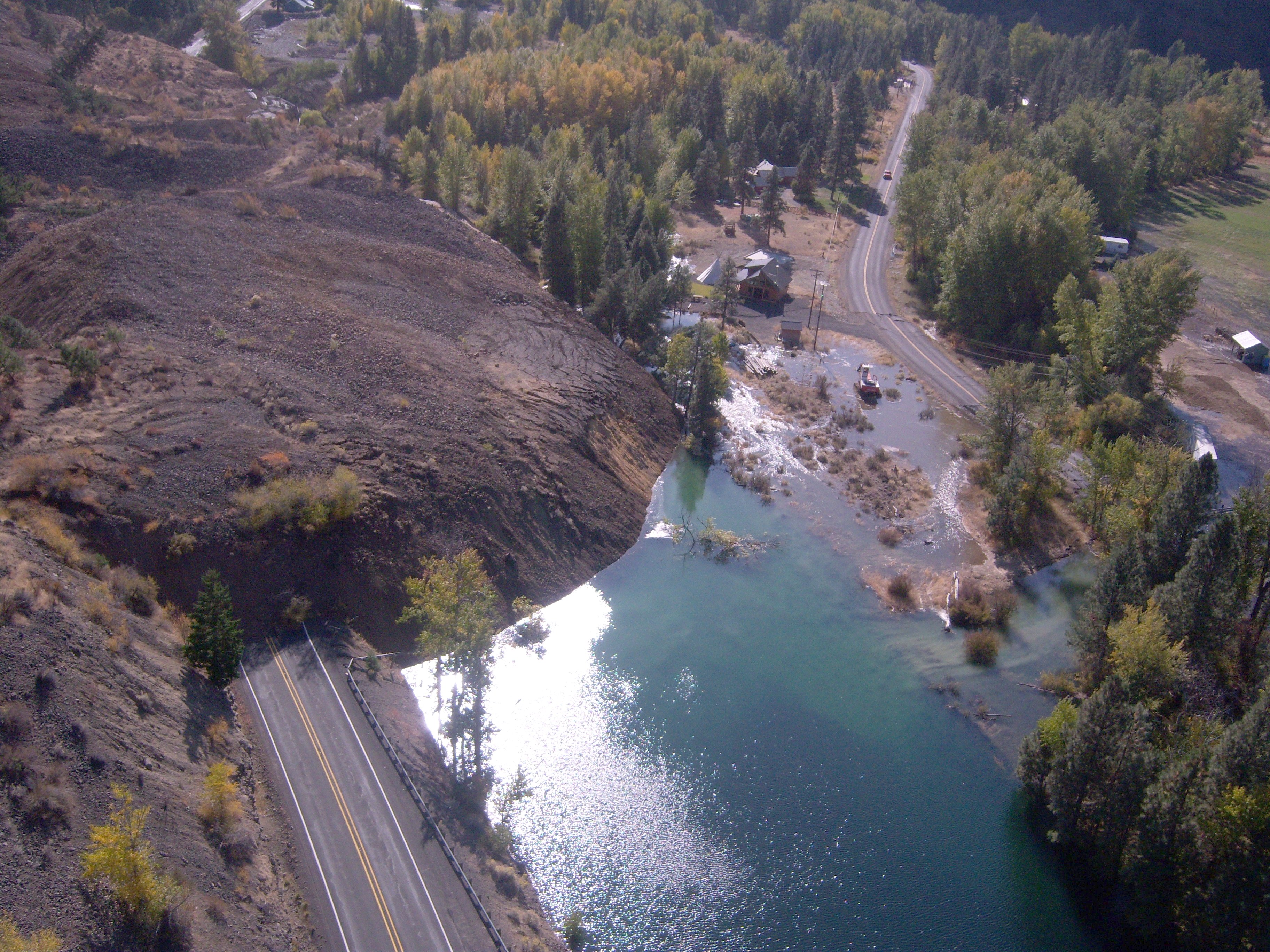
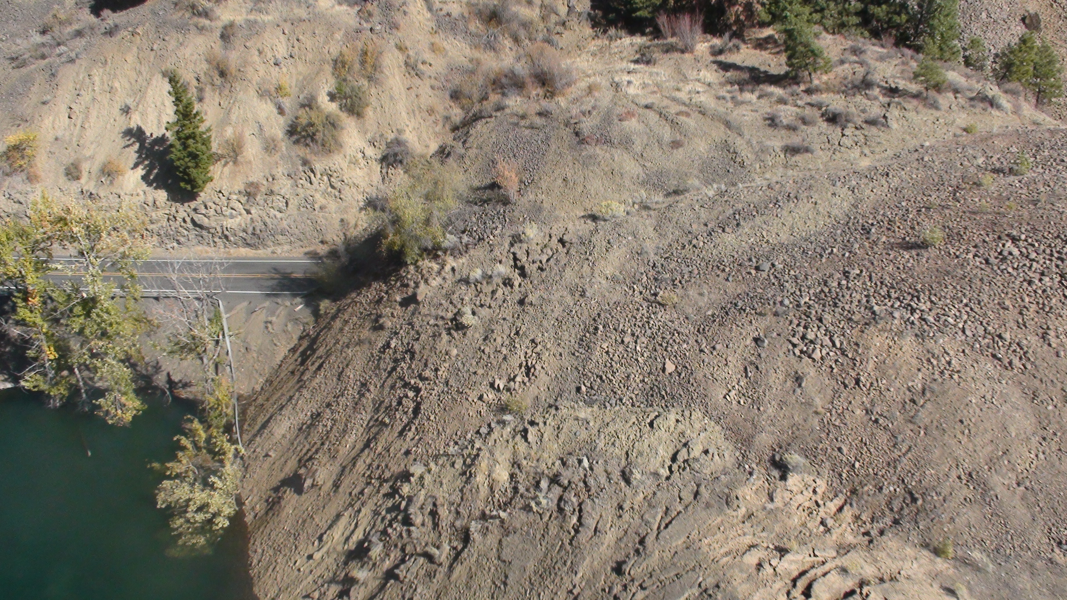
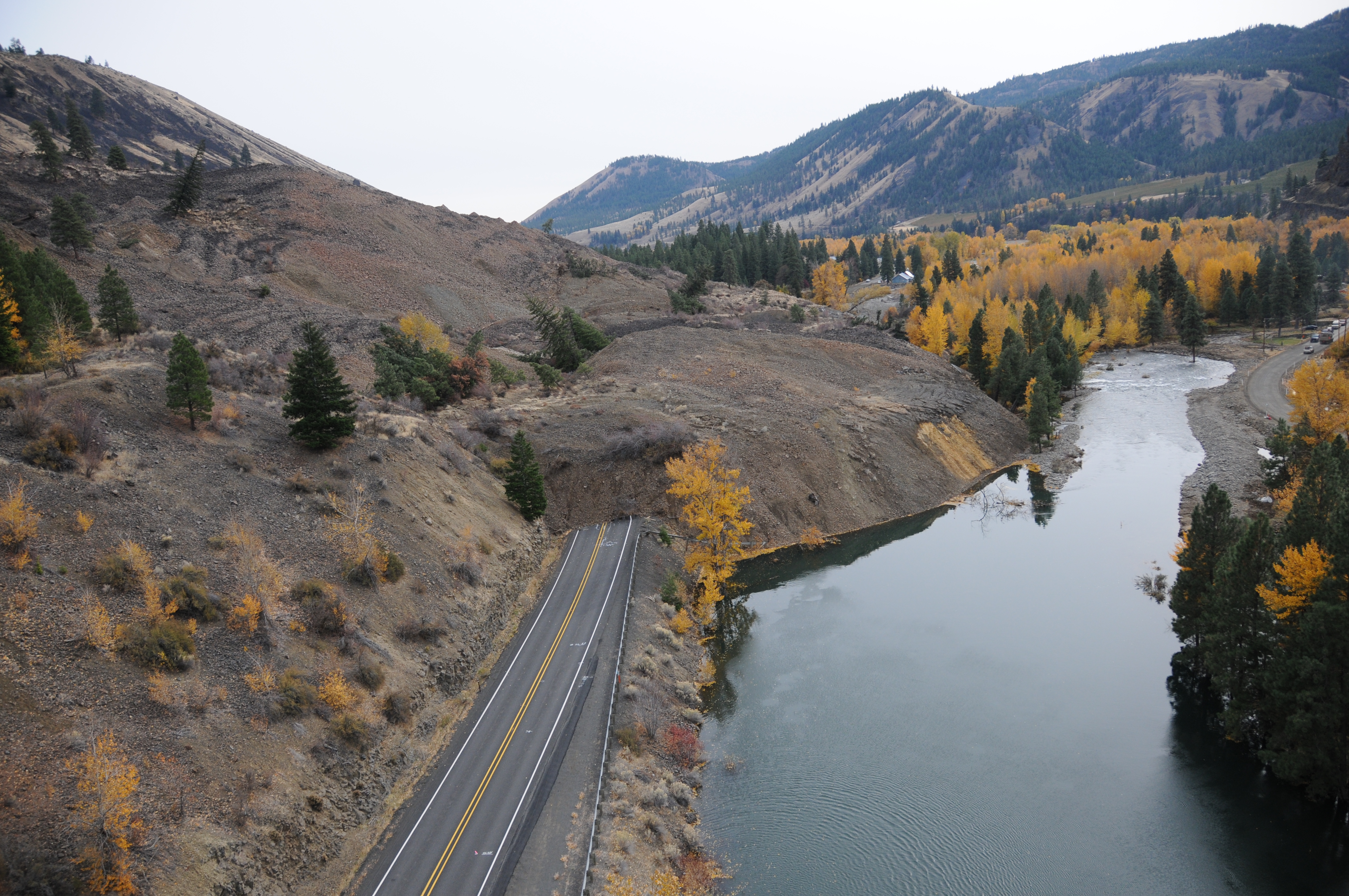
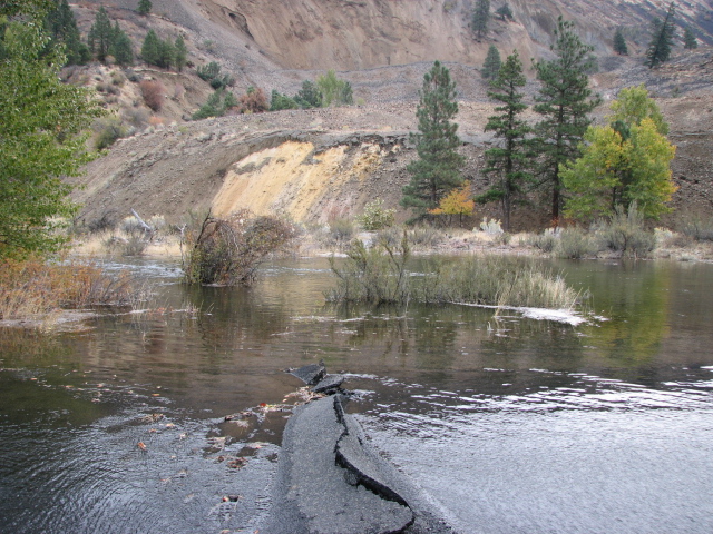
SR 410 Nile Valley Landslide (west of Naches)
SR 410 Nile Valley Landslide (west of Naches)
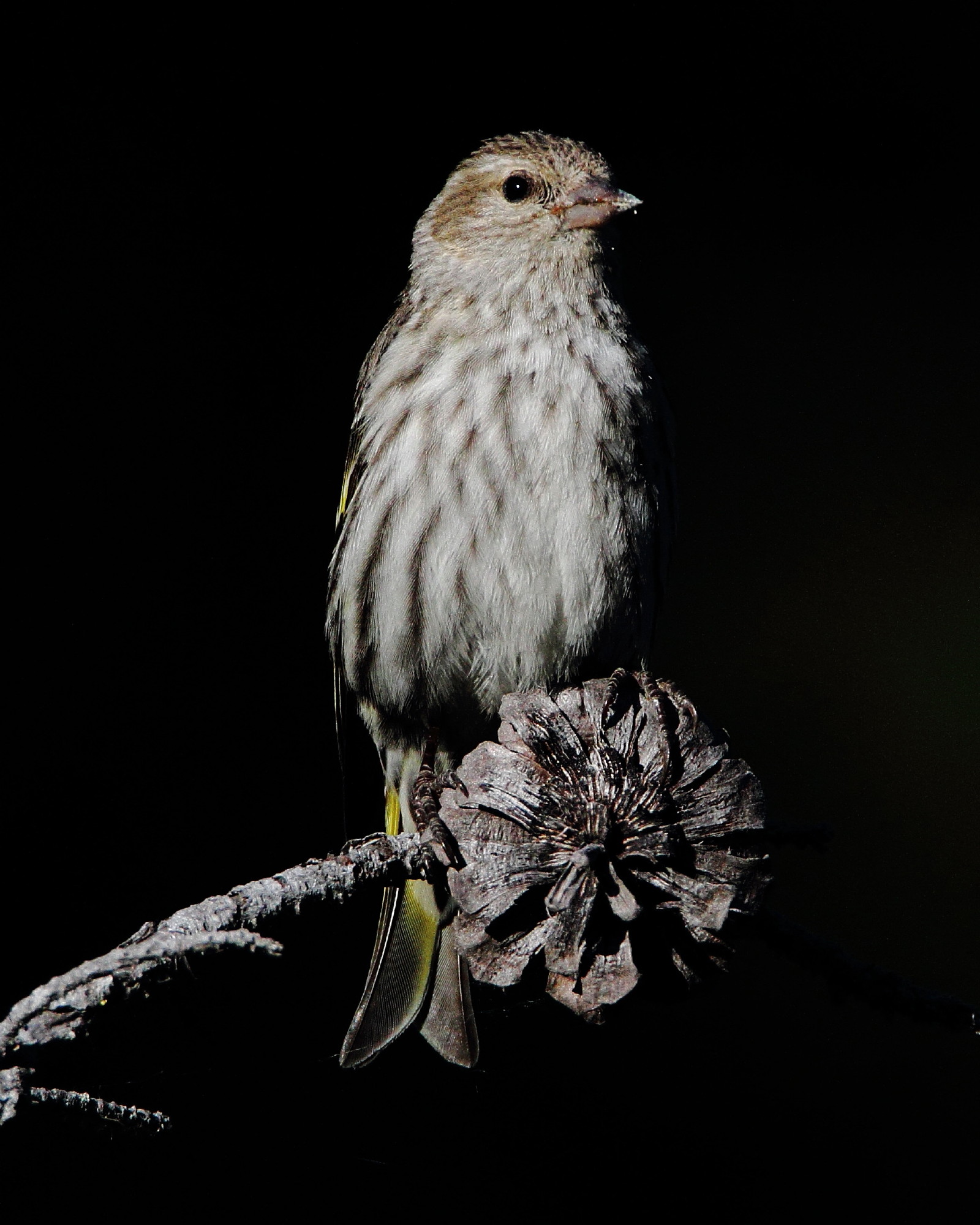
Pine siskin, Carduelis pinus

Evening grossbeak
SR 410 Nile Valley Landslide (west of Naches)
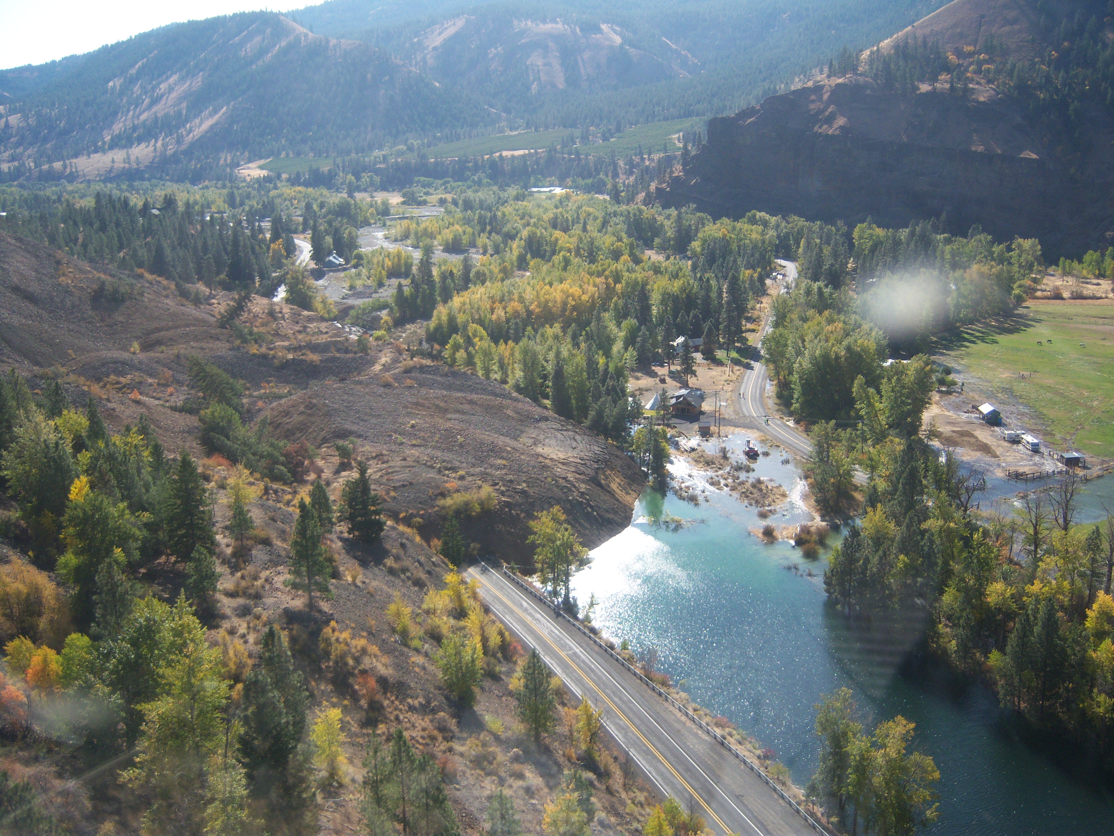
SR 410 Nile Valley Landslide (west of Naches)
SR 410 Nile Valley Landslide (west of Naches)

SR 410 Nile Valley Landslide (west of Naches)
SR 410 Nile Valley Landslide (west of Naches)
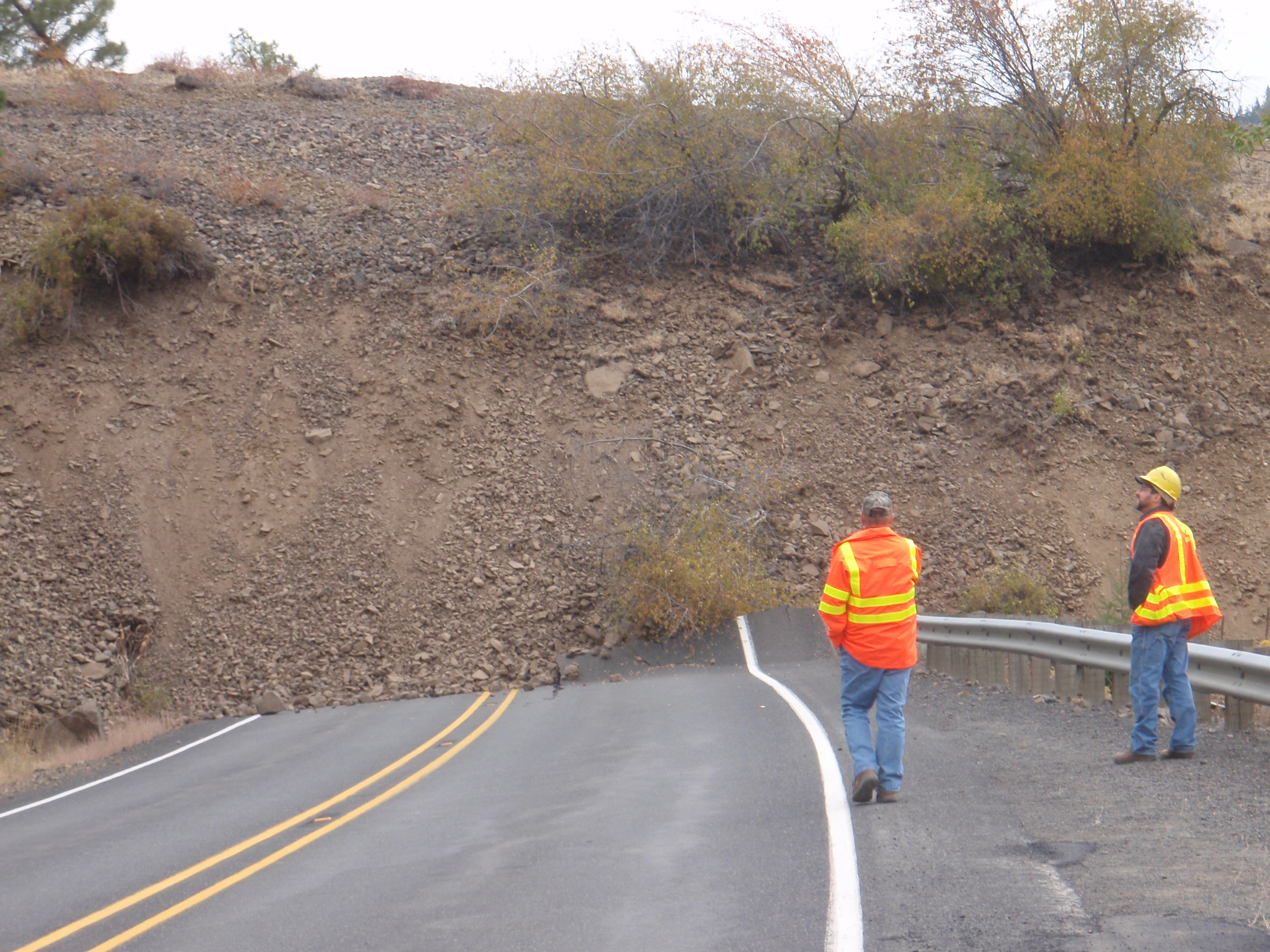
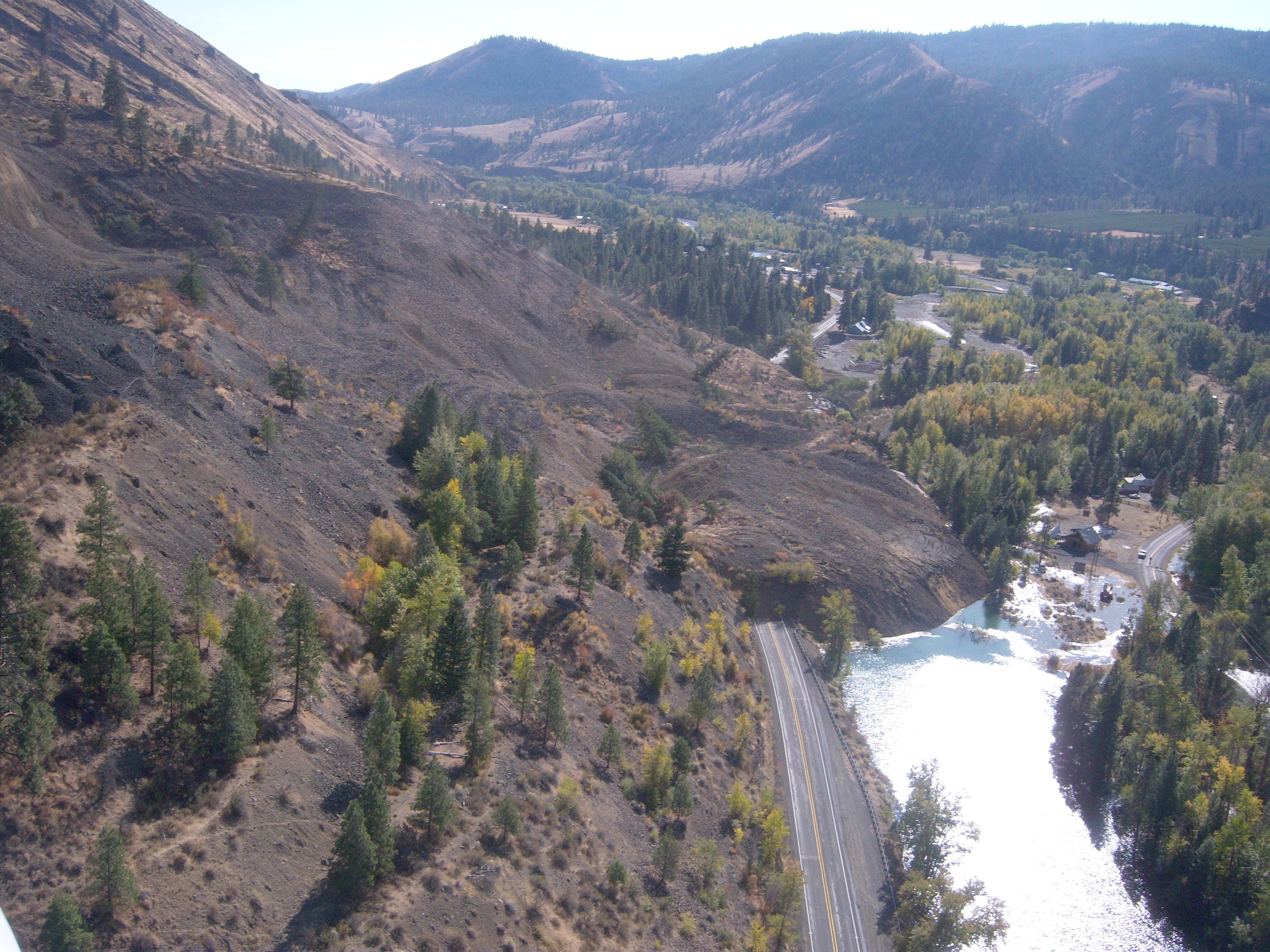
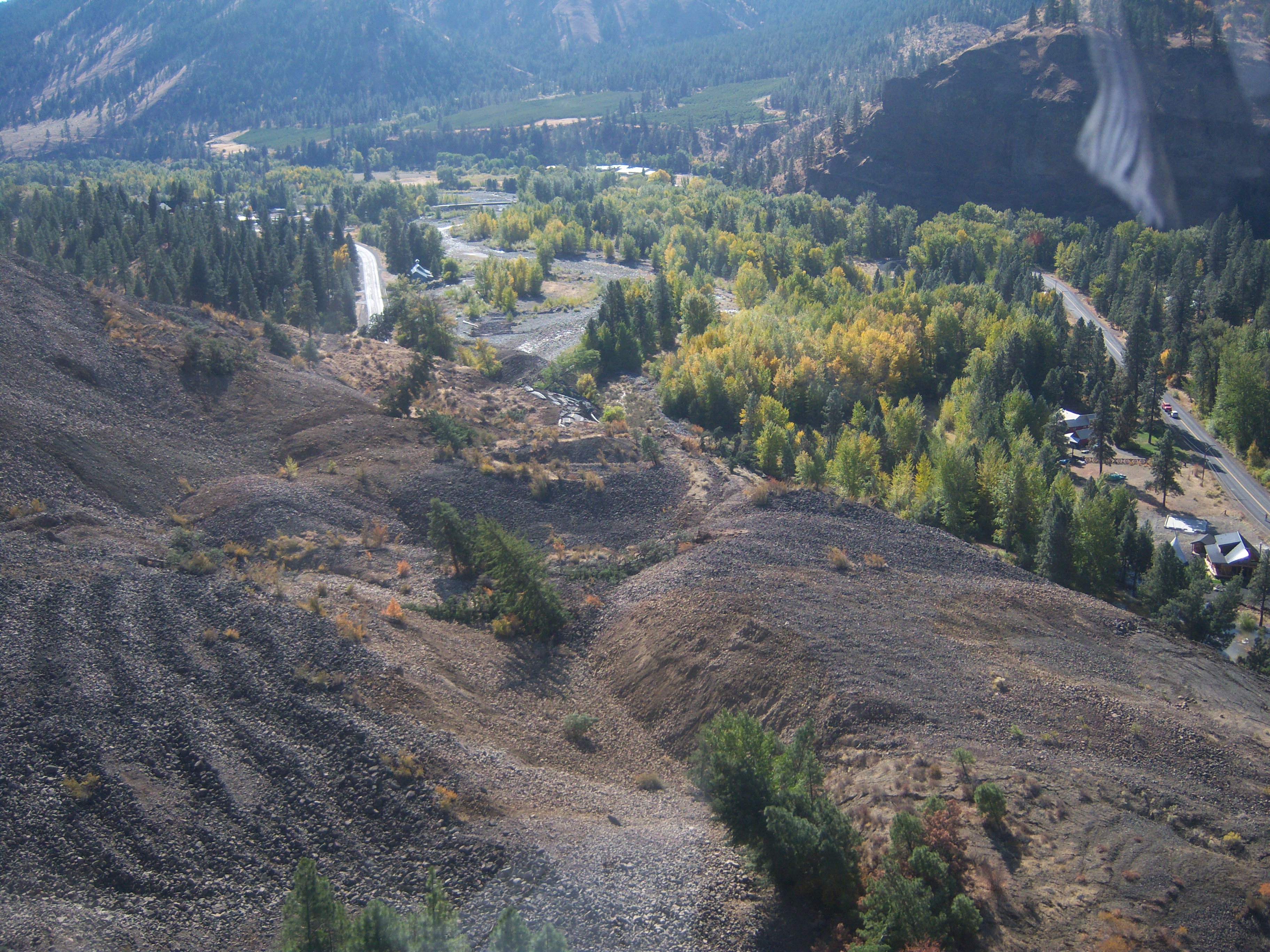
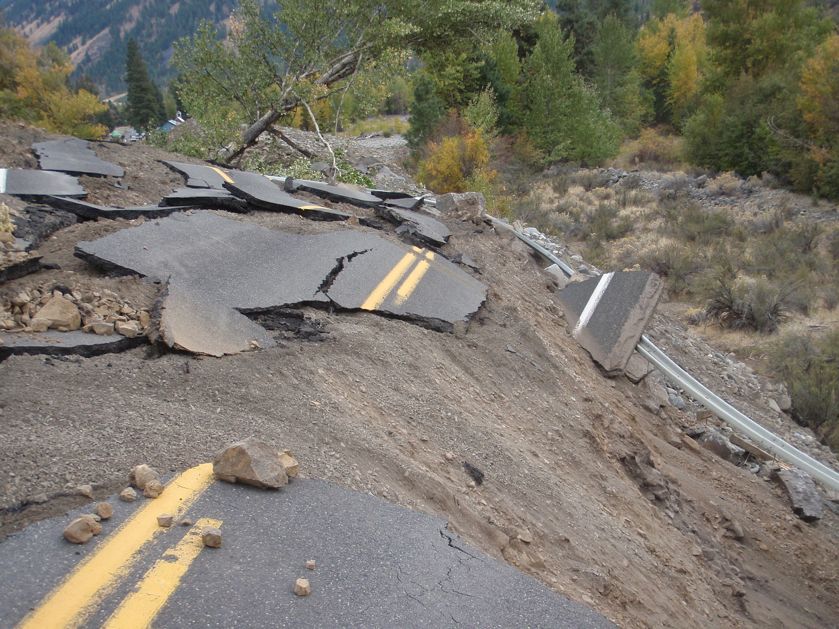
SR 410 Nile Valley Landslide - Oct. 2009
SR 410 Nile Valley Landslide - Oct. 2009
SR 410 Nile Valley Landslide (west of Naches)
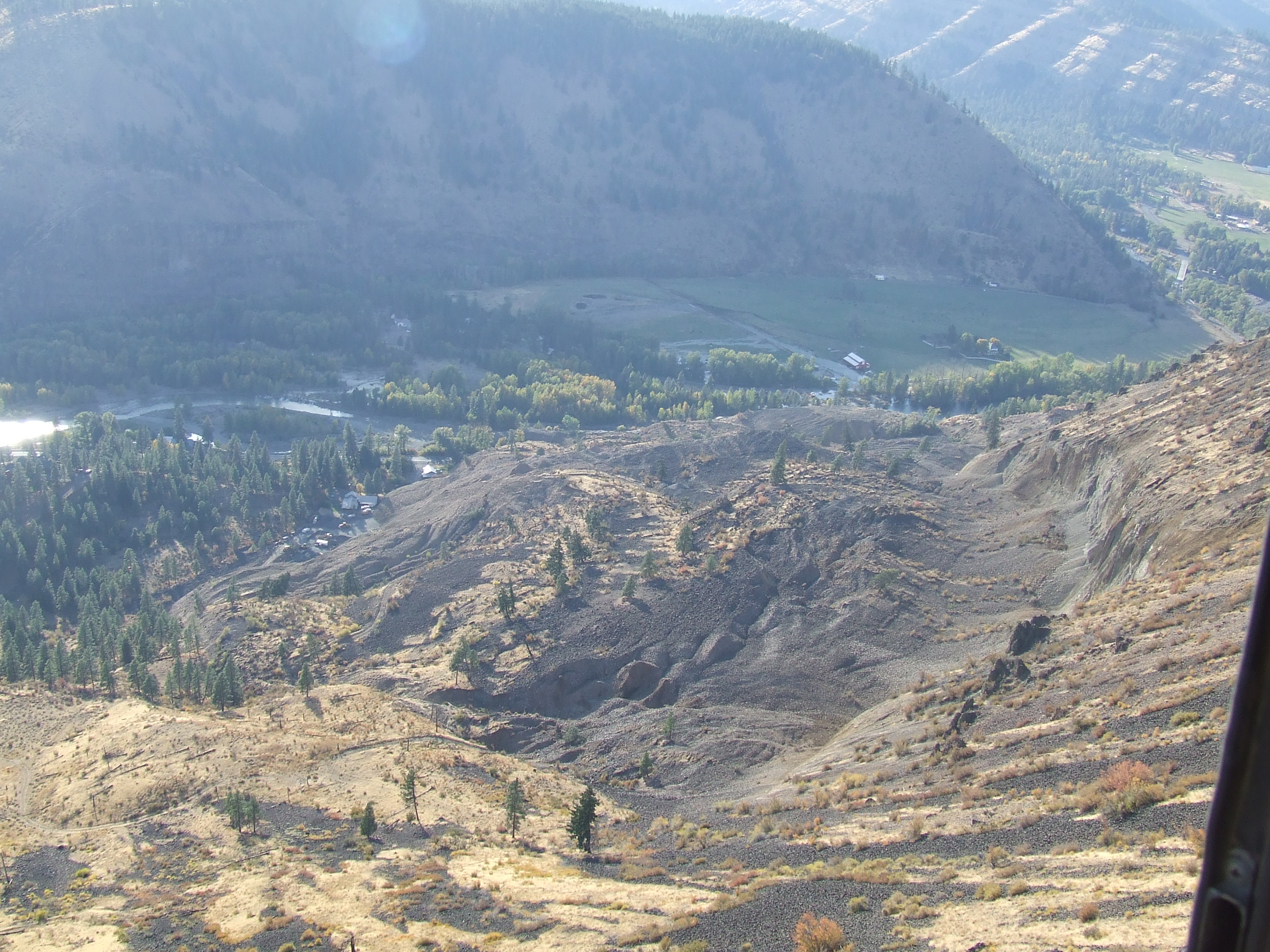
Nile Landslide Northeast View
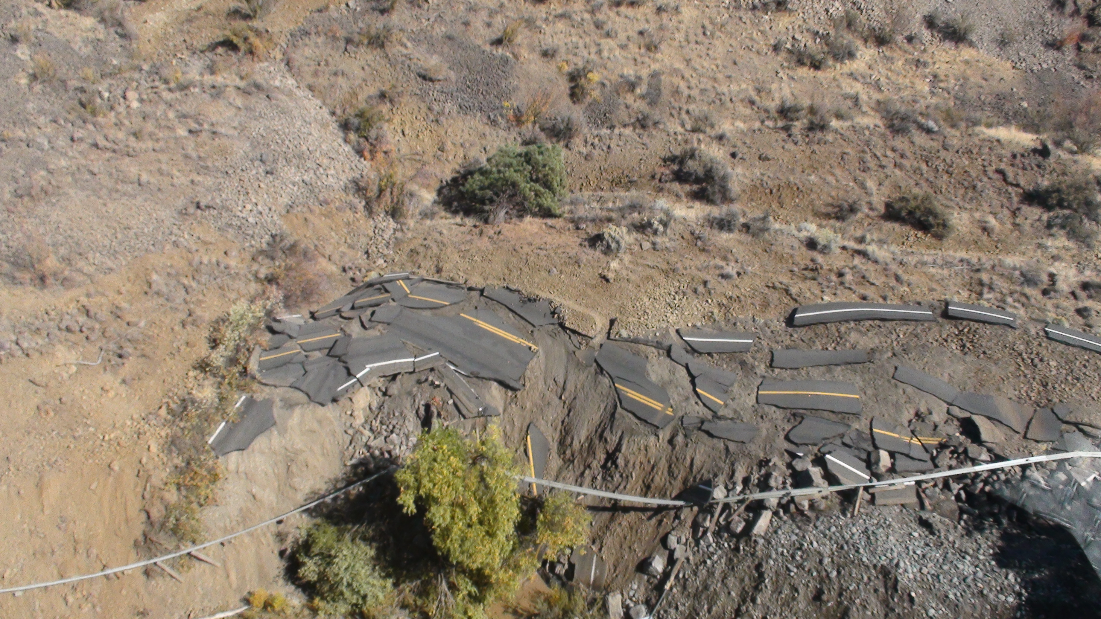
SR 410 Nile Valley Landslide (west of Naches)
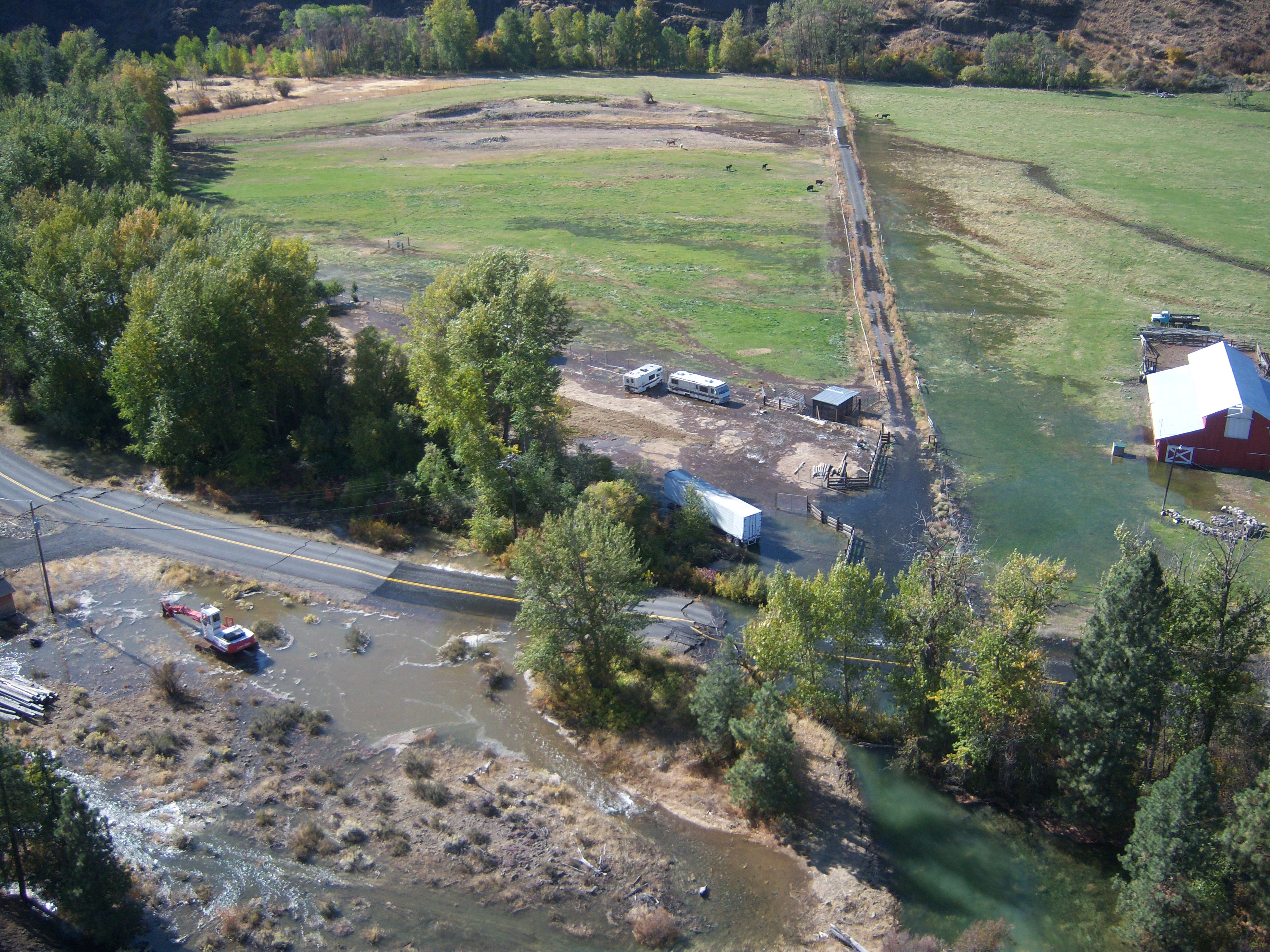
SR 410 Nile Valley Landslide (west of Naches)
SR 410 Nile Valley Landslide - Oct. 2009
SR 410 Nile Valley Landslide (west of Naches)

SR 410 Nile Valley Landslide - Oct. 2009
My view from the garage work bench while I finish up a project at the cabin. #nofilters
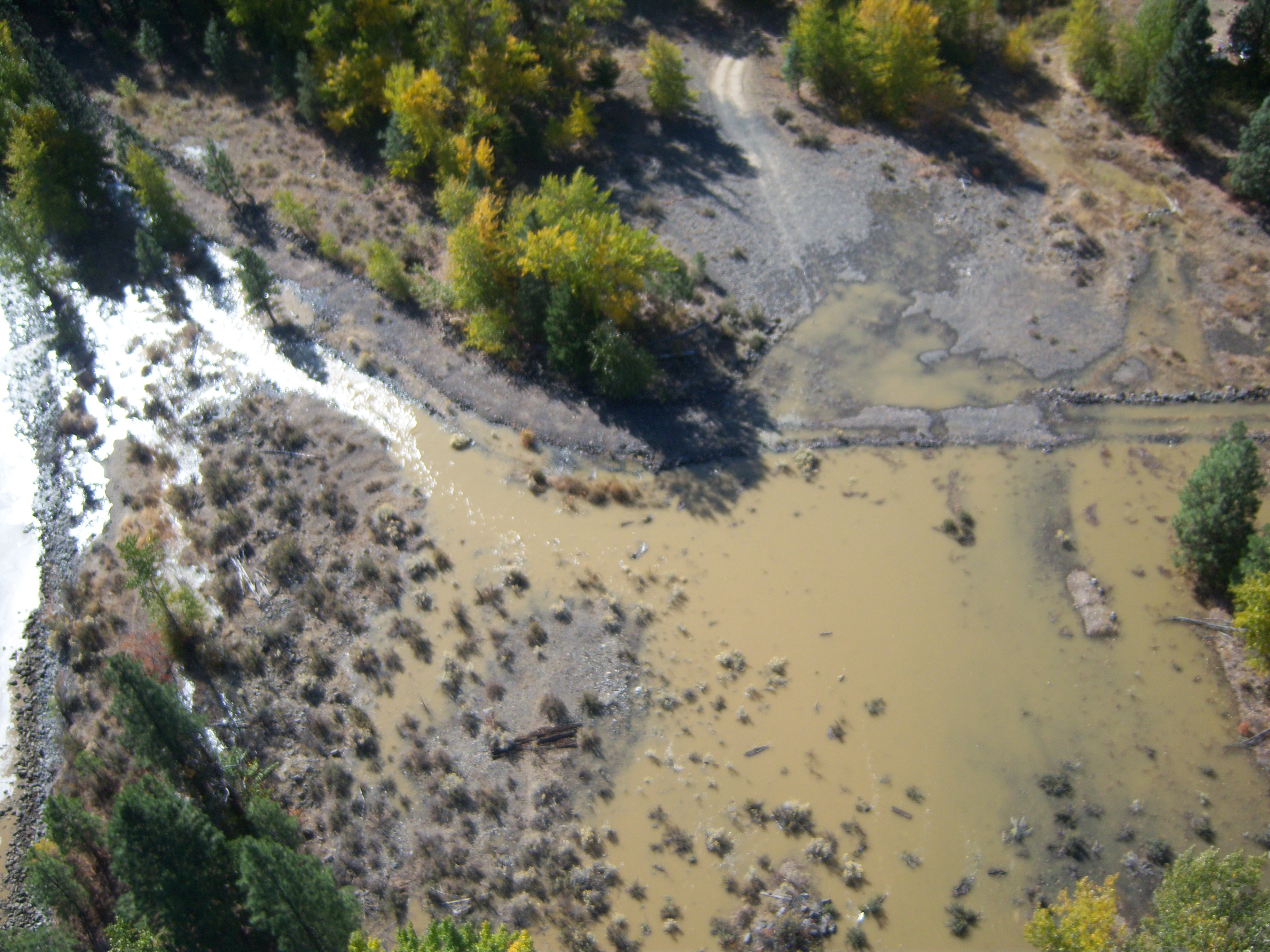
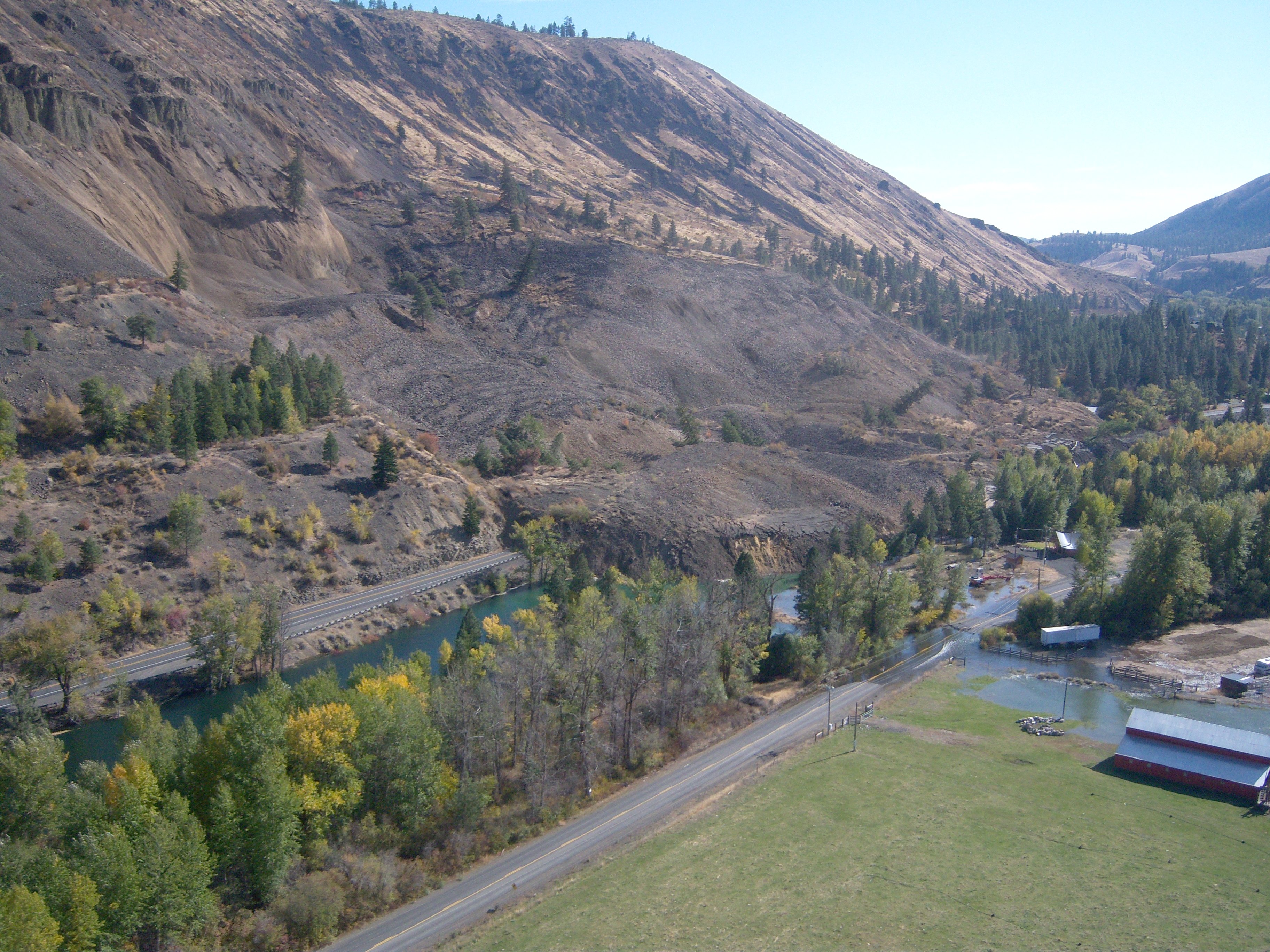
SR 410 Nile Valley Landslide (west of Naches)

SR 410 Nile Valley Landslide - Oct. 2009
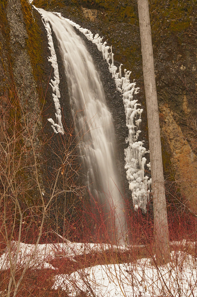
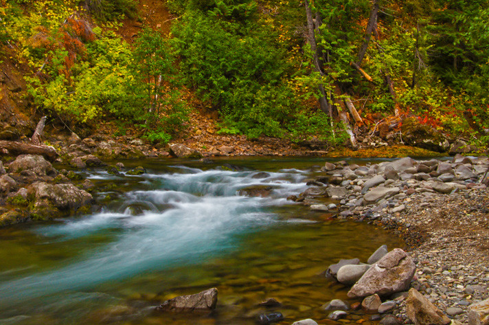
Water and Ice
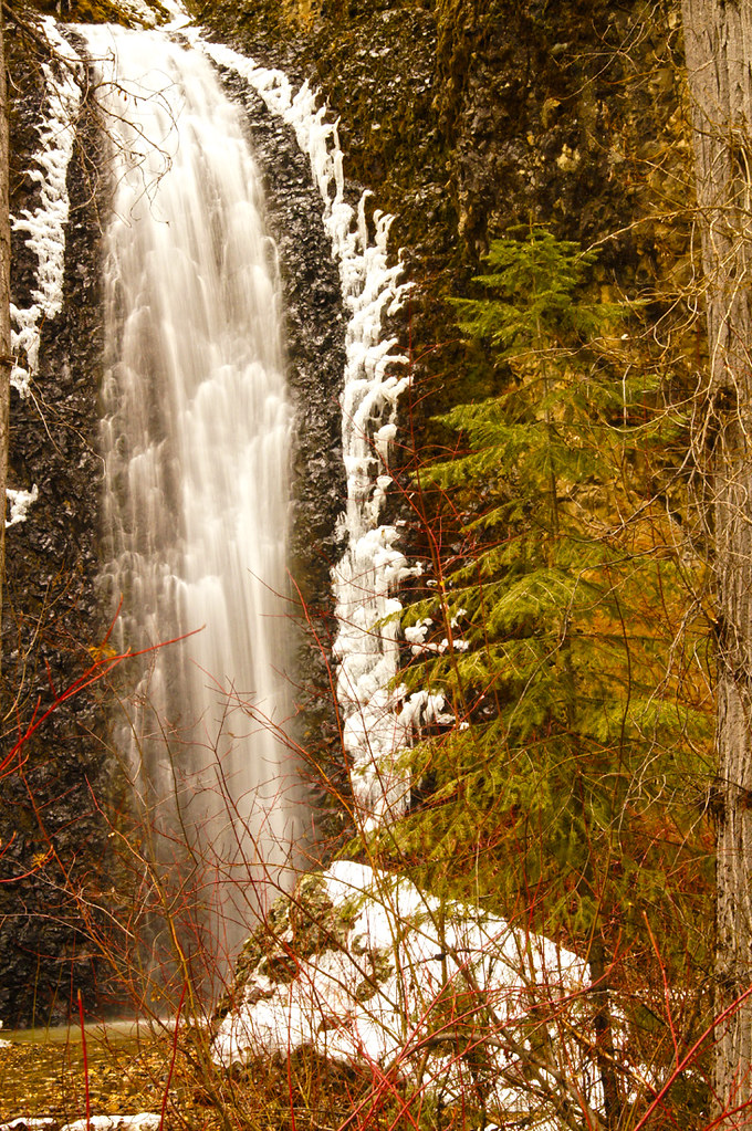
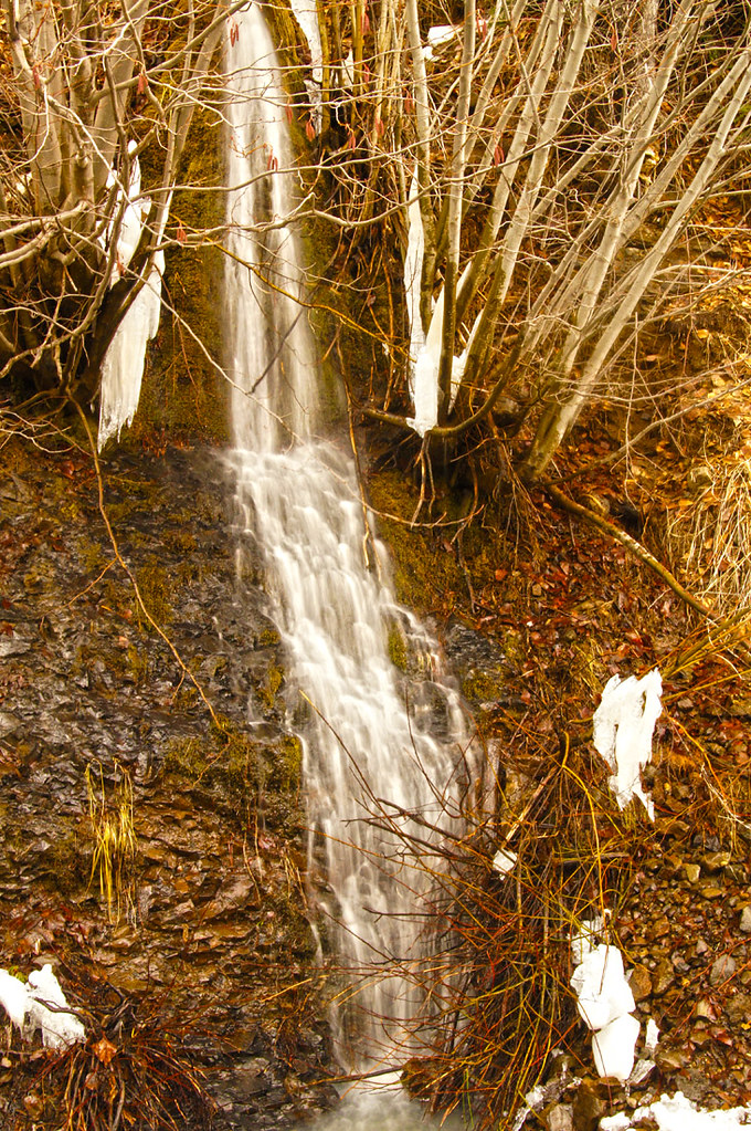
Horsetail Falls (Little Naches River)
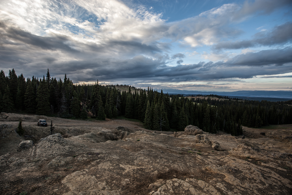
2013.06.23 - Wenatchee
2013.06.23 - Wenatchee
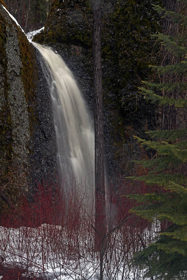
Horsetail Falls
Another day at Horsetail Falls
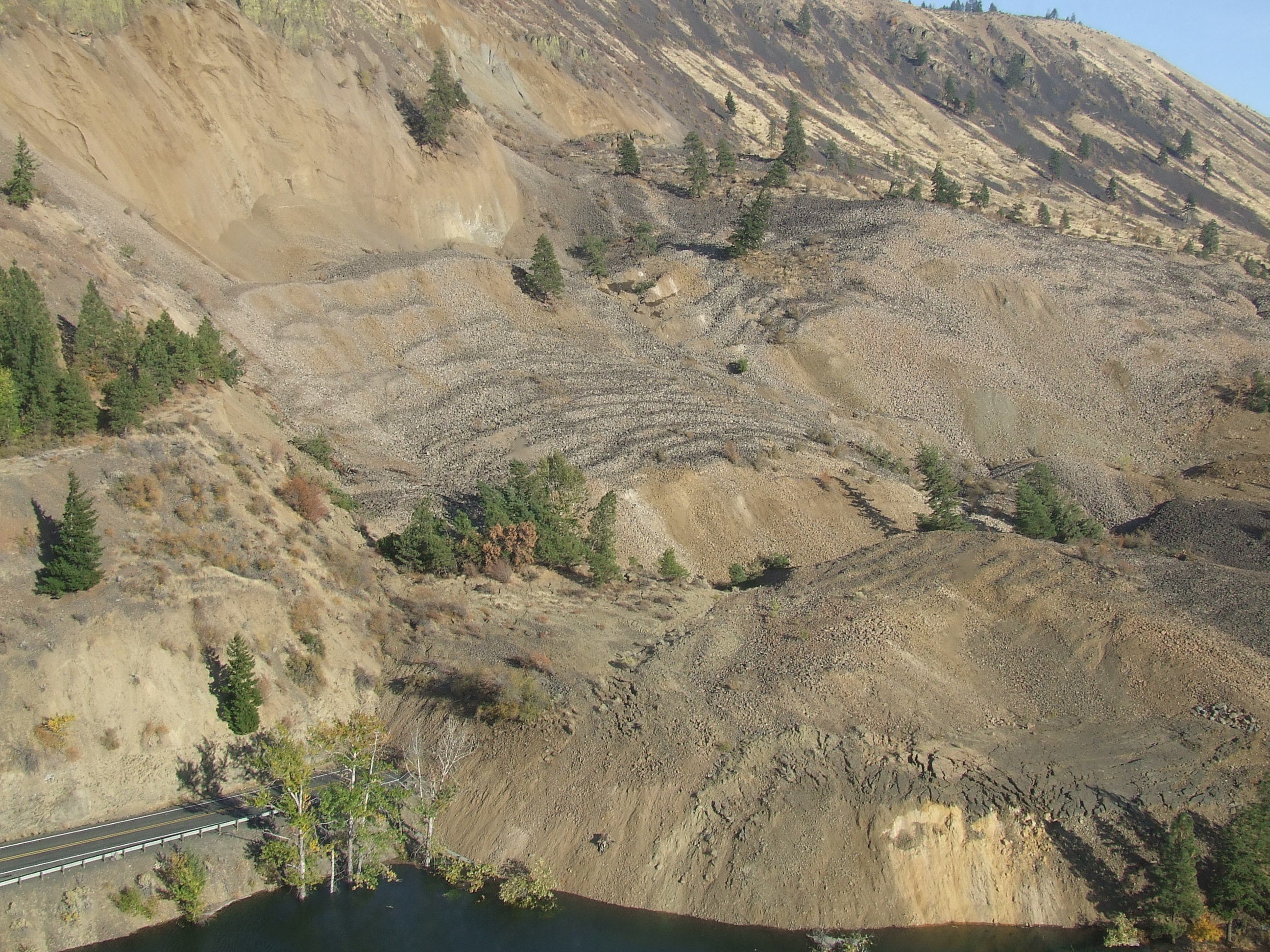
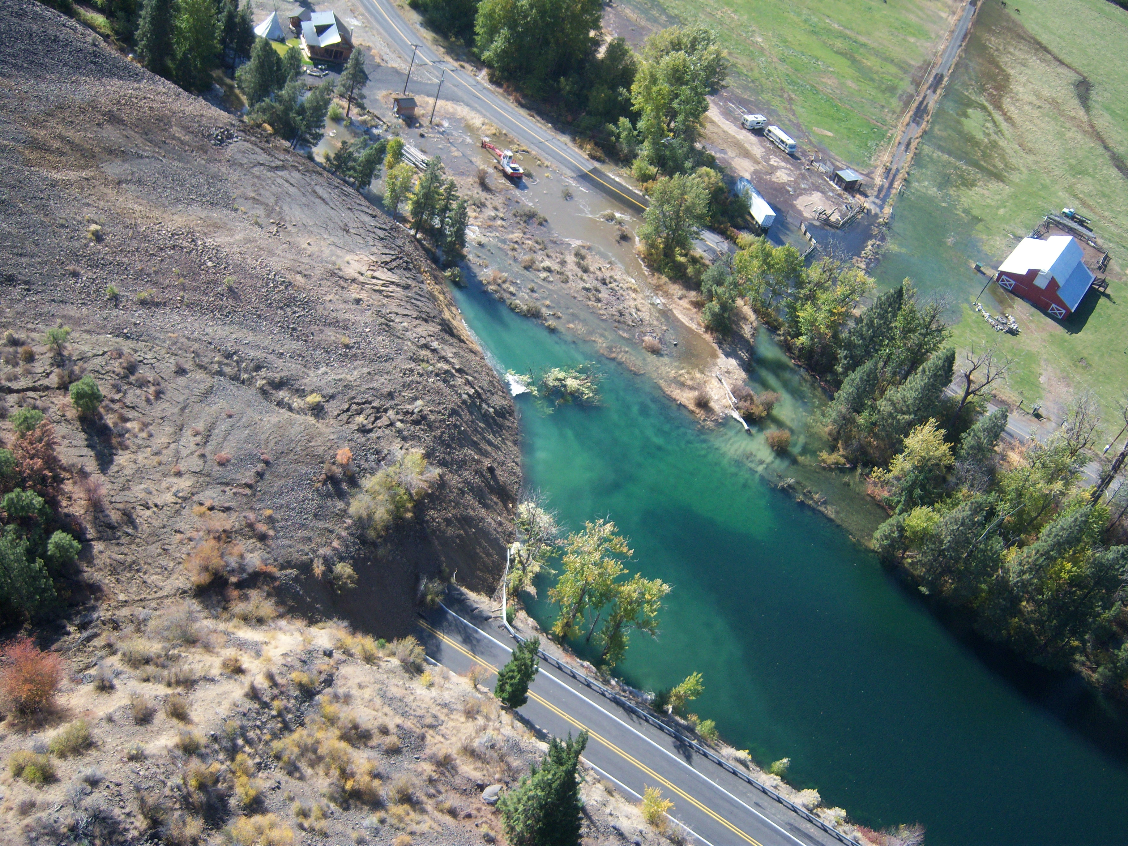
Western edge of the Nile Landslide
A touch of Fall

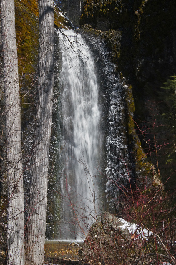
Bouder Cave Waterfall

2013.06.23 - Wenatchee
Trickle Down

Bouder Cave Waterfall

Angel Hair
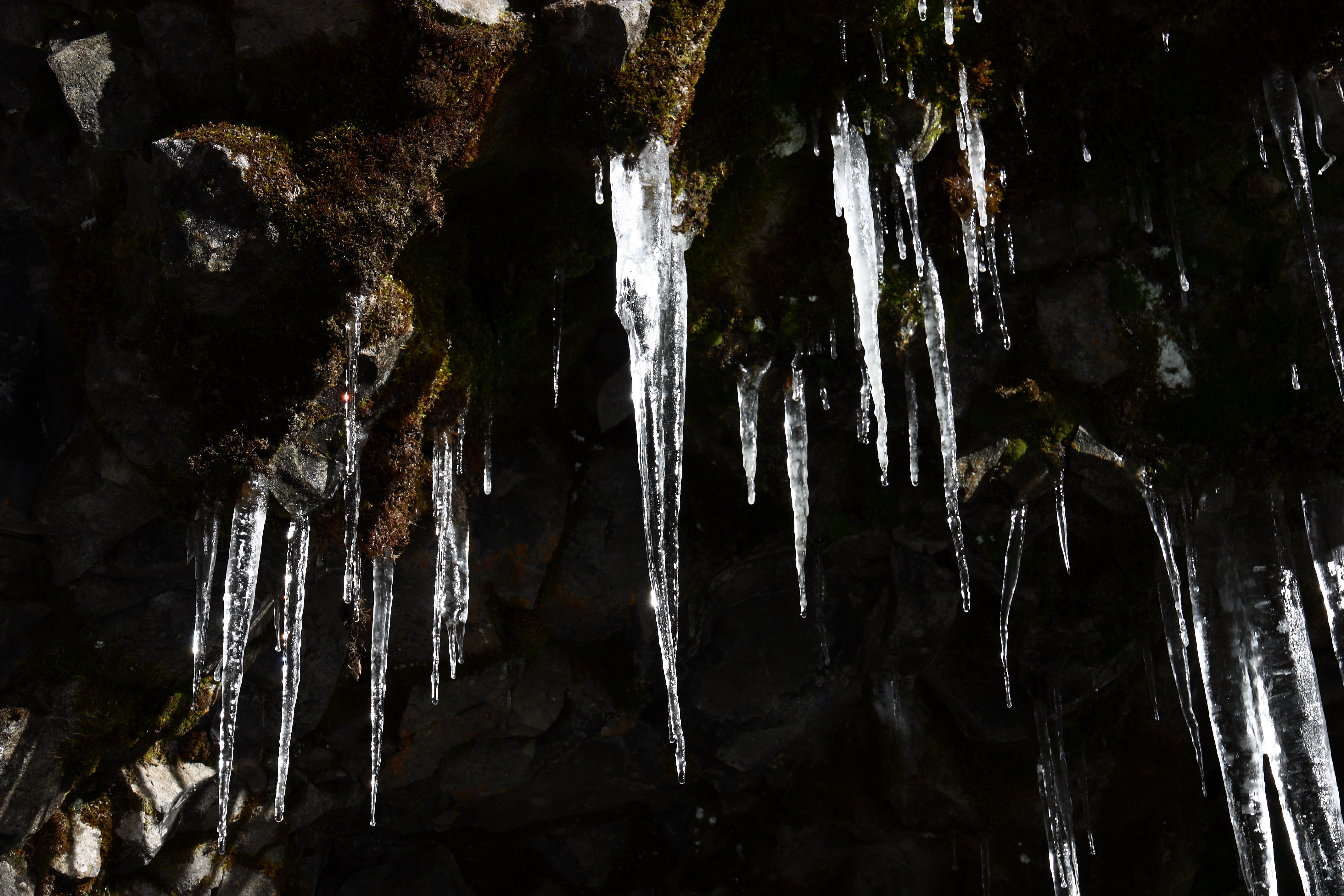
IMG_8803 Icicles

Ice cold pond
SR 410 Nile Valley Landslide (west of Naches)
Topographic Map of Cottonwood Campground, Naches, WA, USA
Find elevation by address:

Places near Cottonwood Campground, Naches, WA, USA:
81 Pine Cliff Dr, Union Gap, WA, USA
80 Wapiti Run Ln
80 Wapiti Run Ln
80 Wapiti Run Ln
80 Wapiti Run Ln
80 Wapiti Run Ln
80 Wapiti Run Ln
98937 Wa-410
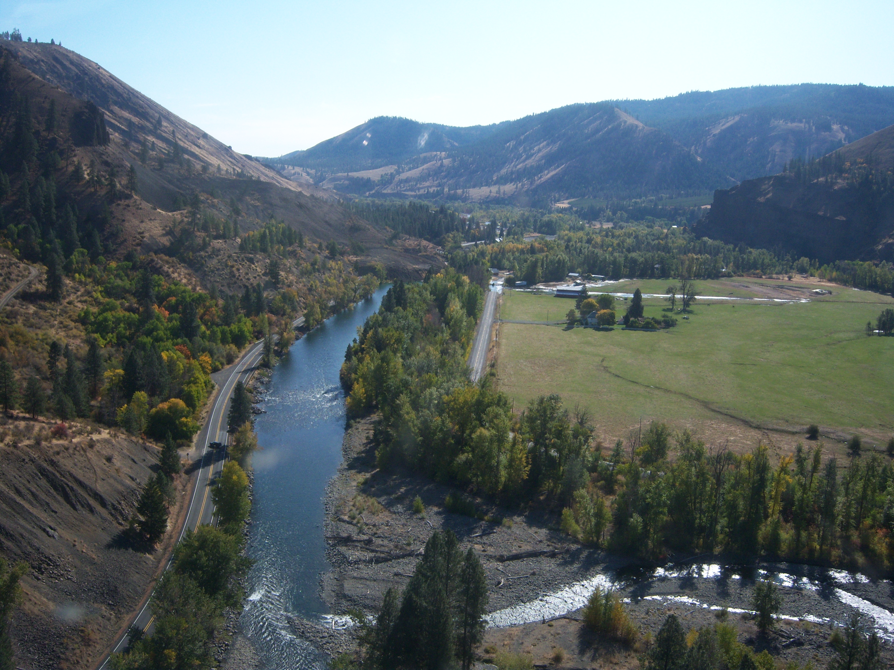
American River
Old Scab Mountain
Goose Prairie
2700 Mohar Rd
Fifes Ridge East
526 Marie Rd
Golf Course Rd, Cle Elum, WA, USA
South Cle Elum
2381 Nelson Siding Rd
Rimrock Lake
Cle Elum
661 Heron Dr
Recent Searches:
- Elevation of Lampiasi St, Sarasota, FL, USA
- Elevation of Elwyn Dr, Roanoke Rapids, NC, USA
- Elevation of Congressional Dr, Stevensville, MD, USA
- Elevation of Bellview Rd, McLean, VA, USA
- Elevation of Stage Island Rd, Chatham, MA, USA
- Elevation of Shibuya Scramble Crossing, 21 Udagawacho, Shibuya City, Tokyo -, Japan
- Elevation of Jadagoniai, Kaunas District Municipality, Lithuania
- Elevation of Pagonija rock, Kranto 7-oji g. 8"N, Kaunas, Lithuania
- Elevation of Co Rd 87, Jamestown, CO, USA
- Elevation of Tenjo, Cundinamarca, Colombia