Elevation of Old National Rd, Knightstown, IN, USA
Location: United States > Indiana > Henry County > Wayne Township > Knightstown >
Longitude: -85.512392
Latitude: 39.796301
Elevation: 280m / 919feet
Barometric Pressure: 98KPa
Elevation Map:
Satellite Map:
Related Photos:

Hoosier Gym Locker Room

CKSRR, near Carthage IN
CKSRR, Carthage IN

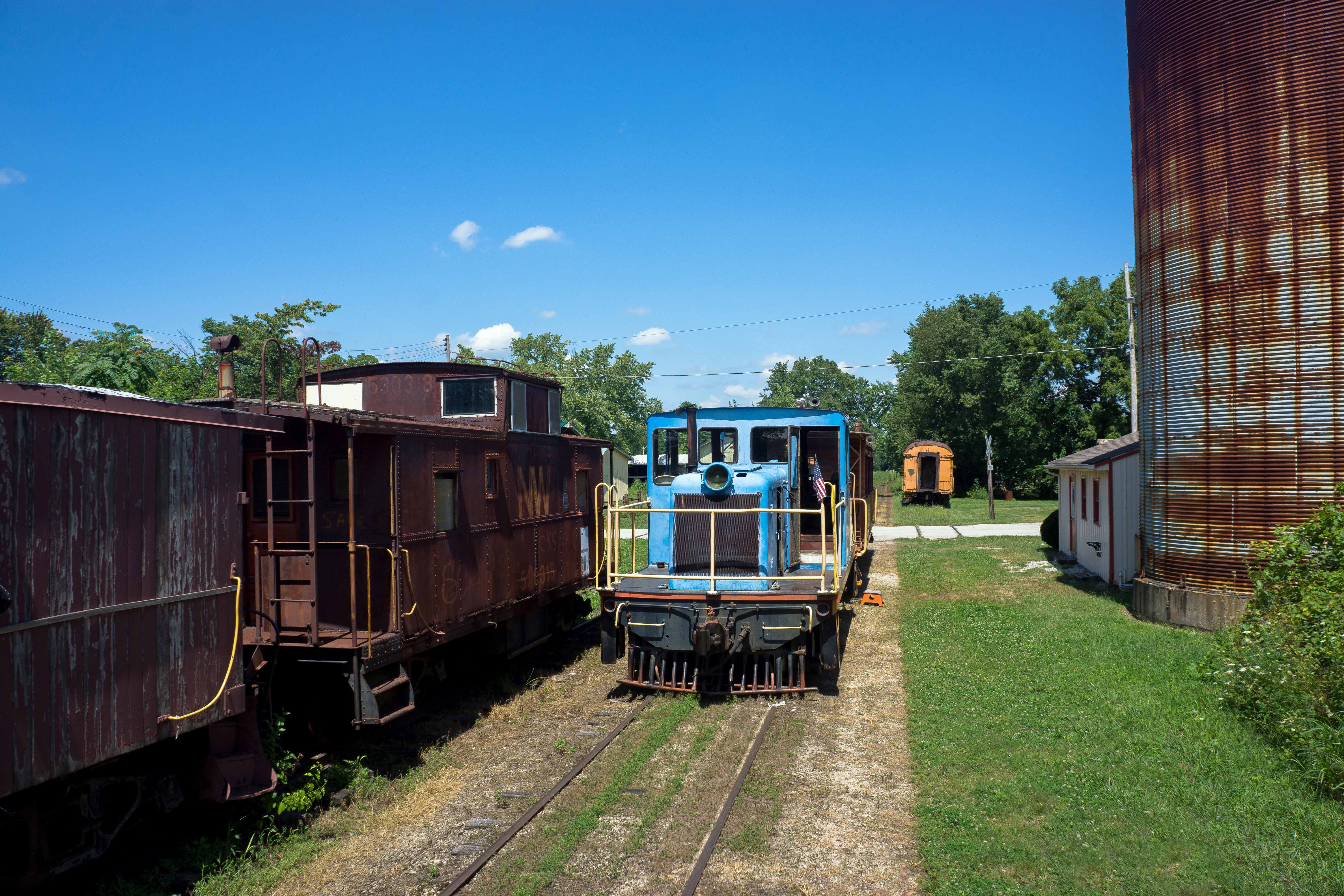
Bugs eye view of 45 tonner, Carthage IN

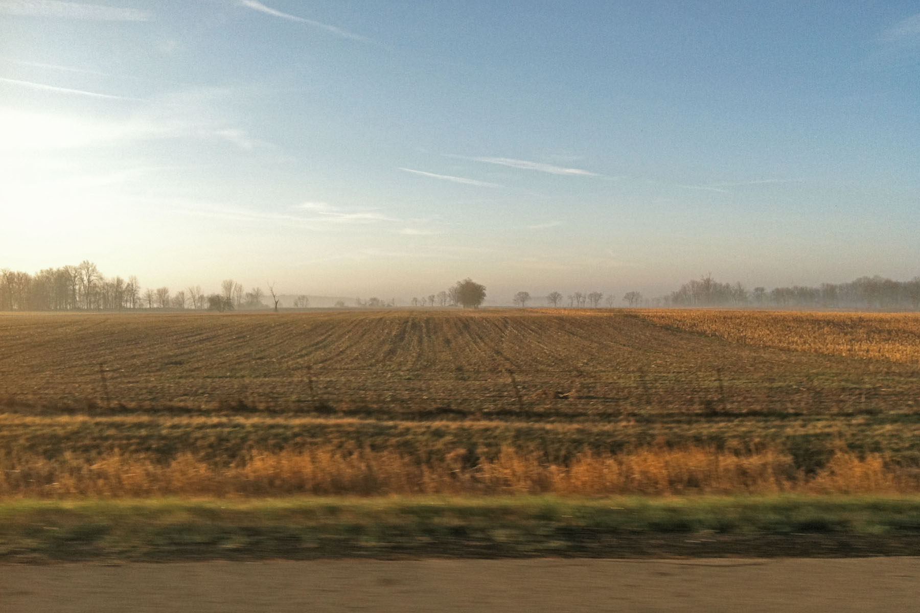
Beautiful sunset on our way back to Ohio!

Little Blue Ball On A Big Blue Ball

It only takes a spark ...

Fire in the sky!
Moving from Burlington, IA to Ephrata, PA

Fire in the sky
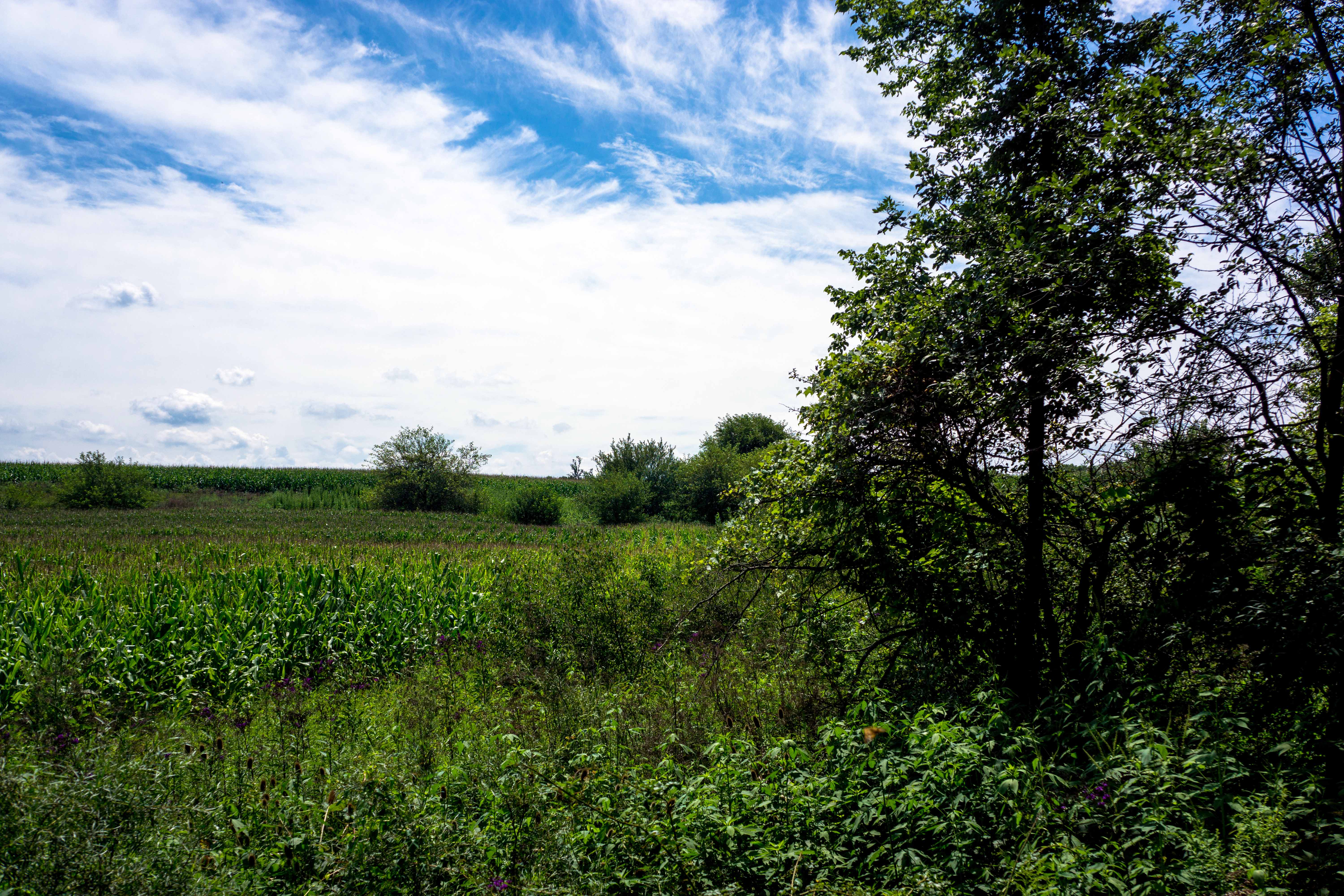
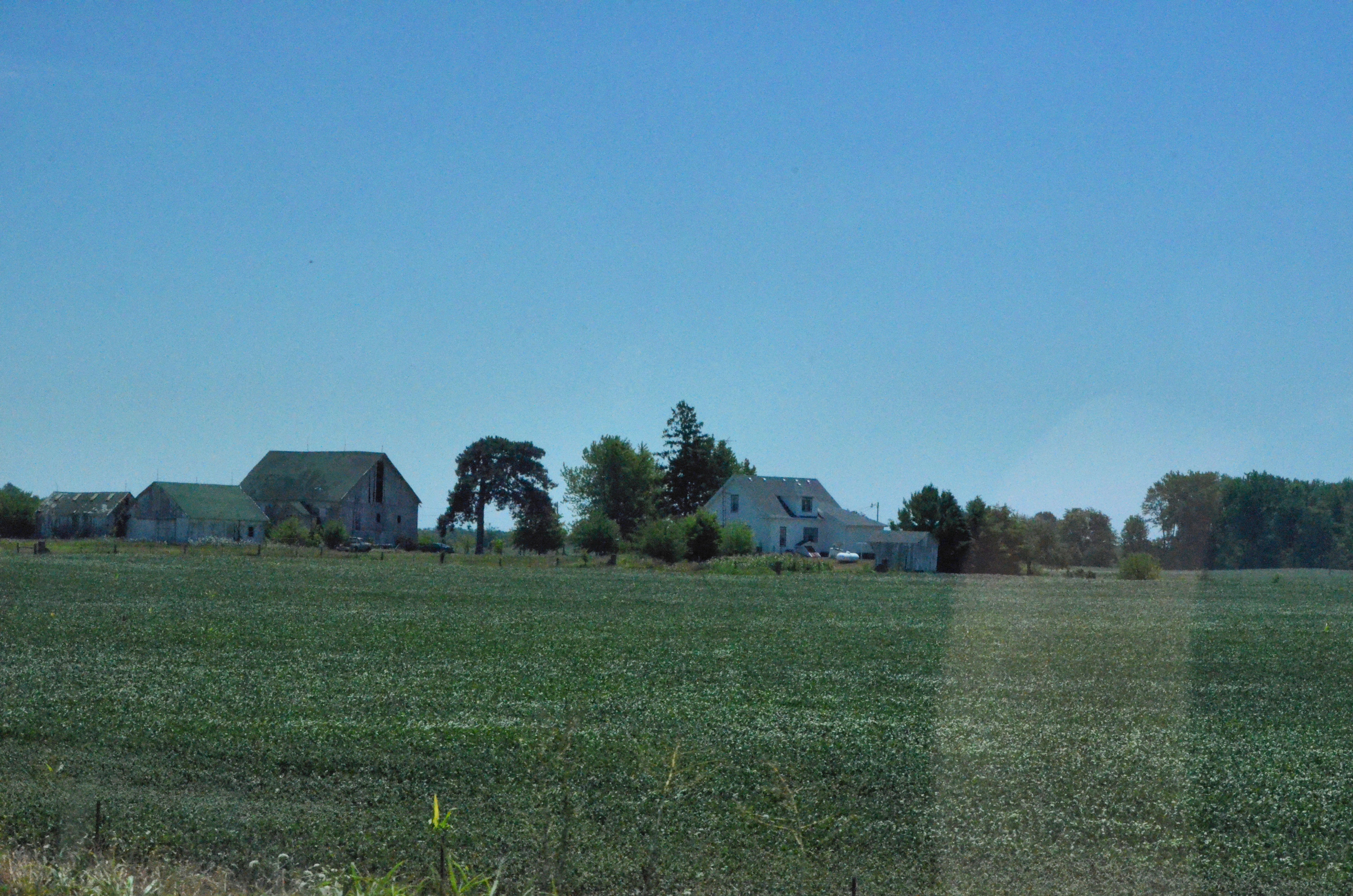
Summer Day, Indiana
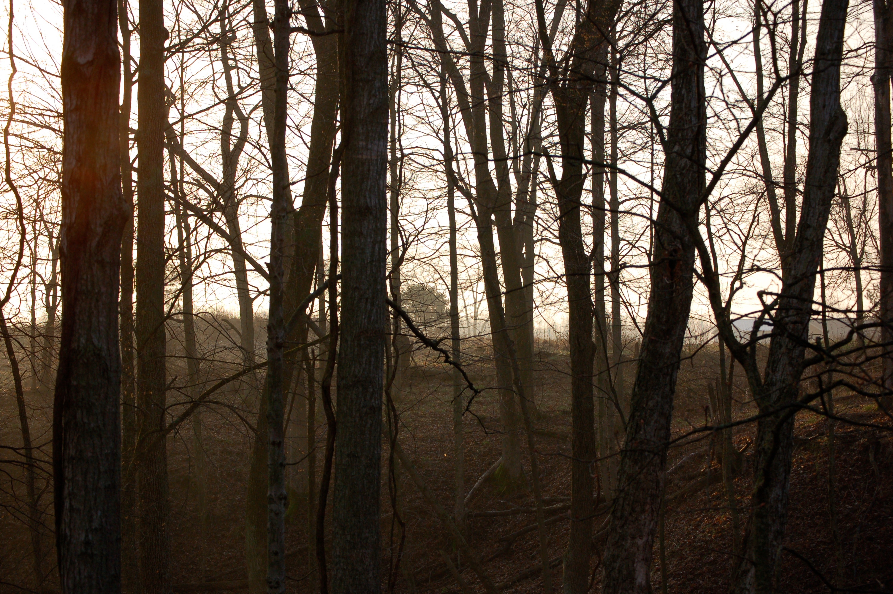
Mist Through Trees
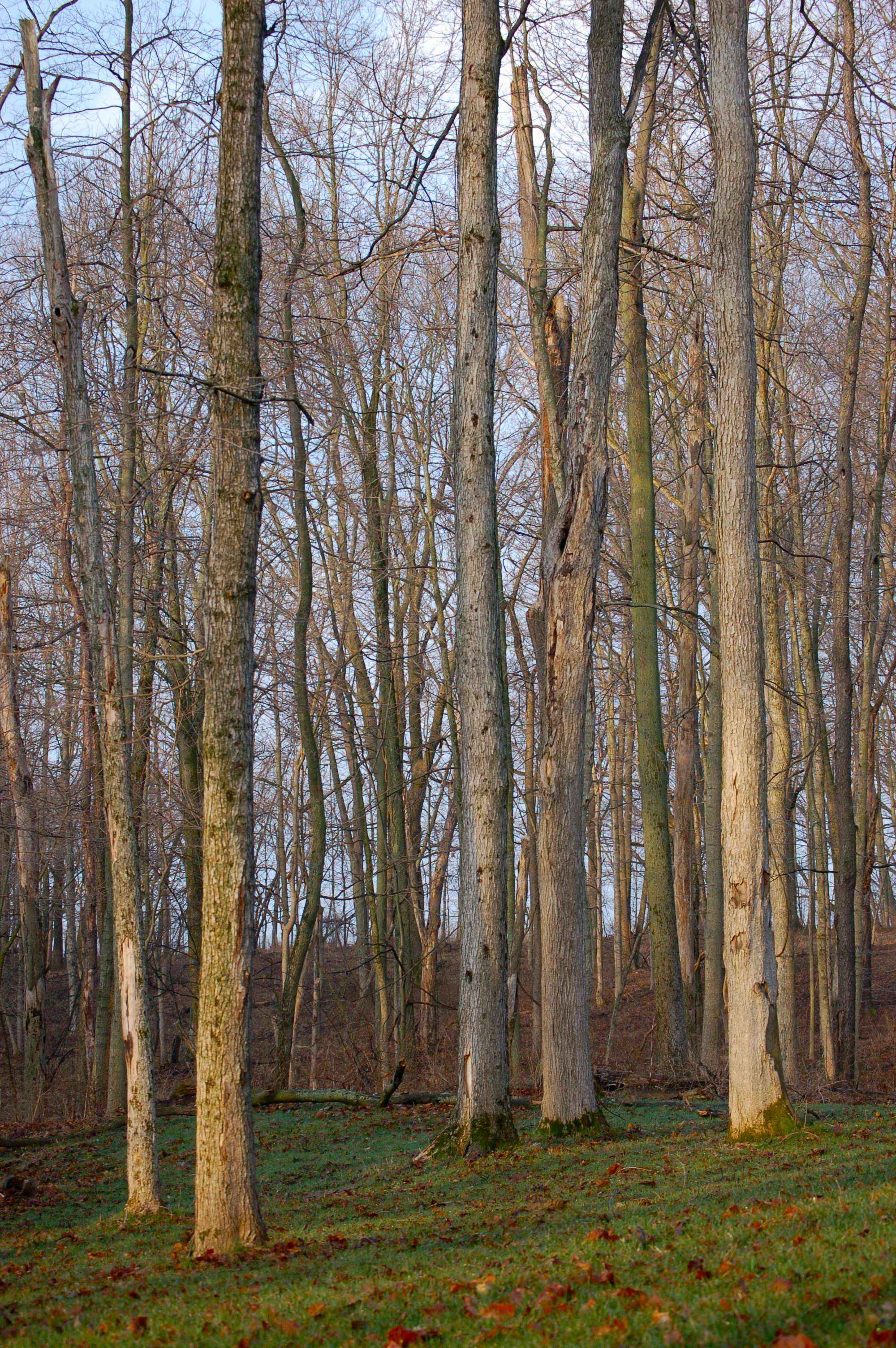
Trees at Sunrise
2012-07-21 (19) from West Layfayette IN to Ohio

2015 apprenticeship from Sarah
Topographic Map of Old National Rd, Knightstown, IN, USA
Find elevation by address:

Places near Old National Rd, Knightstown, IN, USA:
Knightstown
36 E Main St, Knightstown, IN, USA
11367 N Carthage Pike
Wayne Township
Spiceland Township
Center Township
S Grant City Rd, Shirley, IN, USA
508 N Main St
N Main St, Carthage, IN, USA
Ripley Township
Carthage
Spiceland
E Main St, Spiceland, IN, USA
Greensboro Township
Mill St, Greensboro, IN, USA
Greensboro
E N, Mays, IN, USA
Mays
27 E North St, Charlottesville, IN, USA
Main St, Shirley, IN, USA
Recent Searches:
- Elevation of Elwyn Dr, Roanoke Rapids, NC, USA
- Elevation of Congressional Dr, Stevensville, MD, USA
- Elevation of Bellview Rd, McLean, VA, USA
- Elevation of Stage Island Rd, Chatham, MA, USA
- Elevation of Shibuya Scramble Crossing, 21 Udagawacho, Shibuya City, Tokyo -, Japan
- Elevation of Jadagoniai, Kaunas District Municipality, Lithuania
- Elevation of Pagonija rock, Kranto 7-oji g. 8"N, Kaunas, Lithuania
- Elevation of Co Rd 87, Jamestown, CO, USA
- Elevation of Tenjo, Cundinamarca, Colombia
- Elevation of Côte-des-Neiges, Montreal, QC H4A 3J6, Canada