Elevation of Main St, Shirley, IN, USA
Location: United States > Indiana > Hancock County > Brown Township > Shirley >
Longitude: -85.576944
Latitude: 39.891866
Elevation: 314m / 1030feet
Barometric Pressure: 98KPa
Elevation Map:
Satellite Map:
Related Photos:

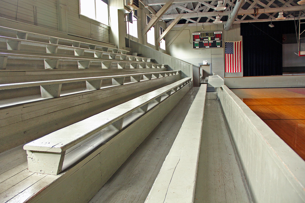
Hoosier Gym Locker Room

CKSRR, near Carthage IN
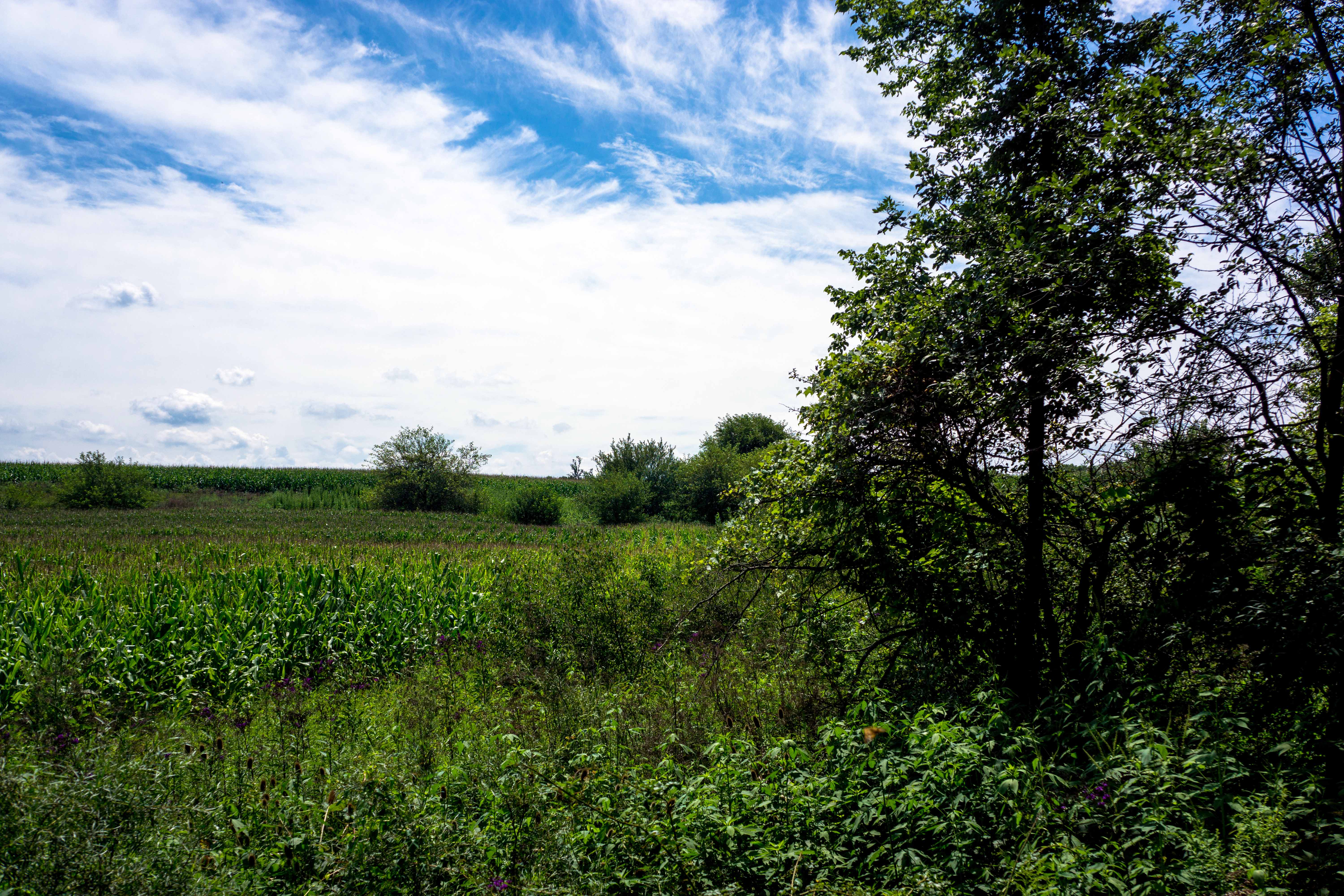
Summer Day, Indiana

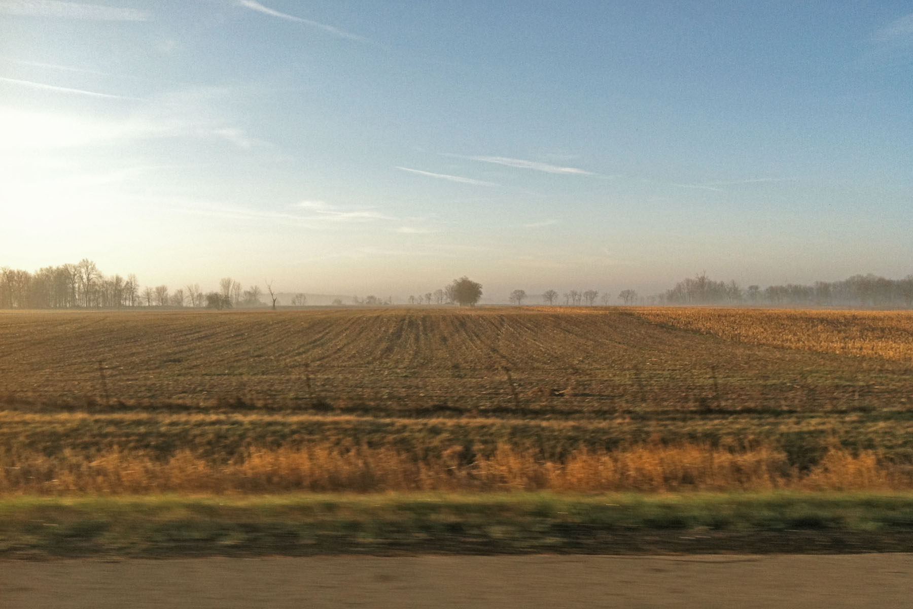
Beautiful sunset on our way back to Ohio!

☀☁
Moving from Burlington, IA to Ephrata, PA
2012-07-21 (19) from West Layfayette IN to Ohio

2016-08-01_09-17-35

All Photos-1987
Celebrating March Madness

from @cushman_vapes - Handcheck tvl colt 45, av modfather, and fresh jive tweaker #handcheck #tvlcolt45 #brassmod #avidlyfe #modfather #freshjivejuice #keepcalmandvapeon #vape #vapelyfe #vapelife #vapeon @docpheelgood_tvl @budtat2 @bri_tard_ @thevape

Markleville IN Police - Ford Crown Victoria

Action in Hoosier Gym

Darien Stone- Taylor HS

Mississinewa vs Taylor at Hoosier Gym

Tip Off at Hoosier Gym
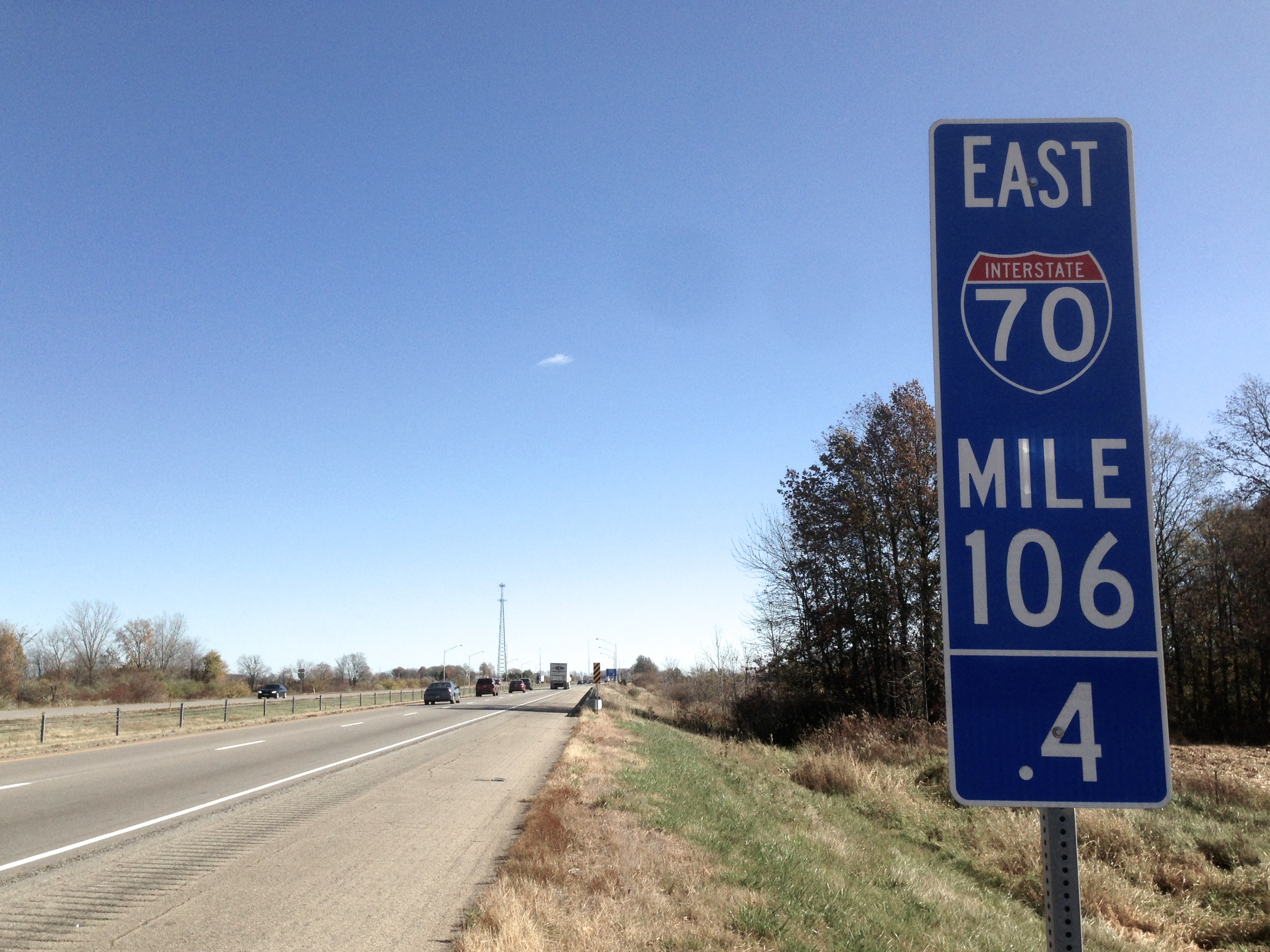
I-17 is DS106 .4life
Topographic Map of Main St, Shirley, IN, USA
Find elevation by address:

Places near Main St, Shirley, IN, USA:
Shirley
Wilkinson
S Main St, Wilkinson, IN, USA
S Grant City Rd, Shirley, IN, USA
Greensboro Township
Wayne Township
27 E North St, Charlottesville, IN, USA
N Main St, Willow Branch, IN, USA
Willow Branch
36 E Main St, Knightstown, IN, USA
Knightstown
Mill St, Greensboro, IN, USA
Greensboro
Old National Rd, Knightstown, IN, USA
11367 N Carthage Pike
Spiceland Township
Ripley Township
Spiceland
E Main St, Spiceland, IN, USA
508 N Main St
Recent Searches:
- Elevation of Congressional Dr, Stevensville, MD, USA
- Elevation of Bellview Rd, McLean, VA, USA
- Elevation of Stage Island Rd, Chatham, MA, USA
- Elevation of Shibuya Scramble Crossing, 21 Udagawacho, Shibuya City, Tokyo -, Japan
- Elevation of Jadagoniai, Kaunas District Municipality, Lithuania
- Elevation of Pagonija rock, Kranto 7-oji g. 8"N, Kaunas, Lithuania
- Elevation of Co Rd 87, Jamestown, CO, USA
- Elevation of Tenjo, Cundinamarca, Colombia
- Elevation of Côte-des-Neiges, Montreal, QC H4A 3J6, Canada
- Elevation of Bobcat Dr, Helena, MT, USA