Elevation of Old Hwy 64, Columbia, NC, USA
Location: United States > North Carolina > Tyrrell County >
Longitude: -76.112342
Latitude: 35.913442
Elevation: 0m / 0feet
Barometric Pressure: 101KPa
Elevation Map:
Satellite Map:
Related Photos:

Crossing the Alligator River, U.S. 64, North Carolina

no bed of roses

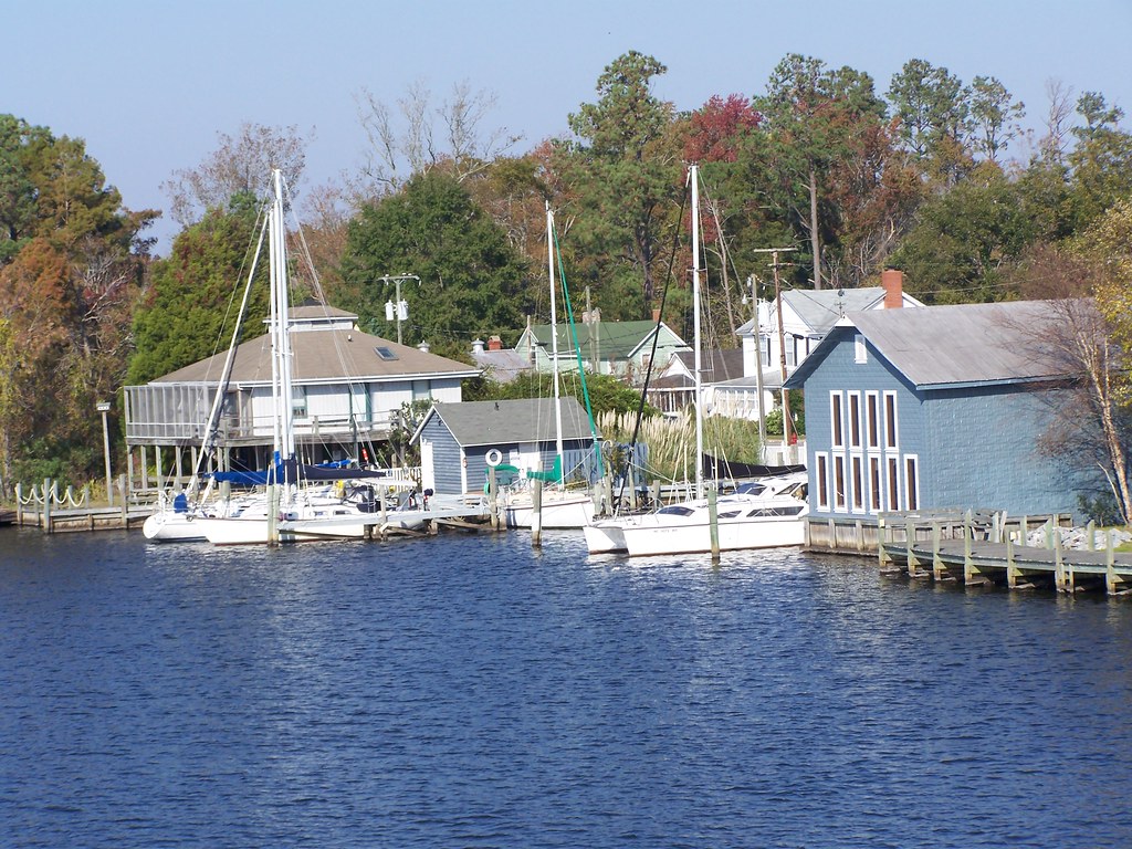
Alligator River bridge

Smitten forum 2

Smitten forum 2
Smitten forum 2

Smitten forum 2
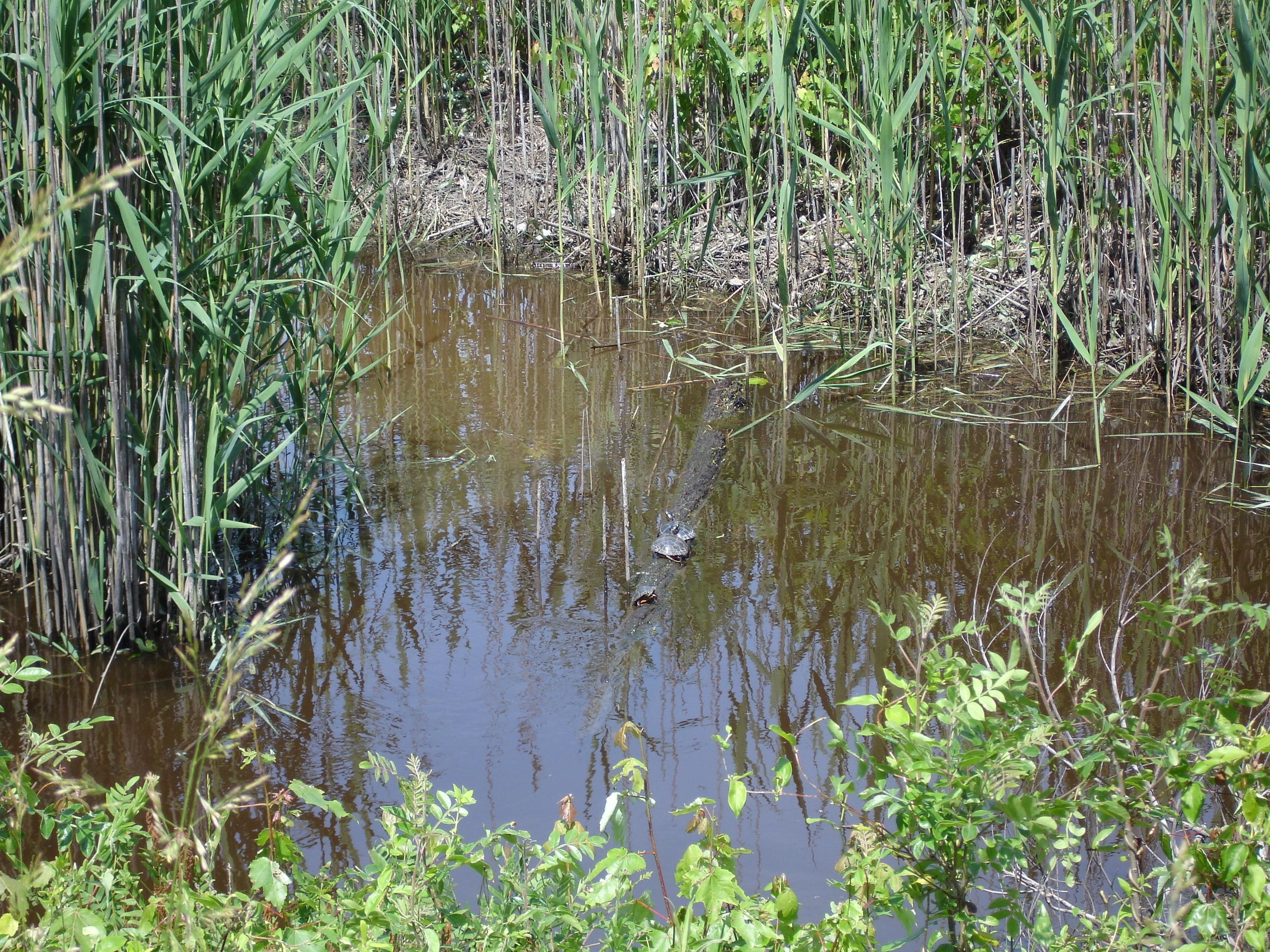
Alligator River Wildlife Refuge

Smitten forum 2

Water!
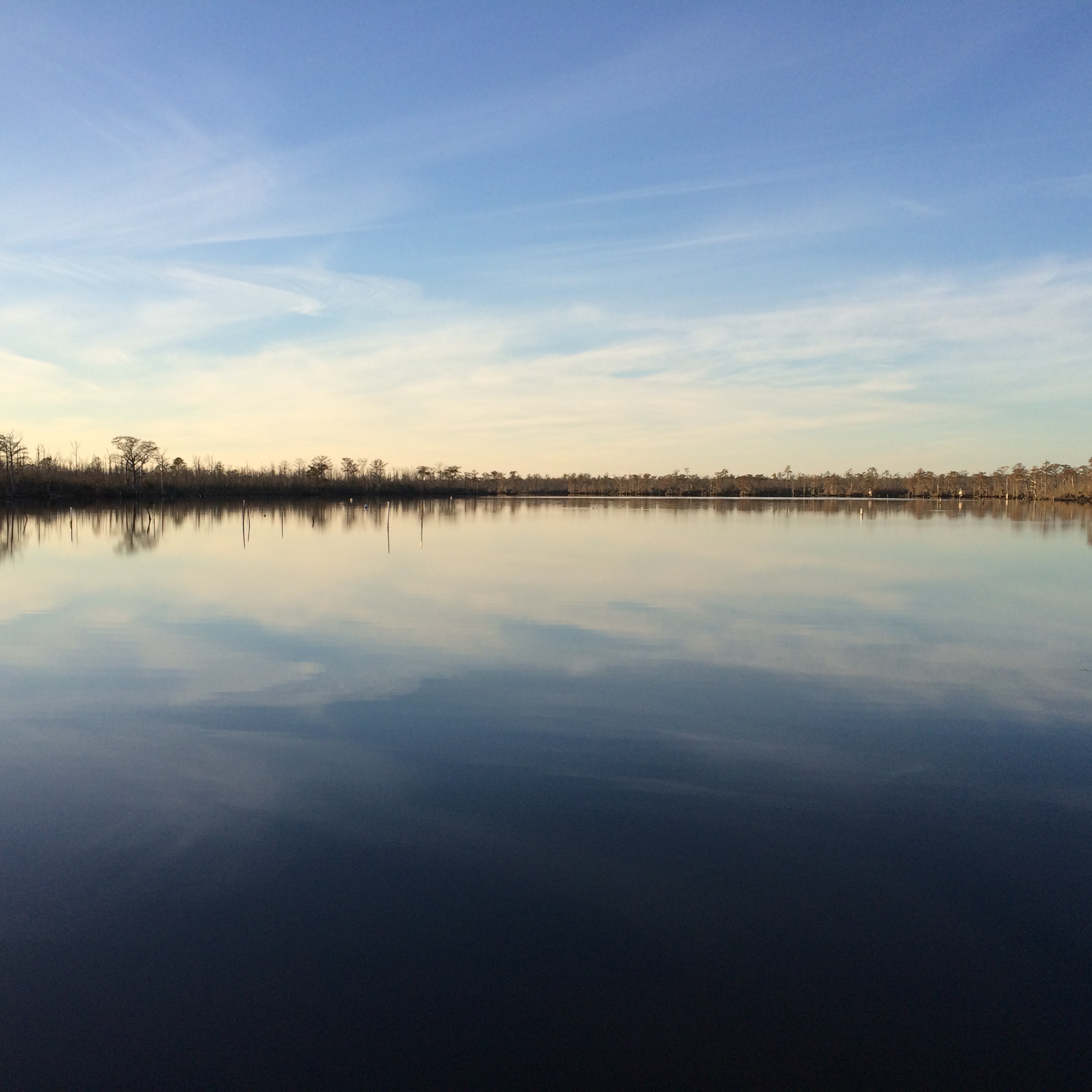
Scuppernong River
Topographic Map of Old Hwy 64, Columbia, NC, USA
Find elevation by address:

Places near Old Hwy 64, Columbia, NC, USA:
Tyrrell County
Mill's Rd, Columbia, NC, USA
20 Albemarle Shore Ext
6713 Sound Side Rd
123 Lasseters Landing
415 Virginia Ave
Columbia
Columbia
East Lake
US-64, Manns Harbor, NC, USA
Gum Neck
3970 Newlands Rd
2813 N Gum Neck Rd
Gum Neck
East Lake
6338 Newlands Rd
Reek Road
171 Royal Tern Way
Travis School Rd, Columbia, NC, USA
147 Royal Tern Way
Recent Searches:
- Elevation of N, Mt Pleasant, UT, USA
- Elevation of 6 Rue Jules Ferry, Beausoleil, France
- Elevation of Sattva Horizon, 4JC6+G9P, Vinayak Nagar, Kattigenahalli, Bengaluru, Karnataka, India
- Elevation of Great Brook Sports, Gold Star Hwy, Groton, CT, USA
- Elevation of 10 Mountain Laurels Dr, Nashua, NH, USA
- Elevation of 16 Gilboa Ln, Nashua, NH, USA
- Elevation of Laurel Rd, Townsend, TN, USA
- Elevation of 3 Nestling Wood Dr, Long Valley, NJ, USA
- Elevation of Ilungu, Tanzania
- Elevation of Yellow Springs Road, Yellow Springs Rd, Chester Springs, PA, USA