Elevation of Gum Neck, NC, USA
Location: United States > North Carolina > Tyrrell County >
Longitude: -76.131995
Latitude: 35.7587445
Elevation: 0m / 0feet
Barometric Pressure: 101KPa
Elevation Map:
Satellite Map:
Related Photos:
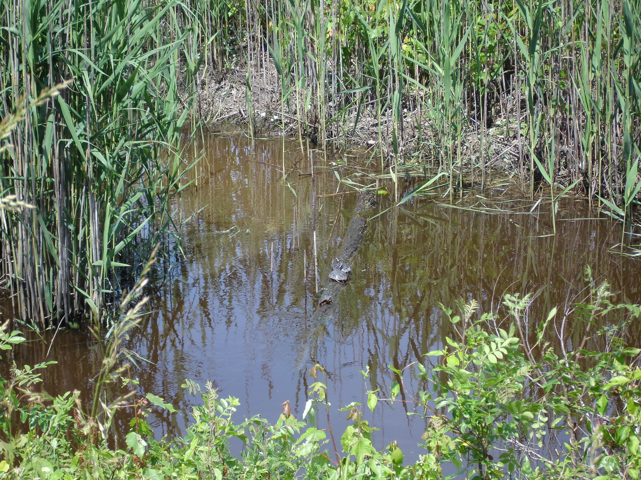
Alligator River Wildlife Refuge

Orion from the southern U.S.
Topographic Map of Gum Neck, NC, USA
Find elevation by address:

Places in Gum Neck, NC, USA:
Places near Gum Neck, NC, USA:
2813 N Gum Neck Rd
Gum Neck
Reek Road
Tyrrell County
Mill's Rd, Columbia, NC, USA
Old Hwy 64, Columbia, NC, USA
20 Albemarle Shore Ext
3970 Newlands Rd
6338 Newlands Rd
Dunbar Canal
East Lake
Columbia
415 Virginia Ave
Fairfield
East Lake
US-64, Manns Harbor, NC, USA
6713 Sound Side Rd
Columbia
Fairfield
Travis School Rd, Columbia, NC, USA
Recent Searches:
- Elevation of 7 Waterfall Way, Tomball, TX, USA
- Elevation of SW 57th Ave, Portland, OR, USA
- Elevation of Crocker Dr, Vacaville, CA, USA
- Elevation of Pu Ngaol Community Meeting Hall, HWHM+3X7, Krong Saen Monourom, Cambodia
- Elevation of Royal Ontario Museum, Queens Park, Toronto, ON M5S 2C6, Canada
- Elevation of Groblershoop, South Africa
- Elevation of Power Generation Enterprises | Industrial Diesel Generators, Oak Ave, Canyon Country, CA, USA
- Elevation of Chesaw Rd, Oroville, WA, USA
- Elevation of N, Mt Pleasant, UT, USA
- Elevation of 6 Rue Jules Ferry, Beausoleil, France