Elevation of Old Hospital Rd, Bashdahar, Hailakandi, Assam, India
Location: India > Assam > Hailakandi > Narainpur Pt V > Bashdahar >
Longitude: 92.5609168
Latitude: 24.6843691
Elevation: 30m / 98feet
Barometric Pressure: 101KPa
Elevation Map:
Satellite Map:
Related Photos:
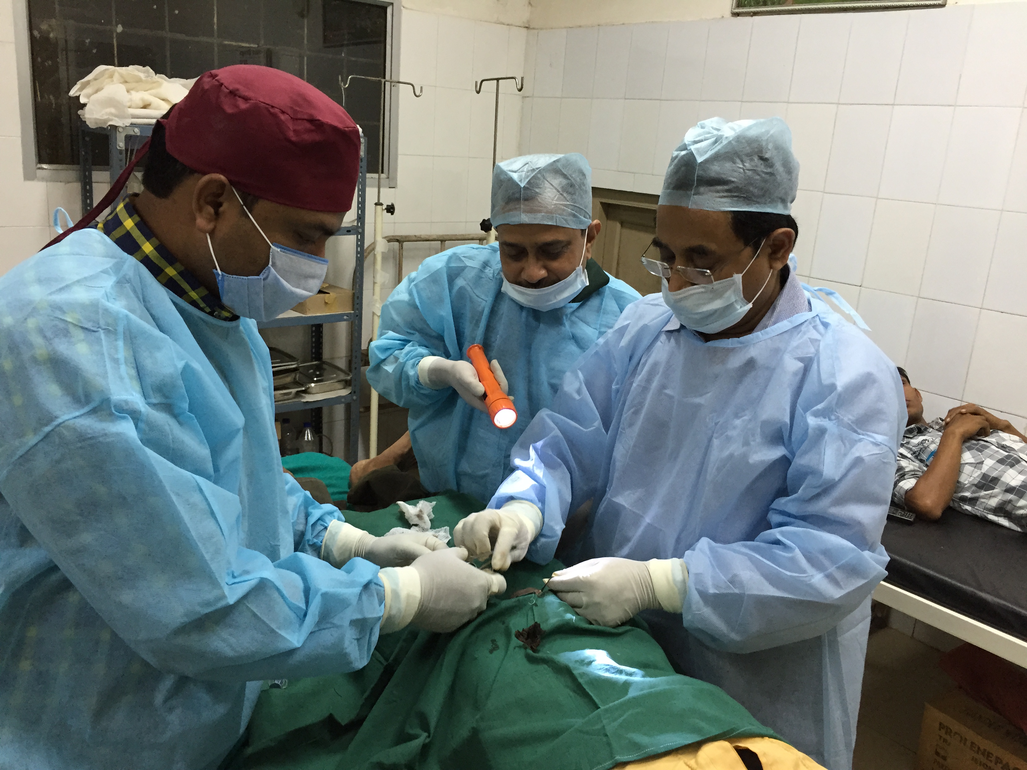
Awareness on birth control in Assam’s Hailakandi
Topographic Map of Old Hospital Rd, Bashdahar, Hailakandi, Assam, India
Find elevation by address:

Places near Old Hospital Rd, Bashdahar, Hailakandi, Assam, India:
Narainpur Pt V
Bashdahar
Karimganj
Hailakandi
Silchar
Karimganj
Zakiganj
Tea Stall
Panchogar School & College
Barthal
Beanibazar
Kanaighat
Lumsnang
Kolasib
Golapganj
Bualpui
Fenchuganj Upazila
East Jaintia Hills
Jaintapur
Dakshin Surma Upazila
Recent Searches:
- Elevation of E 63rd St, New York, NY, USA
- Elevation of Elk City, OK, USA
- Elevation of Erika Dr, Windsor, CA, USA
- Elevation of Village Ln, Finleyville, PA, USA
- Elevation of 24 Oakland Rd #, Scotland, ON N0E 1R0, Canada
- Elevation of Deep Gap Farm Rd E, Mill Spring, NC, USA
- Elevation of Dog Leg Dr, Minden, NV, USA
- Elevation of Dog Leg Dr, Minden, NV, USA
- Elevation of Kambingan Sa Pansol Atbp., Purok 7 Pansol, Candaba, Pampanga, Philippines
- Elevation of Pinewood Dr, New Bern, NC, USA