Elevation of Old Garland Rd, Pittsfield, PA, USA
Location: United States > Pennsylvania > Warren County > Pittsfield Township > Pittsfield >
Longitude: -79.416758
Latitude: 41.8126084
Elevation: 387m / 1270feet
Barometric Pressure: 97KPa
Elevation Map:
Satellite Map:
Related Photos:
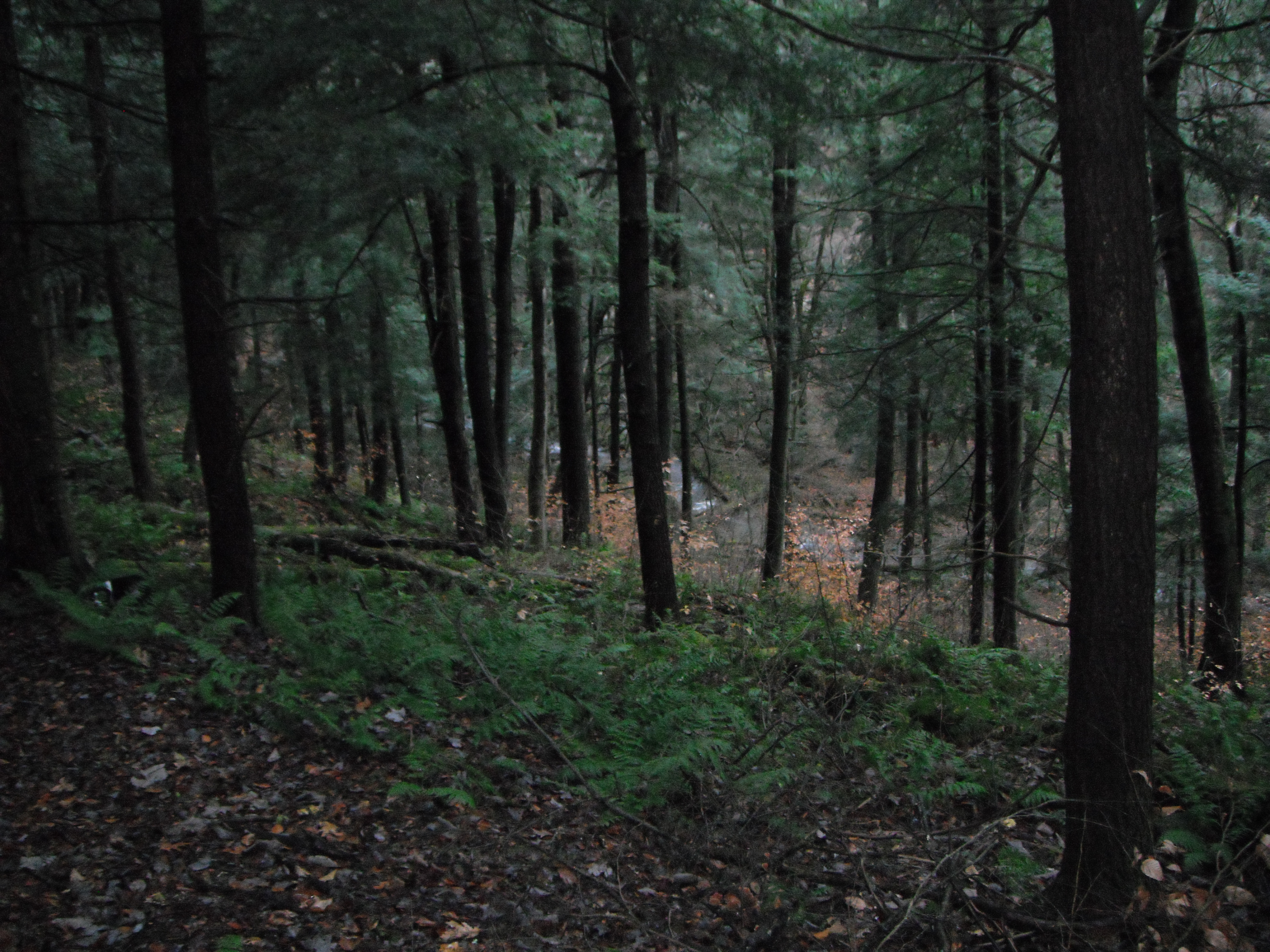
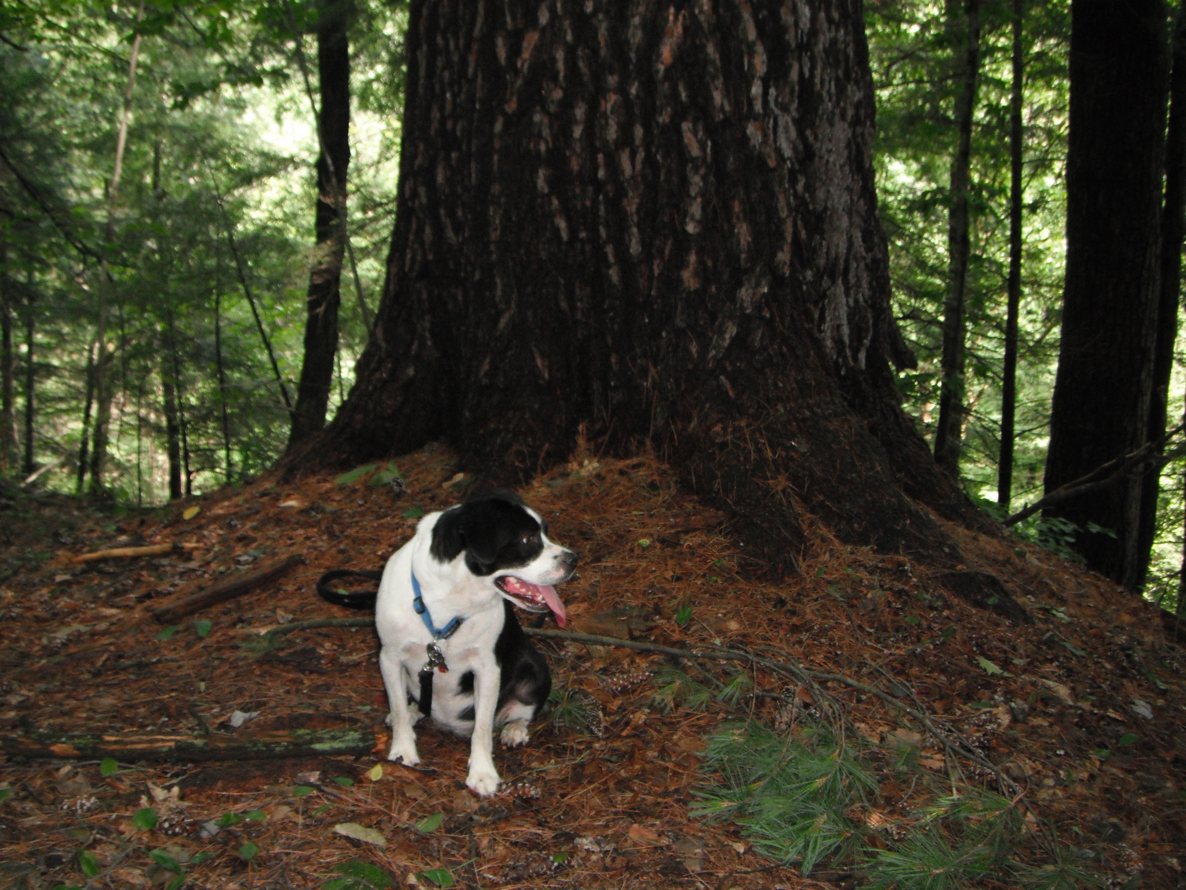
11-07-2013_12_Anders_Run_Hike
6-12-2013_24_Buckaloons_Recreation_Area
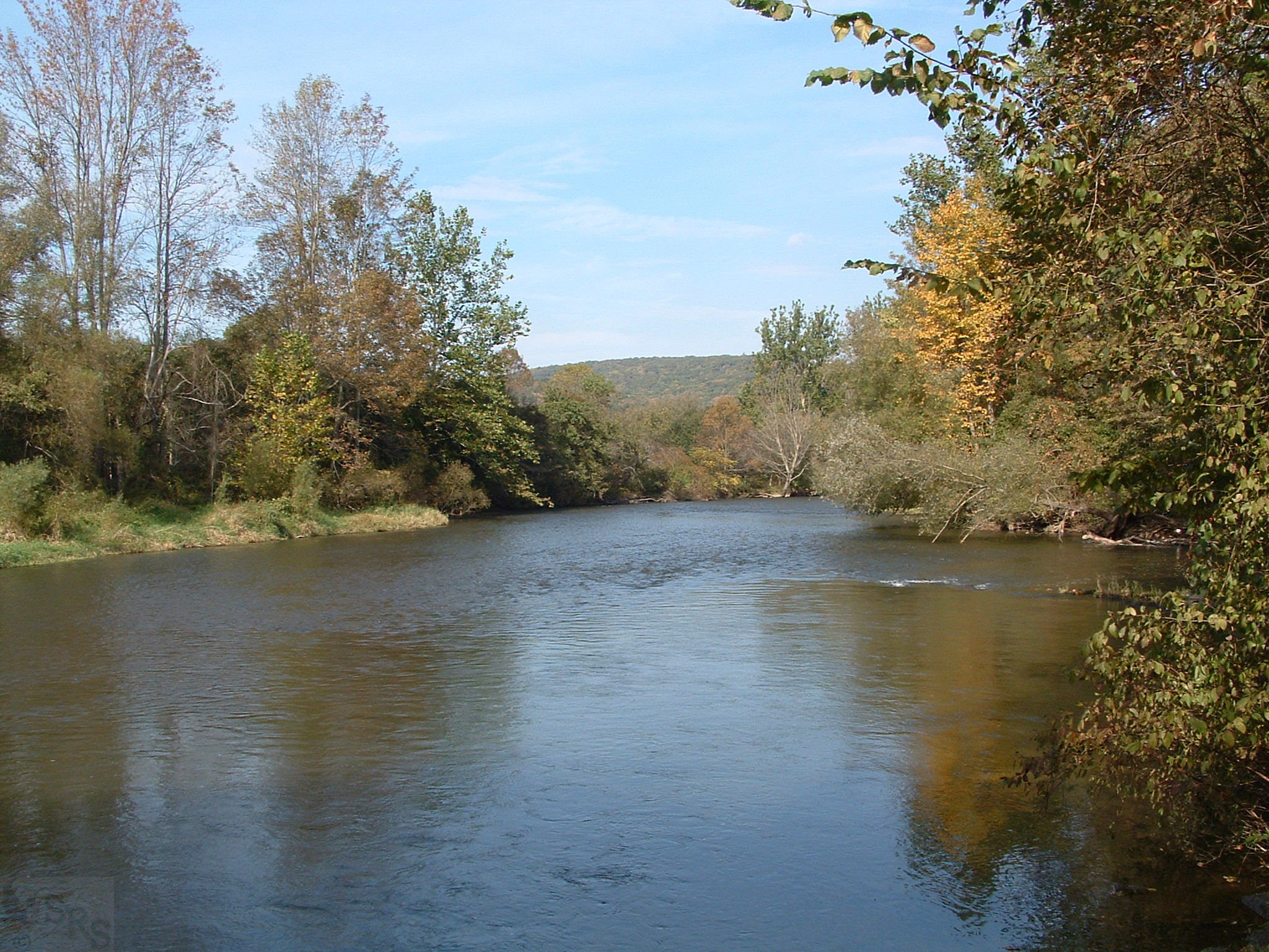
Allegheny River near Tidioute - PA - Oct 2007
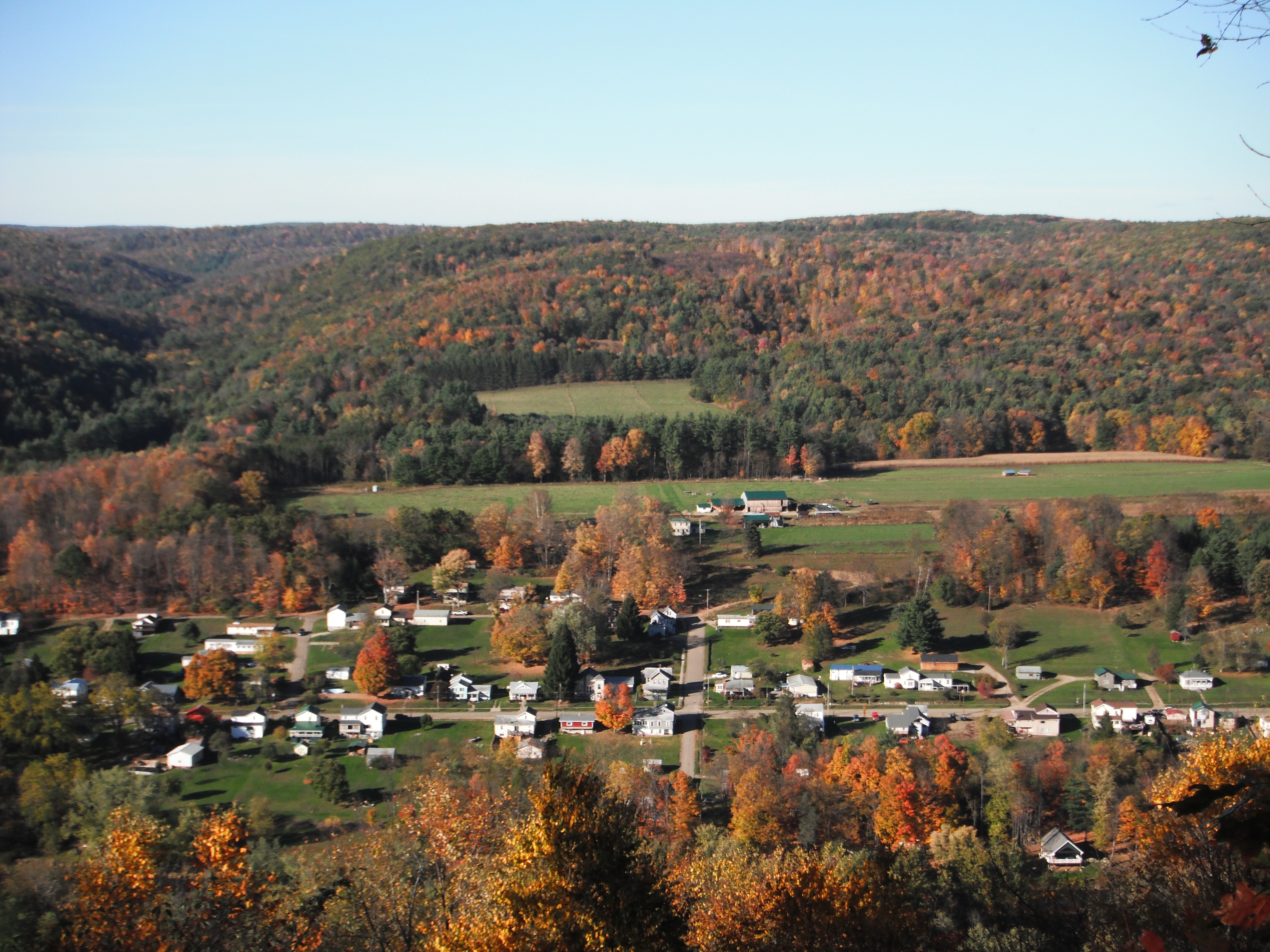
Garland PA
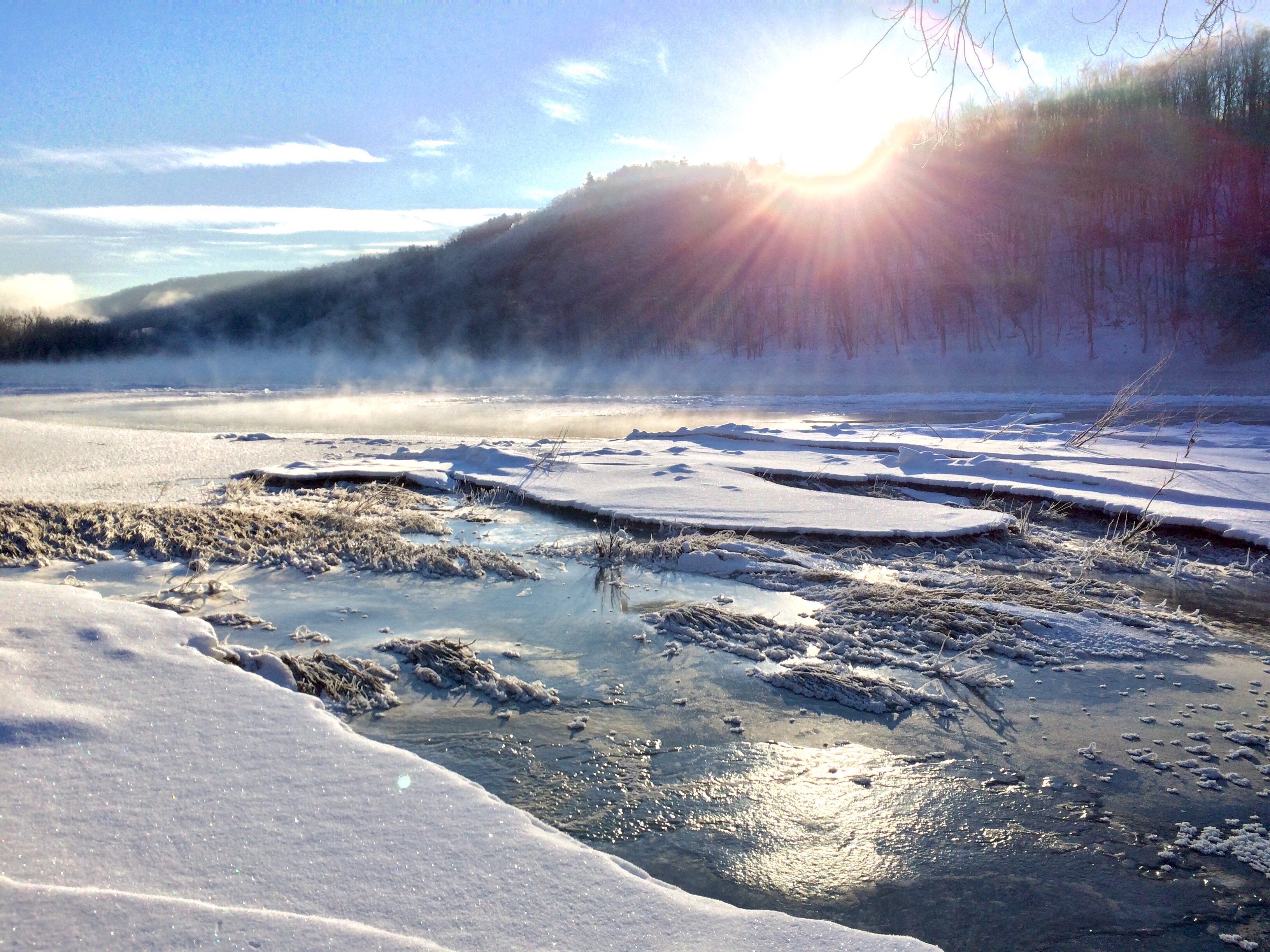
Frozen fog over the Alleghany river

Allegheny National Forest
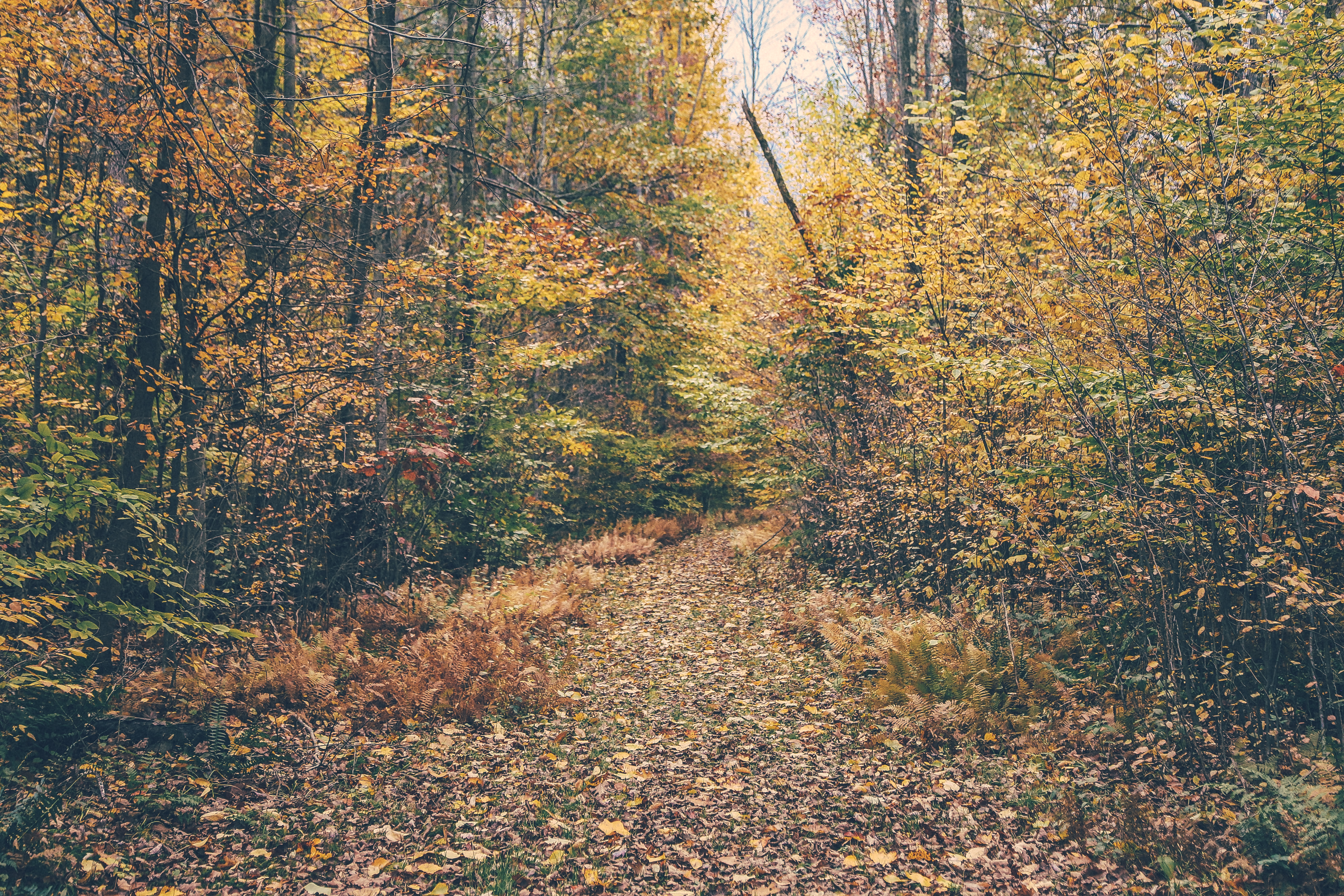
Trail Irvine Pa.
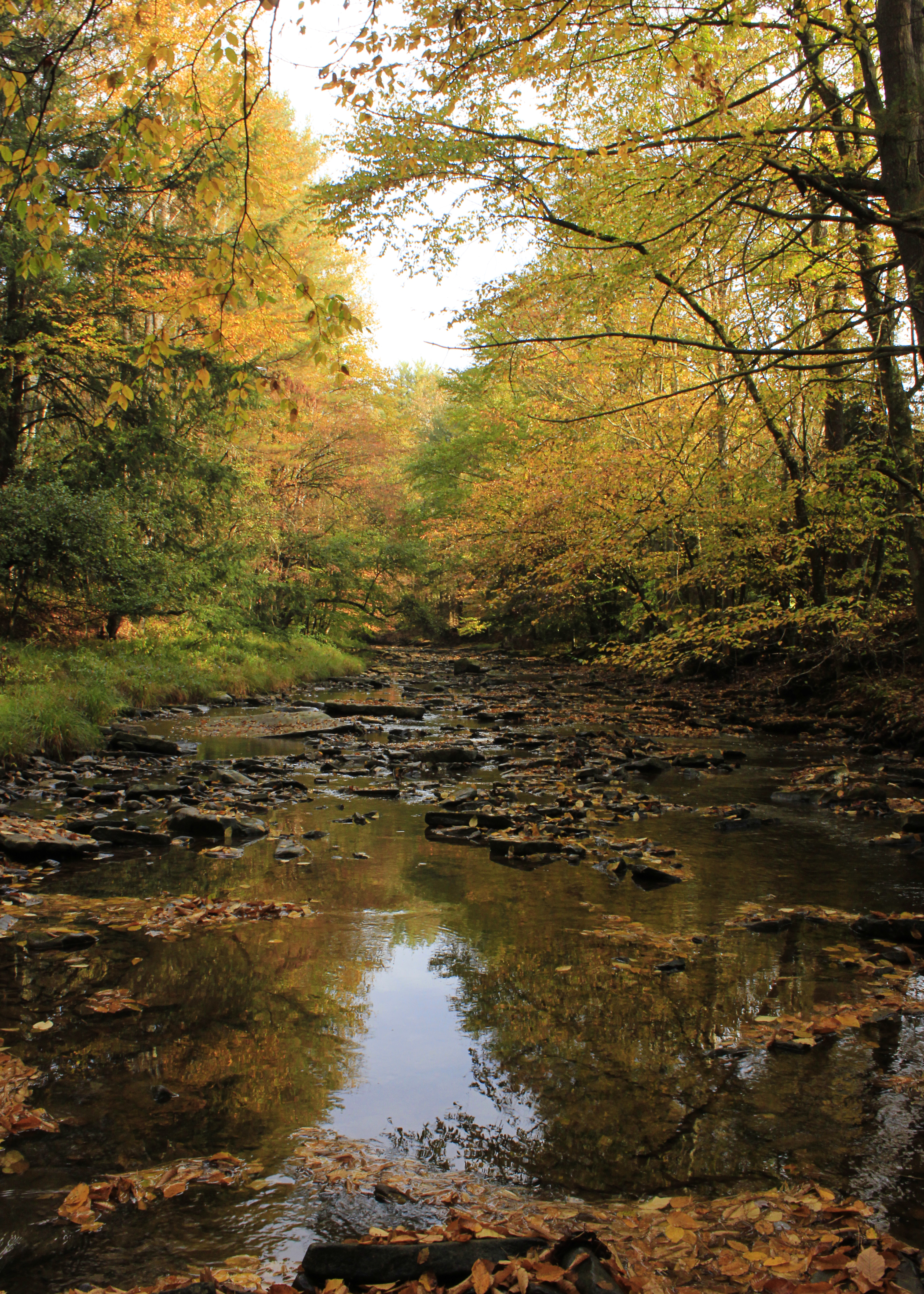
Tidioute Creek 10/2013
Crossing the swamps west of Lottsville
11-07-2013_18_Anders_Run_Hike
Allegheny National Forest
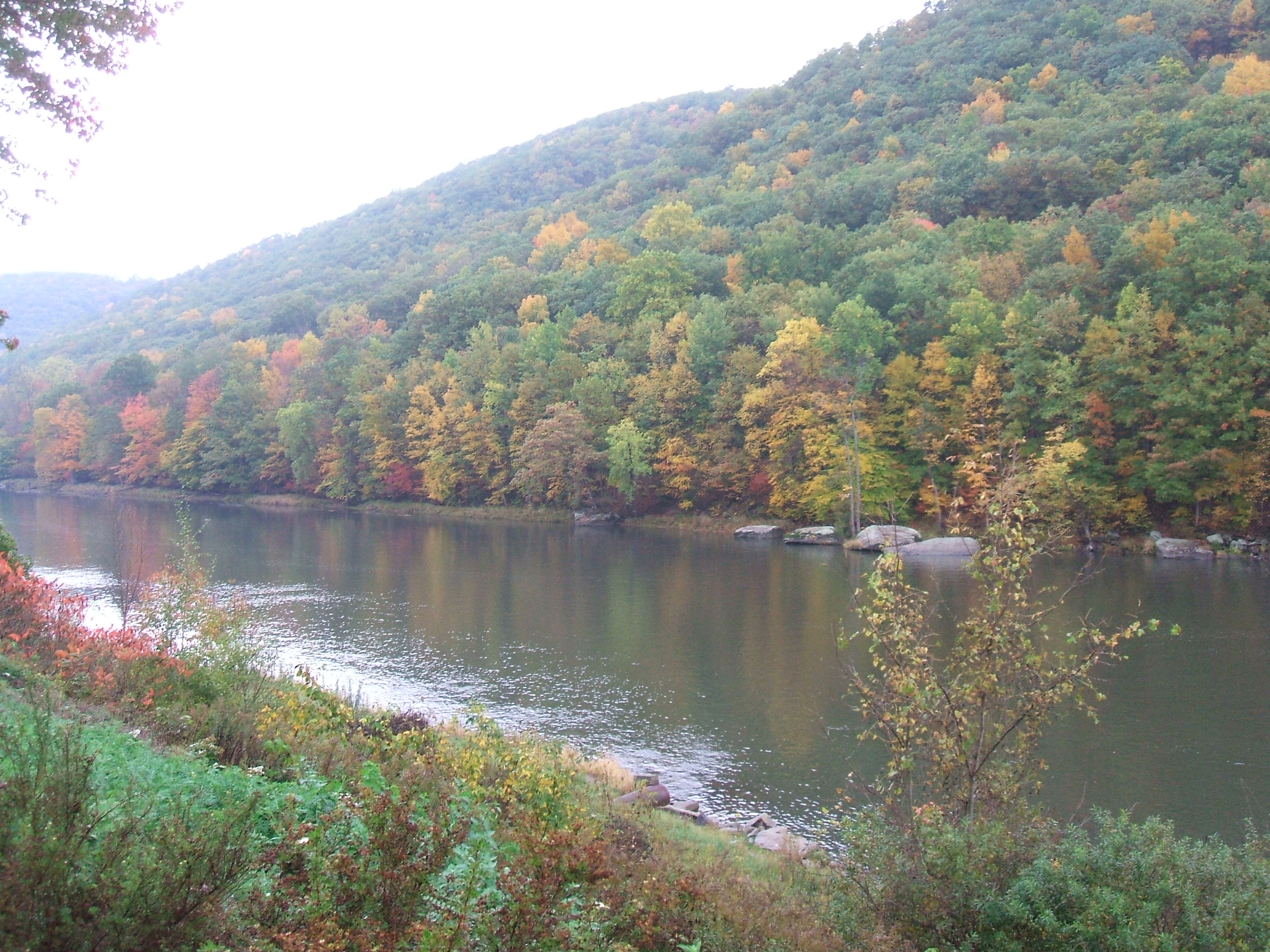
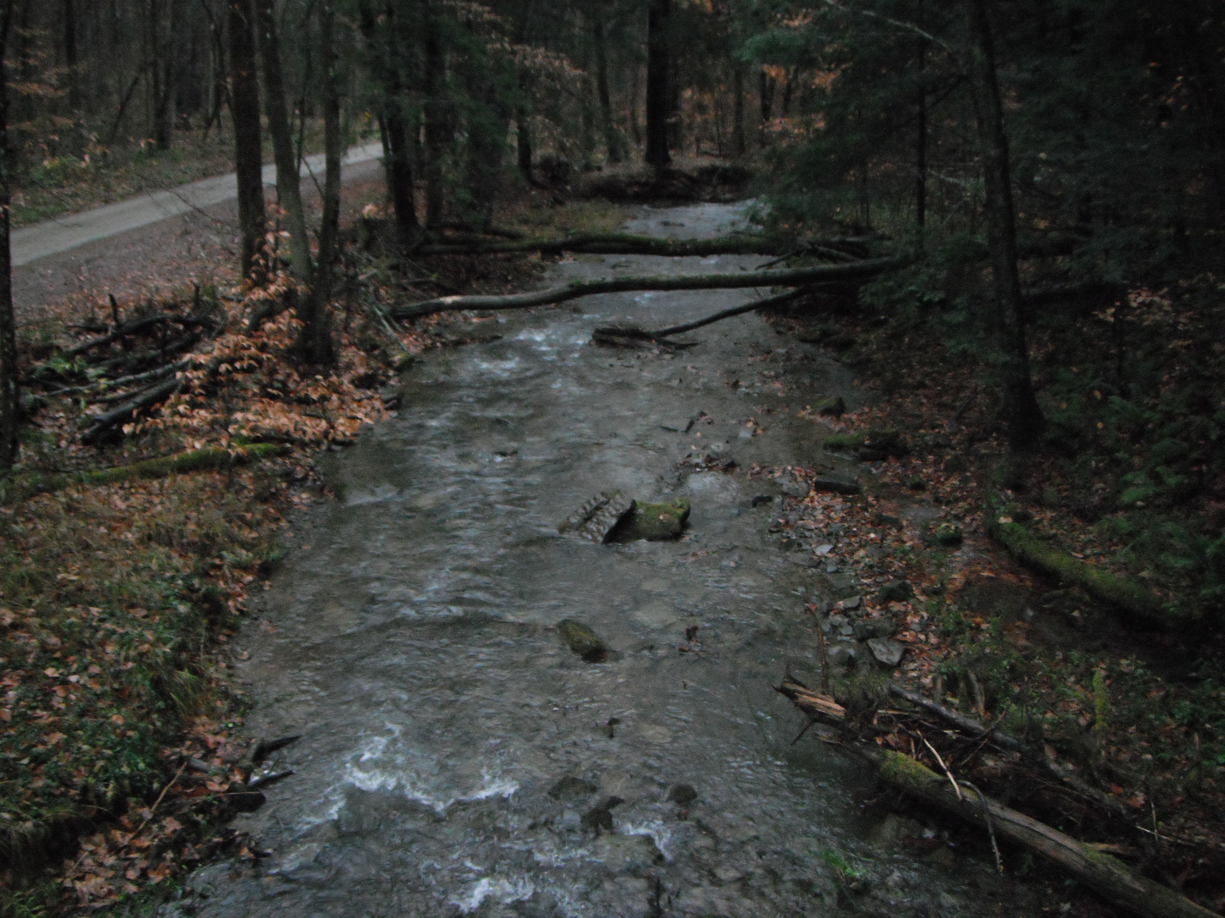
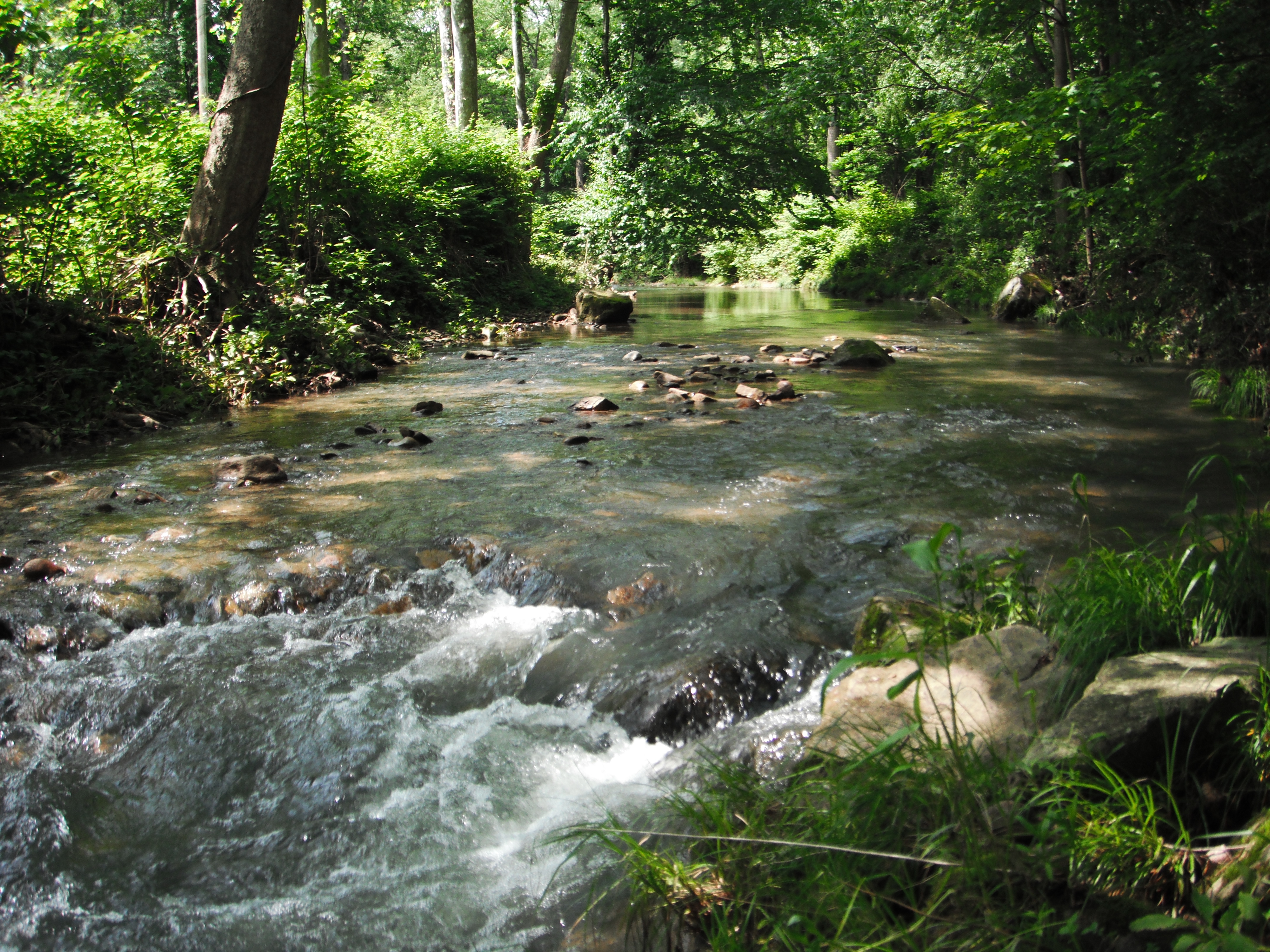
Brokenstraw Creek ~ Garland, PA ~ 2003-10-09
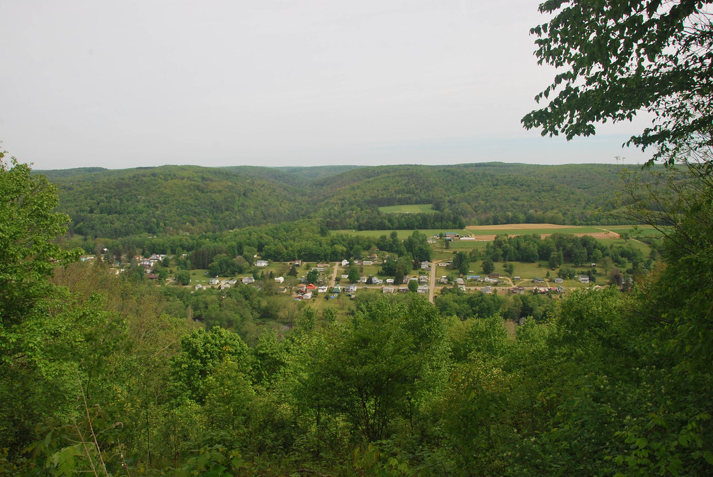
10-09-2012_09_Tidioute_Overlook
6-12-2013_16_Buckaloons_Recreation_Area

11-07-2013_13_Anders_Run_Hike
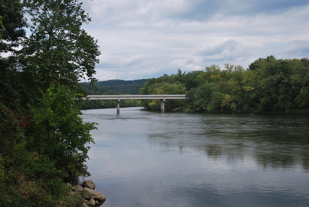
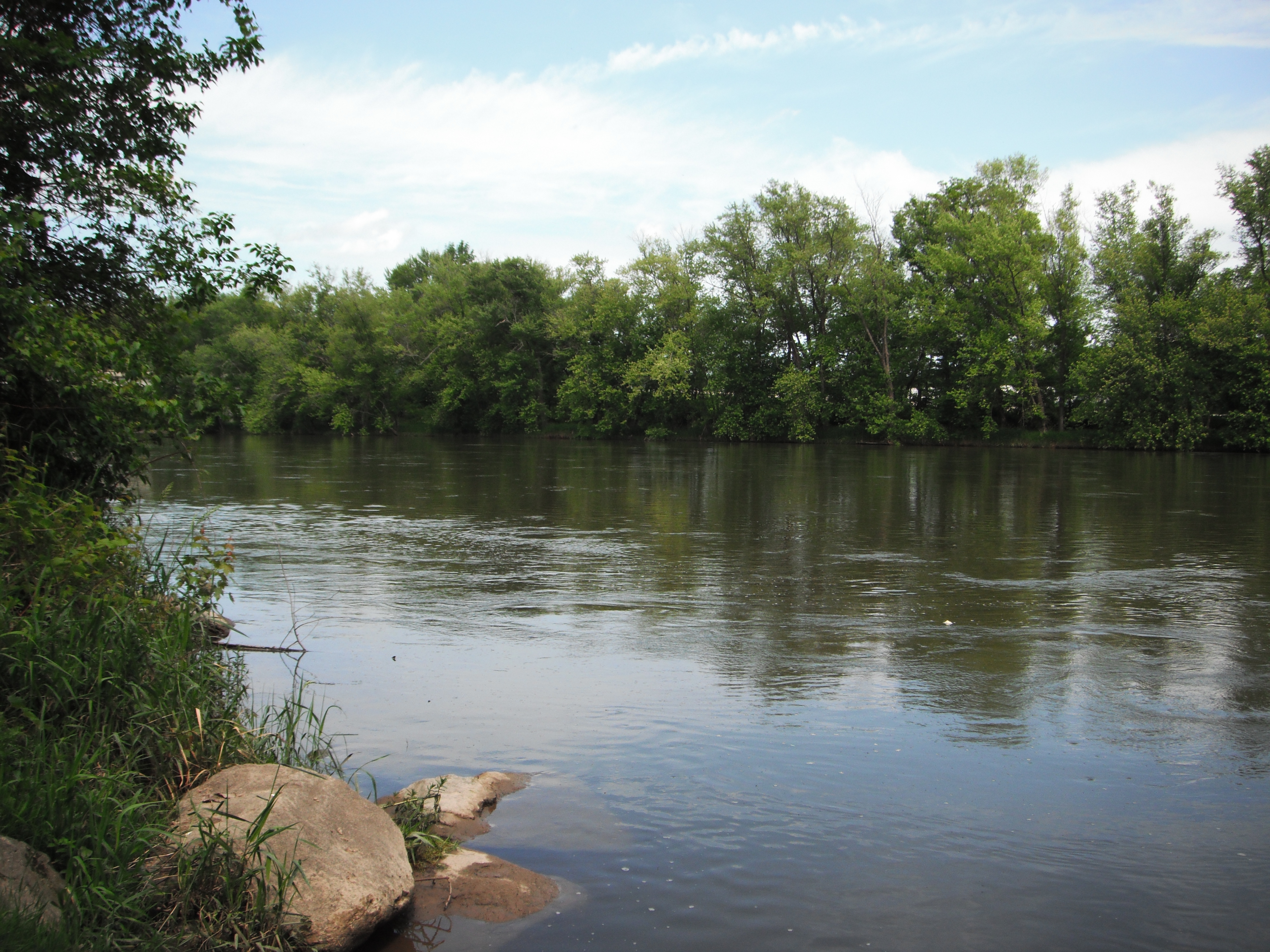
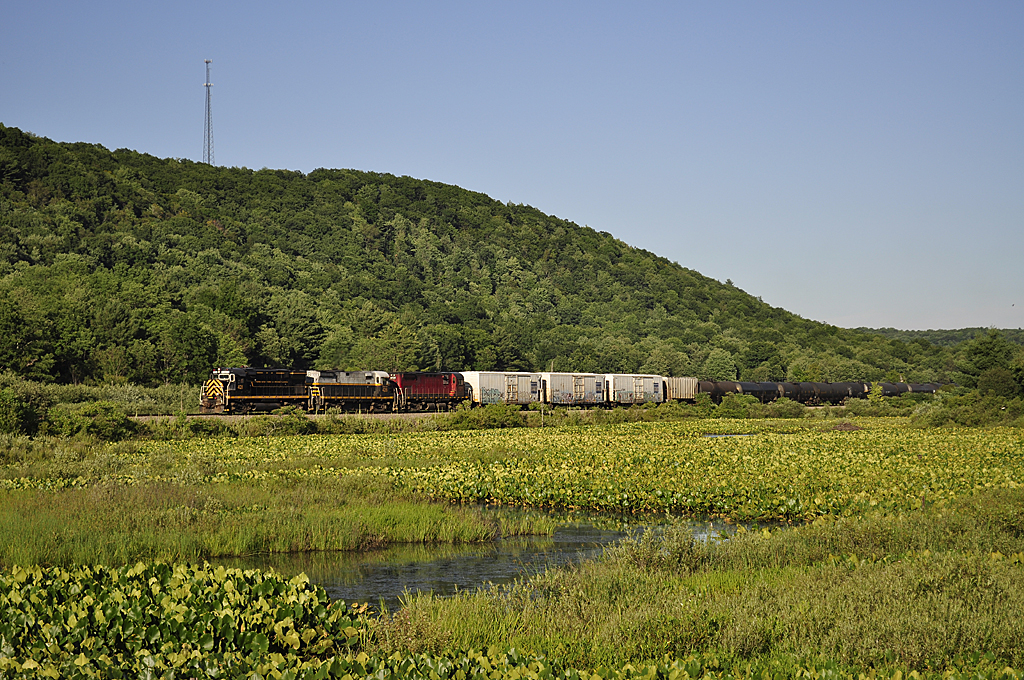
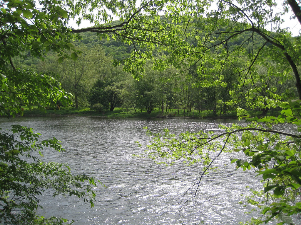
Allegheny River at Buckaloons Recreation Area

Allegheny River at Buckaloons Recreation Area
7-27-2012_06_Anders_Run_Natural_Area
Allegheny National Forest
7-27-2012_15_Anders_Run_Natural_Area
7-27-2012_17_Anders_Run_Natural_Area

4-27-2012_04_Buckaloons_Senaca_Trail
Topographic Map of Old Garland Rd, Pittsfield, PA, USA
Find elevation by address:

Places near Old Garland Rd, Pittsfield, PA, USA:
2550 Old Garland Rd
Pittsfield Township
Pittsfield
6464 Pa-27
961 Hosmer Rd
Zolko Rd, Pittsfield, PA, USA
700 Miles Run Rd
Brokenstraw Township
Deerfield Township
1070 Hyers Rd
Althom Rd, Tidioute, PA, USA
Spring Creek
Warren County
Tidioute
Spring Creek Township
Wesley Woods Inc.
Irvine
1635 Irvine Run Rd
Columbus Township
2889 Keller Rd
Recent Searches:
- Elevation of 7 Waterfall Way, Tomball, TX, USA
- Elevation of SW 57th Ave, Portland, OR, USA
- Elevation of Crocker Dr, Vacaville, CA, USA
- Elevation of Pu Ngaol Community Meeting Hall, HWHM+3X7, Krong Saen Monourom, Cambodia
- Elevation of Royal Ontario Museum, Queens Park, Toronto, ON M5S 2C6, Canada
- Elevation of Groblershoop, South Africa
- Elevation of Power Generation Enterprises | Industrial Diesel Generators, Oak Ave, Canyon Country, CA, USA
- Elevation of Chesaw Rd, Oroville, WA, USA
- Elevation of N, Mt Pleasant, UT, USA
- Elevation of 6 Rue Jules Ferry, Beausoleil, France