Elevation of Pittsfield Township, PA, USA
Location: United States > Pennsylvania > Warren County >
Longitude: -79.402863
Latitude: 41.8445244
Elevation: 398m / 1306feet
Barometric Pressure: 97KPa
Elevation Map:
Satellite Map:
Related Photos:
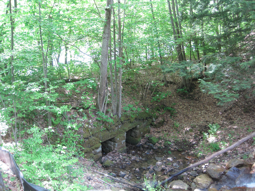
11-07-2013_12_Anders_Run_Hike
6-12-2013_24_Buckaloons_Recreation_Area
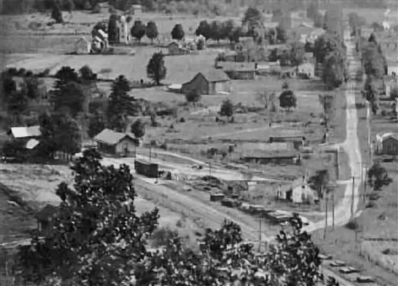
Garland PA
11-07-2013_18_Anders_Run_Hike
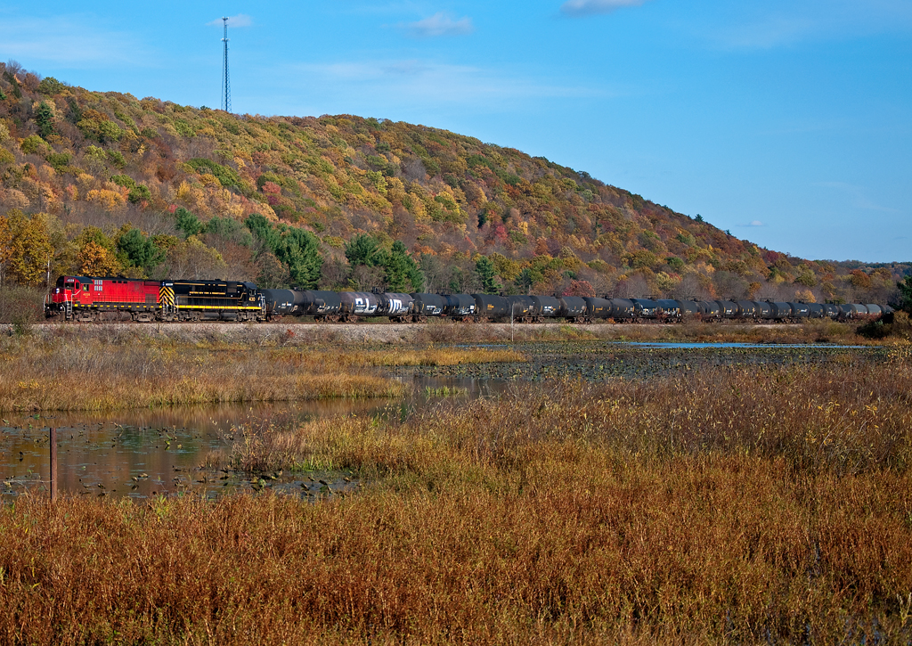
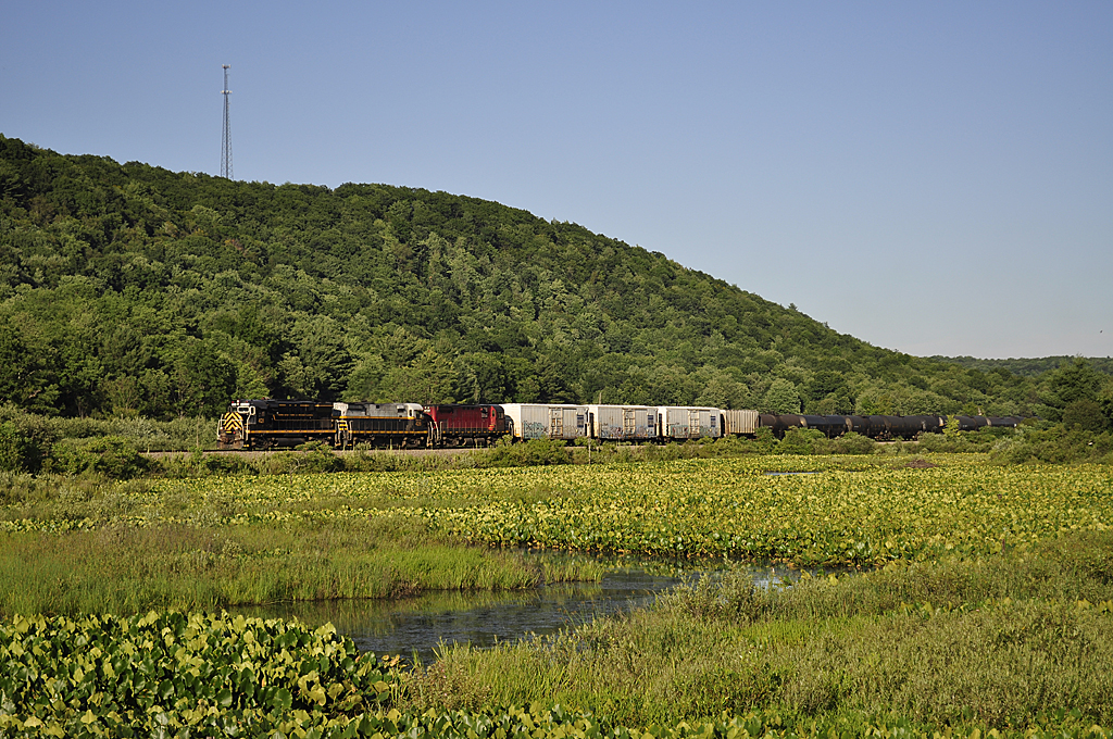
Western New York & Pennsylvania Alco C424 4228
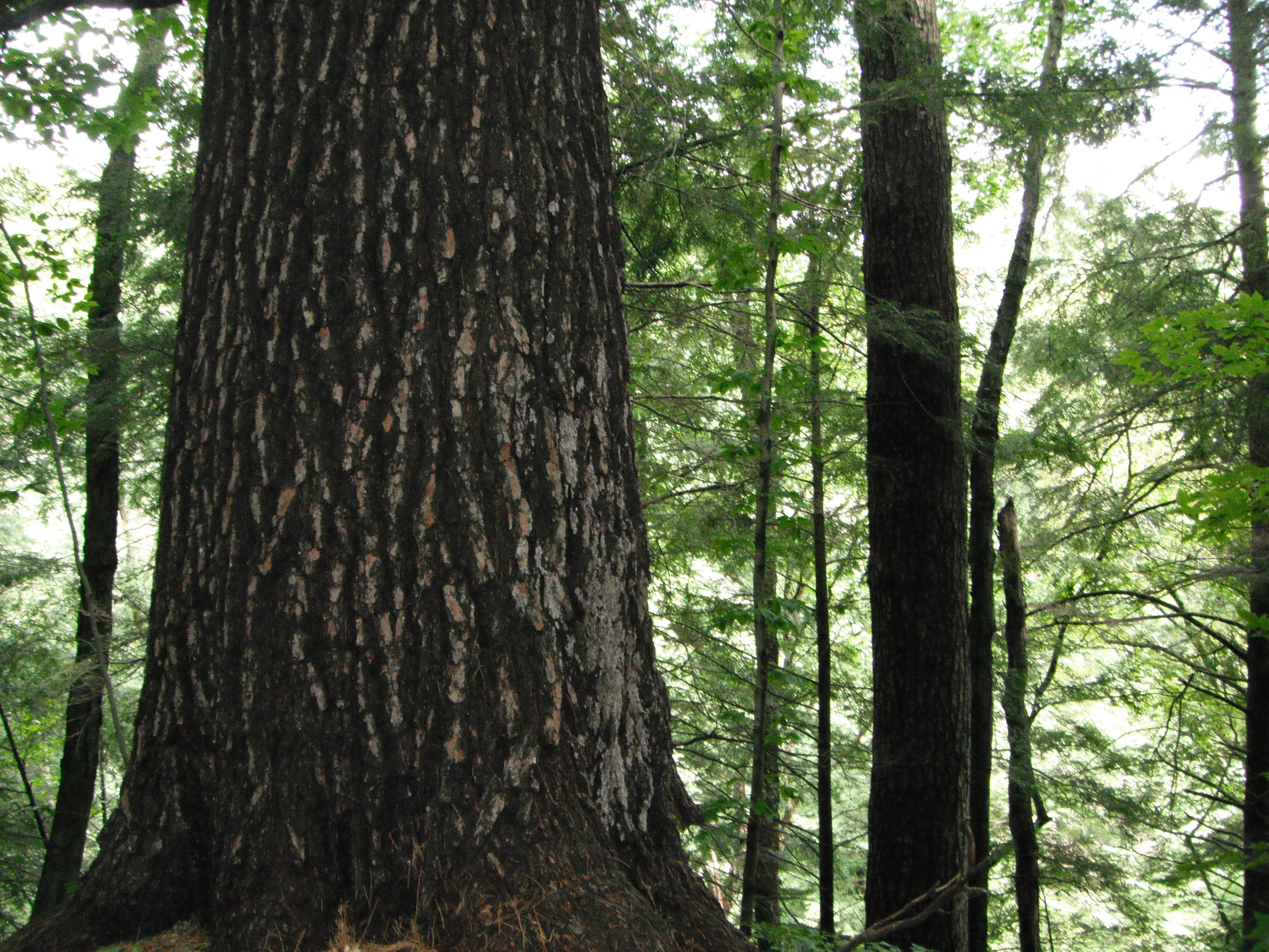
Allegheny National Forest
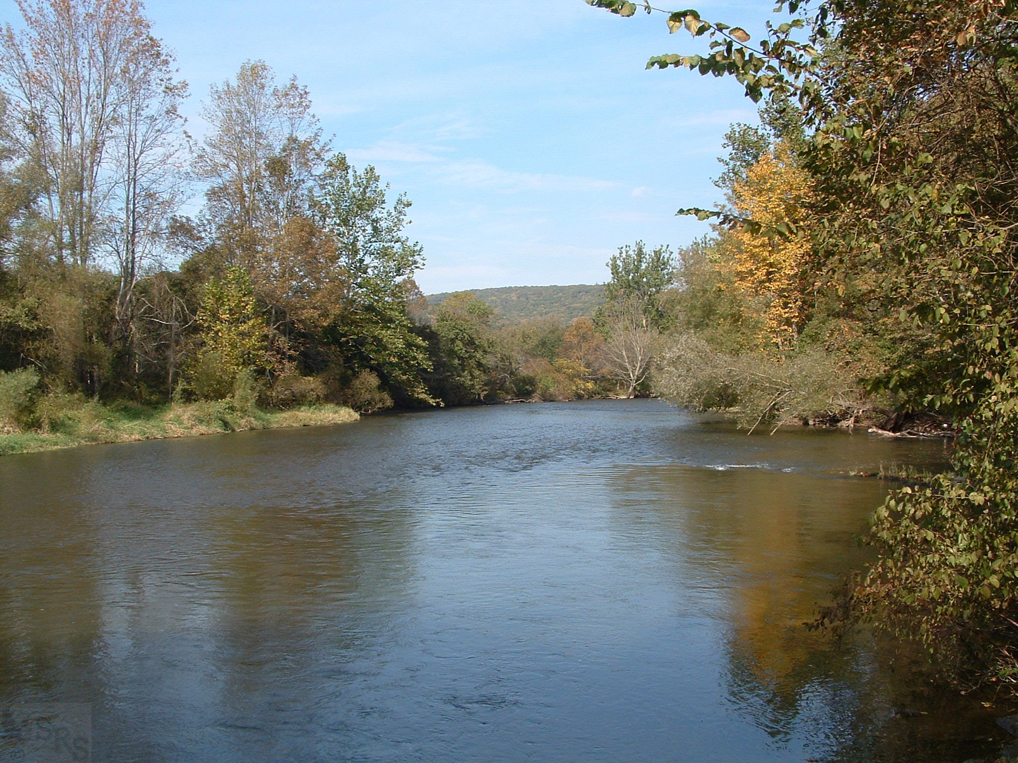
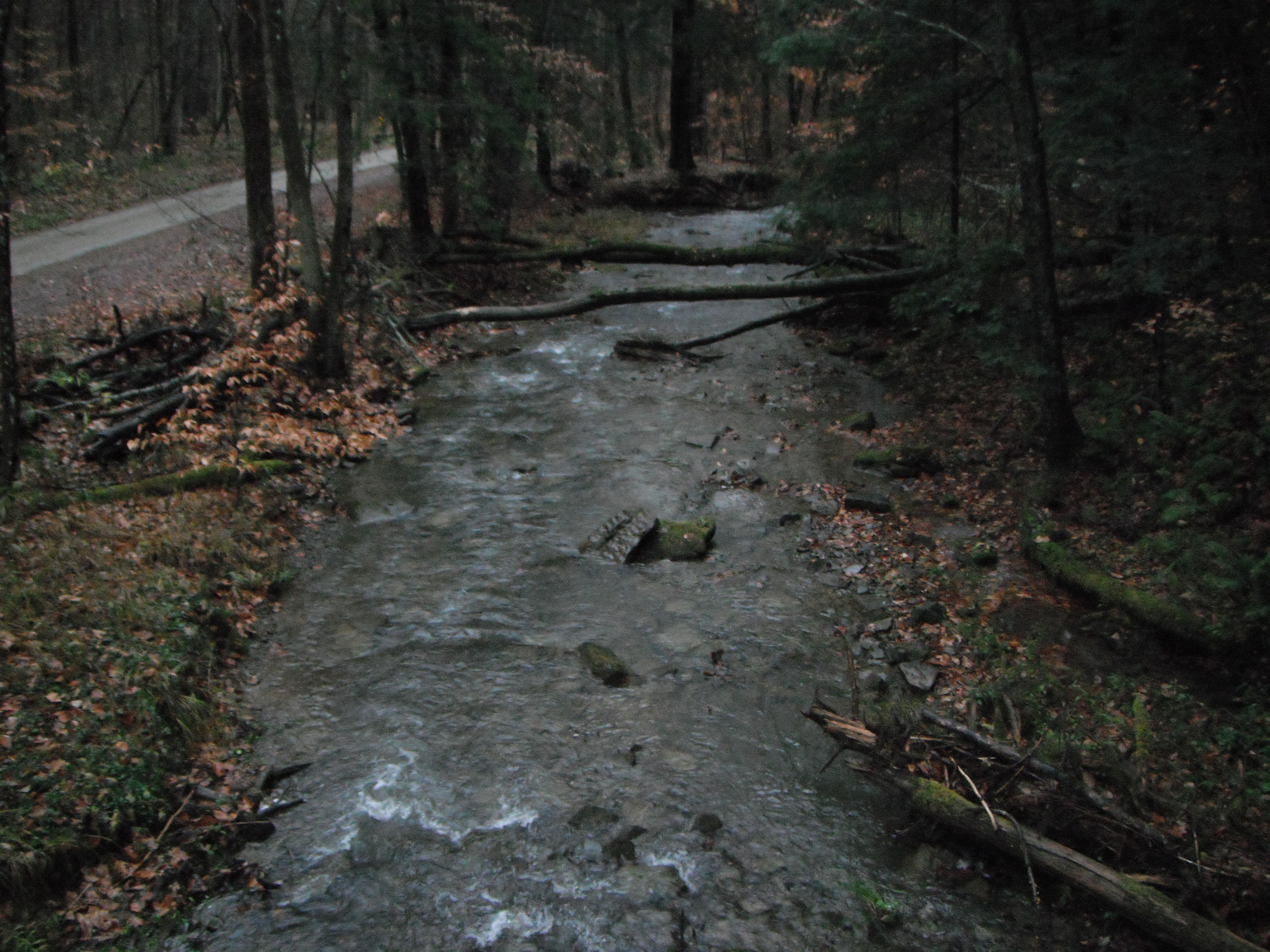
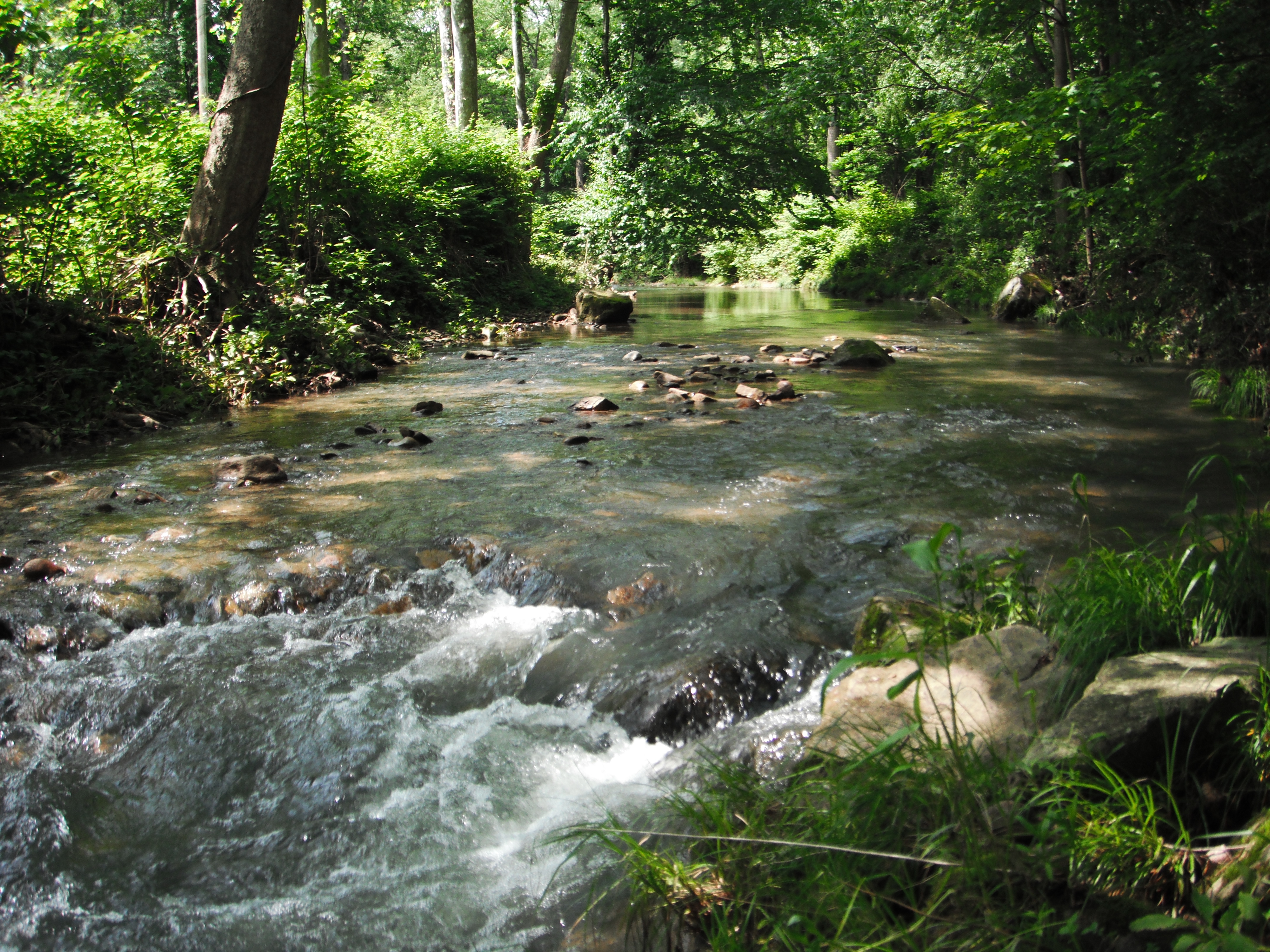
Brokenstraw Creek ~ Garland, PA ~ 2003-10-09

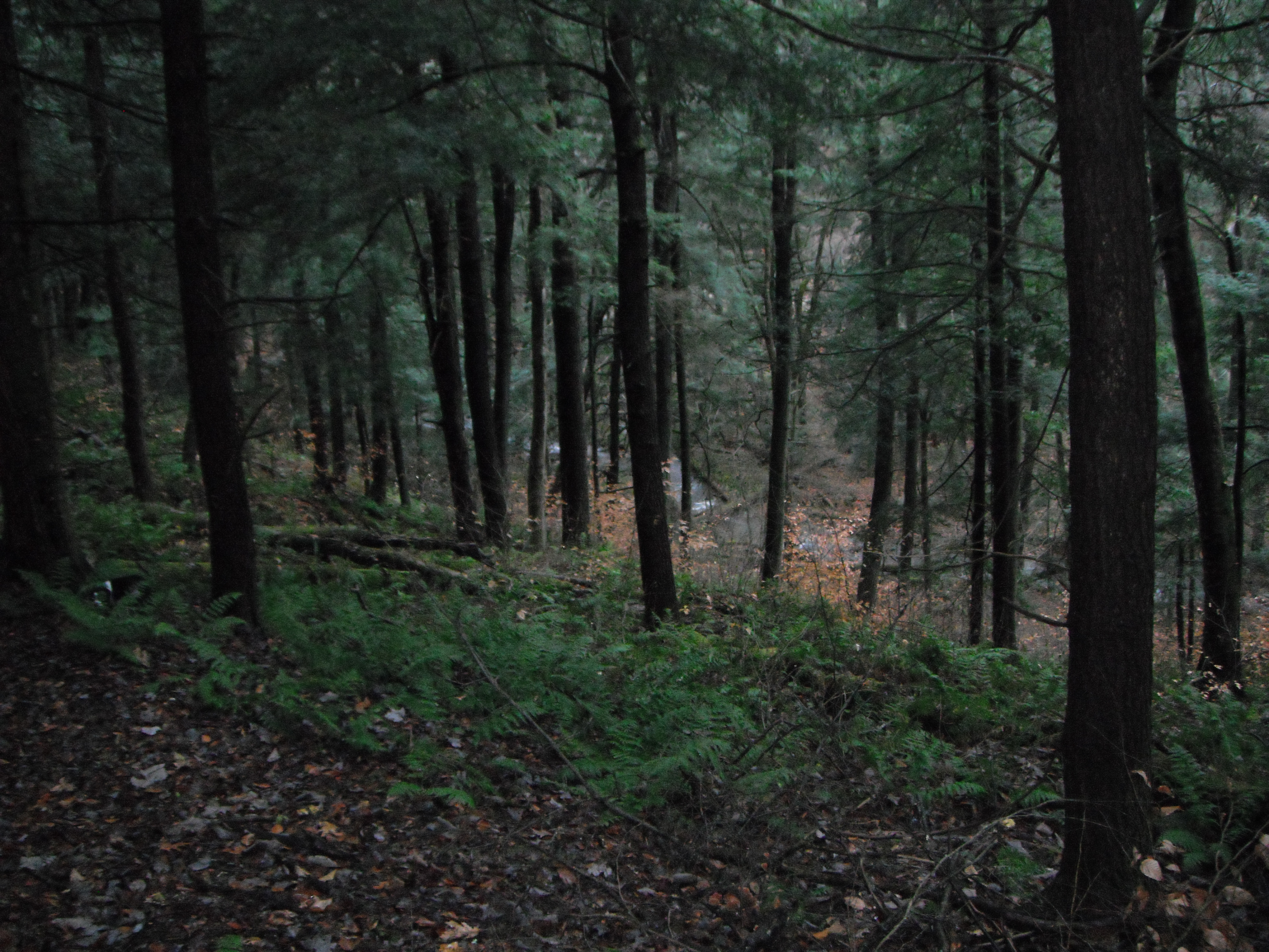
11-07-2013_13_Anders_Run_Hike
7-27-2012_15_Anders_Run_Natural_Area
7-27-2012_17_Anders_Run_Natural_Area
Allegheny National Forest

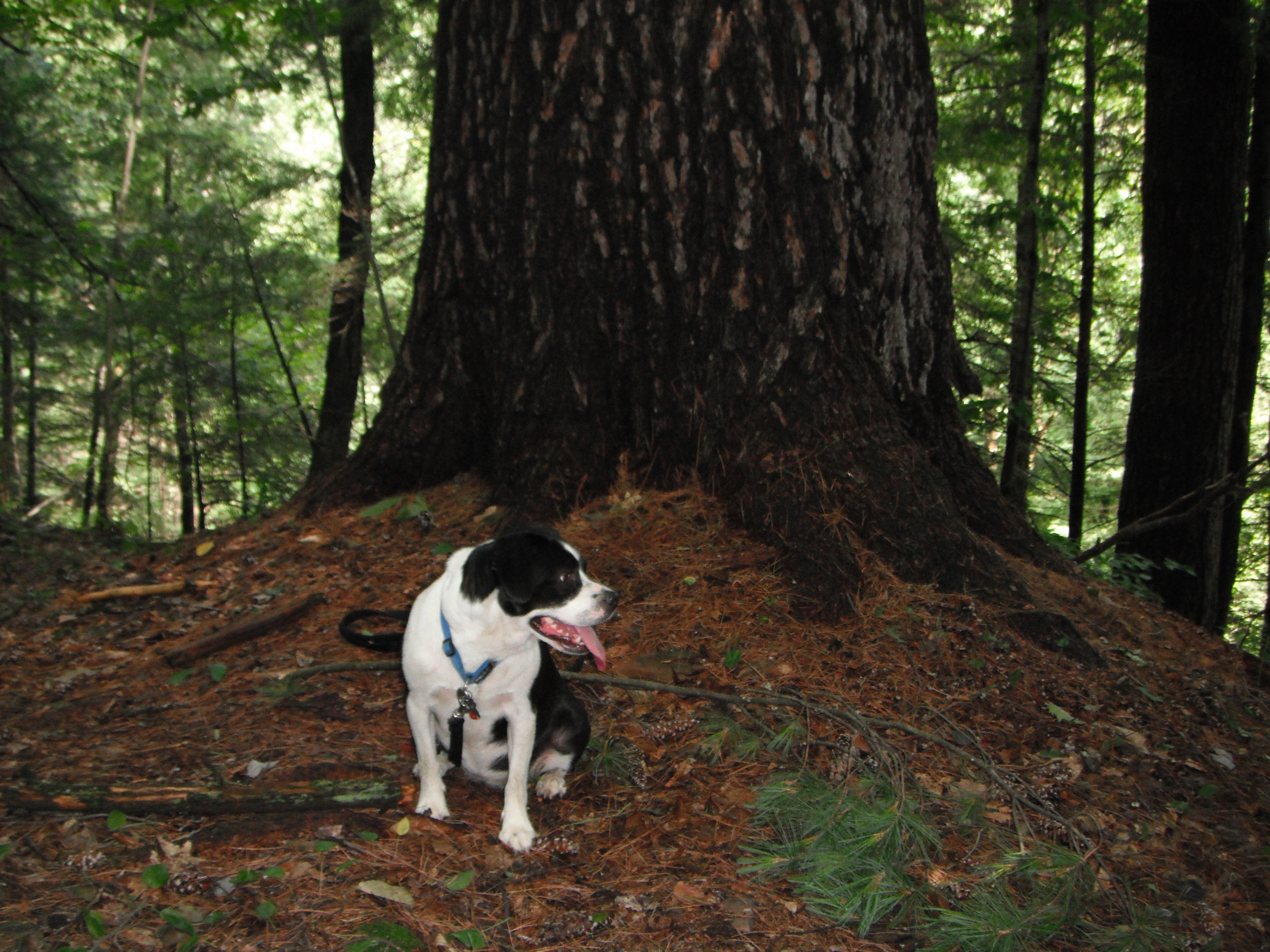
8-09-2012_01_Anders_Run_Natural_Area(Got_Lost)
Crossing the swamps west of Lottsville
Trail Irvine Pa.
6-12-2013_16_Buckaloons_Recreation_Area
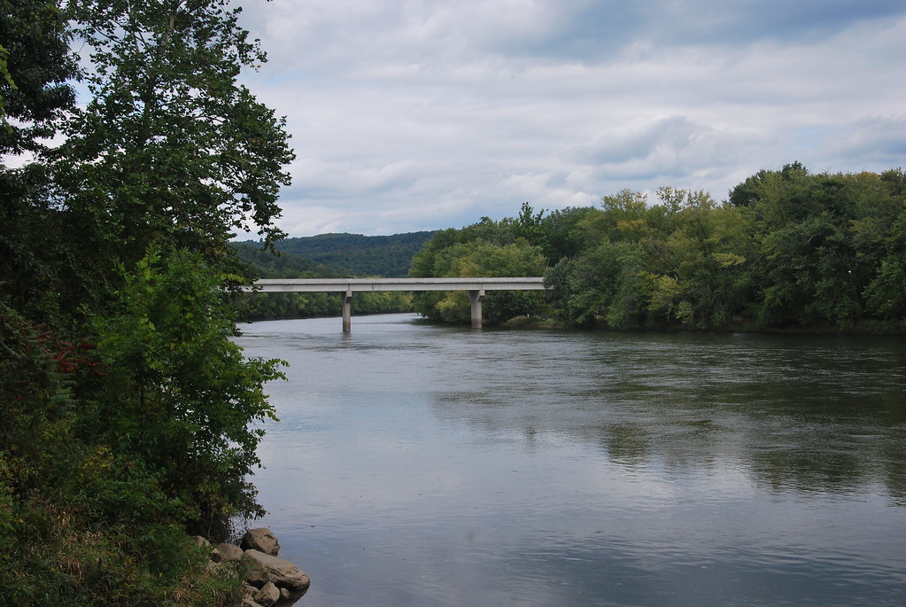
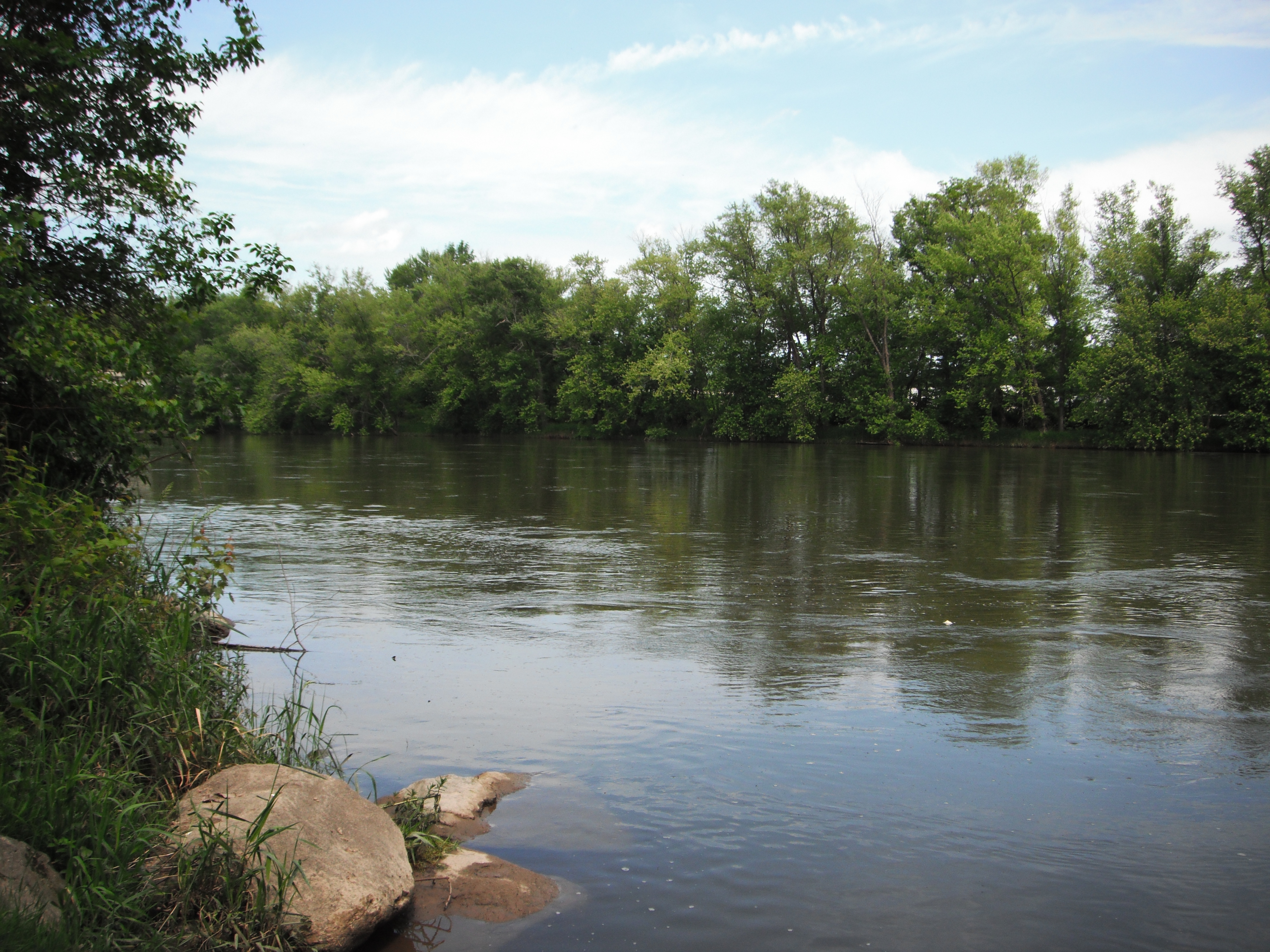
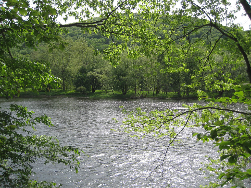
Allegheny River at Buckaloons Recreation Area
7-27-2012_06_Anders_Run_Natural_Area

4-27-2012_04_Buckaloons_Senaca_Trail

Allegheny River at Buckaloons Recreation Area
Topographic Map of Pittsfield Township, PA, USA
Find elevation by address:

Places in Pittsfield Township, PA, USA:
Places near Pittsfield Township, PA, USA:
700 Miles Run Rd
Brokenstraw Township
1635 Irvine Run Rd
Irvine
1050 Stillwater Rd
Sugar Grove
2889 Keller Rd
25 Grass Flats Blvd, Warren, PA, USA
4447 Follett Run Rd
Conewango Township
21505 Us-6
Pennsylvania Ave W, Warren, PA, USA
1521 Dutch Hill Rd
883 Follett Run Rd
318 W 3rd Ave
Liberty Street
6th Avenue
208-214
Warren
203 East St
Recent Searches:
- Elevation of 7 Waterfall Way, Tomball, TX, USA
- Elevation of SW 57th Ave, Portland, OR, USA
- Elevation of Crocker Dr, Vacaville, CA, USA
- Elevation of Pu Ngaol Community Meeting Hall, HWHM+3X7, Krong Saen Monourom, Cambodia
- Elevation of Royal Ontario Museum, Queens Park, Toronto, ON M5S 2C6, Canada
- Elevation of Groblershoop, South Africa
- Elevation of Power Generation Enterprises | Industrial Diesel Generators, Oak Ave, Canyon Country, CA, USA
- Elevation of Chesaw Rd, Oroville, WA, USA
- Elevation of N, Mt Pleasant, UT, USA
- Elevation of 6 Rue Jules Ferry, Beausoleil, France