Elevation of Old Church Rd, New Kent, VA, USA
Location: United States > Virginia > New Kent County >
Longitude: -77.102642
Latitude: 37.595539
Elevation: 13m / 43feet
Barometric Pressure: 101KPa
Elevation Map:
Satellite Map:
Related Photos:

APPOKANT CAMPS
Behind the Scenes
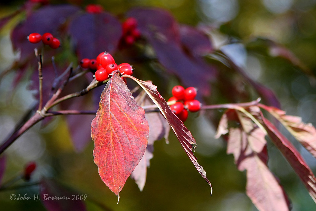
Dogwood HBW
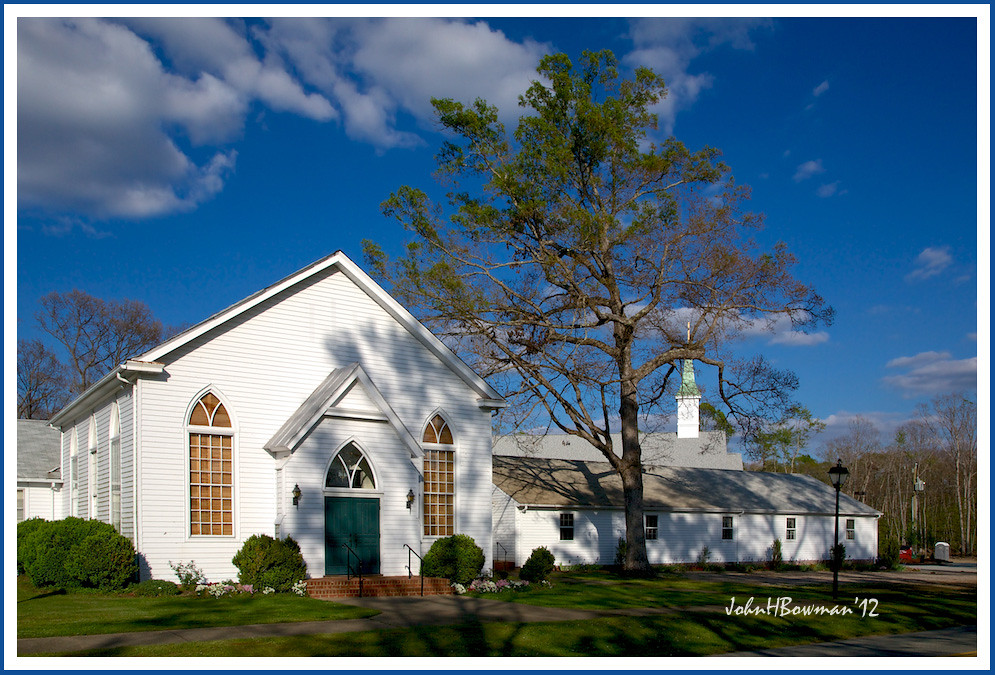
Bethlehem Presbyterian Church
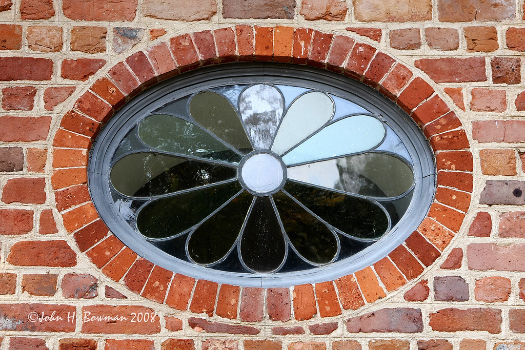
St. Peter's Church - oval/floral window
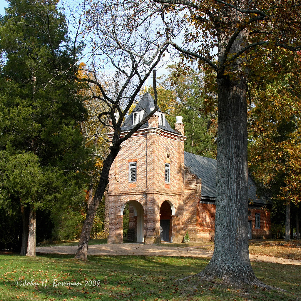
St. Peter's Church - alternate perspective

St. Peter's Church - door detail
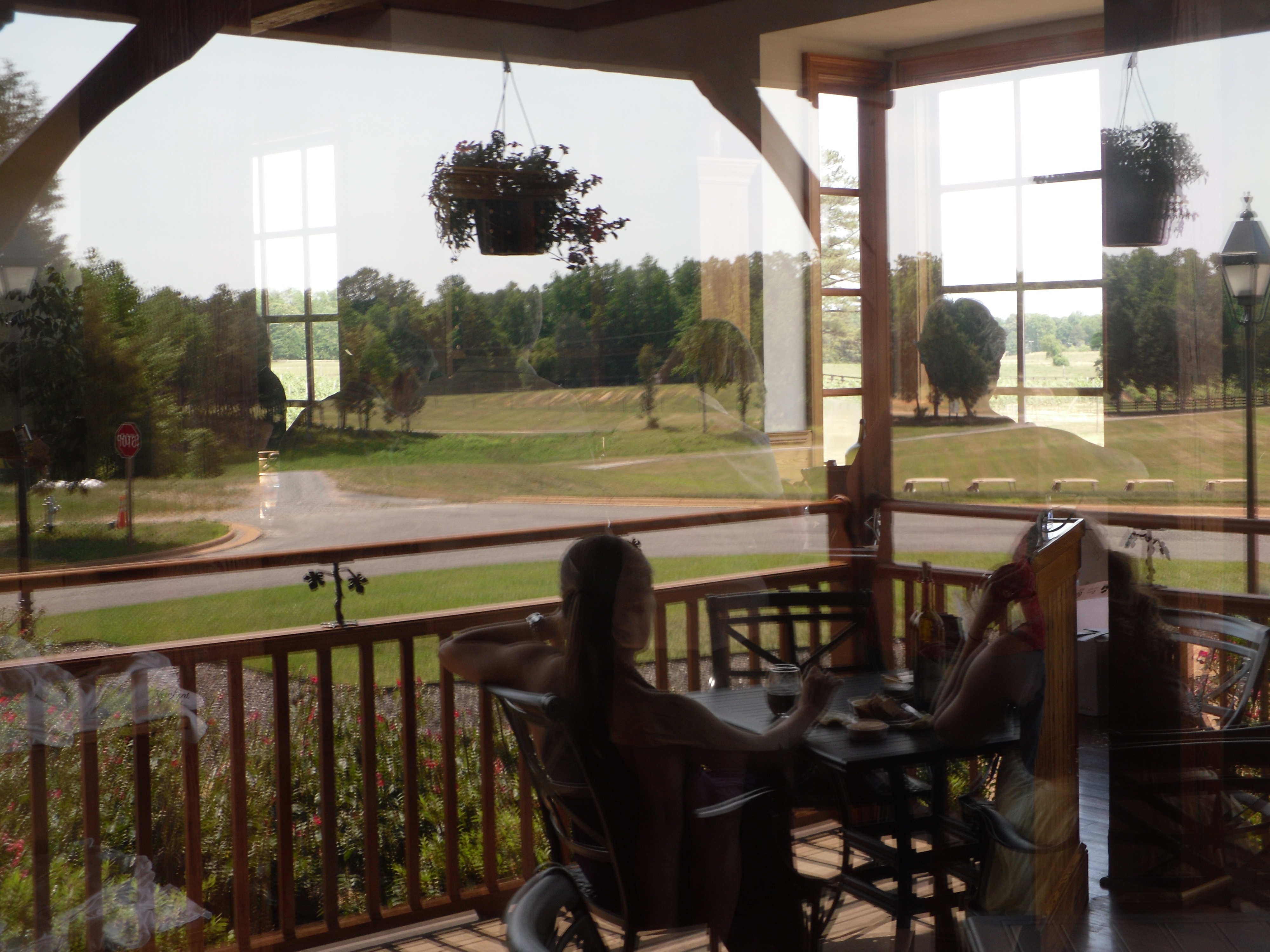
Reflected view
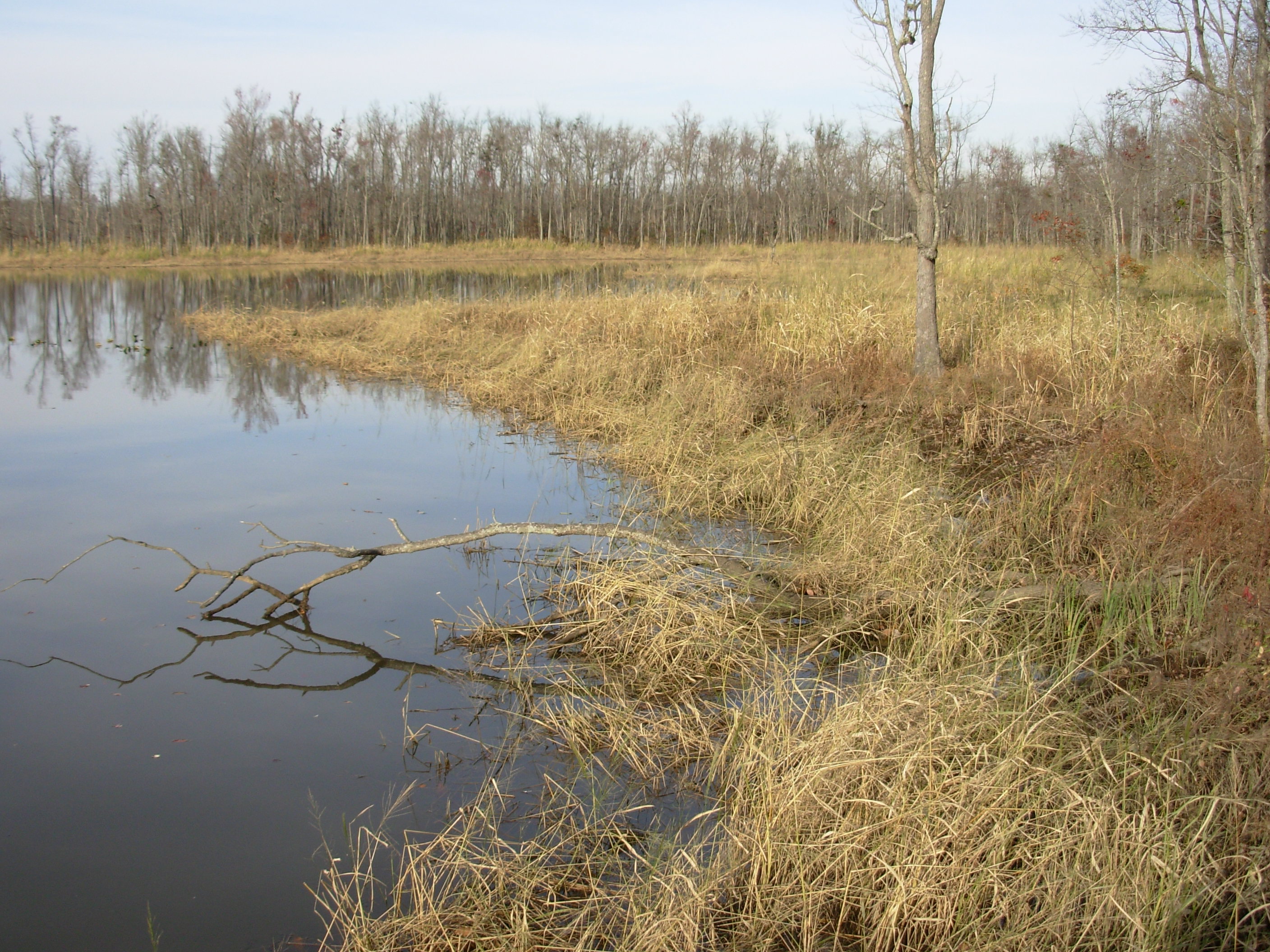
Cumberland Marsh View New Kent VA
View from Garthright House, Cold Harbor, Richmond National Battlefield Park, Virginia
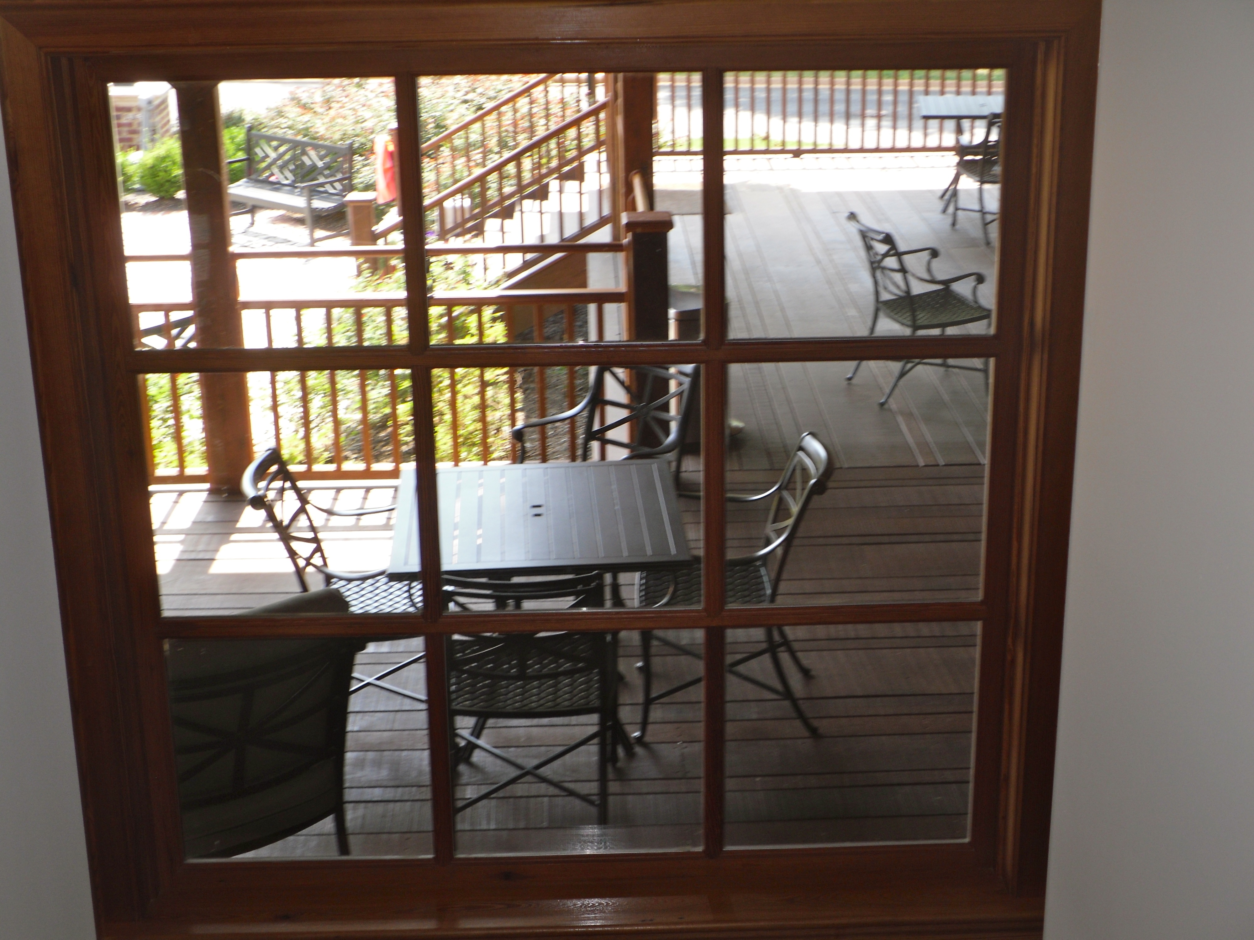
Porch view

View from the balcony

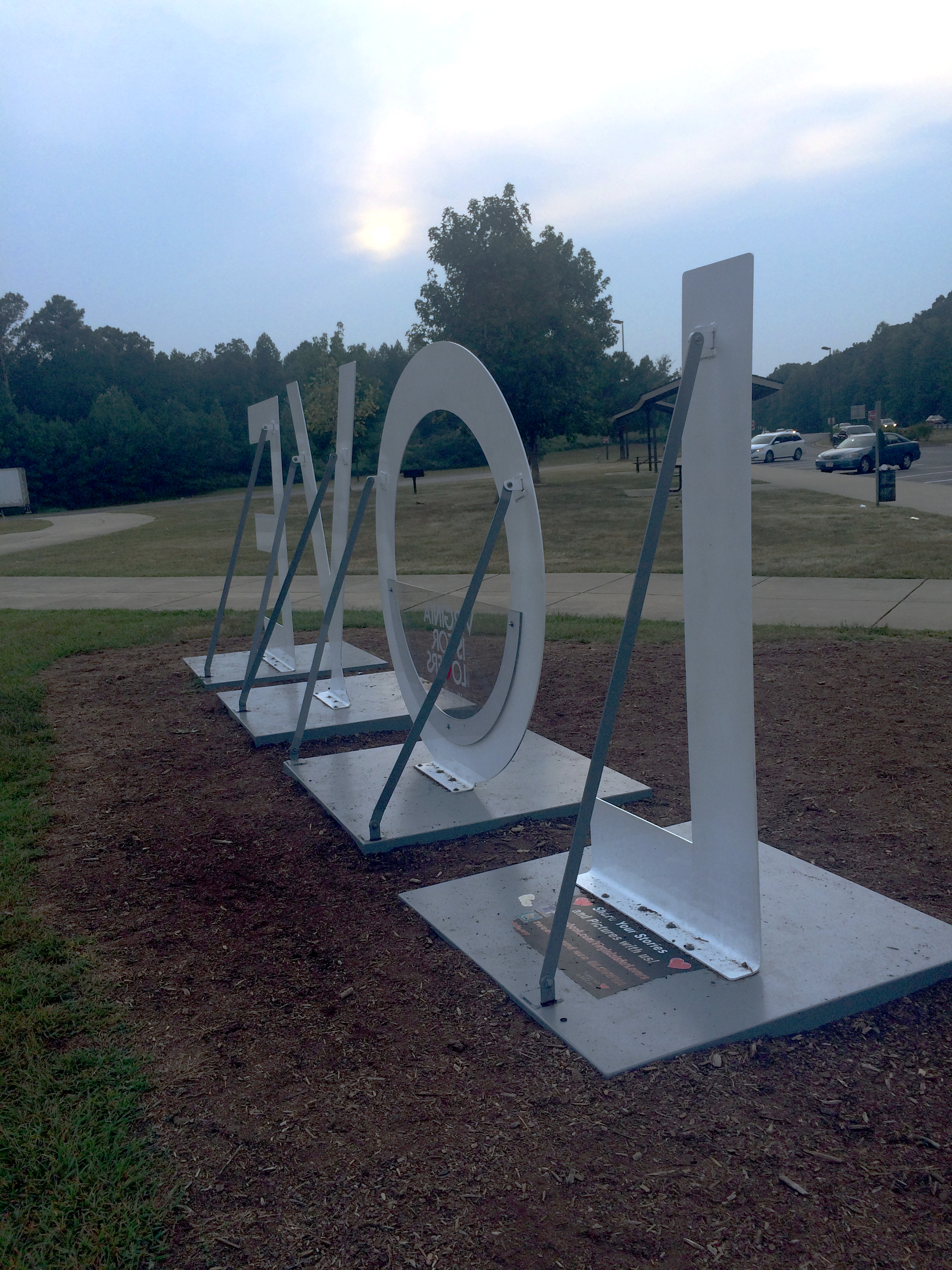
All Is Safe

barkers mill

Dawn in New Kent County, VA
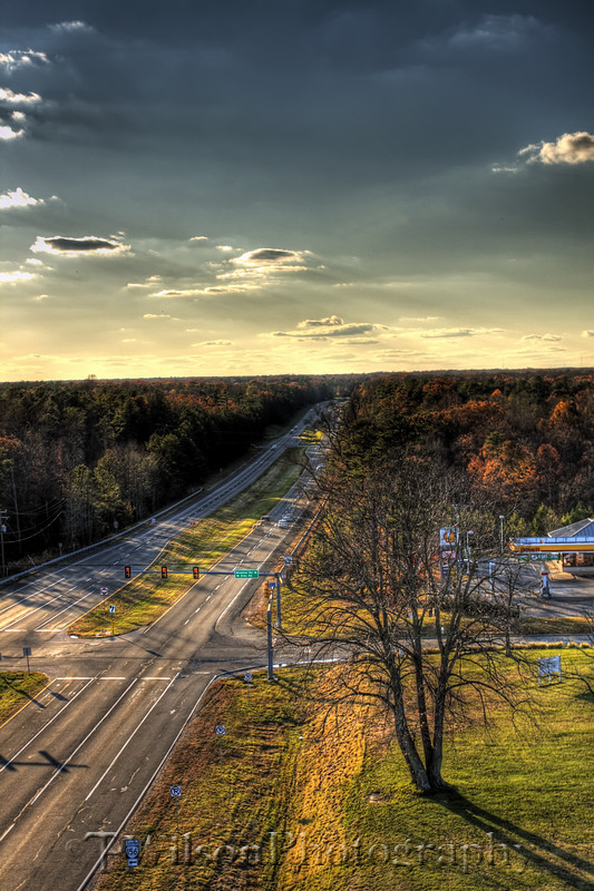
High Above it All

Virginia summer sunset
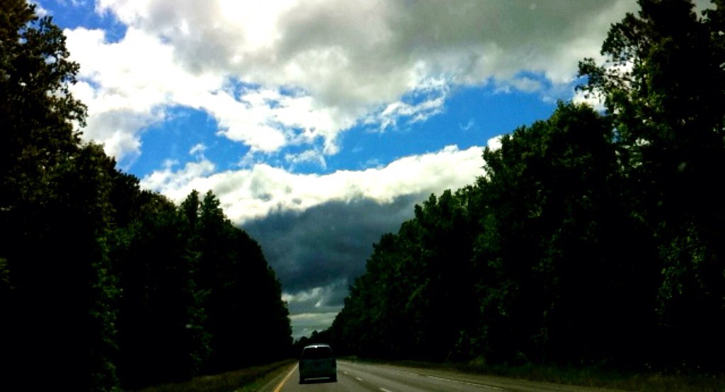
A Little Bit of Blue Sky

Sunset last Wednesday #sunset #clouds #rva

I-64 in Green

Camera Roll-8

*pounce*

Solstice Survival
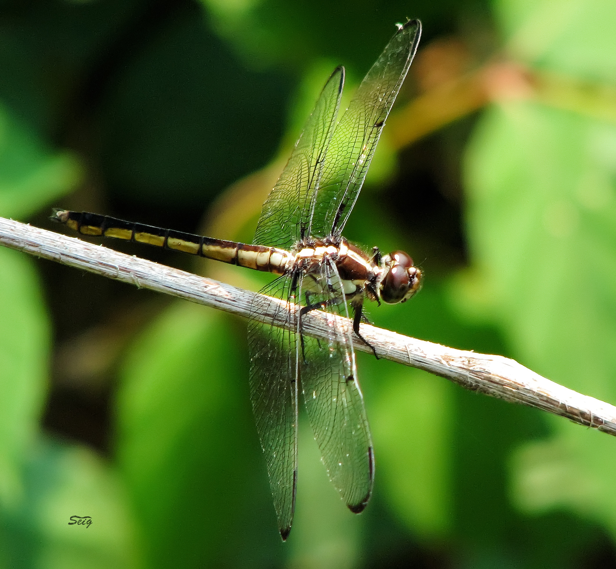
Great Blue Skimmer Libellula vibrans pamunky bird trail_0001
Pumunkey River

Virginia Sunset - Hanover County, VA

White-eyed Vireo

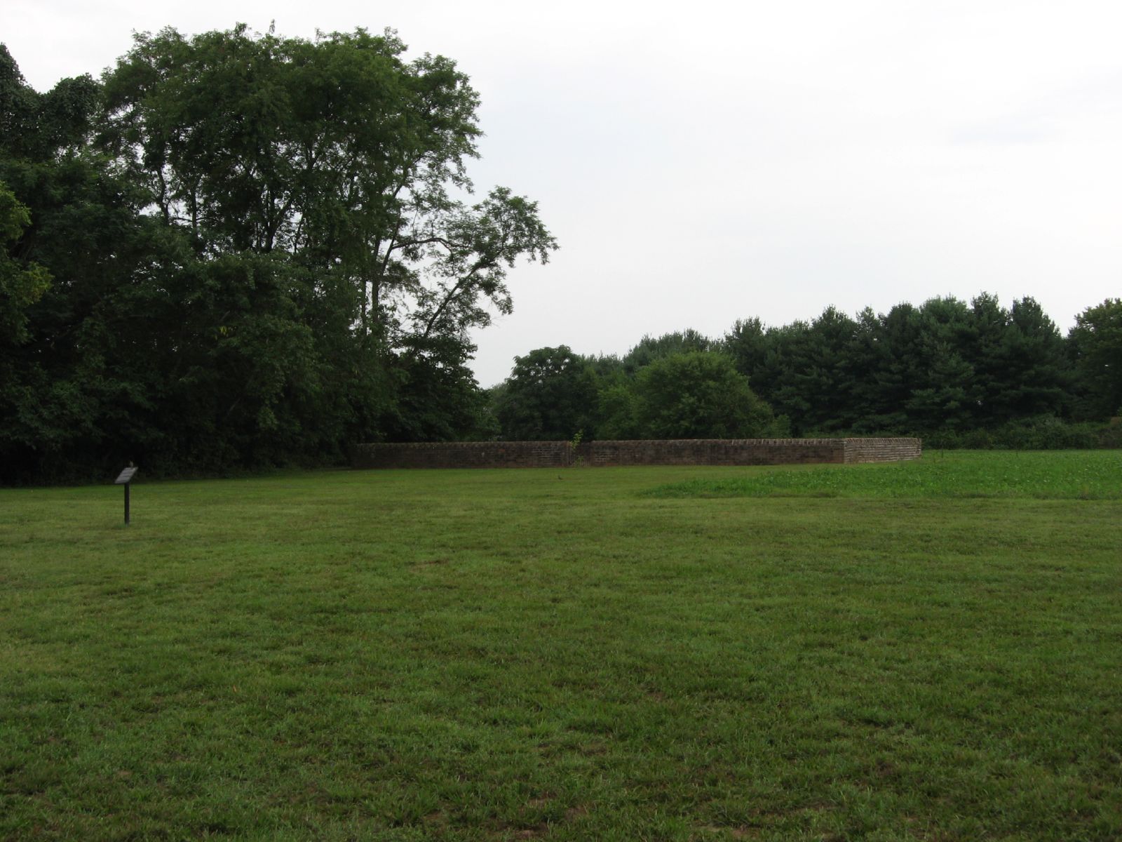
Scrub at Cold Harbor 2011
The big meltdown.

Struggle...hehe
St Peter's Church, New Kent, Virginia
Loss Daylight (Savings Time) Ride
Topographic Map of Old Church Rd, New Kent, VA, USA
Find elevation by address:

Places near Old Church Rd, New Kent, VA, USA:
Old River Rd, New Kent, VA, USA
Buckden Drive
Quinton
8875 Porto Ct
District 1
2134 Ettington Ln
Flannigan Mill Rd, Mechanicsville, VA, USA
8240 E Lord Botetourt Loop
2405 Westwood Rd
3, VA, USA
Autumn Hills Lane
6540 Emmaus Church Rd
1930 Quaker Rd
7493 Patriots Landing Pl
6033 Baileys Ridge Dr
7930 Deer Run Rd
5561 Mcclellan Rd
Barnetts Rd, Providence Forge, VA, USA
Colonial Downs Pkwy, New Kent, VA, USA
10515 Colonial Downs Parkway
Recent Searches:
- Elevation of 6 Rue Jules Ferry, Beausoleil, France
- Elevation of Sattva Horizon, 4JC6+G9P, Vinayak Nagar, Kattigenahalli, Bengaluru, Karnataka, India
- Elevation of Great Brook Sports, Gold Star Hwy, Groton, CT, USA
- Elevation of 10 Mountain Laurels Dr, Nashua, NH, USA
- Elevation of 16 Gilboa Ln, Nashua, NH, USA
- Elevation of Laurel Rd, Townsend, TN, USA
- Elevation of 3 Nestling Wood Dr, Long Valley, NJ, USA
- Elevation of Ilungu, Tanzania
- Elevation of Yellow Springs Road, Yellow Springs Rd, Chester Springs, PA, USA
- Elevation of Rēzekne Municipality, Latvia