Elevation of Old Buck Creek Rd, Longs, SC, USA
Location: United States > South Carolina > Horry County > Longs >
Longitude: -78.735405
Latitude: 34.000774
Elevation: 12m / 39feet
Barometric Pressure: 101KPa
Elevation Map:
Satellite Map:
Related Photos:

rusty pole
Brunswick Plantation
Brunswick Plantation

Twin City Airport-Runway 8
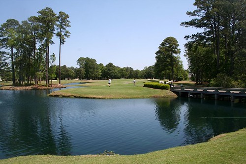
River Hills #1
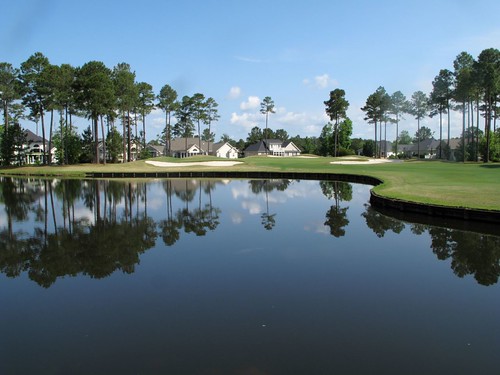
River Hills

LK_20150801_0015_Edit-sm

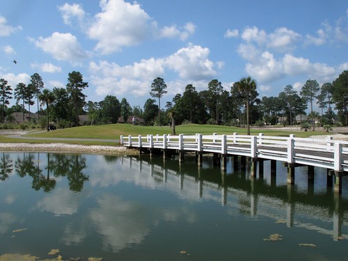
Long Bay Club #18

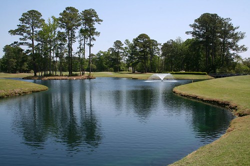
LK_20150801_0217_HDR-sm
LK_20161115_PANHDR5_HDR-sm
Topographic Map of Old Buck Creek Rd, Longs, SC, USA
Find elevation by address:

Places near Old Buck Creek Rd, Longs, SC, USA:
608 Trap Shooter Cir
1720 Lee Ln
373 Harvest Moon Dr
1701 Lee Ln
1701 Mustang Ln
1701 Mustang Ln
1868 Sc-9
1630 Sc-9
1580 Sc-9 #3
1500 Sc-9
Willowtree Rv Resort
1112 Sc-9
333 Marino Trail
Napa Court
Cupola Drive
162 Tomoka Trail
162 Tomoka Trail
Long Bay Golf Course
The Long Bay Golf Club
Cat Briar Court
Recent Searches:
- Elevation of Vista Blvd, Sparks, NV, USA
- Elevation of 15th Ave SE, St. Petersburg, FL, USA
- Elevation of Beall Road, Beall Rd, Florida, USA
- Elevation of Leguwa, Nepal
- Elevation of County Rd, Enterprise, AL, USA
- Elevation of Kolchuginsky District, Vladimir Oblast, Russia
- Elevation of Shustino, Vladimir Oblast, Russia
- Elevation of Lampiasi St, Sarasota, FL, USA
- Elevation of Elwyn Dr, Roanoke Rapids, NC, USA
- Elevation of Congressional Dr, Stevensville, MD, USA