Elevation of Lee Ln, Longs, SC, USA
Location: United States > South Carolina > Horry County > Longs >
Longitude: -78.739911
Latitude: 33.986026
Elevation: 12m / 39feet
Barometric Pressure: 101KPa
Elevation Map:
Satellite Map:
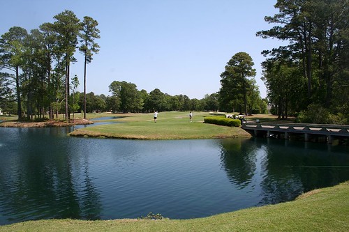
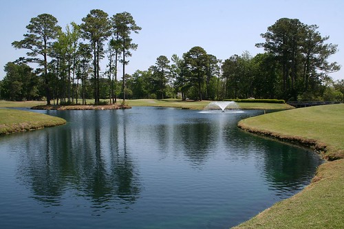
Related Photos:

Royal River Cruiser (Macromia taeniolata), Dorsal View
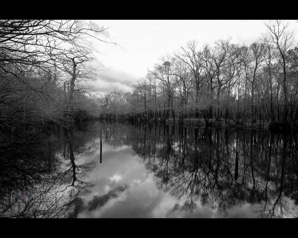
winter stillness

rusty pole
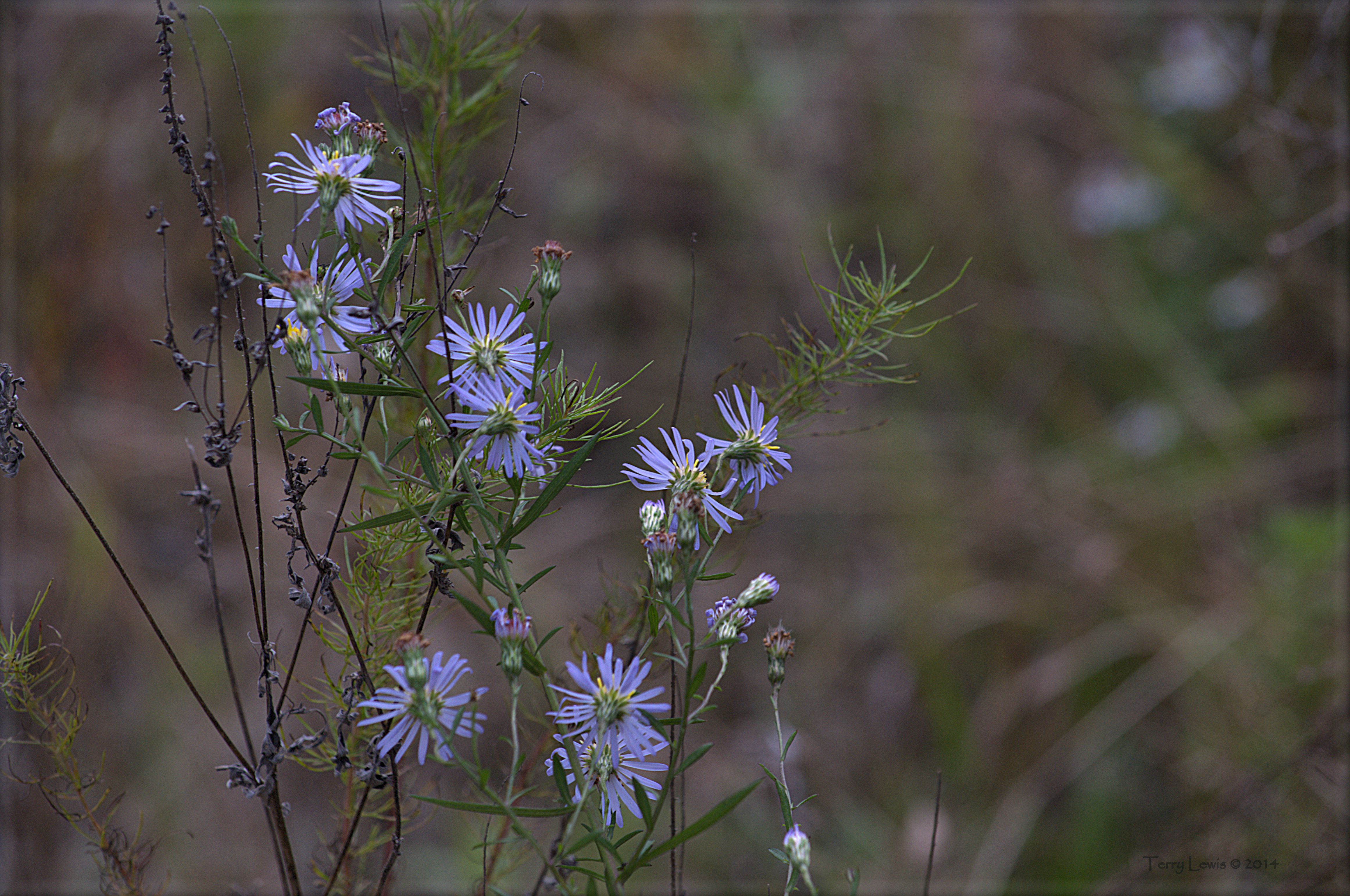
Autumn Wildflower 1

Royal River Cruiser (Macromia taeniolata), Lateral View
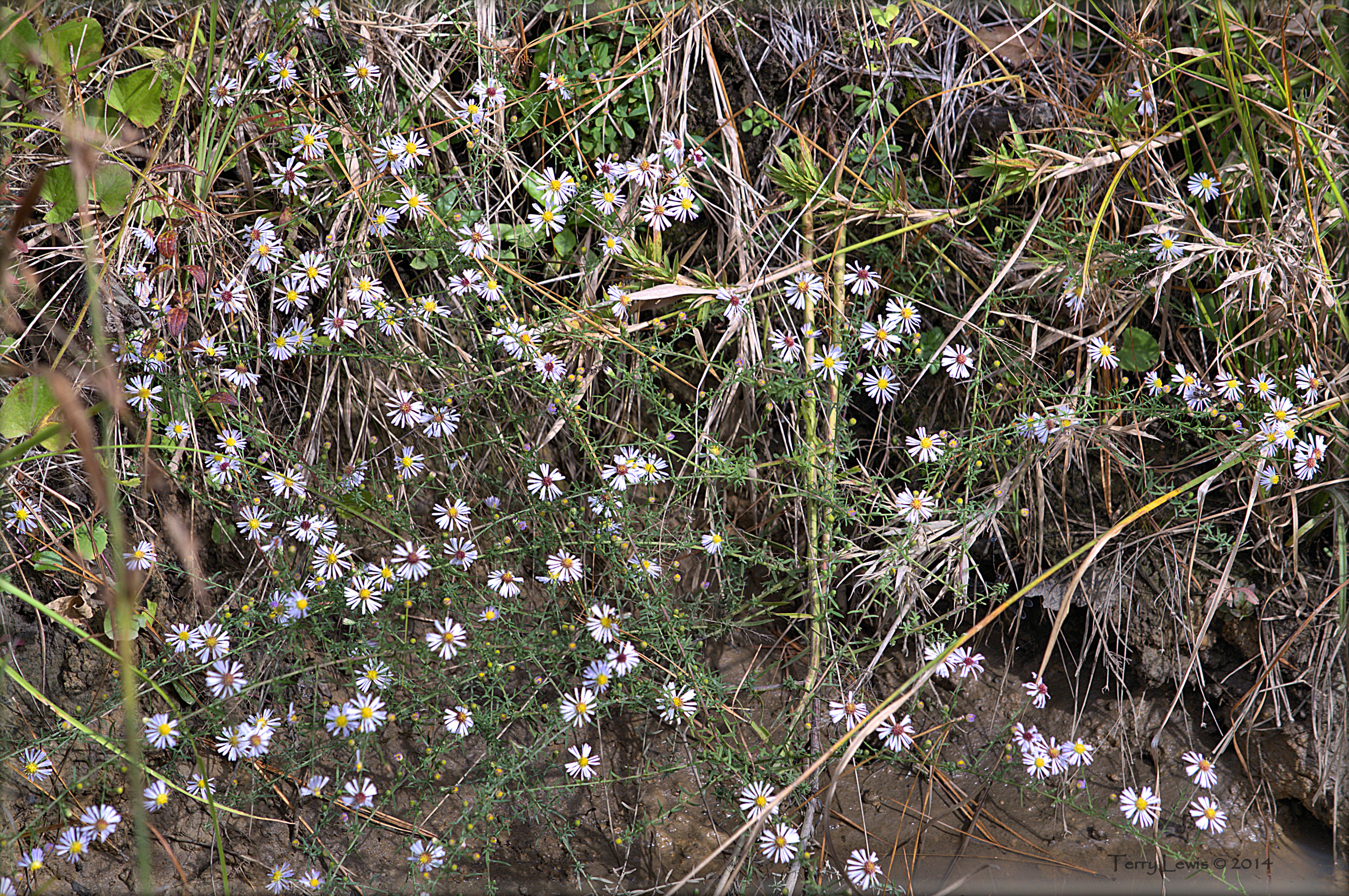
Autumn Wildflower 2

IMG_0037.jpg

IMG_7055.jpg
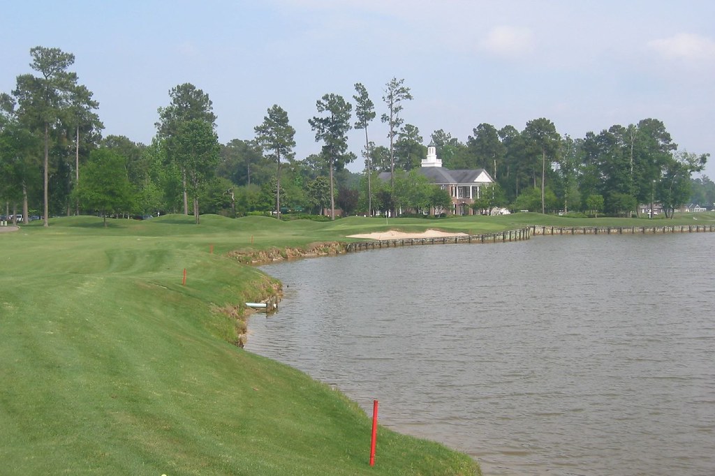
Brunswick Plantation
Brunswick Plantation
River Hills #1
River Hills

LK_20150801_0015_Edit-sm
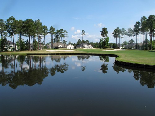
Long Bay Club #18

LK_20150801_0217_HDR-sm
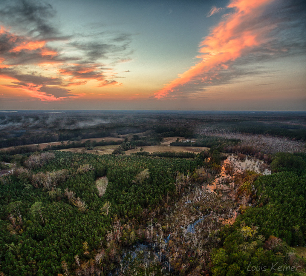
LK_20161115_PANHDR5_HDR-sm
Topographic Map of Lee Ln, Longs, SC, USA
Find elevation by address:

Places near Lee Ln, Longs, SC, USA:
1720 Lee Ln
1701 Mustang Ln
1701 Mustang Ln
373 Harvest Moon Dr
1868 Sc-9
1630 Sc-9
1580 Sc-9 #3
1500 Sc-9
3799 Old Buck Creek Rd
1112 Sc-9
333 Marino Trail
Napa Court
Cupola Drive
162 Tomoka Trail
162 Tomoka Trail
608 Trap Shooter Cir
Long Bay Golf Course
Willowtree Rv Resort
The Long Bay Golf Club
Cat Briar Court
Recent Searches:
- Elevation of 6 Rue Jules Ferry, Beausoleil, France
- Elevation of Sattva Horizon, 4JC6+G9P, Vinayak Nagar, Kattigenahalli, Bengaluru, Karnataka, India
- Elevation of Great Brook Sports, Gold Star Hwy, Groton, CT, USA
- Elevation of 10 Mountain Laurels Dr, Nashua, NH, USA
- Elevation of 16 Gilboa Ln, Nashua, NH, USA
- Elevation of Laurel Rd, Townsend, TN, USA
- Elevation of 3 Nestling Wood Dr, Long Valley, NJ, USA
- Elevation of Ilungu, Tanzania
- Elevation of Yellow Springs Road, Yellow Springs Rd, Chester Springs, PA, USA
- Elevation of Rēzekne Municipality, Latvia