Elevation of Old Augusta Hwy, Grovetown, GA, USA
Location: United States > Georgia > Columbia County > Grovetown >
Longitude: -82.252991
Latitude: 33.4074
Elevation: 148m / 486feet
Barometric Pressure: 100KPa
Elevation Map:
Satellite Map:
Related Photos:

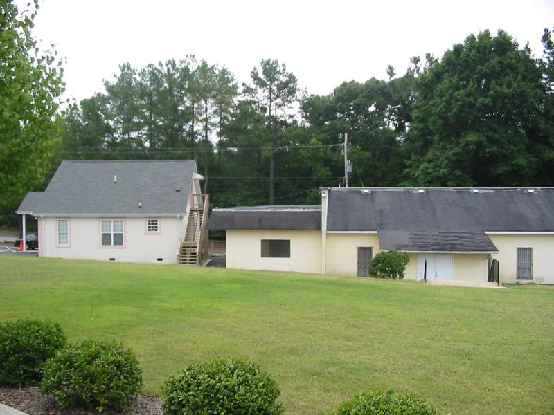
My view

the view from my office

Signal BOLC III Field Exercise
Hindu Temple Society of Augusta (Hindu/Jain Temple) (2004)
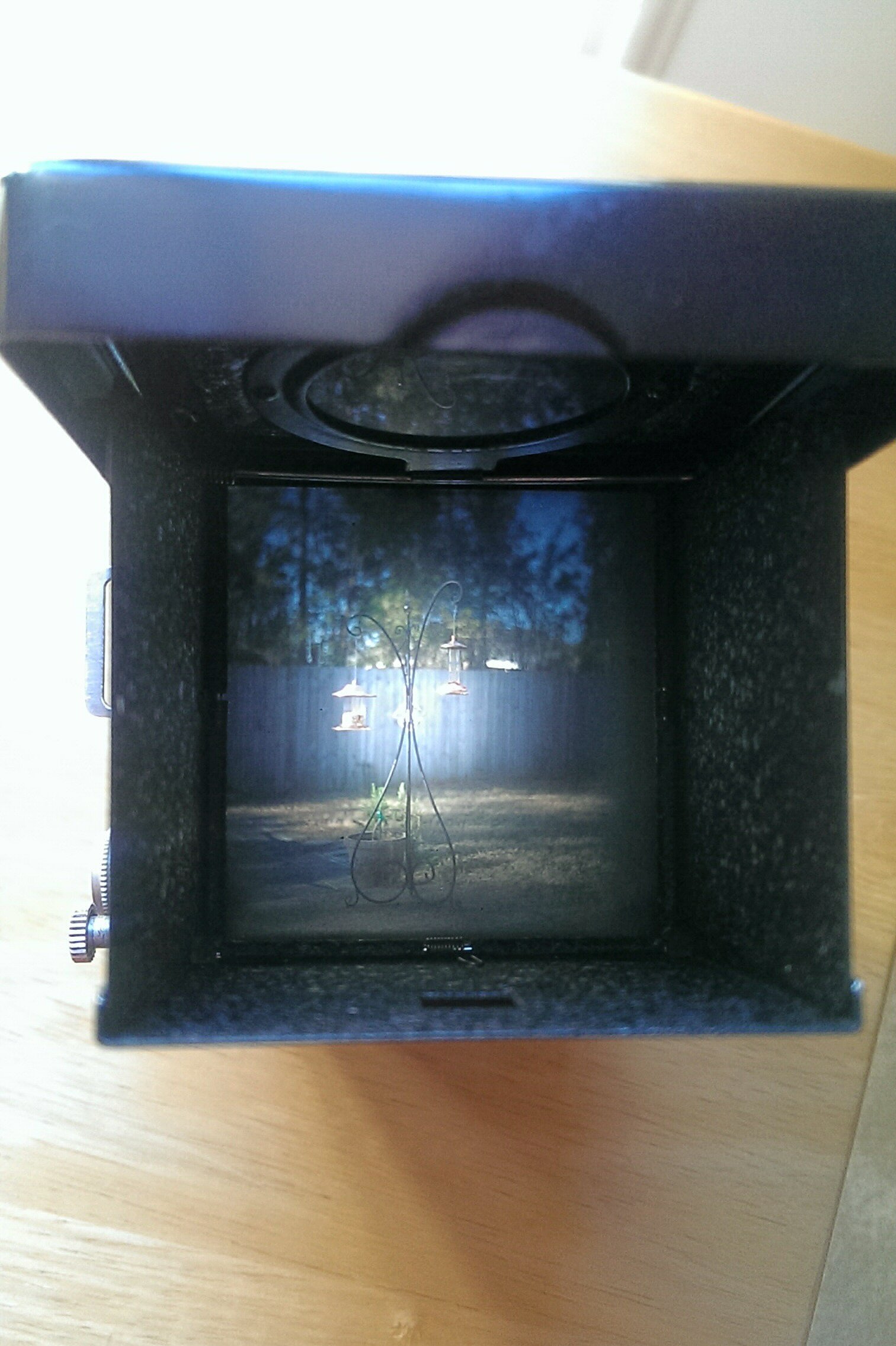
Flexaret restored

Anybody Home?

Road Trip Photos

Pecan Grove Field

Euchee Park

A nice sunset over Barton Field

Signal BOLC III Field Exercise

Evening woods

Heggies Rock

through the trees
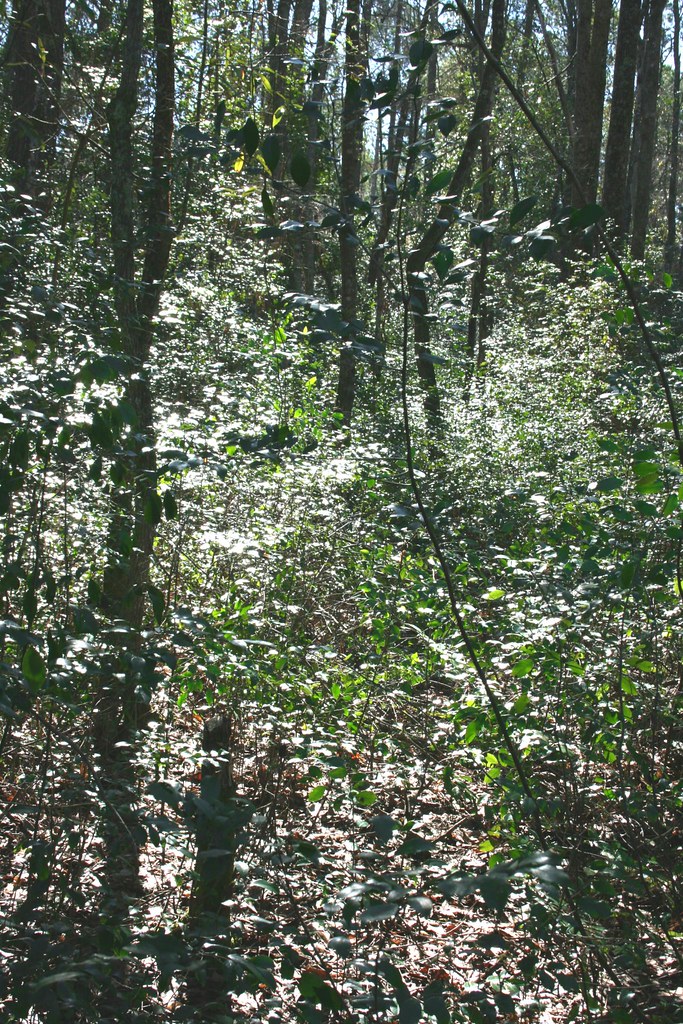
Sparkeling Woods
Topographic Map of Old Augusta Hwy, Grovetown, GA, USA
Find elevation by address:

Places near Old Augusta Hwy, Grovetown, GA, USA:
922 Carlene Dr
969 Carlene Dr
900 Haverhill Dr
Cannock St, Grovetown, GA, USA
409 Newmantown Rd
Vfw Road
Grovetown, GA, USA
Grovetown
945 Bryan Cir
234 Taylor Cir
Canterbury Farms
4087 Ellington Dr
315 Brentford Ave
700 Horizon S Pkwy
Fort Gordon
Barnes Avenue
5180 Bluegrass Trail
5153 Bluegrass Trail
24701 Chamberlain Ave
Back Hall
Recent Searches:
- Elevation of Elwyn Dr, Roanoke Rapids, NC, USA
- Elevation of Congressional Dr, Stevensville, MD, USA
- Elevation of Bellview Rd, McLean, VA, USA
- Elevation of Stage Island Rd, Chatham, MA, USA
- Elevation of Shibuya Scramble Crossing, 21 Udagawacho, Shibuya City, Tokyo -, Japan
- Elevation of Jadagoniai, Kaunas District Municipality, Lithuania
- Elevation of Pagonija rock, Kranto 7-oji g. 8"N, Kaunas, Lithuania
- Elevation of Co Rd 87, Jamestown, CO, USA
- Elevation of Tenjo, Cundinamarca, Colombia
- Elevation of Côte-des-Neiges, Montreal, QC H4A 3J6, Canada