Elevation of Haverhill Dr, Harlem, GA, USA
Location: United States > Georgia > Columbia County > Harlem >
Longitude: -82.263825
Latitude: 33.432672
Elevation: 124m / 407feet
Barometric Pressure: 100KPa
Elevation Map:
Satellite Map:
Related Photos:
My Cousin David's House

Signal BOLC III Field Exercise

panoramic view of the main room
Flexaret restored

Road Trip Photos

Anybody Home?

Evening woods

Heggies Rock

Pecan Grove Field

sand after a rain
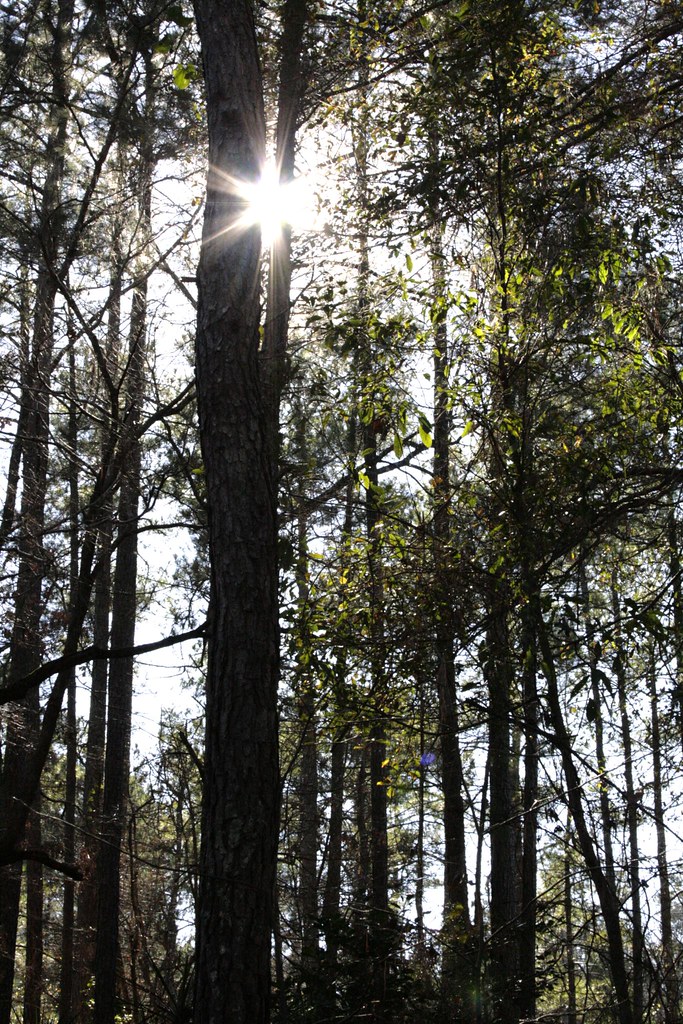
through the trees

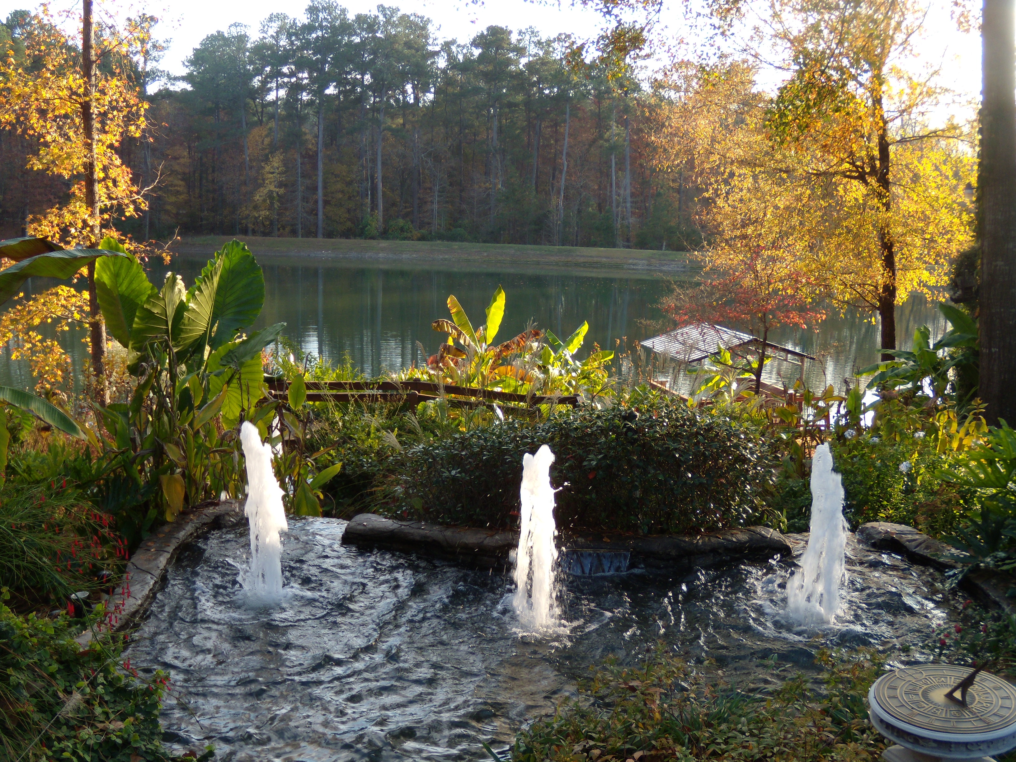
Quiet Pond
Topographic Map of Haverhill Dr, Harlem, GA, USA
Find elevation by address:

Places near Haverhill Dr, Harlem, GA, USA:
969 Carlene Dr
922 Carlene Dr
Old Augusta Hwy, Grovetown, GA, USA
Cannock St, Grovetown, GA, USA
Canterbury Farms
409 Newmantown Rd
4087 Ellington Dr
315 Brentford Ave
Vfw Road
Grovetown
Grovetown, GA, USA
945 Bryan Cir
234 Taylor Cir
Columbia County
5180 Bluegrass Trail
700 Horizon S Pkwy
1951 Long Creek Falls
5153 Bluegrass Trail
5120 Autumn Ct
Columbia Road
Recent Searches:
- Elevation of Elwyn Dr, Roanoke Rapids, NC, USA
- Elevation of Congressional Dr, Stevensville, MD, USA
- Elevation of Bellview Rd, McLean, VA, USA
- Elevation of Stage Island Rd, Chatham, MA, USA
- Elevation of Shibuya Scramble Crossing, 21 Udagawacho, Shibuya City, Tokyo -, Japan
- Elevation of Jadagoniai, Kaunas District Municipality, Lithuania
- Elevation of Pagonija rock, Kranto 7-oji g. 8"N, Kaunas, Lithuania
- Elevation of Co Rd 87, Jamestown, CO, USA
- Elevation of Tenjo, Cundinamarca, Colombia
- Elevation of Côte-des-Neiges, Montreal, QC H4A 3J6, Canada