Elevation of Ohio Township, IL, USA
Location: United States > Illinois > Bureau County >
Longitude: -89.455308
Latitude: 41.5399767
Elevation: 254m / 833feet
Barometric Pressure: 98KPa
Elevation Map:
Satellite Map:
Related Photos:

Big Bureau Creek (North Bank, View Northeast)

Good Light,Nice Country Views

Walnut, IL American Legion Hall M60 Tank

2011-03-26 07.15.38
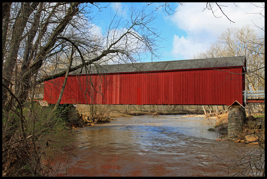
Red Covered Bridge

Tracking the Sun
Intrepid.

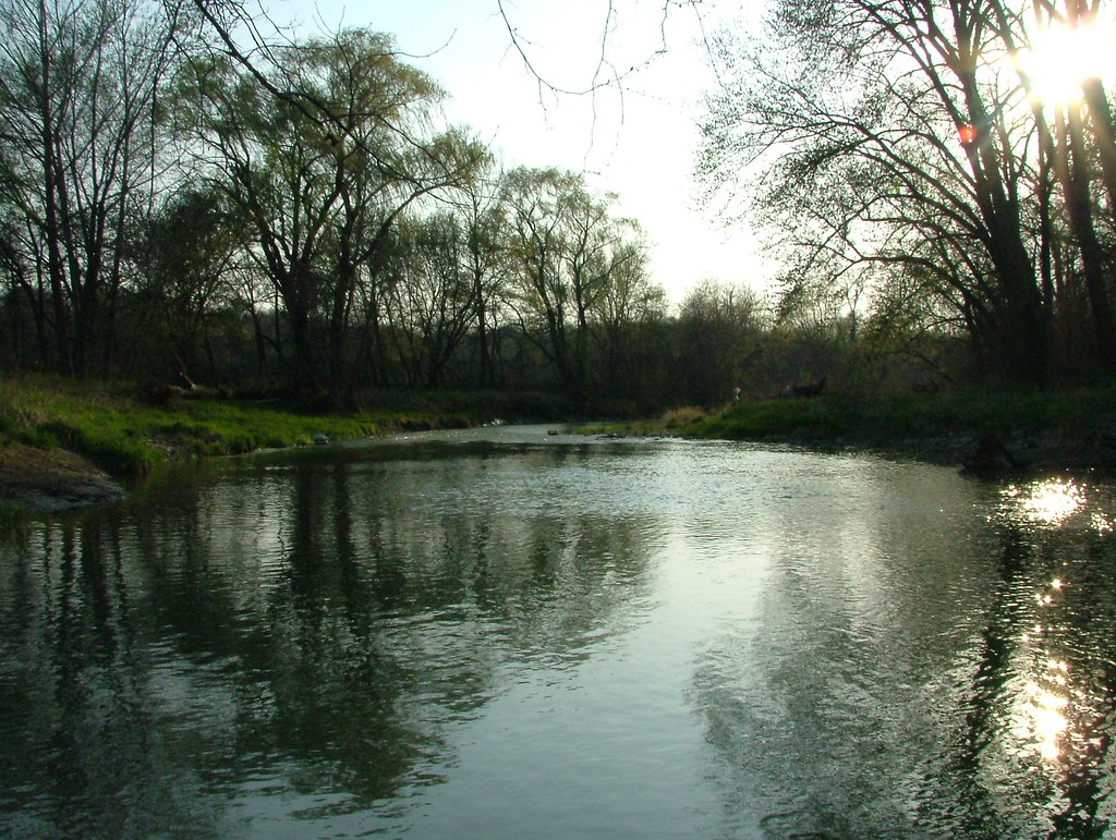
Big Bureau Creek

Winter Along the Big Bureau Creek
Under the Bridge

Green River Sunrise

Gold and Fog

Sky20x15#0010

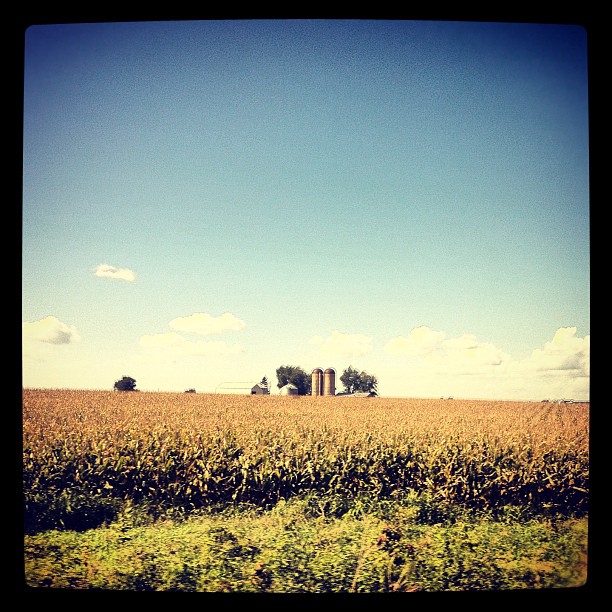
20100612 02 Corn, Princeton, Illinois
Topographic Map of Ohio Township, IL, USA
Find elevation by address:

Places in Ohio Township, IL, USA:
Places near Ohio Township, IL, USA:
Ohio
County Rd N, Ohio, IL, USA
18349 Co Rd 22
18349 Co Rd 22
Walnut Township
La Moille
Dover
522 Reuter Rd
Liberty St, Walnut, IL, USA
Walnut
Berlin Township
Malden
Marion Township
Princeton Township
2 S Main St
Blue Jay Way Records
Princeton
Angling Road
95 S Main St, La Moille, IL, USA
La Moille
Recent Searches:
- Elevation of Corso Fratelli Cairoli, 35, Macerata MC, Italy
- Elevation of Tallevast Rd, Sarasota, FL, USA
- Elevation of 4th St E, Sonoma, CA, USA
- Elevation of Black Hollow Rd, Pennsdale, PA, USA
- Elevation of Oakland Ave, Williamsport, PA, USA
- Elevation of Pedrógão Grande, Portugal
- Elevation of Klee Dr, Martinsburg, WV, USA
- Elevation of Via Roma, Pieranica CR, Italy
- Elevation of Tavkvetili Mountain, Georgia
- Elevation of Hartfords Bluff Cir, Mt Pleasant, SC, USA