Elevation of Walnut Township, IL, USA
Location: United States > Illinois > Bureau County >
Longitude: -89.568627
Latitude: 41.5404558
Elevation: 230m / 755feet
Barometric Pressure: 99KPa
Elevation Map:
Satellite Map:
Related Photos:

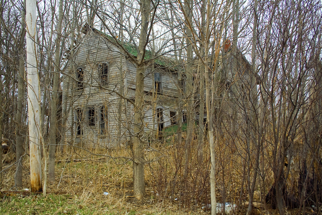
Walnut, IL American Legion Hall M60 Tank

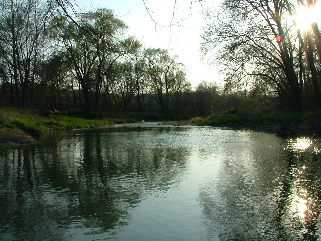
Big Bureau Creek (North Bank, View Northeast)

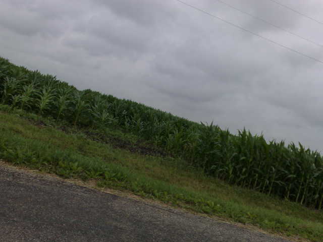
Road to the Fog
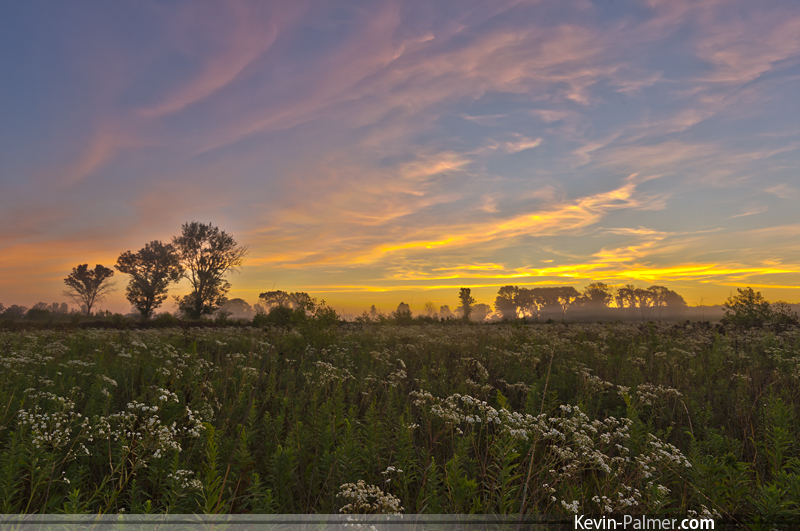
Green River Sunrise
Ill 40 Bureau County 1

Gold and Fog
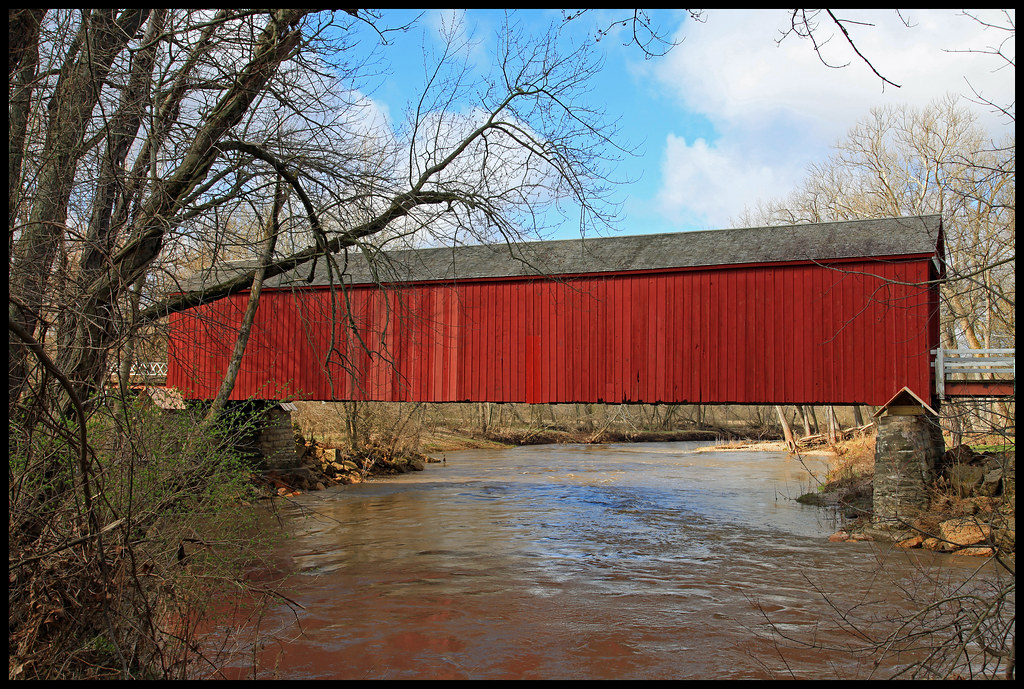
Red Covered Bridge
Big Bureau Creek

Blue Steel took a picture!
Under the Bridge

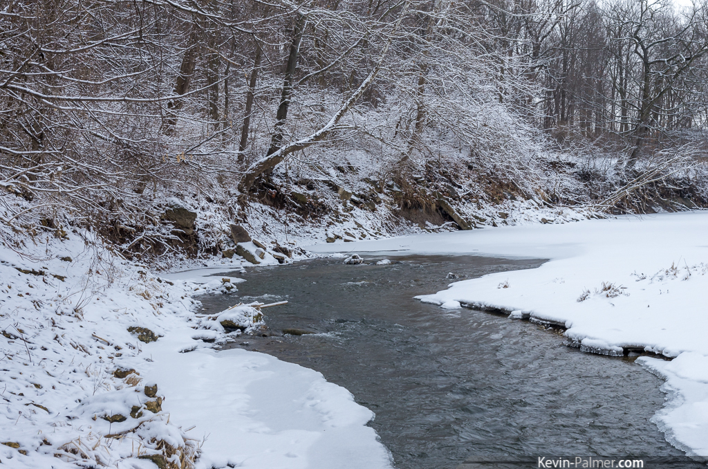
Winter Along the Big Bureau Creek
Blue Steel took a picture!
Blue Steel took a picture!
Sky20x15#0010
Blue Steel took a picture!
Topographic Map of Walnut Township, IL, USA
Find elevation by address:

Places in Walnut Township, IL, USA:
Places near Walnut Township, IL, USA:
Liberty St, Walnut, IL, USA
Walnut
18349 Co Rd 22
18349 Co Rd 22
Ohio
County Rd N, Ohio, IL, USA
Ohio Township
N 2nd St, Sheffield, IL, USA
Manlius
Manlius Township
Deer Grove
Hahnaman Township
Hoover Rd, Deer Grove, IL, USA
522 Reuter Rd
Wyanet
2 S Main St
Marion Township
Concord Township
Princeton Township
Blue Jay Way Records
Recent Searches:
- Elevation of Zimmer Trail, Pennsylvania, USA
- Elevation of 87 Kilmartin Ave, Bristol, CT, USA
- Elevation of Honghe National Nature Reserve, QP95+PJP, Tongjiang, Heilongjiang, Jiamusi, Heilongjiang, China
- Elevation of Hercules Dr, Colorado Springs, CO, USA
- Elevation of Szlak pieszy czarny, Poland
- Elevation of Griffing Blvd, Biscayne Park, FL, USA
- Elevation of Kreuzburger Weg 13, Düsseldorf, Germany
- Elevation of Gateway Blvd SE, Canton, OH, USA
- Elevation of East W.T. Harris Boulevard, E W.T. Harris Blvd, Charlotte, NC, USA
- Elevation of West Sugar Creek, Charlotte, NC, USA