Elevation of OH-78, McConnelsville, OH, USA
Location: United States > Ohio > Morgan County >
Longitude: -81.660959
Latitude: 39.6868977
Elevation: 300m / 984feet
Barometric Pressure: 98KPa
Elevation Map:
Satellite Map:
Related Photos:

End View O.R.& W. Caboose and Shelter
View from Big Muskie

View from the bucket
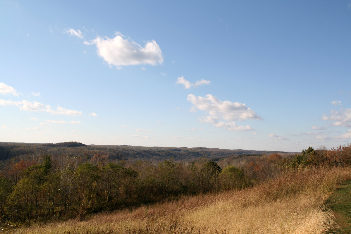
Crooked Tree, Ohio

Side view

Shovel view

MPB 35-58-02, Morgan County, Ohio
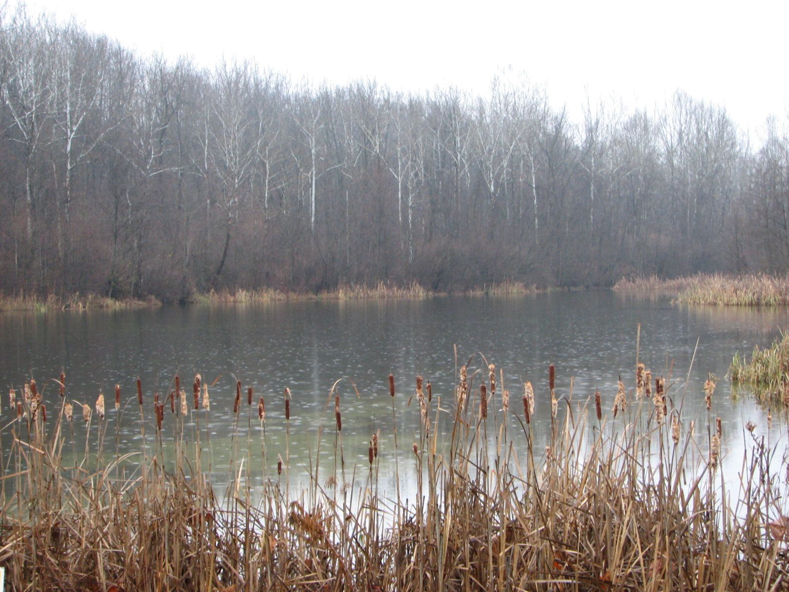
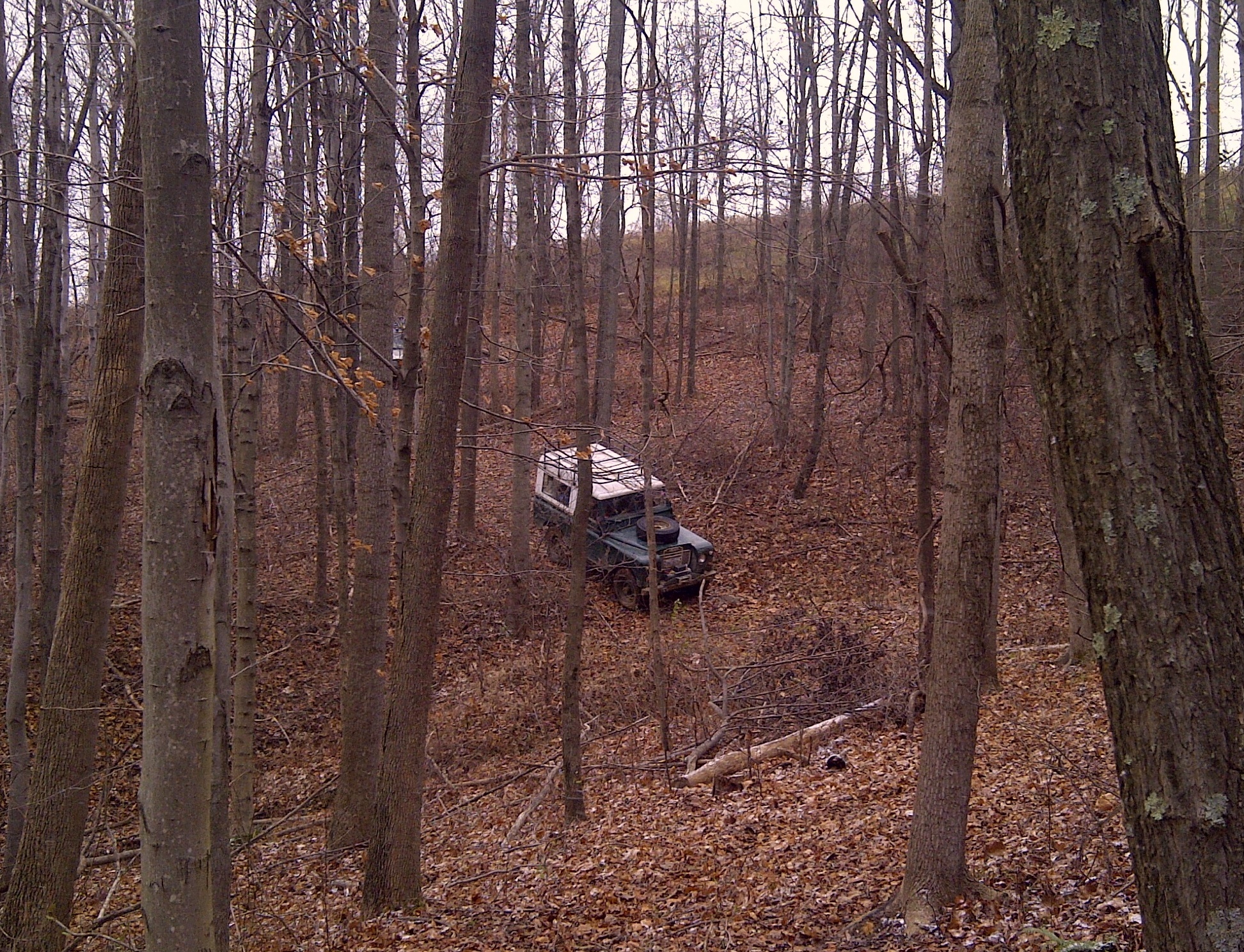
November rain
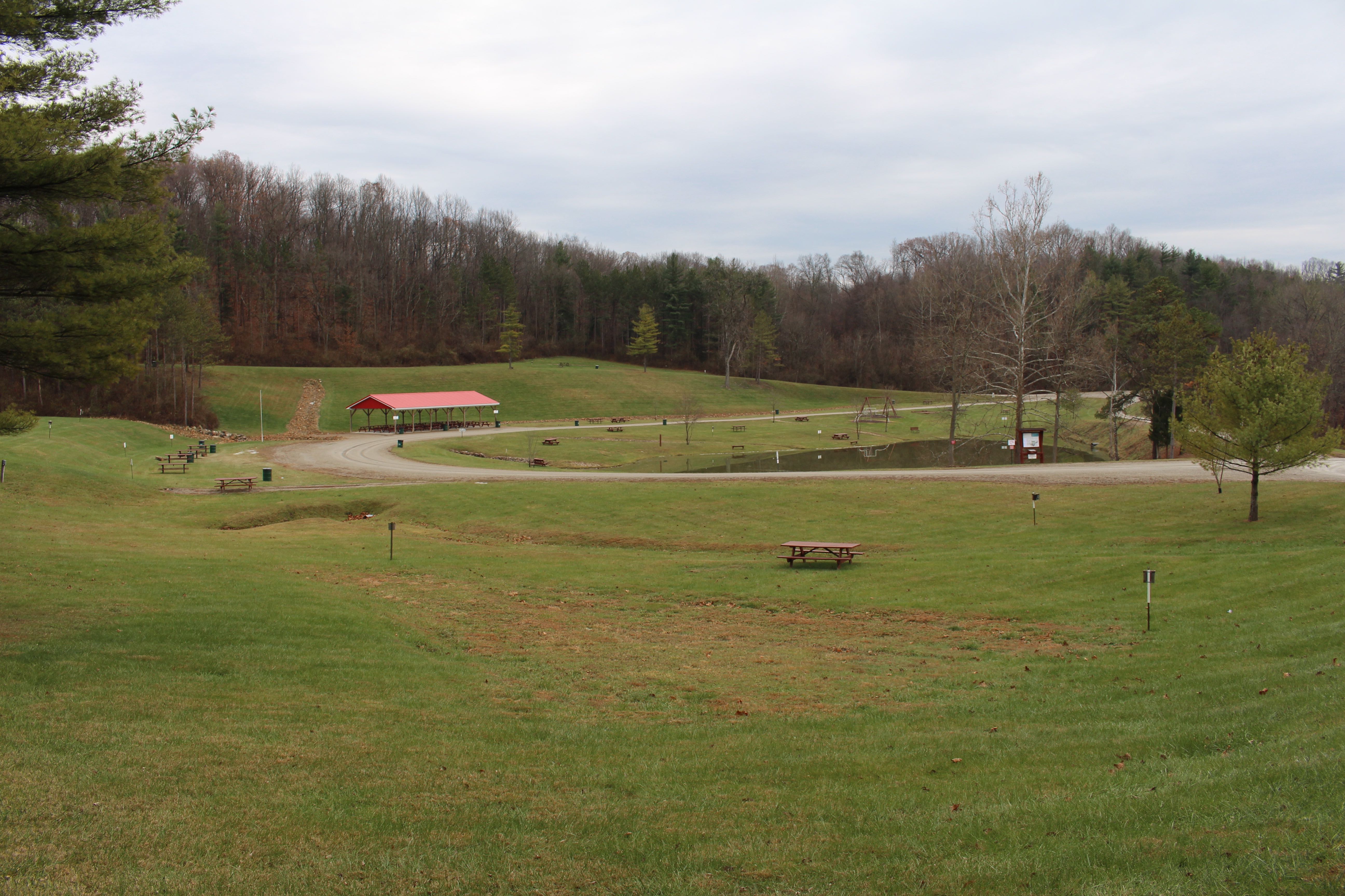
AEP Park A Campsite
Meigs-20121124-00015

Ford Falcon
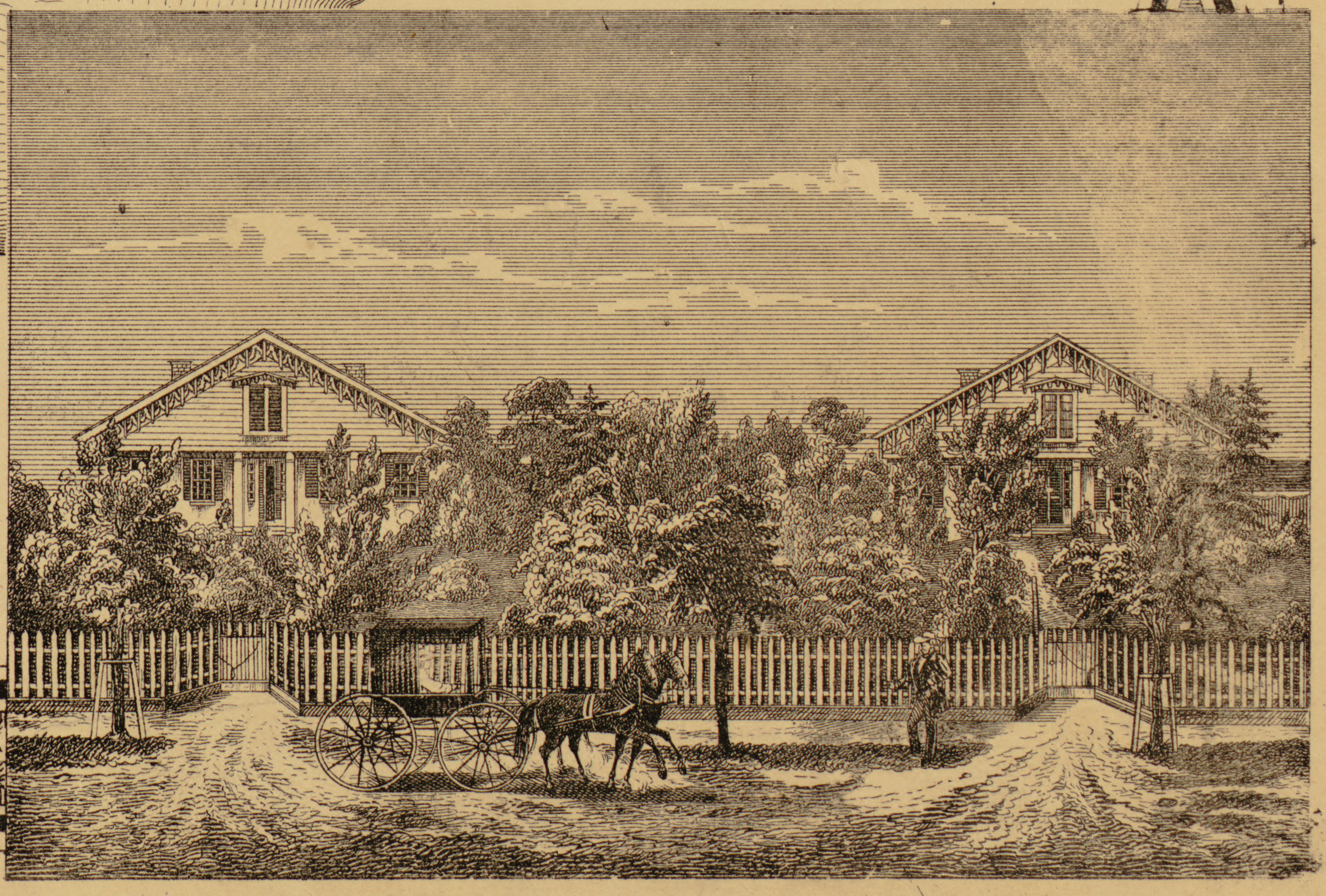
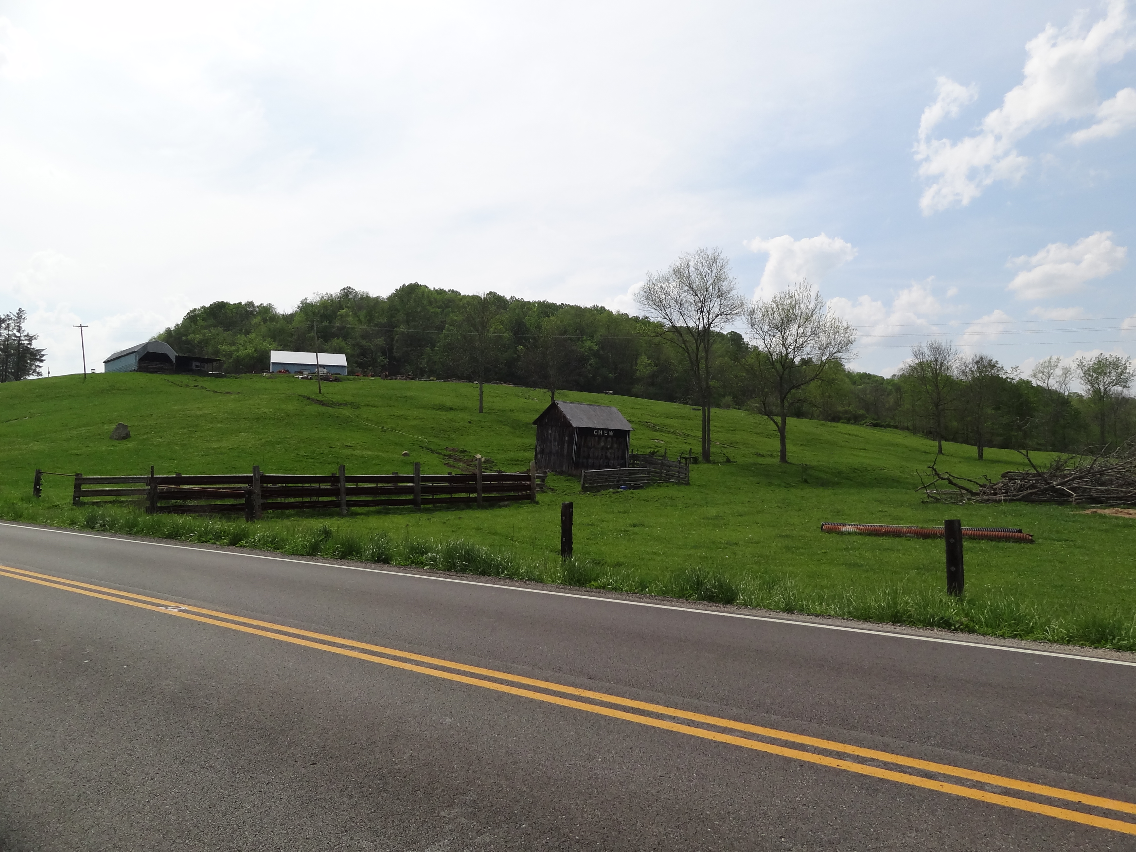
Residences of E.S. and William McIntosh, Beverly
DSC06618.jpg
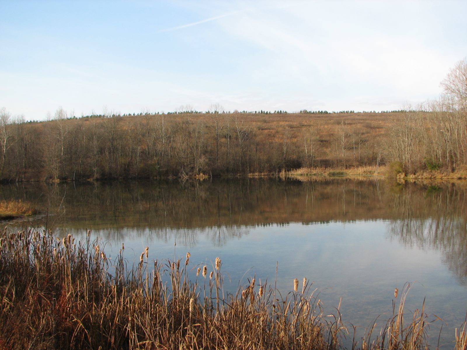
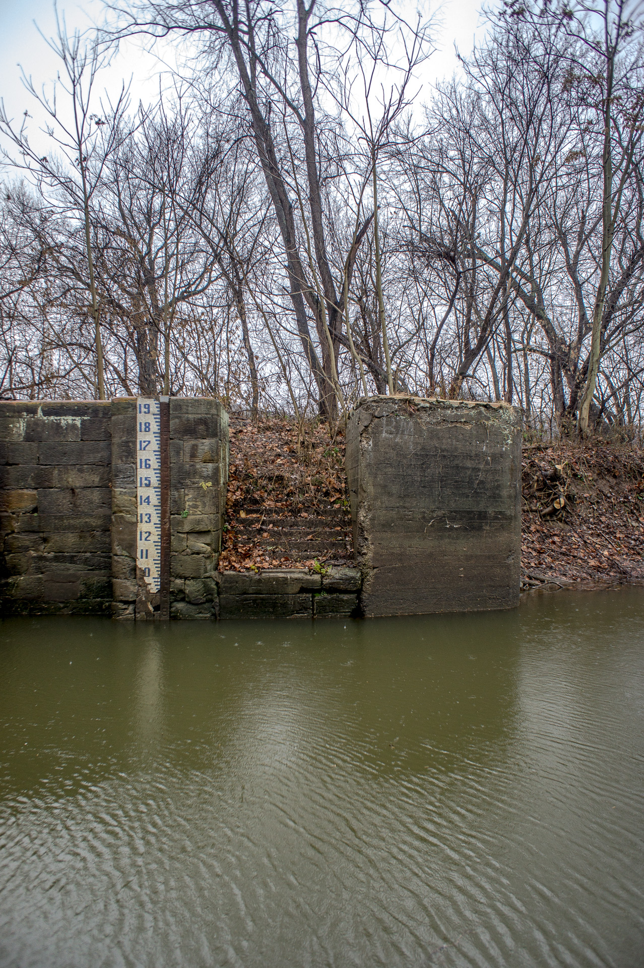
AEP Lake

Equity flats

Equity, OH
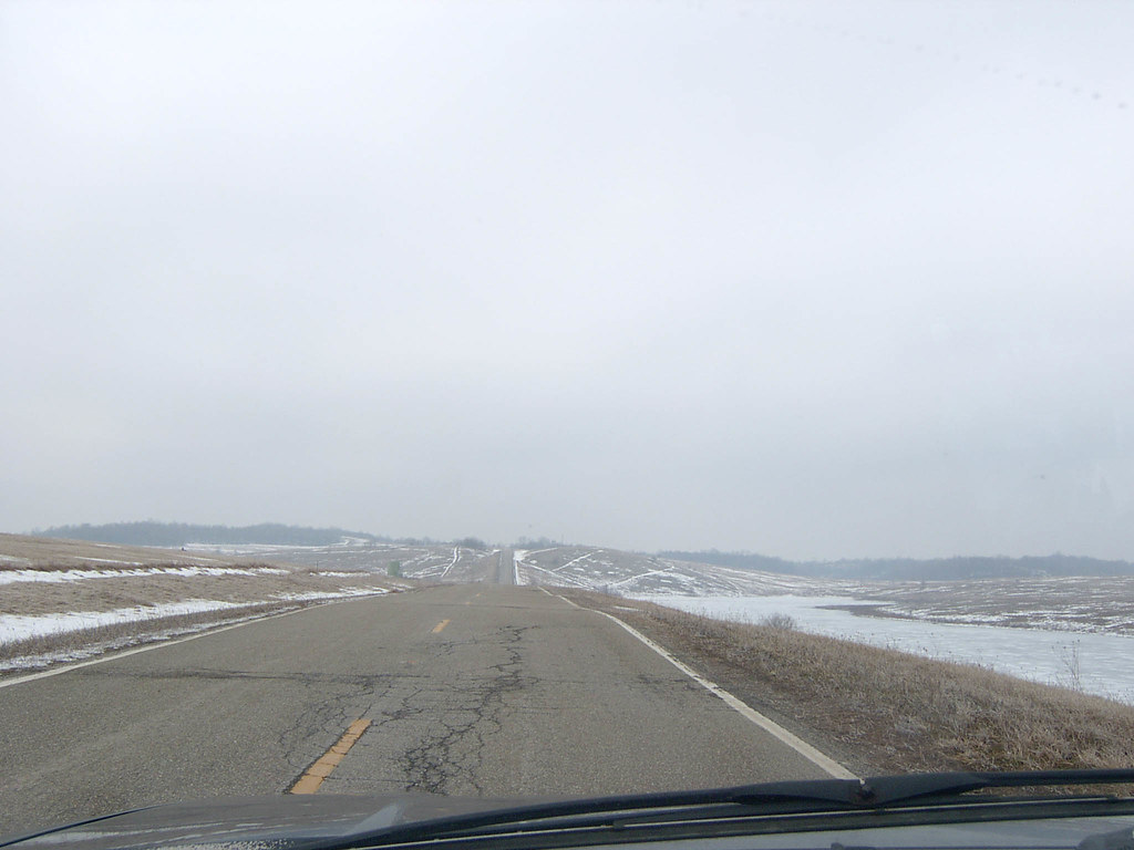
SR 340 in Muskingum County, OH
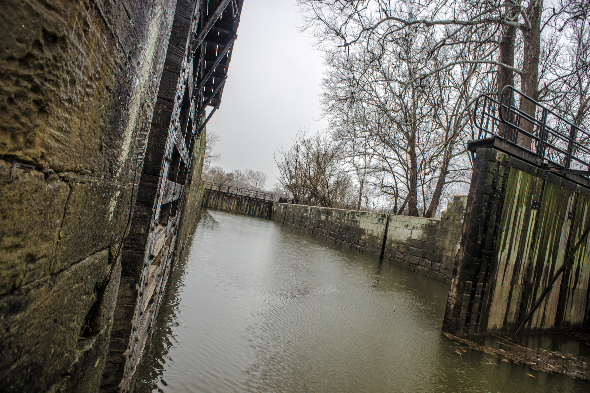
DSC06617.jpg
IMG-20121124-00070
MPB 35-58-02, Morgan County, Ohio

Equity Flats

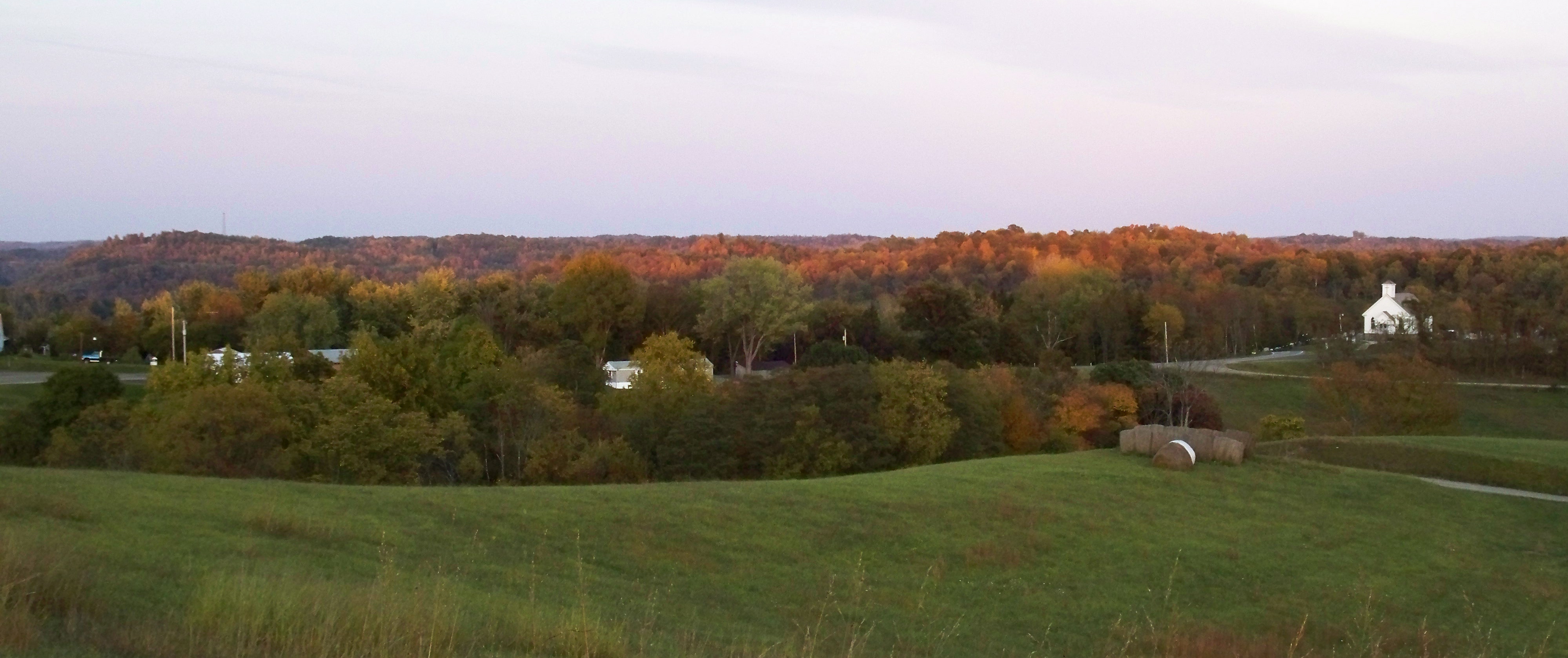
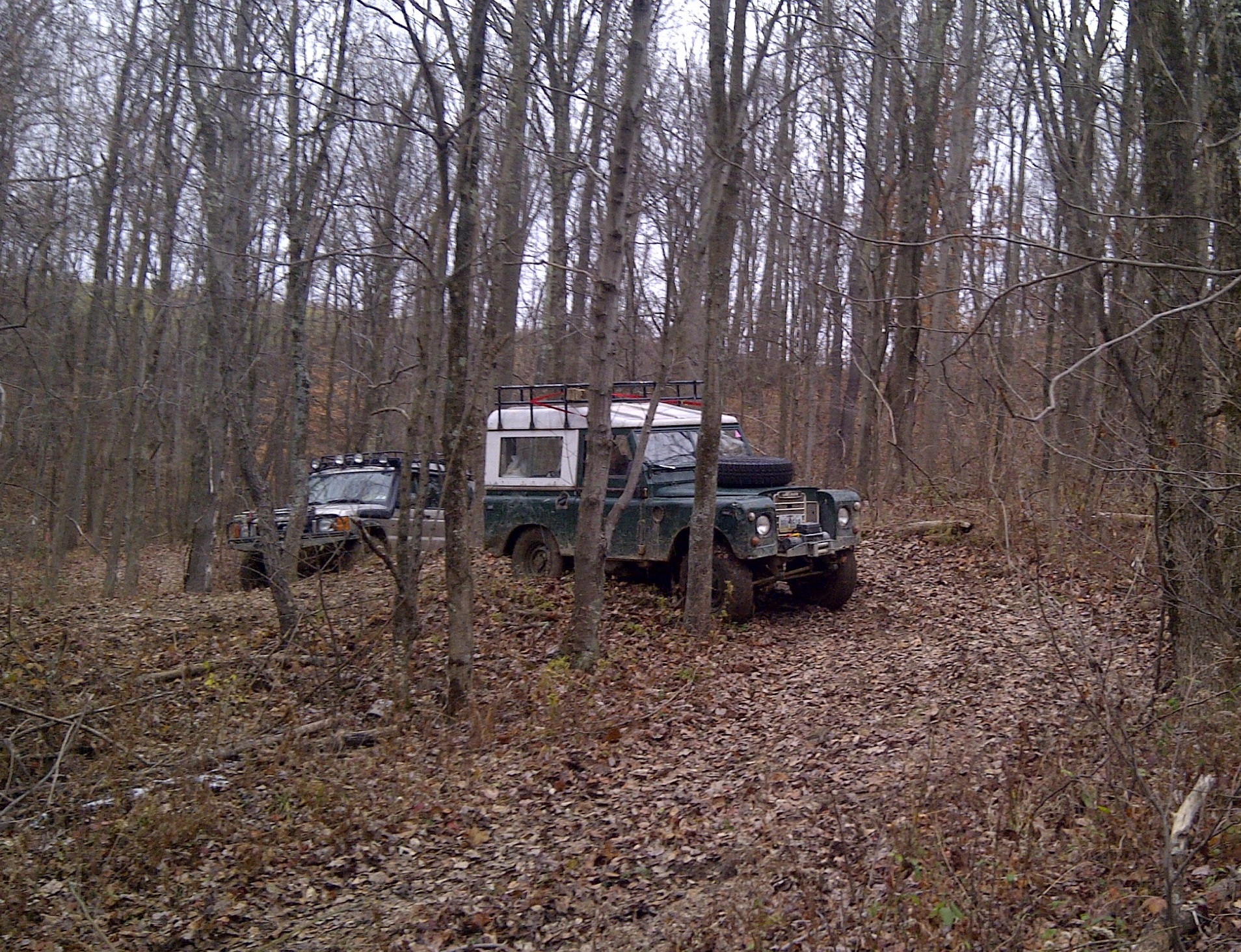
Noble County, Ohio
Noble County, Ohio
Noble County, Ohio
Noble County, Ohio
Noble County, Ohio
Topographic Map of OH-78, McConnelsville, OH, USA
Find elevation by address:

Places near OH-78, McConnelsville, OH, USA:
1780 Center Bend Rd
Finkle Hill Rd, Beverly, OH, USA
OH-83, Beverly, OH, USA
Meigsville Township
Sparling Rd, Waterford, OH, USA
OH-60, McConnelsville, OH, USA
McConnelsville, OH, USA
1650 Point Lookout Rd
Morgan County
Morgan Township
5540 Dugan Rd
270 E Main St
Mcconnelsville
233 Shrivers Rd
Malta
5th St, Malta, OH, USA
6785 Oh-60
Pennsville
Malta Township
Penn Township
Recent Searches:
- Elevation of Corso Fratelli Cairoli, 35, Macerata MC, Italy
- Elevation of Tallevast Rd, Sarasota, FL, USA
- Elevation of 4th St E, Sonoma, CA, USA
- Elevation of Black Hollow Rd, Pennsdale, PA, USA
- Elevation of Oakland Ave, Williamsport, PA, USA
- Elevation of Pedrógão Grande, Portugal
- Elevation of Klee Dr, Martinsburg, WV, USA
- Elevation of Via Roma, Pieranica CR, Italy
- Elevation of Tavkvetili Mountain, Georgia
- Elevation of Hartfords Bluff Cir, Mt Pleasant, SC, USA