Elevation of 5th St, Malta, OH, USA
Location: United States > Ohio > Morgan County >
Longitude: -81.862526
Latitude: 39.6490706
Elevation: 210m / 689feet
Barometric Pressure: 99KPa
Elevation Map:
Satellite Map:
Related Photos:

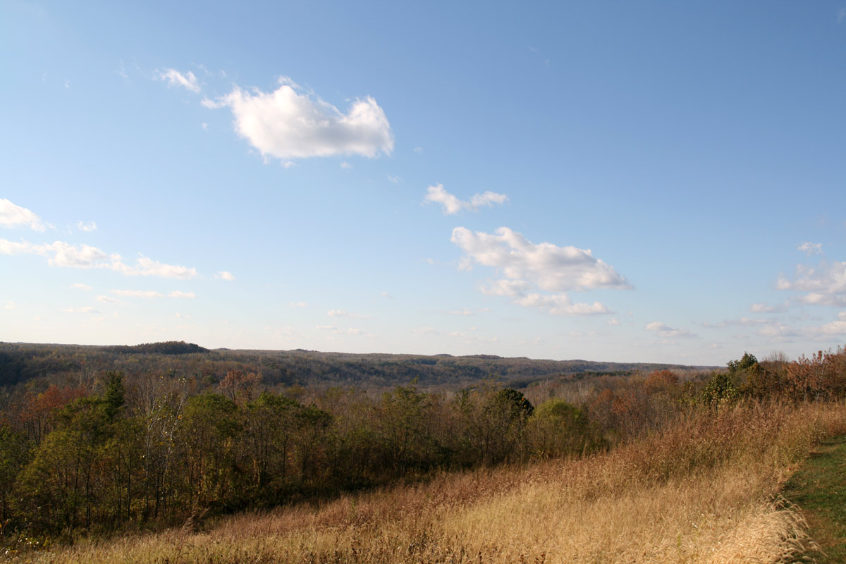
View from the bucket

Side view

Shovel view
View from Big Muskie
View in McConnelsville
AEP Park A Campsite

McConnelsville,Oh
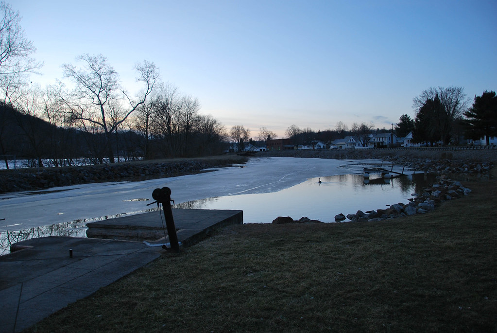
McConnelsville Lock & Dam #7
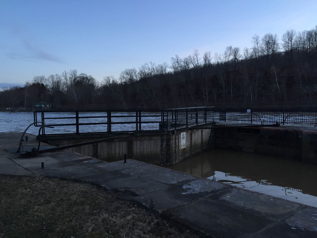
McConnelsville Lock & Dam #7

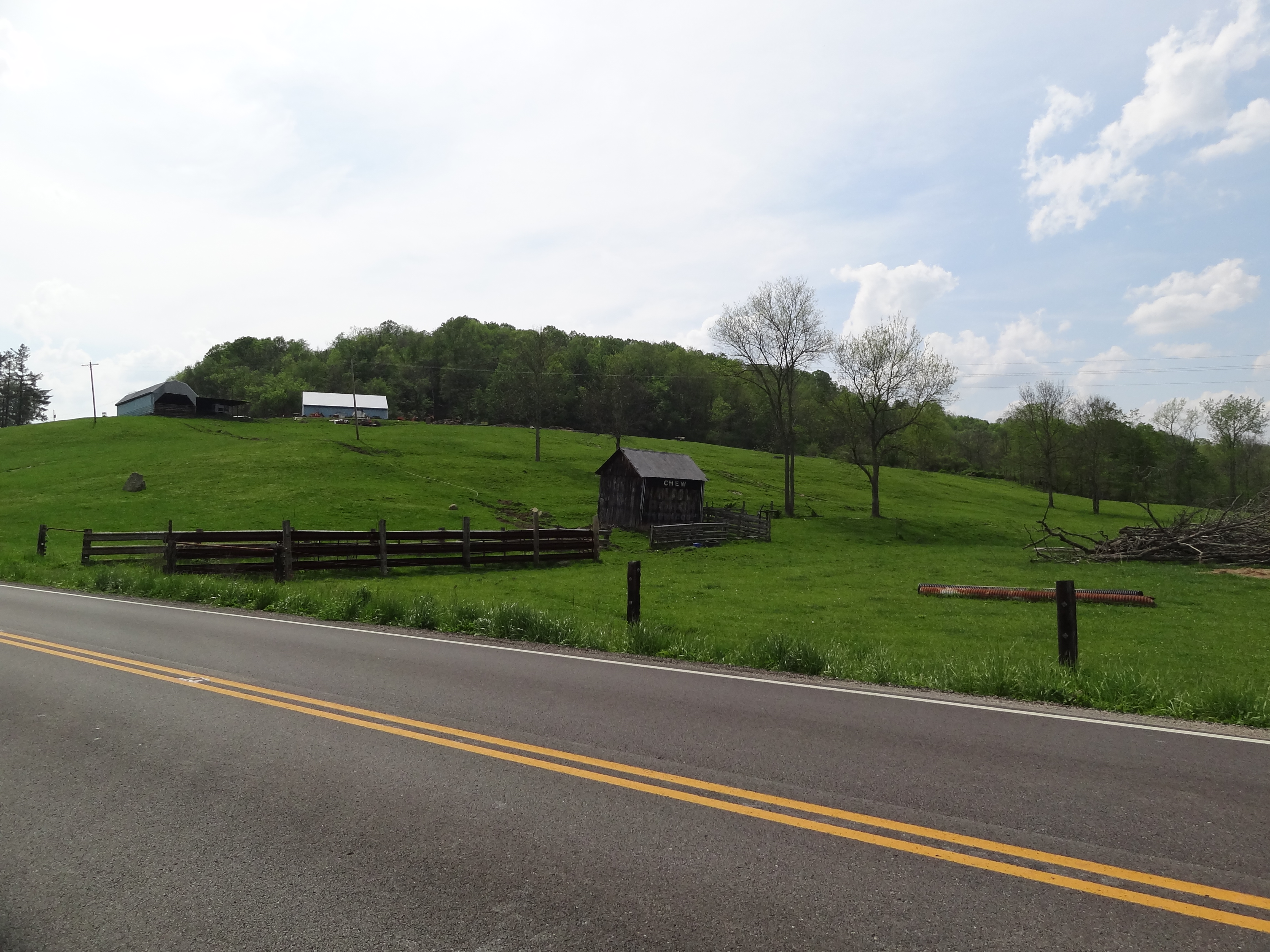
Helmlick Mill-Island Run Bridge 2006 0909 Morgan County 007

MPB 35-58-02, Morgan County, Ohio
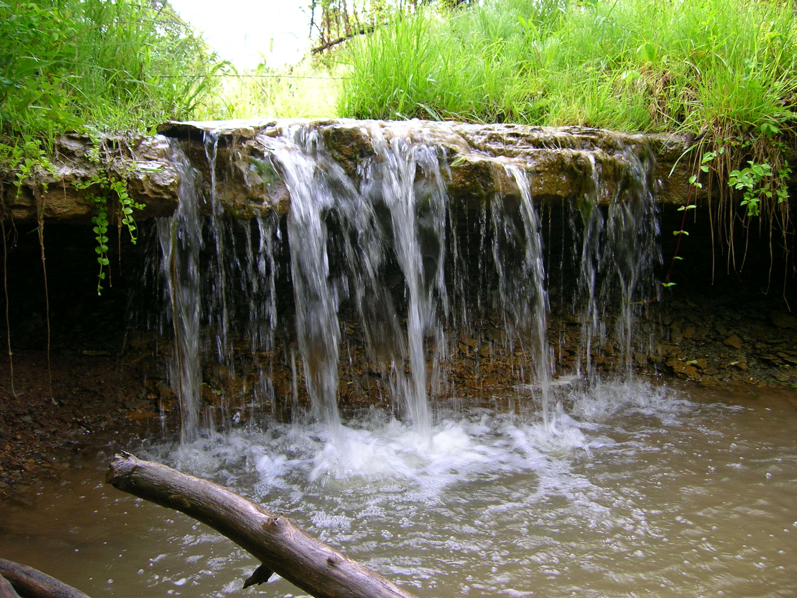
Right Waterfall off SR376 3
MPB 35-58-02, Morgan County, Ohio
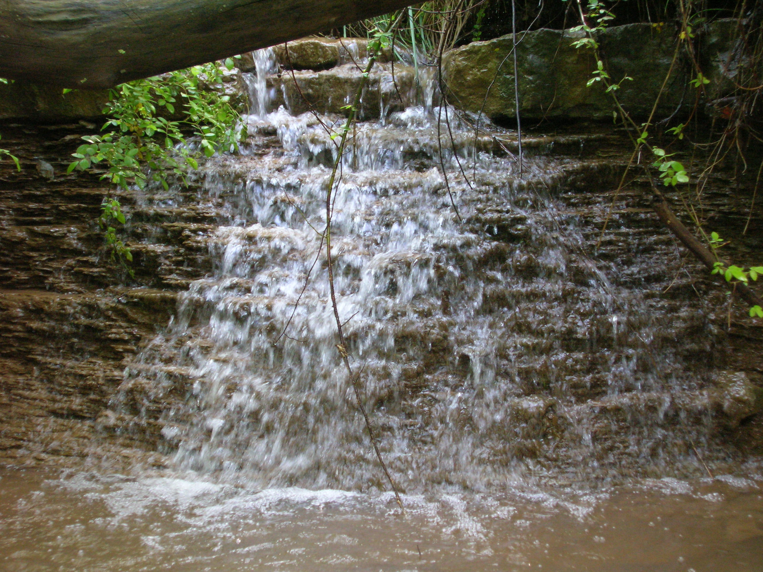
Left Waterfall off SR376 1
Brick Church Cemetery, Stockport, Morgan County, Ohio
Topographic Map of 5th St, Malta, OH, USA
Find elevation by address:

Places near 5th St, Malta, OH, USA:
Malta
Mcconnelsville
270 E Main St
Morgan Township
Malta Township
5540 Dugan Rd
Morgan County
6785 Oh-60
714 Co Rd 40
McConnelsville, OH, USA
Pennsville
233 Shrivers Rd
Penn Township
OH-60, McConnelsville, OH, USA
Meigsville Township
1650 Point Lookout Rd
Sparling Rd, Waterford, OH, USA
OH-78, McConnelsville, OH, USA
1780 Center Bend Rd
OH-83, Beverly, OH, USA
Recent Searches:
- Elevation of 6 Rue Jules Ferry, Beausoleil, France
- Elevation of Sattva Horizon, 4JC6+G9P, Vinayak Nagar, Kattigenahalli, Bengaluru, Karnataka, India
- Elevation of Great Brook Sports, Gold Star Hwy, Groton, CT, USA
- Elevation of 10 Mountain Laurels Dr, Nashua, NH, USA
- Elevation of 16 Gilboa Ln, Nashua, NH, USA
- Elevation of Laurel Rd, Townsend, TN, USA
- Elevation of 3 Nestling Wood Dr, Long Valley, NJ, USA
- Elevation of Ilungu, Tanzania
- Elevation of Yellow Springs Road, Yellow Springs Rd, Chester Springs, PA, USA
- Elevation of Rēzekne Municipality, Latvia