Elevation of OH-37, Mt Blanchard, OH, USA
Location: United States > Ohio > Hancock County > Delaware Township > Mount Blanchard >
Longitude: -83.518400
Latitude: 40.8666805
Elevation: 267m / 876feet
Barometric Pressure: 98KPa
Elevation Map:
Satellite Map:
Related Photos:
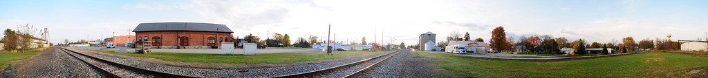
Forest, Ohio 45843 in 360 degrees

The streets are happening

Onion Farm

Ohio Bicentenial HDR
C&O Classic
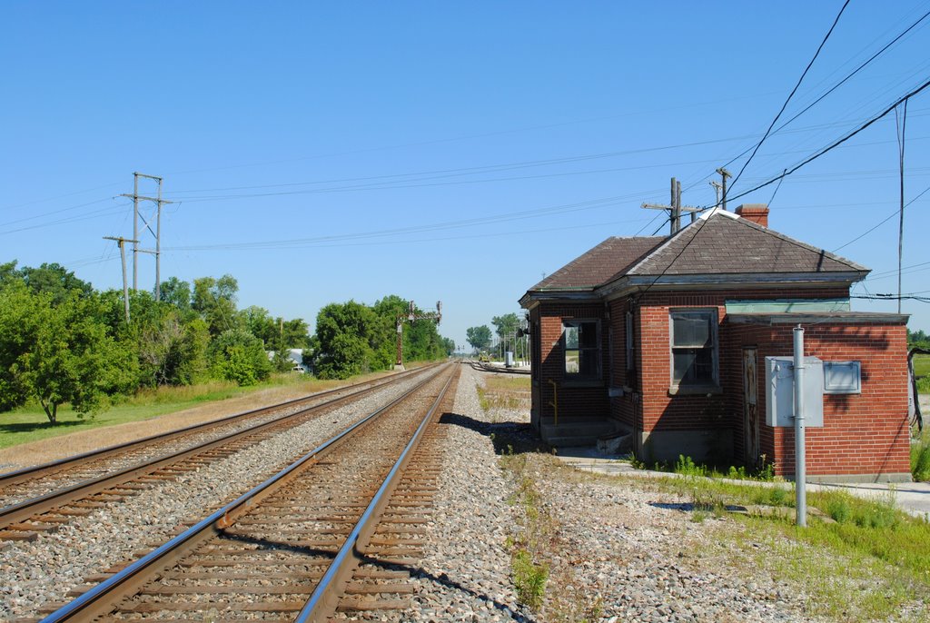
CSX_Carey-OH_Ccabin_eastside_070310-1
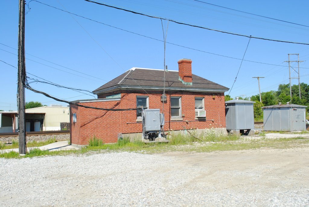
CSX_Carey-OH_Ccabin_northside_070310-1
CSX_Carey-OH_Ccabin_WBsignals_070310-1

Ohio Farmlands

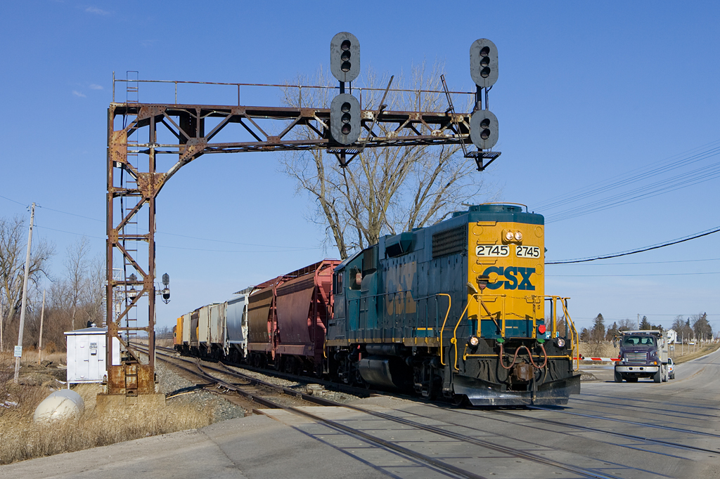
CSX Q219 - Hancock, OH

Lonely tree

Wild Turkey [19/52]

September Sunset in Rural Northwest, Ohio

Conveyors, National Lime And Stone, Carey OH

Camp Berry - Session 1-6

Camp Berry - Session 2-8

Clearwater2012 004

Clearwater2012 003

somewhere in Ohio
Topographic Map of OH-37, Mt Blanchard, OH, USA
Find elevation by address:

Places near OH-37, Mt Blanchard, OH, USA:
17020 Oh-37
Mount Blanchard
Delaware Township
Wharton
Forest
Amanda Township
308 W North St
E Main St, Vanlue, OH, USA
Vanlue
Arlington
E Liberty St, Arlington, OH, USA
Madison Township
120 Worrello St
Carey
County Road 31
Riverbend Park
Crawford Township
Marion Township
Wyandot County
23105 Co Rd 9
Recent Searches:
- Elevation of Groblershoop, South Africa
- Elevation of Power Generation Enterprises | Industrial Diesel Generators, Oak Ave, Canyon Country, CA, USA
- Elevation of Chesaw Rd, Oroville, WA, USA
- Elevation of N, Mt Pleasant, UT, USA
- Elevation of 6 Rue Jules Ferry, Beausoleil, France
- Elevation of Sattva Horizon, 4JC6+G9P, Vinayak Nagar, Kattigenahalli, Bengaluru, Karnataka, India
- Elevation of Great Brook Sports, Gold Star Hwy, Groton, CT, USA
- Elevation of 10 Mountain Laurels Dr, Nashua, NH, USA
- Elevation of 16 Gilboa Ln, Nashua, NH, USA
- Elevation of Laurel Rd, Townsend, TN, USA