Elevation of Wyandot County, OH, USA
Location: United States > Ohio >
Longitude: -83.336188
Latitude: 40.8471492
Elevation: 252m / 827feet
Barometric Pressure: 98KPa
Elevation Map:
Satellite Map:
Related Photos:
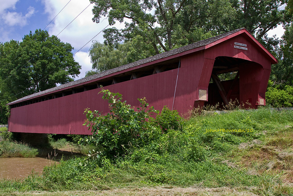
Parker Covered Bridge - Biggest and Best of Recent Trip
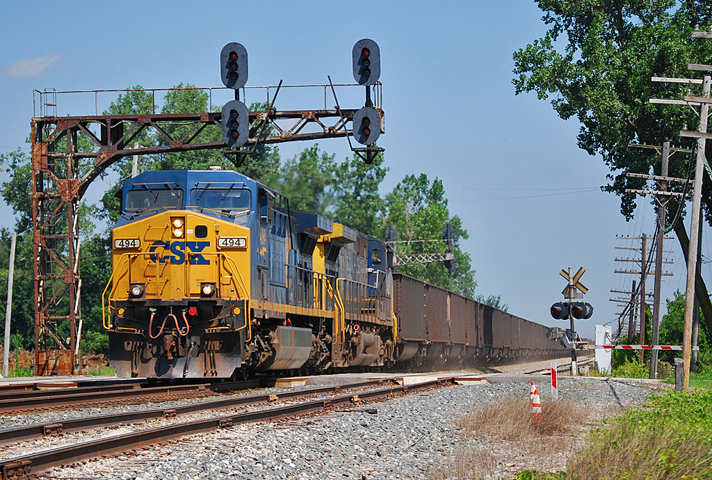
C&O Classic

Ohio Bicentenial HDR
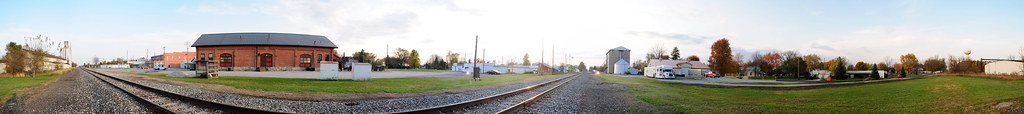
Forest, Ohio 45843 in 360 degrees
Onion Farm

"The corn is as high as an elephant's eye"
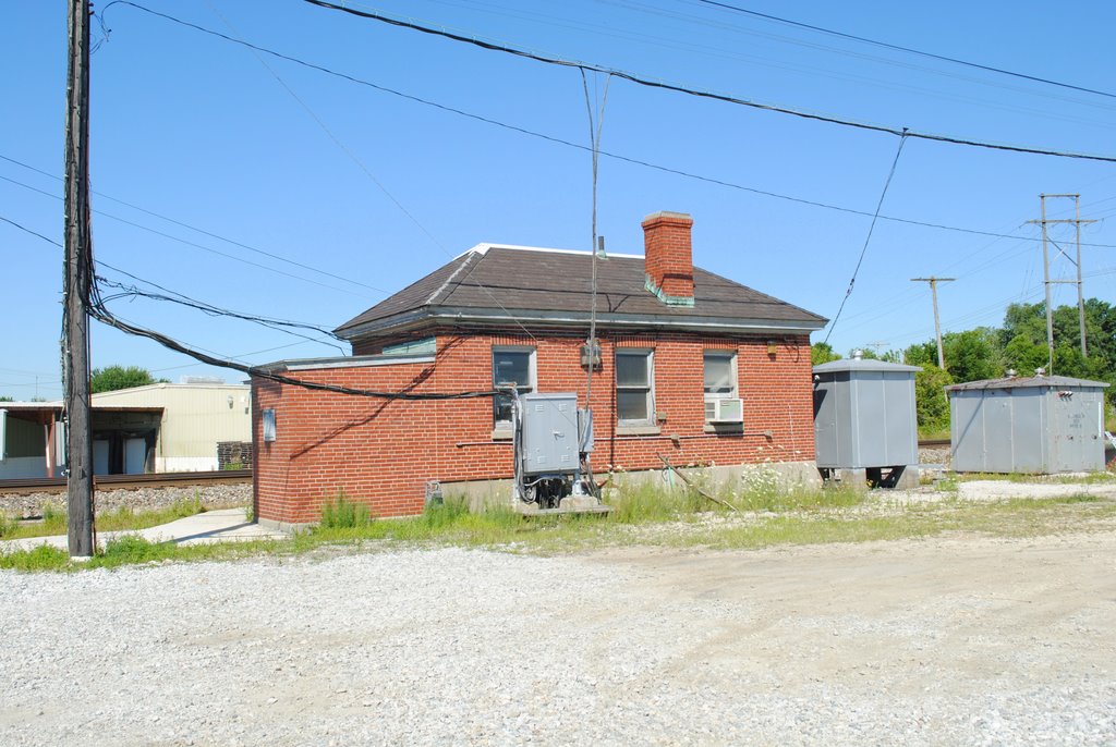
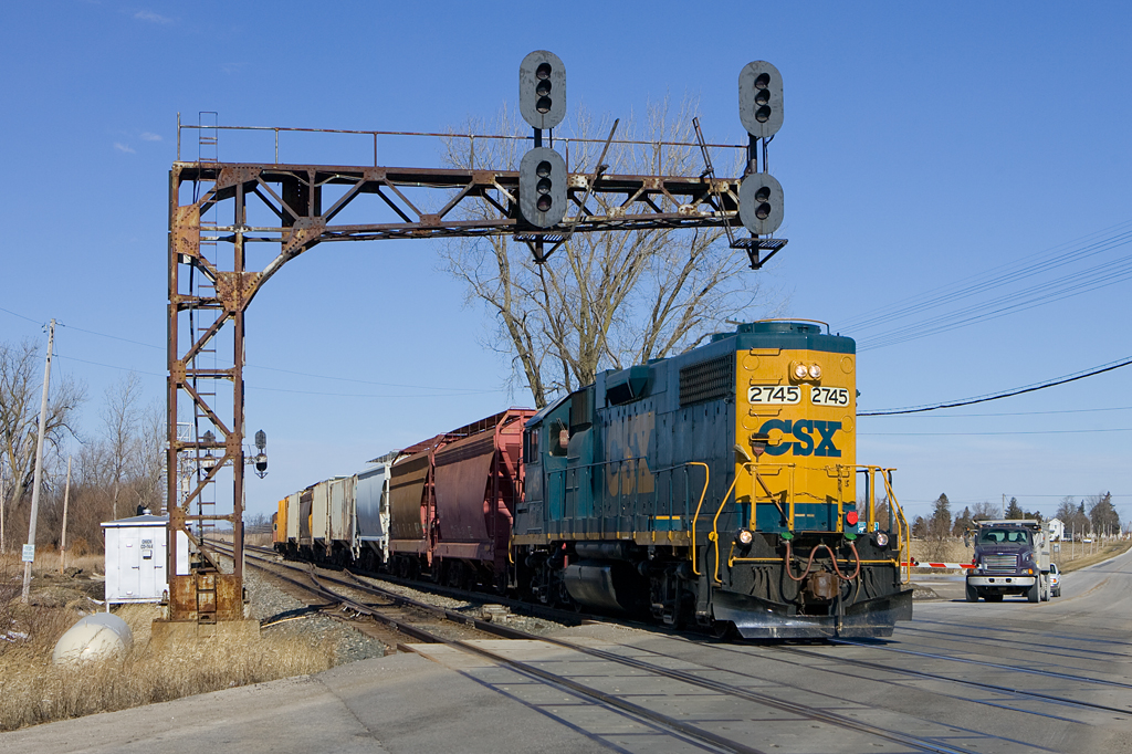
CSX_Carey-OH_Ccabin_eastside_070310-1
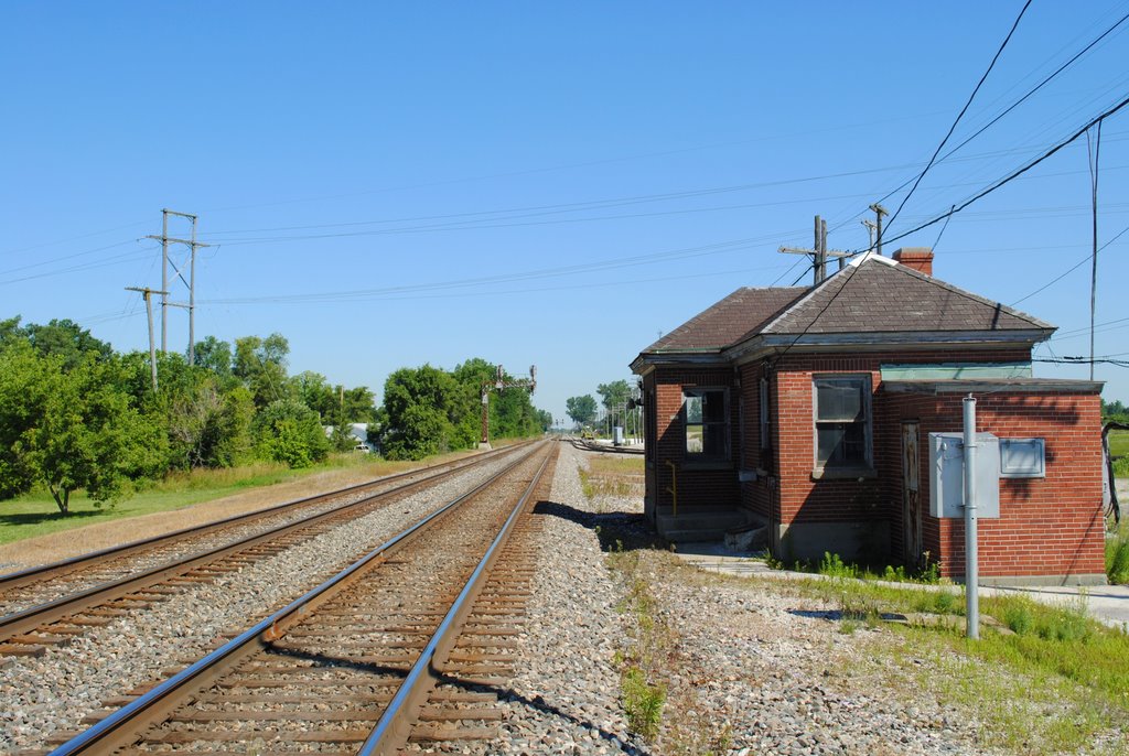
CSX_Carey-OH_Ccabin_northside_070310-1
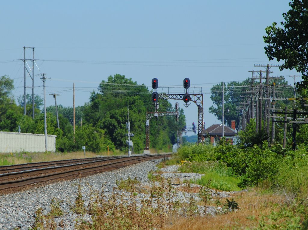
CSX_Carey-OH_Ccabin_WBsignals_070310-1

Between Sandusky River and Tymochtee Creek.
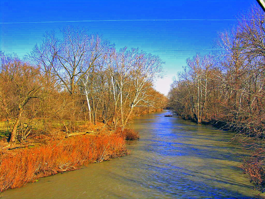
Sandusky River

(2009-07-05) The Tree - 0020And8more

(2009-07-05) The Tree - 0083And8moreEnhancer

Red Barn and Soy Beans
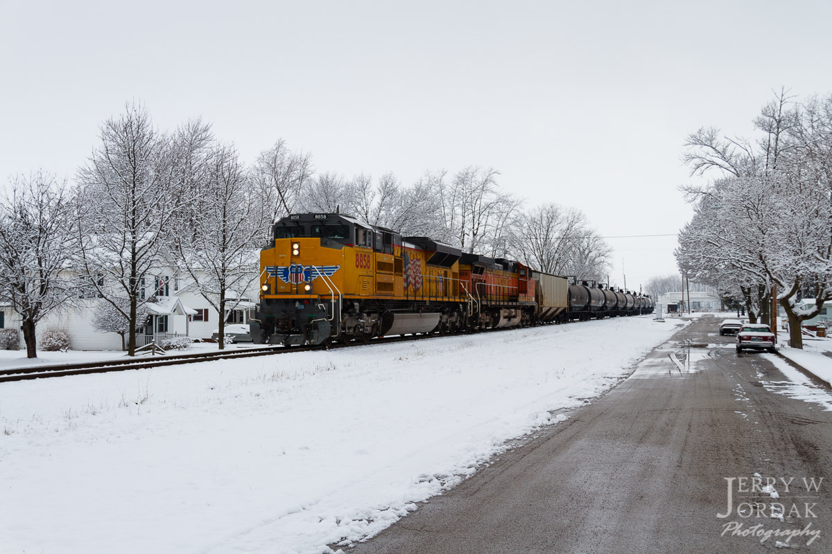
A Splash of Color in a Sea of White

Conveyors, National Lime And Stone, Carey OH
Topographic Map of Wyandot County, OH, USA
Find elevation by address:

Places in Wyandot County, OH, USA:
Crane Township
Marseilles Township
Tymochtee Township
Eden Township
Co Hwy 44, Nevada, OH, USA
Wyandot St, Harpster, OH, USA
Carey
Wharton
Crawford Township
Places near Wyandot County, OH, USA:
Heartland Wildlife
712 Baker Dr
609 Polaris Dr
420 W Walker St
420 W Finley St
390 W Walker St
208 W Elm Dr
Upper Sandusky
950 Winding Hollow Ln
950 Winding Hollow Ln
950 Winding Hollow Ln
155 Indian Mill Dr
691 Mission Dr
985 Winding Hollow Ln
433 E Bigelow St
473 Front St
Crane Township
Reservoir Rd, Upper Sandusky, OH, USA
133 Rivers Edge Ln
7296 Township Hwy 51
Recent Searches:
- Elevation of Corso Fratelli Cairoli, 35, Macerata MC, Italy
- Elevation of Tallevast Rd, Sarasota, FL, USA
- Elevation of 4th St E, Sonoma, CA, USA
- Elevation of Black Hollow Rd, Pennsdale, PA, USA
- Elevation of Oakland Ave, Williamsport, PA, USA
- Elevation of Pedrógão Grande, Portugal
- Elevation of Klee Dr, Martinsburg, WV, USA
- Elevation of Via Roma, Pieranica CR, Italy
- Elevation of Tavkvetili Mountain, Georgia
- Elevation of Hartfords Bluff Cir, Mt Pleasant, SC, USA