Elevation of Odom Rd, Clinton, NC, USA
Location: United States > North Carolina > Sampson County > Herring >
Longitude: -78.426379
Latitude: 35.1007194
Elevation: 57m / 187feet
Barometric Pressure: 101KPa
Elevation Map:
Satellite Map:
Related Photos:


outer banks
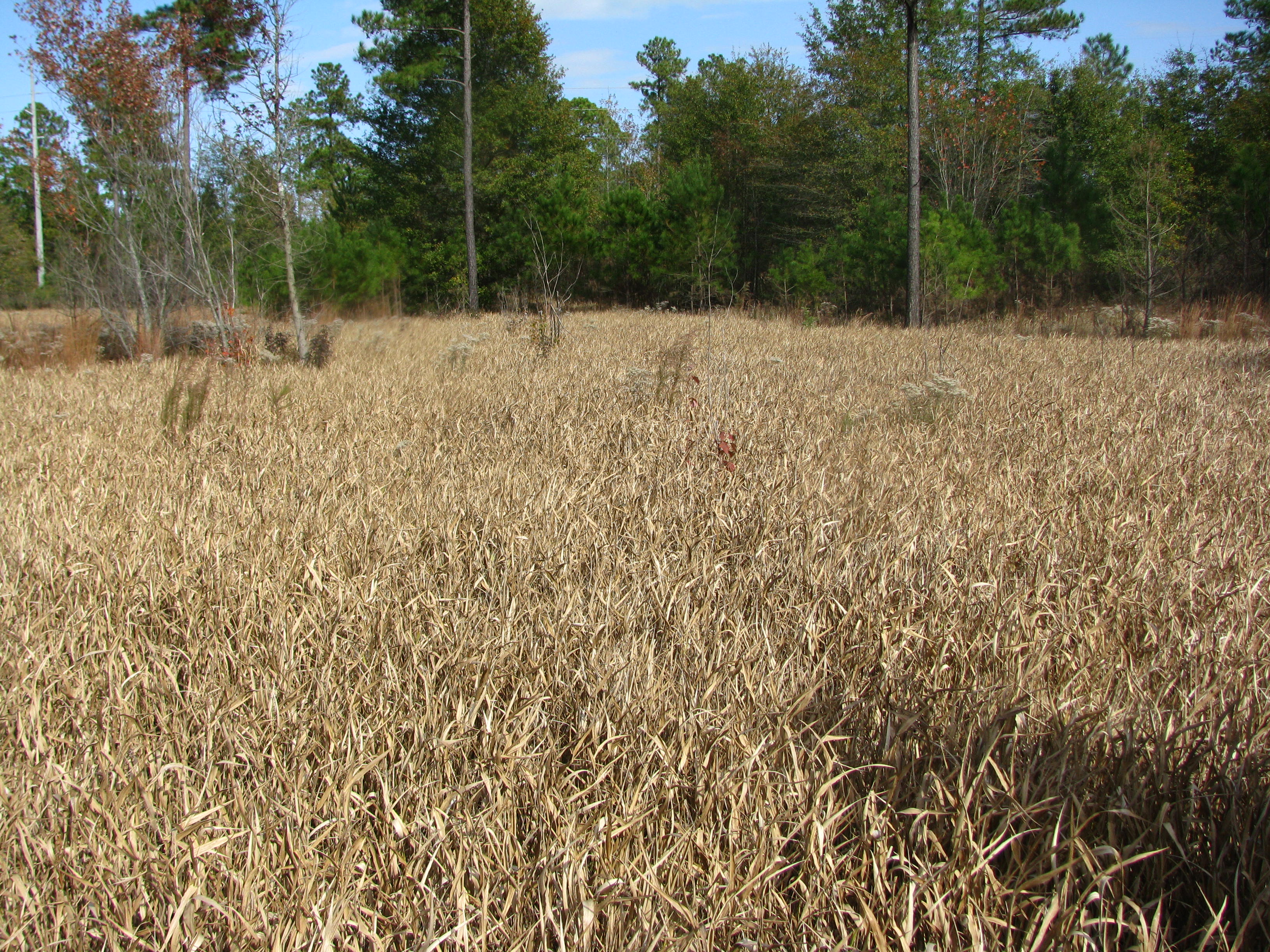
Panicum hemitomon

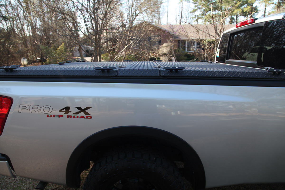
Piggly Wiggly of Clinton, NC
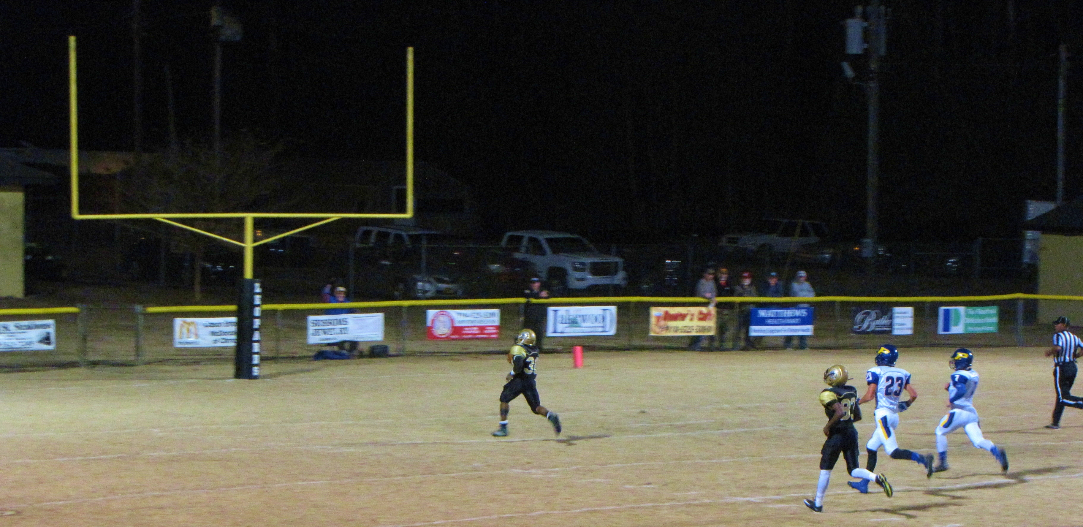
Lakewood Touchdown

Fred's Photos

Fred's Photos

Fred's Photos

Fred's Photos

Fred's Photos

Untitled photo

Untitled photo

Untitled photo

Untitled photo

Untitled photo

Fred's Photos

Fred's Photos

Fred's Photos
Fred's Photos

Fred's Photos

Fred's Photos

Fred's Photos

Fred's Photos

Fred's Photos
Topographic Map of Odom Rd, Clinton, NC, USA
Find elevation by address:

Places near Odom Rd, Clinton, NC, USA:
Herring
Kitty Fork Rd, Clinton, NC, USA
Basstown Rd, Clinton, NC, USA
Belvoir
Huntley School Rd, Roseboro, NC, USA
Halls
Roseboro Hwy, Clinton, NC, USA
Coharie Dr, Clinton, NC, USA
7233 Minnie Hall Rd
Royal Ln, Clinton, NC, USA
North Clinton
1793 Marion-amos Rd
Clinton
299 E Railroad St
Dismal
Minnie Hall Rd, Autryville, NC, USA
Sampson County
45 Nixon Rd
Lake Artesia Rd, Faison, NC, USA
Maxwell Rd, Autryville, NC, USA
Recent Searches:
- Elevation of Congressional Dr, Stevensville, MD, USA
- Elevation of Bellview Rd, McLean, VA, USA
- Elevation of Stage Island Rd, Chatham, MA, USA
- Elevation of Shibuya Scramble Crossing, 21 Udagawacho, Shibuya City, Tokyo -, Japan
- Elevation of Jadagoniai, Kaunas District Municipality, Lithuania
- Elevation of Pagonija rock, Kranto 7-oji g. 8"N, Kaunas, Lithuania
- Elevation of Co Rd 87, Jamestown, CO, USA
- Elevation of Tenjo, Cundinamarca, Colombia
- Elevation of Côte-des-Neiges, Montreal, QC H4A 3J6, Canada
- Elevation of Bobcat Dr, Helena, MT, USA