Elevation of Maxwell Rd, Autryville, NC, USA
Location: United States > North Carolina > Sampson County >
Longitude: -78.62896
Latitude: 35.096123
Elevation: 46m / 151feet
Barometric Pressure: 101KPa
Elevation Map:
Satellite Map:
Related Photos:

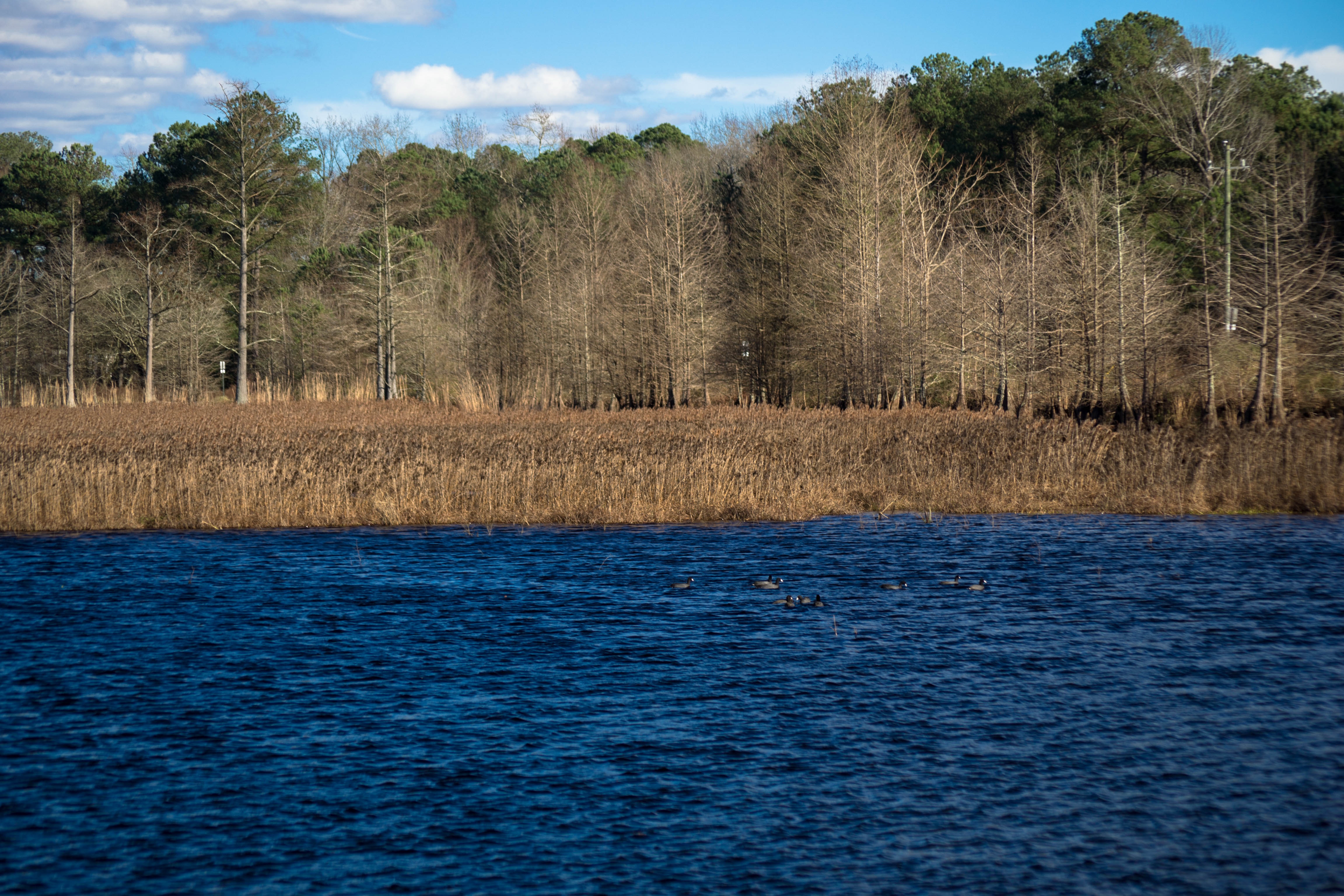
DSC01460

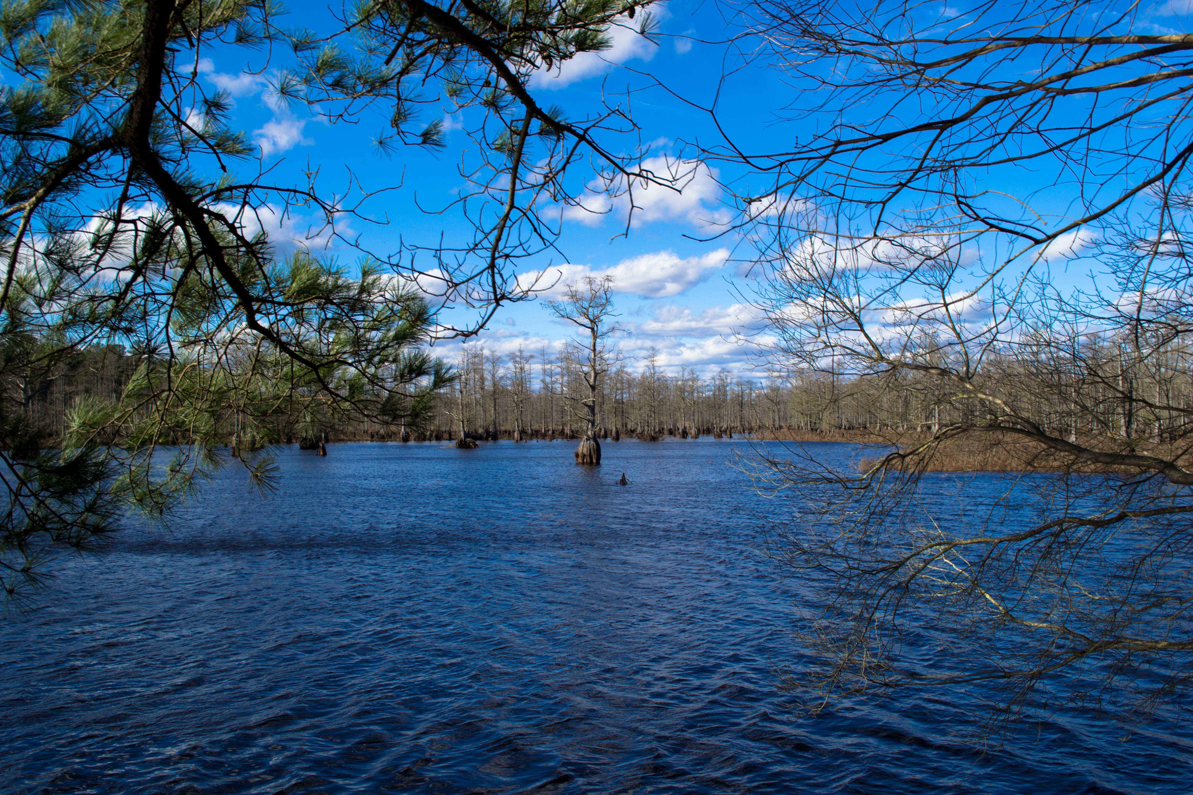
DSC01458
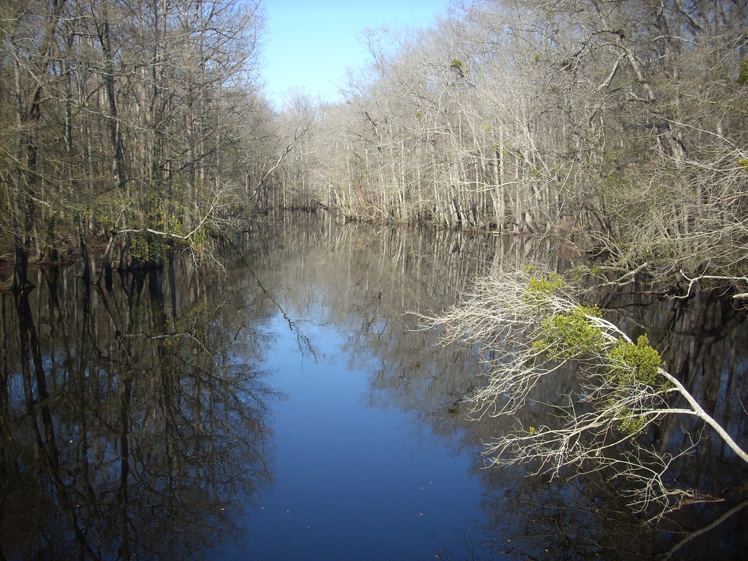
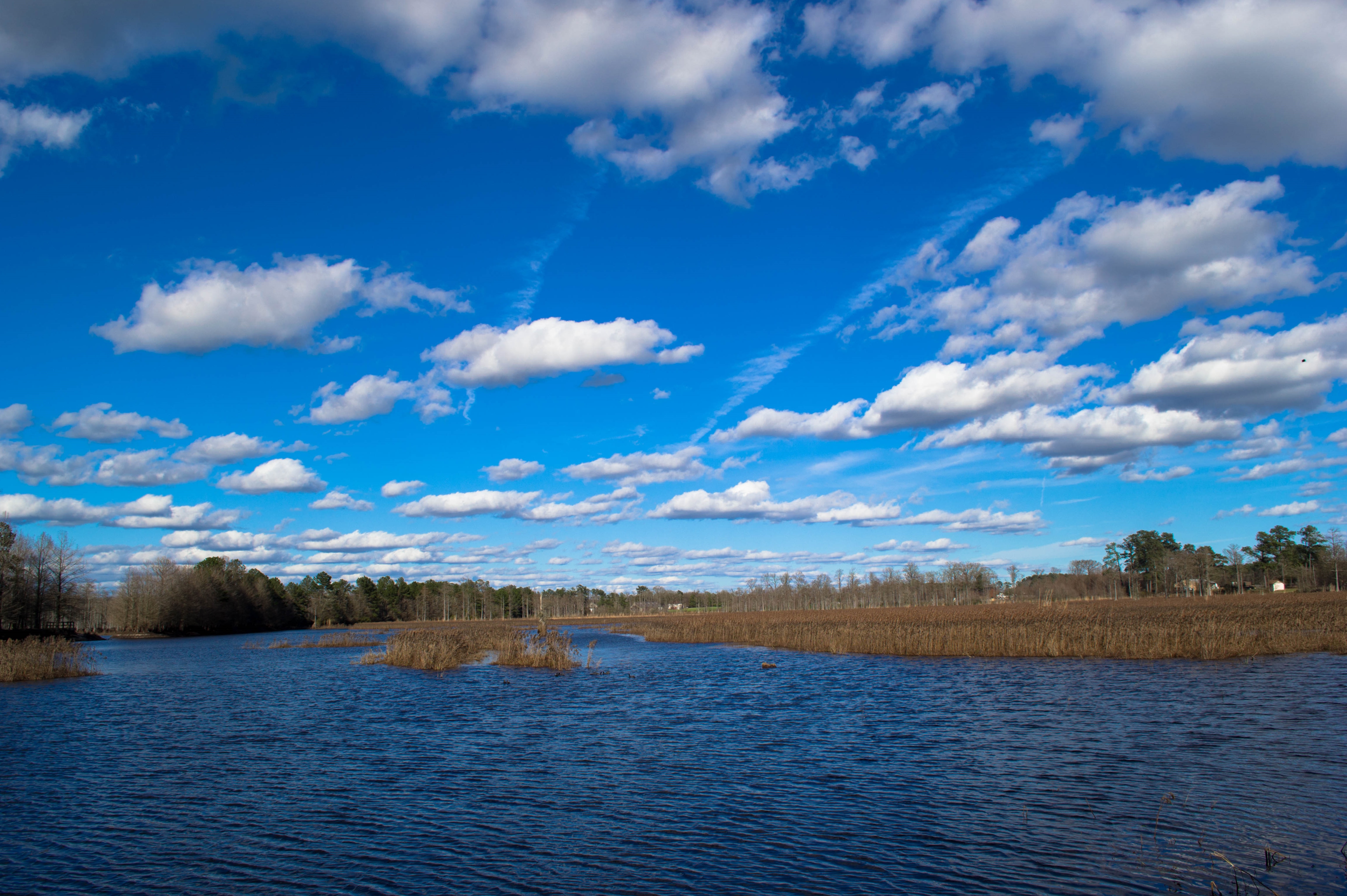
South River
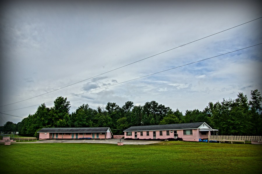
G's Epic Sketch Motel

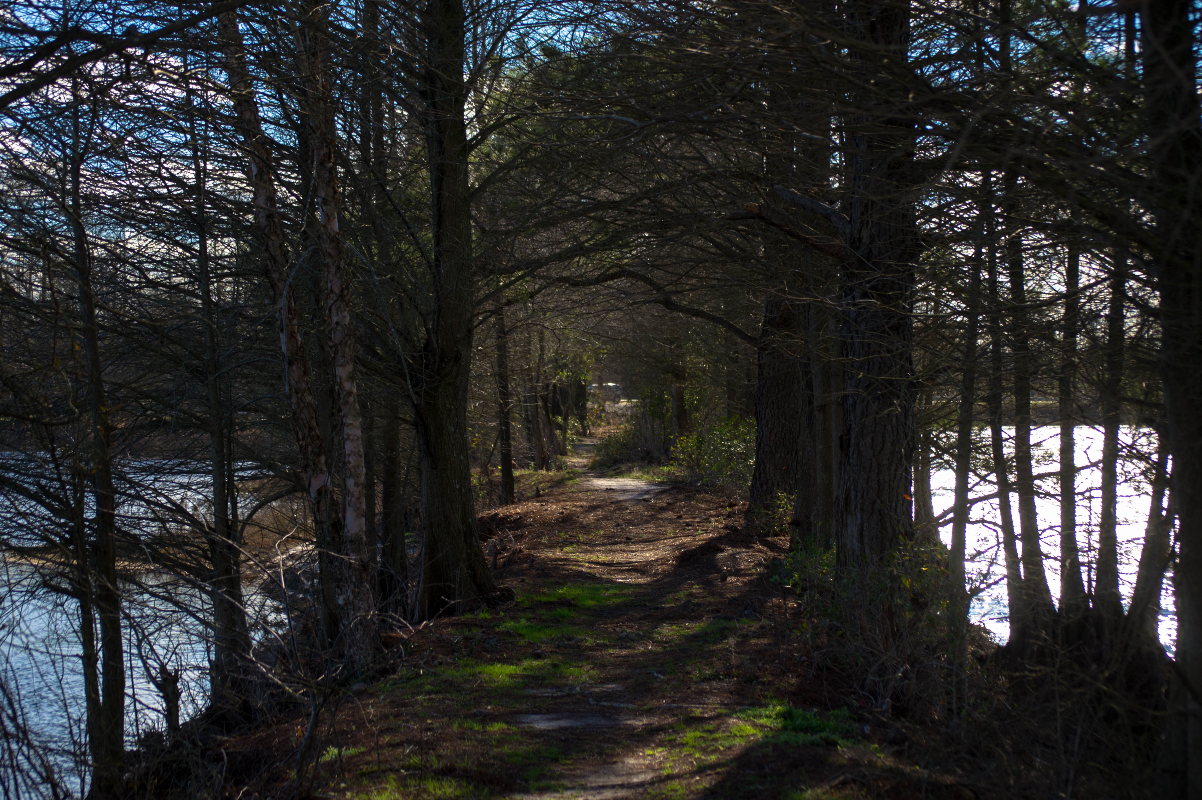
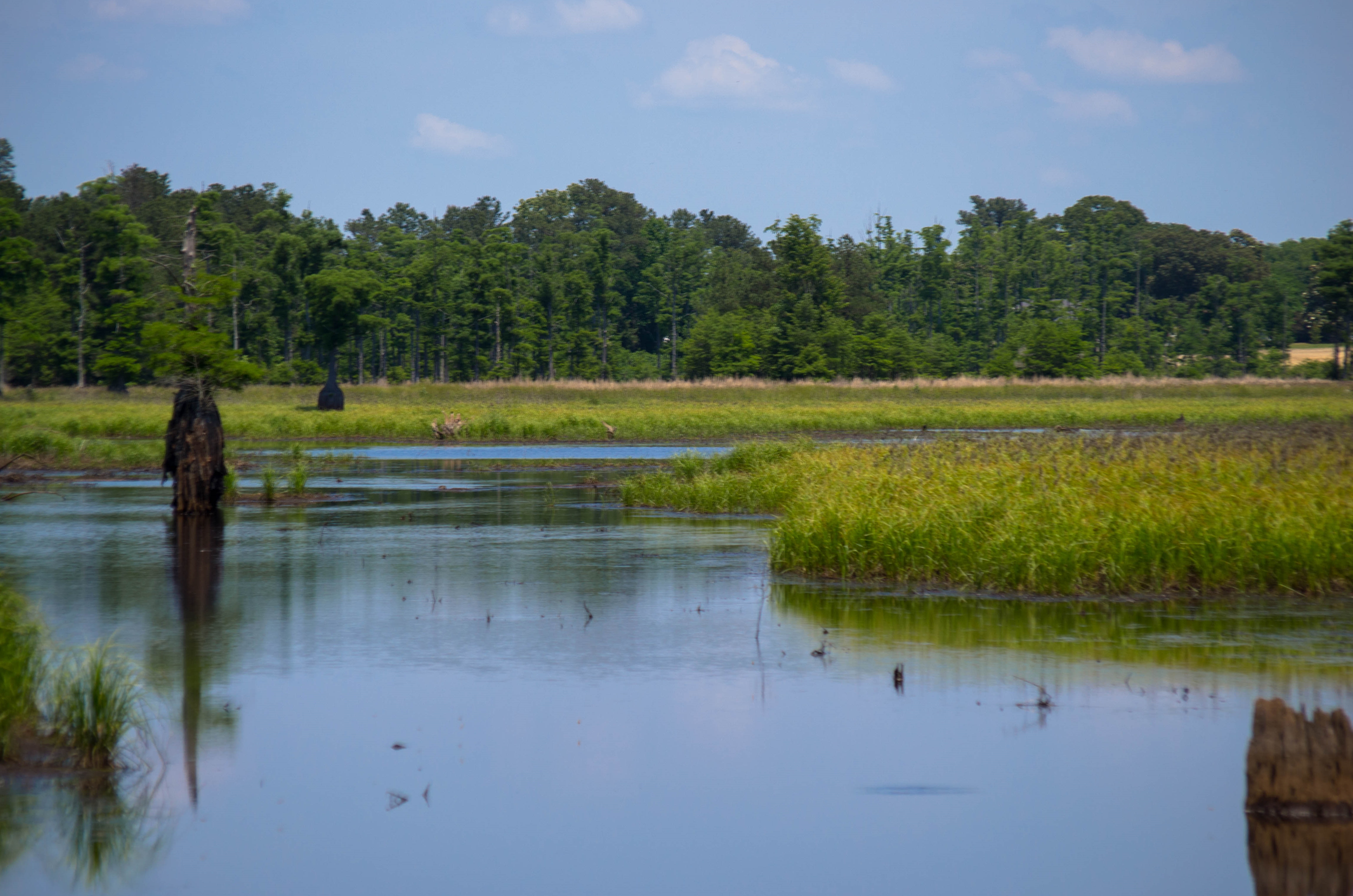
Cypress Trees

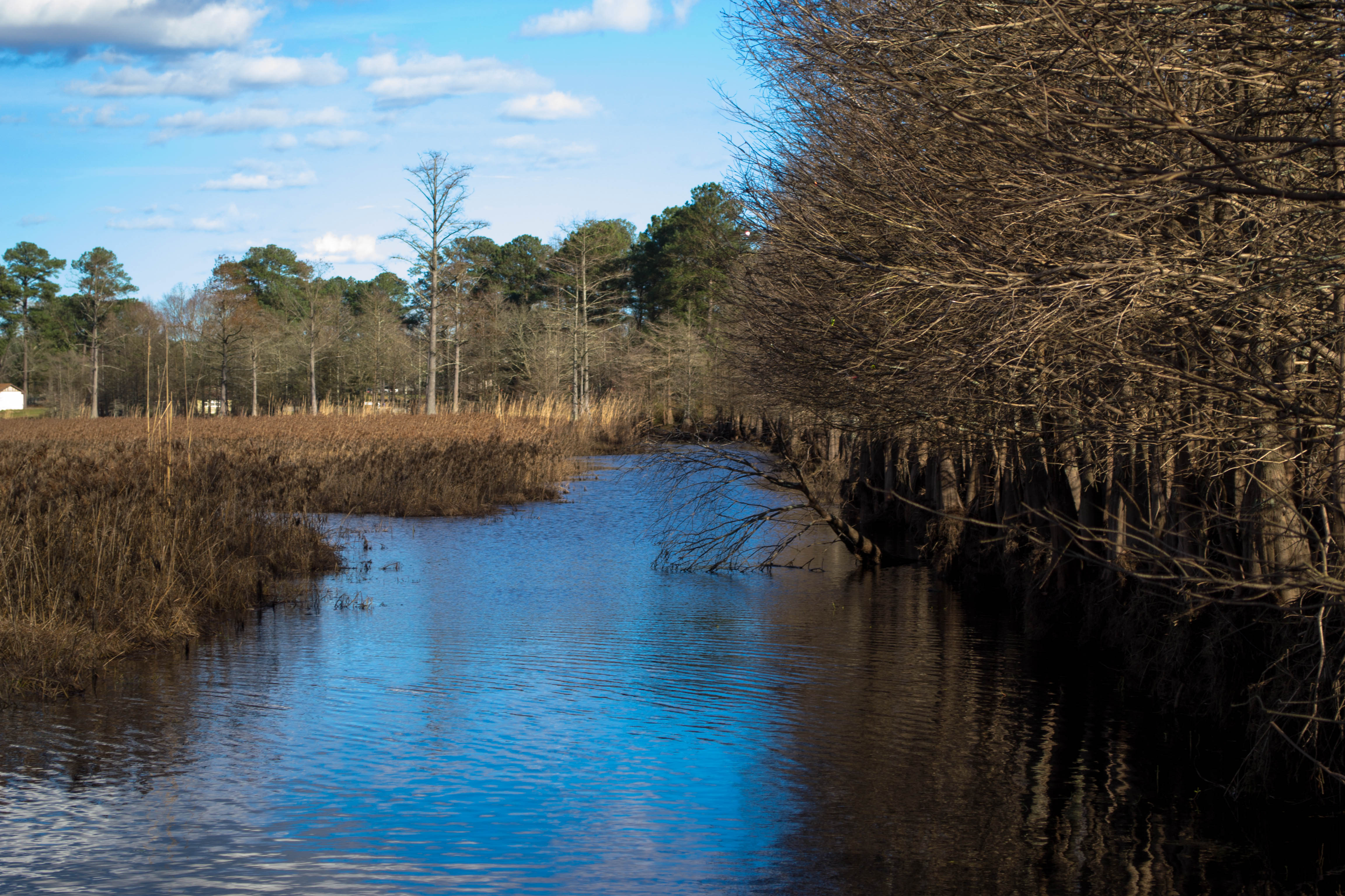
outer banks
20160110-DSC_0065
20160110-DSC_0125
20160110-DSC_0060
20160110-DSC_0081
20160110-DSC_0111

20160110-DSC_0097
20150517-DSC_6672

20150517-DSC_6671
Topographic Map of Maxwell Rd, Autryville, NC, USA
Find elevation by address:

Places near Maxwell Rd, Autryville, NC, USA:
Dismal
Minnie Hall Rd, Autryville, NC, USA
5651 Bridle Ridge Ln
Maxwell Rd, Stedman, NC, USA
45 Nixon Rd
1750 Nixon Rd
5640 Smithfield Rd
7233 Minnie Hall Rd
101 E Williams St
W Williams St, Autryville, NC, USA
Stedman
824 Blawell St
7661 Beaver Dam Rd
Huntley School Rd, Roseboro, NC, USA
Cape Fear
Cedar Creek
2945 Stedman Cedar Creek Rd
Fayetteville, NC, USA
3091 Bogie Island Rd
Cumberland County
Recent Searches:
- Elevation of Corso Fratelli Cairoli, 35, Macerata MC, Italy
- Elevation of Tallevast Rd, Sarasota, FL, USA
- Elevation of 4th St E, Sonoma, CA, USA
- Elevation of Black Hollow Rd, Pennsdale, PA, USA
- Elevation of Oakland Ave, Williamsport, PA, USA
- Elevation of Pedrógão Grande, Portugal
- Elevation of Klee Dr, Martinsburg, WV, USA
- Elevation of Via Roma, Pieranica CR, Italy
- Elevation of Tavkvetili Mountain, Georgia
- Elevation of Hartfords Bluff Cir, Mt Pleasant, SC, USA