Elevation of Oat Hills Road, Oat Hills Rd, California, USA
Location: United States > California > Yuba County > Browns Valley >
Longitude: -121.34563
Latitude: 39.2820596
Elevation: 160m / 525feet
Barometric Pressure: 99KPa
Elevation Map:
Satellite Map:
Related Photos:

Nature's Peace

Run River Run

Wells Fargo & Co. Express Building - 1853
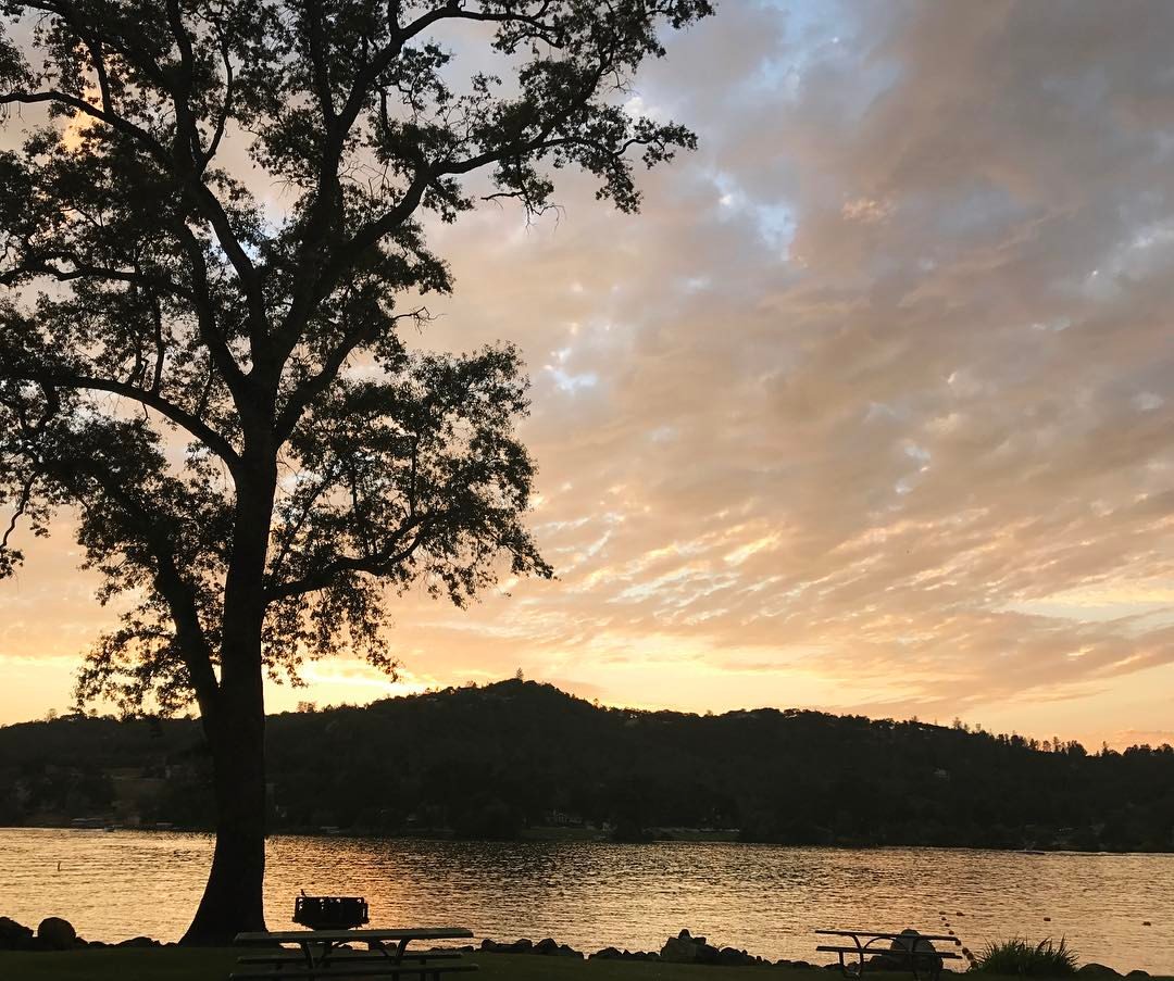
Sunset view from Vista Park #norcallife #friendsoffoxtail
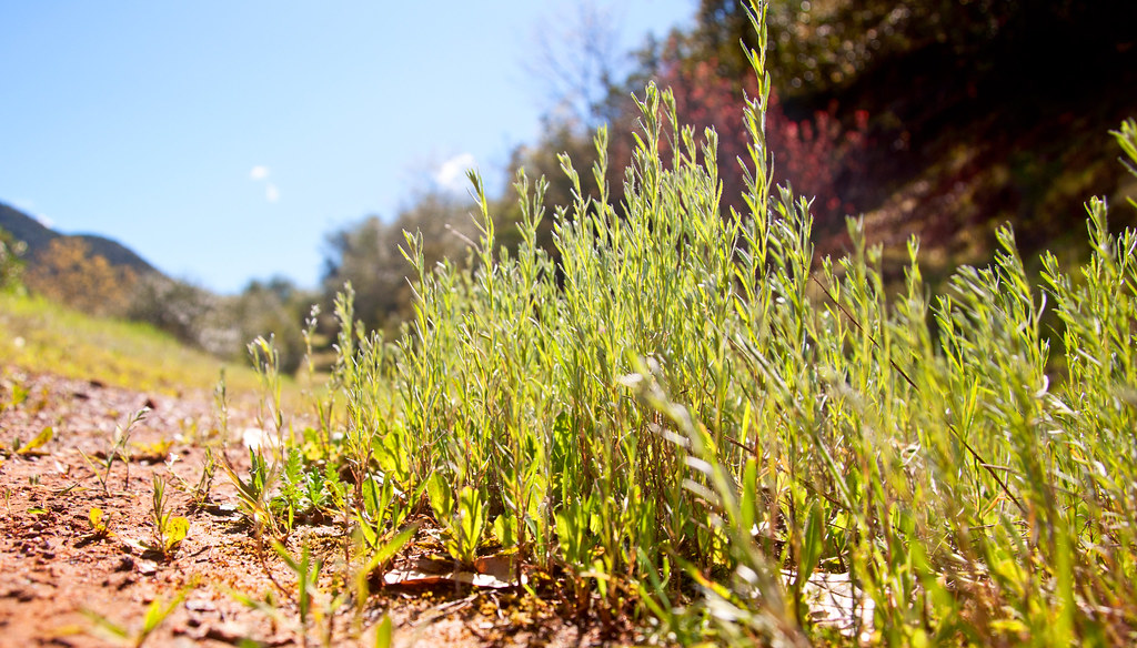
Set from Honey I Shrunk the Kids! - a real bugs eye view of the world
frosty fields

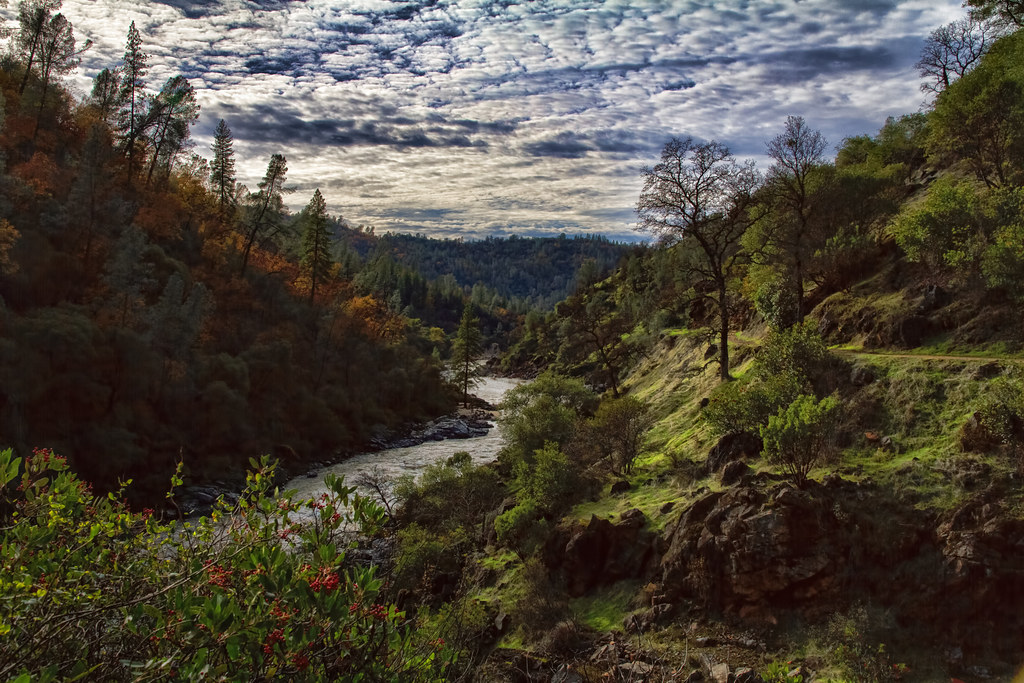
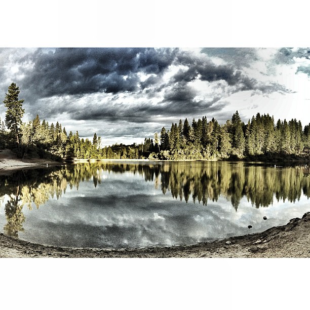
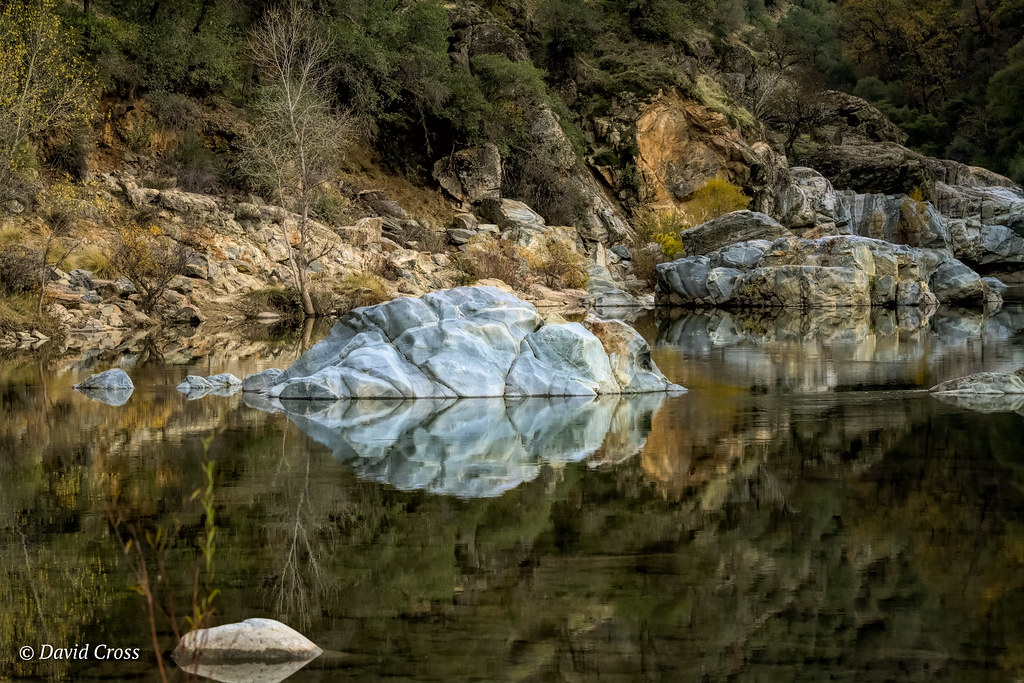
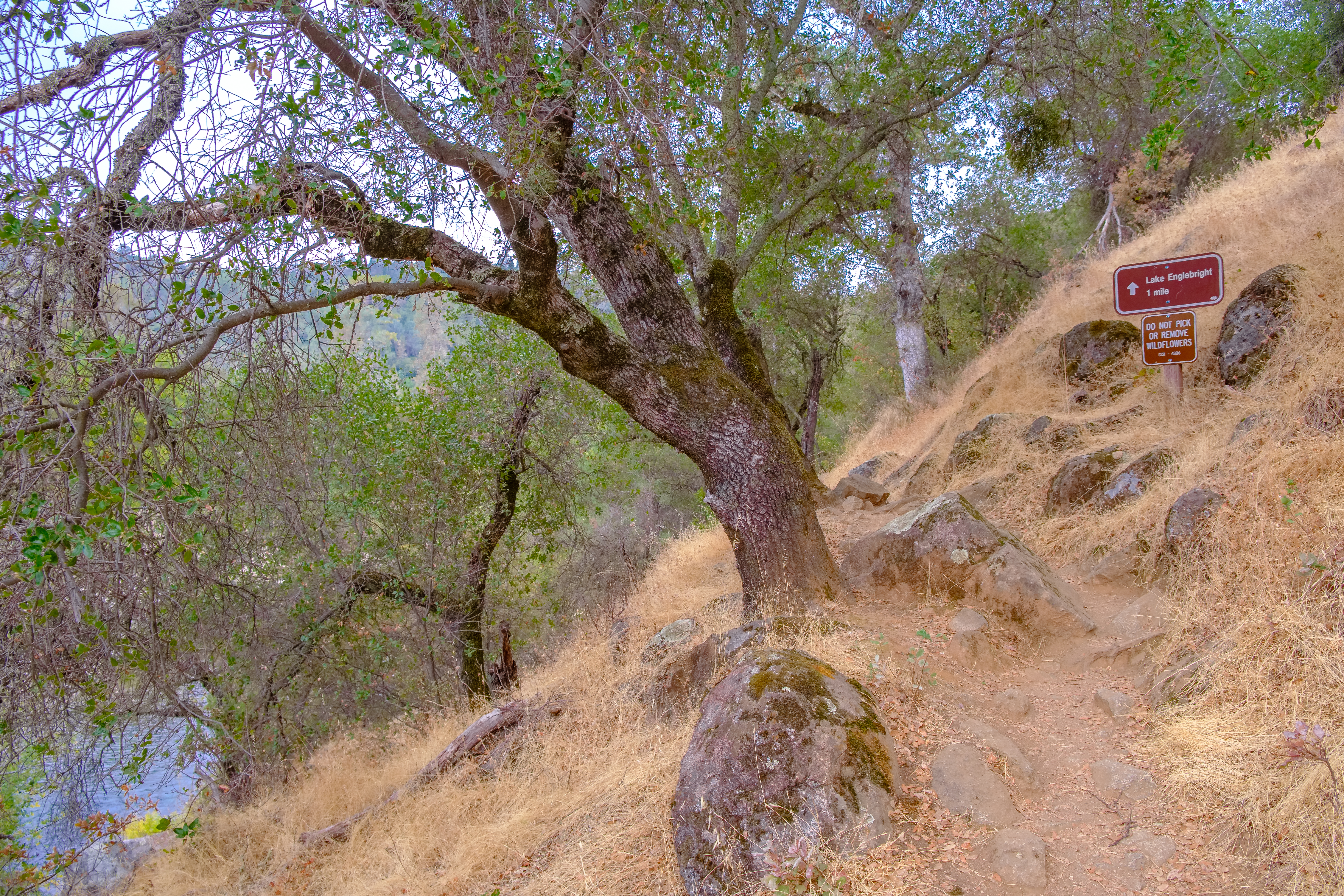
South Yuba River Canyon
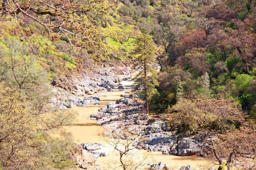
South Yuba River
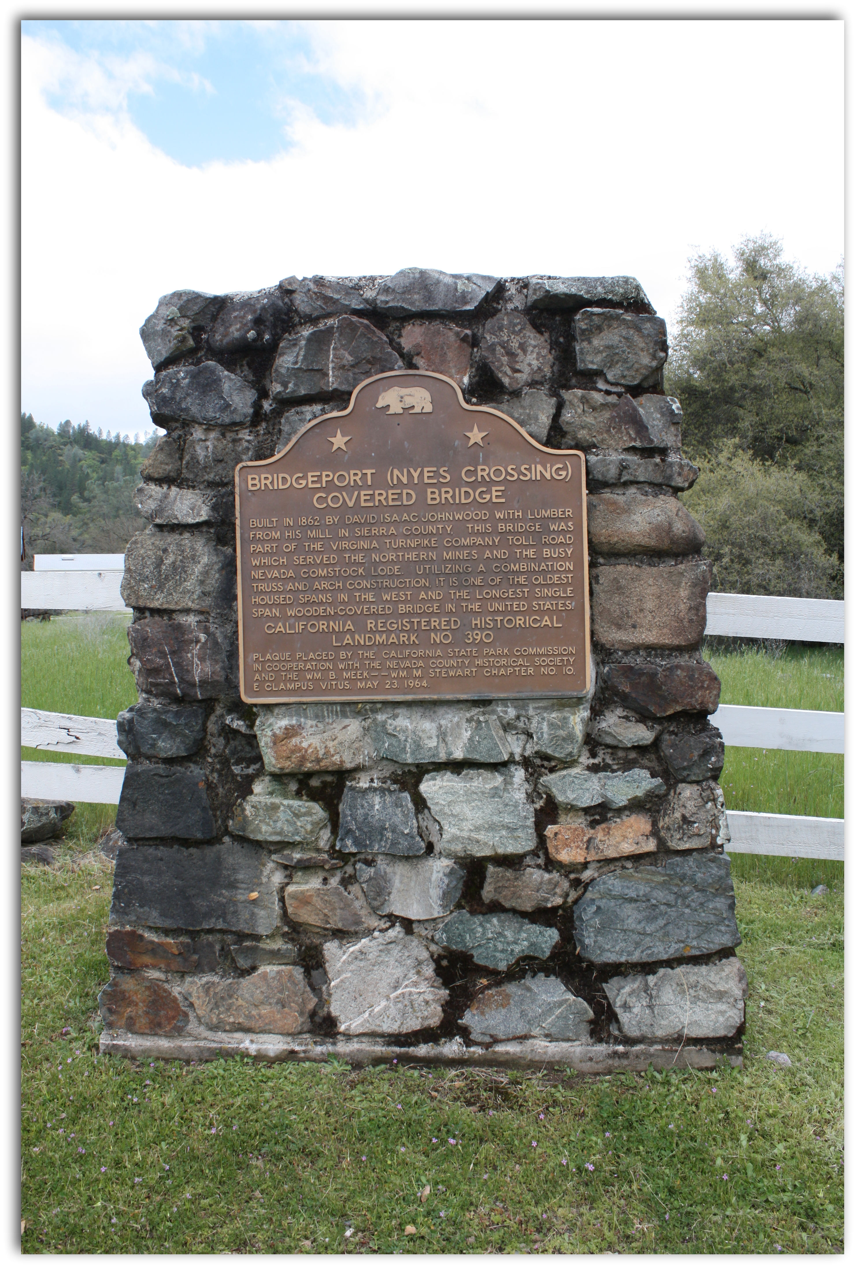
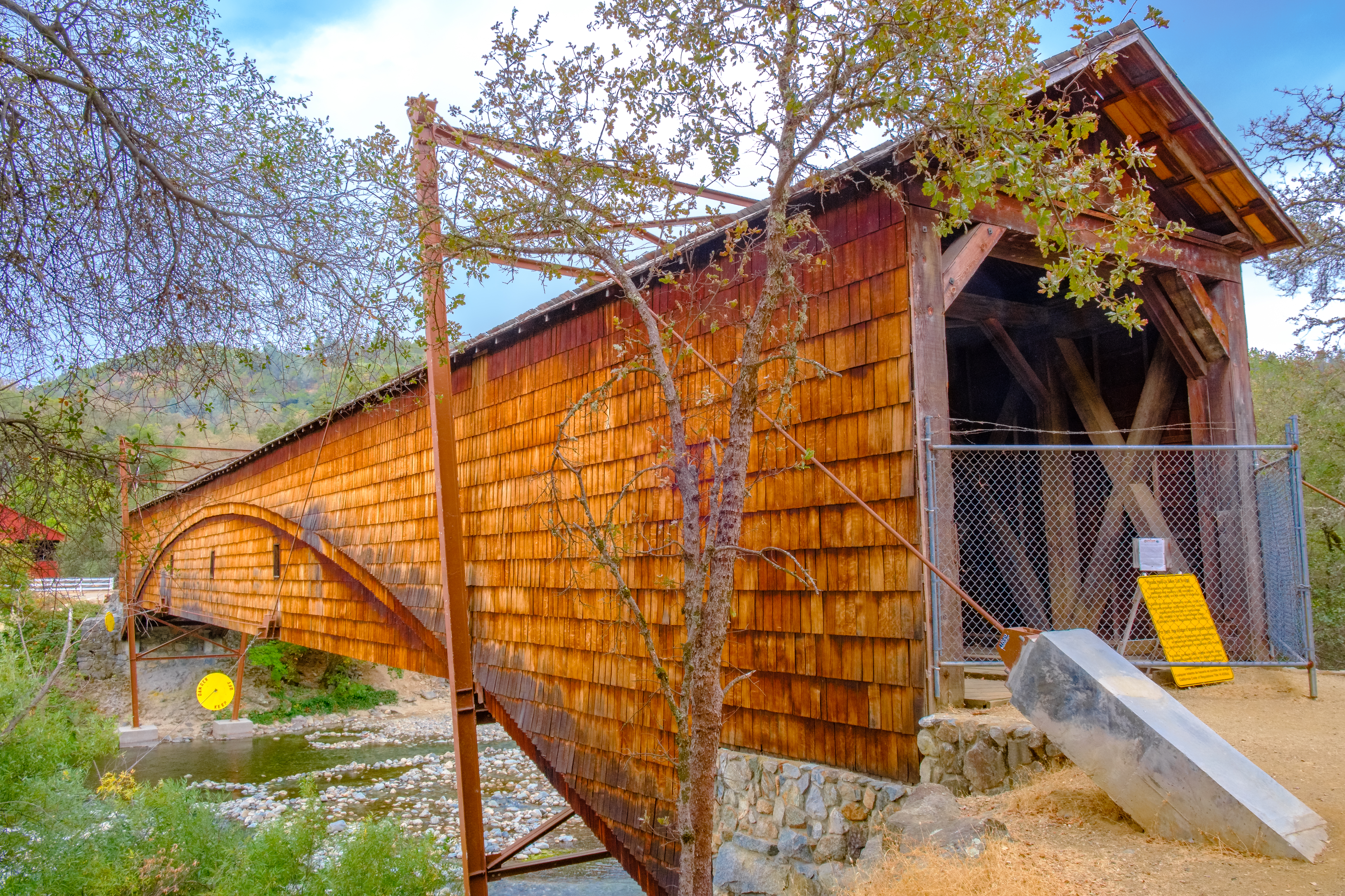
Bridgeport Covered Bridge Historical Marker
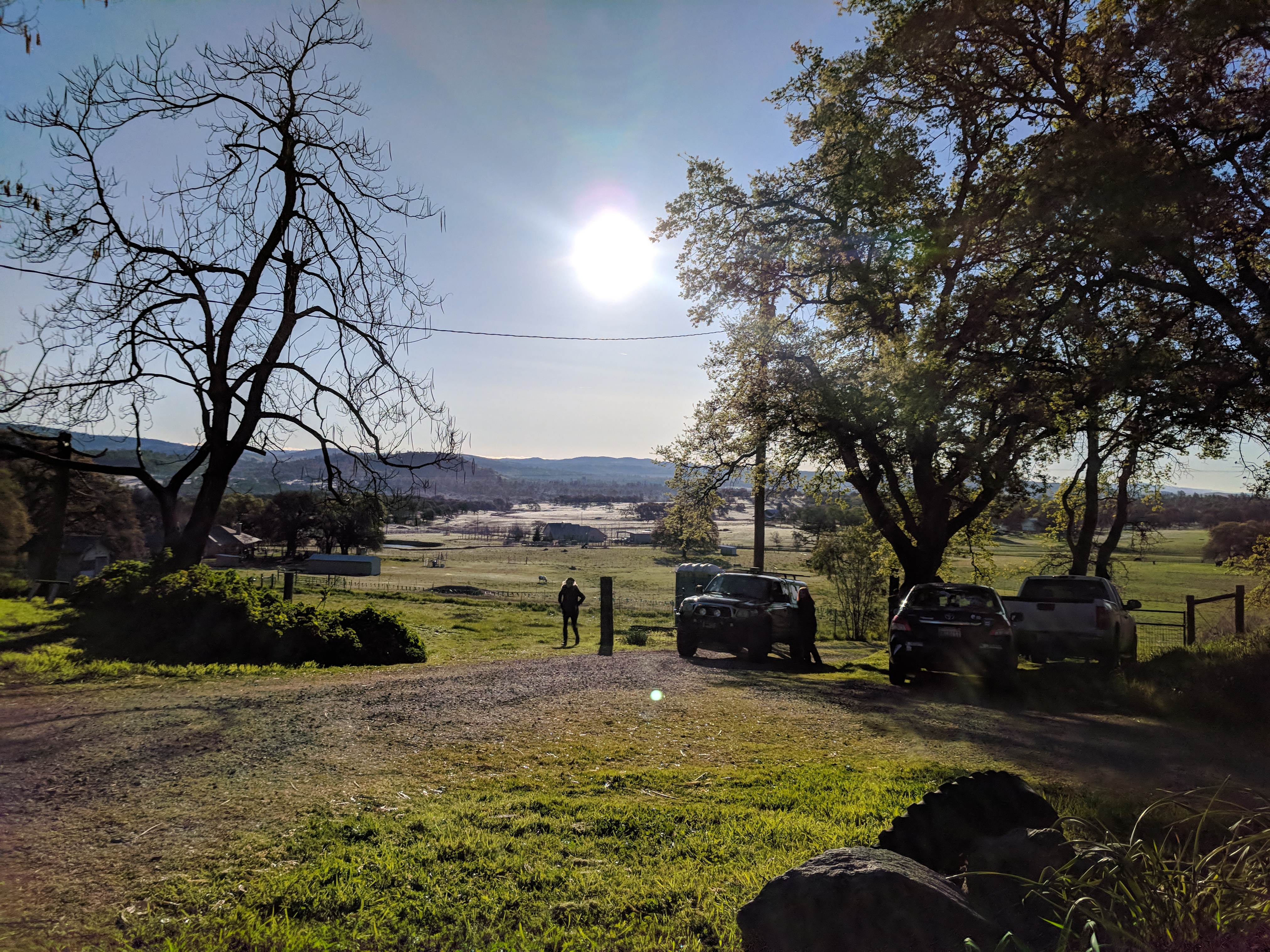
View from our driveway of the gorgeous sunset tonight #norcallife #friendsoffoxtail
Another View to Ponder

Spring Beauty
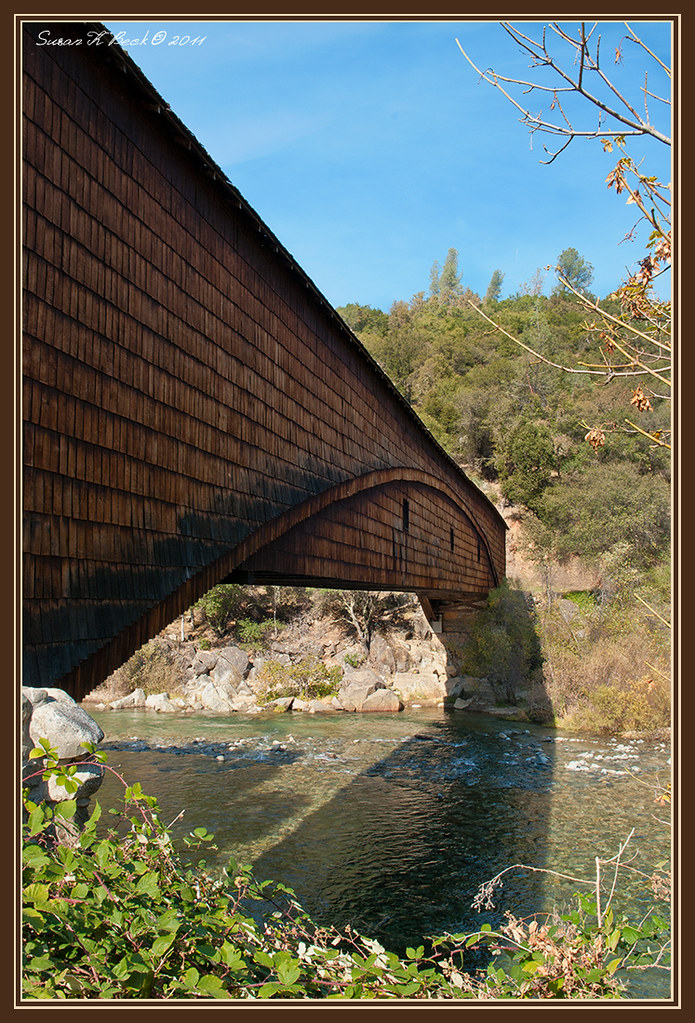
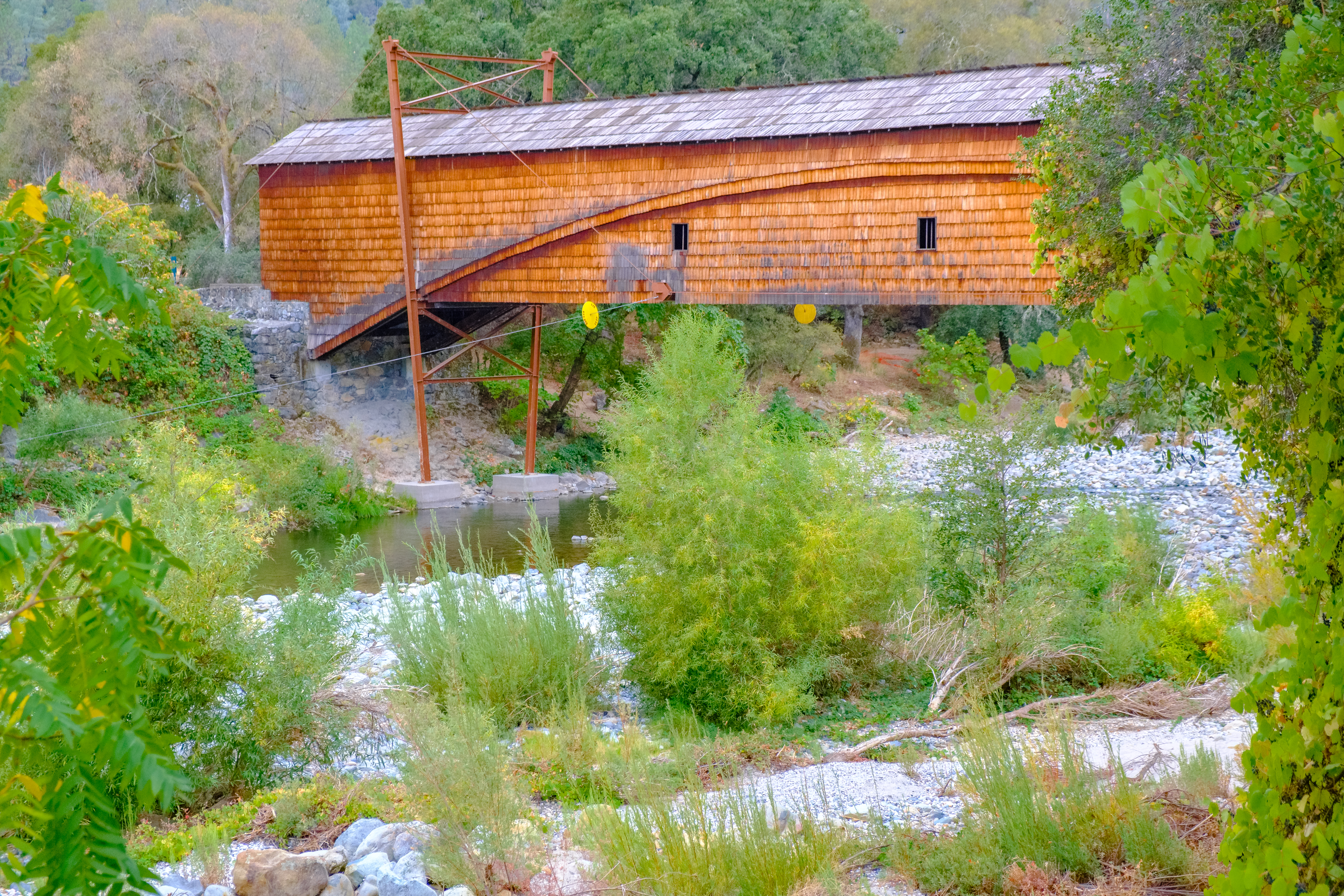
Bridgeport Bridge
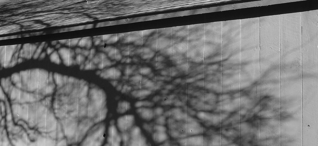
Shadow Play

Bridgeport Covered Bridge, Infrared

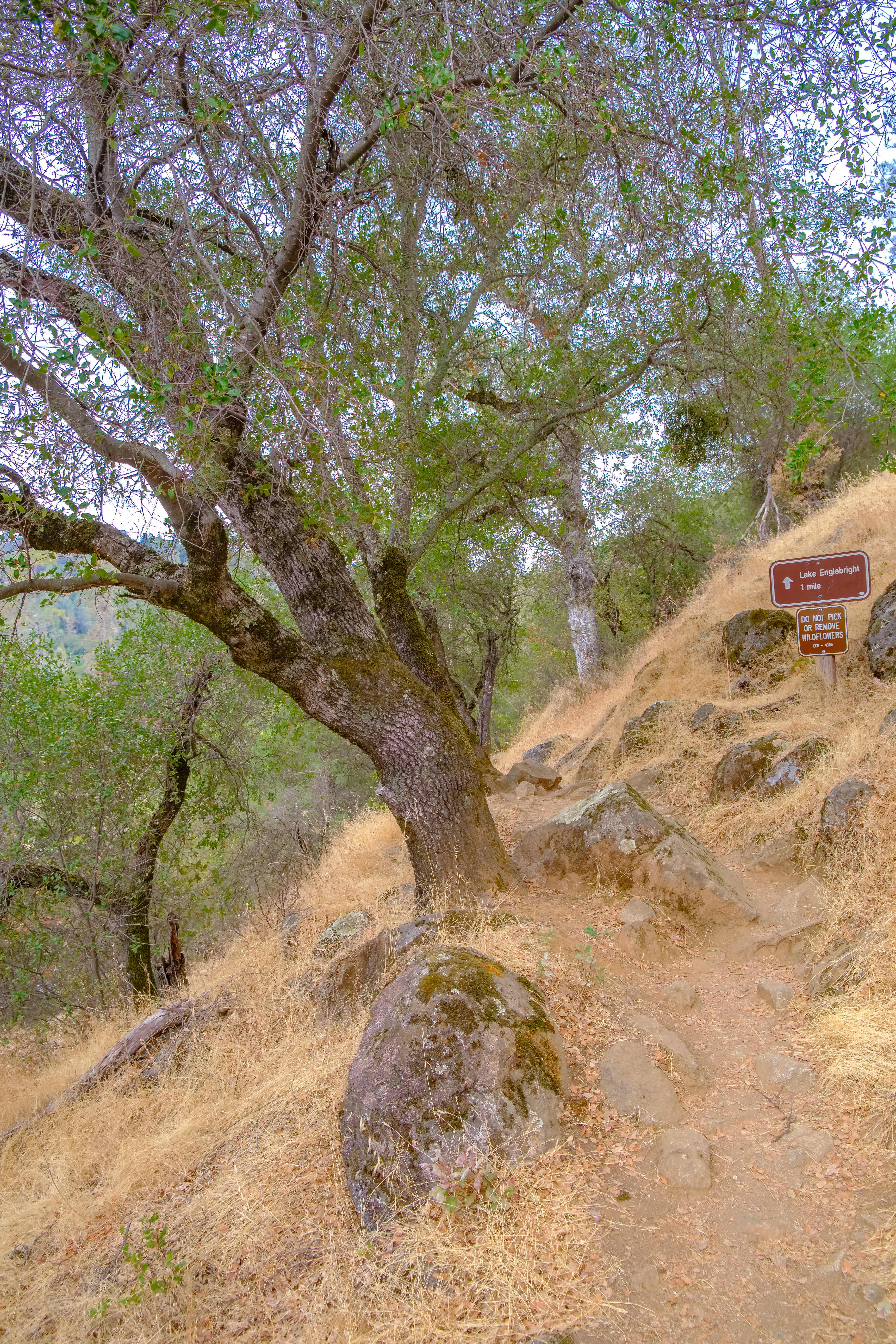
View from the Buttermilk Trail
Chilling with the family and enjoying the view as well as a great weekend.
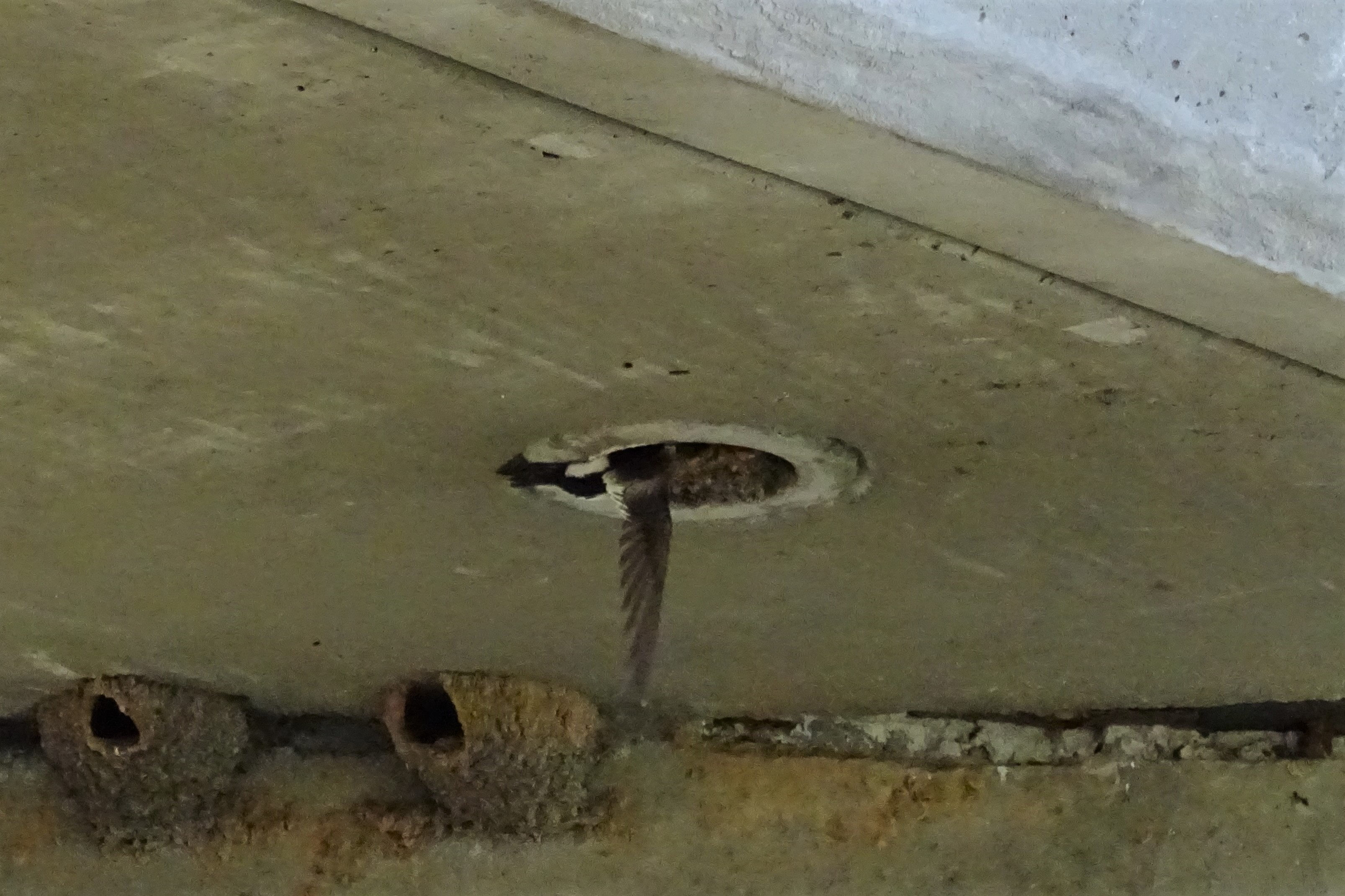
White-throated Swift--Aeronautes saxatalis

Covered Bridge
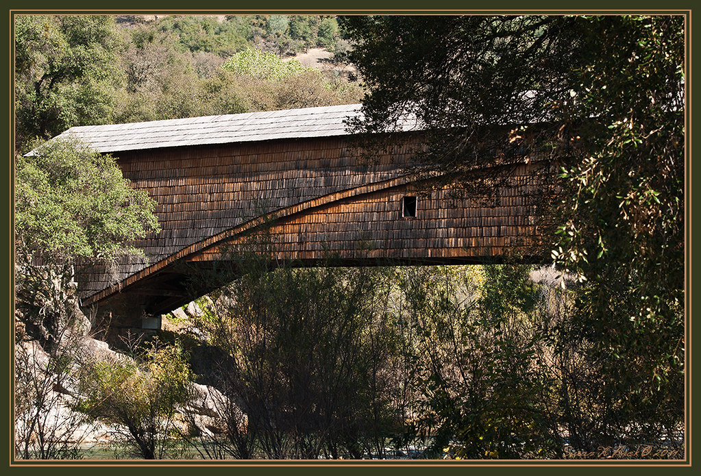
Bridgeport Bridge

IMG_6376 View from the Bridge window
The Kneebone

Bridgport Covered Bridge

Everywhere You Look

White Water

Indian Summer

South Yuba River Sunset
DSCF1520.jpg
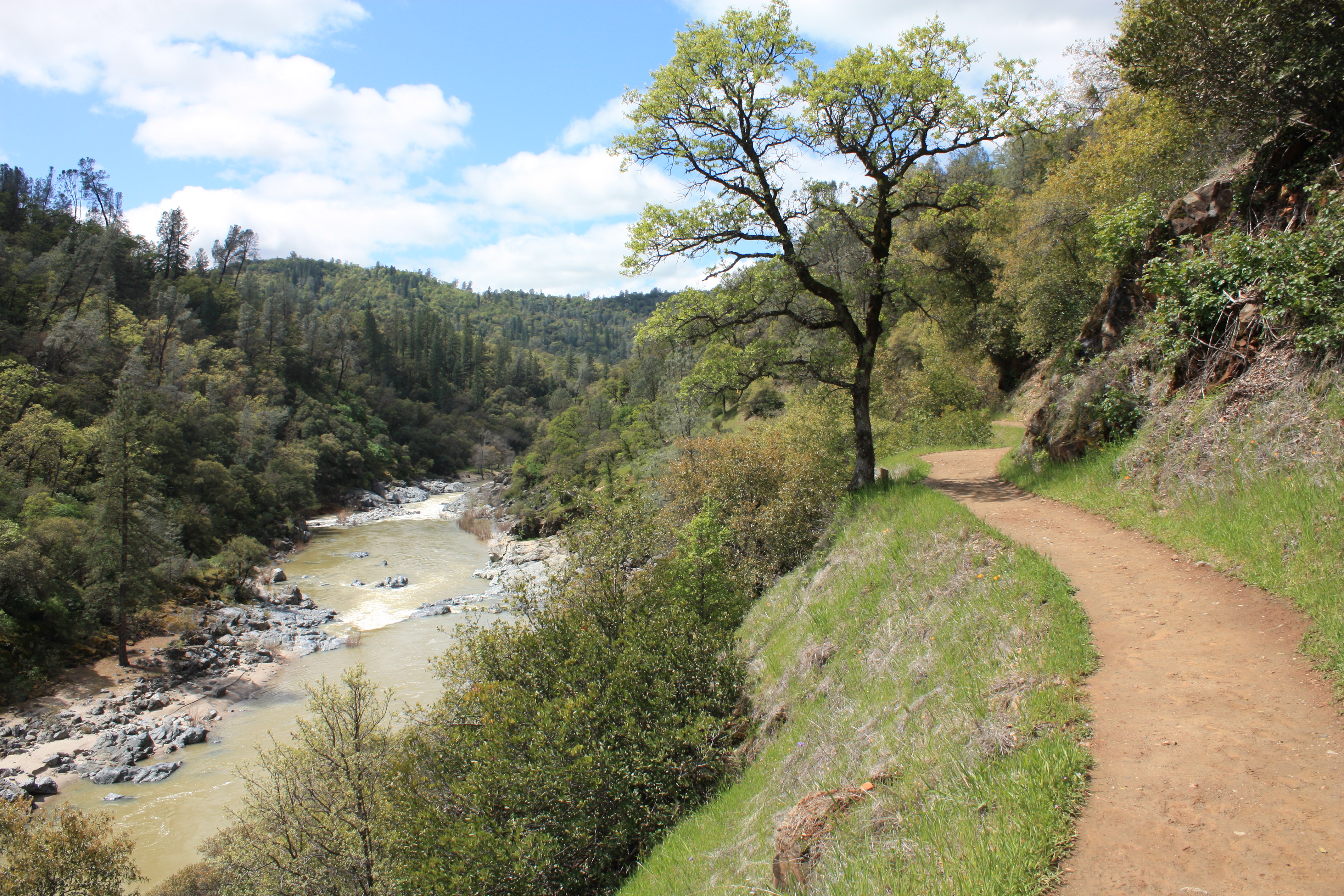
Buttermilk Bend Trail
DSCF1543.jpg
DSCF1511.jpg
DSCF1545.jpg

DSCF1523.jpg

IMG_6373 View upriver
Yuba Goldfields - Hammonton Rd, Marysville, CA
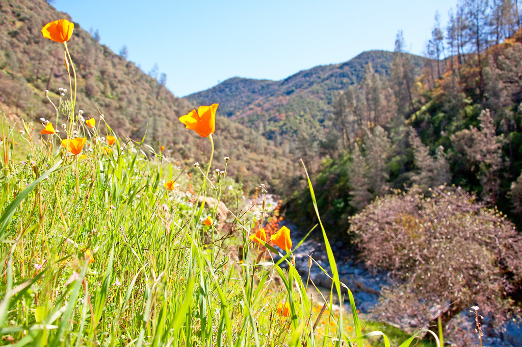
Tufted Poppy (Eschscholzia caepitosa) blooms adorn the east slope of South Yuba River Canyon
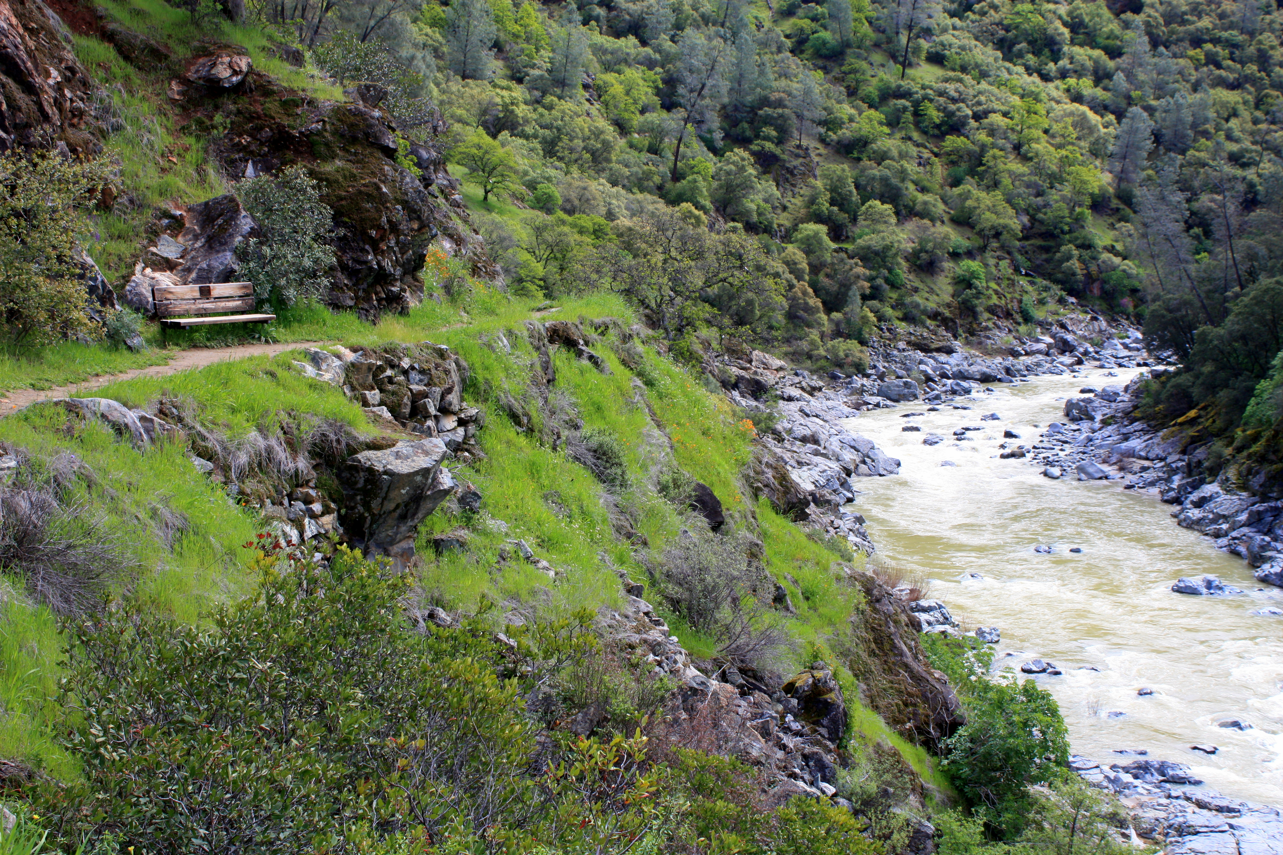
Buttermilk Bench
Topographic Map of Oat Hills Road, Oat Hills Rd, California, USA
Find elevation by address:

Places near Oat Hills Road, Oat Hills Rd, California, USA:
7277 Oat Hills Rd
Mountain View Terrace, Browns Valley, CA, USA
11178 Township Rd
7384 Redhill Way
7512 Redhill Way
7420 White Oak Ln
7202 White Oak Ln
7156 White Oak Ln
11481 Mourning Dove
7850 White Oak Ln
6942 Therese Trail
Michelle Way
Therese Trail
12172 Dolan Harding Rd
11419 Shadow Ln
7318 Michelle Way
Deer Ridge Court
Gary Drive
6415 Bayberry Ln
9837 Gary Dr
Recent Searches:
- Elevation of Tenjo, Cundinamarca, Colombia
- Elevation of Côte-des-Neiges, Montreal, QC H4A 3J6, Canada
- Elevation of Bobcat Dr, Helena, MT, USA
- Elevation of Zu den Ihlowbergen, Althüttendorf, Germany
- Elevation of Badaber, Peshawar, Khyber Pakhtunkhwa, Pakistan
- Elevation of SE Heron Loop, Lincoln City, OR, USA
- Elevation of Slanický ostrov, 01 Námestovo, Slovakia
- Elevation of Spaceport America, Co Rd A, Truth or Consequences, NM, USA
- Elevation of Warwick, RI, USA
- Elevation of Fern Rd, Whitmore, CA, USA