Elevation of White Oak Ln, Browns Valley, CA, USA
Location: United States > California > Yuba County > Browns Valley >
Longitude: -121.33517
Latitude: 39.2963783
Elevation: 296m / 971feet
Barometric Pressure: 98KPa
Elevation Map:
Satellite Map:
Related Photos:

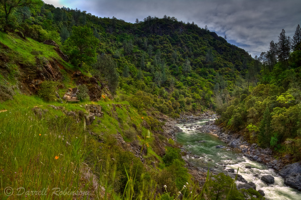
Run River Run

Spring Beauty

Wells Fargo & Co. Express Building - 1853
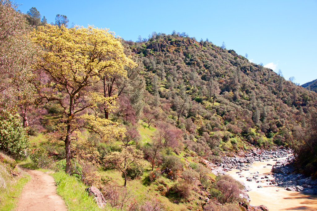
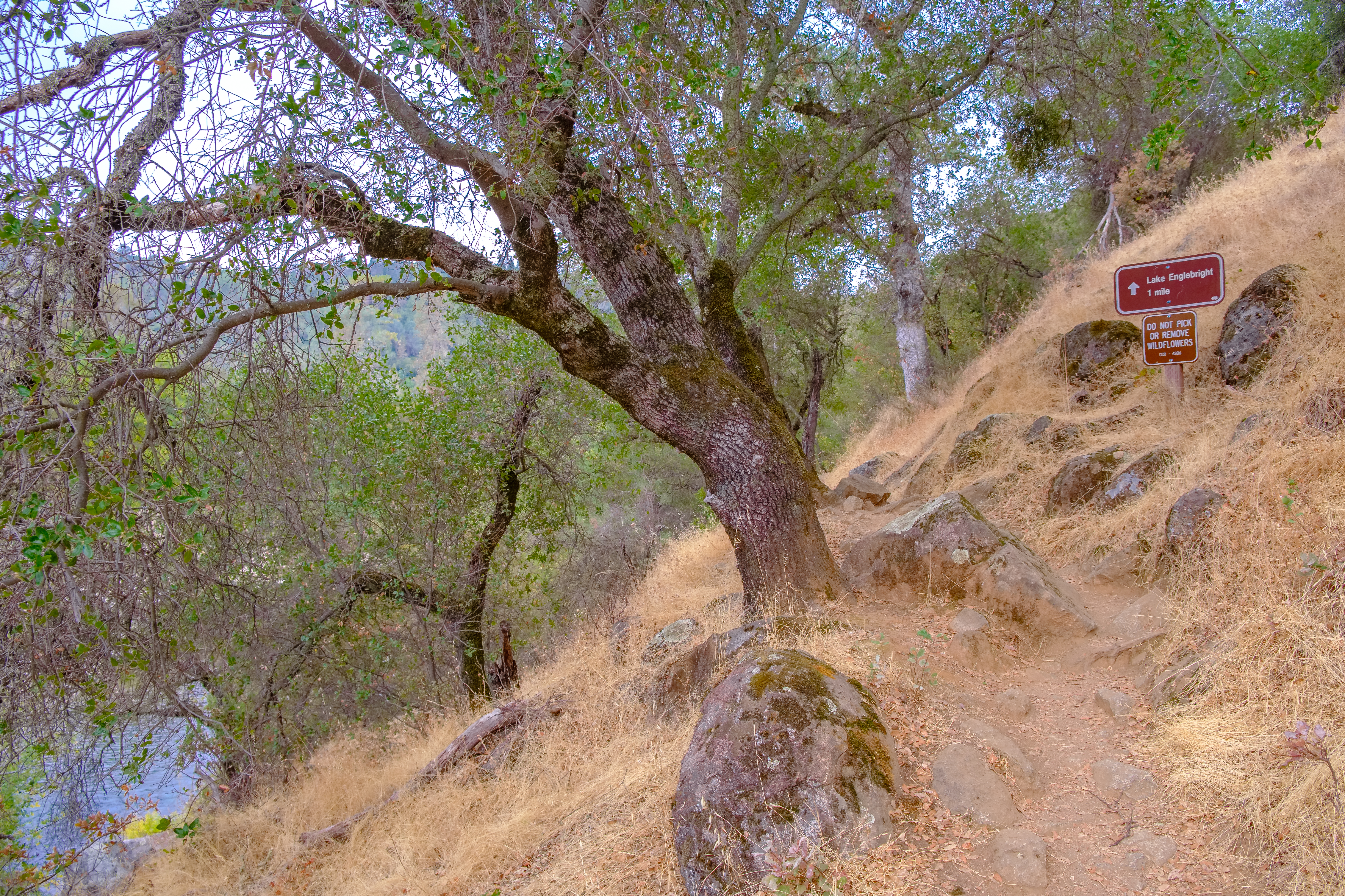
South Yuba River & Buttermilk Bend Trail

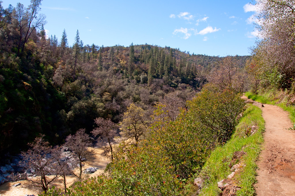
View from the Buttermilk Trail
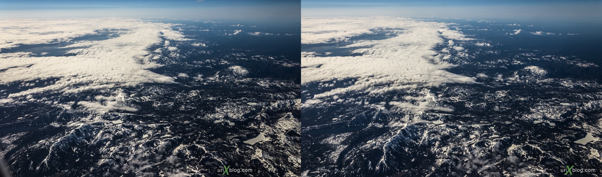
Rocky mountains, USA, CrossView
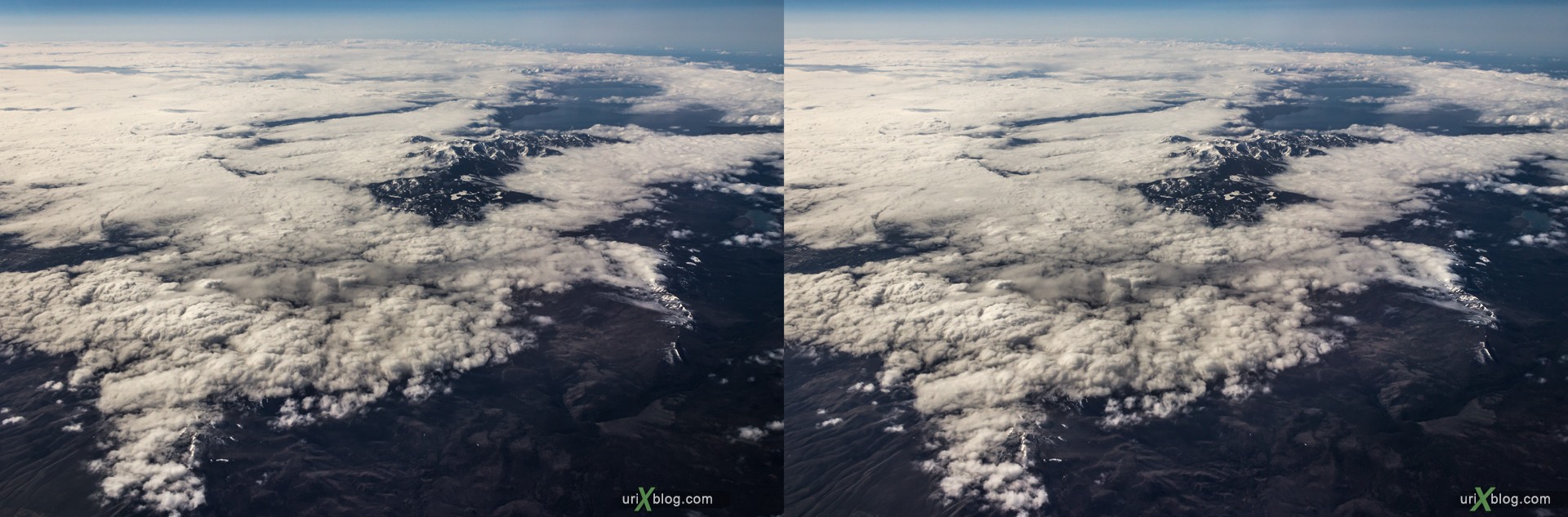
Rocky mountains, USA, CrossView
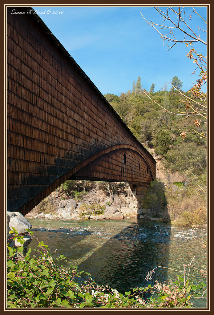
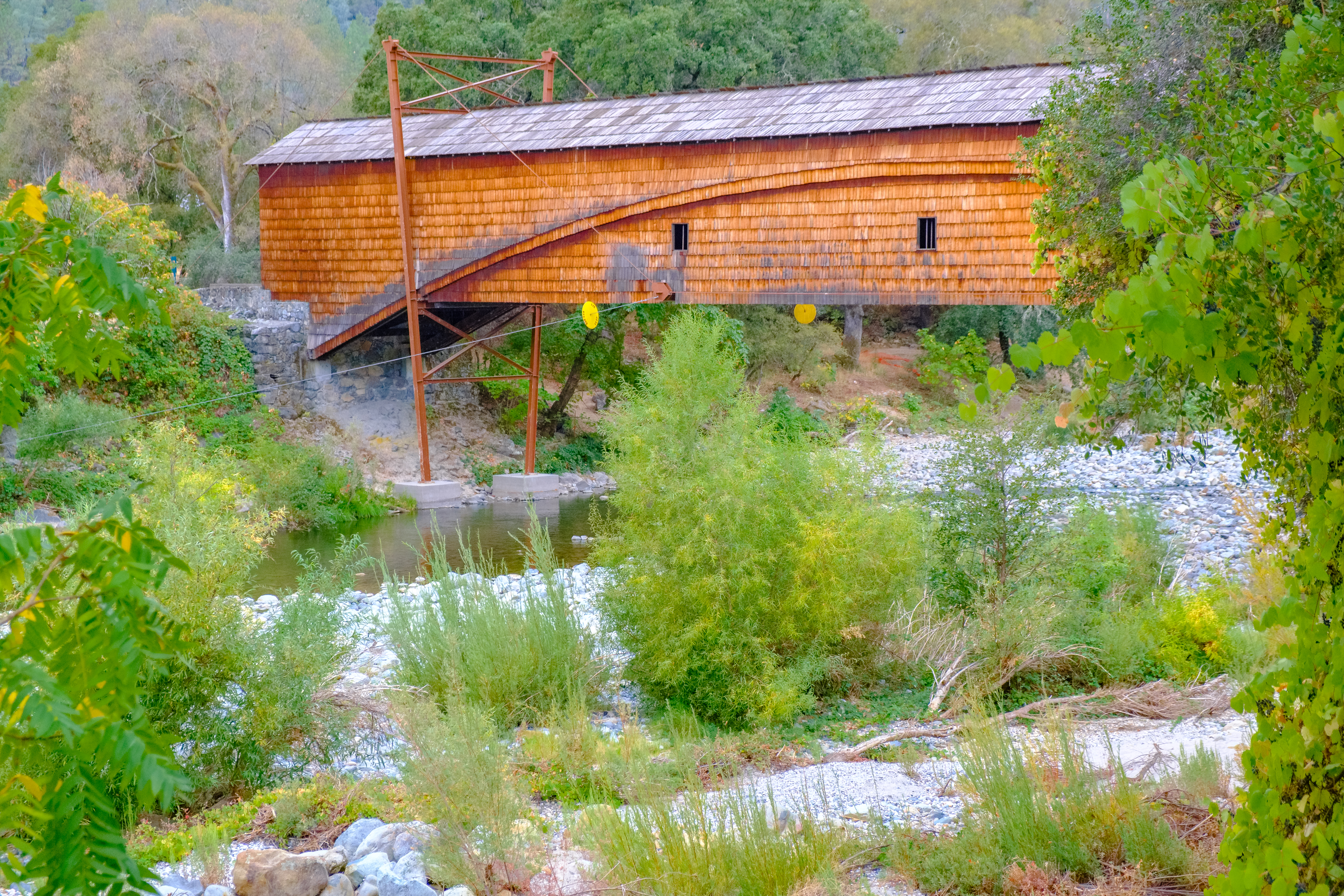
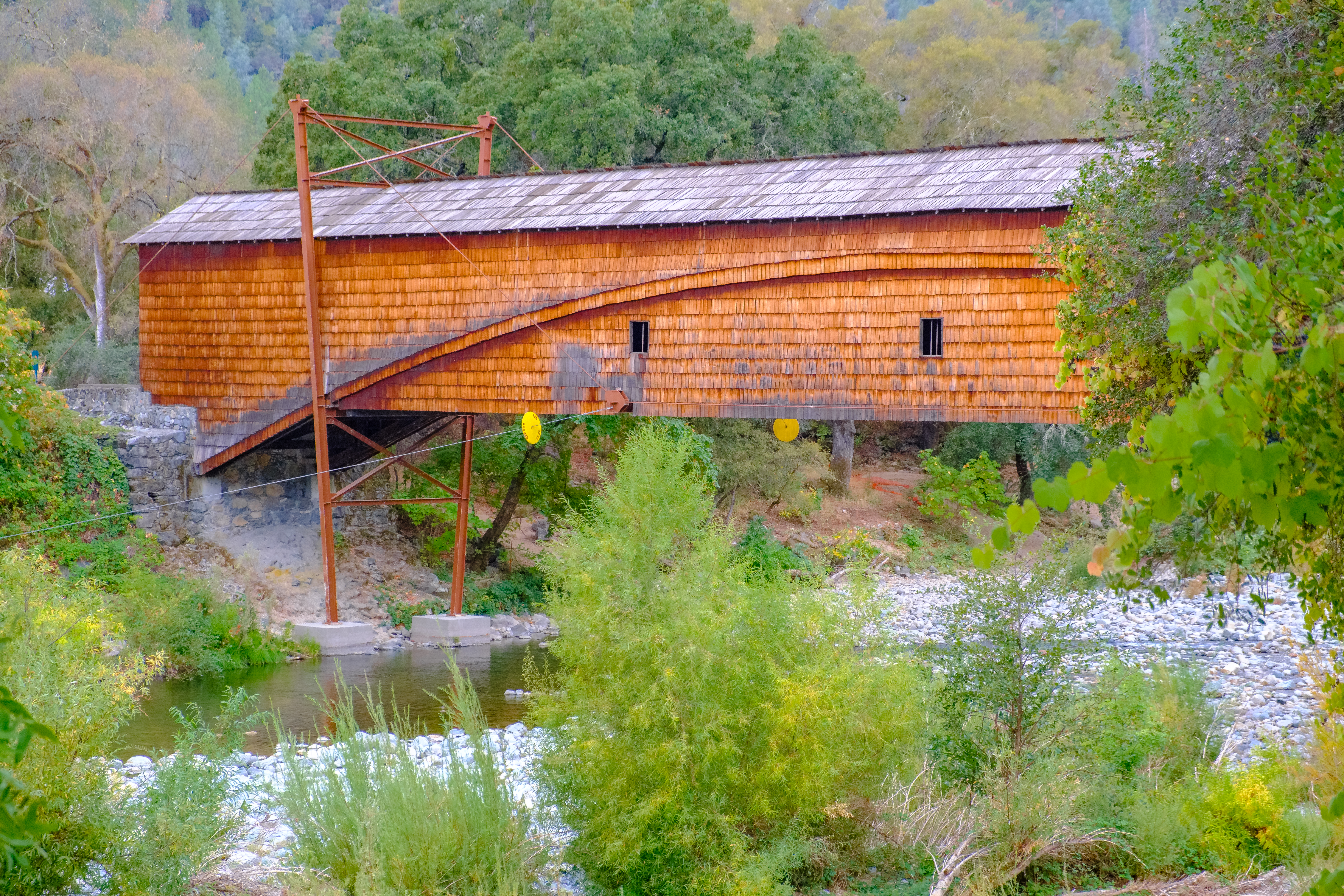
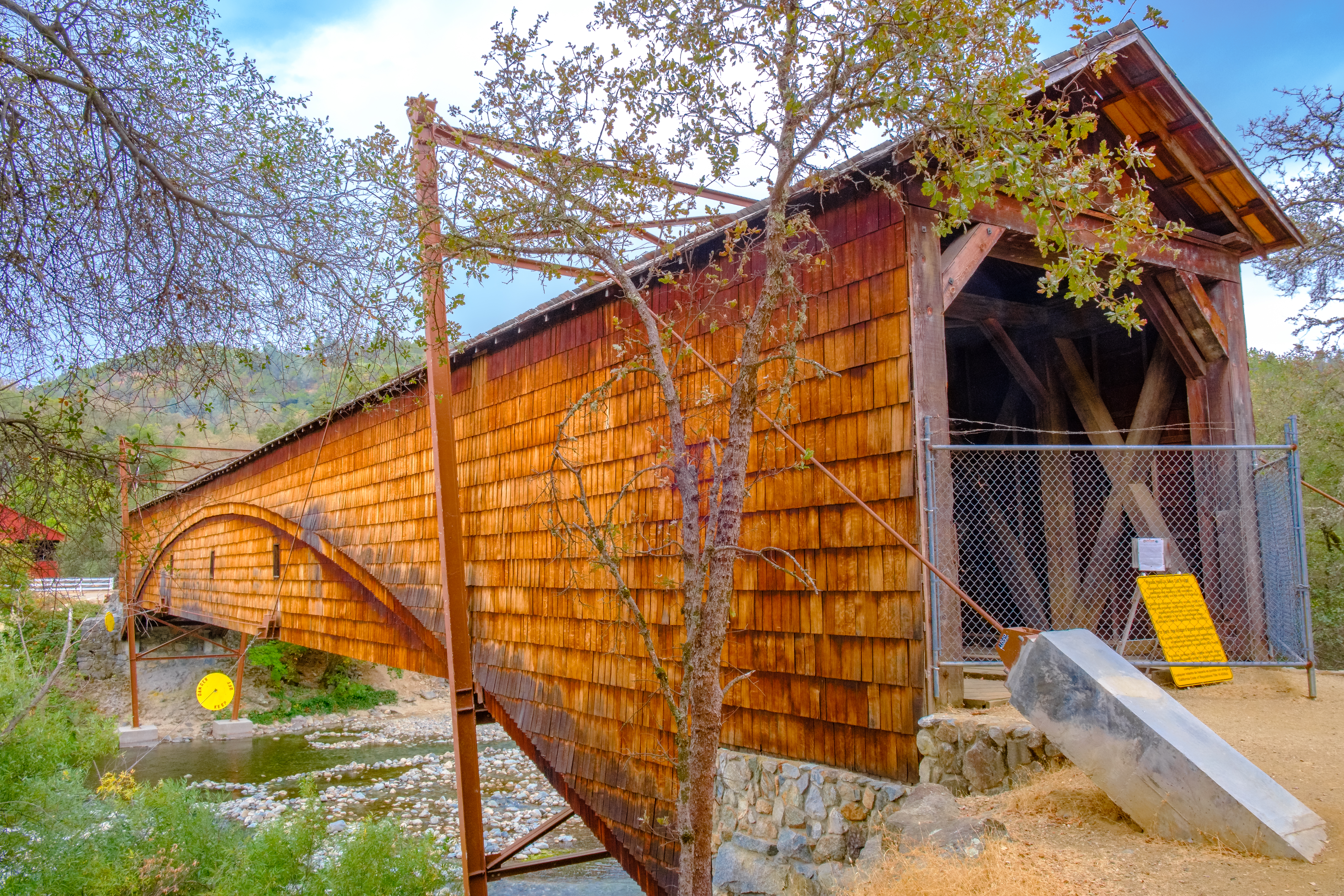
Bridgeport Bridge

Viewing the new through the old

Bridgeport Covered Bridge, Infrared
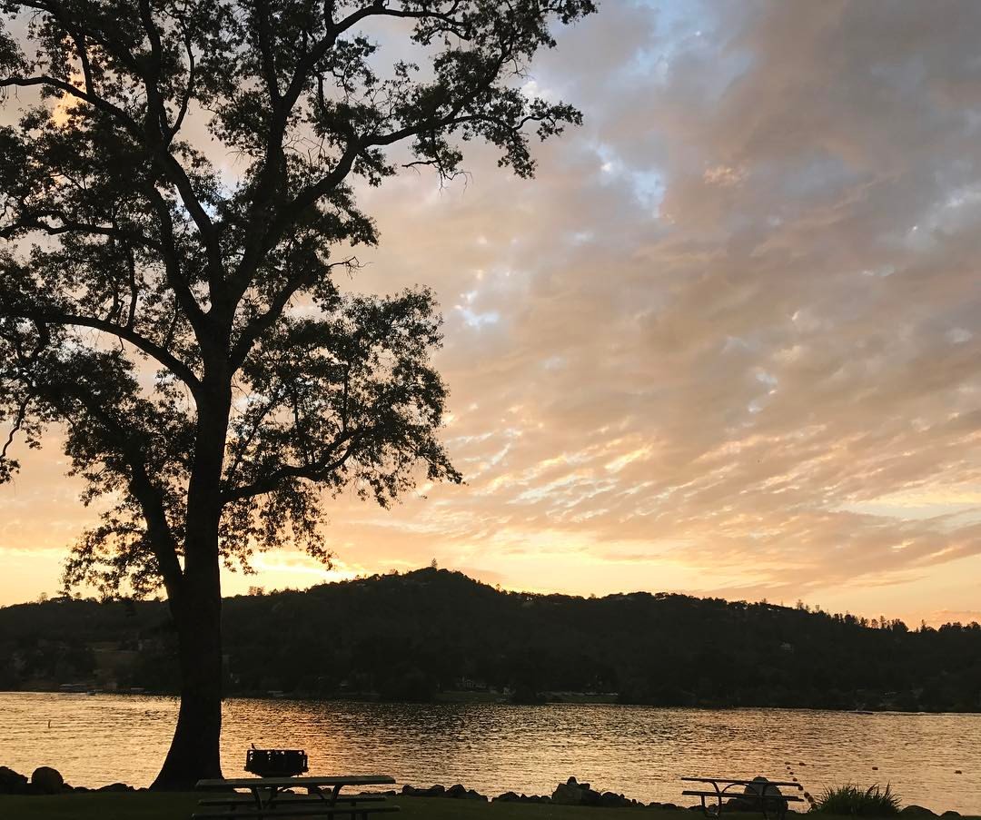
Sunset view from Vista Park #norcallife #friendsoffoxtail
Chilling with the family and enjoying the view as well as a great weekend.
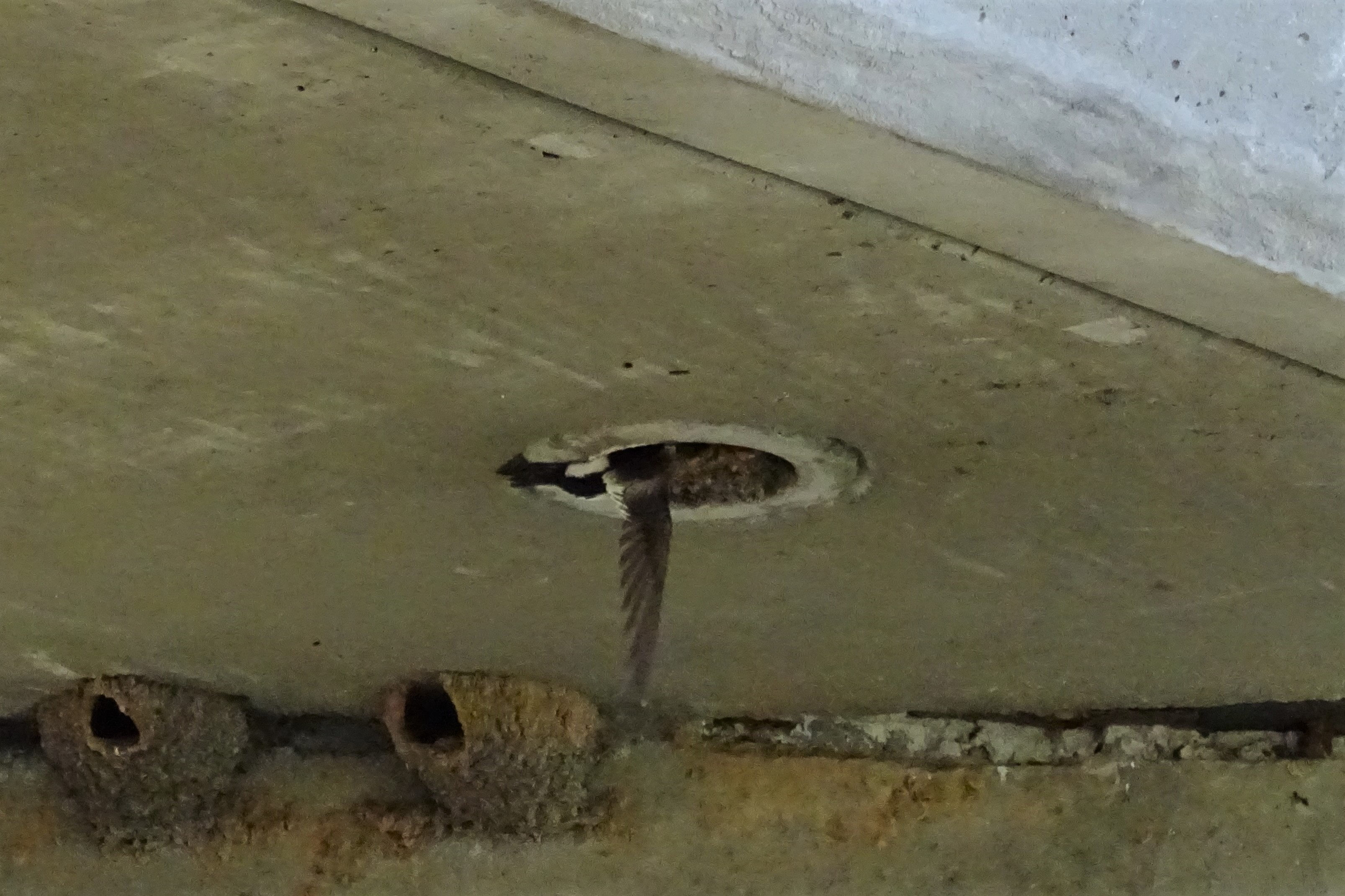
White-throated Swift--Aeronautes saxatalis

Covered Bridge
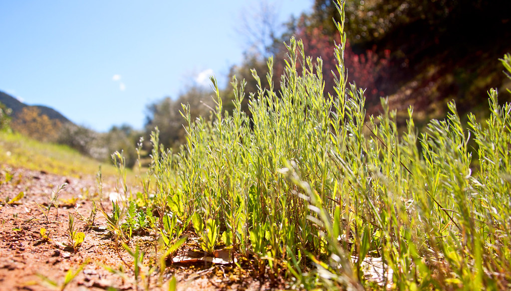
Set from Honey I Shrunk the Kids! - a real bugs eye view of the world
South Yuba River Canyon - under full spring bloom and glorious sunshine
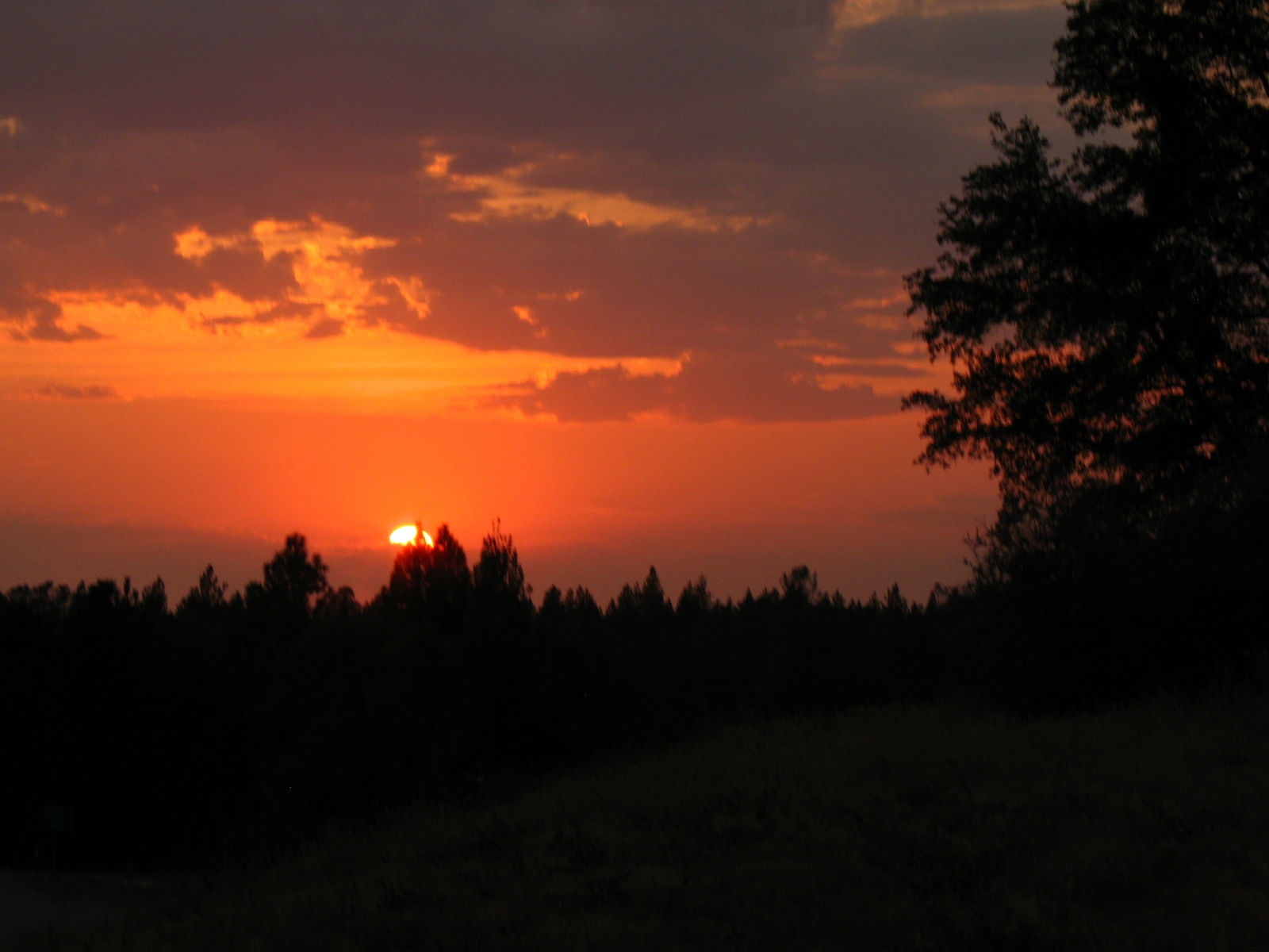
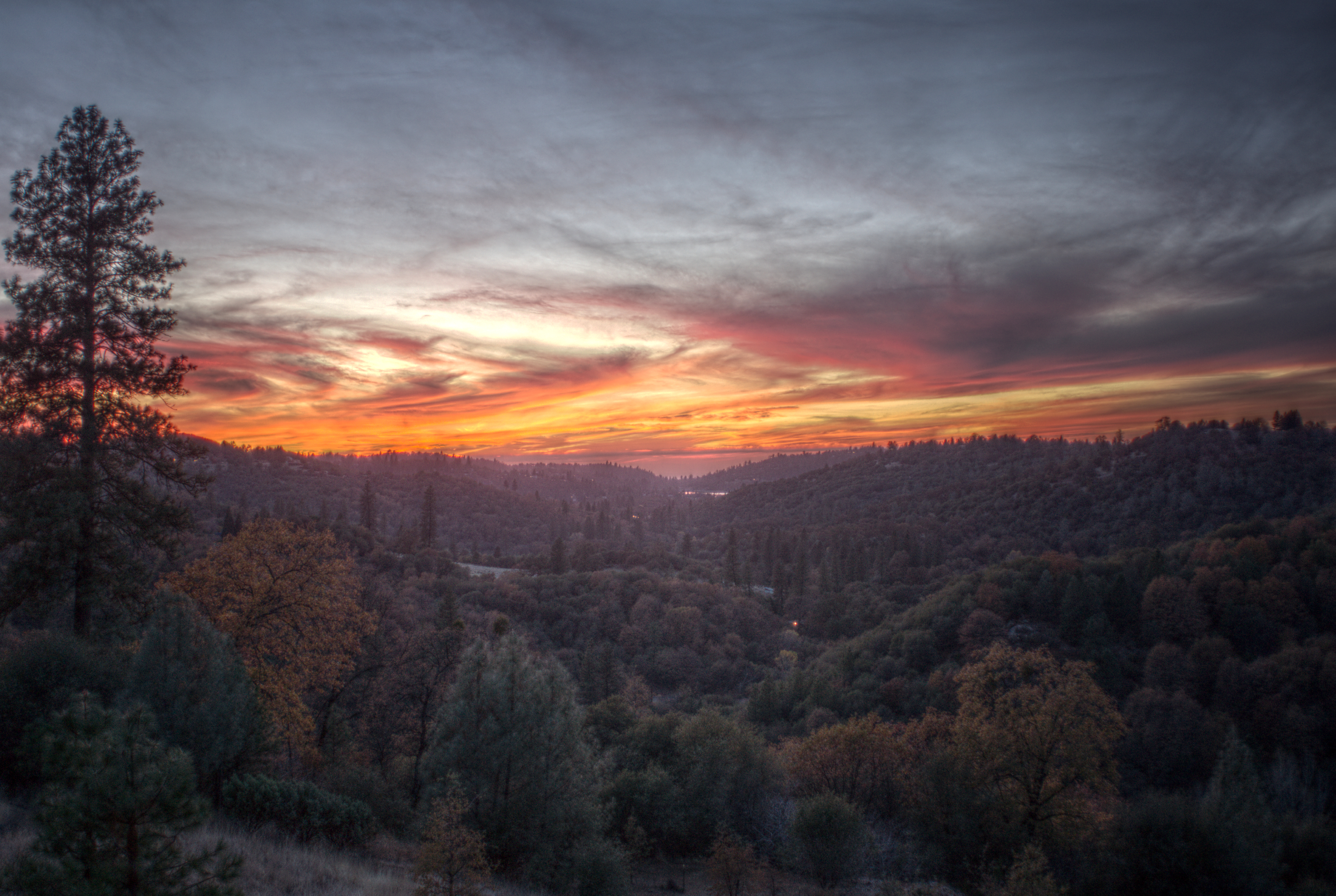
Sierra Nevada sunset view
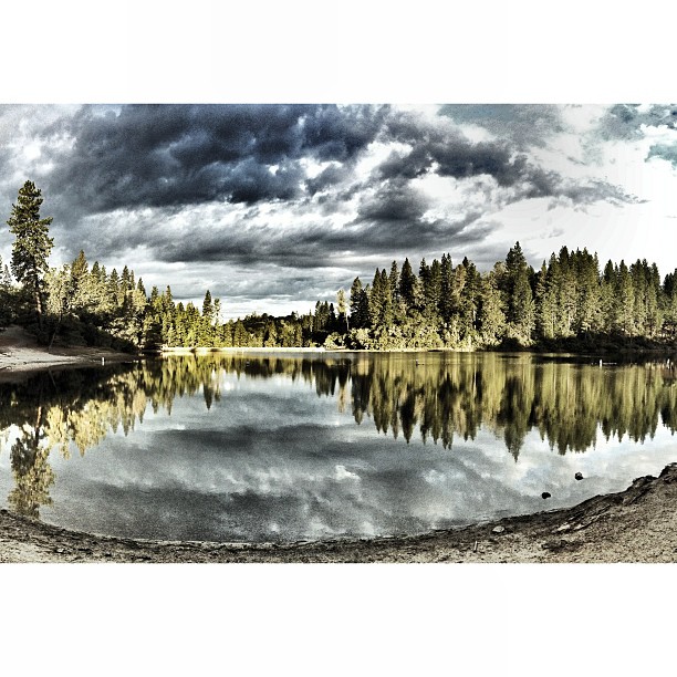
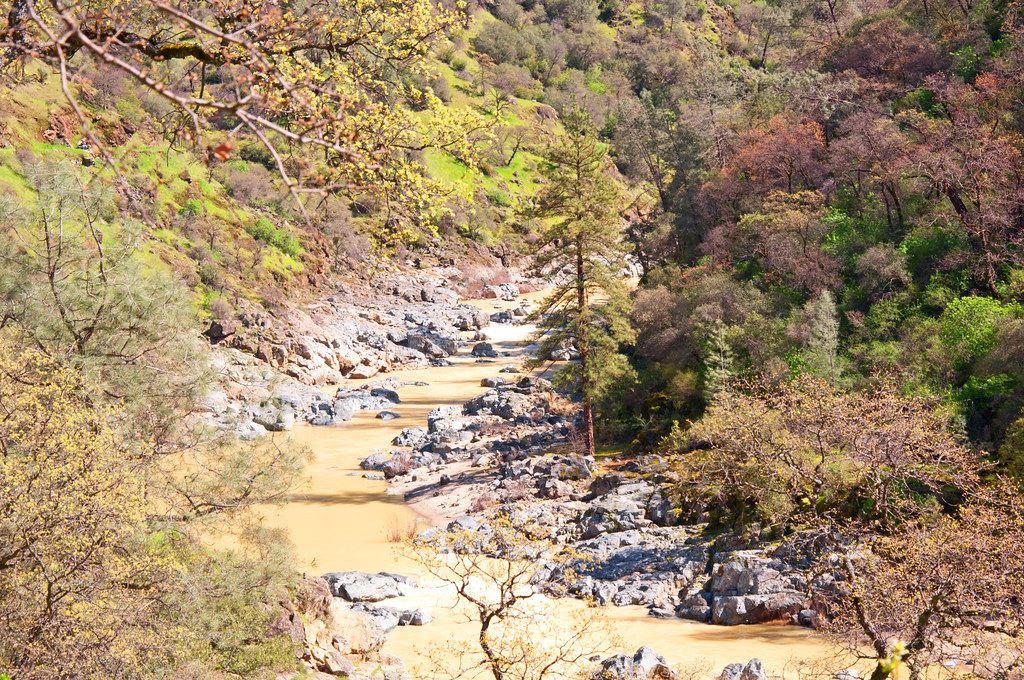
South Yuba River Canyon

Map of South Yuba River State Park
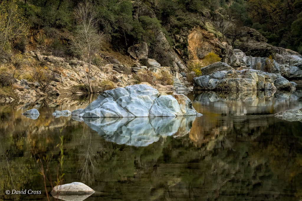
South Yuba River
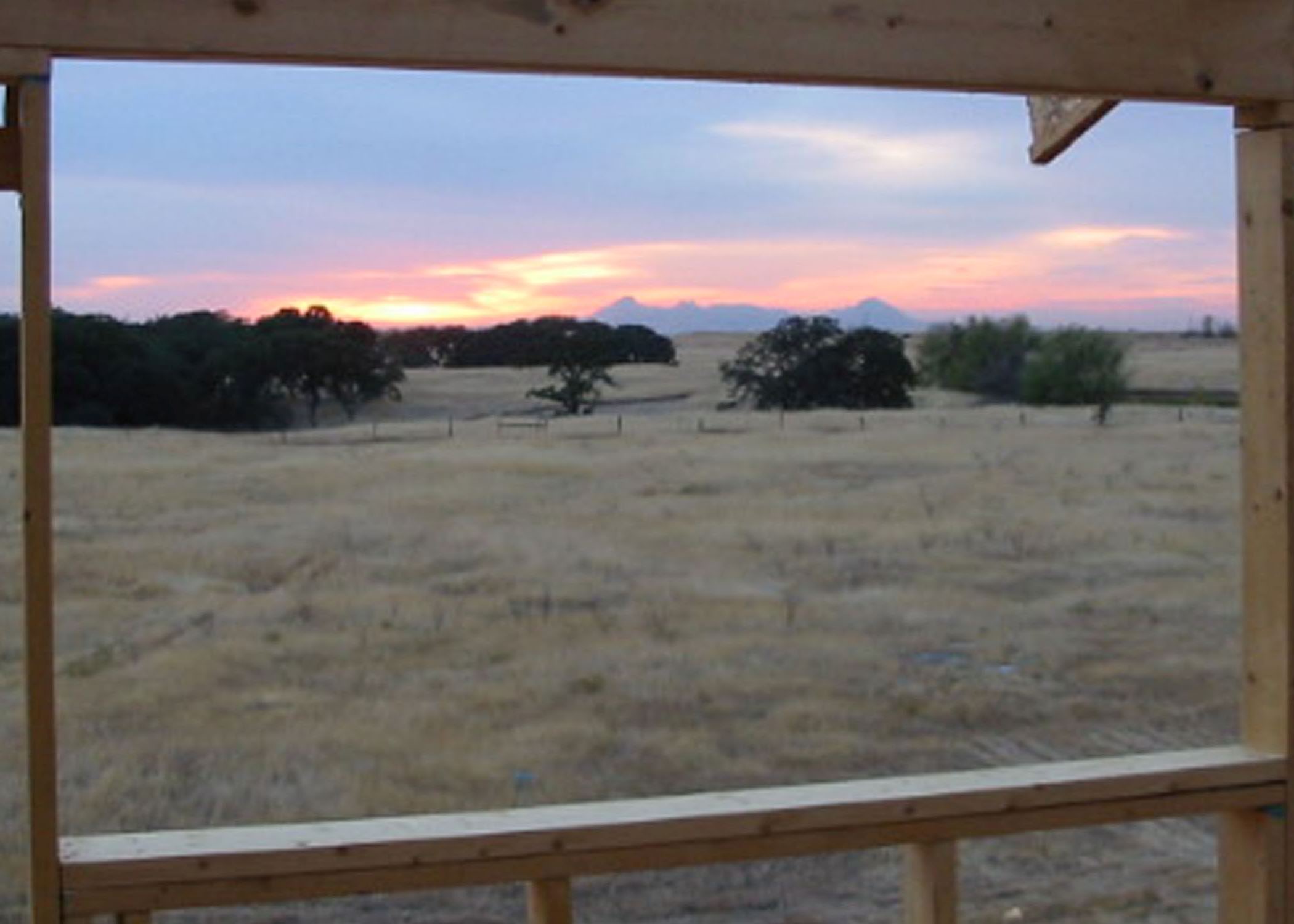
Sutter Buttes Sunset during Construction
The Kneebone

A Time for Giving Thanks
Rough and Ready Sunset

South Yuba River Sunset
DSCF1511.jpg

DSCF1523.jpg

Sunset in the Sacramento Valley Foothills
DSCF1504.jpg
DSCF1545.jpg

Sunset Over the Sutter Buttes

Bridgport Covered Bridge

Lakeside With The Stars

Taking a Walk

Indian Summer

White Water
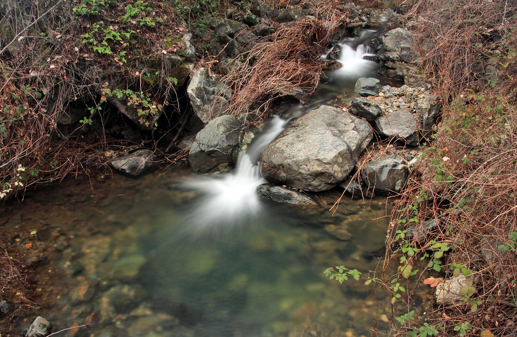
French Corral Creek

DSCN7378-Edit.jpg
DSCF1520.jpg

Clearing storm
Topographic Map of White Oak Ln, Browns Valley, CA, USA
Find elevation by address:

Places near White Oak Ln, Browns Valley, CA, USA:
7384 Redhill Way
11481 Mourning Dove
7202 White Oak Ln
7512 Redhill Way
7156 White Oak Ln
7850 White Oak Ln
12172 Dolan Harding Rd
7277 Oat Hills Rd
Oat Hills Road
Michelle Way
7318 Michelle Way
11178 Township Rd
Mountain View Terrace, Browns Valley, CA, USA
Therese Trail
7122 Marysville Rd
6942 Therese Trail
7145 Cross Star Trail
12167 Fargo Way
11419 Shadow Ln
6415 Bayberry Ln
Recent Searches:
- Elevation of Rojo Ct, Atascadero, CA, USA
- Elevation of Flagstaff Drive, Flagstaff Dr, North Carolina, USA
- Elevation of Avery Ln, Lakeland, FL, USA
- Elevation of Woolwine, VA, USA
- Elevation of Lumagwas Diversified Farmers Multi-Purpose Cooperative, Lumagwas, Adtuyon, RV32+MH7, Pangantucan, Bukidnon, Philippines
- Elevation of Homestead Ridge, New Braunfels, TX, USA
- Elevation of Orchard Road, Orchard Rd, Marlborough, NY, USA
- Elevation of 12 Hutchinson Woods Dr, Fletcher, NC, USA
- Elevation of Holloway Ave, San Francisco, CA, USA
- Elevation of Norfolk, NY, USA