Elevation of Oak Creek Ln, Abbeville, LA, USA
Location: United States > Louisiana > Vermilion Parish > >
Longitude: -92.115689
Latitude: 30.0032947
Elevation: 3m / 10feet
Barometric Pressure: 101KPa
Elevation Map:
Satellite Map:
Related Photos:
View Across the Pond

Chromatic Comeauxs - Yaay 740+ views!

water view sooc

Barbed With A View
IMG_3889-3

Shucks!

Abbeville Park

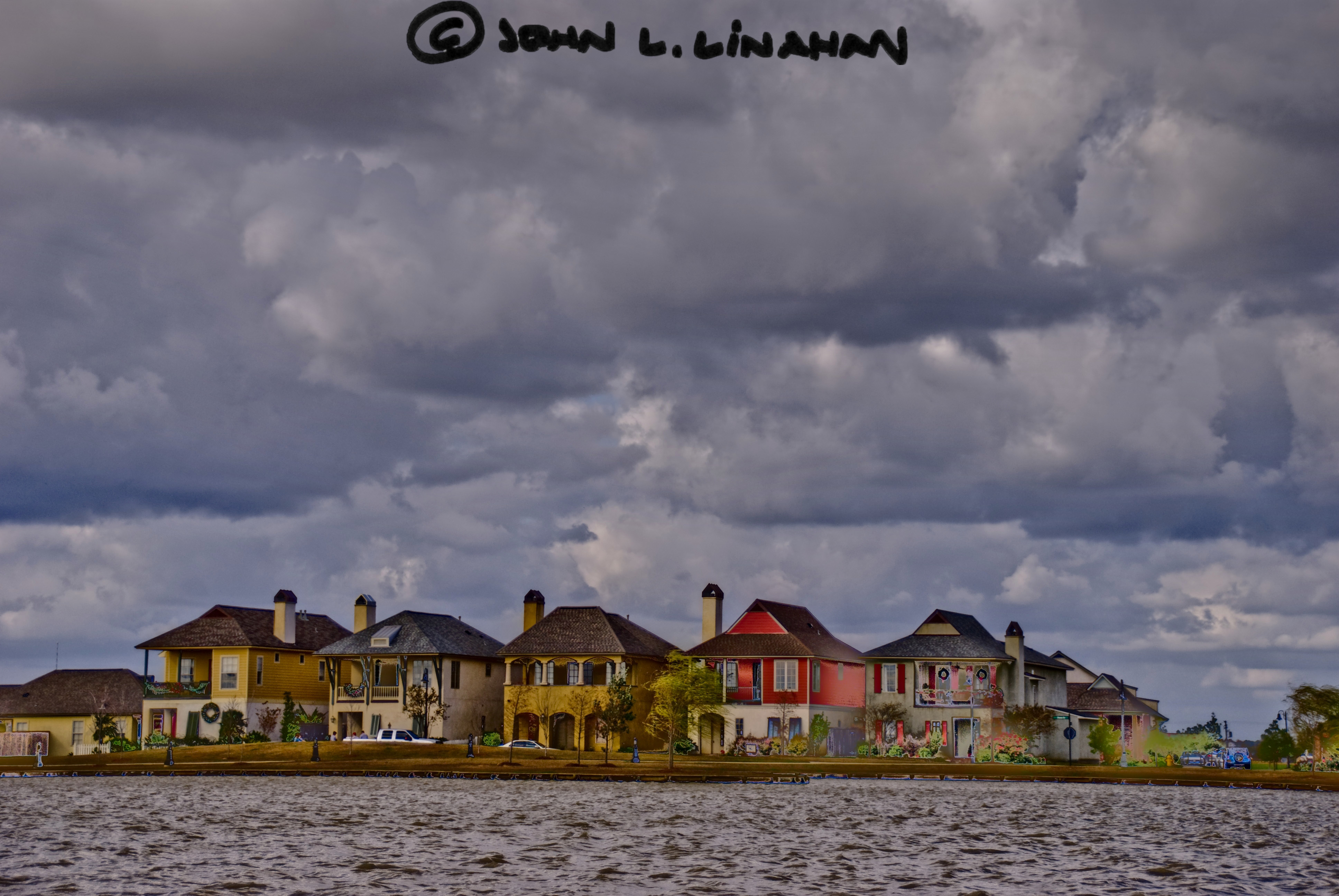
Sugar Mill Pond

Sugar Mill Pond

Sugar Mill Pond

A very green swamp
JeffersonIsland-71.jpg

JeffersonIsland-22.jpg

JeffersonIsland-2.jpg

Camera Roll-34

Cajun Sunset

Photography Weekly Challenge (Flags)

Jefferson Island Louisiana 040112 009
Camera Roll-31

Camera Roll-35

Jefferson Island 071110 009

Rookery Landscape

Vermilion River Reflections
Topographic Map of Oak Creek Ln, Abbeville, LA, USA
Find elevation by address:

Places near Oak Creek Ln, Abbeville, LA, USA:
8934 Oak Creek Ln
8922 Oak Creek Ln
8315 River Rd
10525 La-82
1803 E Villien Ave
1715 N State St
402 E Villien Ave
318 E Villien Ave
310 E Villien Ave
302 E Villien Ave
Abbeville, LA, USA
300 E Villien Ave
300 E Villien Ave
302 E Magnolia Ave
218 E Magnolia Ave
205 E Magnolia Ave
213 Colby Dr
337 Colby Dr
210 W Villien Ave
1820 Graceland Ave
Recent Searches:
- Elevation of Zu den Ihlowbergen, Althüttendorf, Germany
- Elevation of Badaber, Peshawar, Khyber Pakhtunkhwa, Pakistan
- Elevation of SE Heron Loop, Lincoln City, OR, USA
- Elevation of Slanický ostrov, 01 Námestovo, Slovakia
- Elevation of Spaceport America, Co Rd A, Truth or Consequences, NM, USA
- Elevation of Warwick, RI, USA
- Elevation of Fern Rd, Whitmore, CA, USA
- Elevation of 62 Abbey St, Marshfield, MA, USA
- Elevation of Fernwood, Bradenton, FL, USA
- Elevation of Felindre, Swansea SA5 7LU, UK