Elevation of Graceland Ave, Abbeville, LA, USA
Location: United States > Louisiana > Vermilion Parish > > Abbeville >
Longitude: -92.117157
Latitude: 29.9784619
Elevation: 3m / 10feet
Barometric Pressure: 101KPa
Elevation Map:
Satellite Map:
Related Photos:

Barbed With A View

Shucks!

IMG_3889-3

Abbeville Park
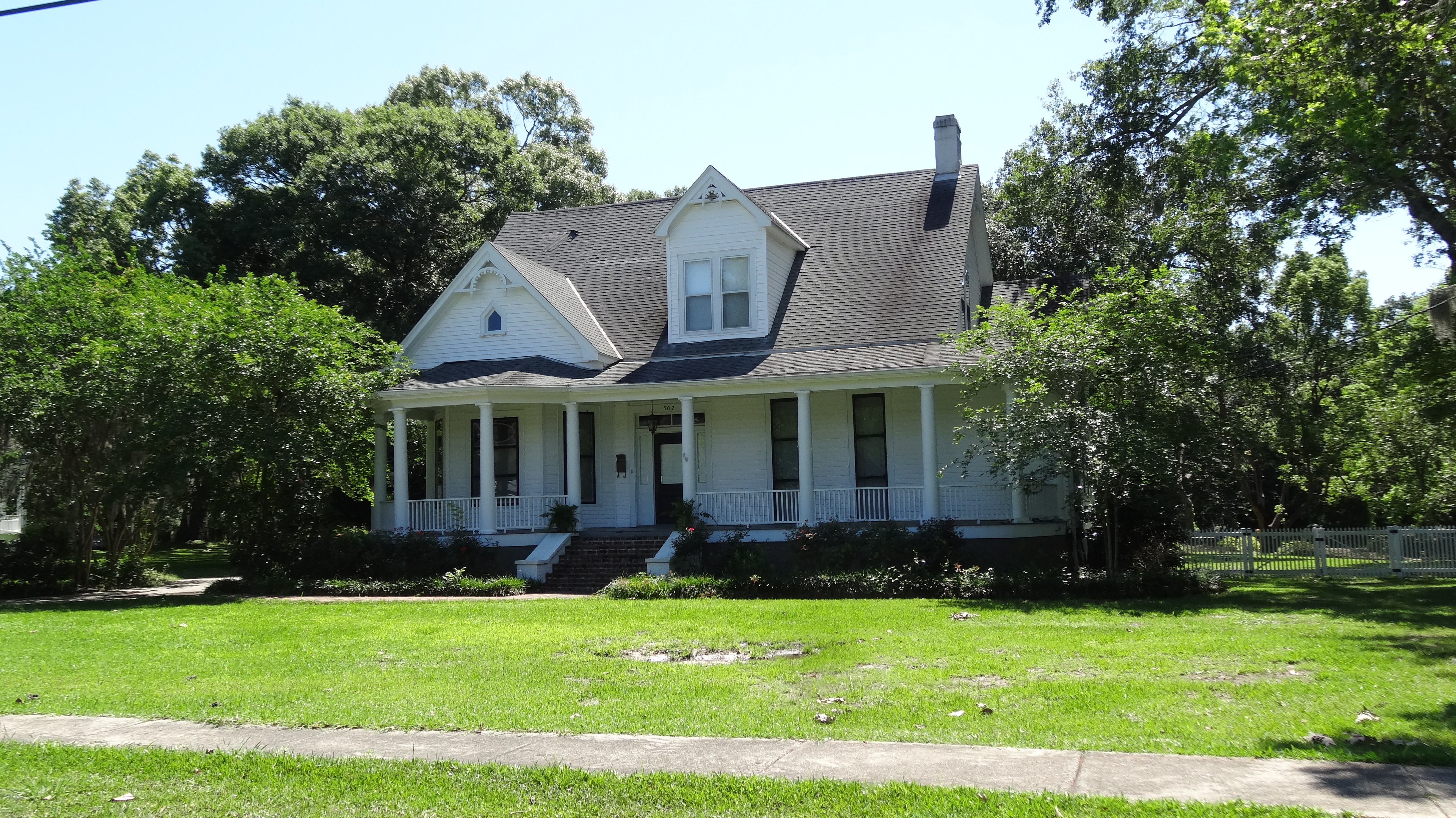
Abbeville, LA

Steen's Pure Cane Syrup, Abbeville, LA
JeffersonIsland-71.jpg

JeffersonIsland-22.jpg

Camera Roll-34

Vermilion River Reflections

Cajun Sunset

Camera Roll-31

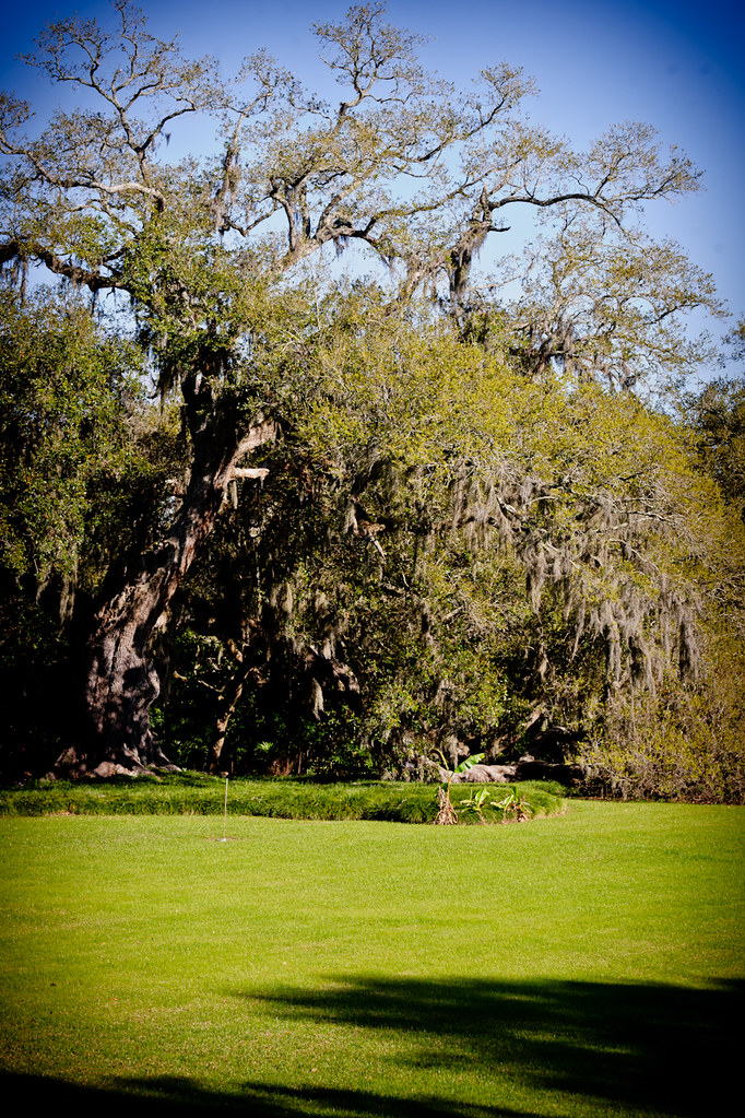
Rookery Landscape

A very green swamp

Milton LA Bridge

Young 'Un

IMG_4917 -- Rip Van Winkle Gardens - Jefferson Island, LA

Down by the Water

Our place at Abbeville RV Park
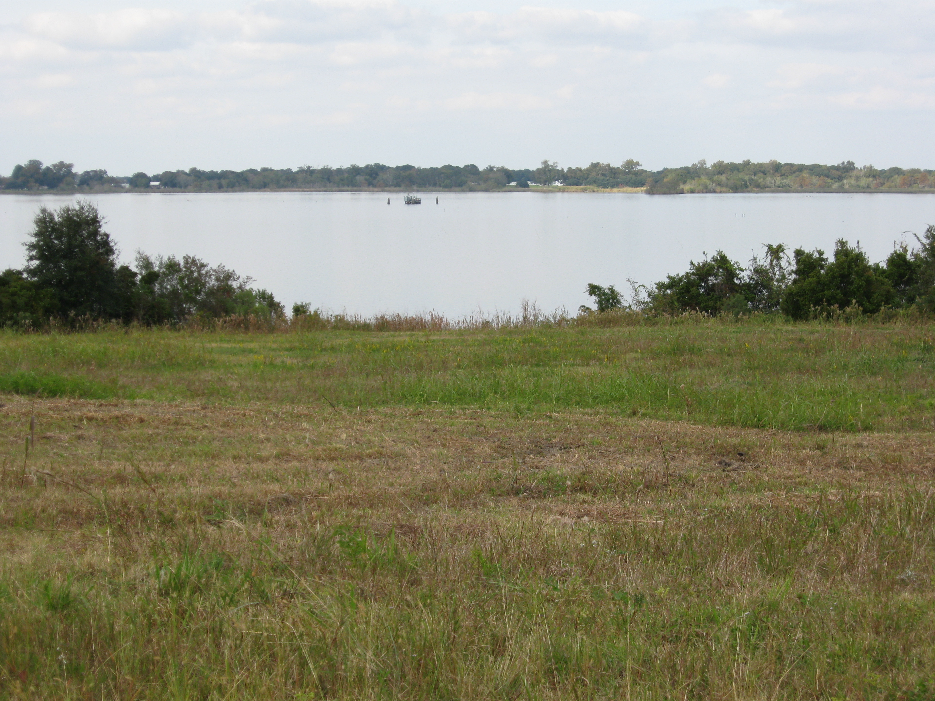
Lake Peigneur well site-2

a IMG_1550

a IMG_1540
Topographic Map of Graceland Ave, Abbeville, LA, USA
Find elevation by address:

Places near Graceland Ave, Abbeville, LA, USA:
7, LA, USA
1803 E Villien Ave
Abbeville, LA, USA
2402 Helen St
Highway 14 East
402 E Villien Ave
302 E Magnolia Ave
318 E Villien Ave
218 E Magnolia Ave
310 E Villien Ave
302 E Villien Ave
205 E Magnolia Ave
300 E Villien Ave
300 E Villien Ave
1715 N State St
105 N East St
N St Charles St, Abbeville, LA, USA
209 W Magnolia Ave
Abbeville
210 W Villien Ave
Recent Searches:
- Elevation of Congressional Dr, Stevensville, MD, USA
- Elevation of Bellview Rd, McLean, VA, USA
- Elevation of Stage Island Rd, Chatham, MA, USA
- Elevation of Shibuya Scramble Crossing, 21 Udagawacho, Shibuya City, Tokyo -, Japan
- Elevation of Jadagoniai, Kaunas District Municipality, Lithuania
- Elevation of Pagonija rock, Kranto 7-oji g. 8"N, Kaunas, Lithuania
- Elevation of Co Rd 87, Jamestown, CO, USA
- Elevation of Tenjo, Cundinamarca, Colombia
- Elevation of Côte-des-Neiges, Montreal, QC H4A 3J6, Canada
- Elevation of Bobcat Dr, Helena, MT, USA