Elevation of O Rd, Reedsville, WV, USA
Location: United States > West Virginia > Preston County > First > Reedsville >
Longitude: -79.805750
Latitude: 39.4820865
Elevation: 570m / 1870feet
Barometric Pressure: 95KPa
Elevation Map:
Satellite Map:
Related Photos:

Westbrook's 1927 vintage Esso Gas Station - Kingwood WV

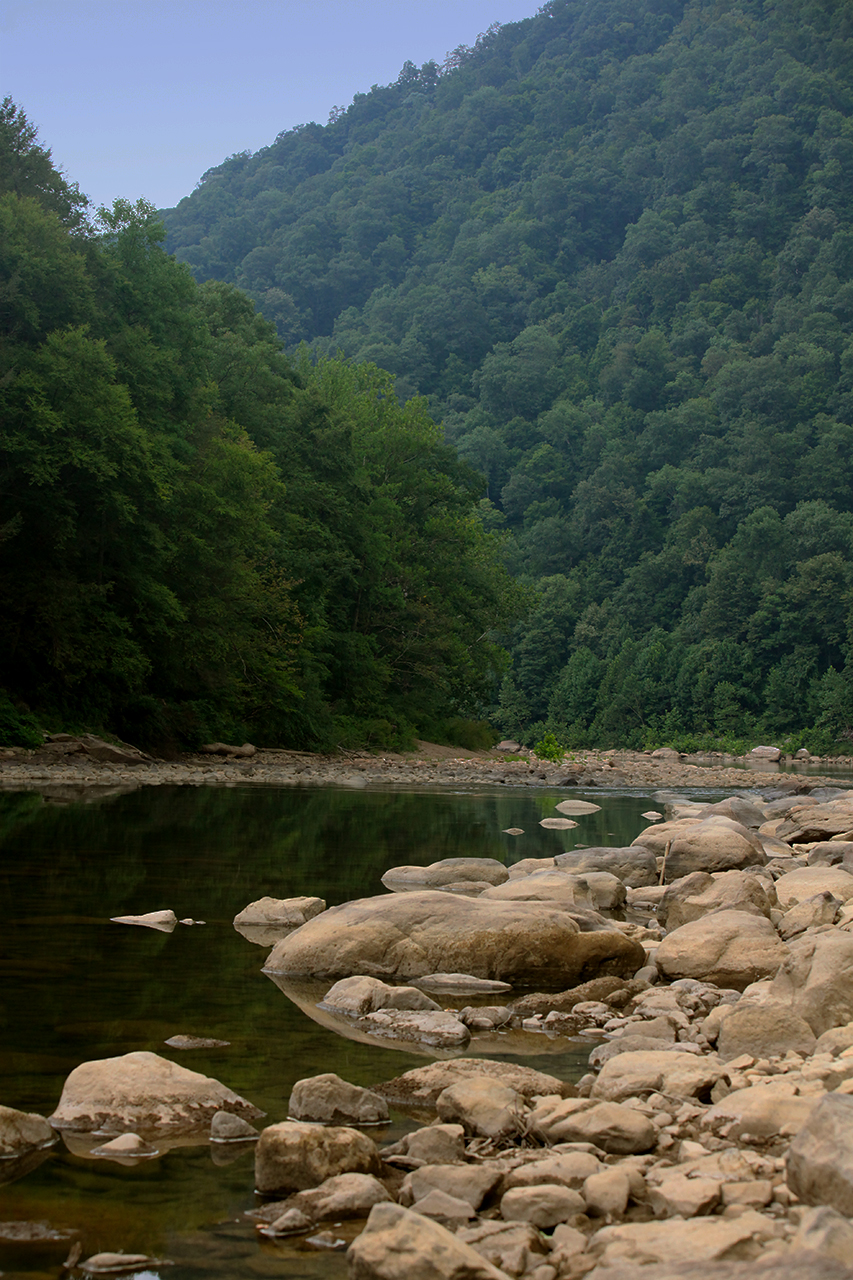
Cheat River

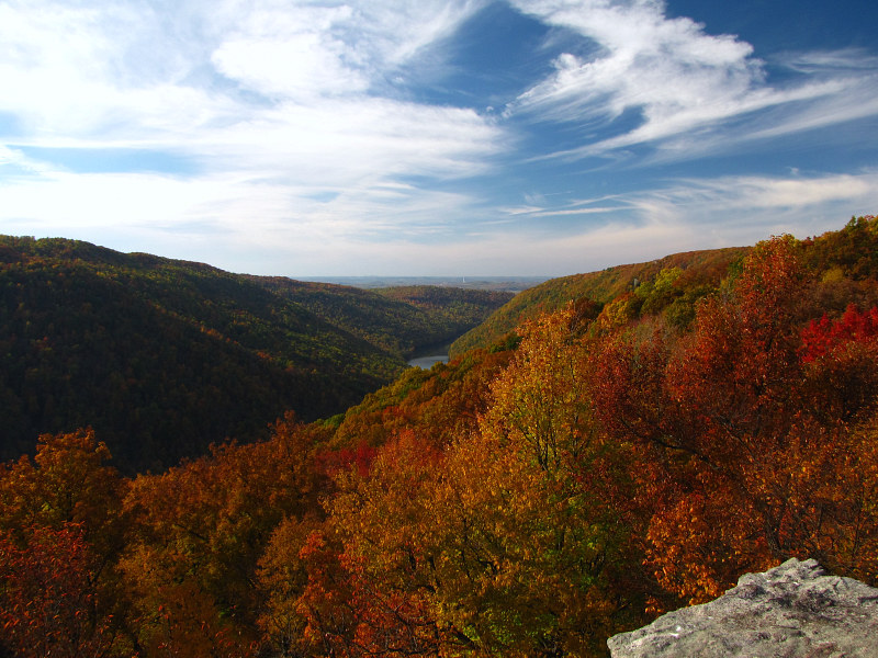
Lookin' West

Arthurdale Esso Station

All Good 2010 77
Raven Rock

Cheat River at Beaver Hole
Cheat River at Beaver Hole

Allgood view

Pedro view from behind after shearing

Another view

Under Rt. 26
Deckers Creek Upper Cascades

Cheat River, downstream from WV Route 26 bridge
Memorial Day @ Cheat River

Jenkinsburg Bridge

Jenkinsburg Bridge

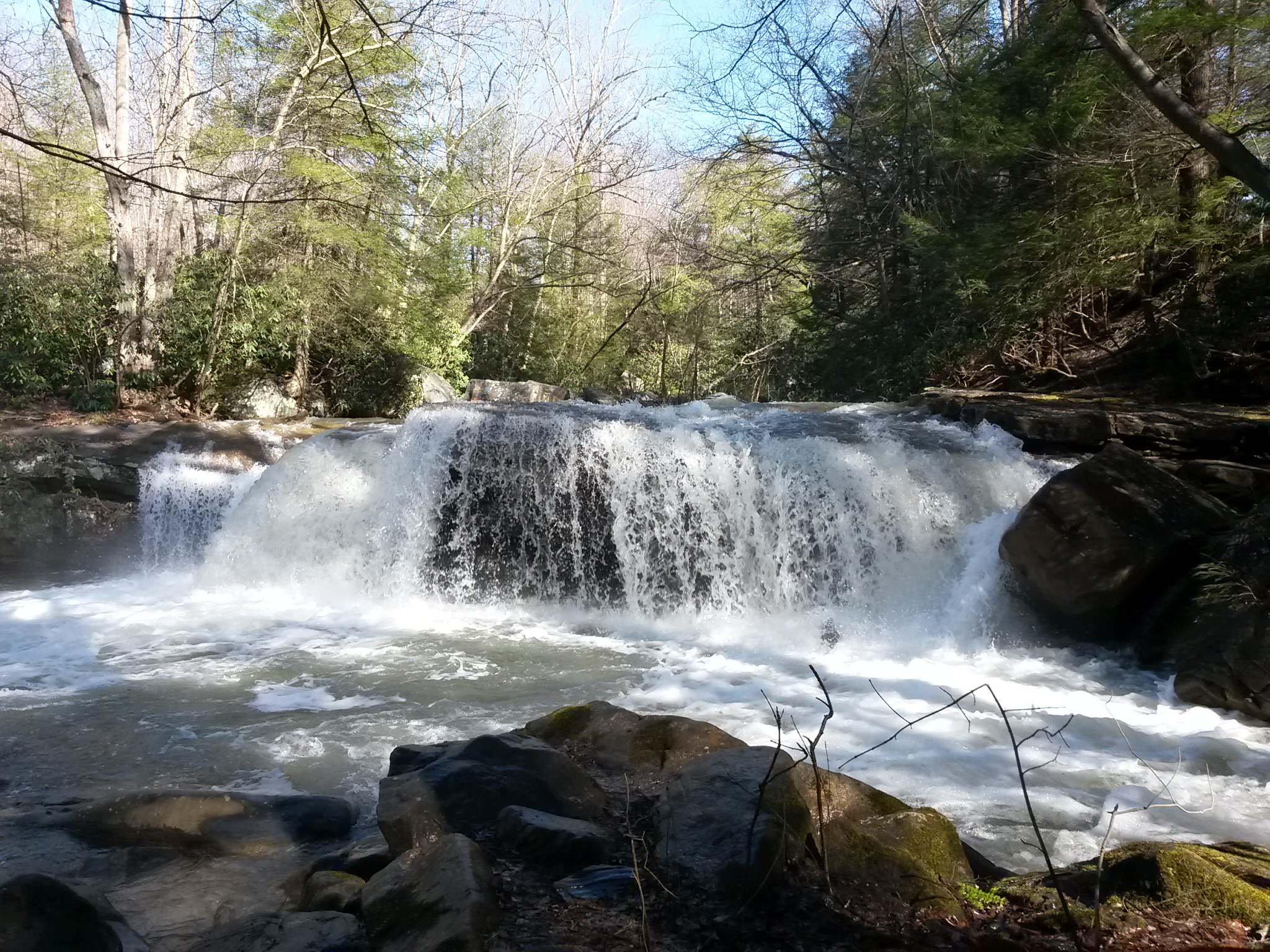
the falls of muddy creek

Down Deckers Creek

Hipsta Milkweed

Deckers Creek Waterfall

Heading Toward Winter

Forever Flowing

Arizona 2

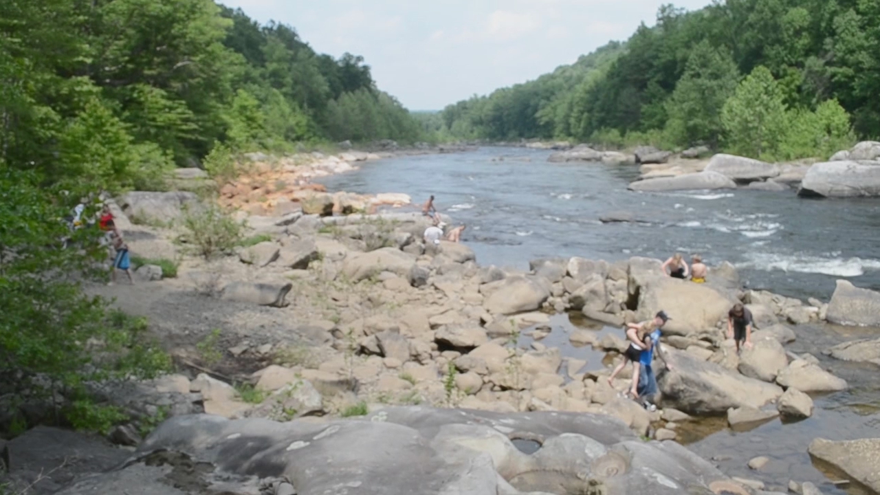
Fall trip down the Cheat

Cheat River from Snake Hill WMA

Big Run

Skull Mimetolith
Topographic Map of O Rd, Reedsville, WV, USA
Find elevation by address:

Places near O Rd, Reedsville, WV, USA:
Arthurdale
13565 N Mountaineer Hwy
5829 Kingwood Pike
Co Rte 27, Reedsville, WV, USA
Third
Independence Rd, Independence, WV, USA
447 Mountainview Rd
269 Mountainview Rd
79 Morgantown Ave, Newburg, WV, USA
Newburg
Independence Rd, Independence, WV, USA
Independence
35 Phillips Rd
8 Yorkshire Pl
3005 Fox Ln
3008 Fox Ln
Iron Town, Independence, WV, USA
2448 Grafton Rd
2257 Grafton Rd
9 Founders Way
Recent Searches:
- Elevation of 6 Rue Jules Ferry, Beausoleil, France
- Elevation of Sattva Horizon, 4JC6+G9P, Vinayak Nagar, Kattigenahalli, Bengaluru, Karnataka, India
- Elevation of Great Brook Sports, Gold Star Hwy, Groton, CT, USA
- Elevation of 10 Mountain Laurels Dr, Nashua, NH, USA
- Elevation of 16 Gilboa Ln, Nashua, NH, USA
- Elevation of Laurel Rd, Townsend, TN, USA
- Elevation of 3 Nestling Wood Dr, Long Valley, NJ, USA
- Elevation of Ilungu, Tanzania
- Elevation of Yellow Springs Road, Yellow Springs Rd, Chester Springs, PA, USA
- Elevation of Rēzekne Municipality, Latvia