Elevation of Independence Rd, Independence, WV, USA
Location: United States > West Virginia > Preston County > Third >
Longitude: -79.849702
Latitude: 39.4400145
Elevation: 393m / 1289feet
Barometric Pressure: 97KPa
Elevation Map:
Satellite Map:
Related Photos:
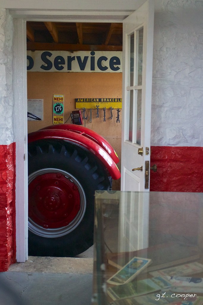
Arthurdale Esso Station
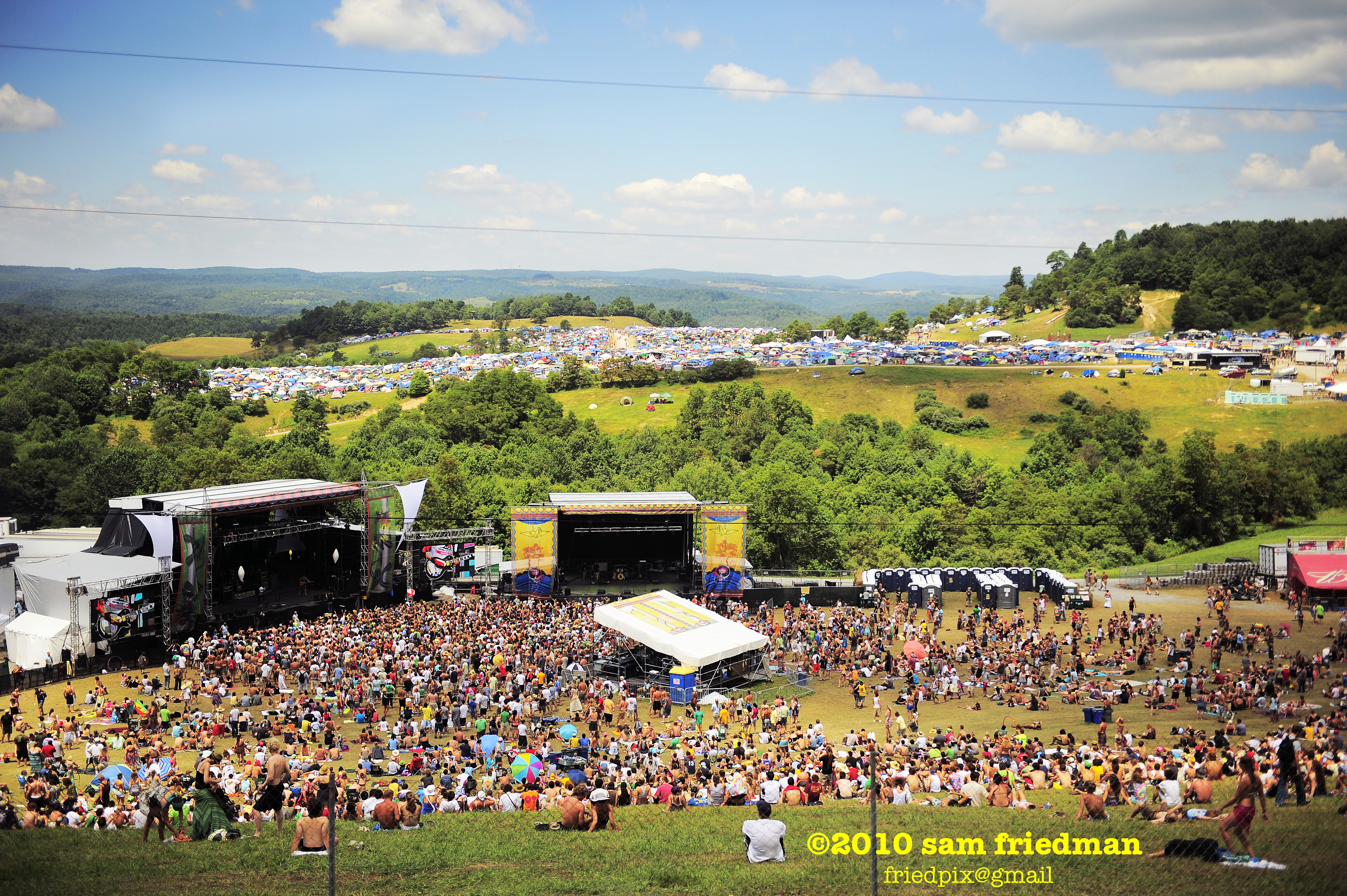
All Good 2010 77

WEST VIRGINIA : Cooper Rock

Another view
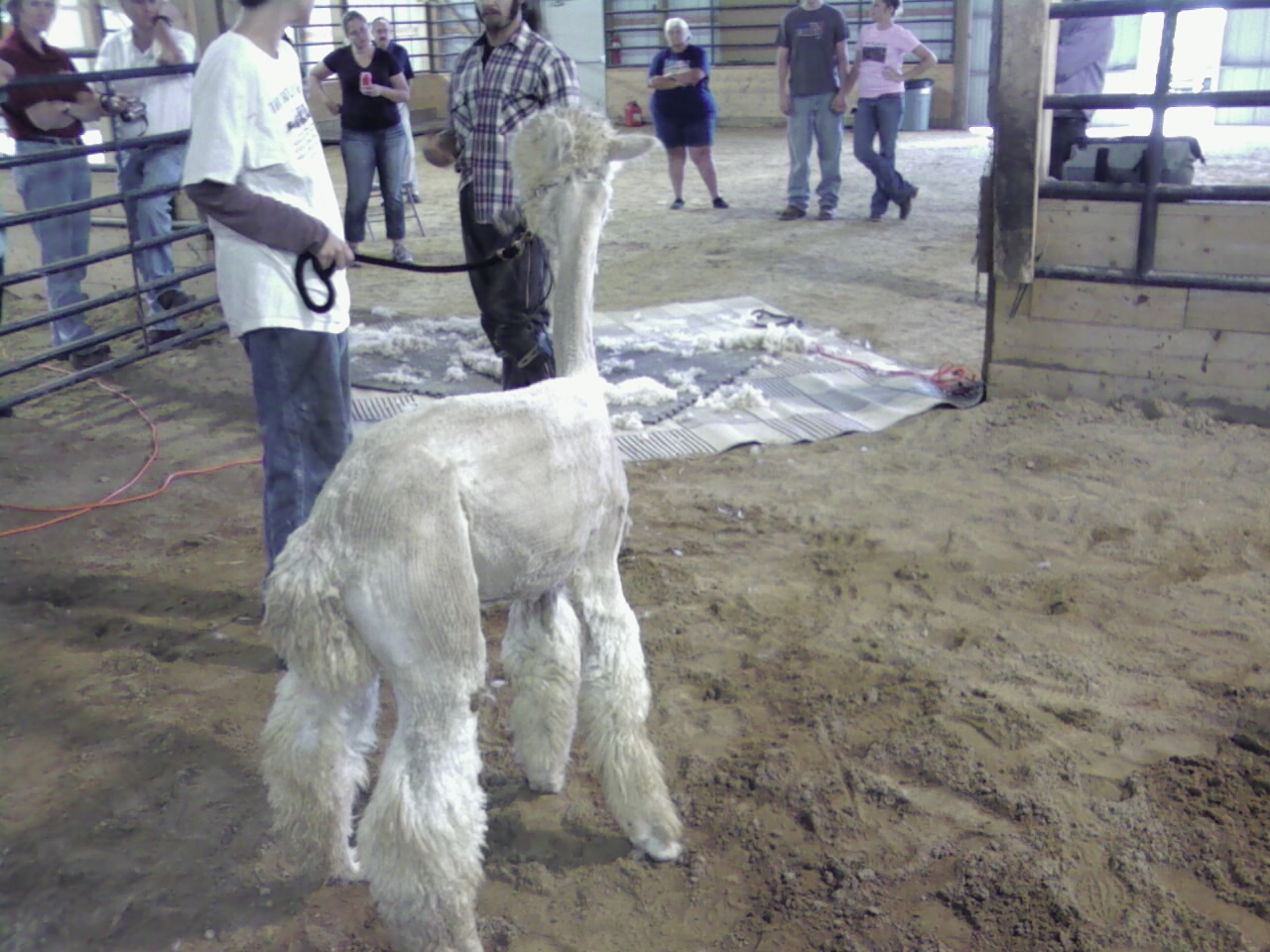
Pedro view from behind after shearing

Allgood view
Deckers Creek Trail
Down Deckers Creek
Summer 2012
Summer 2012
Summer 2012
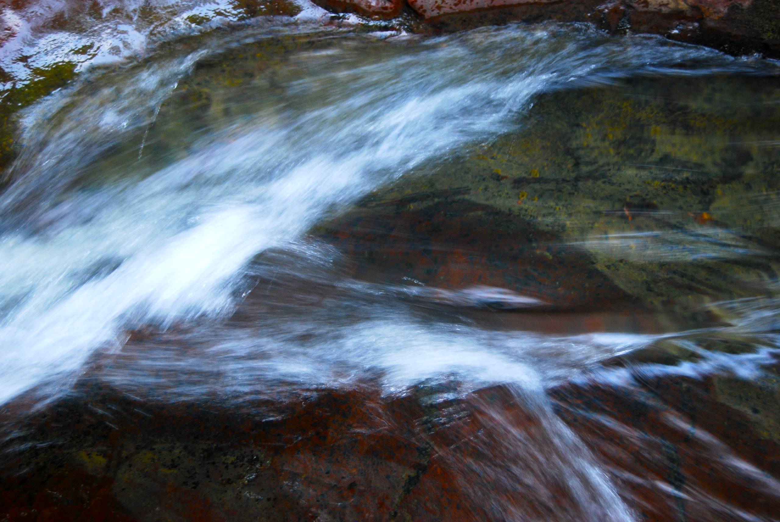
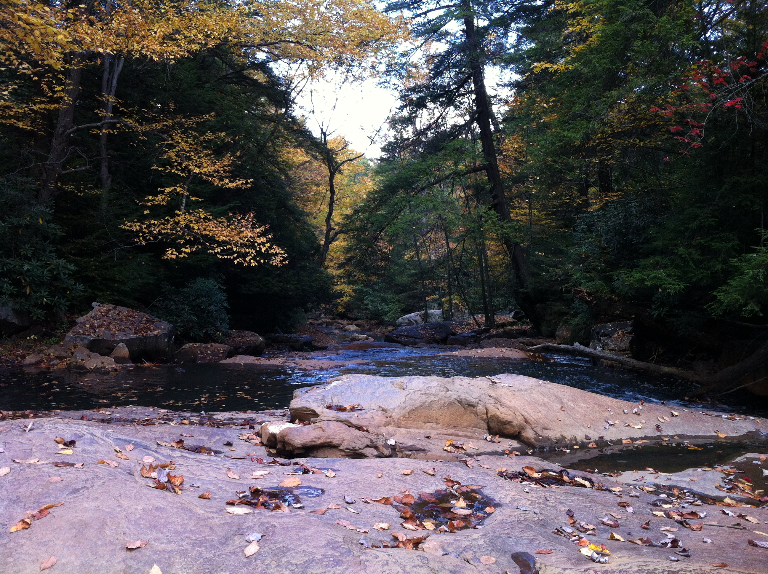
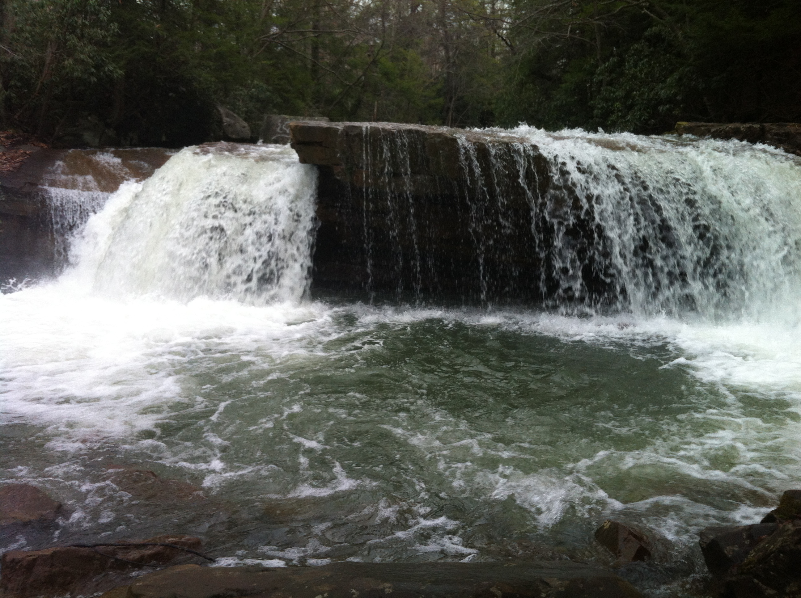
Deckers Creek Upper Cascades
Landscape Enlargements
Deckers Creek Trail, Morgantown, WV
Landscape Enlargements

10-8-12

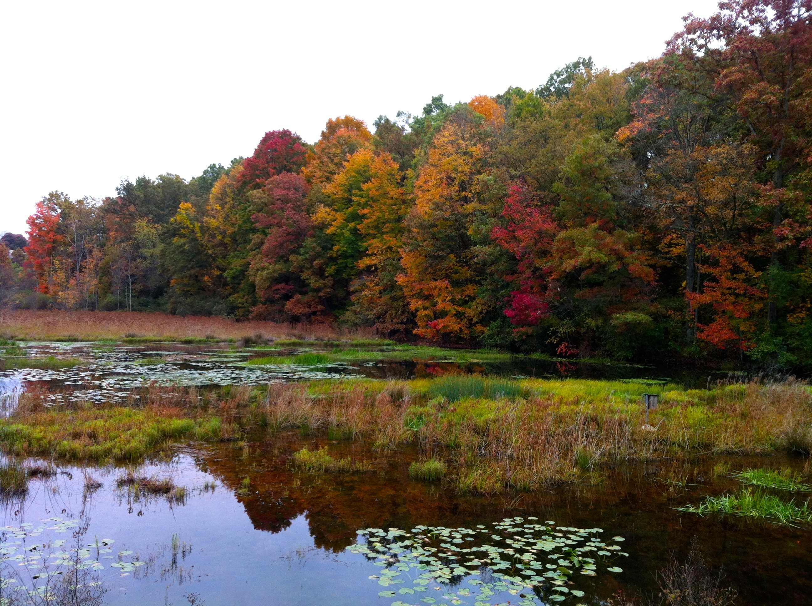
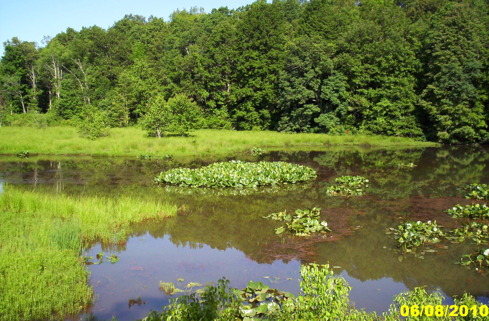
Fairfax Pond-Rehe Wildlife Management Area
Deckers Creek Trail 10
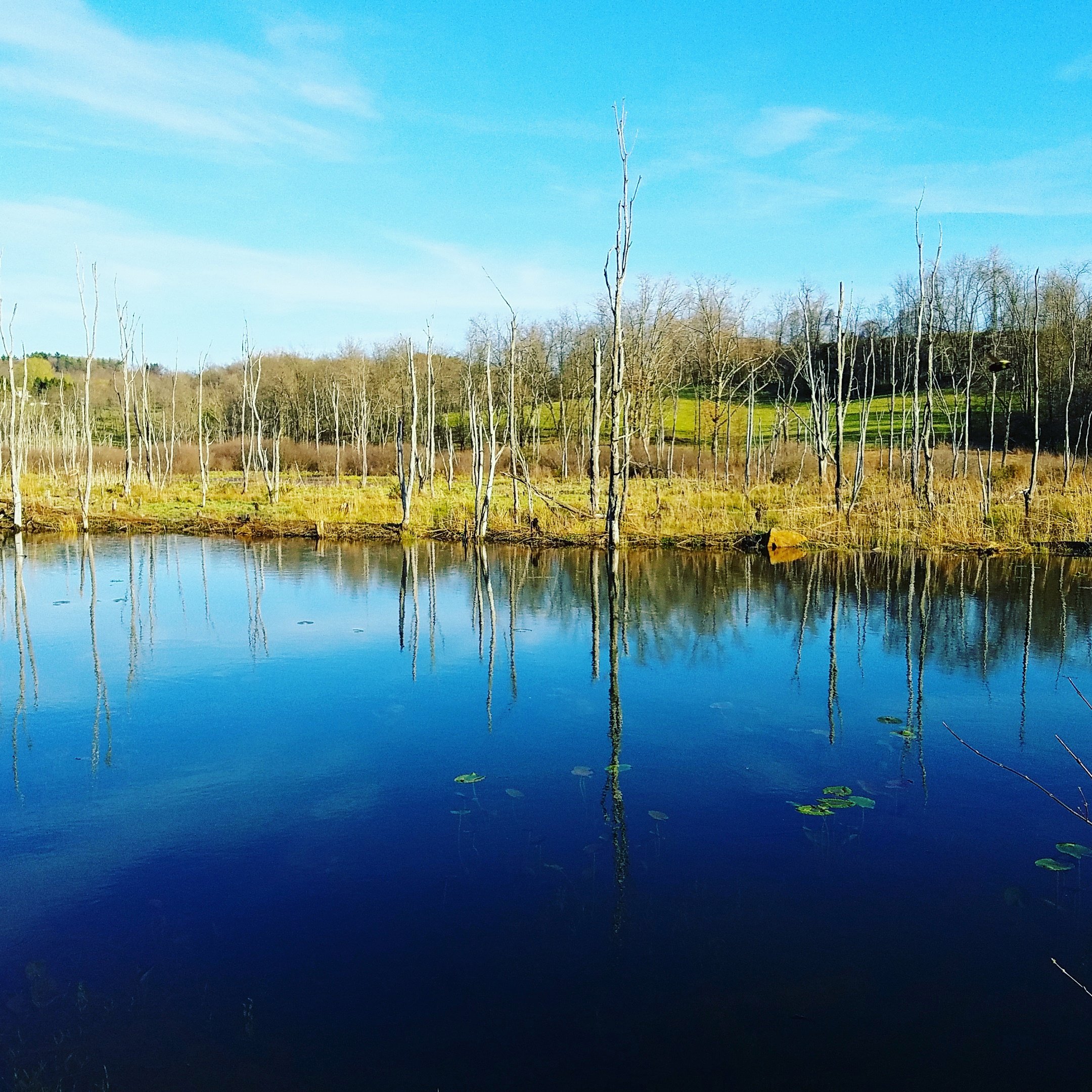
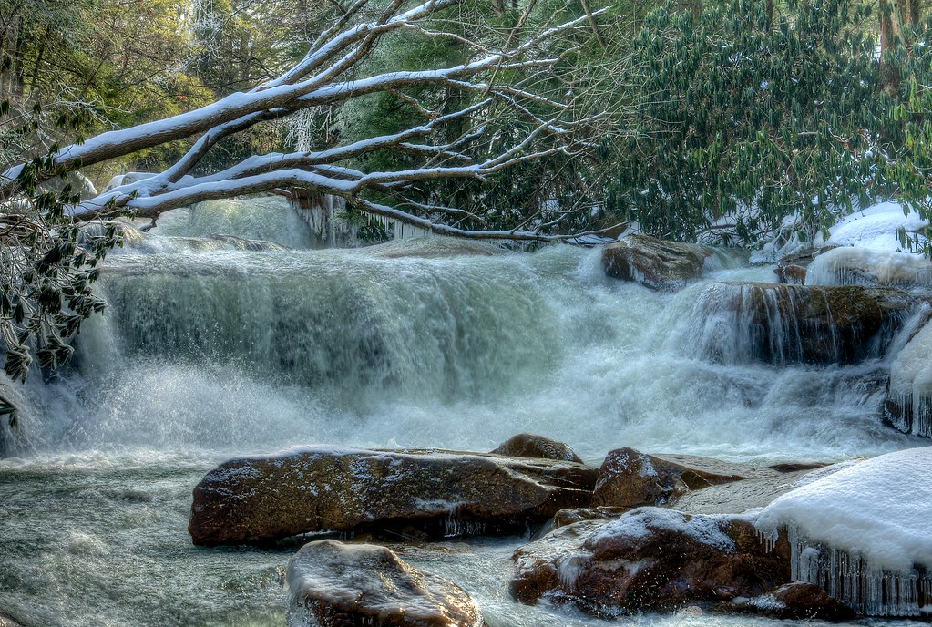
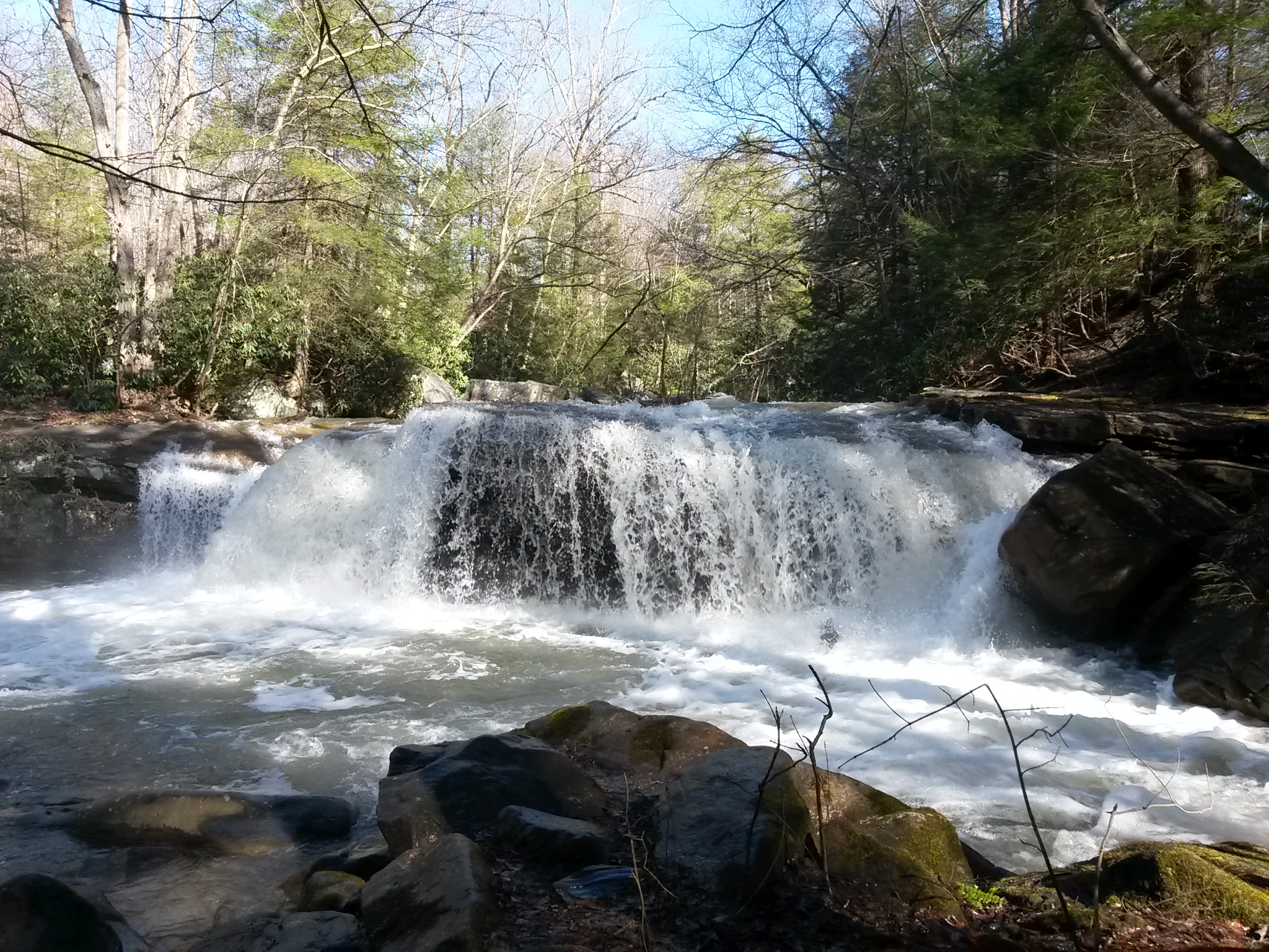
Winter Waterfall
Topographic Map of Independence Rd, Independence, WV, USA
Find elevation by address:

Places near Independence Rd, Independence, WV, USA:
Third
79 Morgantown Ave, Newburg, WV, USA
Independence Rd, Independence, WV, USA
Newburg
Independence
177 O Rd
Arthurdale
Iron Town, Independence, WV, USA
13565 N Mountaineer Hwy
5829 Kingwood Pike
3005 Fox Ln
Co Rte 27, Reedsville, WV, USA
3008 Fox Ln
8 Yorkshire Pl
447 Mountainview Rd
35 Phillips Rd
269 Mountainview Rd
2448 Grafton Rd
9 Founders Way
2257 Grafton Rd
Recent Searches:
- Elevation of Corso Fratelli Cairoli, 35, Macerata MC, Italy
- Elevation of Tallevast Rd, Sarasota, FL, USA
- Elevation of 4th St E, Sonoma, CA, USA
- Elevation of Black Hollow Rd, Pennsdale, PA, USA
- Elevation of Oakland Ave, Williamsport, PA, USA
- Elevation of Pedrógão Grande, Portugal
- Elevation of Klee Dr, Martinsburg, WV, USA
- Elevation of Via Roma, Pieranica CR, Italy
- Elevation of Tavkvetili Mountain, Georgia
- Elevation of Hartfords Bluff Cir, Mt Pleasant, SC, USA