Elevation of Northeast Somerset, ME, USA
Location: United States > Maine > Somerset County >
Longitude: -69.873296
Latitude: 45.5289489
Elevation: 373m / 1224feet
Barometric Pressure: 97KPa
Elevation Map:
Satellite Map:
Related Photos:
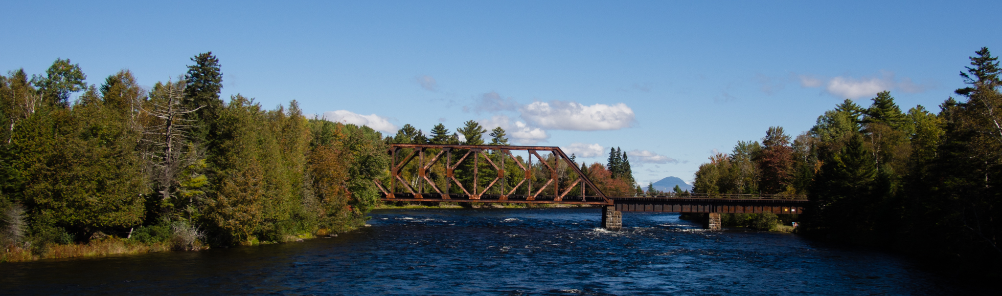
Mountains and Bridges
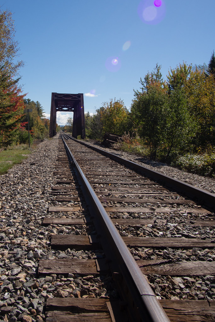
Down The Tracks
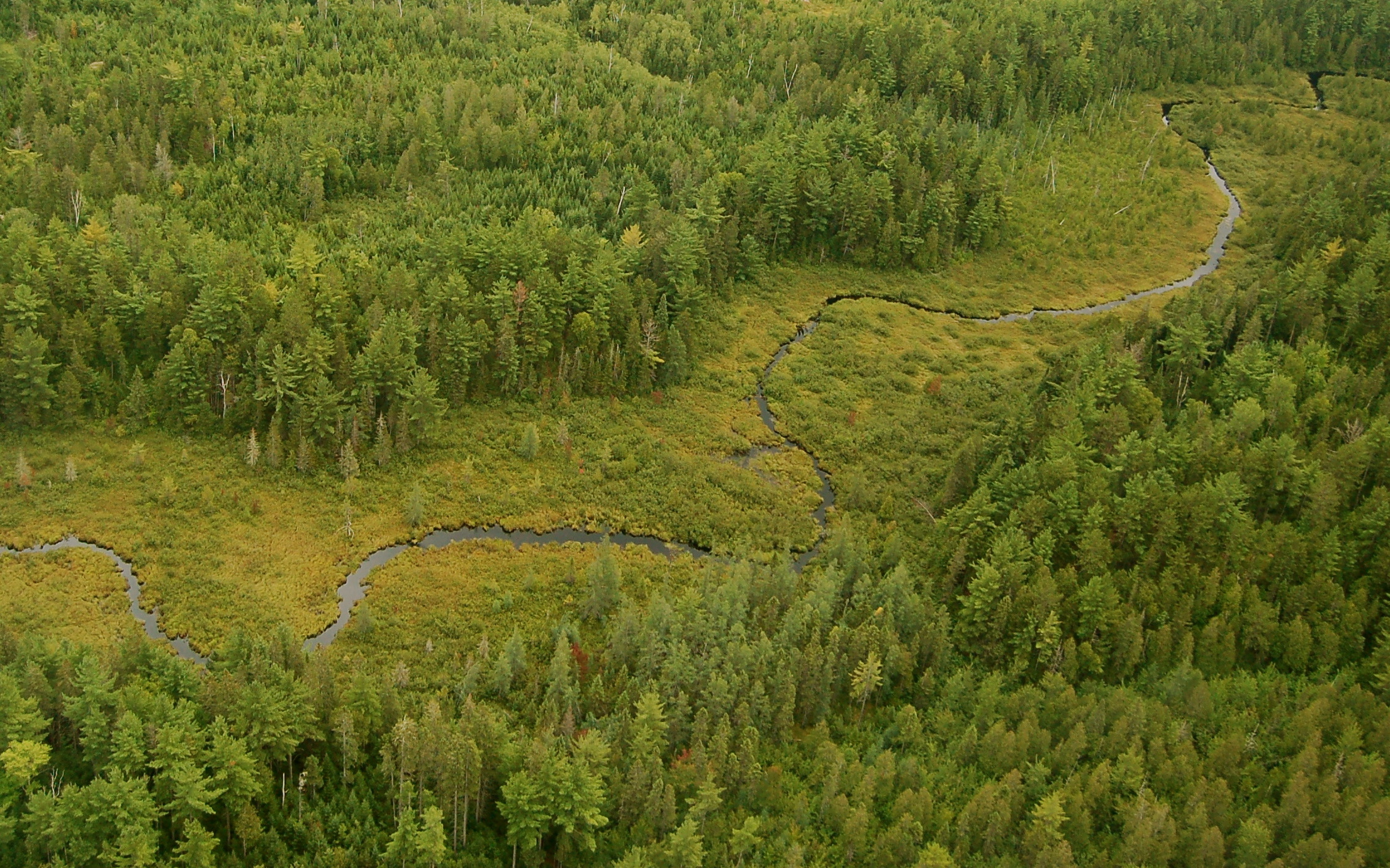
Carry Brook
Tracks Into Color
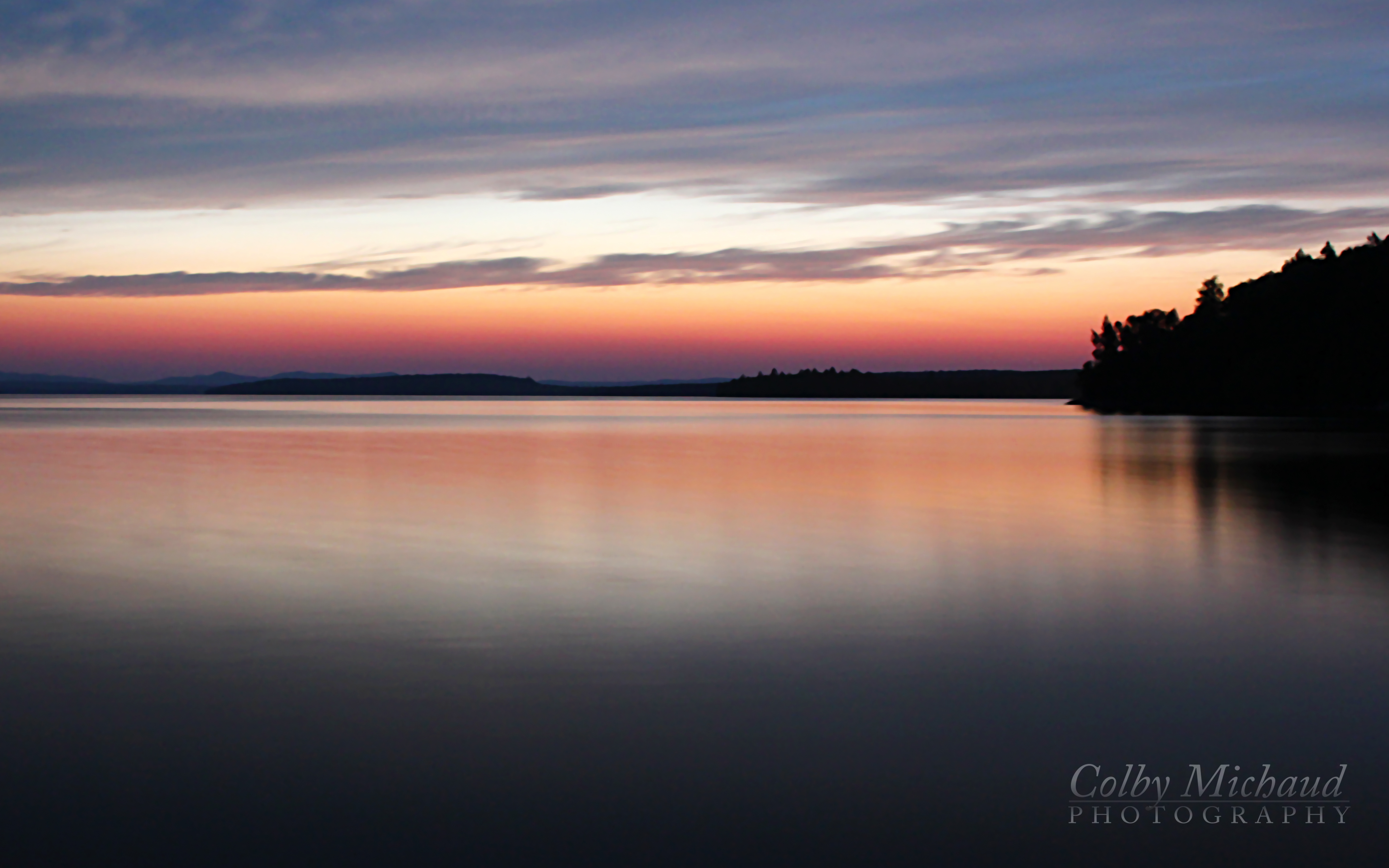
Brassua Lake
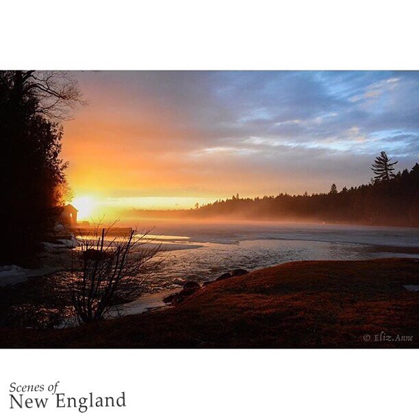
Congratulations!✨????✨ ???? @eliz.anne Your beautiful image on Moosehead Lake has been chosen for a feature in the
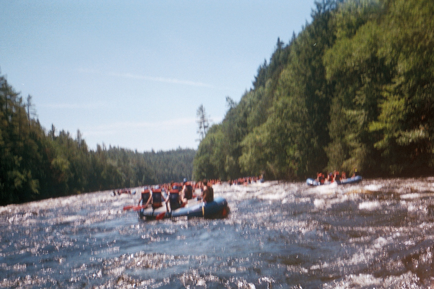
Other Rafts

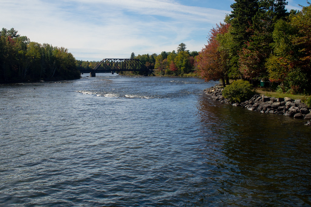
Watching the Waes
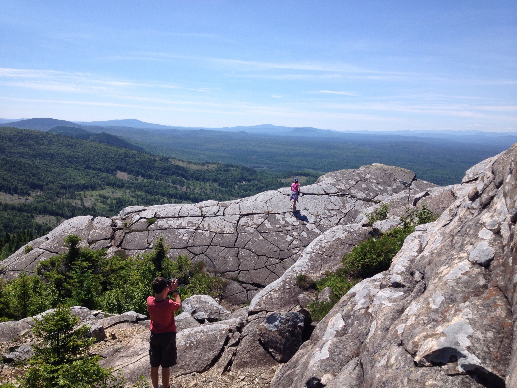
Eagle Rock

The calm before the storm...
Topographic Map of Northeast Somerset, ME, USA
Find elevation by address:

Places in Northeast Somerset, ME, USA:
Places near Northeast Somerset, ME, USA:
Little Magic Falls
Dead Stream Pond
Brassua Lake
Somerset County
Lake Moxie Rd, West Forks, ME, USA
281 The Birches Rd
Rockwood
West Forks
The Forks
Lake Parlin Lodge & Cabins
Long Pond
Coburn Mountain
46 Mayhew Manor Rd
Greenville
10 Cottage St
Baker Pond
Blair Hill Inn, Moosehead Lake
73 Nelson Ave
73 Nelson Ave
263 Main St
Recent Searches:
- Elevation of Woodland Oak Pl, Thousand Oaks, CA, USA
- Elevation of Brownsdale Rd, Renfrew, PA, USA
- Elevation of Corcoran Ln, Suffolk, VA, USA
- Elevation of Mamala II, Sariaya, Quezon, Philippines
- Elevation of Sarangdanda, Nepal
- Elevation of 7 Waterfall Way, Tomball, TX, USA
- Elevation of SW 57th Ave, Portland, OR, USA
- Elevation of Crocker Dr, Vacaville, CA, USA
- Elevation of Pu Ngaol Community Meeting Hall, HWHM+3X7, Krong Saen Monourom, Cambodia
- Elevation of Royal Ontario Museum, Queens Park, Toronto, ON M5S 2C6, Canada