Elevation of Baker Pond, Caratunk, ME, USA
Location: United States > Maine > Somerset County >
Longitude: -69.836933
Latitude: 45.2348829
Elevation: 325m / 1066feet
Barometric Pressure: 97KPa
Elevation Map:
Satellite Map:
Related Photos:
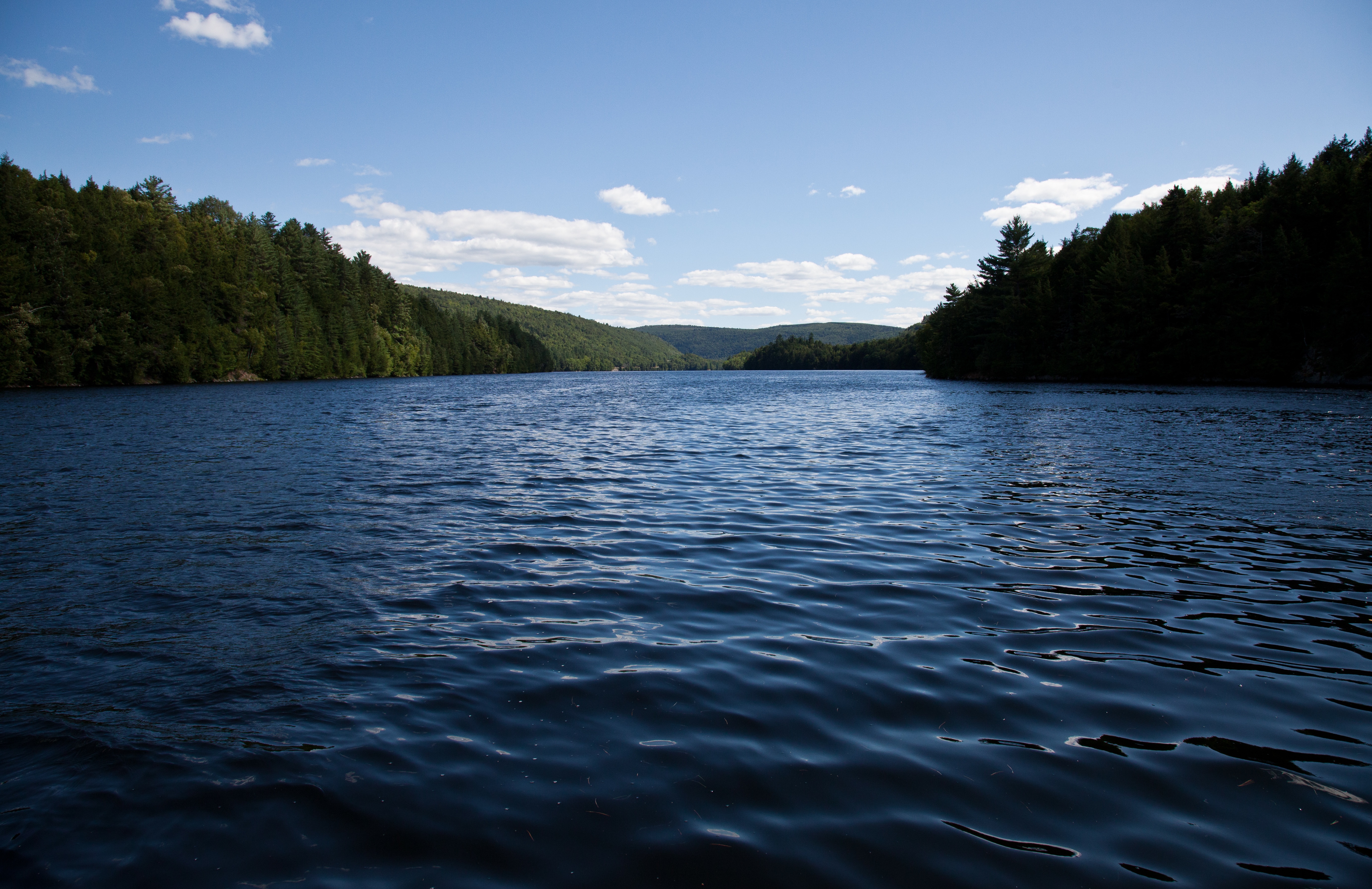
Wyman Lake
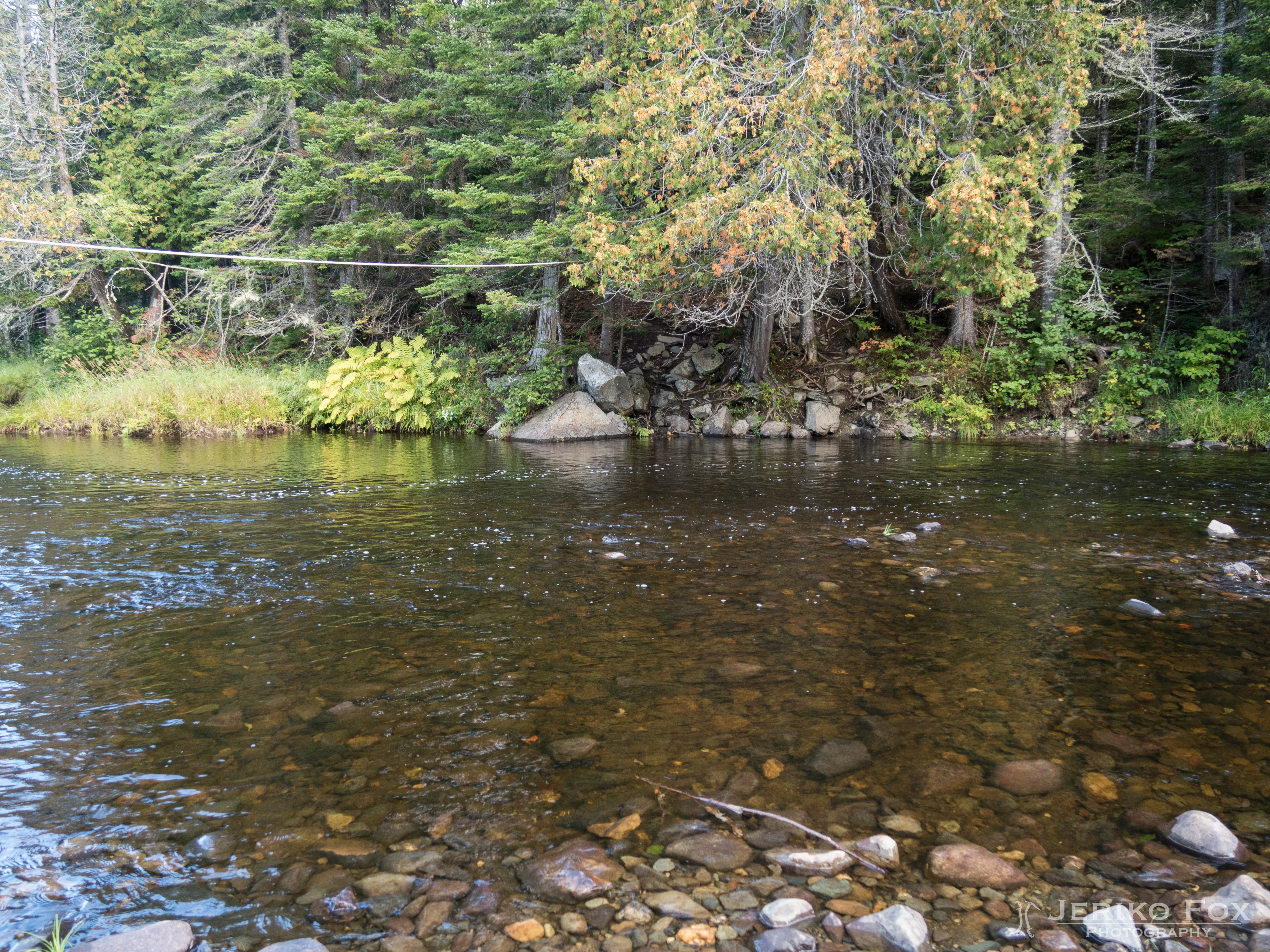
JFRM-2017-09-0923.jpg
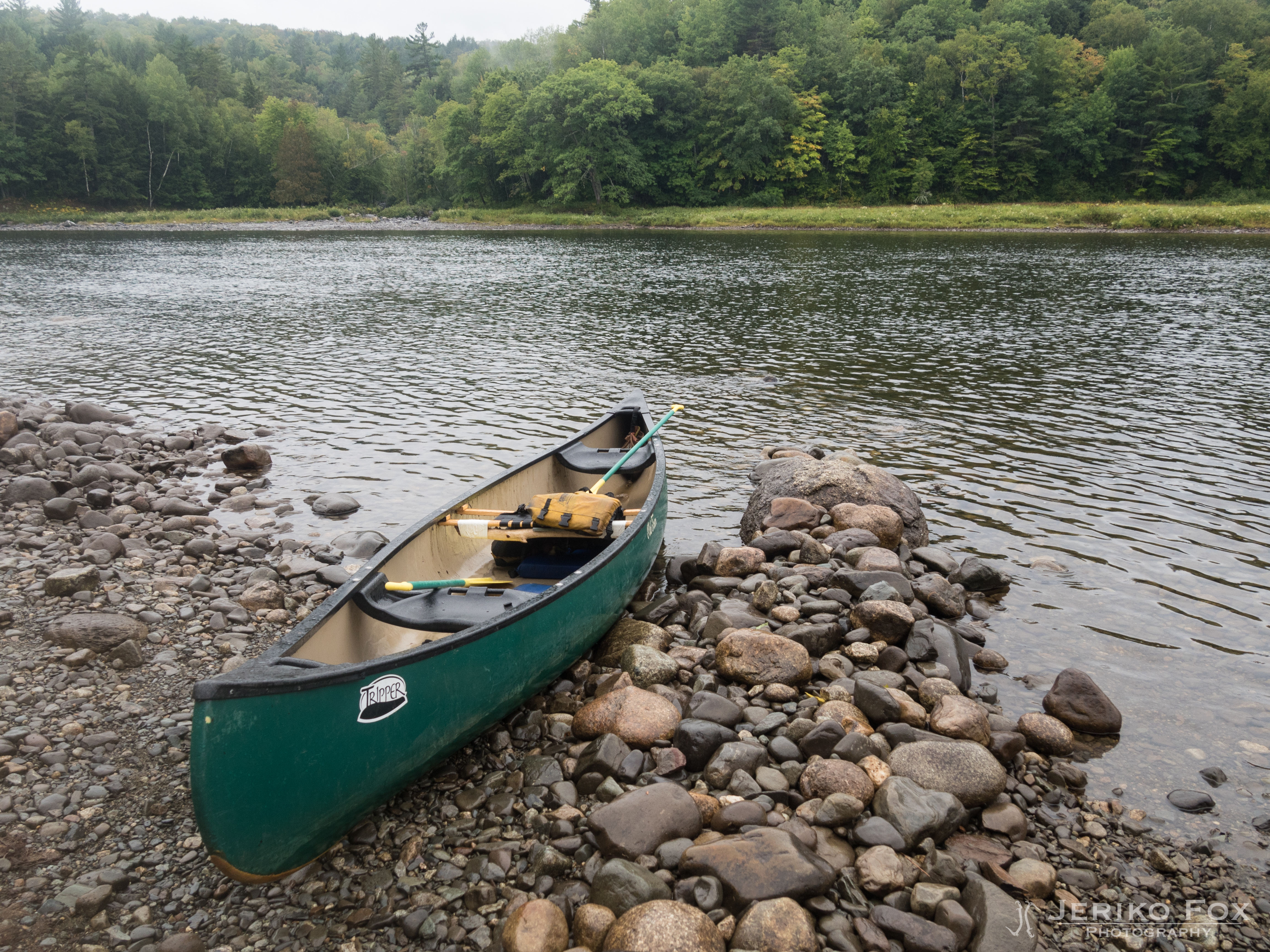
DSC_3639.jpg

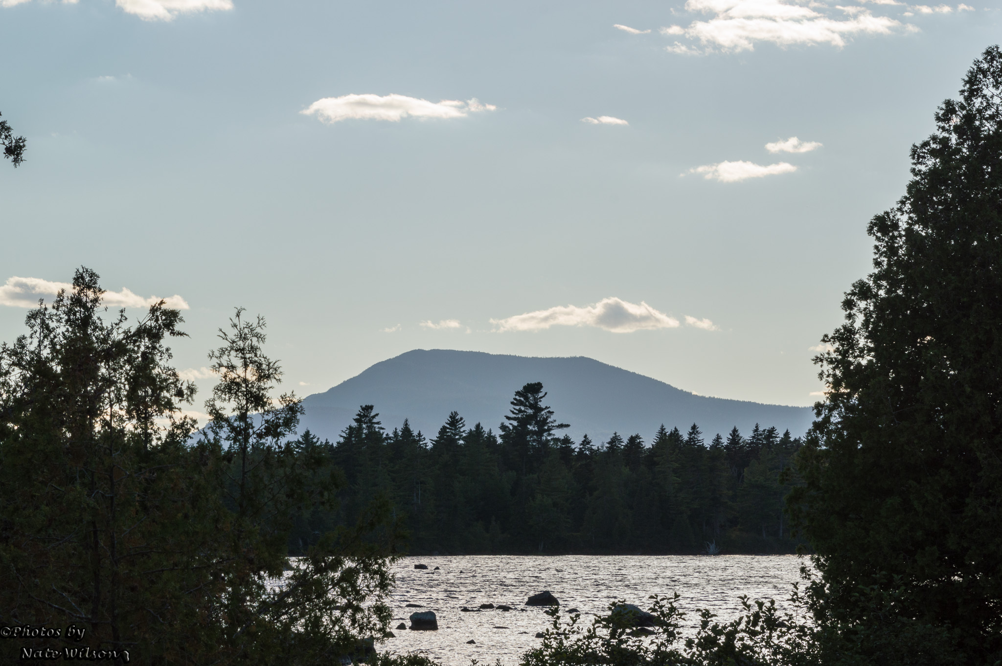
Been a lot of places on this beautiful planet, but this is my happy place. There's absolutely no where better. #pleasantpond #maine #love #paradise #family

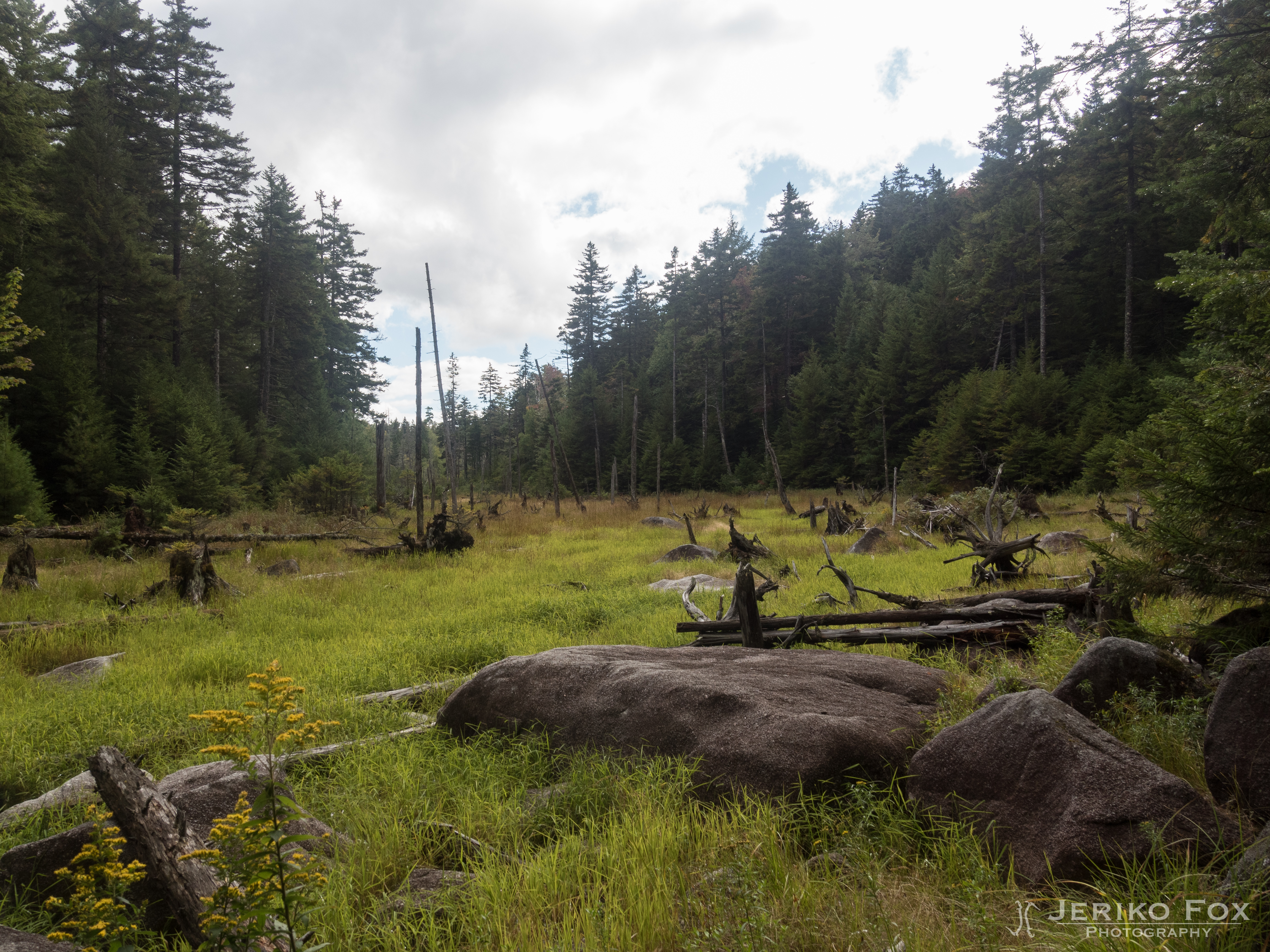
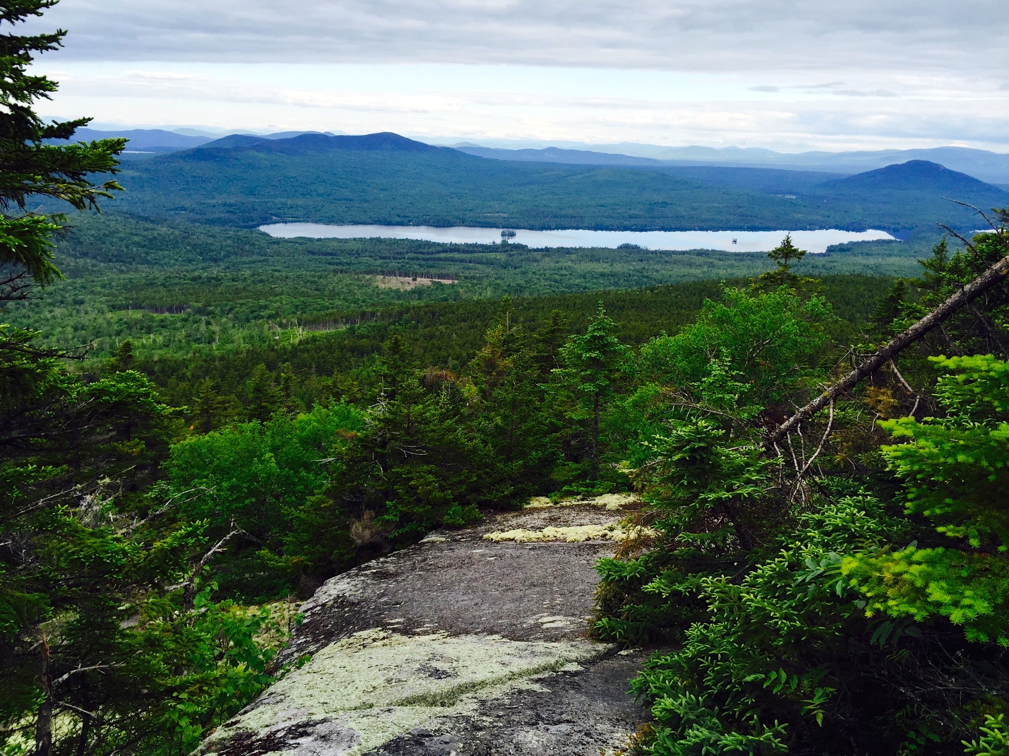
Upper Moxie Falls

Wyman Lake
JFRM-2017-09-0928.jpg

JFRM-2017-09-0927.jpg

Wyman Lake
JFRM-2017-09-0954.jpg

JFRM-2017-09-0940-Pano.jpg
Caratunk to HY 15 (3)
Been a lot of places on...
Topographic Map of Baker Pond, Caratunk, ME, USA
Find elevation by address:

Places near Baker Pond, Caratunk, ME, USA:
Lake Moxie Rd, West Forks, ME, USA
The Forks
12 Mayfield Rd
Moscow
Main St, Bingham, ME, USA
Bingham
Bingham
241 Main St
Main Street
21 Village St, Bingham, ME, USA
Little Magic Falls
Dead Stream Pond
West Forks
Brighton
Solon Brighton
33 Kingsbury Rd
Northeast Somerset
46 Mayhew Manor Rd
Greenville
10 Cottage St
Recent Searches:
- Elevation of N, Mt Pleasant, UT, USA
- Elevation of 6 Rue Jules Ferry, Beausoleil, France
- Elevation of Sattva Horizon, 4JC6+G9P, Vinayak Nagar, Kattigenahalli, Bengaluru, Karnataka, India
- Elevation of Great Brook Sports, Gold Star Hwy, Groton, CT, USA
- Elevation of 10 Mountain Laurels Dr, Nashua, NH, USA
- Elevation of 16 Gilboa Ln, Nashua, NH, USA
- Elevation of Laurel Rd, Townsend, TN, USA
- Elevation of 3 Nestling Wood Dr, Long Valley, NJ, USA
- Elevation of Ilungu, Tanzania
- Elevation of Yellow Springs Road, Yellow Springs Rd, Chester Springs, PA, USA