Elevation of North Sterling Reservoir, Colorado, USA
Location: United States > Colorado > Logan County > Sterling >
Longitude: -103.28655
Latitude: 40.7734889
Elevation: 1240m / 4068feet
Barometric Pressure: 87KPa
Elevation Map:
Satellite Map:
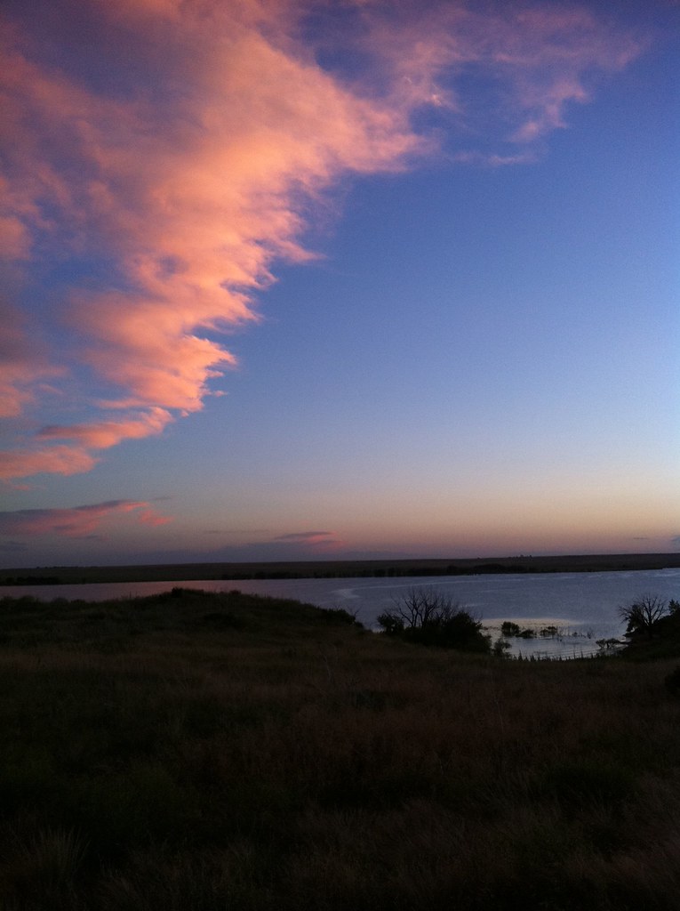
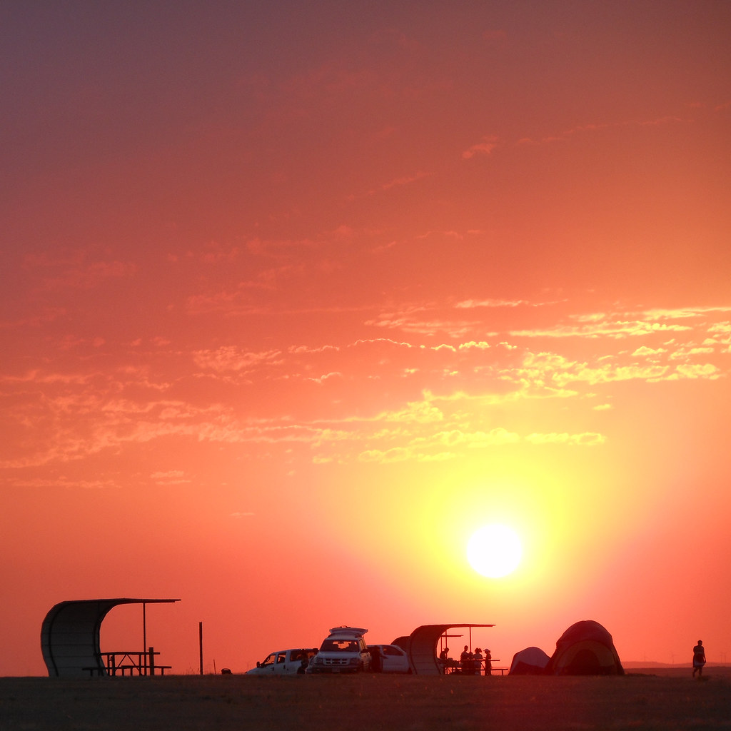
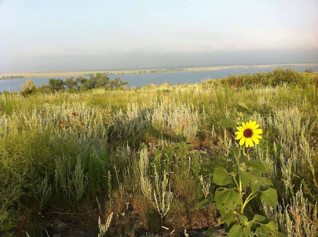
Related Photos:

Logan County, Colorado, intersection of LCR32 and LCR 33, NW of Sterling (40°39'11" N 103°16'39" W) - PLDL6869

Camera Roll-88

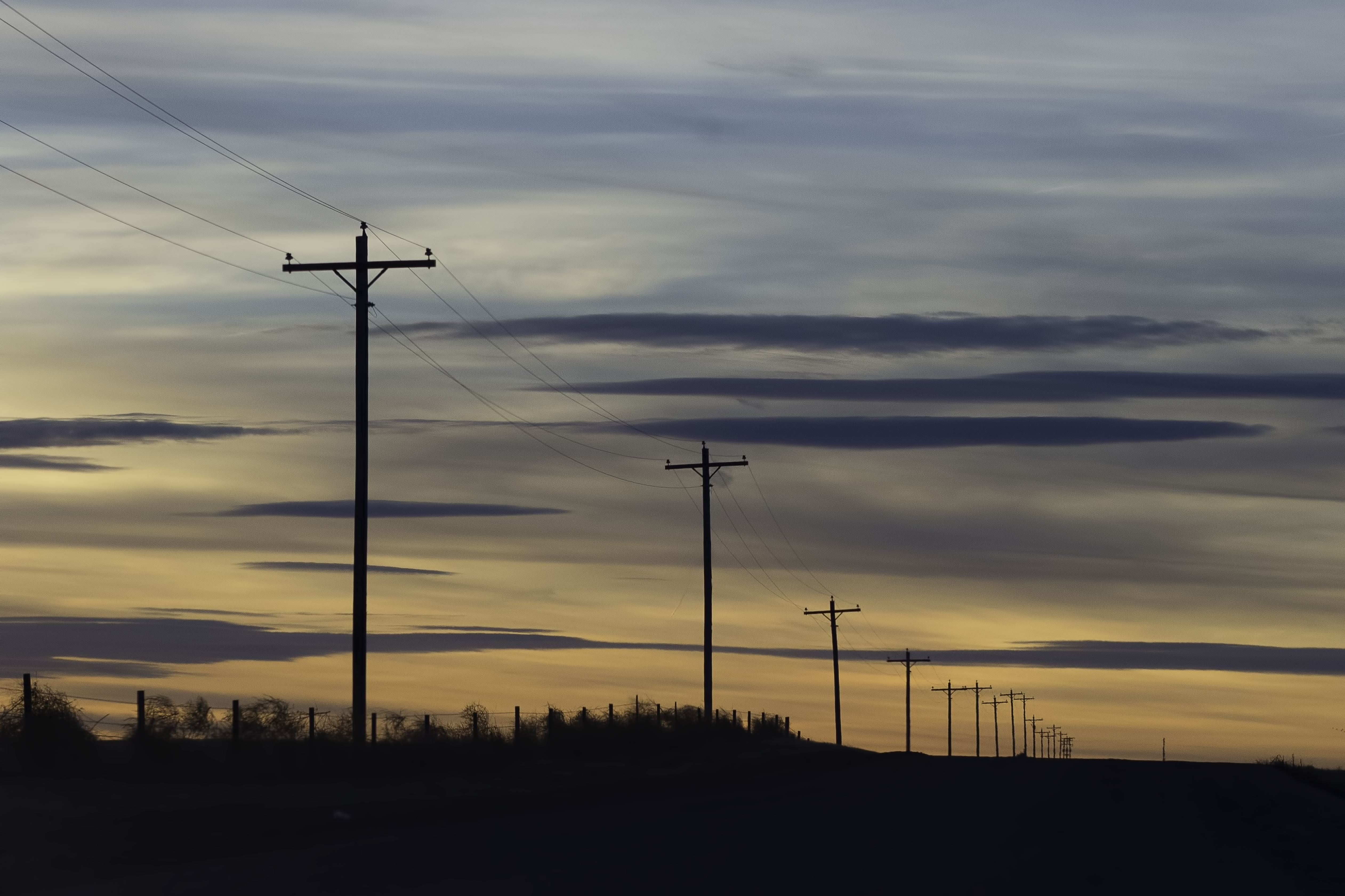
The sunrise on 2012 Bike To Work Day
Camera Roll-64
couple hundred miles away
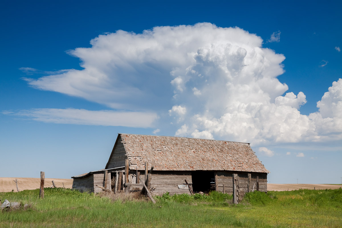
Abandoned Afternoon
Camera Roll-91
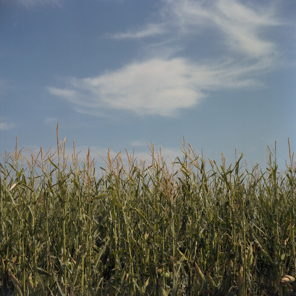
Sky, Clouds and Corn - Sterling, CO
Logan County, Colorado, CR 38, W of CR 37, NNW of Sterling, 40°42'8" N 103°13'50" W - PLDL6636
Camera Roll-92
Topographic Map of North Sterling Reservoir, Colorado, USA
Find elevation by address:

Places near North Sterling Reservoir, Colorado, USA:
Padroni
Main St, Padroni, CO, USA
Co Rd 46, Sterling, CO, USA
Sterling, CO, USA
447 Plainview Ave
12456 Co Rd 37
312 Hereford Ave
Sterling
25 E Chestnut St
615 Fairhurst St
2500 E Chestnut St
Co Rd 22, Sterling, CO, USA
Iliff
Atwood
Co Rd, Sterling, CO, USA
Co Rd 11, Merino, CO, USA
Merino
Logan County
Prewitt Reservoir
39811 Co Rd 157
Recent Searches:
- Elevation of Corso Fratelli Cairoli, 35, Macerata MC, Italy
- Elevation of Tallevast Rd, Sarasota, FL, USA
- Elevation of 4th St E, Sonoma, CA, USA
- Elevation of Black Hollow Rd, Pennsdale, PA, USA
- Elevation of Oakland Ave, Williamsport, PA, USA
- Elevation of Pedrógão Grande, Portugal
- Elevation of Klee Dr, Martinsburg, WV, USA
- Elevation of Via Roma, Pieranica CR, Italy
- Elevation of Tavkvetili Mountain, Georgia
- Elevation of Hartfords Bluff Cir, Mt Pleasant, SC, USA