Elevation of Iliff, CO, USA
Location: United States > Colorado > Logan County >
Longitude: -103.06658
Latitude: 40.759156
Elevation: 1169m / 3835feet
Barometric Pressure: 88KPa
Elevation Map:
Satellite Map:
Related Photos:
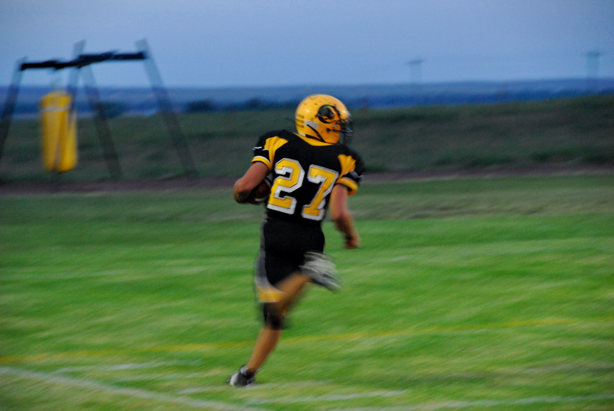
Derek Weingardt

Landscape_090311_LR-3.jpg
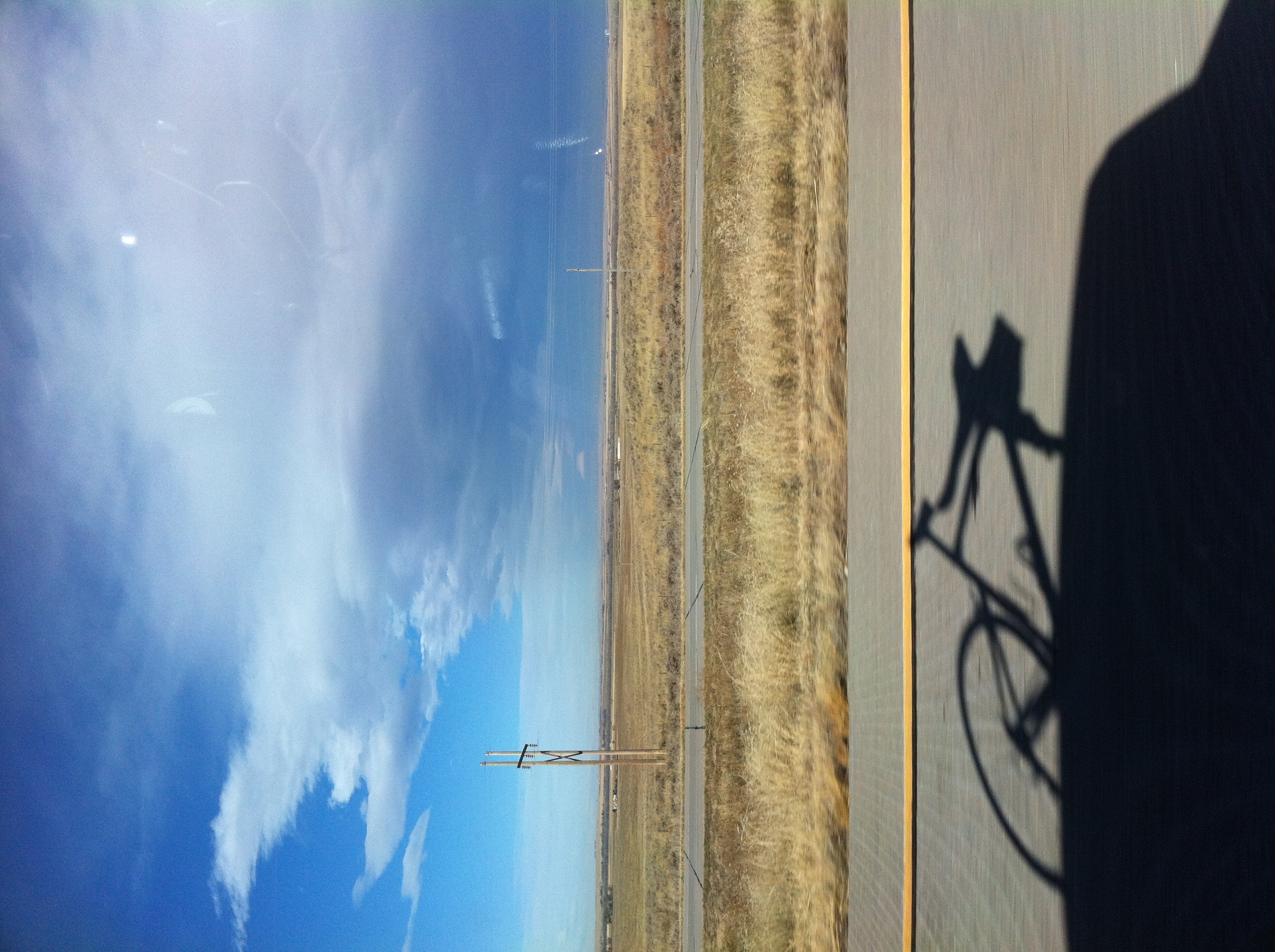
Interstate 76 in Colorado
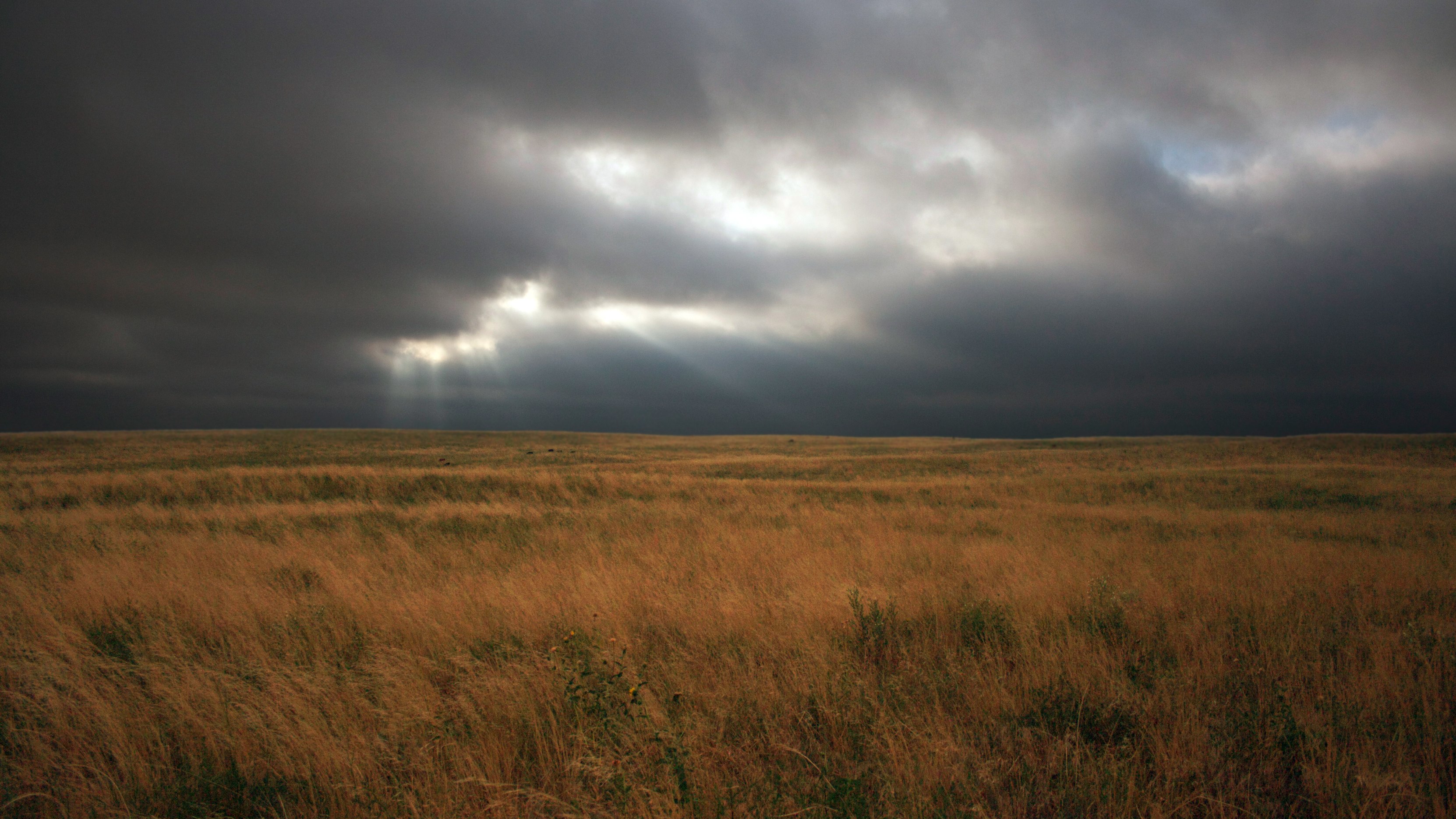
Stormy Pasture

Landscape_090311_LR-4.jpg

Cow Pasture

Truck_090311_LR-72.jpg

Truck_090311_LR-71.jpg

Landscape_090311_LR-5.jpg

Truck_090311_LR-67.jpg

Truck_090311_LR-69.jpg

Truck_090311_LR-68.jpg

Landscape_090311_LR-2.jpg
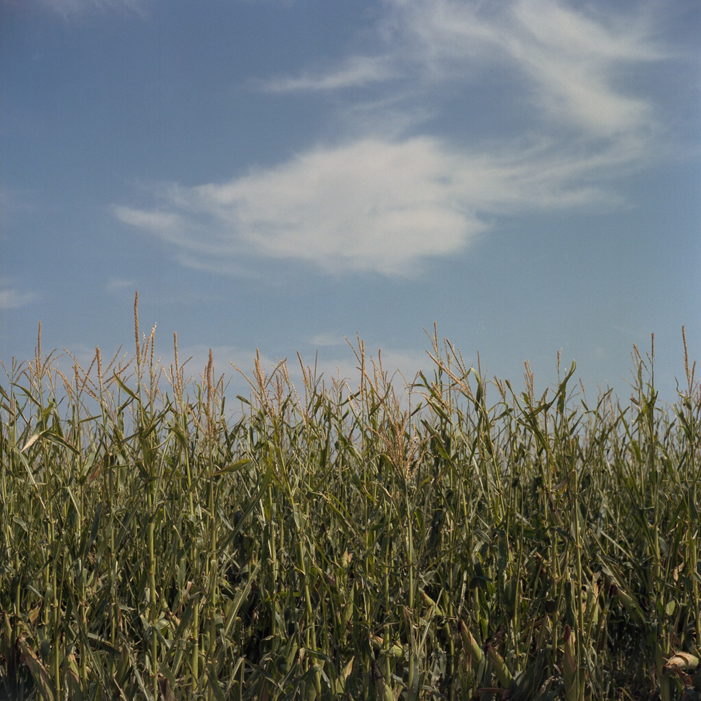
Sky, Clouds and Corn - Sterling, CO
Topographic Map of Iliff, CO, USA
Find elevation by address:

Places in Iliff, CO, USA:
Places near Iliff, CO, USA:
Logan County
Co Rd 46, Sterling, CO, USA
Main St, Padroni, CO, USA
Padroni
2500 E Chestnut St
447 Plainview Ave
312 Hereford Ave
25 E Chestnut St
Sterling
Sterling, CO, USA
615 Fairhurst St
North Sterling Reservoir
12456 Co Rd 37
Fleming
E Weston St, Fleming, CO, USA
Co Rd, Sterling, CO, USA
Atwood
Co Rd 22, Sterling, CO, USA
Merino
Co Rd 12, Haxtun, CO, USA
Recent Searches:
- Elevation of Elwyn Dr, Roanoke Rapids, NC, USA
- Elevation of Congressional Dr, Stevensville, MD, USA
- Elevation of Bellview Rd, McLean, VA, USA
- Elevation of Stage Island Rd, Chatham, MA, USA
- Elevation of Shibuya Scramble Crossing, 21 Udagawacho, Shibuya City, Tokyo -, Japan
- Elevation of Jadagoniai, Kaunas District Municipality, Lithuania
- Elevation of Pagonija rock, Kranto 7-oji g. 8"N, Kaunas, Lithuania
- Elevation of Co Rd 87, Jamestown, CO, USA
- Elevation of Tenjo, Cundinamarca, Colombia
- Elevation of Côte-des-Neiges, Montreal, QC H4A 3J6, Canada