Elevation of North Carolina Hwy 58, Trenton, NC, USA
Location: United States > North Carolina > Jones County > 3, Trenton > Trenton >
Longitude: -77.319186
Latitude: 35.035214
Elevation: 12m / 39feet
Barometric Pressure: 101KPa
Elevation Map:
Satellite Map:
Related Photos:
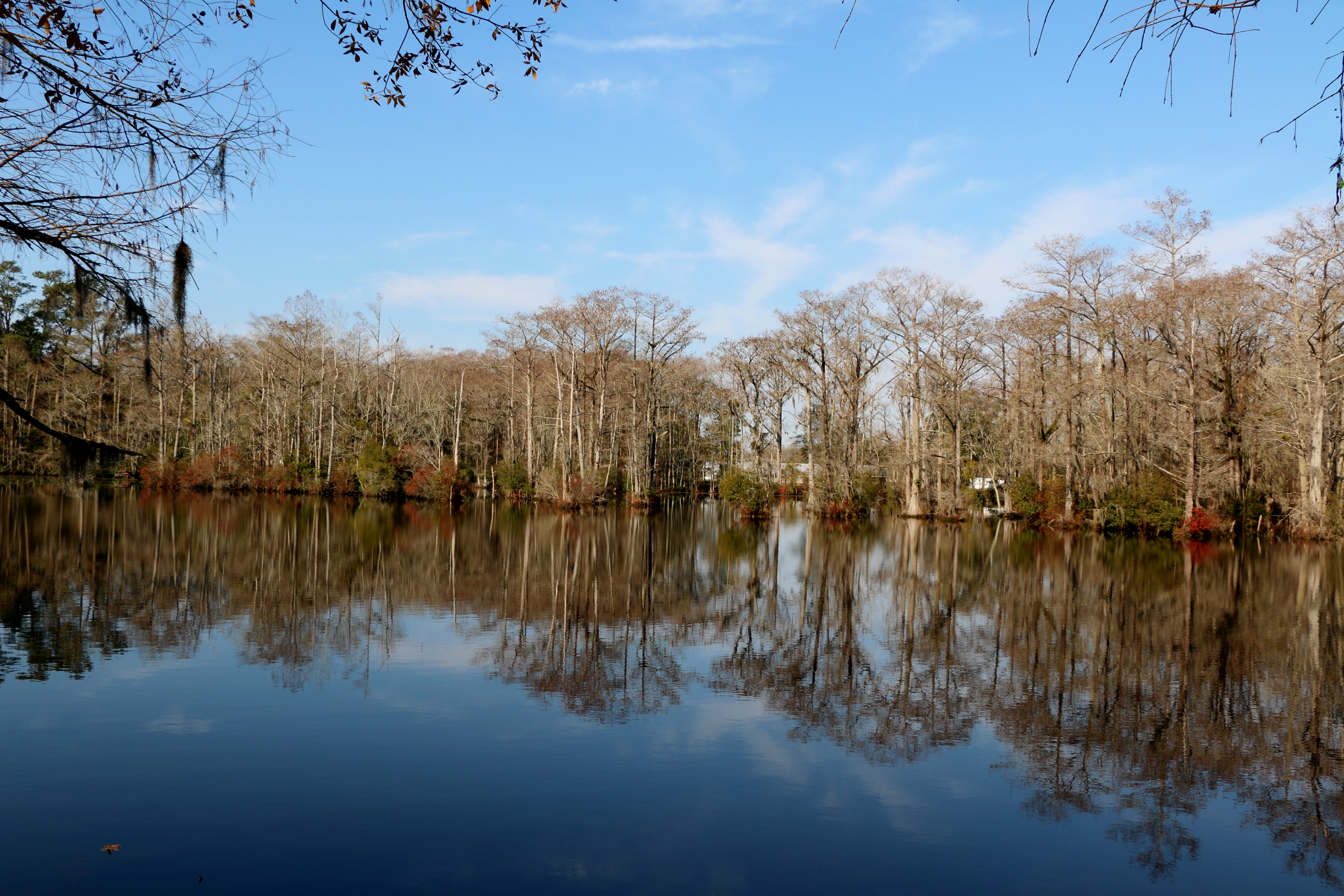
Brocks Mill Pond
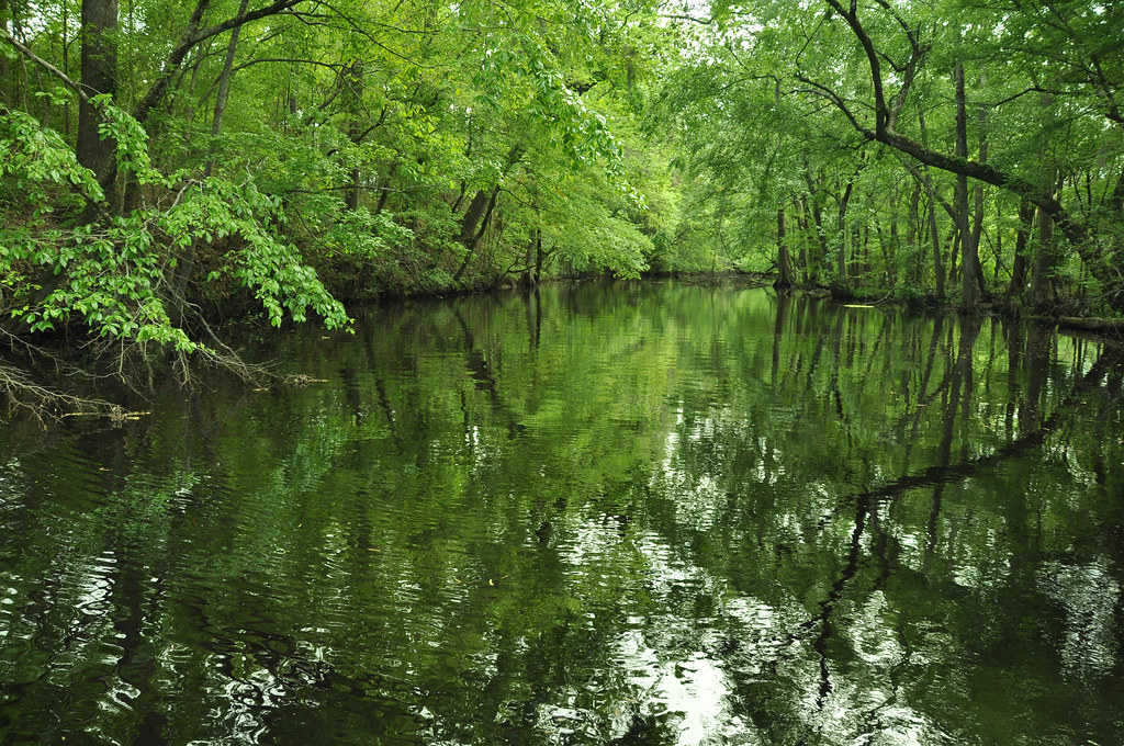
Creek flowing into Trent River
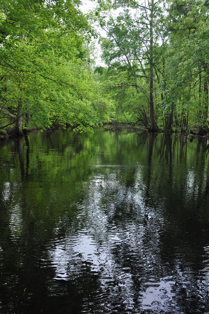
Creek flowing into Trent River
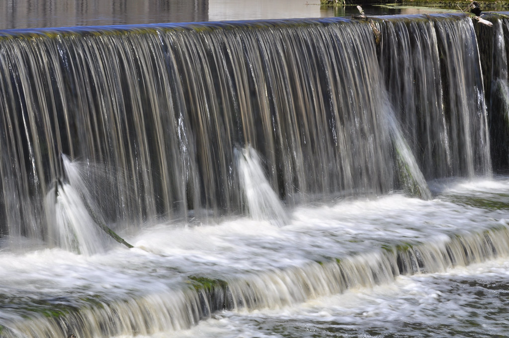
Brock's Mill Pond
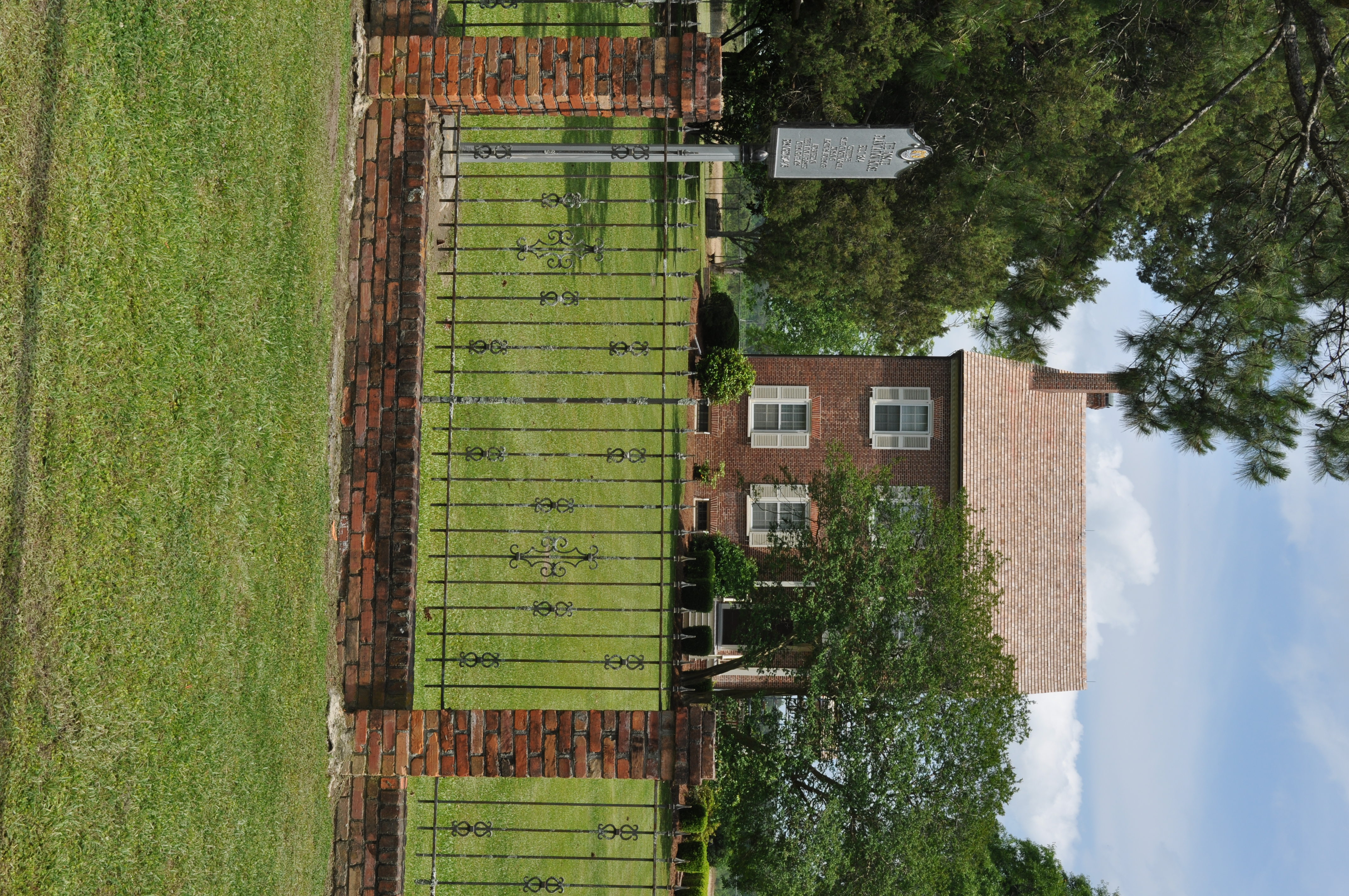
0544 House on Foscue Plantation Img_18697

Front View, Jones County Courthouse
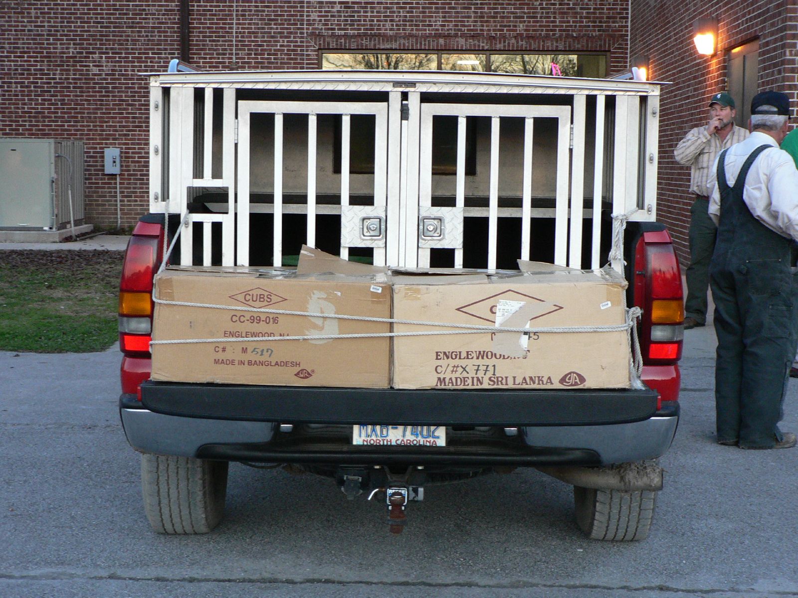
dog box

dog box
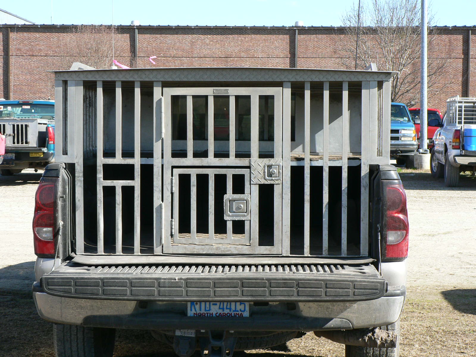
dog box
Topographic Map of North Carolina Hwy 58, Trenton, NC, USA
Find elevation by address:

Places near North Carolina Hwy 58, Trenton, NC, USA:
Spann Road
524 State Rd 1327
Jones County
145 Horton Ln
648 Piney Grove Rd
2852 North Carolina Hwy 58
1870 Oak Grove Rd
225 Piney Grove Rd
1439 Davis Field Rd
1940 County Rd 1121
1984 County Rd 1121
1984 County Rd 1121
151 Brimmage Rd
301 Magg Smith Rd
470 Riggs Ln
192 Riggs Dr
138 Hughes Plantation Rd
184 Hughes Plantation Rd
300 Trent St
406 Foy St
Recent Searches:
- Elevation of Groblershoop, South Africa
- Elevation of Power Generation Enterprises | Industrial Diesel Generators, Oak Ave, Canyon Country, CA, USA
- Elevation of Chesaw Rd, Oroville, WA, USA
- Elevation of N, Mt Pleasant, UT, USA
- Elevation of 6 Rue Jules Ferry, Beausoleil, France
- Elevation of Sattva Horizon, 4JC6+G9P, Vinayak Nagar, Kattigenahalli, Bengaluru, Karnataka, India
- Elevation of Great Brook Sports, Gold Star Hwy, Groton, CT, USA
- Elevation of 10 Mountain Laurels Dr, Nashua, NH, USA
- Elevation of 16 Gilboa Ln, Nashua, NH, USA
- Elevation of Laurel Rd, Townsend, TN, USA