Elevation of Riggs Ln, Pollocksville, NC, USA
Location: United States > North Carolina > Jones County > 2, Pollocksville > Pollocksville >
Longitude: -77.249218
Latitude: 34.9902723
Elevation: 11m / 36feet
Barometric Pressure: 101KPa
Elevation Map:
Satellite Map:
Related Photos:
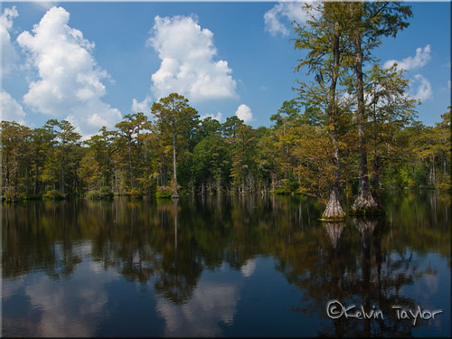
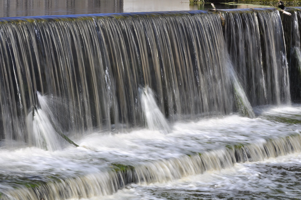
Brock's Mill Pond

To Every Purpose
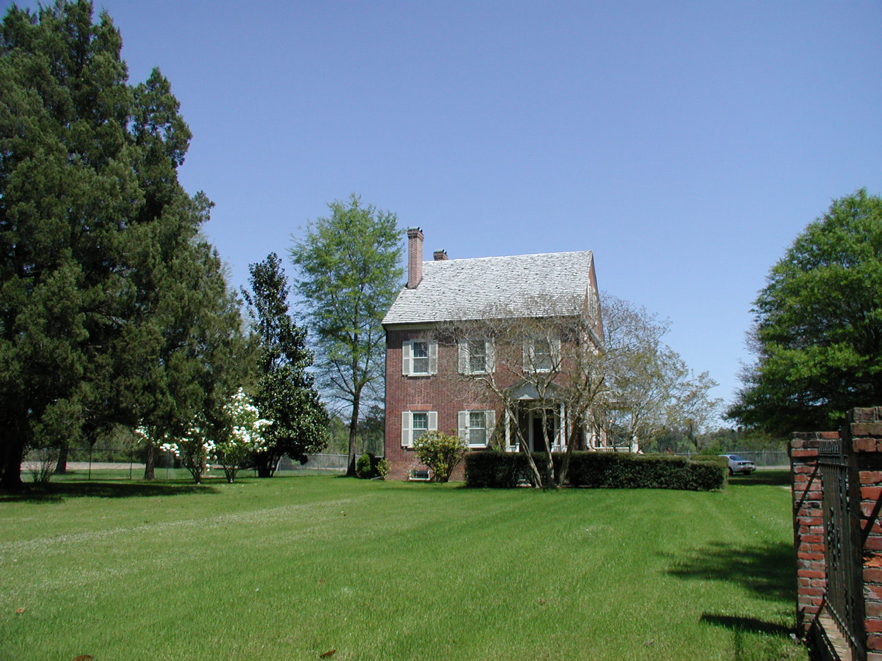
Exterior front view of the Foscue Plantation House

Front View, Jones County Courthouse

Hurricane Relief 2017
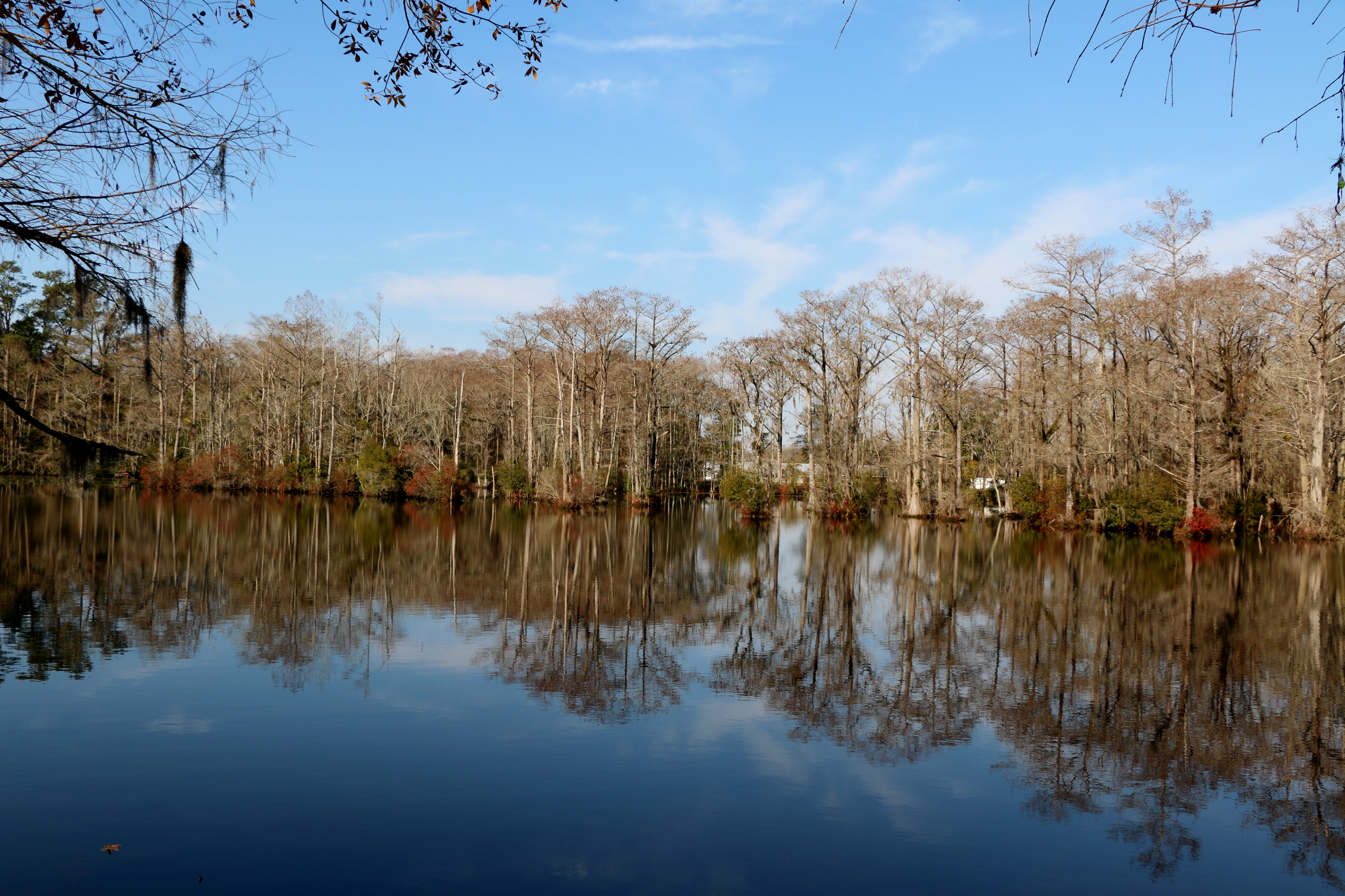
Brocks Mill Pond

Hurricane Relief 2017
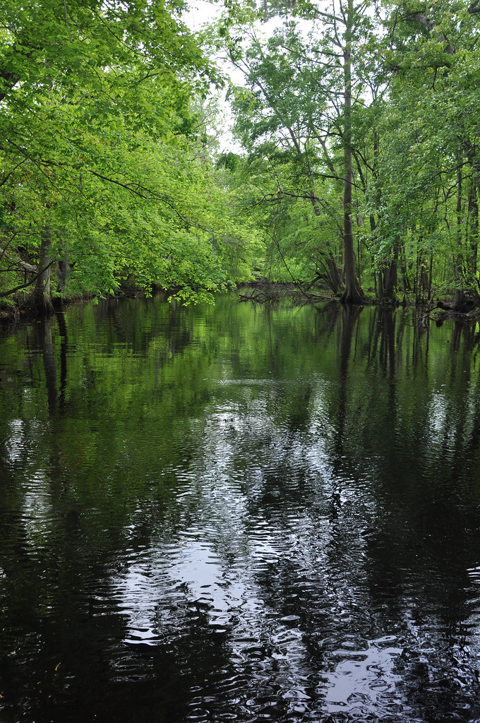
Creek flowing into Trent River

Creek flowing into Trent River

quiet growth

island Creek Trail
Brock's Mill Pond
Topographic Map of Riggs Ln, Pollocksville, NC, USA
Find elevation by address:

Places near Riggs Ln, Pollocksville, NC, USA:
192 Riggs Dr
300 Trent St
406 Foy St
310 2nd St
Pollocksville
2, Pollocksville
203 Main St
113 Main St
184 Hughes Plantation Rd
138 Hughes Plantation Rd
301 Magg Smith Rd
1439 Davis Field Rd
286 Trent Acres Dr
286 Trent Acres Dr
286 Trent Acres Dr
225 Piney Grove Rd
1940 County Rd 1121
1984 County Rd 1121
1984 County Rd 1121
200 County Rd 1336
Recent Searches:
- Elevation of Chesaw Rd, Oroville, WA, USA
- Elevation of N, Mt Pleasant, UT, USA
- Elevation of 6 Rue Jules Ferry, Beausoleil, France
- Elevation of Sattva Horizon, 4JC6+G9P, Vinayak Nagar, Kattigenahalli, Bengaluru, Karnataka, India
- Elevation of Great Brook Sports, Gold Star Hwy, Groton, CT, USA
- Elevation of 10 Mountain Laurels Dr, Nashua, NH, USA
- Elevation of 16 Gilboa Ln, Nashua, NH, USA
- Elevation of Laurel Rd, Townsend, TN, USA
- Elevation of 3 Nestling Wood Dr, Long Valley, NJ, USA
- Elevation of Ilungu, Tanzania