Elevation map of Nord, Haiti
Location: Haiti >
Longitude: -72.189
Latitude: 19.5687715
Elevation: 351m / 1152feet
Barometric Pressure: 97KPa
Elevation Map:
Satellite Map:
Related Photos:
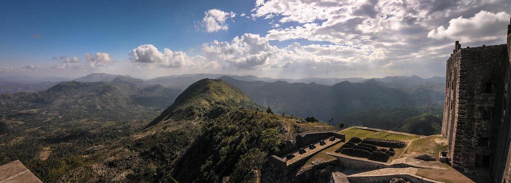
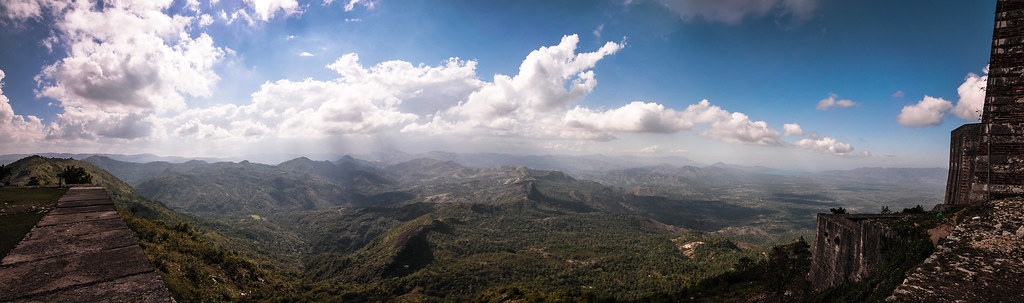
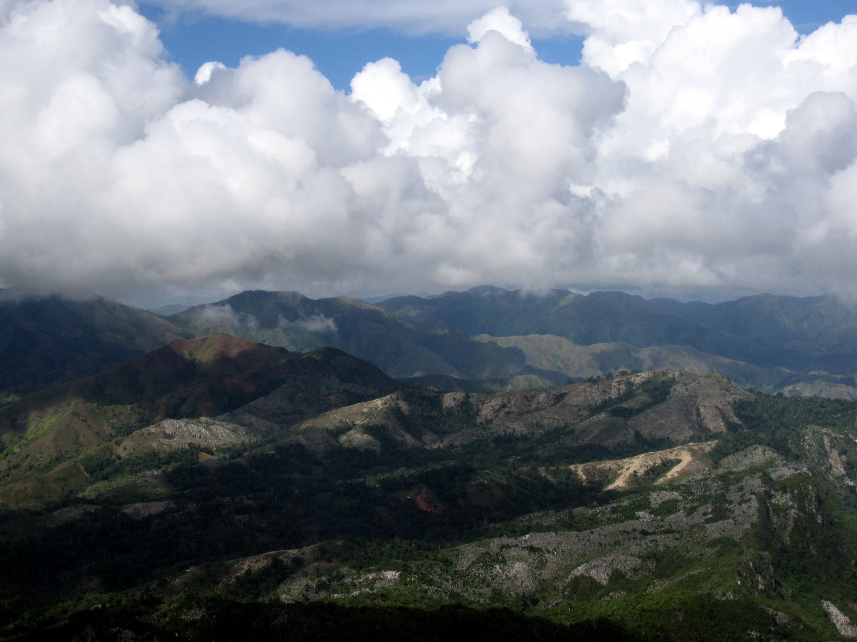
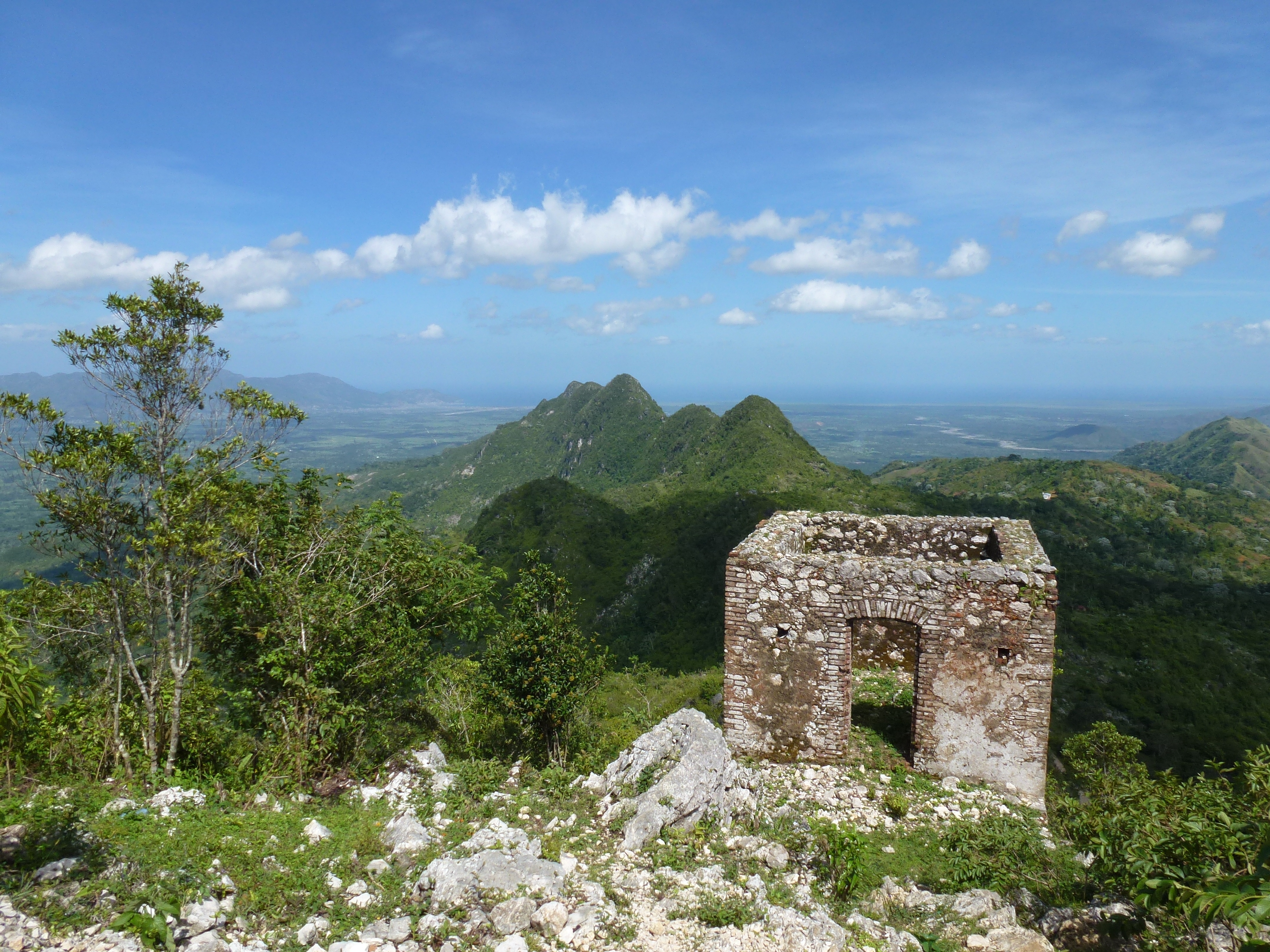
Haïti 31/52: All Along The Watchtower (Explore)

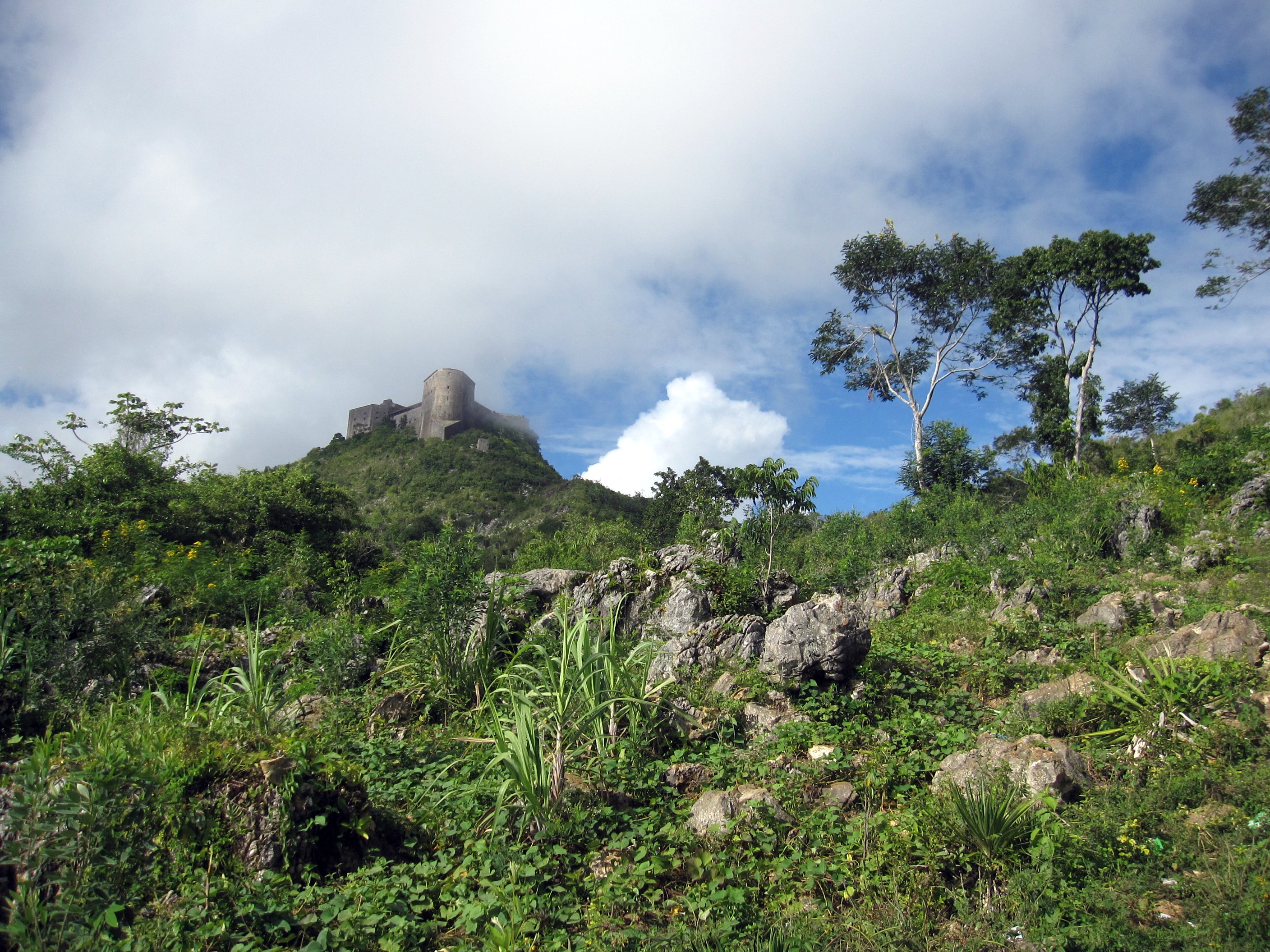
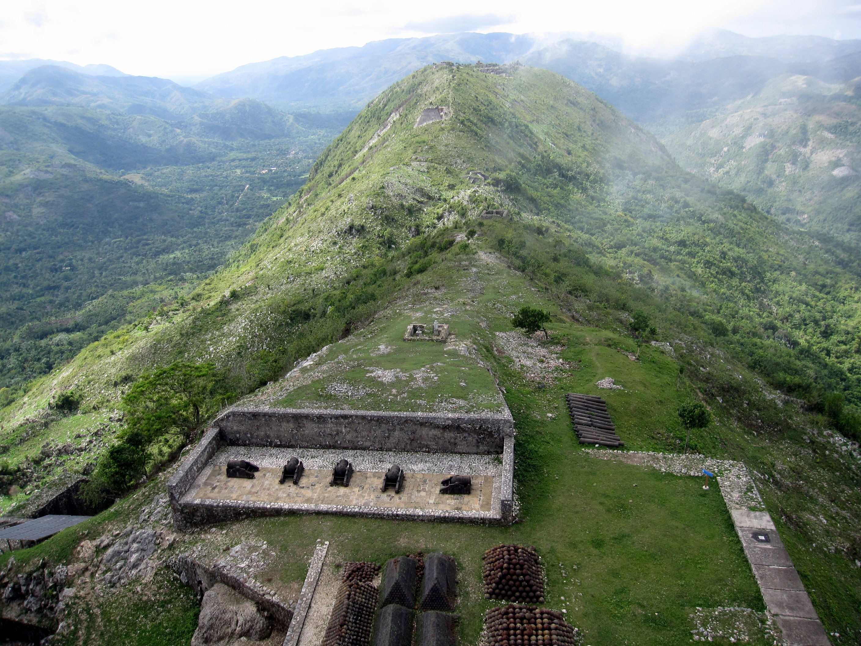
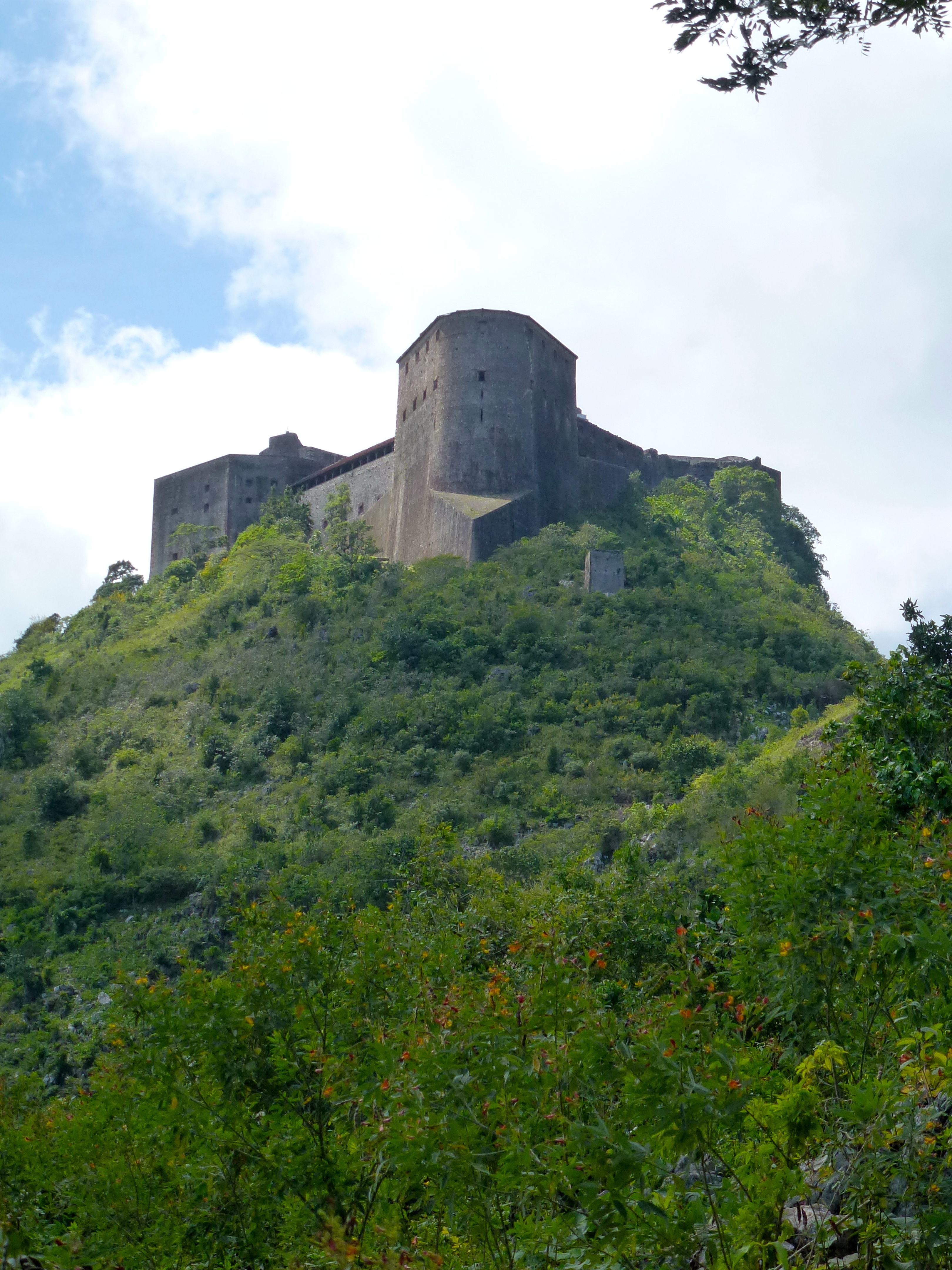
Haïti 17/52: Fortress In The Skies (Citadelle)
CapH-2
CapH-1
Haiti Weekend 019
Haiti Weekend 030
Haiti Weekend 018
Haiti Weekend 015
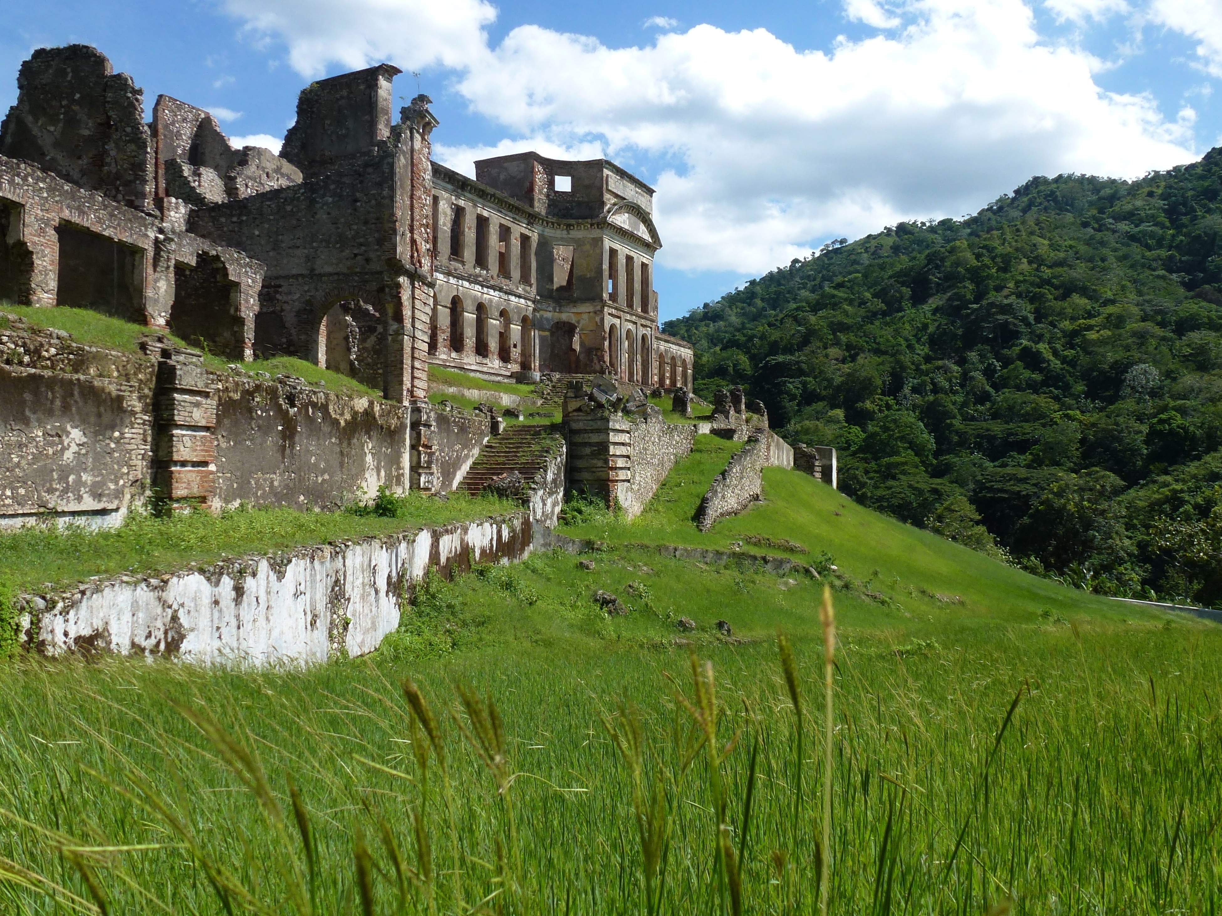
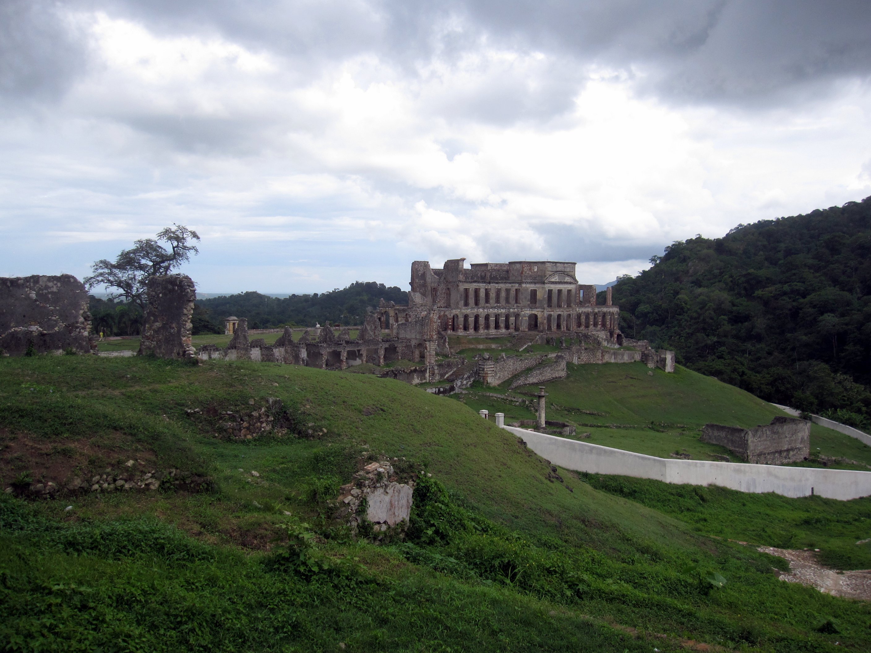
Palais Sans-Souci
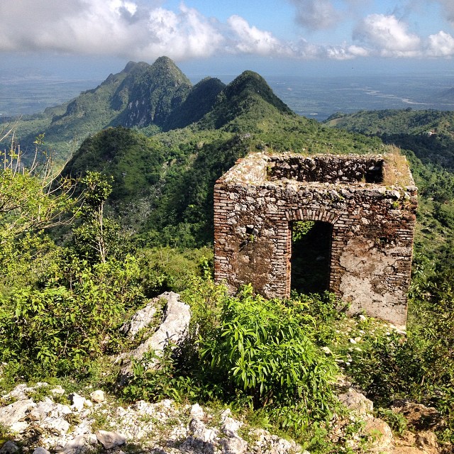
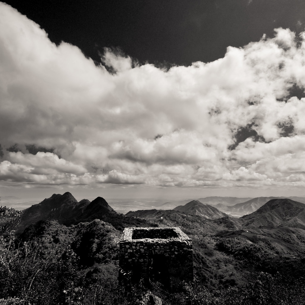
Haiti, a taste of the mountainous north. This, an old guard house in the shadow of the Citadel Laferrière outside of Cap-Haïtien.
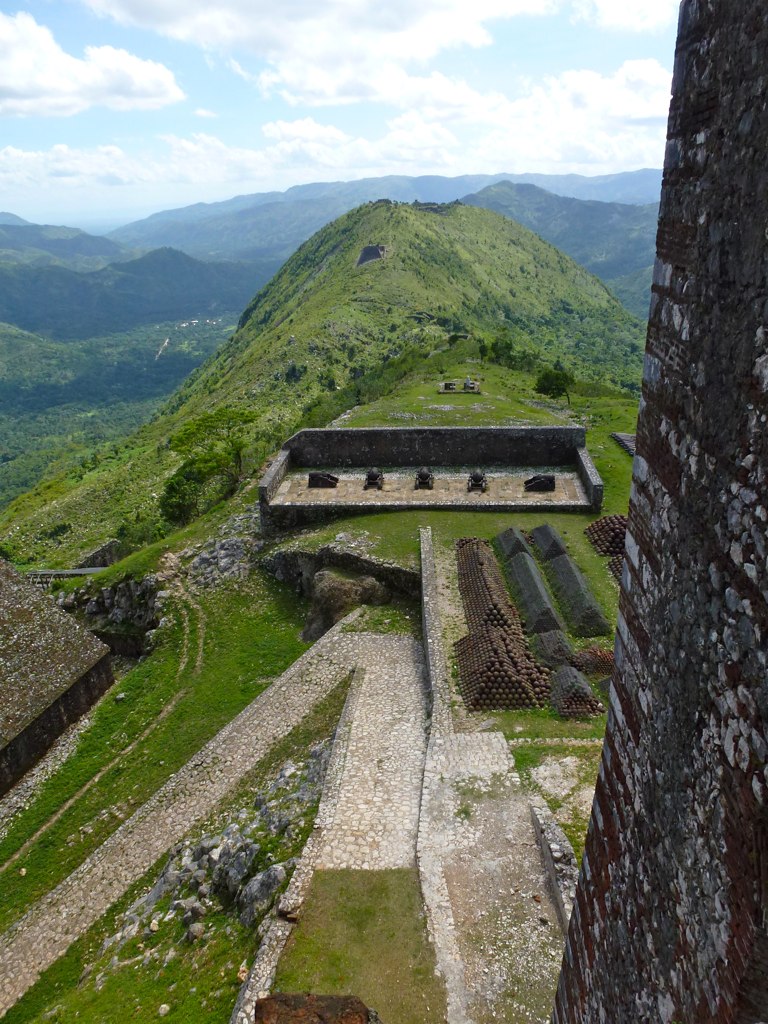
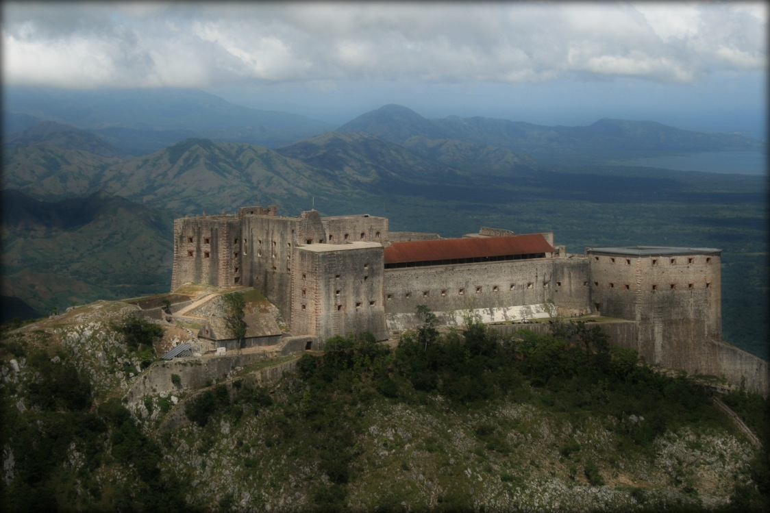
La Citadelle
Citadel ~ Haiti
Route de la Citadelle
La Citadelle

La Citadelle
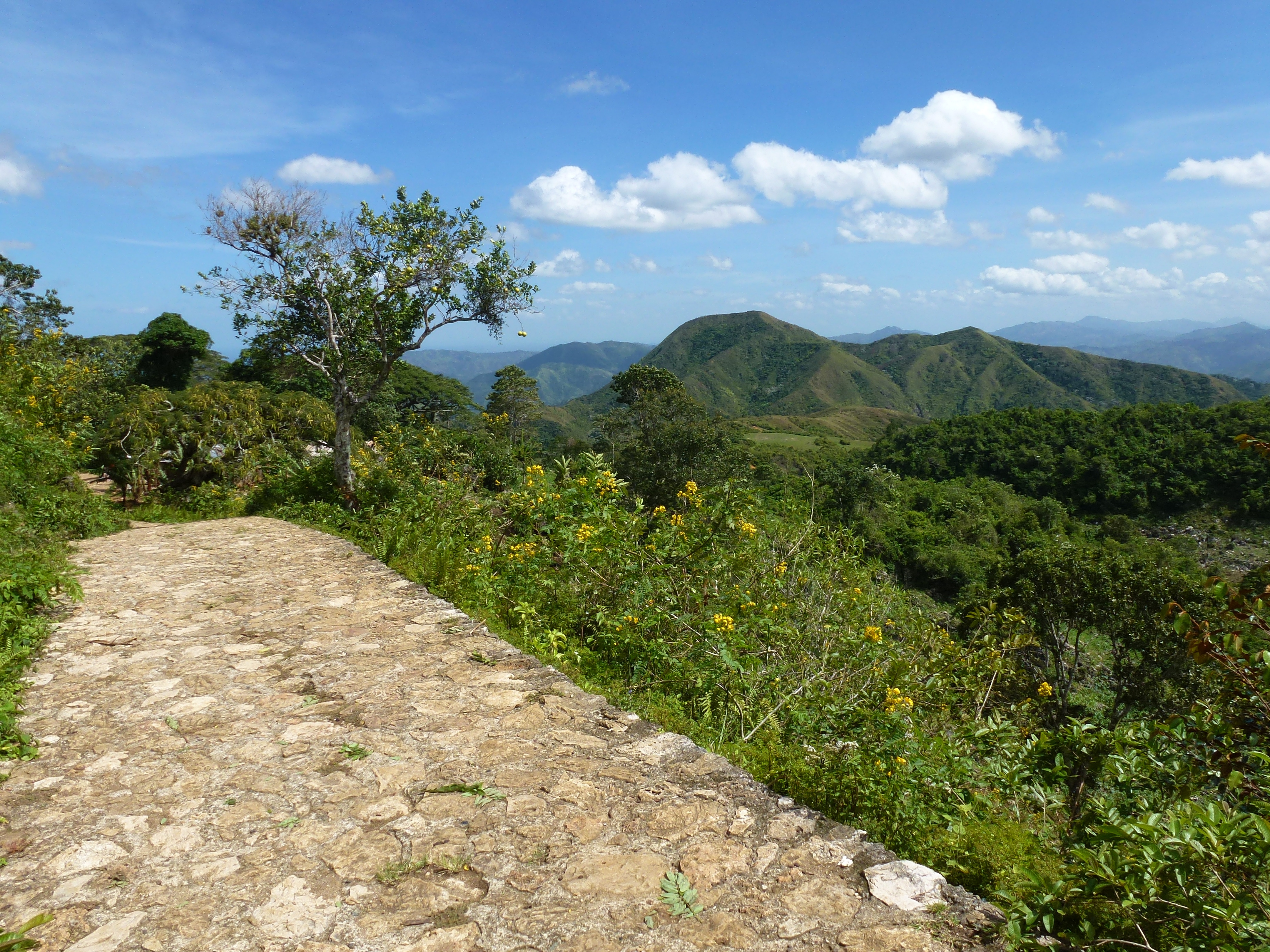
Route de la Citadelle
Topographic Map of Nord, Haiti
Find elevation by address:

Places in Nord, Haiti:
Places near Nord, Haiti:
Milot
Pignon
Fontaine
Morne Puilboreau
Artibonite
Nord-est
Hinche
Verrettes
Haiti
Centre
Saint-marc
Arcahaie
Anse-rouge
Port-au-prince
Port-au-prince International Airport
Rue Rochdale
Petionville Tent City
Hotel Prince
Karibe Hotel
Juvenat
Recent Searches:
- Elevation of Corso Fratelli Cairoli, 35, Macerata MC, Italy
- Elevation of Tallevast Rd, Sarasota, FL, USA
- Elevation of 4th St E, Sonoma, CA, USA
- Elevation of Black Hollow Rd, Pennsdale, PA, USA
- Elevation of Oakland Ave, Williamsport, PA, USA
- Elevation of Pedrógão Grande, Portugal
- Elevation of Klee Dr, Martinsburg, WV, USA
- Elevation of Via Roma, Pieranica CR, Italy
- Elevation of Tavkvetili Mountain, Georgia
- Elevation of Hartfords Bluff Cir, Mt Pleasant, SC, USA