Elevation of Port-au-Prince, Haiti
Location: Haiti > Ouest >
Longitude: -72.307432
Latitude: 18.594395
Elevation: 15m / 49feet
Barometric Pressure: 101KPa
Elevation Map:
Satellite Map:
Related Photos:

Northern View_4540c

Corail-Cesselesse
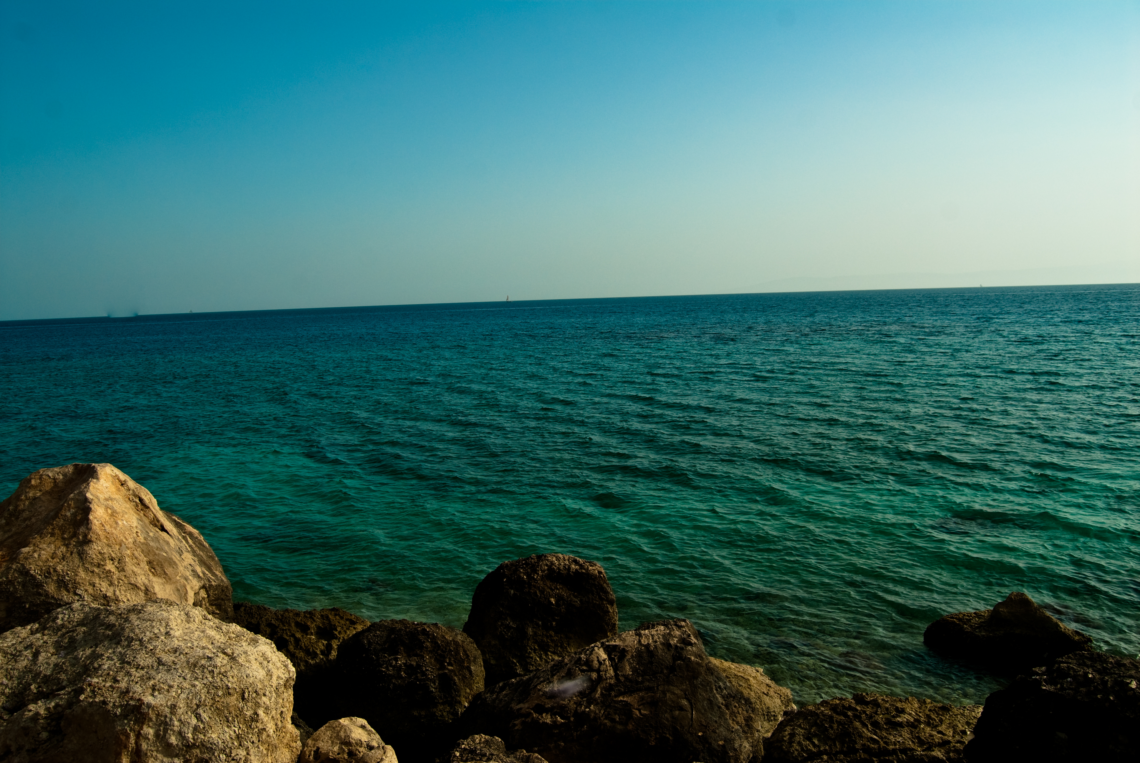
view of the caribbean from haiti 8
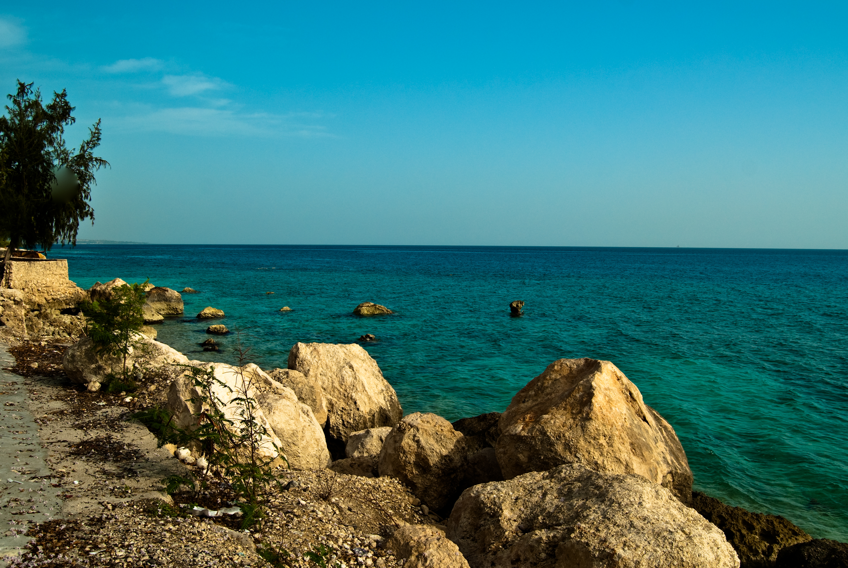
view of the caribbean from haiti 9
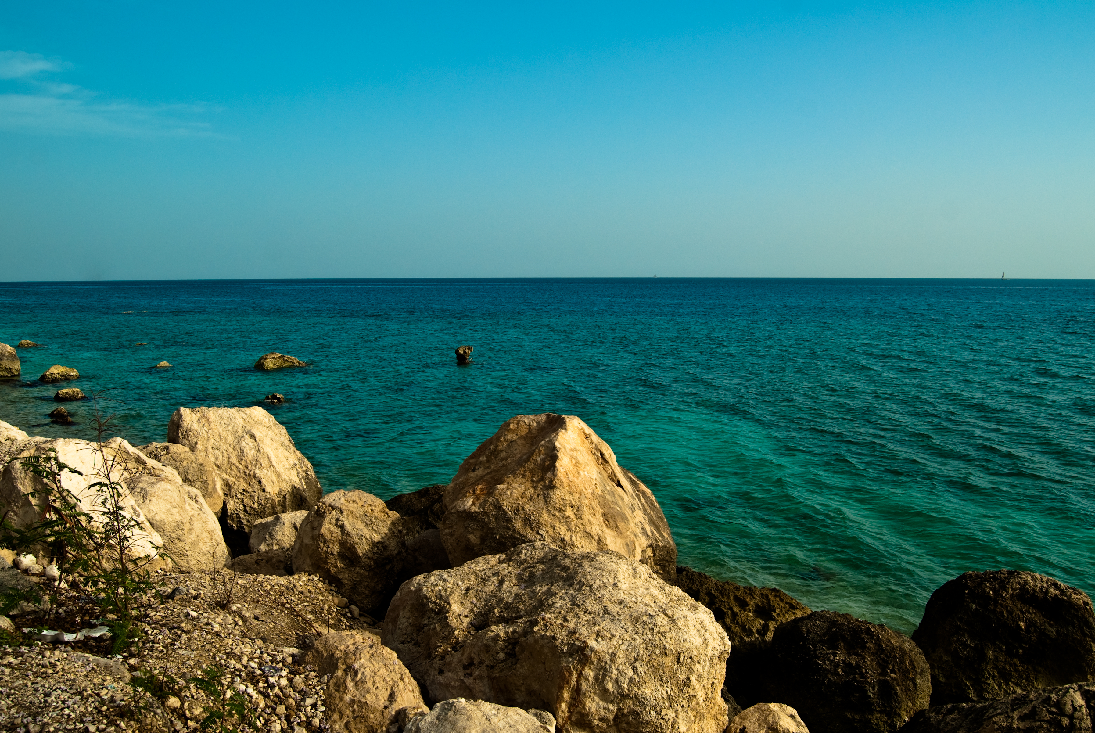
view of the caribbean from haiti 10

view of the caribbean from haiti 4

view of the caribbean from haiti 2
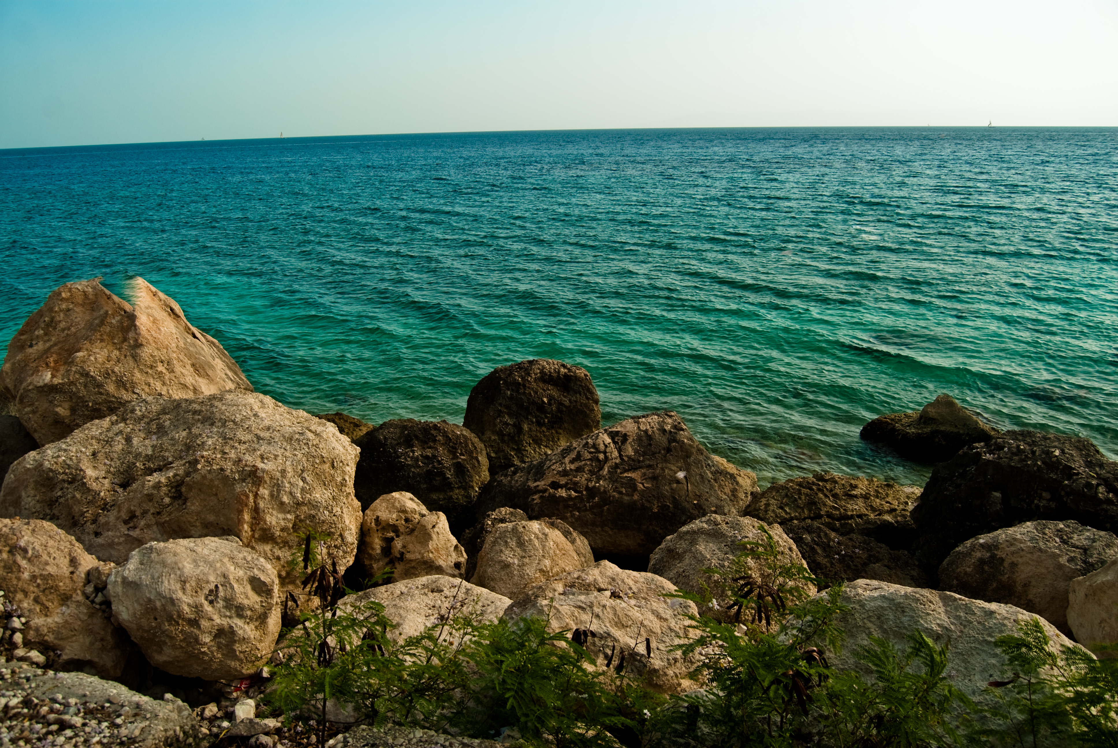
view of the caribbean from haiti 1
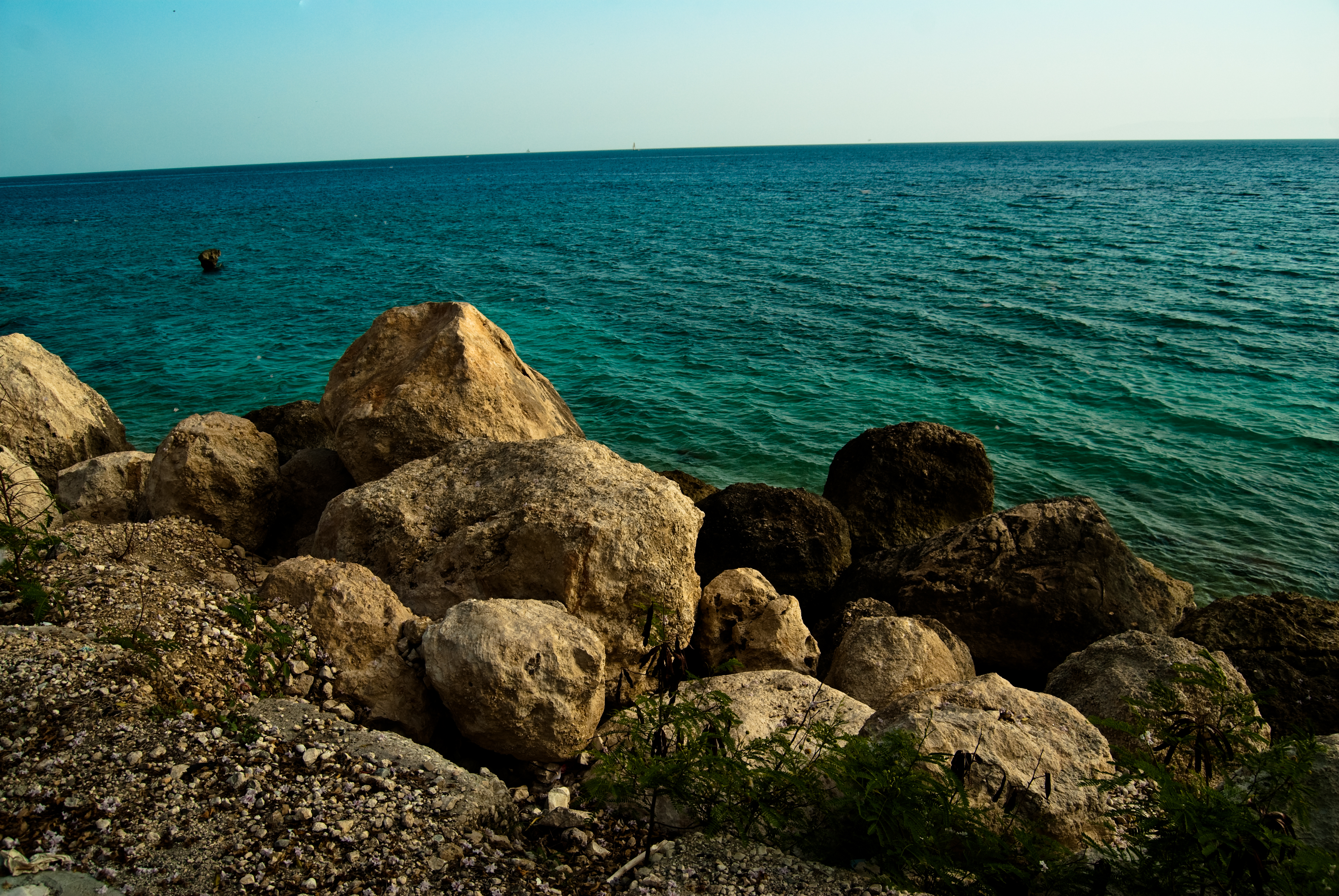
view of the caribbean from haiti 3

view of the caribbean from haiti 5

A view of Aviation camp - a camp rapidly turning into a new slum.
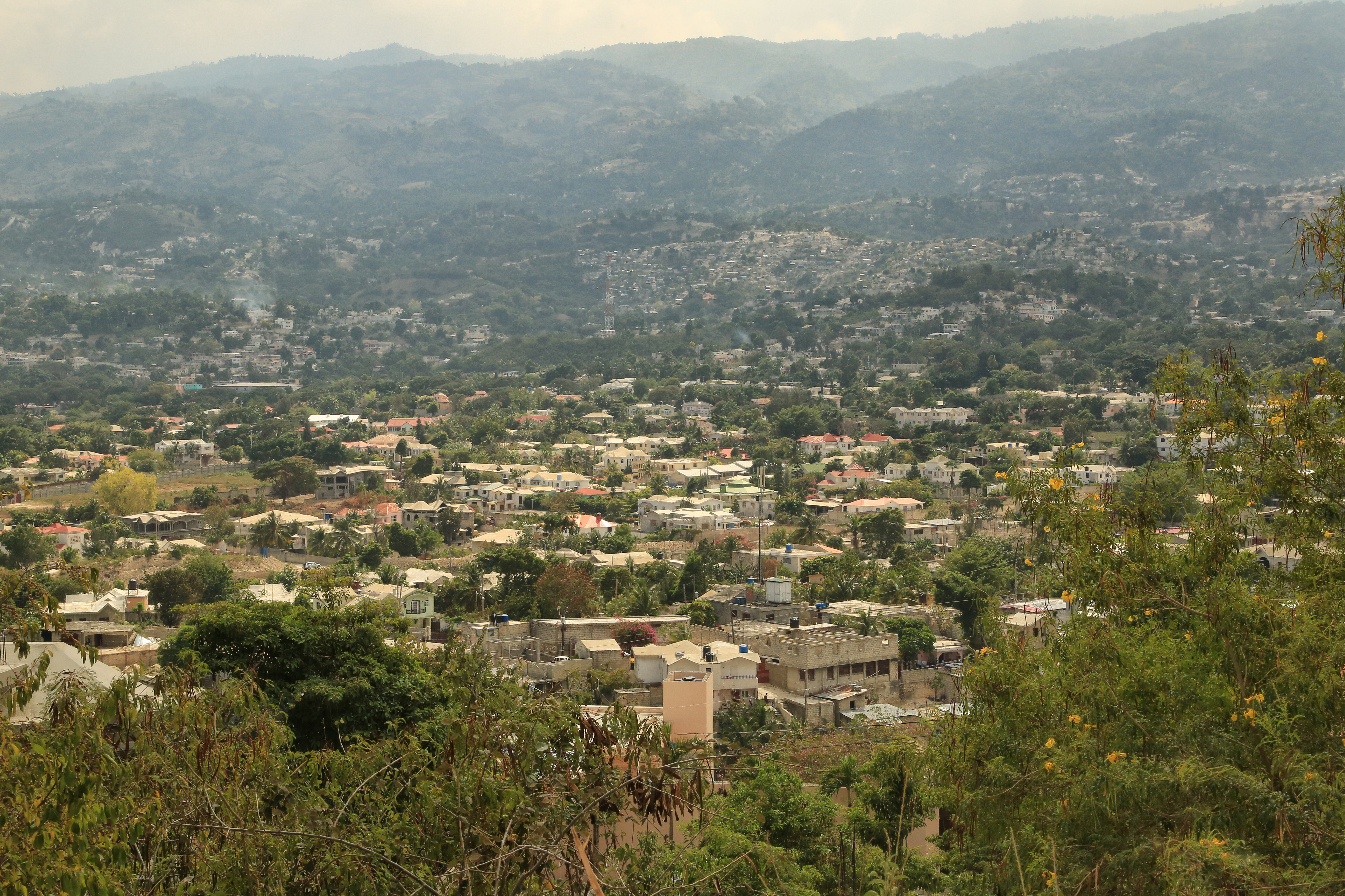
View of Belvil, from Rue Fine Fleur, Vivy Mitchell, Port-Au-Prince Metro, Ouest Department, Haiti 1
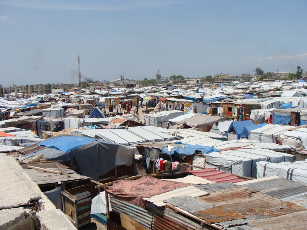
A view of Aviation camp - a camp rapidly turning into a new slum.
Topographic Map of Port-au-Prince, Haiti
Find elevation by address:

Places in Port-au-Prince, Haiti:
Places near Port-au-Prince, Haiti:
Port-au-prince International Airport
Petionville Tent City
Rue Rochdale
Hotel Prince
Karibe Hotel
Juvenat
Petion-ville
Les Fontaines, Laboule 12
Carrefour
Kenscoff
Ranch Le Montcel
The Lodge
Furcy
Ouest
Gressier
Arcahaie
Tom Gateau
Haiti
Centre
Verrettes
Recent Searches:
- Elevation of Corso Fratelli Cairoli, 35, Macerata MC, Italy
- Elevation of Tallevast Rd, Sarasota, FL, USA
- Elevation of 4th St E, Sonoma, CA, USA
- Elevation of Black Hollow Rd, Pennsdale, PA, USA
- Elevation of Oakland Ave, Williamsport, PA, USA
- Elevation of Pedrógão Grande, Portugal
- Elevation of Klee Dr, Martinsburg, WV, USA
- Elevation of Via Roma, Pieranica CR, Italy
- Elevation of Tavkvetili Mountain, Georgia
- Elevation of Hartfords Bluff Cir, Mt Pleasant, SC, USA