Elevation of Nojoqui Falls, California, USA
Location: United States > California > Santa Barbara County > Solvang >
Longitude: -120.17181
Latitude: 34.5283216
Elevation: 352m / 1155feet
Barometric Pressure: 97KPa
Elevation Map:
Satellite Map:
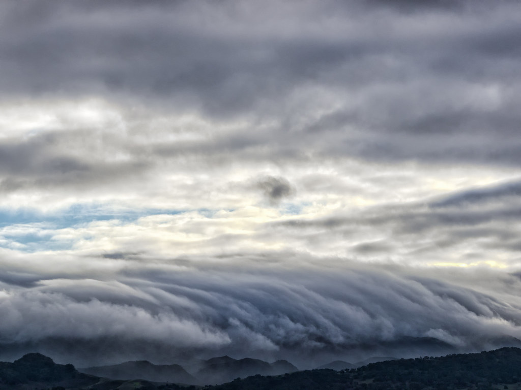
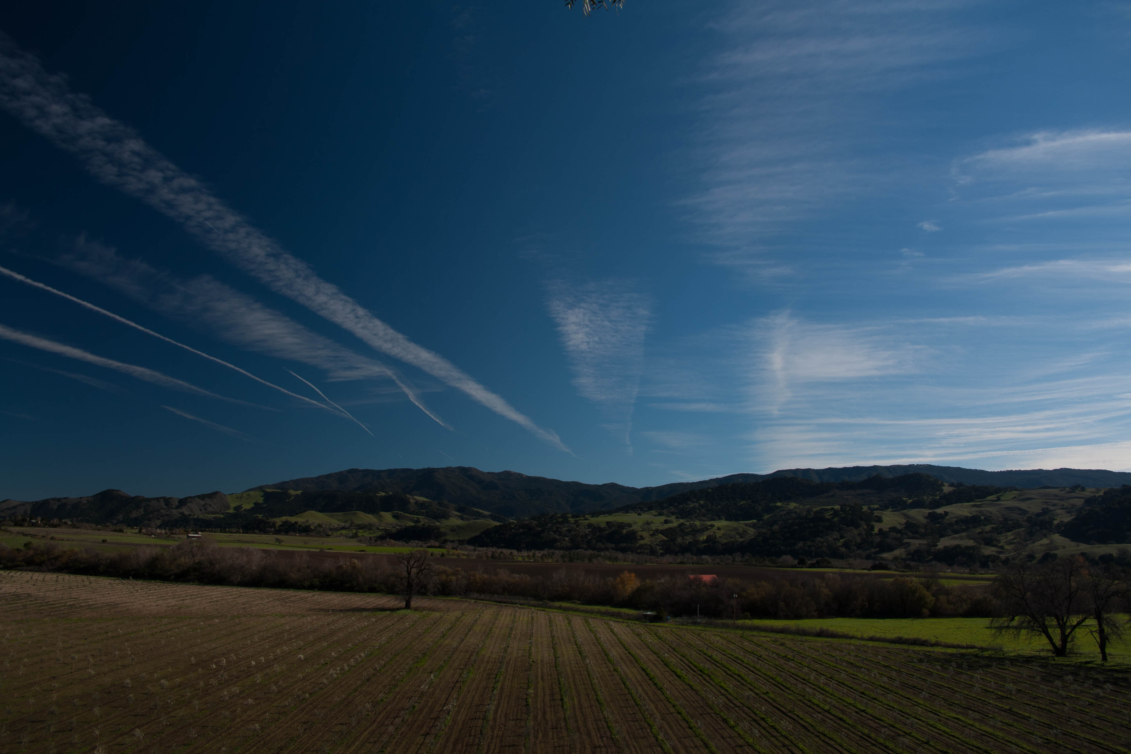
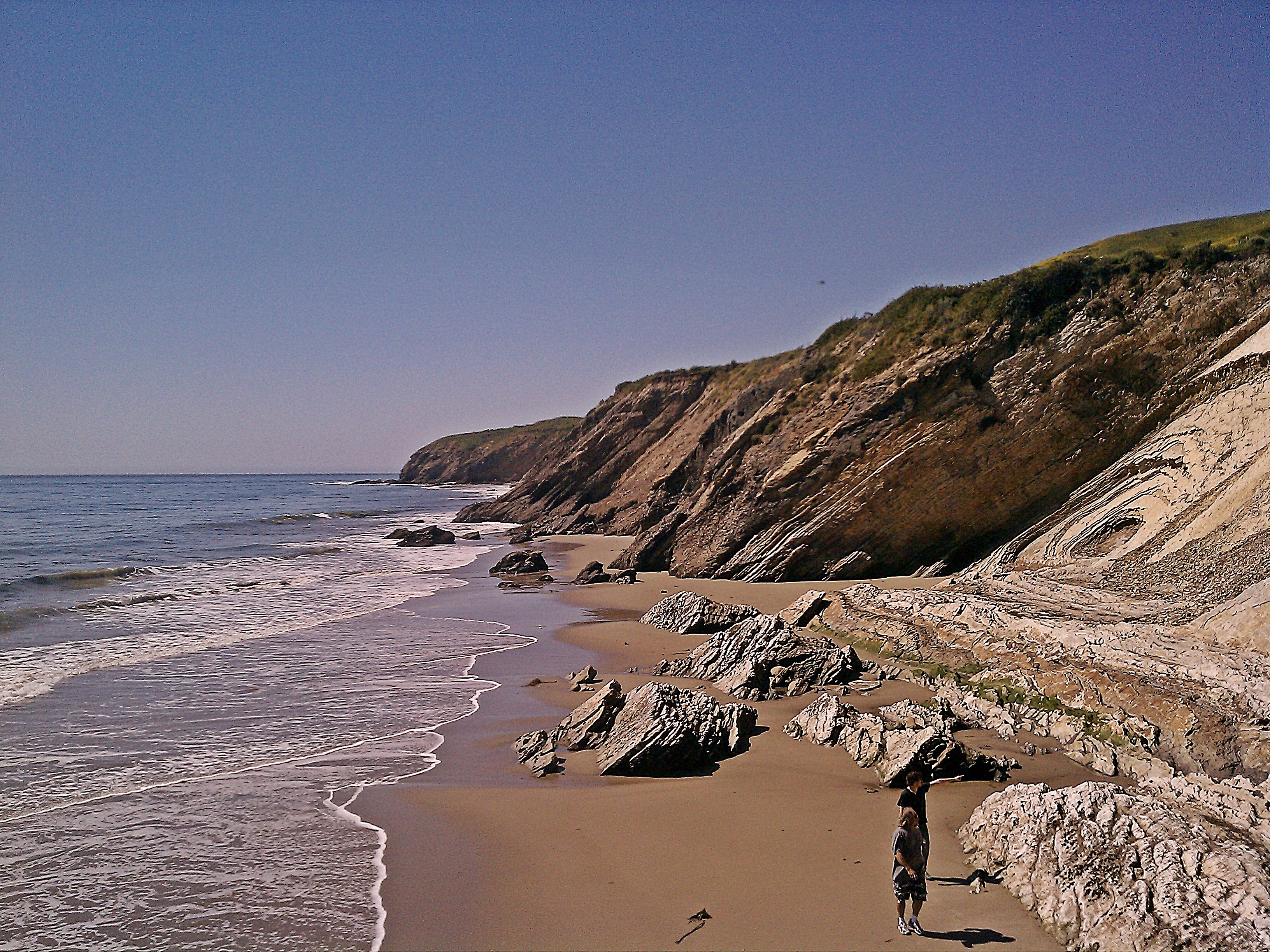
Related Photos:
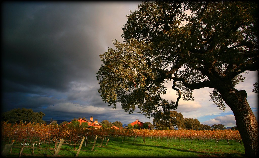
SANTA YNEZ VALLEY,CALIFORNIA
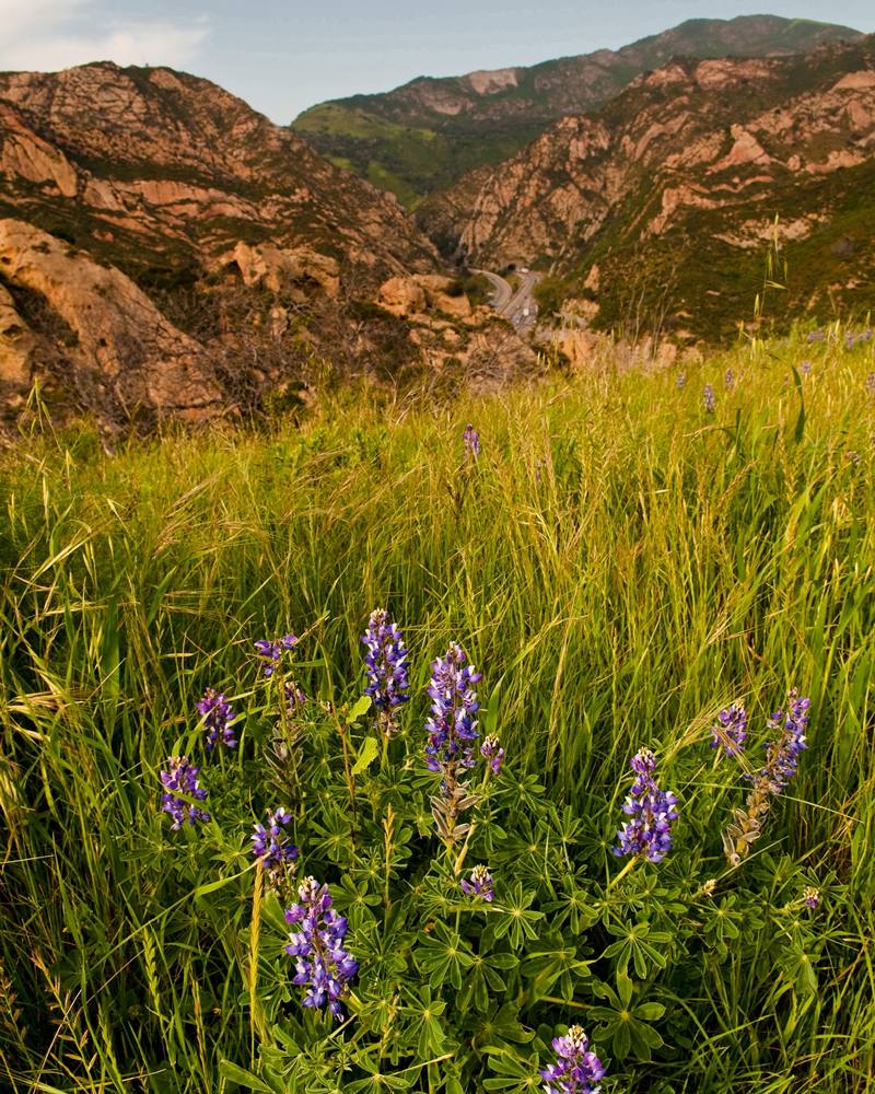
Lupine in the Park
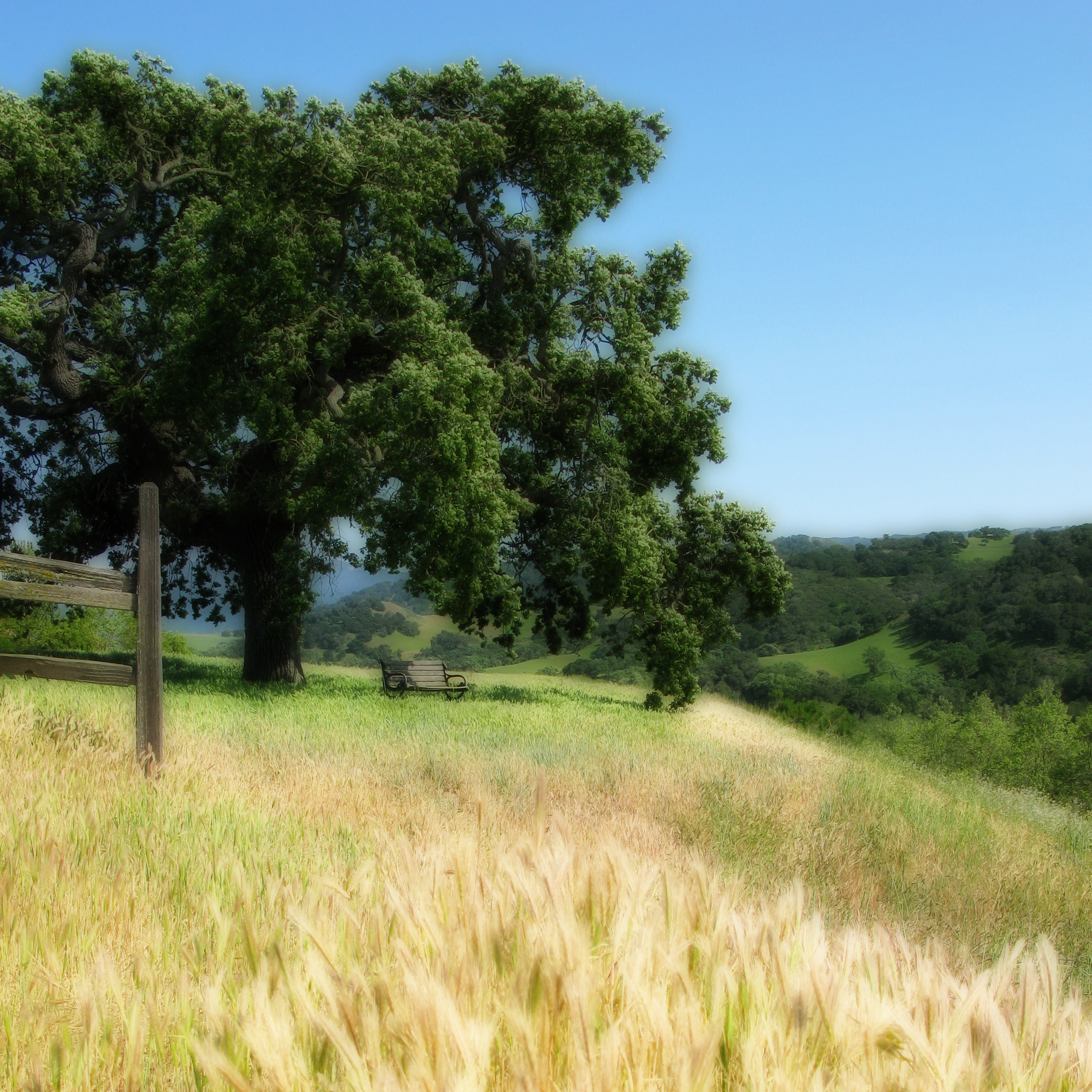
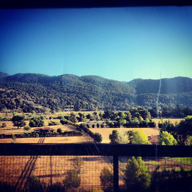
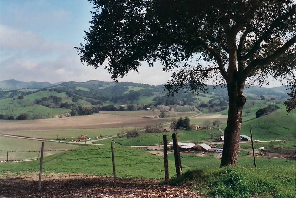
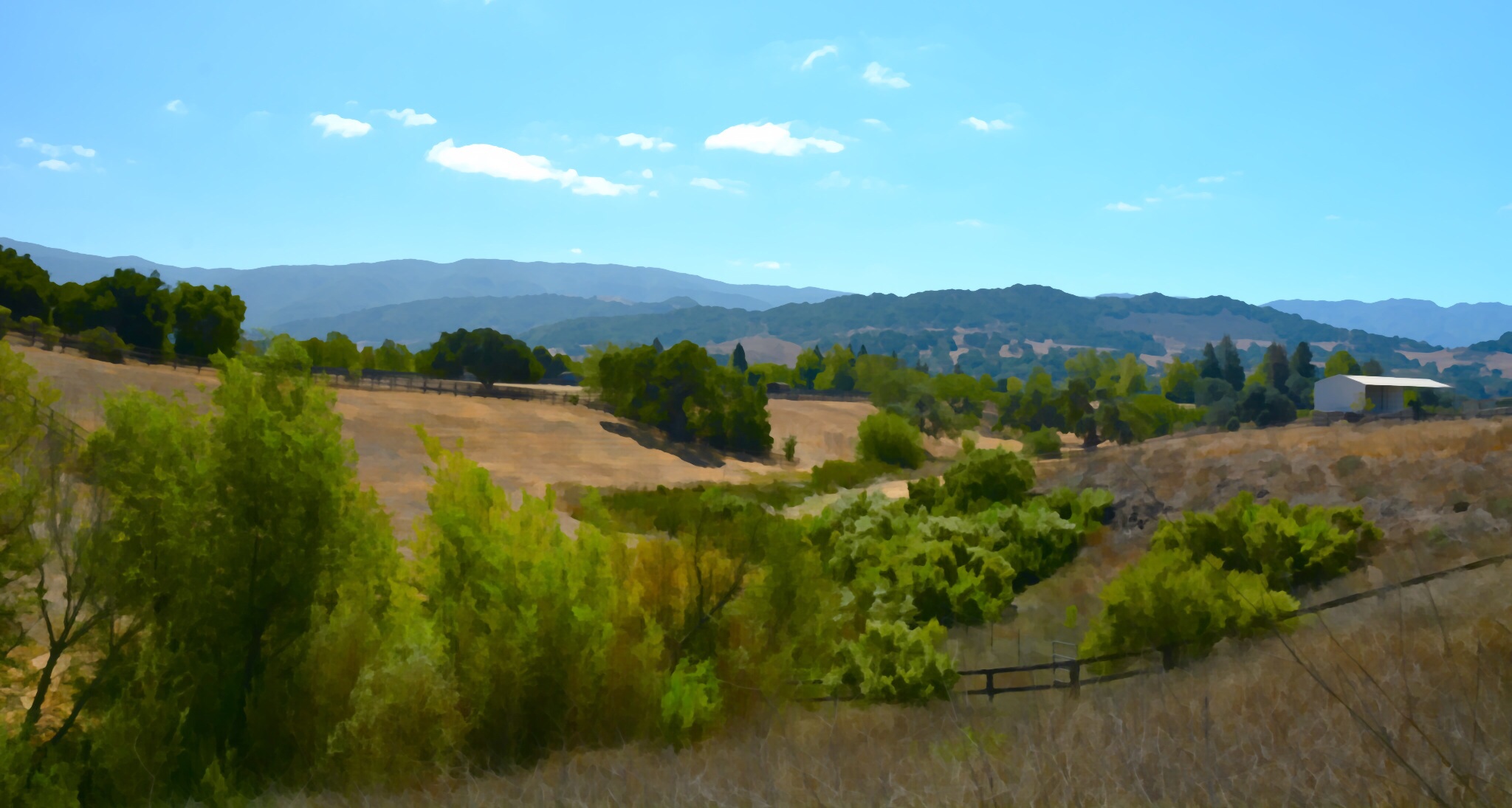
Santa Ynez Valley - California
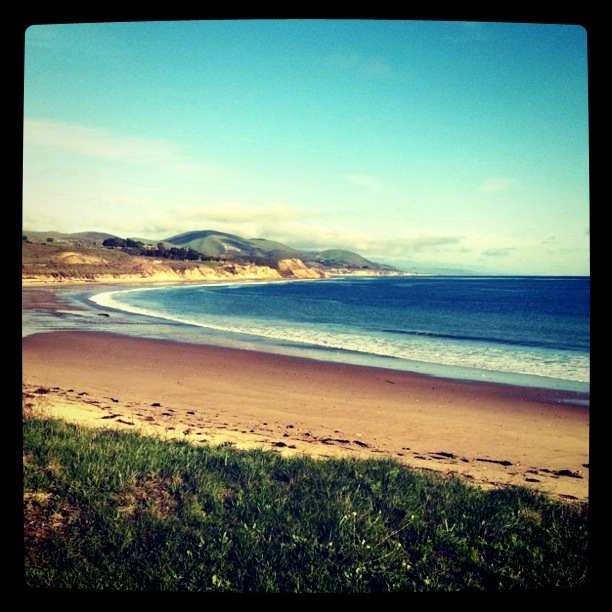
View from Bullito
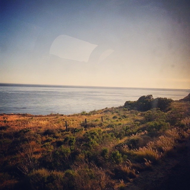
View from the train right now
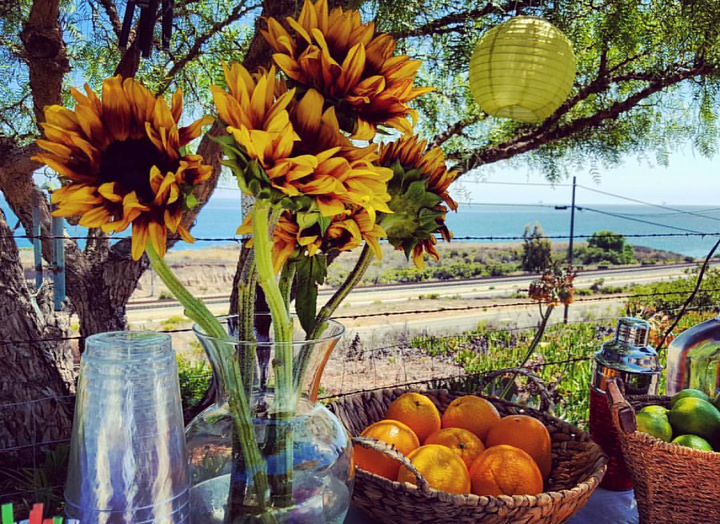
Kitchen view
PB220261.jpg
California Coast
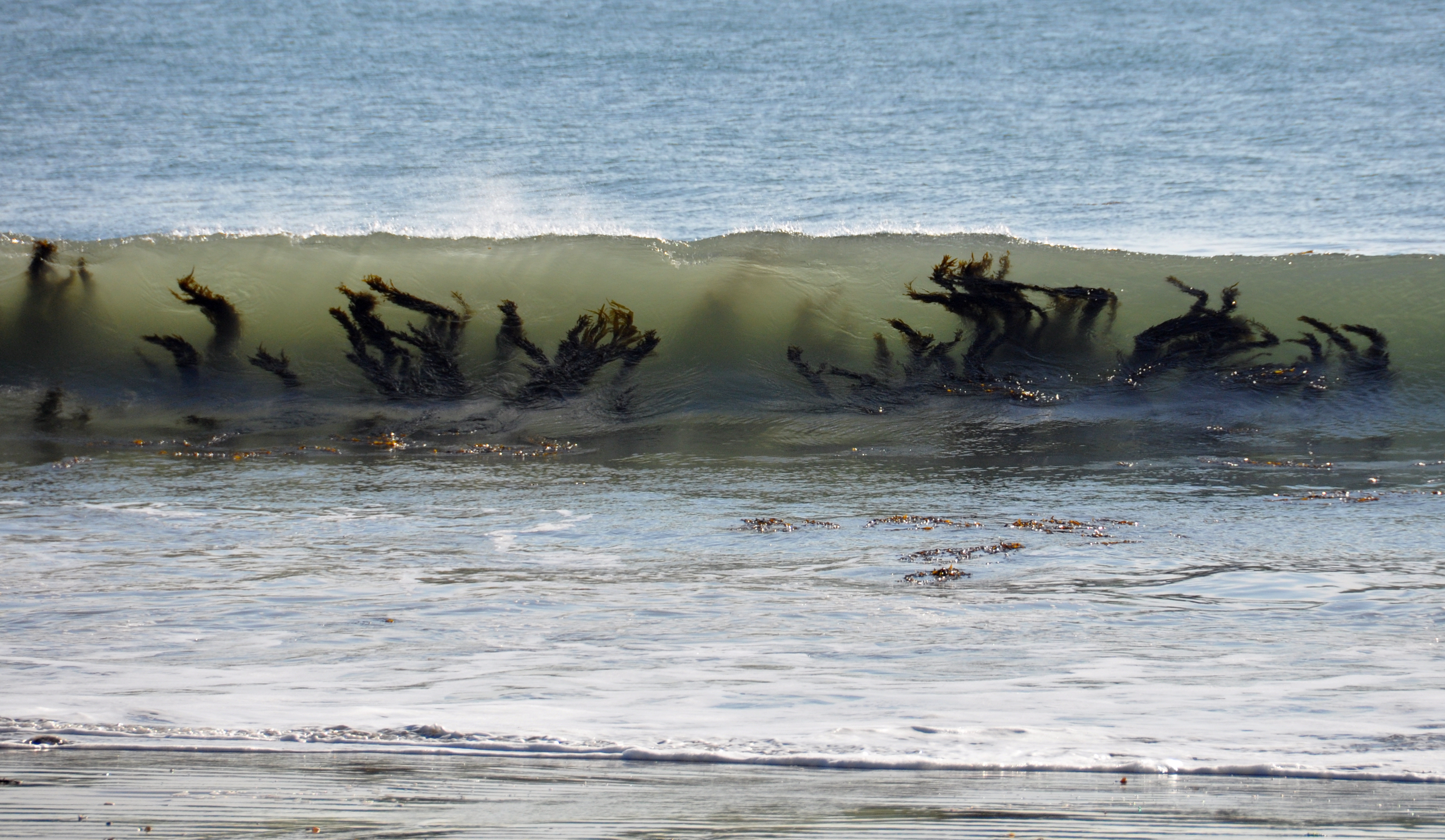
Waving Seaweed or Seaweed Wave?
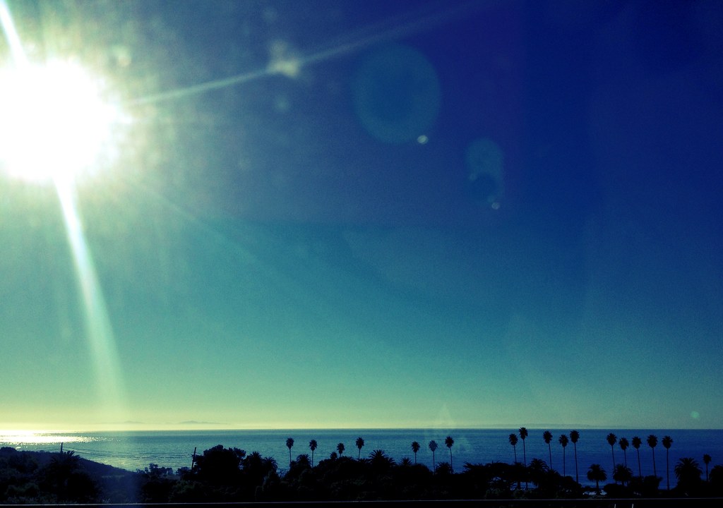
Amazing view of the Pacific Ocean
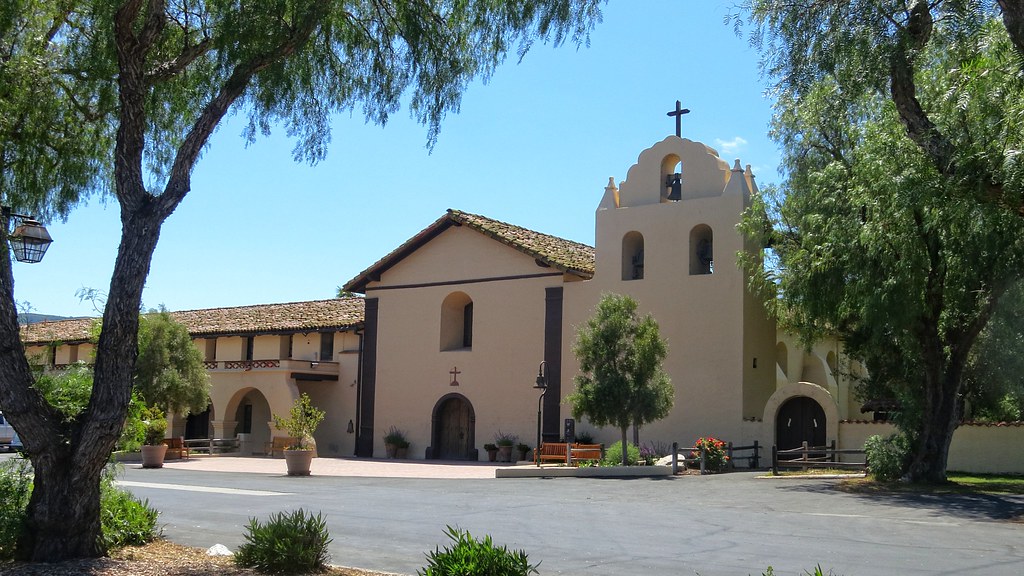
California Mission
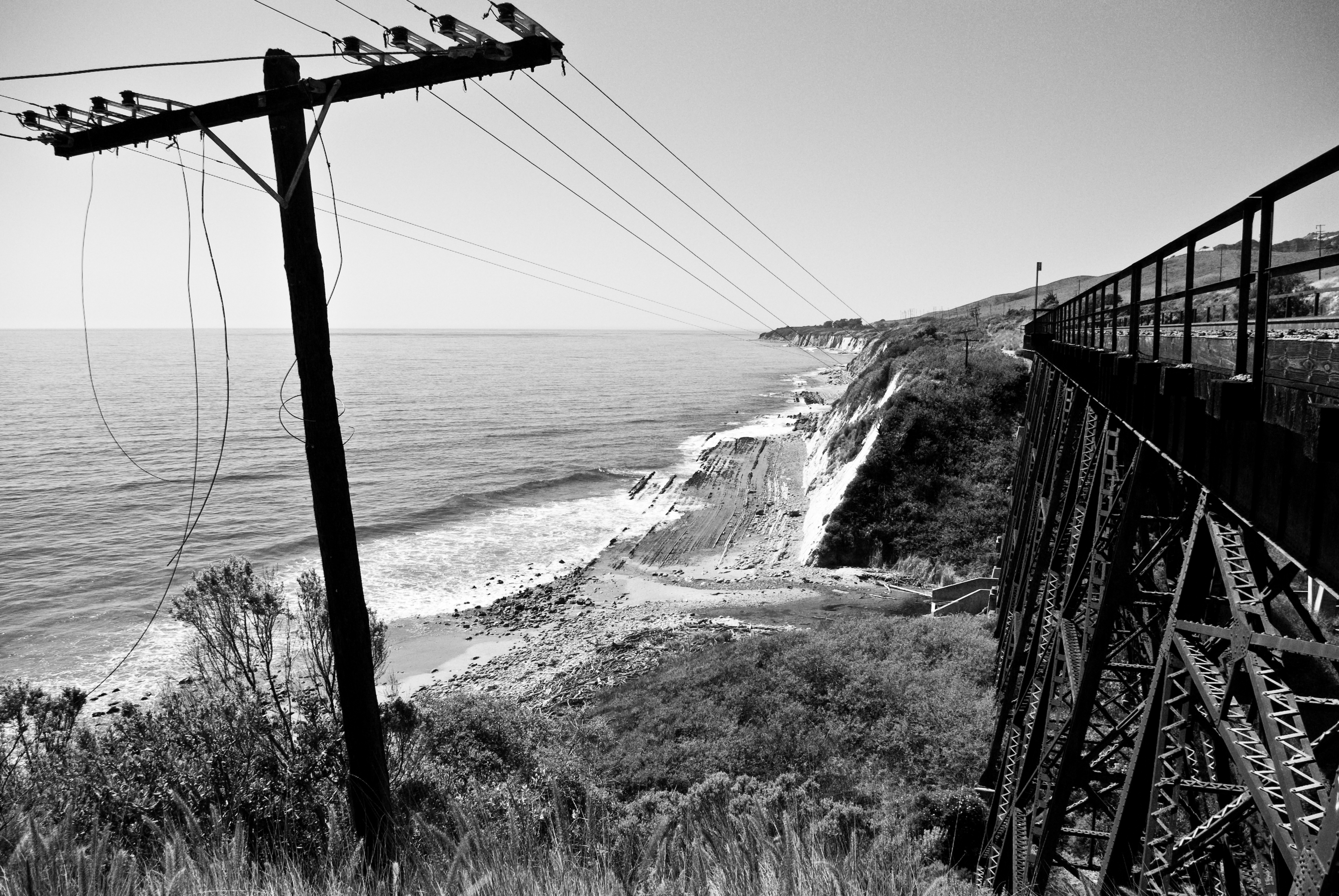
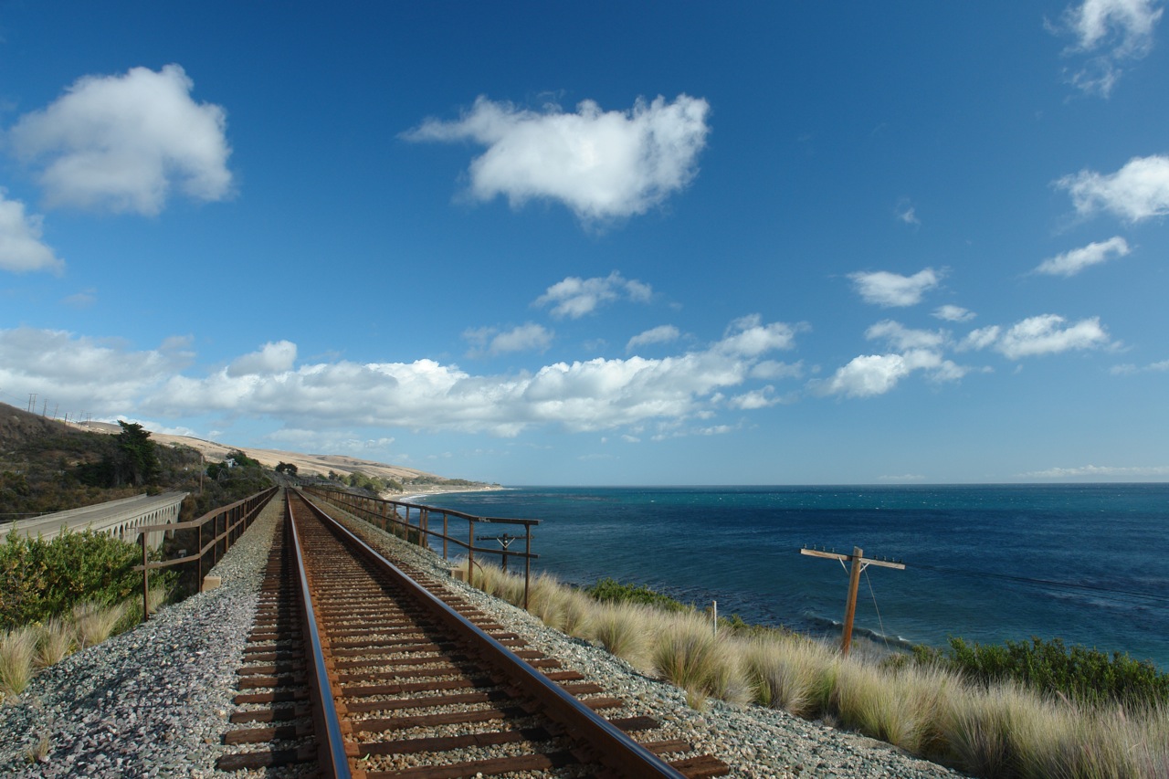
Railroad along the coast
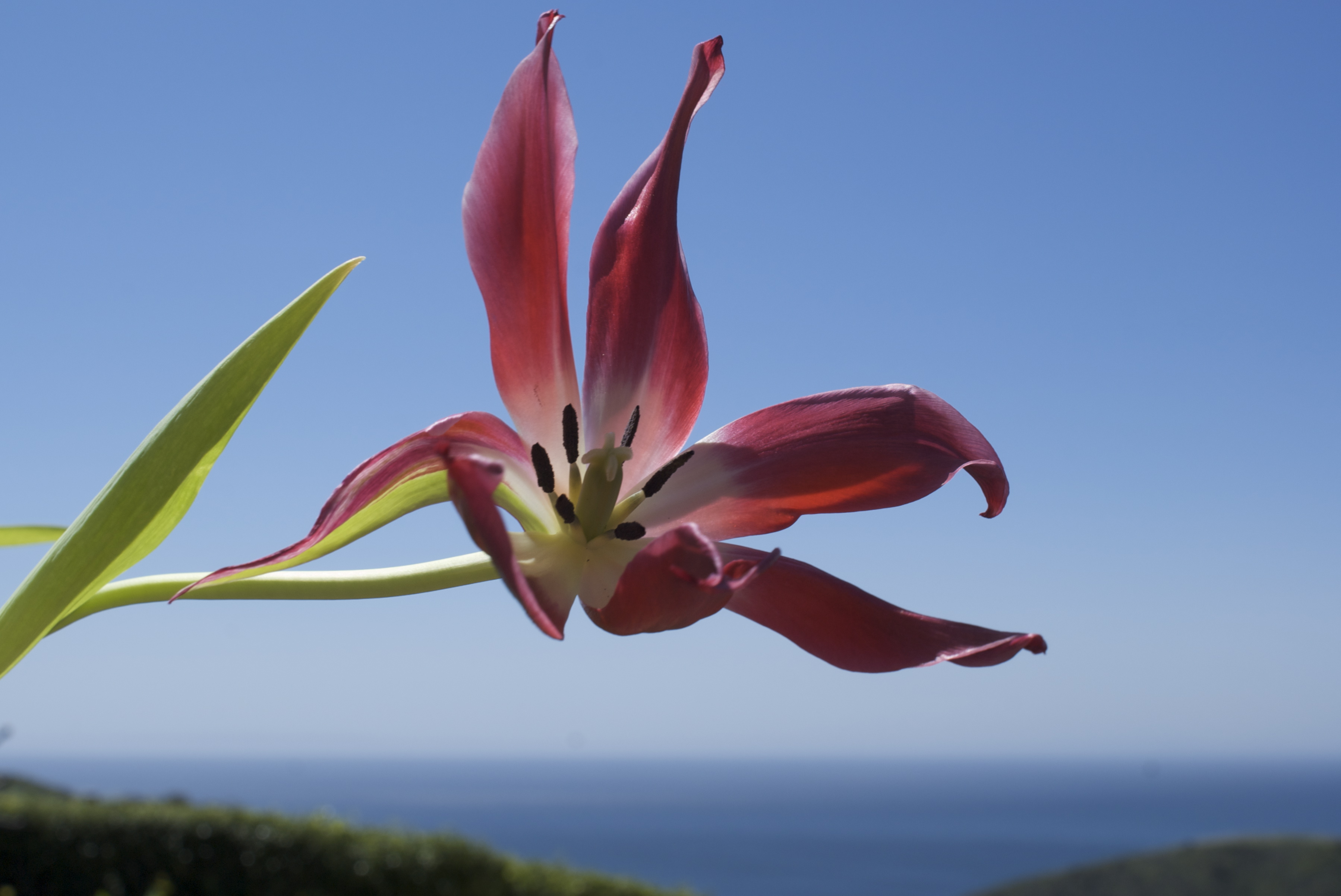
dying tulip enjoying the view
a2005-02-22
birthday party with a view ???? #orellaranch #santabarbara
PB230373.jpg
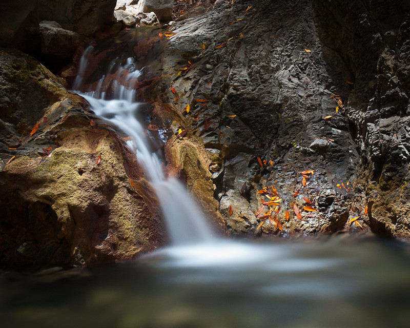
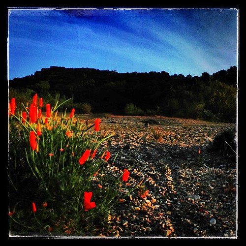
Nojoqui Creek
Bed with a view. Day 2. Mile 0. Total 27 .
Santa Ynez Valley View
Along PCH

Santa Ynez Valley
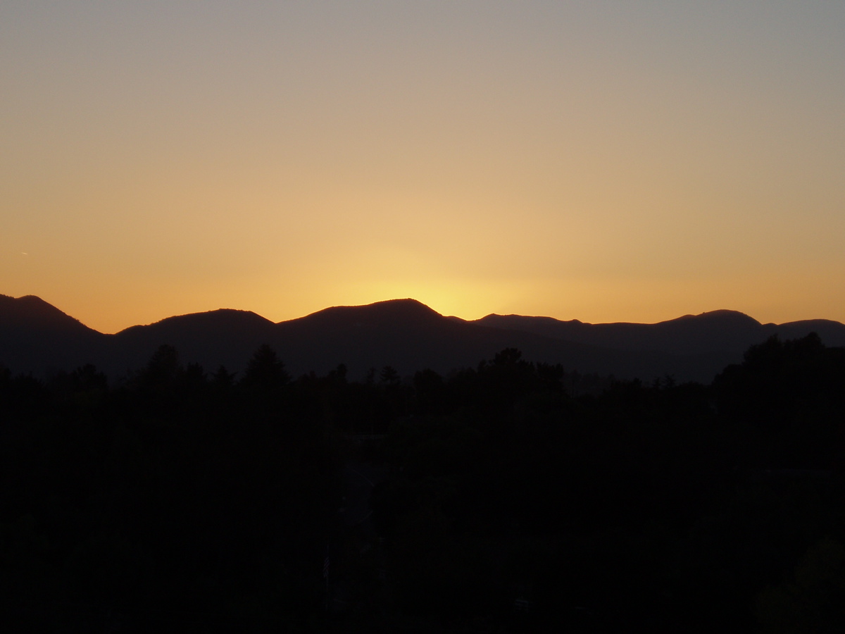
Evening in blue & gold
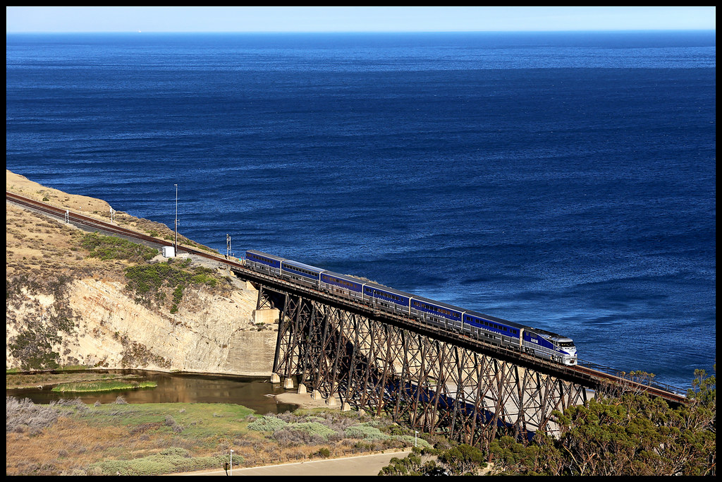
AMTK 455

Now I stand accused of the things I've said
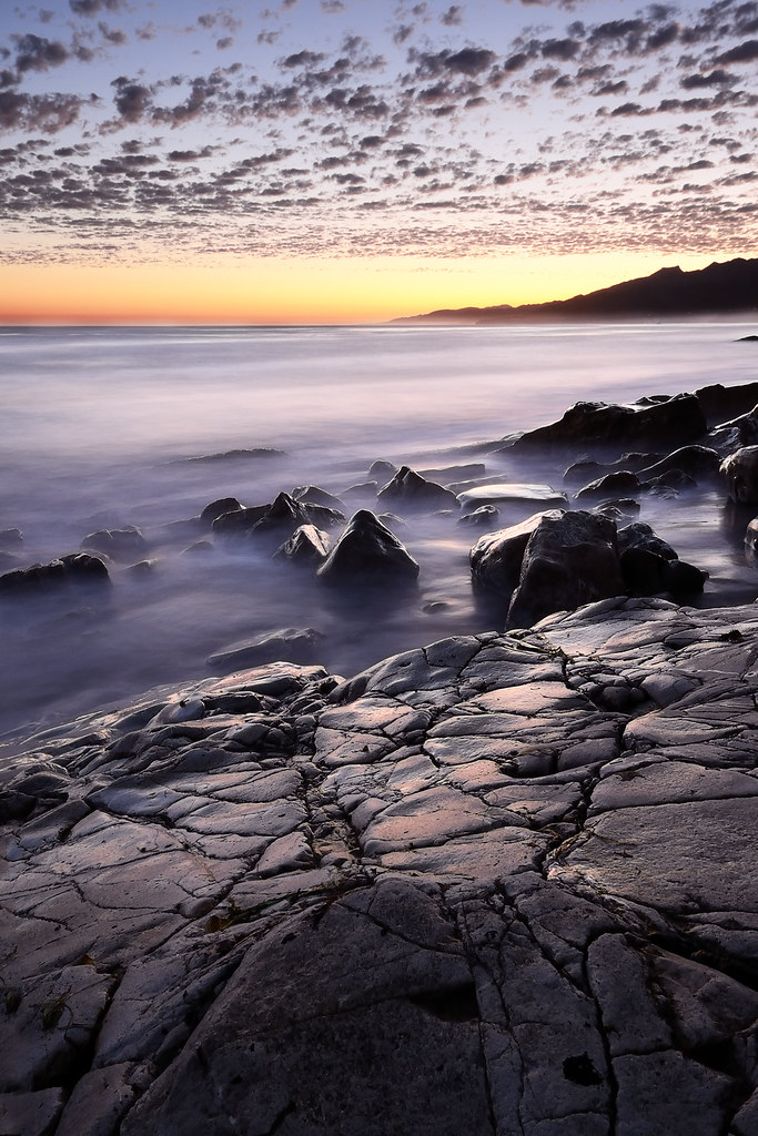
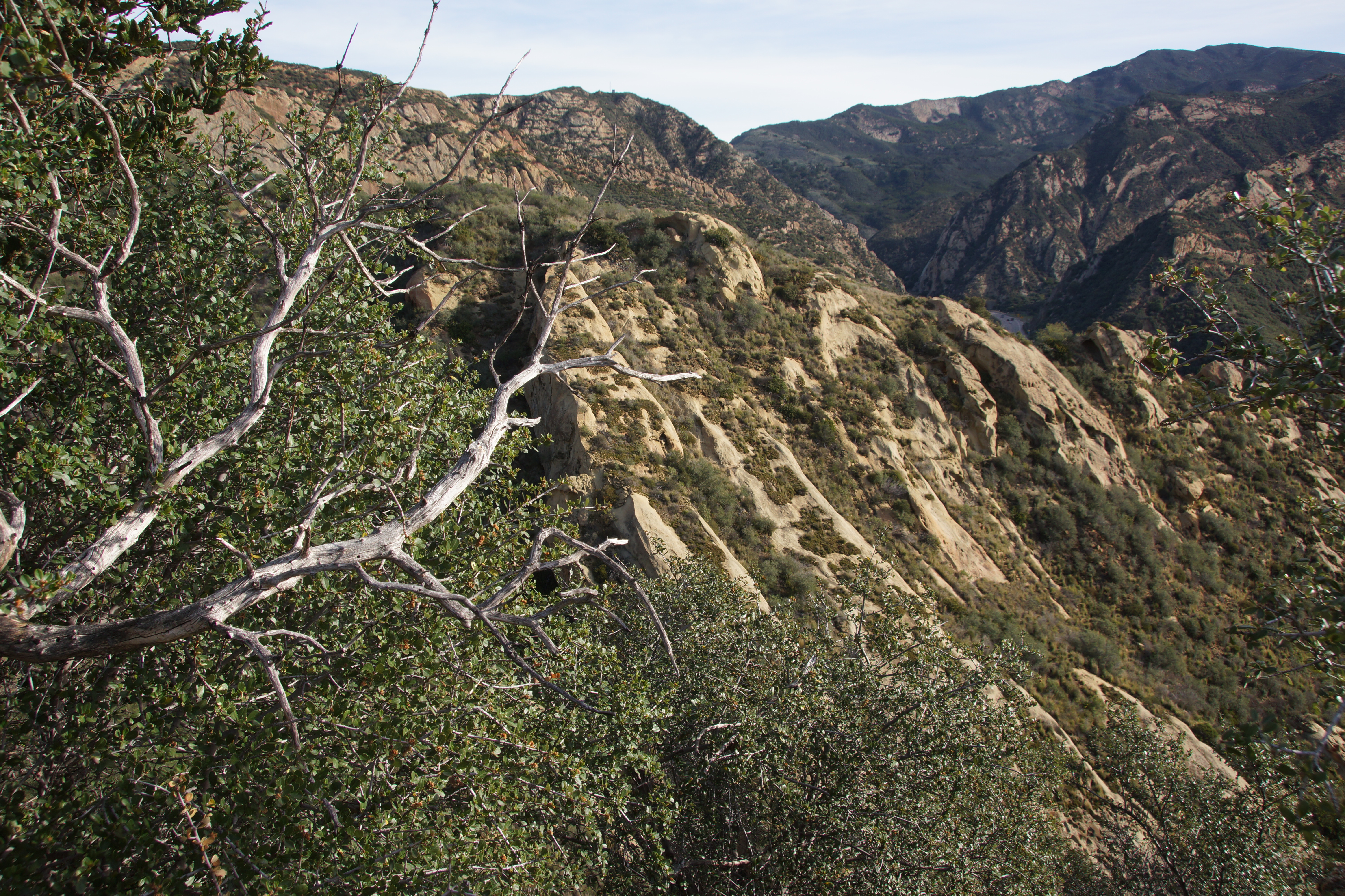
Cañada Del Venadito
She sees the truth behind the lies
the pier at Gaviota...
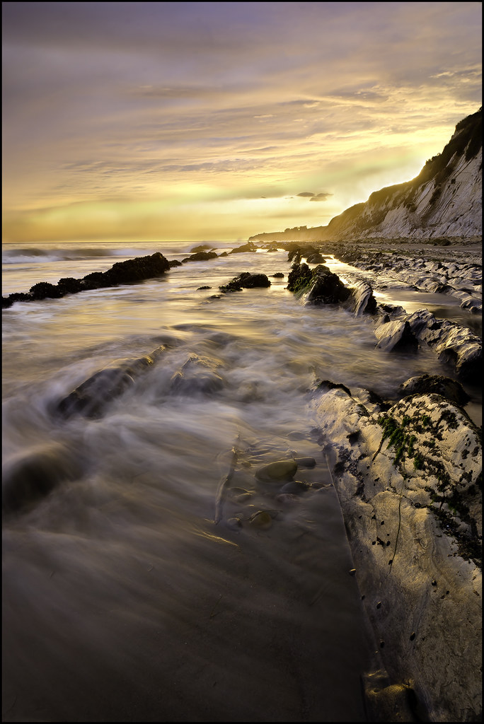
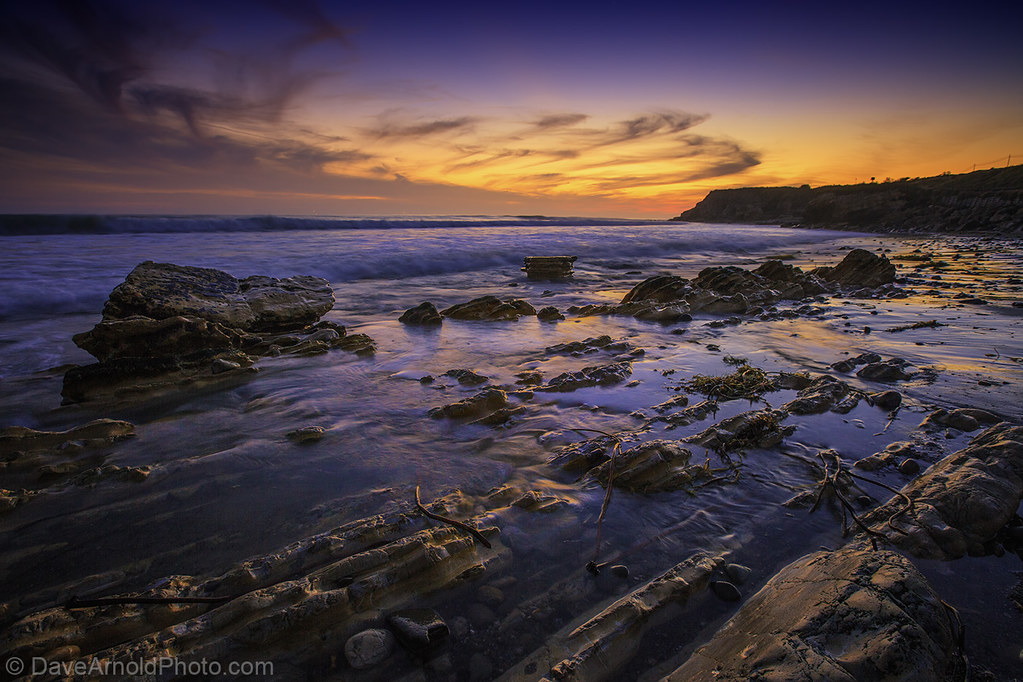
Arroyo Honda sunset
_H6A3944-Edit.jpg
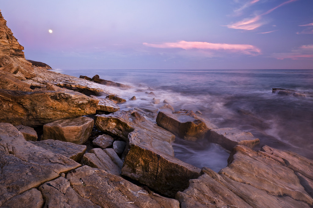
Refugio Moonrise

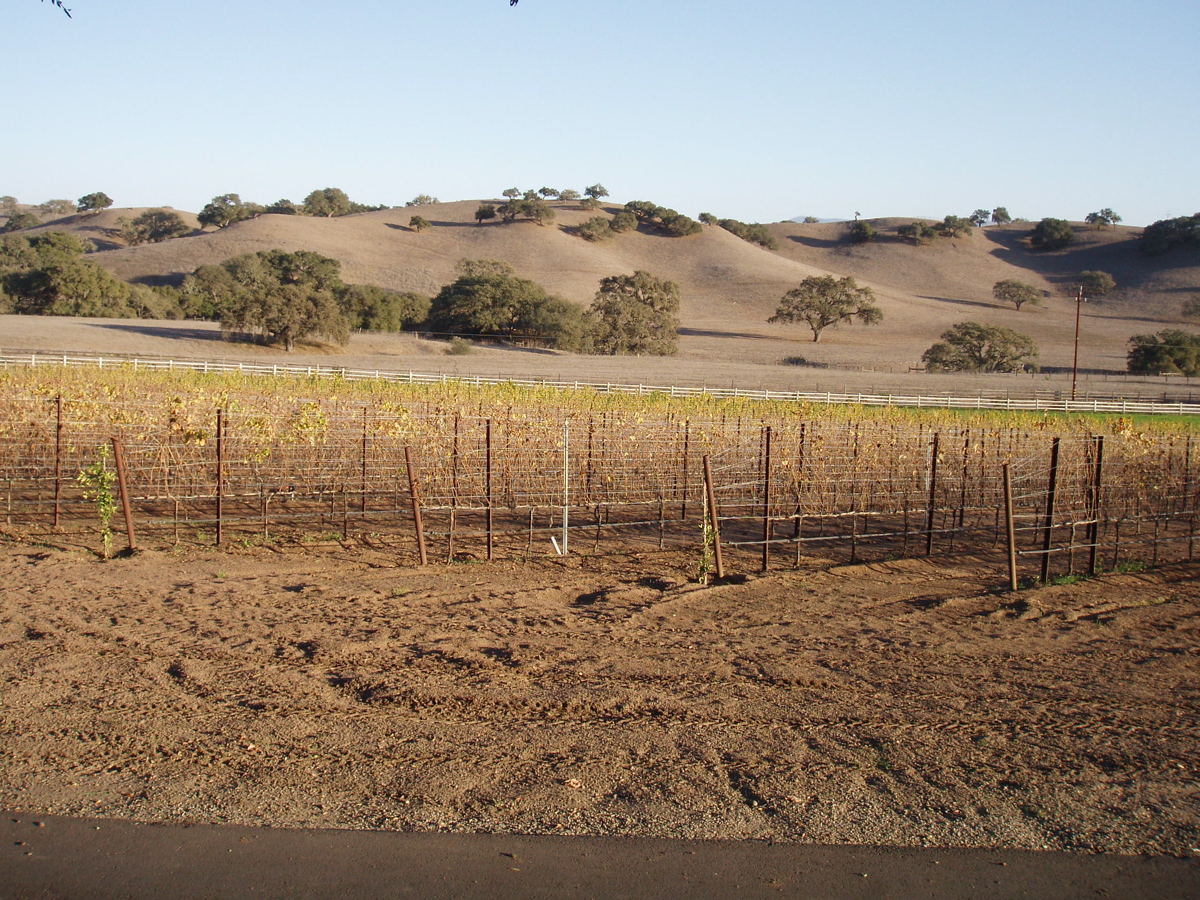
Wine Country - Alisal Road
Sunset Approaches, Santa Barbara

The Road to.... Wine!
20101230.Paseo a Solvang.0006-83.jpg
Science Lesson Today. Diatoms and Diatomaceous earth
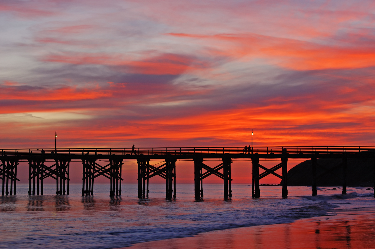
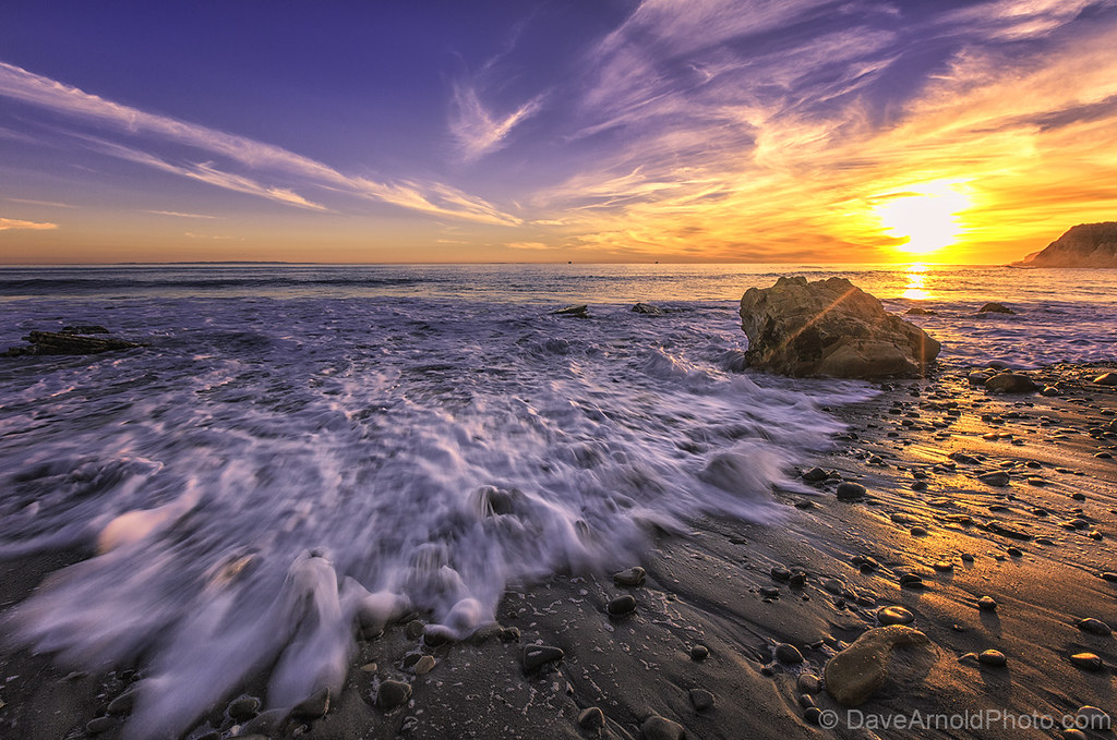
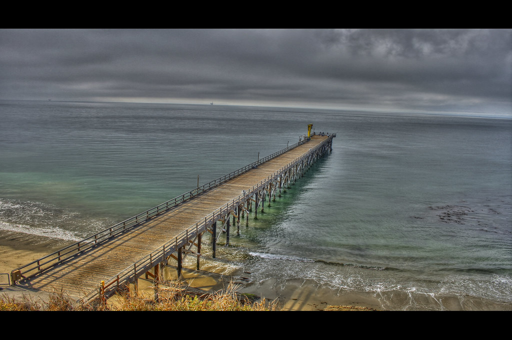
Gaviota Pier
29-0318-080621a

Element & Vision
...and a quick re-edit with #Snapseed
Topographic Map of Nojoqui Falls, California, USA
Find elevation by address:

Places near Nojoqui Falls, California, USA:
US-, Goleta, CA, USA
San Julian Rd, Gaviota, CA, USA
1570 Mountain View Dr
Gaviota Pass
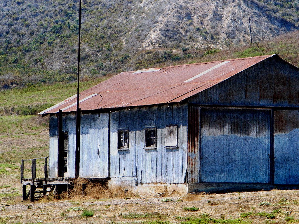
293 Alisal Rd
531 Park View Trail
Gaviota
Copenhagen Drive
Solvang
Gaviota Beach Rd, Gaviota, CA, USA
59 Hollister Ranch Rd
51 E Hwy, Buellton, CA, USA
Buellton
2097 Rebild Dr
2169 Refugio Rd
US-, Goleta, CA, USA
2886 Mission Dr
4024 Indian Way
3400 Ca-246
3350 Numancia St
Recent Searches:
- Elevation of 6 Rue Jules Ferry, Beausoleil, France
- Elevation of Sattva Horizon, 4JC6+G9P, Vinayak Nagar, Kattigenahalli, Bengaluru, Karnataka, India
- Elevation of Great Brook Sports, Gold Star Hwy, Groton, CT, USA
- Elevation of 10 Mountain Laurels Dr, Nashua, NH, USA
- Elevation of 16 Gilboa Ln, Nashua, NH, USA
- Elevation of Laurel Rd, Townsend, TN, USA
- Elevation of 3 Nestling Wood Dr, Long Valley, NJ, USA
- Elevation of Ilungu, Tanzania
- Elevation of Yellow Springs Road, Yellow Springs Rd, Chester Springs, PA, USA
- Elevation of Rēzekne Municipality, Latvia